862 KINGSTANDING ROAD
BIRMINGHAM, BIRMINGHAM, WEST MIDLANDS B44 9RT
£675 pcm
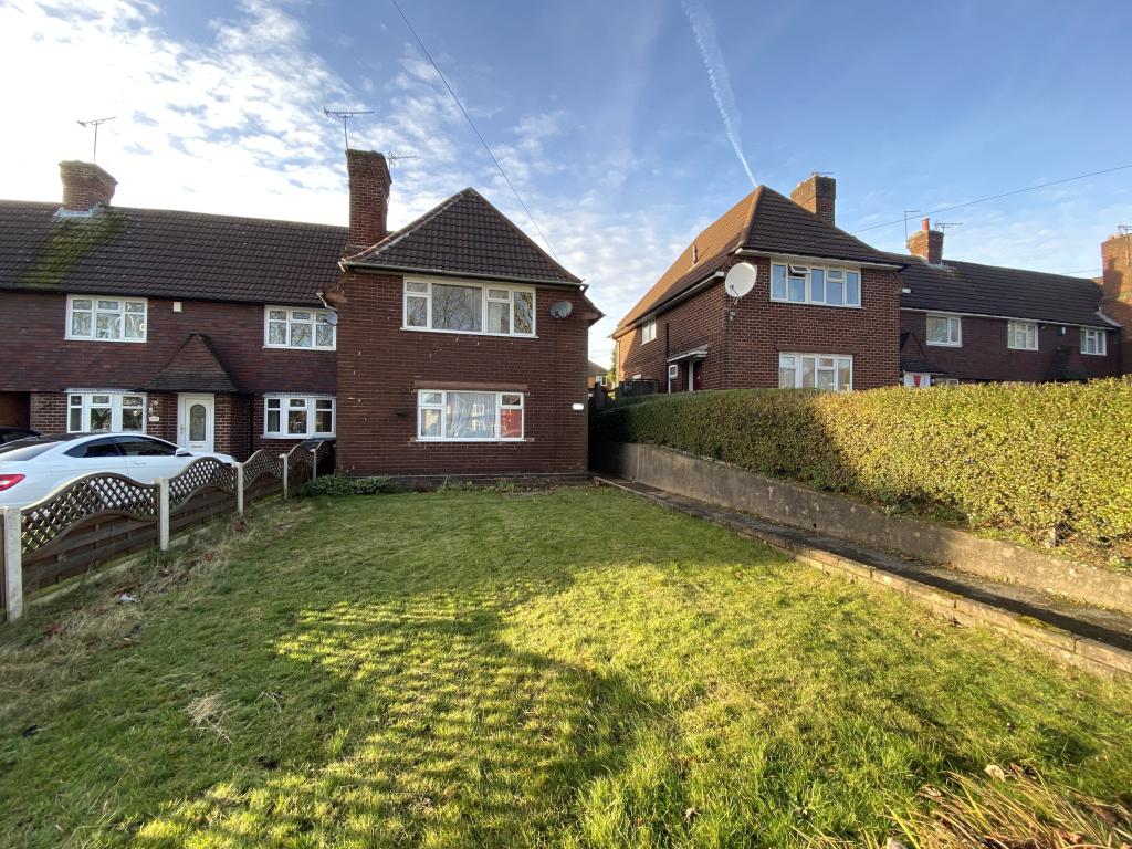
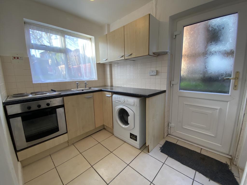
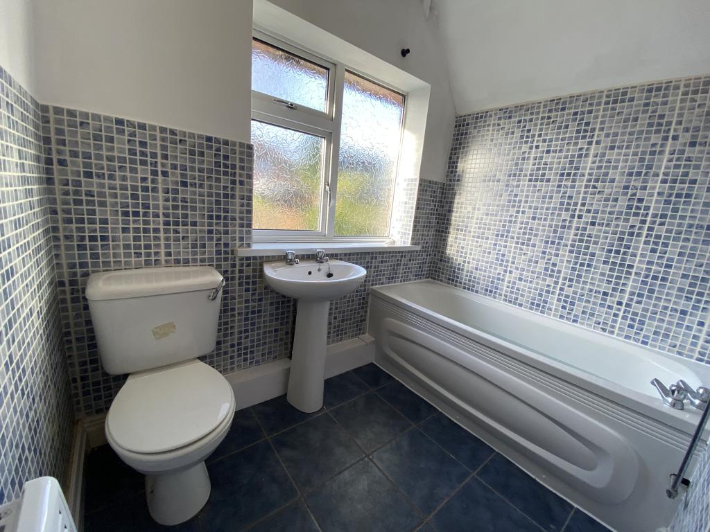
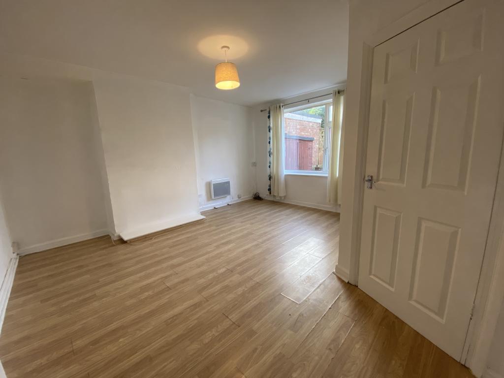
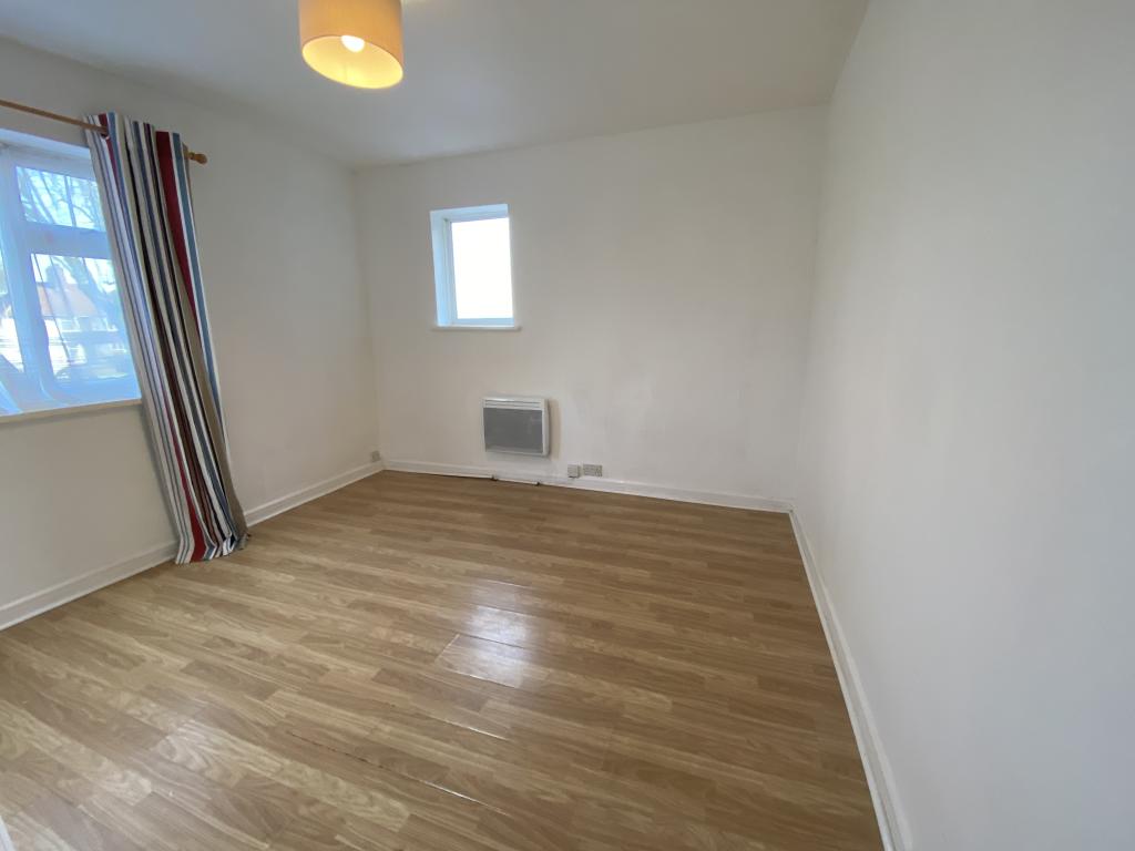
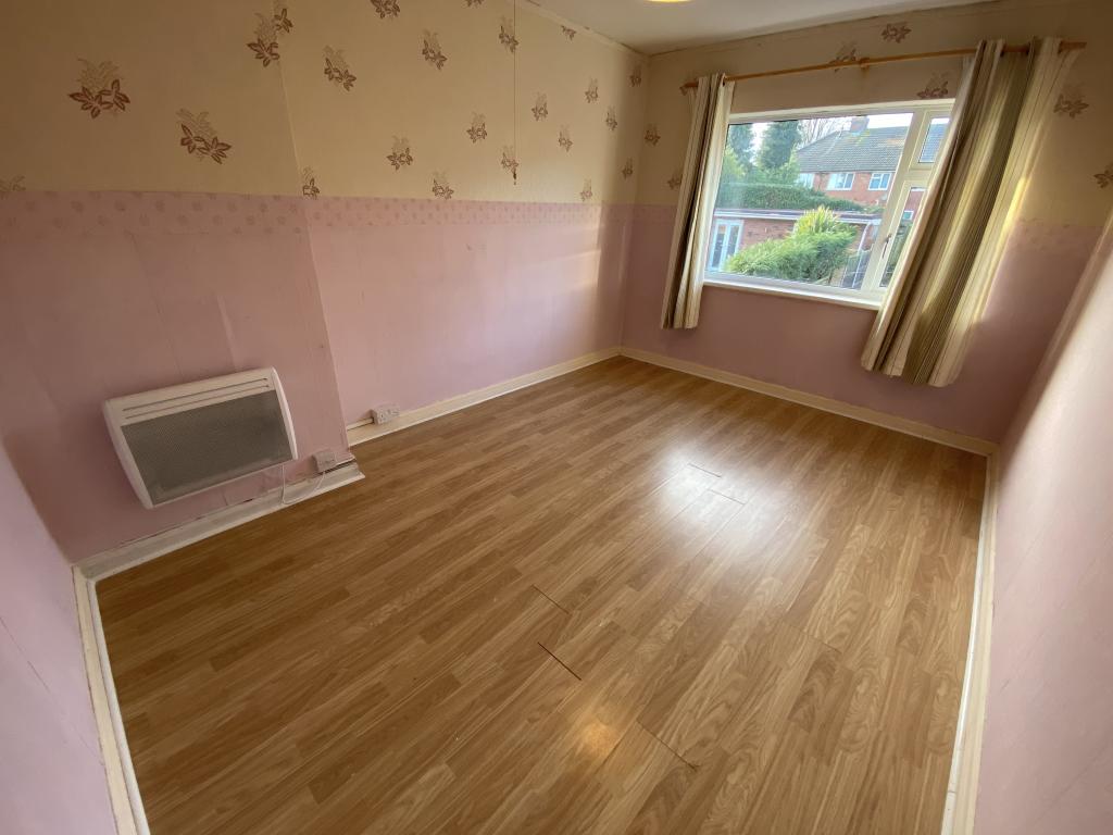
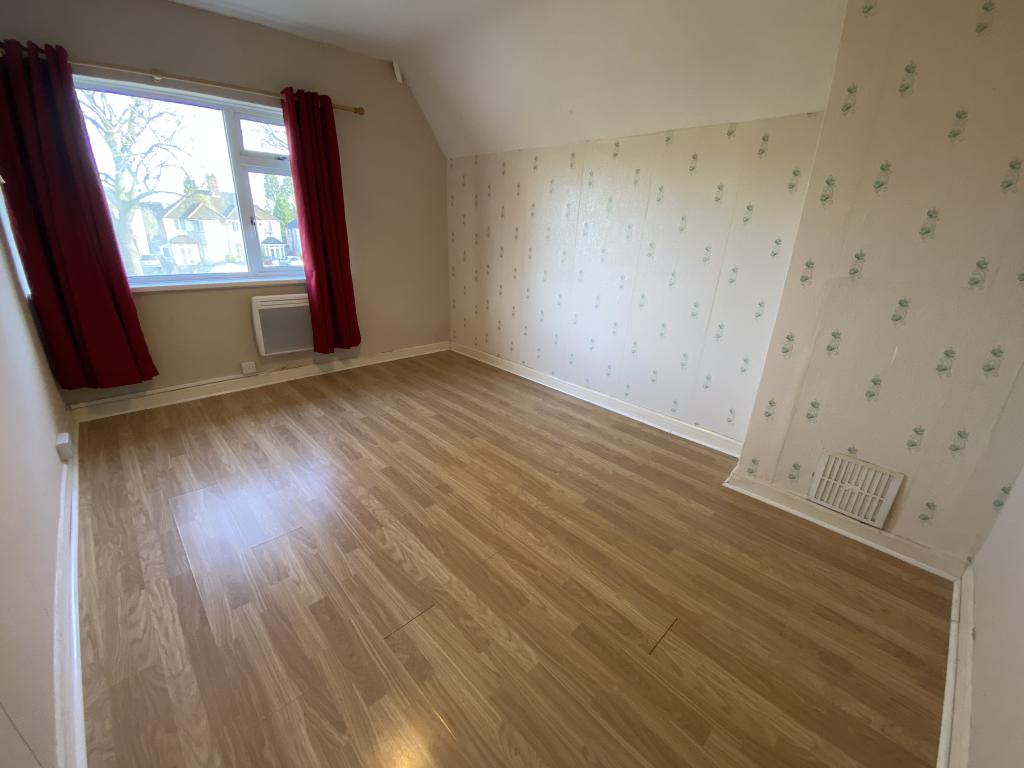
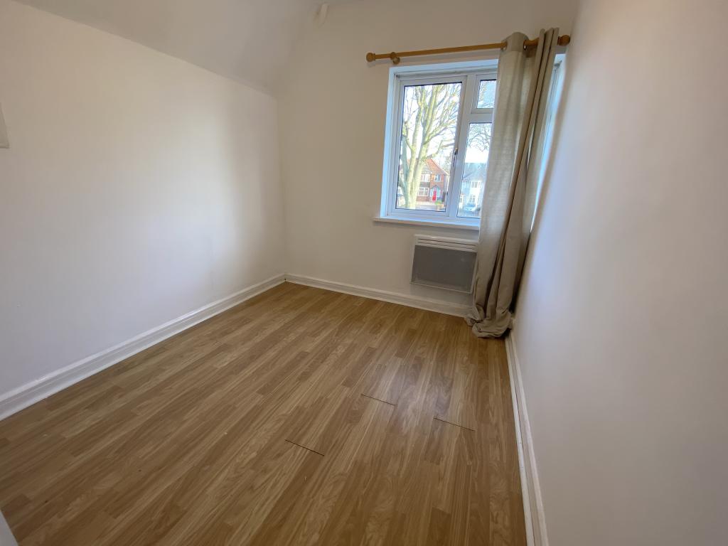
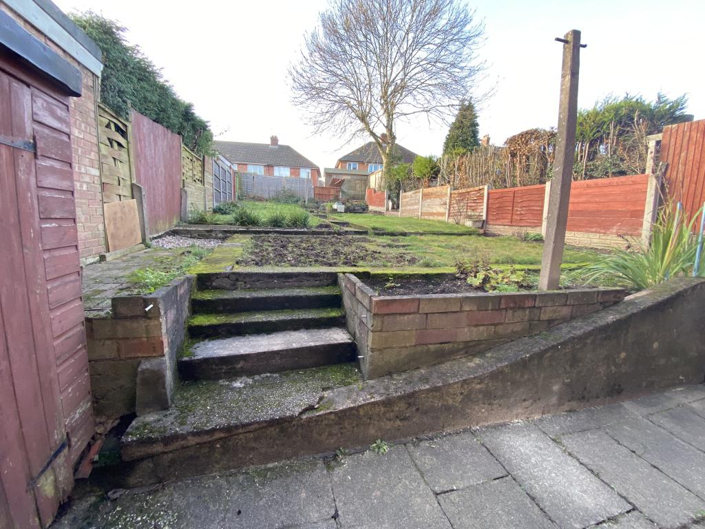
Photo 1 Photo 2 Photo 3 Photo 4 Photo 5 Photo 6 Photo 7 Photo 8 Photo 9
/ 9
Property details
Floor area
75 m²
Deprivation
Decile 4 (10,424 of 33,755)
Street crime
300 incidents within 1 mile (Apr 2026)
Key features
- Three bedroom end terrace
- Fitted kitchen with integrated cooker
- Two reception rooms
- Two double bedrooms
- Available now
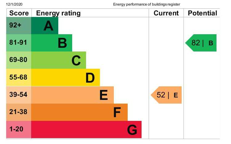
- EPC Rating: E
Additional details
- Parking
- Yes
- Garden
- Yes
Description
To the first floor you have two double bedrooms and good size third single bedroom.
Family bathroom with shower over bath, WC and hand basin.
Enclosed rear garden. Electric heating. On road parking.
Available for immediate occupation.
Listed by
Sutton Coldfield
Countrywide UK Lettings - Connells
Reference: 87257491
EPC Rating & Upgrade Cost
Fetching EPC data… Refresh this page in a moment.
Flood risk
Zone: 2
Risk: In flood risk area
Environment Agency Flood Risk Areas (APSFR)
EPC Graphs
Safety Inspection
Rental Range
Estimated market rent for Birmingham. Low = conservative, Realistic = average, Optimistic = best case.
Based on Local Authority from postcode lookup → Birmingham.
LHA (30th percentile) floor for Birmingham: £823/mo (Apr 2025 – Mar 2026)
Location
Nearby
Nearest stations, universities and amenities (distance from property).
| Type | Name | Distance |
|---|---|---|
| Shop | Sci Tech Planet | 0.0 miles |
| Shop | Home & Hardware | 0.0 miles |
| Bus stop | KL | 0.0 miles |
| Bus stop | KM | 0.1 miles |
| University | Maryvale Institute | 0.5 miles |
| Train station | Wylde Green | 2.3 miles |
| Train station | Hamstead | 2.5 miles |
| University | BIMM University Birmingham | 5.4 miles |
| Hospital | Sir Robert Peel Community Hospital | 8.2 miles |
| Hospital | Brian Oliver Centre | 8.2 miles |
Street-level crime
| Category | Count |
|---|---|
| Violence and sexual offences | 122 |
| Criminal damage and arson | 32 |
| Vehicle crime | 27 |
| Other theft | 23 |
| Shoplifting | 18 |
| Burglary | 15 |
| Anti-social behaviour | 14 |
| Public order | 14 |
| Other crime | 10 |
| Possession of weapons | 10 |
| Drugs | 9 |
| Robbery | 5 |
| Theft from the person | 1 |
| Total incidents | 300 |
Within 1 mile during Apr 2026. Source: data.police.uk (England & Wales).
Schools nearby
Nearest open schools with Ofsted ratings (England). Closed schools are not shown. Data from Get Information about Schools and Ofsted.
| Name | Type | Distance | Ofsted |
|---|---|---|---|
| Kingsland Primary School (NC) | Primary | 0.3 miles | Good — 8 Mar 2023 |
| The Bridge School | Other | 0.4 miles | Good — 10 Dec 2013 |
| Sutton Park Primary | Primary | 0.4 miles | Good — 9 May 2024 |
| Cardinal Wiseman Catholic School | Secondary | 0.4 miles | Good — 7 Nov 2016 |
| Aspire AP School 2 | Other | 0.5 miles | Good — 1 Feb 2022 |
Rental Comparables
Residential lets from OpenRent and Rightmove for the area (same bedroom count). Use to validate rent estimates. Student lets are excluded.
| Title | Rent | Beds | Distance | As seen on |
|---|---|---|---|---|
| 3 Bed Terraced House, Kings Road, B44 | £1,300/mo | 3 | 0.47 miles | OpenRent |
| 3 Bed Semi-Detached House, Sidcup Road, B44 | £1,150/mo | 3 | 0.55 miles | OpenRent |
Average rent: £1,225/mo (2 listings)