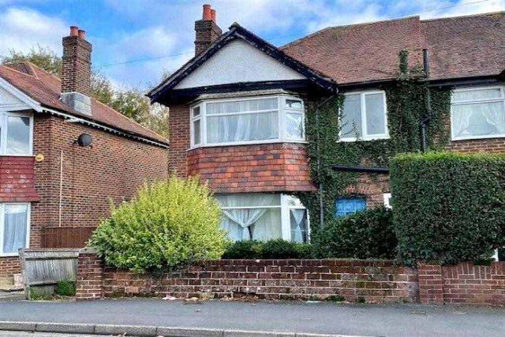
110 TREMONA ROAD
SOUTHAMPTON, SOUTHAMPTON, SOUTHAMPTON SO16 6HT
£435 pcm
Property details
Floor area
85 m²
Council tax band
C
EPC rating
C
Year built
England and Wales: 1930-1949
Deprivation
Decile 4 (10,551 of 33,755)
Street crime
441 incidents within 1 mile (Mar 2026)
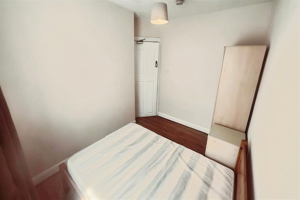
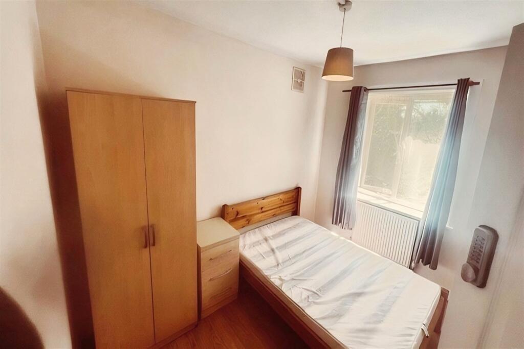
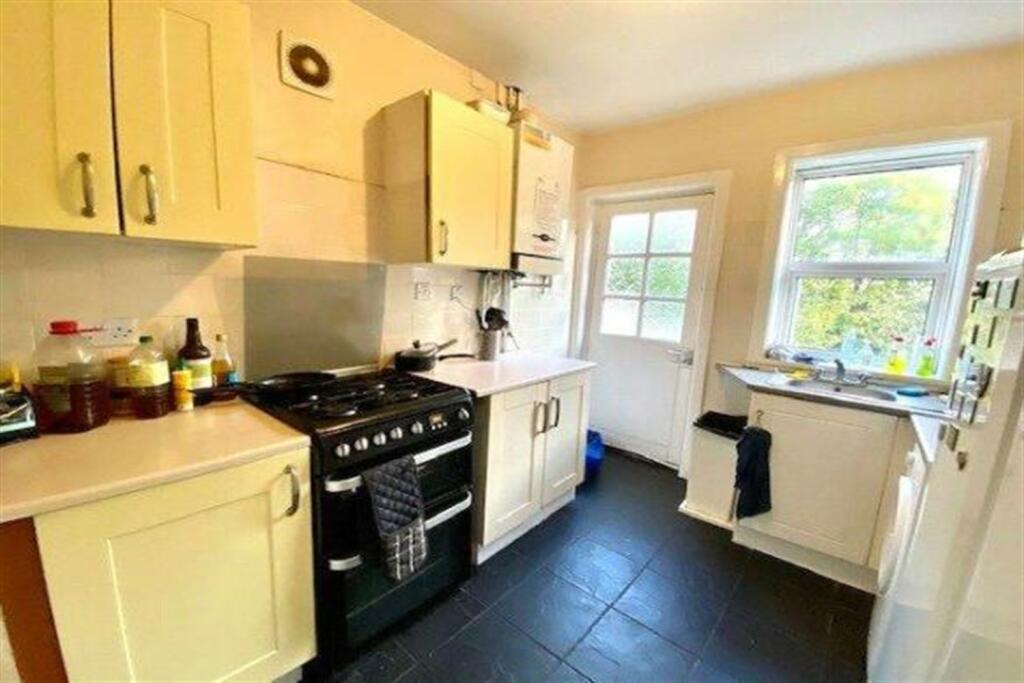
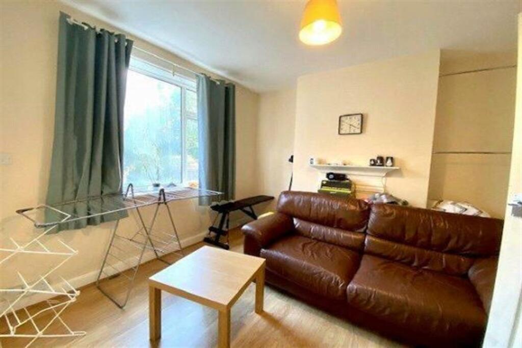
Description
The property is available Beginning May 2025 on a furnished basis with all bills included.
Minimum Term - 6 Months
Council Tax Band C (Included within rent)
One Double Bedroom
Listed by
Southampton
Embley Management Ltd
Reference: 87365769
EPC Rating & Upgrade Cost
Current rating: C
Potential rating: B
Inspection date: 27/08/2015
Current heating cost: £465/year
Potential heating cost: £409/year
Recommendations
- Floor insulation (suspended floor) (1,200)
- Low energy lighting for all fixed outlets (35)
- Upgrade heating controls (450)
- Solar water heating (6,000)
- Solar photovoltaic panels, 2.5 kWp (8,000)
Flood risk
Zone: 1
Risk: Low
Job (default Low)
Rental Range
Estimated market rent for Southampton. Low = conservative, Realistic = average, Optimistic = best case.
Based on Local Authority from postcode lookup → Southampton.
LHA (30th percentile) floor for Southampton: £698/mo (Apr 2025 – Mar 2026)
Location
Nearby
Nearest stations, universities and amenities (distance from property).
| Type | Name | Distance |
|---|---|---|
| Bus stop | Dale Valley Road | 0.1 miles |
| Bus stop | General Hospital, A&E | 0.2 miles |
| Shop | Claire's Cutting Room | 0.2 miles |
| Shop | WHSmith | 0.2 miles |
| Train station | Millbrook | 1.3 miles |
| Train station | Redbridge | 1.7 miles |
| Hospital | Royal South Hants Urgent Treatment Centre | 2.0 miles |
| University | Warsash Maritime Acadmeny | 2.6 miles |
| University | Waterfront Campus | 3.1 miles |
Street-level crime
| Category | Count |
|---|---|
| Violence and sexual offences | 169 |
| Anti-social behaviour | 66 |
| Shoplifting | 40 |
| Criminal damage and arson | 34 |
| Public order | 30 |
| Vehicle crime | 25 |
| Other theft | 20 |
| Other crime | 16 |
| Burglary | 13 |
| Drugs | 11 |
| Possession of weapons | 8 |
| Robbery | 5 |
| Bicycle theft | 2 |
| Theft from the person | 2 |
| Total incidents | 441 |
Within 1 mile during Mar 2026. Source: data.police.uk (England & Wales).
Schools nearby
Nearest open schools with Ofsted ratings (England). Closed schools are not shown. Data from Get Information about Schools and Ofsted.
| Name | Type | Distance | Ofsted |
|---|---|---|---|
| Southampton Hospital School | Other | 0.0 miles | Good — 4 Jan 2012 |
| Shirley Warren Primary & Nursery School | Primary | 0.3 miles | Requires improvement — 12 Jan 2023 |
| Shirley Infant School | Primary | 0.4 miles | Good — 8 Jun 2011 |
| Shirley Junior School | Primary | 0.4 miles | Good — 7 Jul 2017 |
| Wordsworth Primary and Nursery School | Primary | 0.4 miles | Requires improvement — 23 May 2023 |
Rental Comparables
Rental listings exist nearby, but none matched the 1-bedroom estimate from EPC for this property.