Lawn Road
Stafford, ST17 9AJ
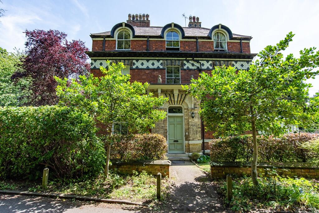
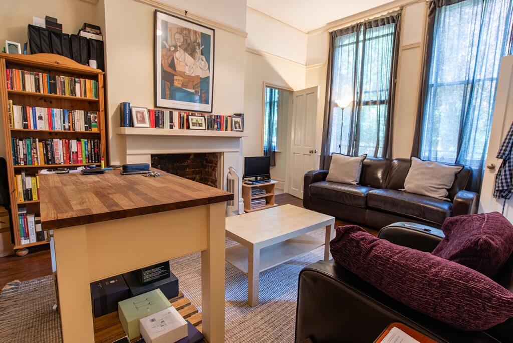
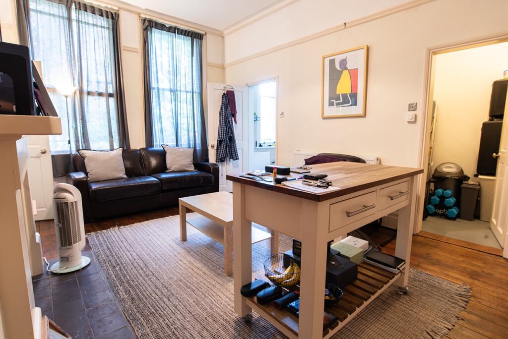
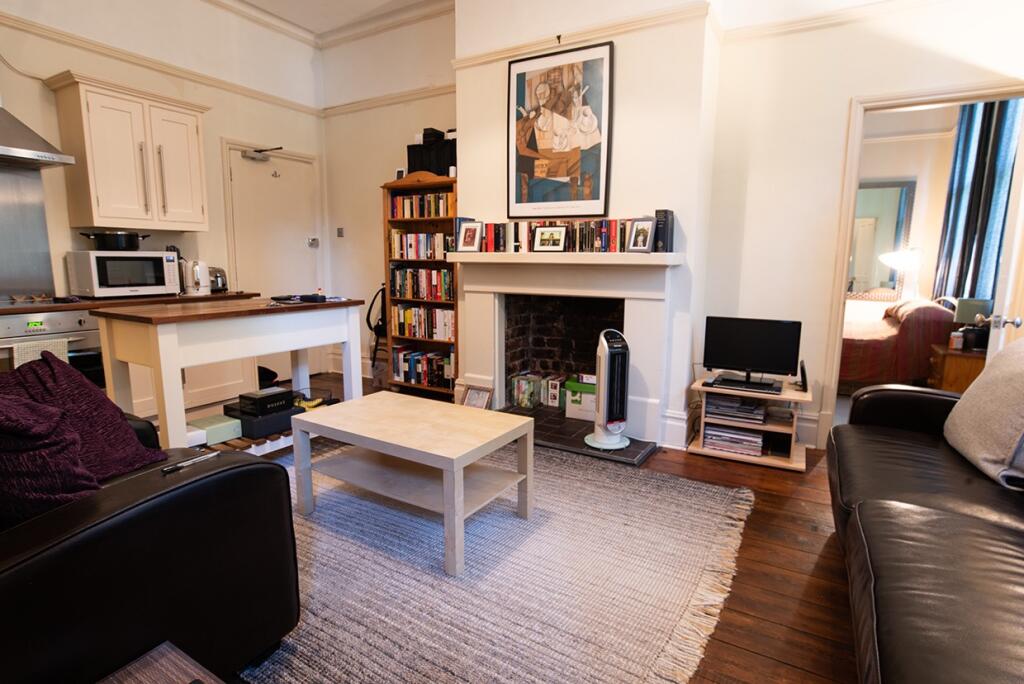
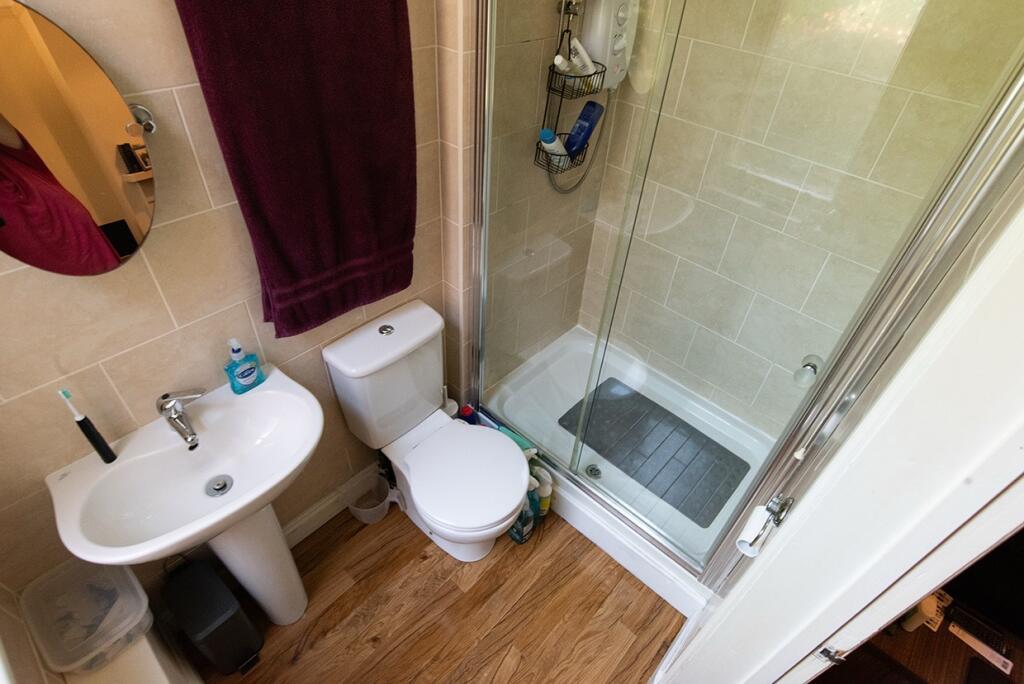
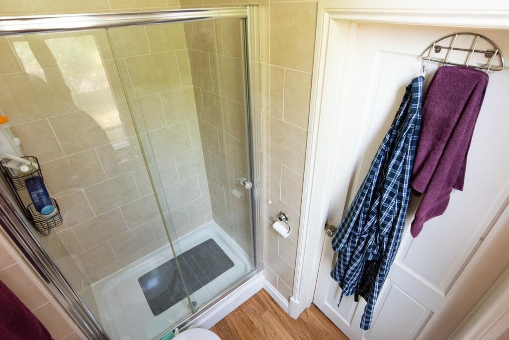
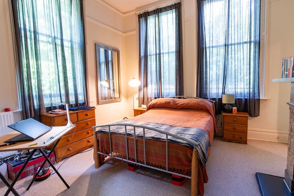
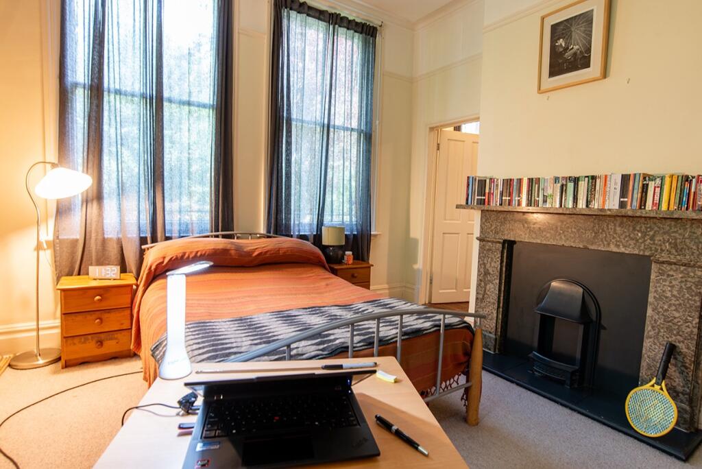
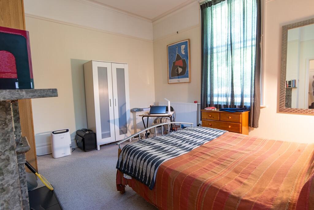
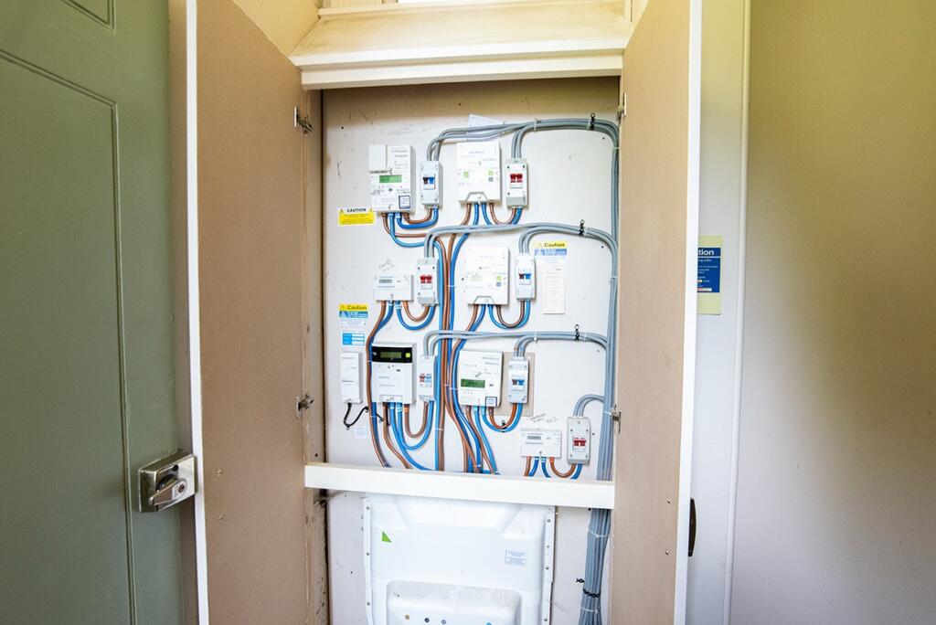
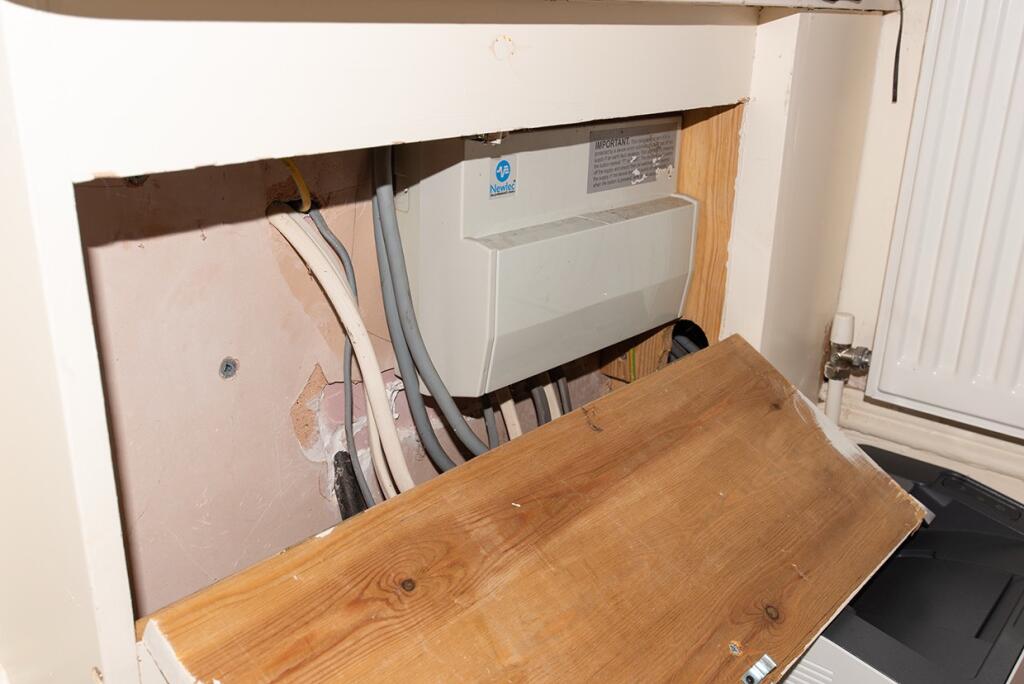
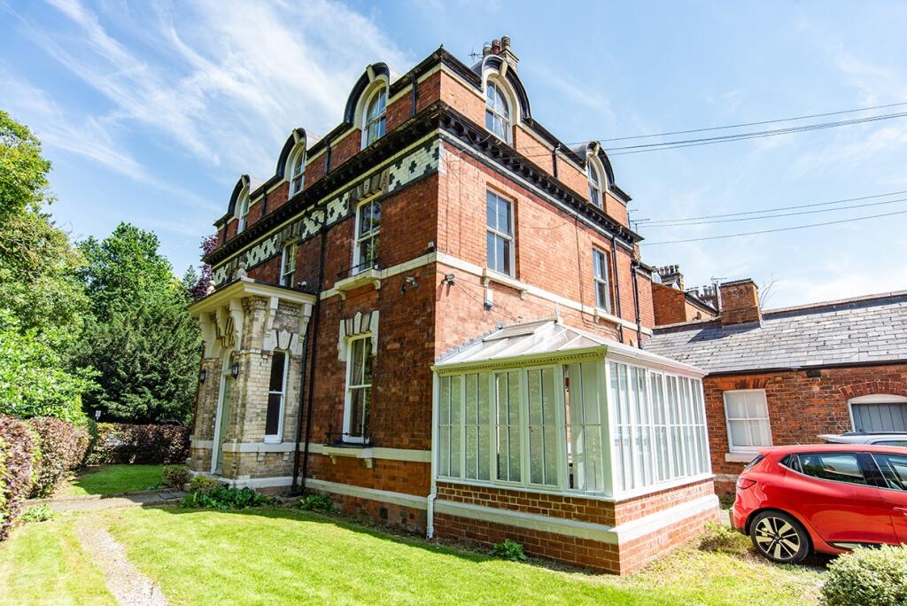
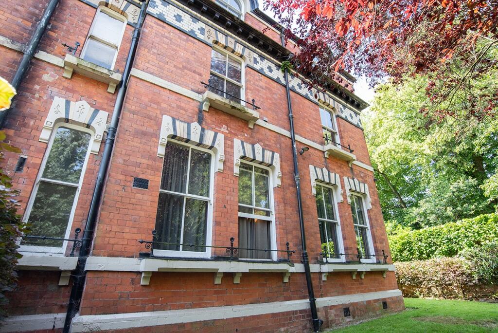
Photo 1 Photo 2 Photo 3 Photo 4 Photo 5 Photo 6 Photo 7 Photo 8 Photo 9 Photo 10 Photo 11 Photo 12 Photo 13 Photo 14 Photo 15 Photo 16
/ 16
Property details
Council tax band
A
Last sold
£130,000
Local average
£172,167 (-36.1%)
Deprivation
Decile 10 (30,975 of 33,755)
Street crime
409 incidents within 1 mile (Aug 2026)
Key features
- Shared Private Parking
- Shared Garden (front only)
- Tenant Currently Situated
- Likely to attract enquiries from Serious Investors & Developers
- INVESTMENT POTENTIAL DETAILED BELOW (Let Property Pack)
Additional details
- Parking
- Yes
- Garden
- Yes
Description
For investors looking to expand their portfolio, this is a fantastic opportunity!
This well-kept flat features 1 bedroom, 1 bathroom, a spacious lounge, a fully fitted kitchen with integrated appliances and an access to a shared private parking.
Investment details
It currently produces an annual gross income of £9,000 with tenants currently situated. Considering the purchase price and the potential rental income that could be earned in future years, this will make for a worthwhile addition to an investors property portfolio.
For greater detail on this property's investment potential, please see the Let Property Pack linked below.
If you are interested, please call us.
Tenancy Details
There are tenants that currently reside in the property and have consistently paid their rent for the duration of their stay. They do not have any intentions to move out so hope to remain in the property.
We are committed to facilitating a smooth transaction process between buyer and seller. To allow for maximum commitment to the sale from both parties, a Buyers Premium will apply in order to secure a property.
Listed by
Glasgow
Let Property Sales
Reference: 90311220
EPC ratings on this postcode
We don't have a matched EPC for this property yet. Below are efficiency scores and details for other addresses on this postcode.
| Address | Current | Potential | Floor area | Age band | Type |
|---|---|---|---|---|---|
| 12, Lawn Road, STAFFORD | 61 | 71 | 158 m² | England and Wales: 1930-1949 | Detached |
| 17, Lawn Road, STAFFORD | 58 | 77 | 179 m² | England and Wales: 1930-1949 | Detached |
| 18, Lawn Road, STAFFORD | 32 | 81 | 162 m² | England and Wales: 1900-1929 | Detached |
| 19 Lawn Road, STAFFORD | 56 | 74 | 372 m² | England and Wales: 1900-1929 | Detached |
| 3 Lawn Road, STAFFORD | 61 | 82 | 204 m² | England and Wales: 1900-1929 | Terraced |
| 9, Lawn Road, STAFFORD | 61 | 80 | 176 m² | England and Wales: 1930-1949 | Detached |
| Flat 1, 15, Lawn Road, STAFFORD | 43 | 73 | 26 m² | England and Wales: before 1900 | Flat |
| Flat 1, 20 Lawn Road, STAFFORD | 48 | 81 | 56 m² | England and Wales: 1900-1929 | Flat |
| Flat 2, 1, Lawn Road, STAFFORD | 18 | 61 | 45 m² | England and Wales: 1900-1929 | Flat |
| Flat 2, 20 Lawn Road, STAFFORD | 56 | 76 | 68 m² | England and Wales: 1900-1929 | Flat |
| Flat 2, 20 Lawn Road, STAFFORD | 37 | 76 | 75 m² | England and Wales: 1900-1929 | Flat |
| Flat 3 Lawn House, 15, Lawn Road, STAFFORD | 65 | 78 | 47 m² | England and Wales: 1900-1929 | Flat |
| Flat 3, 1, Lawn Road, STAFFORD | 38 | 67 | 43 m² | England and Wales: 1900-1929 | Flat |
| Flat 3, 20 Lawn Road, STAFFORD | 55 | 82 | 46 m² | England and Wales: 1900-1929 | Flat |
| Flat 3, 20 Lawn Road, STAFFORD | 57 | 83 | 46 m² | England and Wales: 1900-1929 | Flat |
Flood risk
Zone: 1
Risk: Low
Job (default Low)
Registered land (INSPIRE)
This location falls inside an HM Land Registry INSPIRE registered freehold polygon.
Building plot (shared): ~585 m² (0.14 acres) (area is for the building, not the flat)
Source: HM Land Registry INSPIRE Index Polygons.
Floorplans
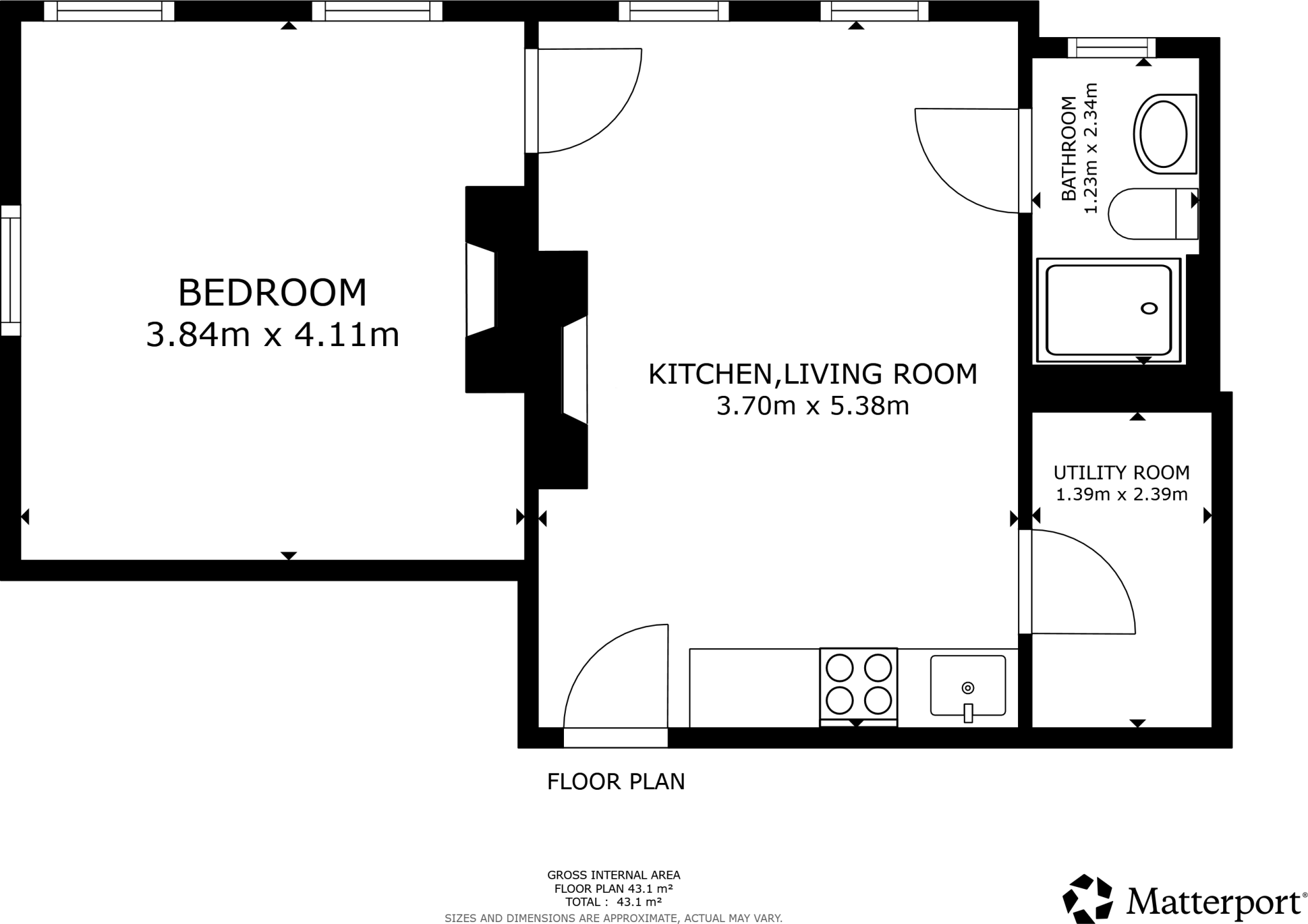
Floor Plan
EPC Graphs

EPC
Price history
| Event | Date | Price | % change |
|---|---|---|---|
| Listed for sale | — | £110,000 | — |
Source: HM Land Registry Price Paid Data. Crown copyright.
Sold Comparables
Same street and nearby sales within 0.25 miles (last 5 years). Data from Land Registry Price Paid.
| Address | Price | Date | Type |
|---|---|---|---|
| Same street 1 FLAT 1 LAWN ROAD, STAFFORD, STAFFORDSHIRE, ST17 9AJ | £155,000 | 06/10/2023 | Flat |
| Same street LAWN HOUSE, 15 FLAT 5 LAWN ROAD, STAFFORD, STAFFORDSHIRE, ST17 9AJ | £106,000 | 25/11/2022 | Flat |
| Same street 1 FLAT 4 LAWN ROAD, STAFFORD, STAFFORDSHIRE, ST17 9AJ | £144,500 | 28/10/2022 | Flat |
| 28A CRESCENT ROAD, STAFFORD, STAFFORDSHIRE, ST17 9AL | £285,000 | 04/02/2022 | Flat |
| Same street 1 FLAT 1 LAWN ROAD, STAFFORD, STAFFORDSHIRE, ST17 9AJ | £147,500 | 01/12/2021 | Flat |
Street average: £138,250 (4 sales)
Area average: £285,000 (1 sale)
Capital growth trend
Land Registry outcode average: last 12 months vs 5y and 10y ago (from sold prices).
House Price Index (HM Land Registry — official index, not sold-price averages): Stafford. Series: Flats and maisonettes. As of July 2026.
Rental Range
Estimated market rent for Stafford. Low = conservative, Realistic = average, Optimistic = best case.
Based on Local Authority from postcode lookup → Stafford.
LHA (30th percentile) floor for Mid Staffs: £499/mo (Apr 2025 – Mar 2026)
Location
Address
Lawn Road
Nearby
Nearest stations, universities and amenities (distance from property).
| Type | Name | Distance |
|---|---|---|
| Bus stop | Rowley Grove | 0.3 miles |
| Shop | Unknown | 0.3 miles |
| Shop | Tritex Games | 0.4 miles |
| Train station | Stafford | 0.4 miles |
| Hospital | County Hospital | 1.5 miles |
| University | Staffordshire University Blackheath Lane Site | 2.4 miles |
| Hospital | Beacon Park Hospital | 2.5 miles |
| Train station | Penkridge | 5.1 miles |
Street-level crime
| Category | Count |
|---|---|
| Violence and sexual offences | 147 |
| Public order | 61 |
| Anti-social behaviour | 56 |
| Shoplifting | 38 |
| Other theft | 26 |
| Criminal damage and arson | 22 |
| Drugs | 13 |
| Bicycle theft | 10 |
| Vehicle crime | 10 |
| Other crime | 7 |
| Possession of weapons | 7 |
| Robbery | 6 |
| Burglary | 4 |
| Theft from the person | 2 |
| Total incidents | 409 |
Within 1 mile during Aug 2026. Source: data.police.uk (England & Wales).
Schools nearby
Nearest open schools with Ofsted ratings (England). Closed schools are not shown. Data from Get Information about Schools and Ofsted.
| Name | Type | Distance | Ofsted |
|---|---|---|---|
| Blessed William Howard Catholic School | Secondary | 0.2 miles | Good — 6 Nov 2012 |
| King Edward VI High School | Secondary | 0.3 miles | Good — 4 Sep 2018 |
| Rowley Park Primary Academy | Primary | 0.4 miles | Good — 26 May 2017 |
| Blessed Mother Teresa's Catholic Primary School | Primary | 0.5 miles | Good — 18 May 2022 |
| Bailey Street Alternative Provision Academy | Other | 0.5 miles | Requires improvement — 18 Jan 2024 |
Rental Comparables
Residential lets from OpenRent and Rightmove for the area (same bedroom count). Use to validate rent estimates. Student lets are excluded.
| Title | Rent | Beds | Distance | As seen on |
|---|---|---|---|---|
| 1 Bed Flat, Victoria Road, ST16 | £875/mo | 1 | 0.52 miles | OpenRent |
| Studio Flat, Gaol Road, ST16 | £485/mo | 1 | 1.11 miles | OpenRent |
| 1 Bed Flat, Marston Road, ST16 | £850/mo | 1 | 1.16 miles | OpenRent |
Average rent: £737/mo (3 listings)
Rent-driven metrics
Based on OpenRent comparables.
- Rent ratio — Monthly rent ÷ purchase price (1% rule). 1%+ = strong, 0.8–1% = okay, <0.8% = weak for cashflow.
- Max investor price — Rent ÷ 0.8%; the price at which rent would be 0.8% of price (Stoke-style target).
- Target investor price — Rent ÷ 1%; the price at which rent would be 1% of price (strong cashflow band).
- Gross yield — Annual rent as % of purchase price (no costs).
- Cost-to-rent — Price ÷ annual rent (from OpenRent comparables). Under 14× = strong, 14–16× = acceptable, 17×+ = compressed.
- Cashflow — Rent minus mortgage, 10% maintenance, £25/mo compliance. Assumes 75% LTV, 3.95% APR (5yr fixed), 25yr term.
- ROI — Annual profit ÷ cash in (deposit + 4% purchase costs).
Enter House Number
Enter the house number to help us retrieve more accurate pricing history and property data.
Please log in to submit or correct the house number for this listing.
Log in to continue