45 WORLABY ROAD
GRIMSBY, NORTH EAST LINCOLNSHIRE DN33 3JU
£925 pcm
Property details
Floor area
66 m²
Council tax band
B
Deprivation
Decile 8 (26,565 of 33,755)
Street crime
124 incidents within 1 mile (Aug 2026)
Key features
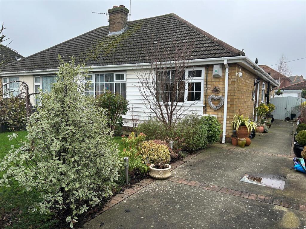
- POPULAR SCARTHO AREA
- SEMI-DETACHED BUNGALOW PERFECT FOR RETIRED PERSON/S
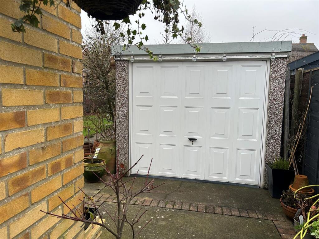
- DETACHED GARAGE
- GATED DRIVEWAY
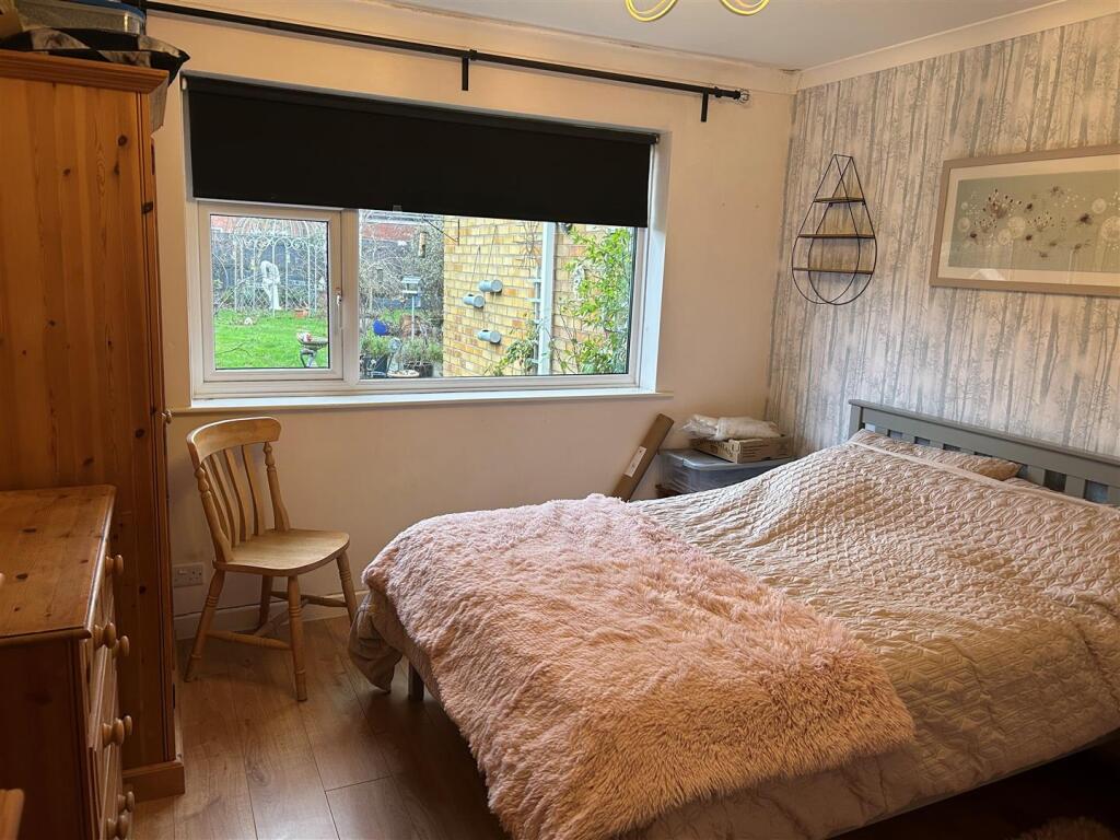
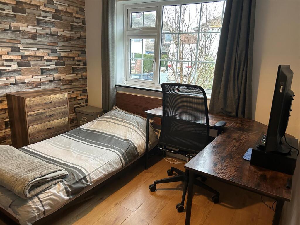
- 2 DOUBLE BEDROOMS
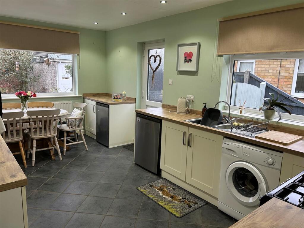
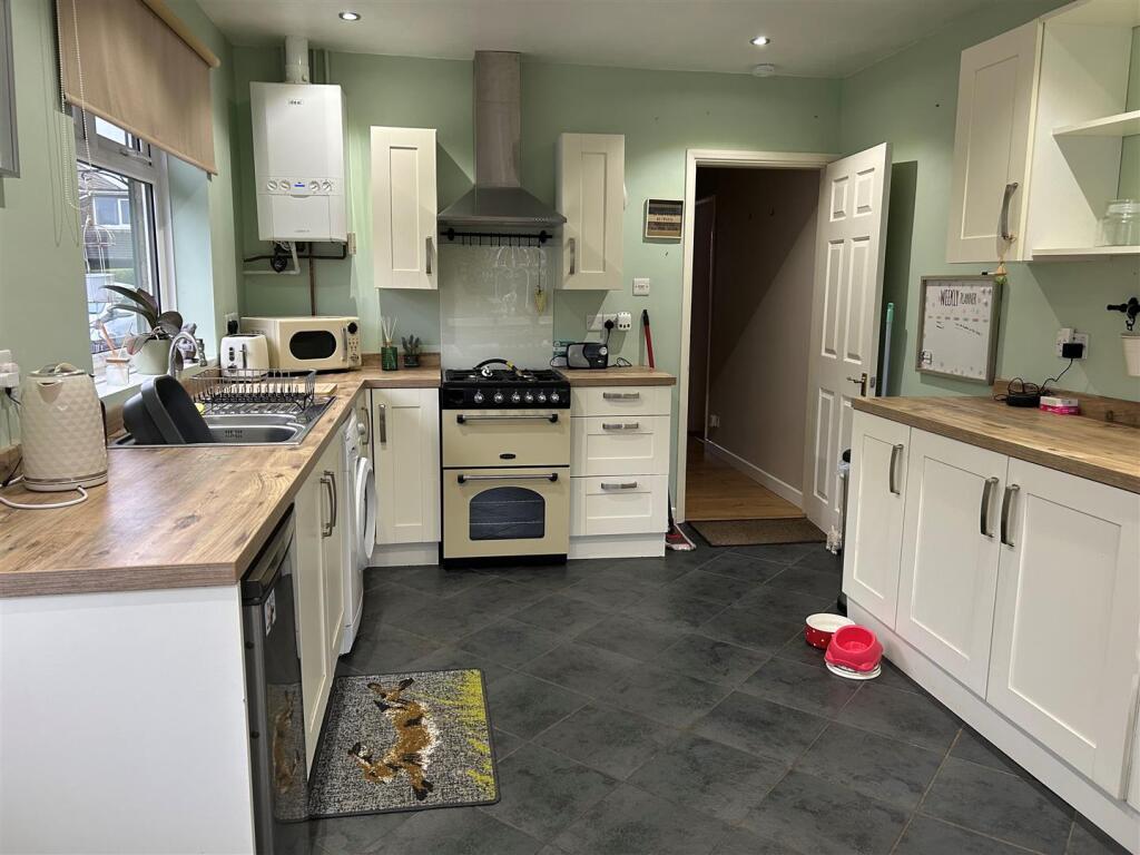
- LARGE FITTED KITCHEN WITH DINING AREA
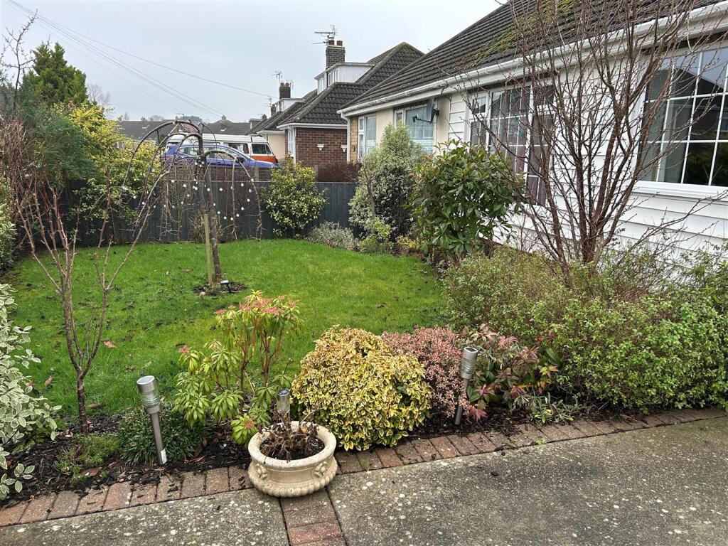
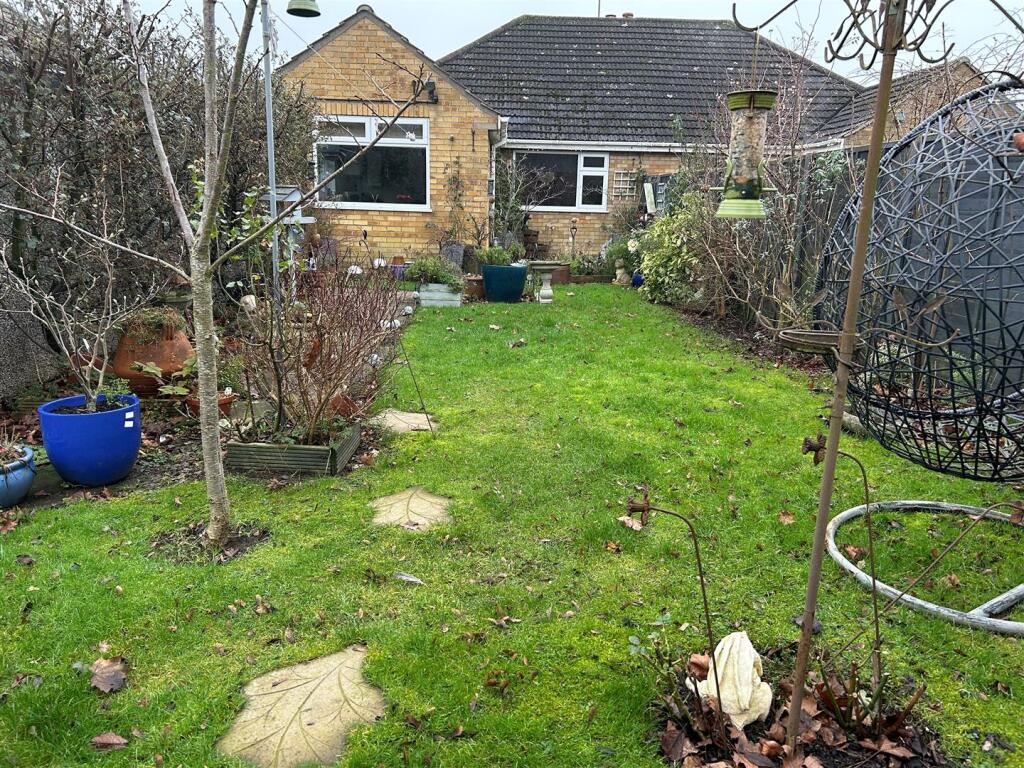
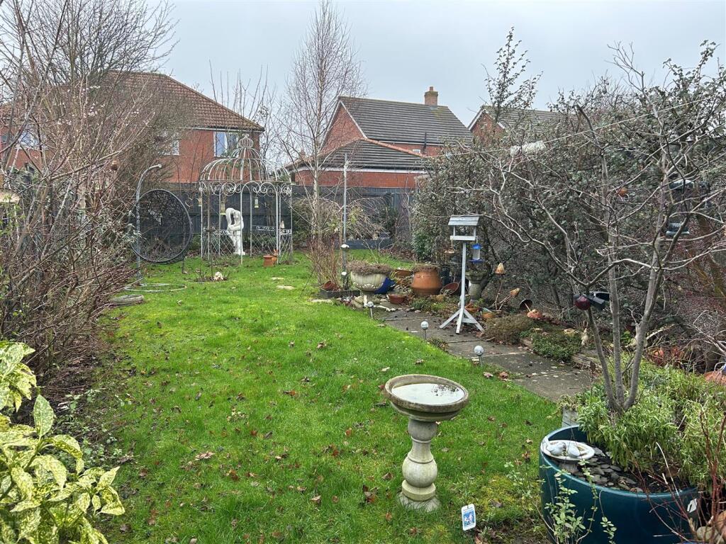
- BEAUTIFUL GARDENS
- HOLDING DEPOSIT £200.00 PAYABLE UPON APPLICATION
- INCOME OF £27,750.00 REQUIRED TO APPLY FOR PROPERTY
Additional details
- Electricity
- Mains supply
- Water
- Mains supply
- Sewerage
- Mains supply
- Heating
- Gas central
- Parking
- Yes
- Garden
- Yes
Description
Viewings available after 13th October 2026
Council tax band B
Holding deposit of £200.00 is required when applying for the property
Listed by
Cleethorpes
Bettles, Miles & Holland
Reference: 93940608
Flood risk
Zone: 1
Risk: Low
Job (default Low)
Registered land (INSPIRE)
This location falls inside an HM Land Registry INSPIRE registered freehold polygon.
Plot: ~356 m² (0.09 acres)
Source: HM Land Registry INSPIRE Index Polygons.
EPC Graphs
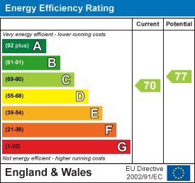
EE Rating
Rental Range
Estimated market rent for North East Lincolnshire. Low = conservative, Realistic = average, Optimistic = best case.
Based on Local Authority from postcode lookup → North East Lincolnshire.
LHA (30th percentile) floor for Grimsby: £479/mo (Apr 2025 – Mar 2026)
Location
Nearby
Nearest stations, universities and amenities (distance from property).
| Type | Name | Distance |
|---|---|---|
| Bus stop | Well Vale | 0.1 miles |
| Shop | Scartho News Extra | 0.3 miles |
| Shop | Lincolnshire Co-op | 0.4 miles |
| University | University Centre Grimsby | 1.4 miles |
| University | University Centre (University of Hull) | 1.4 miles |
| Hospital | Harrison House | 1.6 miles |
| Hospital | St Hughs | 1.7 miles |
| Train station | Grimsby Town | 2.1 miles |
| Train station | Grimsby Docks | 3.0 miles |
Street-level crime
| Category | Count |
|---|---|
| Violence and sexual offences | 57 |
| Criminal damage and arson | 19 |
| Anti-social behaviour | 12 |
| Public order | 10 |
| Other crime | 5 |
| Shoplifting | 5 |
| Burglary | 4 |
| Other theft | 3 |
| Possession of weapons | 3 |
| Bicycle theft | 2 |
| Drugs | 2 |
| Vehicle crime | 2 |
| Total incidents | 124 |
Within 1 mile during Aug 2026. Source: data.police.uk (England & Wales).
Schools nearby
Nearest open schools with Ofsted ratings (England). Closed schools are not shown. Data from Get Information about Schools and Ofsted.
| Name | Type | Distance | Ofsted |
|---|---|---|---|
| Fairfield Academy | Primary | 0.3 miles | Good — 17 Jan 2011 |
| Springfield Primary Academy | Primary | 0.3 miles | Good — 19 Sep 2018 |
| Scartho Nursery School | Nursery | 0.5 miles | Good — 1 Jul 2024 |
| Scartho Infants' School and Nursery | Primary | 0.8 miles | Requires improvement — 13 Jun 2022 |
| Scartho Junior Academy | Primary | 0.8 miles | Good — 8 Apr 2014 |
Rental Comparables
Residential lets from OpenRent and Rightmove for the area (same bedroom count). Use to validate rent estimates. Student lets are excluded.
| Title | Rent | Beds | Distance | As seen on |
|---|---|---|---|---|
| Worlaby Road, Grimsby | £925/mo | 2 | 0 miles | Rightmove |
| Fenwick Road, Scartho Top, DN33 | £795/mo | 2 | 0.22 miles | Rightmove |
| Edinburgh Way, Scartho Top, Grimsby | £850/mo | 2 | 0.28 miles | Rightmove |
| Watson Drive, Grimsby, DN33 | £975/mo | 2 | 0.35 miles | Rightmove |
| Scartho Top, Grimsby, DN33 | £975/mo | 2 | 0.35 miles | Rightmove |
| Bridges Close, Grimsby, DN33 | £975/mo | 2 | 0.41 miles | Rightmove |
| Mayflower Lane, Grimsby, North East Lincolnshire | £925/mo | — | 0.55 miles | Rightmove |
| Belgrave Road, Scartho Top, DN33 | £700/mo | 2 | 0.56 miles | Rightmove |
| Sheldon Road, Scartho Top, Grimsby, Lincolnshire, DN33 | £770/mo | 2 | 0.71 miles | Rightmove |
Average rent: £877/mo (9 listings)