Lodge Farm
Fanshawe Lane, Henbury, Cheshire, Sk11 9PL, SK11 9PL
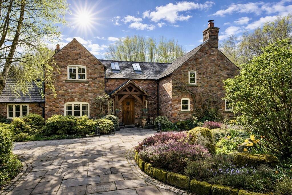

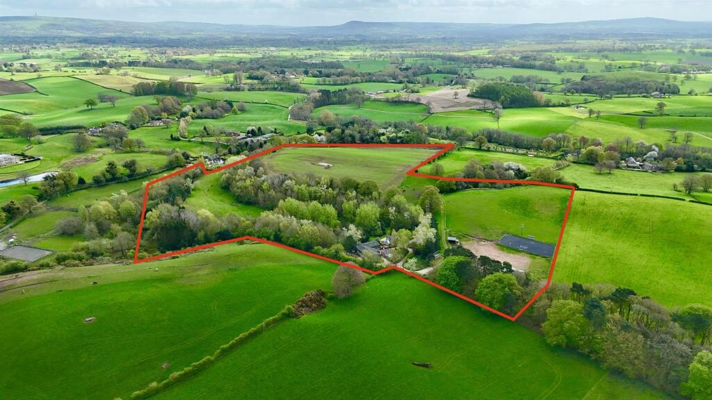
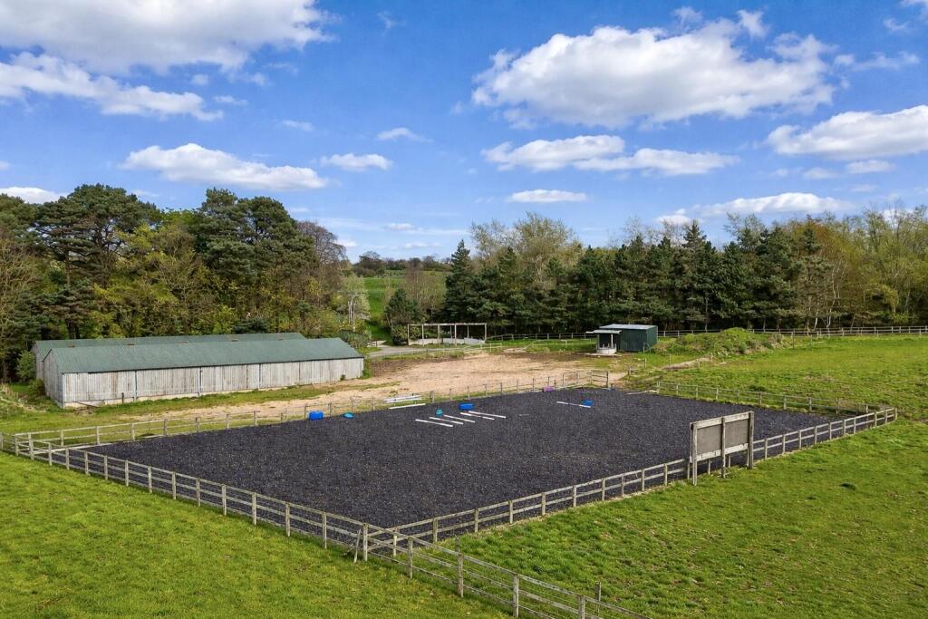
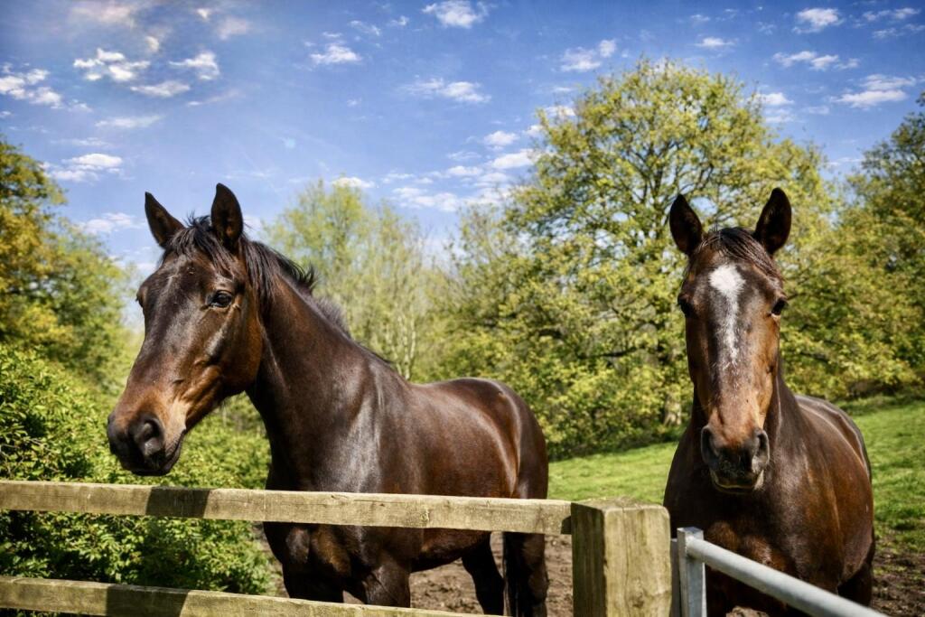
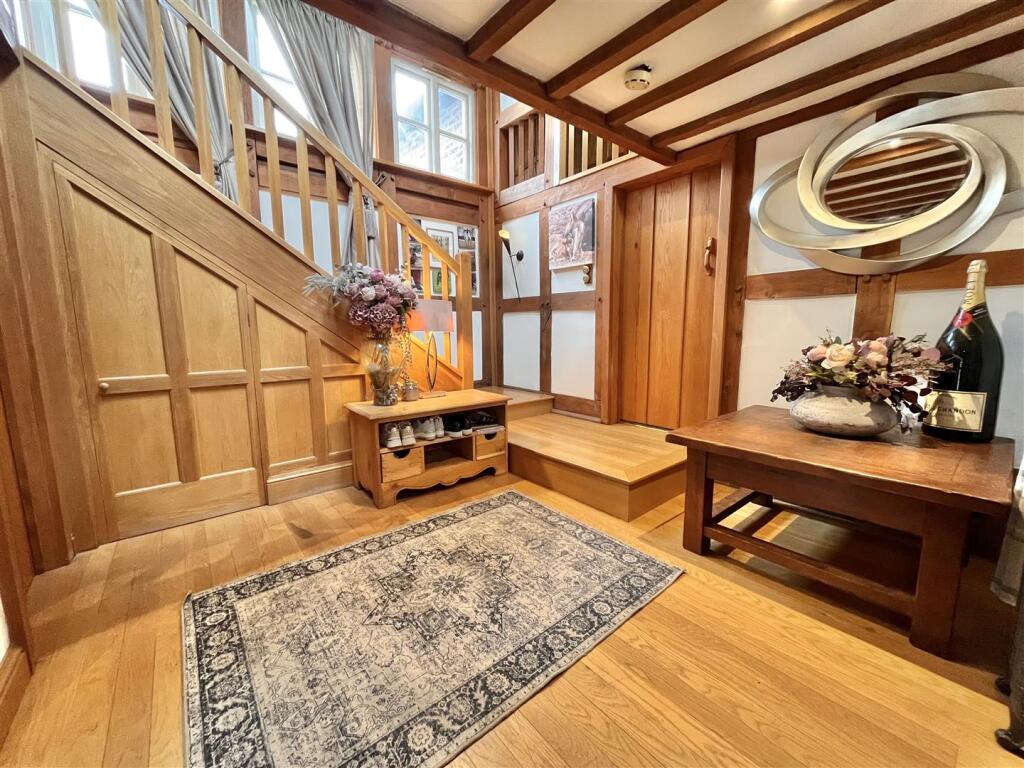
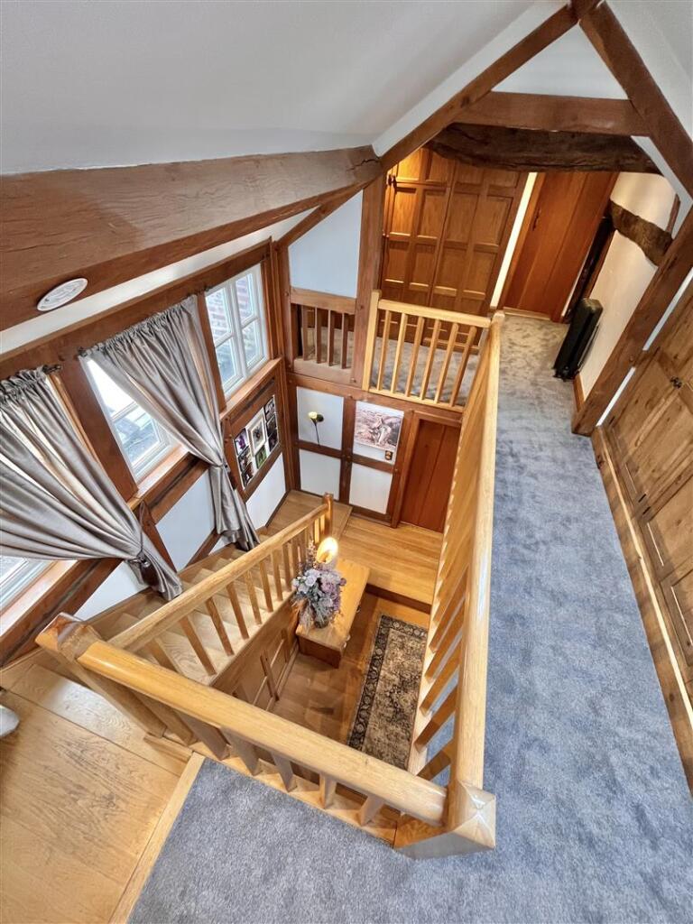
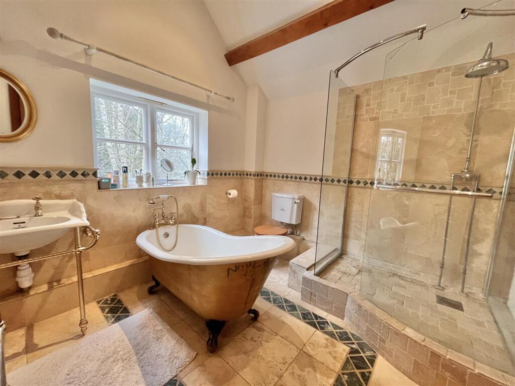
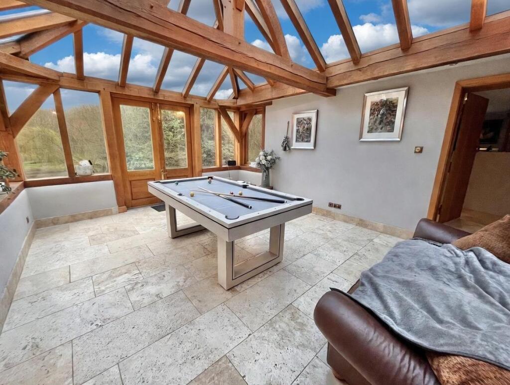
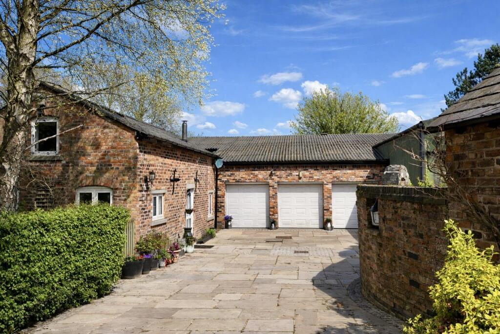
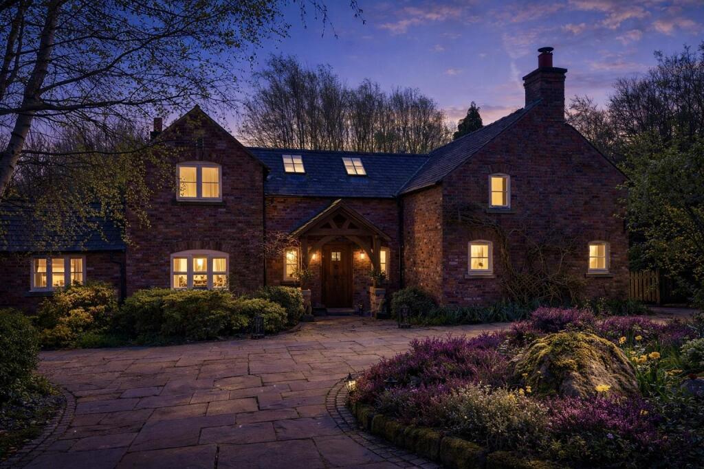
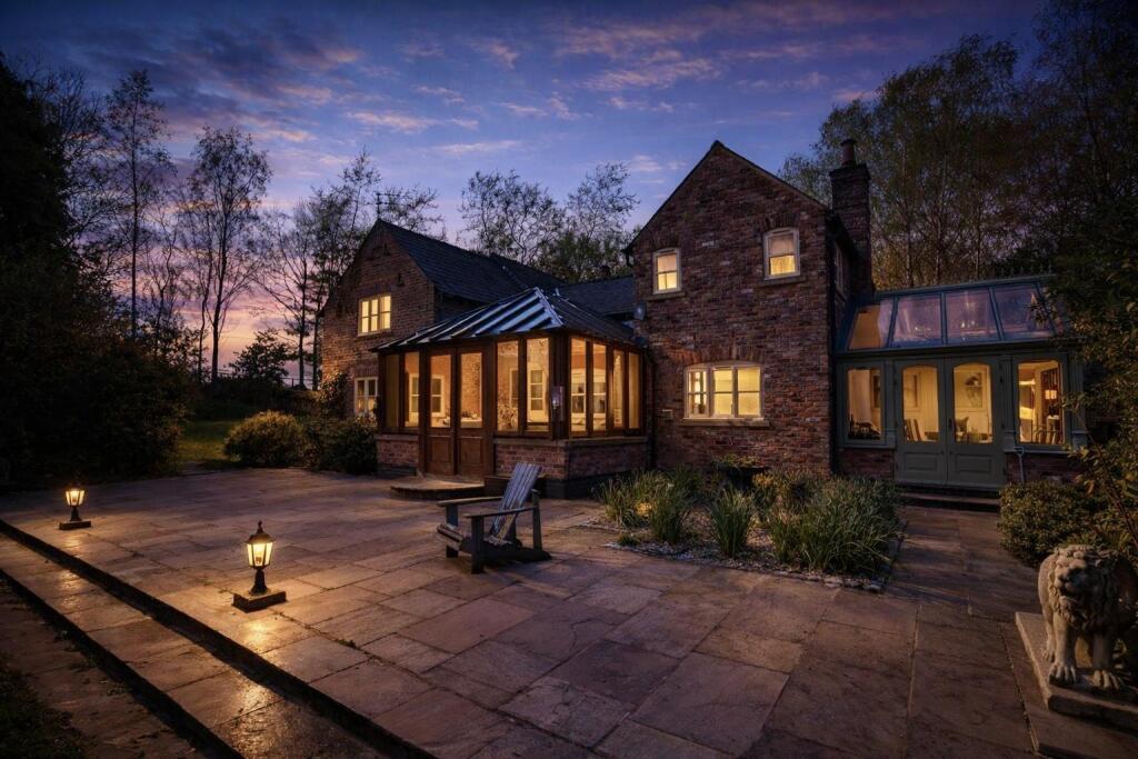
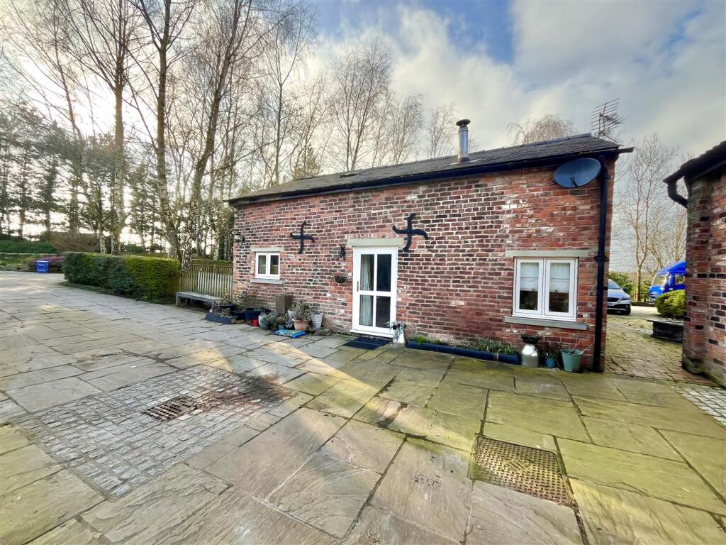
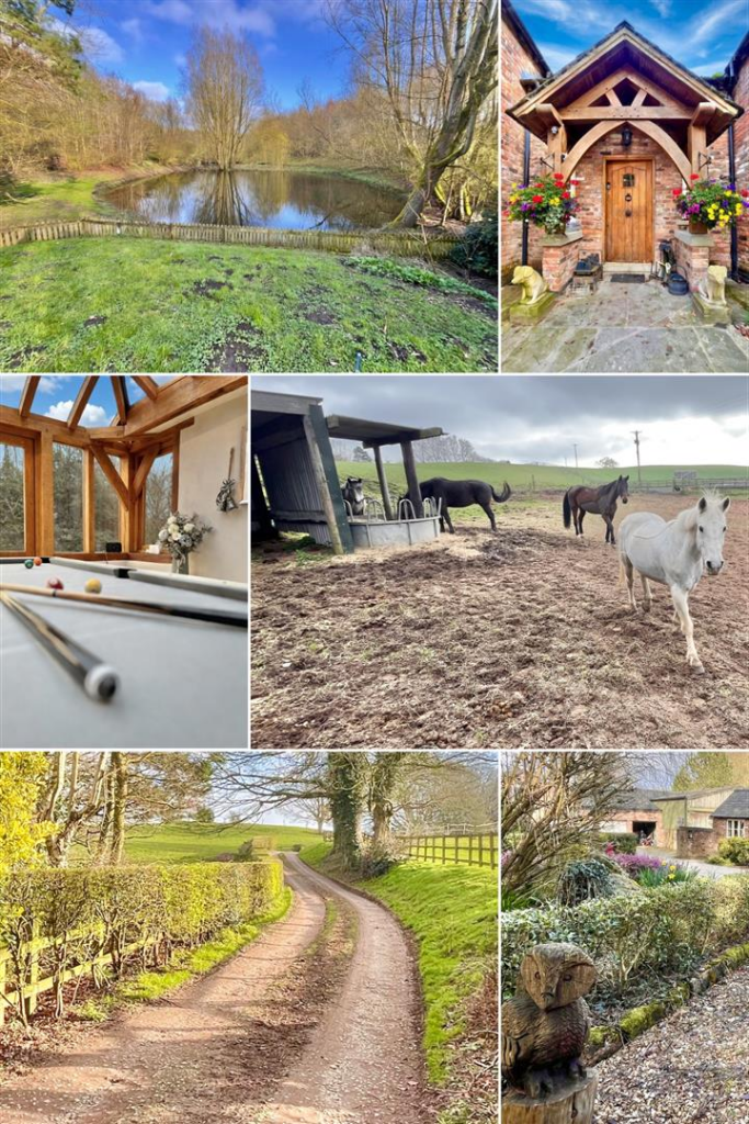
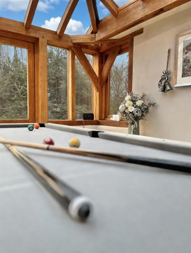
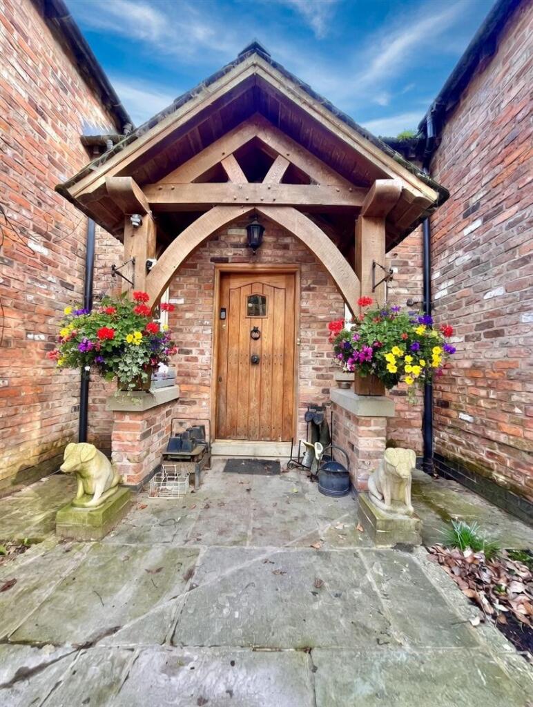
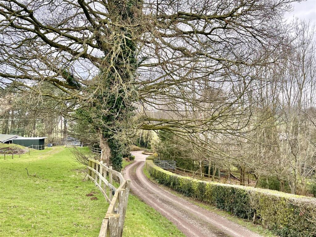
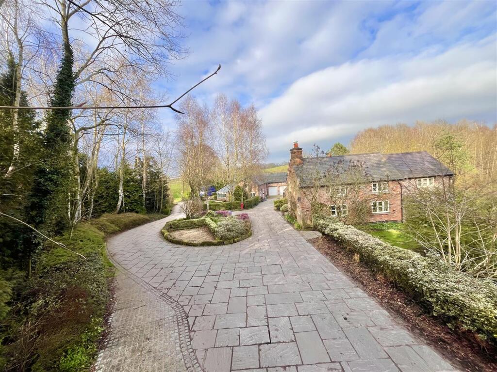
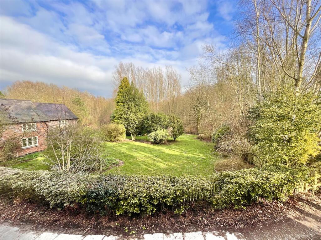
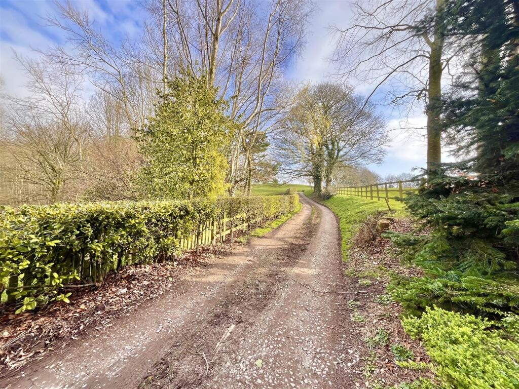
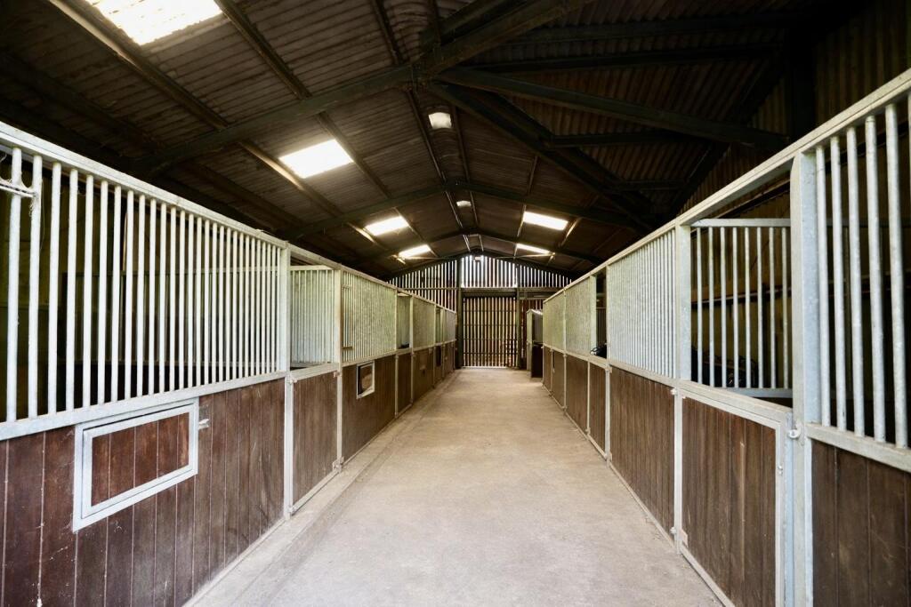
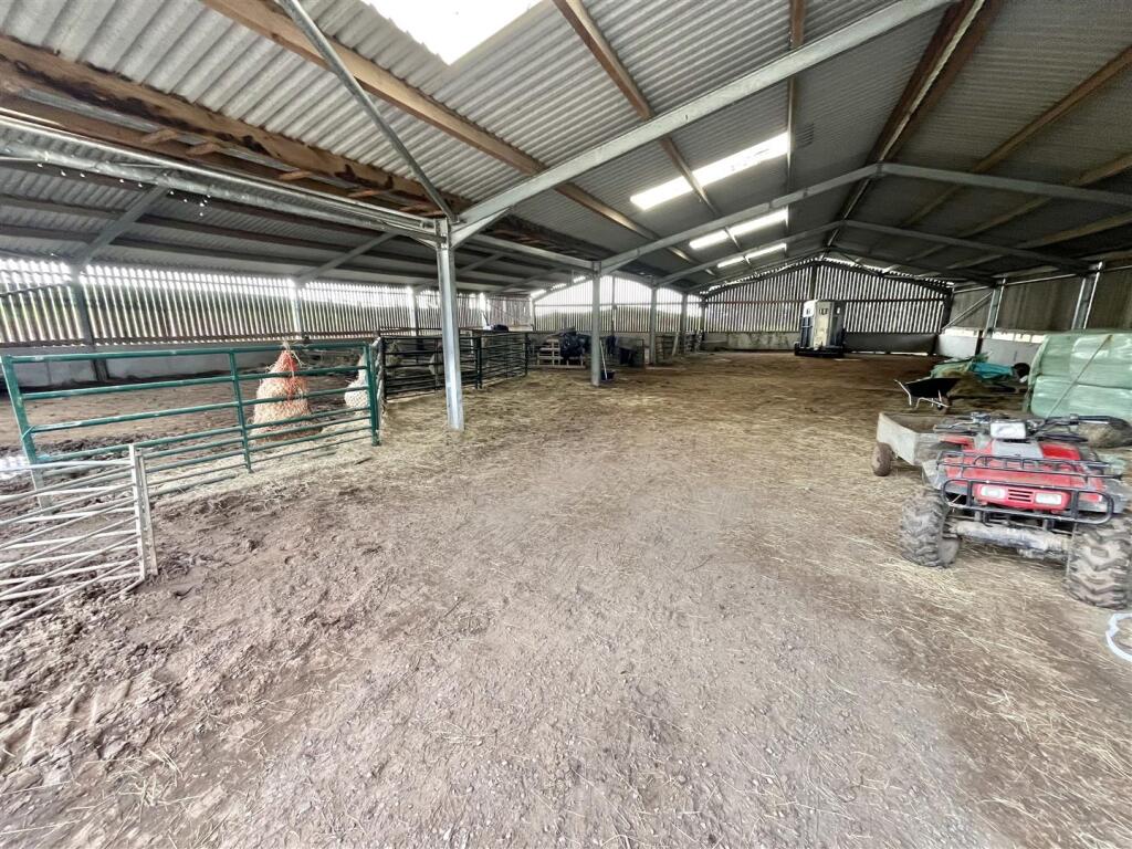
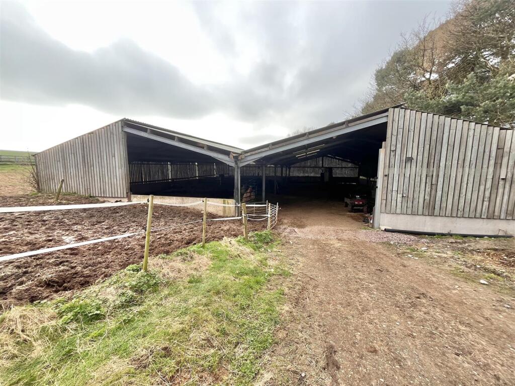
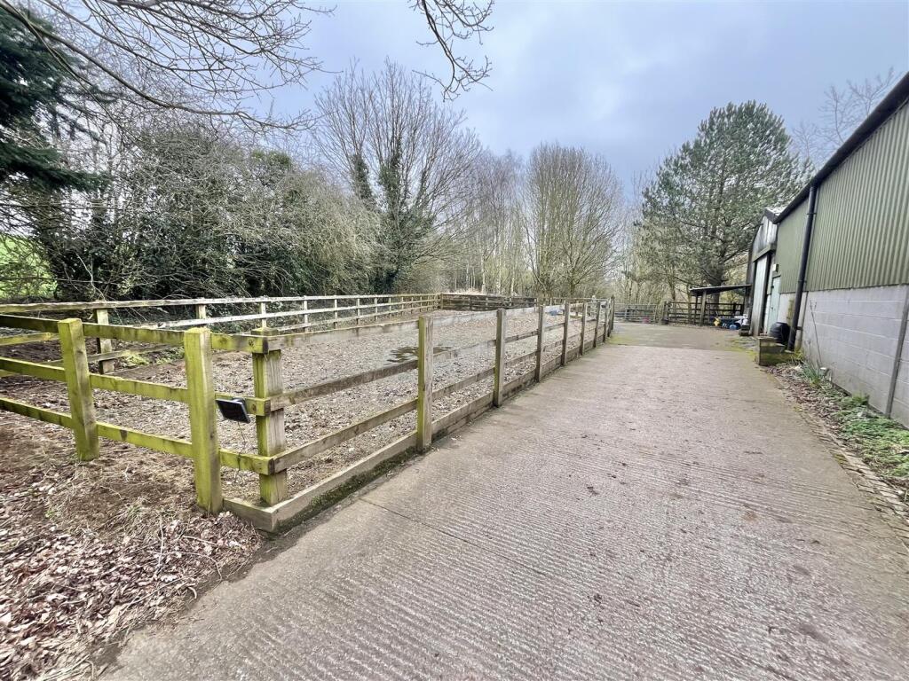
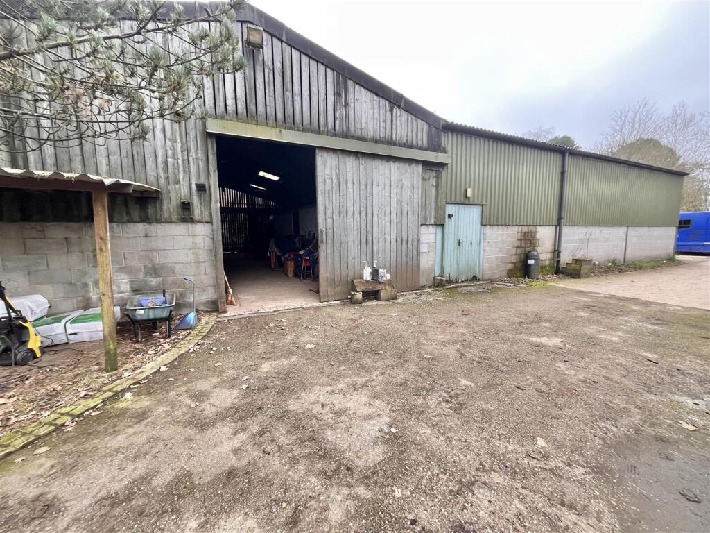
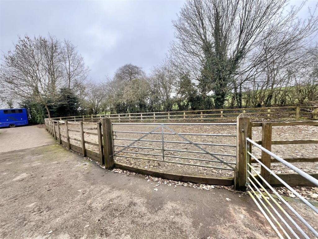
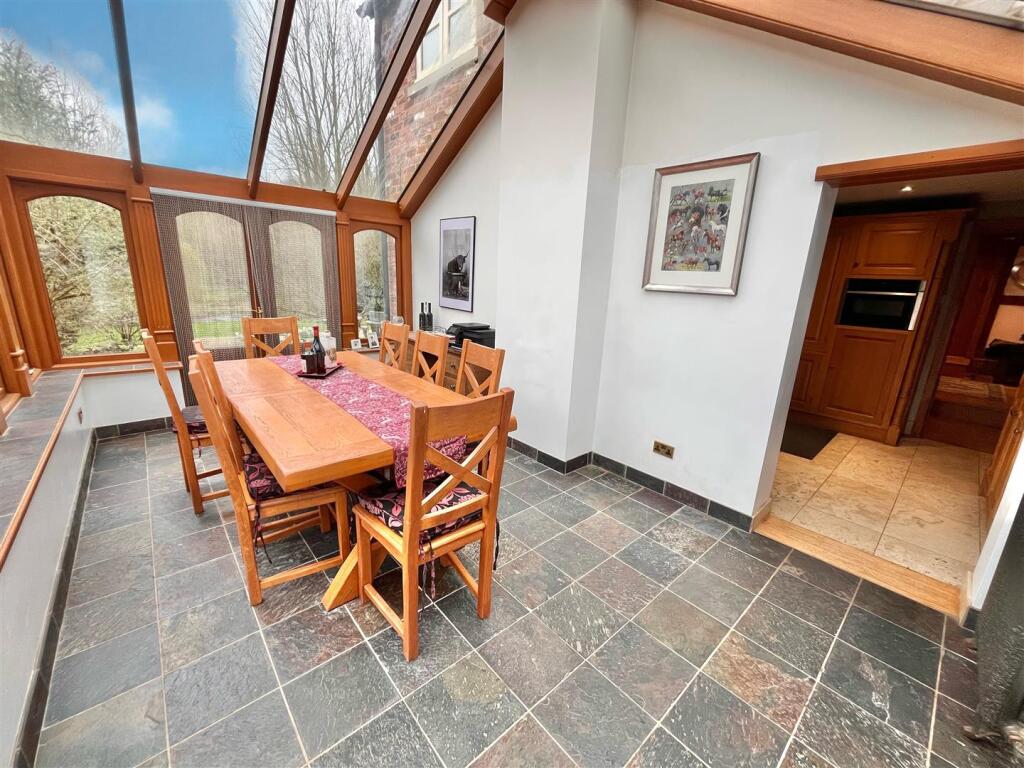
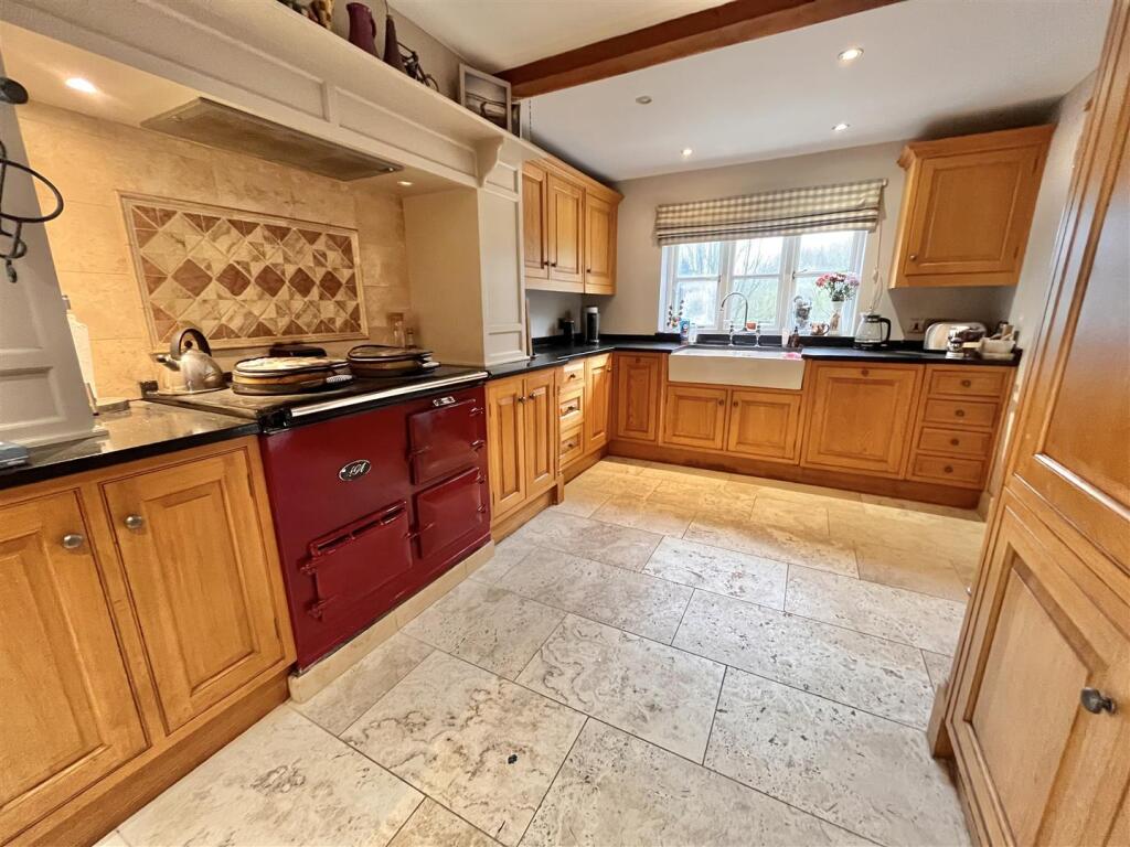
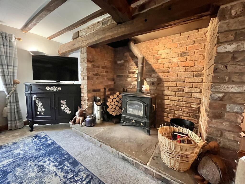
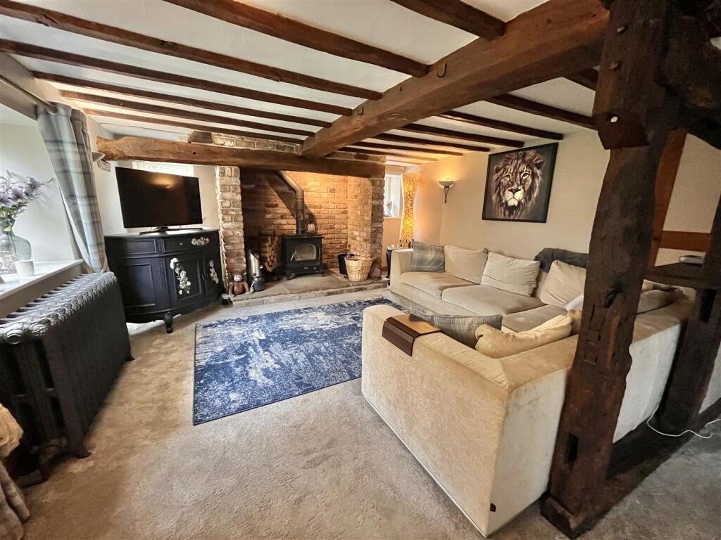
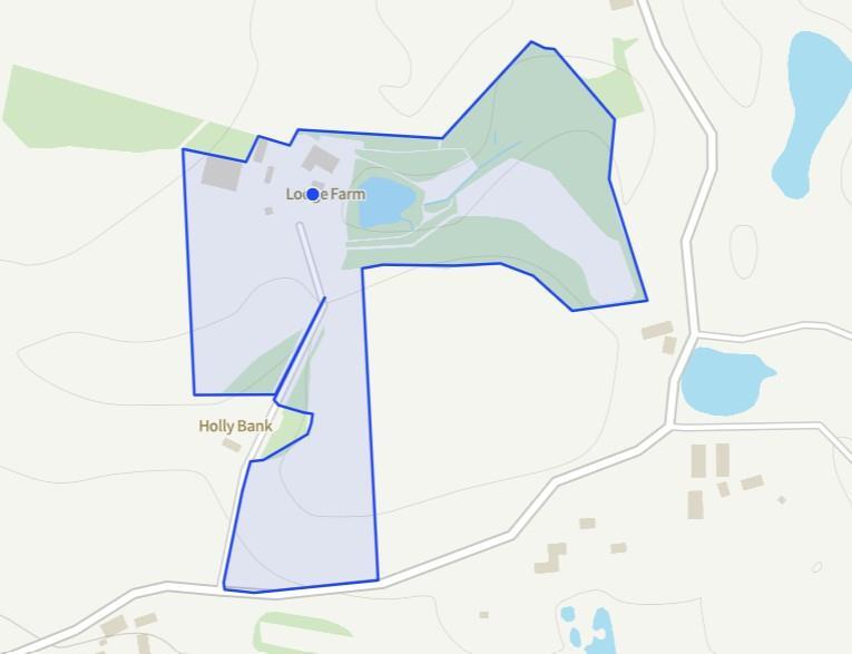
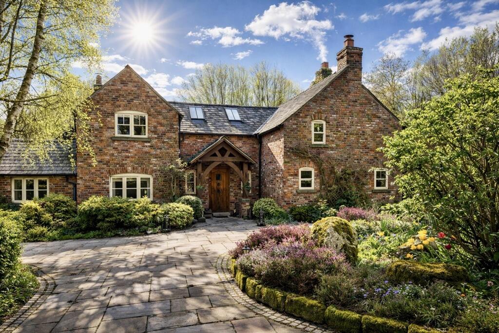
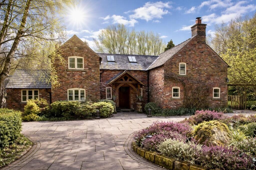
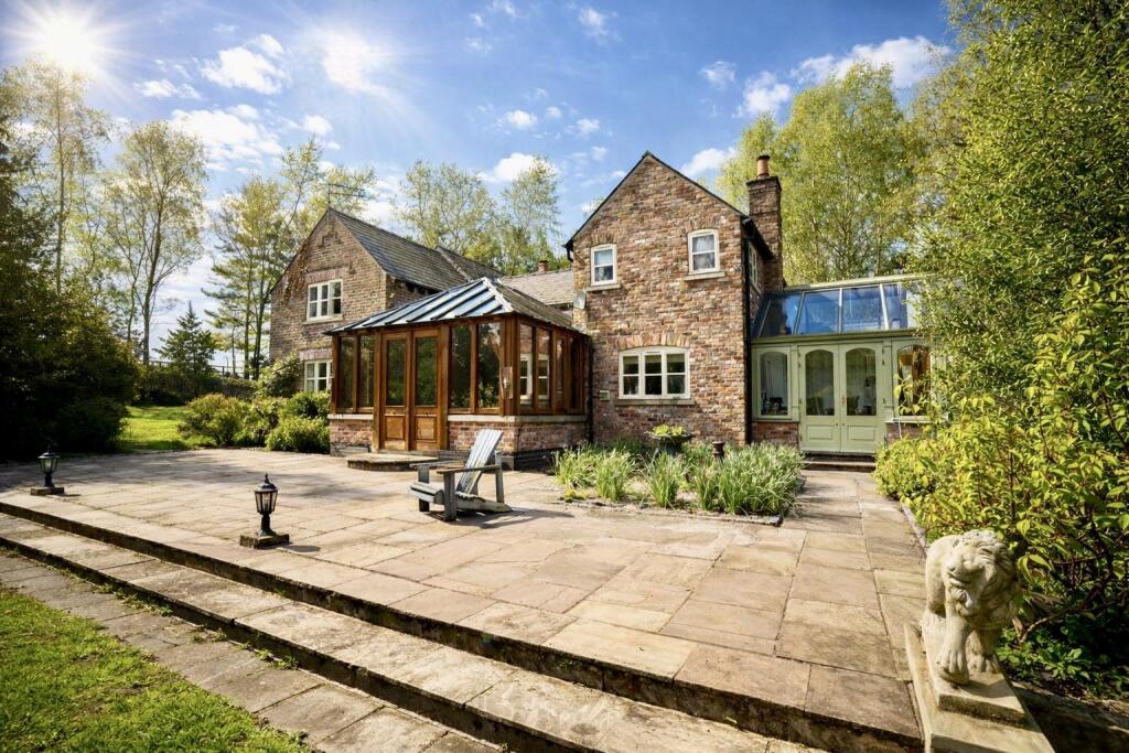
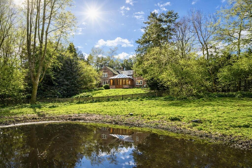
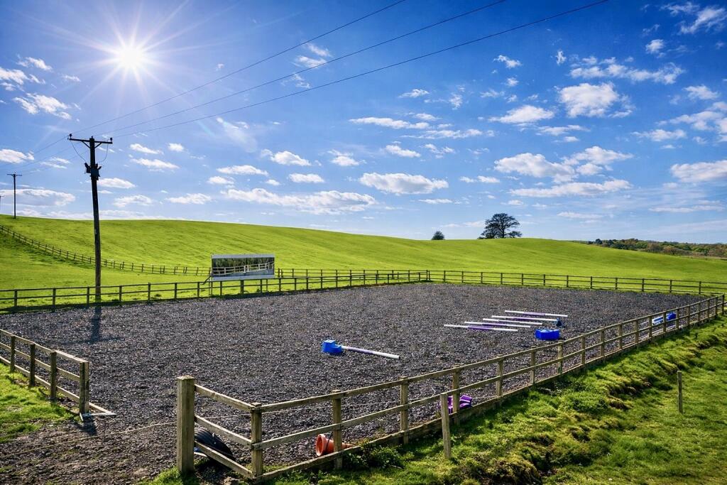
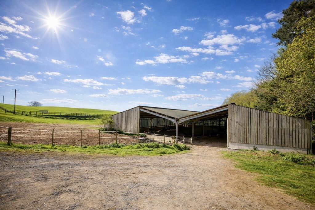
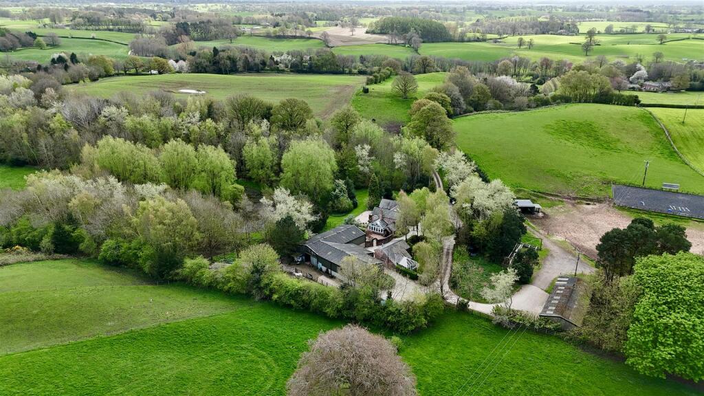
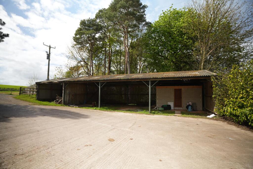
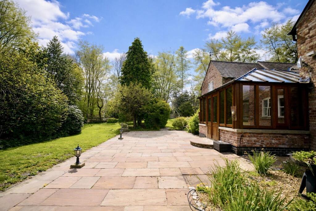
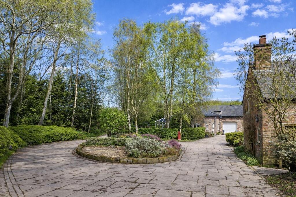
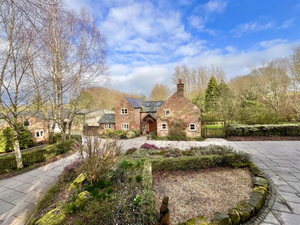
Photo 1 Photo 2 Photo 3 Photo 4 Photo 5 Photo 6 Photo 7 Photo 8 Photo 9 Photo 10 Photo 11 Photo 12 Photo 13 Photo 14 Photo 15 Photo 16 Photo 17 Photo 18 Photo 19 Photo 20 Photo 21 Photo 22 Photo 23 Photo 24 Photo 25 Photo 26 Photo 27 Photo 28 Photo 29 Photo 30 Photo 31 Photo 32 Photo 33 Photo 34 Photo 35 Photo 36 Photo 37 Photo 38 Photo 39 Photo 40 Photo 41 Photo 42 Photo 43 Photo 44 Photo 45 Photo 46
/ 46
Property details
Tenure
FREEHOLD
Local average
£564,345 (+288.9%)
Street crime
0 incidents within 1 mile (Aug 2026)
Key features
- Characterful Period Farm House
- Separate Detached Cottage
- Approximately 20 Acres
- Equestrian Facilities
- Outbuildings, Garages and Barns
- Secluded and Private
Additional details
- Electricity
- Mains supply
- Water
- Mains supply
- Sewerage
- Private supply
- Heating
- Oil
- Parking
- Yes
- Garden
- Yes
Description
Agents Notes - Hmrc Directive - To be able to sell or purchase a property in the United Kingdom all agents have a legal requirement to conduct Identity checks on all customers involved in the transaction to fulfil their obligations under Anti Money Laundering regulations. We outsource this check to a third party and a charge will apply. Ask the branch for further details
Listed by
Wilmslow
Jordan Fishwick
Reference: 174847781
EPC ratings on this postcode
We don't have a matched EPC for this property yet. Below are efficiency scores and details for other addresses on this postcode.
| Address | Current | Potential | Floor area | Age band | Type |
|---|---|---|---|---|---|
| 1 Henbury Smithy, Henbury, MACCLESFIELD | 25 | 96 | 82 m² | England and Wales: 1950-1966 | Detached |
| 1 Henbury Smithy, Henbury, MACCLESFIELD | 39 | 82 | 121 m² | England and Wales: before 1900 | Detached |
| 2 Henbury Smithy, Henbury, MACCLESFIELD | 19 | 33 | 115 m² | England and Wales: 1900-1929 | Detached |
| 2 Henbury Smithy, Henbury, MACCLESFIELD | 64 | 82 | 205 m² | England and Wales: before 1900 | Detached |
| 2 Henbury Smithy, Henbury, MACCLESFIELD | 39 | 88 | 120 m² | England and Wales: before 1900 | Detached |
| Lingards Farm, Henbury, MACCLESFIELD | 28 | 97 | 131 m² | England and Wales: before 1900 | Detached |
| Lingards Farm, Henbury, MACCLESFIELD | 25 | 97 | 142 m² | England and Wales: before 1900 | Detached |
| Lodge Farm, Henbury, MACCLESFIELD | 47 | 72 | 216 m² | England and Wales: before 1900 | Detached |
| Sandbach Farm, Henbury, MACCLESFIELD | 69 | 70 | 1,274 m² | — | Detached |
| Sandbach Farm, Henbury, MACCLESFIELD | 27 | 44 | — | England and Wales: before 1900 | — |
Flood risk
Zone: 1
Risk: Low
Not in Flood Risk Area (no data)
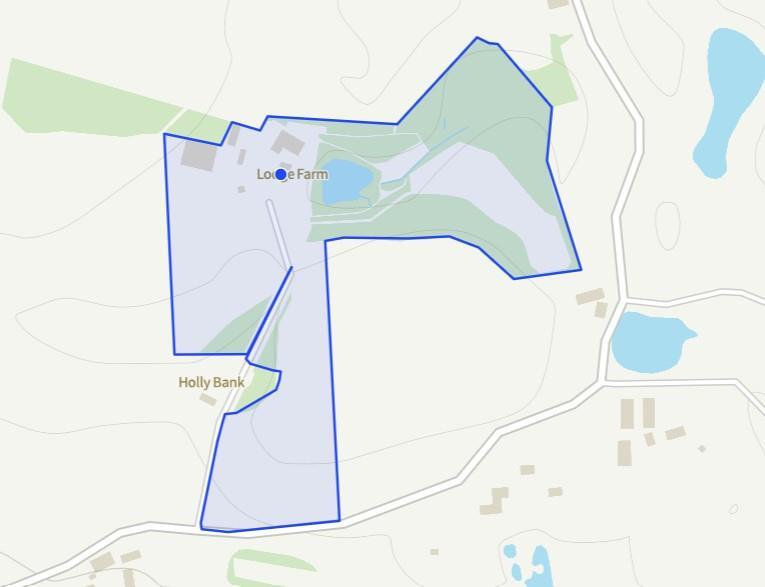
Registered land (INSPIRE)
This location is outside the imported HM Land Registry INSPIRE registered freehold polygons.
Source: HM Land Registry INSPIRE Index Polygons.
Floorplans
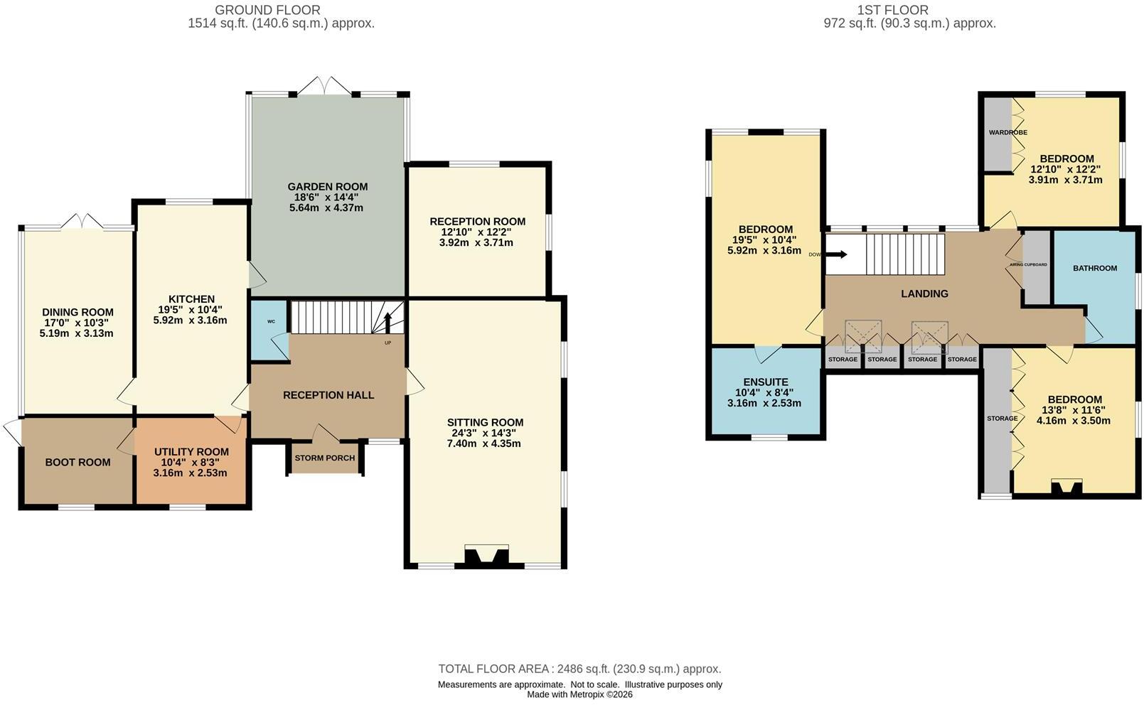
Floorplan 1
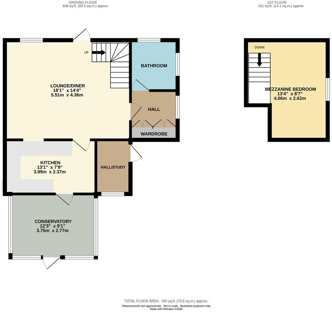
Floorplan 2
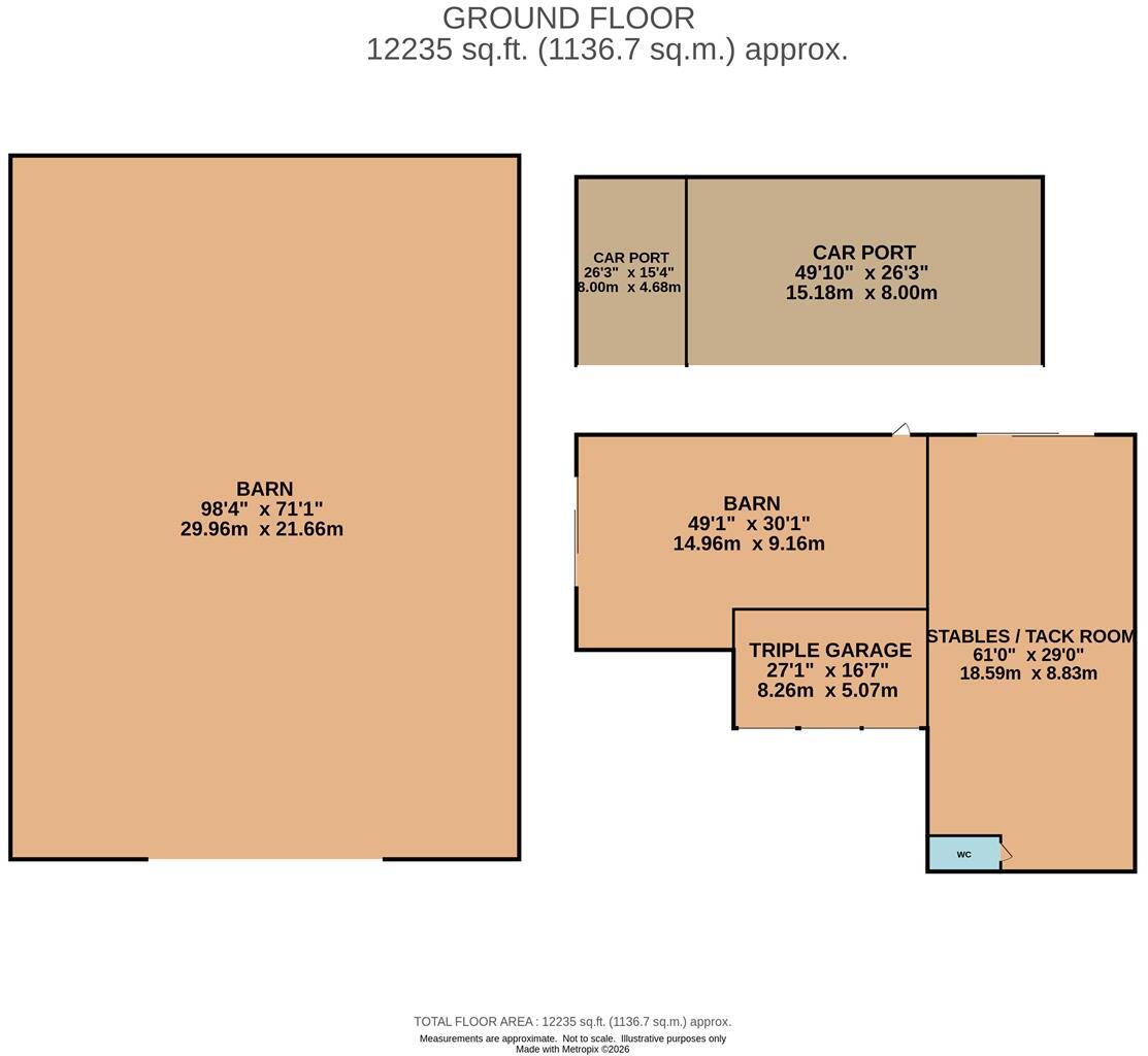
Floorplan 3
Floorplan 4
EPC Graphs
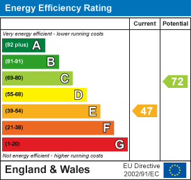
EE Rating
Price history
| Event | Date | Price | % change |
|---|---|---|---|
| Listed for sale | — | £2,195,000 | — |
Source: HM Land Registry Price Paid Data. Crown copyright.
Sold Comparables
Sold comparables data is not available for this property.
Capital growth trend
Land Registry outcode average: last 12 months vs 5y and 10y ago (from sold prices).
House Price Index (HM Land Registry — official index, not sold-price averages): Cheshire East. Series: Detached. As of August 2026.
Rental Range
Estimated market rent for Cheshire East. Low = conservative, Realistic = average, Optimistic = best case.
Based on Local Authority from postcode lookup → Cheshire East.
LHA (30th percentile) floor for East Cheshire: £1,745/mo (Apr 2025 – Mar 2026)
Location
Address
Fanshawe Lane
Nearby
Nearest stations, universities and amenities (distance from property).
| Type | Name | Distance |
|---|---|---|
| Bus stop | Henbury, Chelford Road / Whirley Lane | 0.8 miles |
| Shop | Gulf Store | 1.2 miles |
| Shop | Flora Flower & Gift Centre | 1.3 miles |
| Hospital | Rosemount Resource Centre | 2.7 miles |
| Hospital | Macclesfield District General Hospital | 2.9 miles |
| Train station | Chelford | 3.3 miles |
| Train station | Macclesfield | 3.7 miles |
Street-level crime
| Category | Count |
|---|---|
| Total incidents | 0 |
Within 1 mile during Aug 2026. Source: data.police.uk (England & Wales).
Schools nearby
Nearest open schools with Ofsted ratings (England). Closed schools are not shown. Data from Get Information about Schools and Ofsted.
| Name | Type | Distance | Ofsted |
|---|---|---|---|
| Eden School | Other | 2.1 miles | Good — 10 Mar 2024 |
| Marton and District CofE Aided Primary School | Primary | 2.2 miles | Good — 18 Jul 2017 |
| Gawsworth Primary School | Primary | 2.2 miles | Good — 27 Feb 2012 |
| Whirley Primary School | Primary | 2.3 miles | Good — 14 Apr 2011 |
| Broken Cross Primary Academy and Nursery | Primary | 2.5 miles | Good — 17 Jun 2019 |
Rental Comparables
Residential lets from OpenRent and Rightmove for the area (same bedroom count). Use to validate rent estimates. Student lets are excluded.
| Title | Rent | Beds | Distance | As seen on |
|---|---|---|---|---|
| Siddington, Macclesfield, Cheshire | £2,750/mo | 4 | 2.16 miles | Rightmove |
Average rent: £2,750/mo (1 listing)
Rent-driven metrics
Based on OpenRent comparables.
- Rent ratio — Monthly rent ÷ purchase price (1% rule). 1%+ = strong, 0.8–1% = okay, <0.8% = weak for cashflow.
- Max investor price — Rent ÷ 0.8%; the price at which rent would be 0.8% of price (Stoke-style target).
- Target investor price — Rent ÷ 1%; the price at which rent would be 1% of price (strong cashflow band).
- Gross yield — Annual rent as % of purchase price (no costs).
- Cost-to-rent — Price ÷ annual rent (from OpenRent comparables). Under 14× = strong, 14–16× = acceptable, 17×+ = compressed.
- Cashflow — Rent minus mortgage, 10% maintenance, £25/mo compliance. Assumes 75% LTV, 3.95% APR (5yr fixed), 25yr term.
- ROI — Annual profit ÷ cash in (deposit + 4% purchase costs).
Enter House Number
Enter the house number to help us retrieve more accurate pricing history and property data.
Please log in to submit or correct the house number for this listing.
Log in to continue