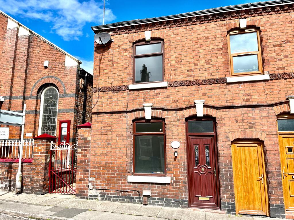
18 VICTORIA STREET
NEWCASTLE, CHESTERTON, STAFFORDSHIRE ST5 7EW
£700 pcm
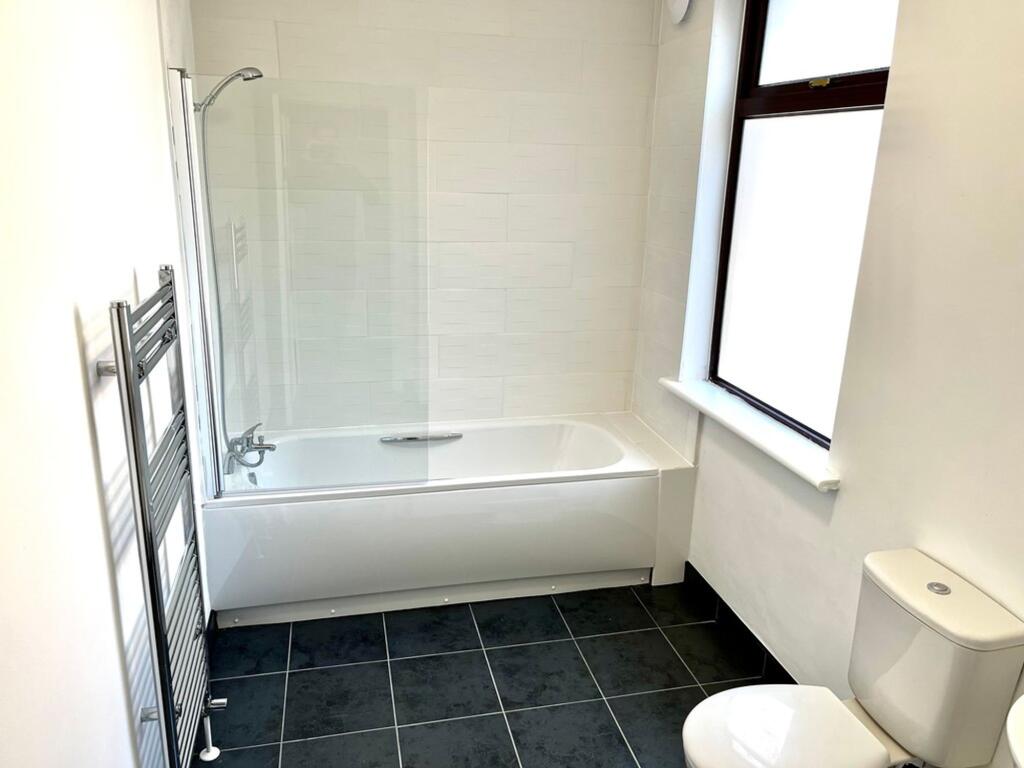
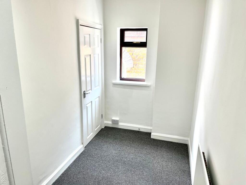
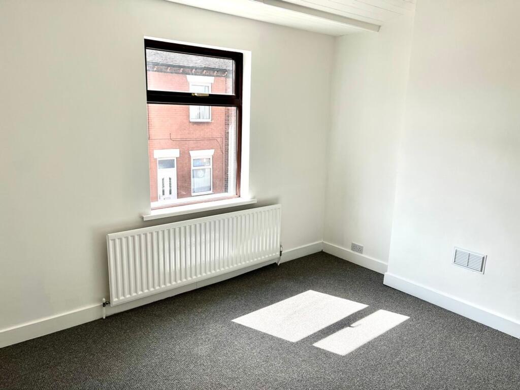
Property details
Floor area
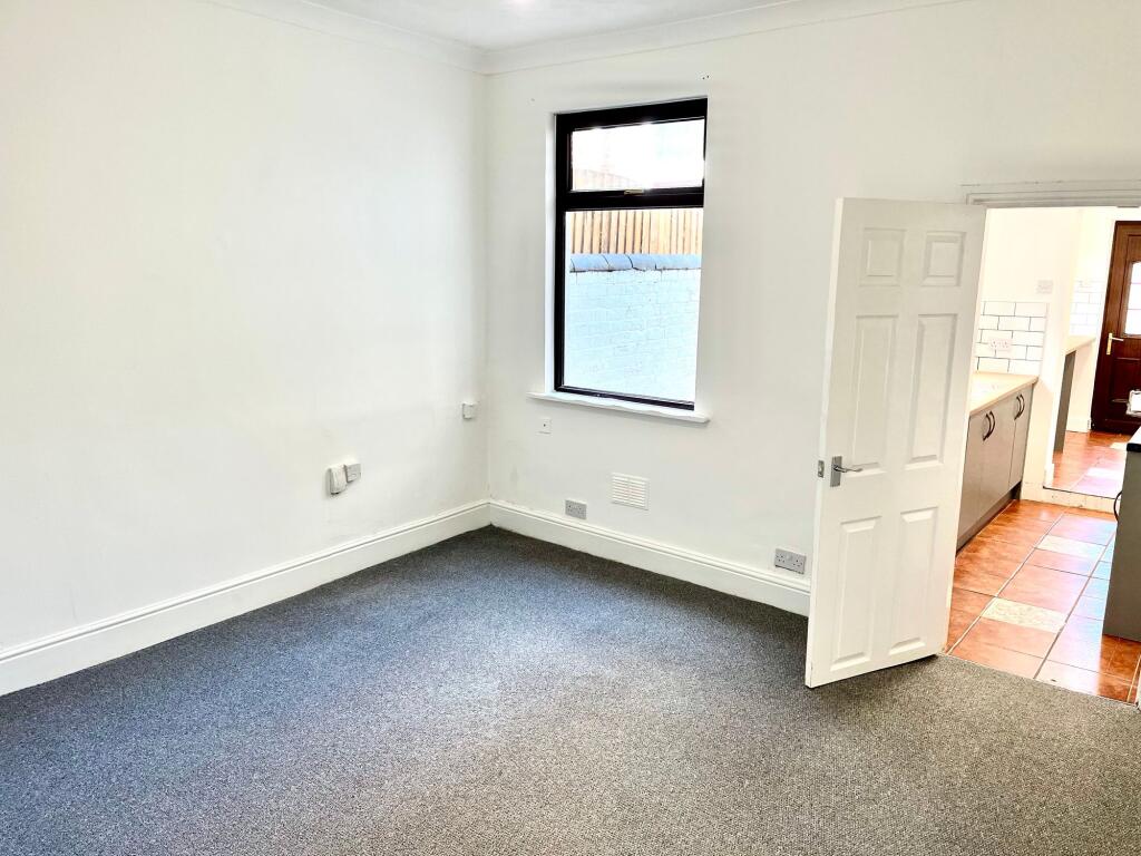
80 m²
Council tax band
A
EPC rating
D
Year built
England and Wales: 1900-1929
Deprivation
Decile 1 (2,818 of 33,755)
Street crime
137 incidents within 1 mile (Apr 2026)
Key features
- NO DEPOSIT OPTION AVAILABLE
- located within the well-established area of Chesterton
- Easy reach of local shops, schools, amenities, and transport connections
Additional details
- Restrictions
- No
- Rights of way
- No
- Flooded in last 5 years
- No
- Flood defences
- No
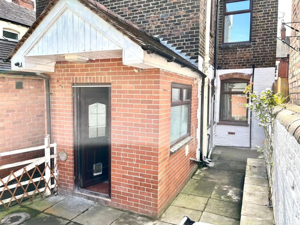
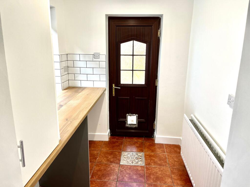
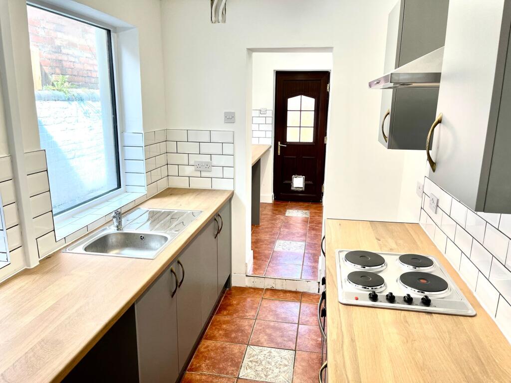
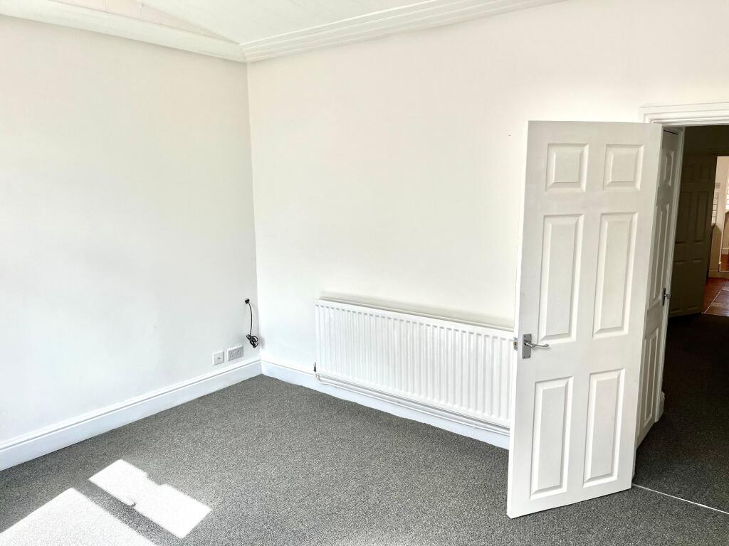
Description
Holding Deposit - £161.53 | Rent - £700.00pcm | Deposit - £807.69 or No Deposit Option Available | EPC Rating D | Council Tax Band A | Available 10th July 2026
EPC Rating: D
Listed by
Nottingham
ForTheLandlords.com Ltd
Reference: 88840311
EPC Rating & Upgrade Cost
Current rating: D
Potential rating: C
Inspection date: 30/03/2021
Expiry date: 29/03/2031
Current heating cost: £860/year
Potential heating cost: £616/year
Est. upgrade cost to C: £23,500
Recommendations
- 50 mm internal or external wall insulation (£4,000 - £14,000)
- Floor insulation (solid floor) (£4,000 - £6,000)
- Solar water heating (£4,000 - £6,000)
- Solar photovoltaic panels, 2.5 kWp (£3,500 - £5,500)
Flood risk
Zone: 1
Risk: Low
Job (default Low)
Company ownership
Registered legal owner is a company.
Rental Range
Estimated market rent for Newcastle-under-Lyme. Low = conservative, Realistic = average, Optimistic = best case.
Based on Local Authority from postcode lookup → Newcastle-under-Lyme.
LHA (30th percentile) floor for Staffordshire North: £593/mo (Apr 2025 – Mar 2026)
Location
Nearby
Nearest stations, universities and amenities (distance from property).
| Type | Name | Distance |
|---|---|---|
| Bus stop | Edensor Street | 0.1 miles |
| Shop | Longstaff Cycles | 0.2 miles |
| Shop | Screwfix | 0.4 miles |
| Train station | Apedale Road | 0.7 miles |
| Train station | Silverdale | 0.8 miles |
| Hospital | Haywood Hospital Walk-in Centre | 2.7 miles |
| University | Keele University | 2.9 miles |
| Hospital | Royal Stoke University Hospital | 3.1 miles |
| University | University of Buckingham Crewe Campus | 7.9 miles |
Street-level crime
| Category | Count |
|---|---|
| Violence and sexual offences | 56 |
| Anti-social behaviour | 21 |
| Criminal damage and arson | 17 |
| Public order | 12 |
| Shoplifting | 8 |
| Other crime | 7 |
| Other theft | 6 |
| Burglary | 4 |
| Vehicle crime | 3 |
| Drugs | 2 |
| Bicycle theft | 1 |
| Total incidents | 137 |
Within 1 mile during Apr 2026. Source: data.police.uk (England & Wales).
Schools nearby
Nearest open schools with Ofsted ratings (England). Closed schools are not shown. Data from Get Information about Schools and Ofsted.
| Name | Type | Distance | Ofsted |
|---|---|---|---|
| Chesterton Community Sports College | Secondary | 0.2 miles | Good — 13 Nov 2022 |
| Chesterton Primary School | Primary | 0.2 miles | Good — 8 Jul 2021 |
| Crackley Bank Primary School | Primary | 0.4 miles | Good — 21 May 2023 |
| Churchfields Primary School | Primary | 0.4 miles | Outstanding — 15 Sep 2015 |
| Sun Academy Bradwell | Primary | 0.6 miles | Good — 11 Sep 2018 |
Rental Comparables
Residential lets from OpenRent and Rightmove for the area (same bedroom count). Use to validate rent estimates. Student lets are excluded.
Average rent: £947/mo (36 listings)