62
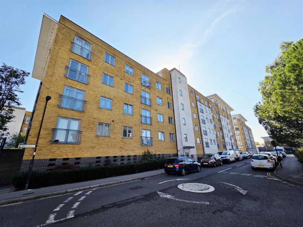
HERTFORD HOUSE, TAYWOOD ROAD, NORTHOLT, GREATER LONDON UB5 6GD
£1,350 pcm
Property details
Floor area
47 m²
Council tax band
C
Deprivation
Decile 2 (6,361 of 33,755)
Street crime
484 incidents within 1 mile (Apr 2026)
Key features
- Council Tax Band: C - £1814 per year
- Household Income Required: 38k per year
- Gas Central Heating
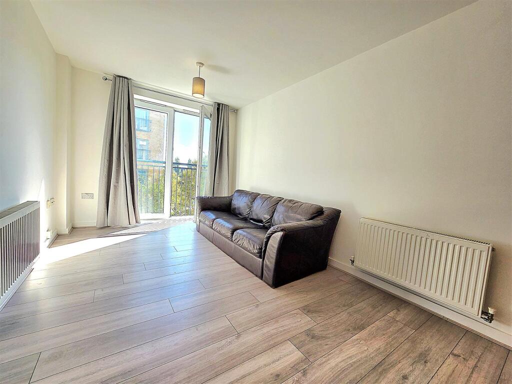
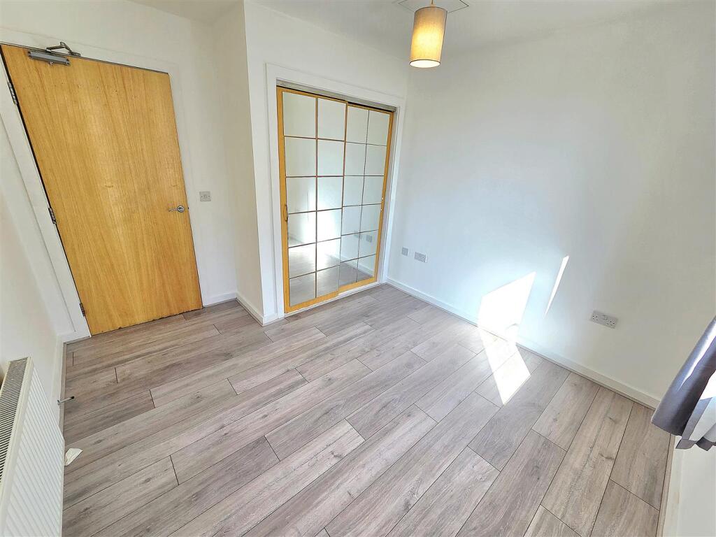
- Double Glazed Windows
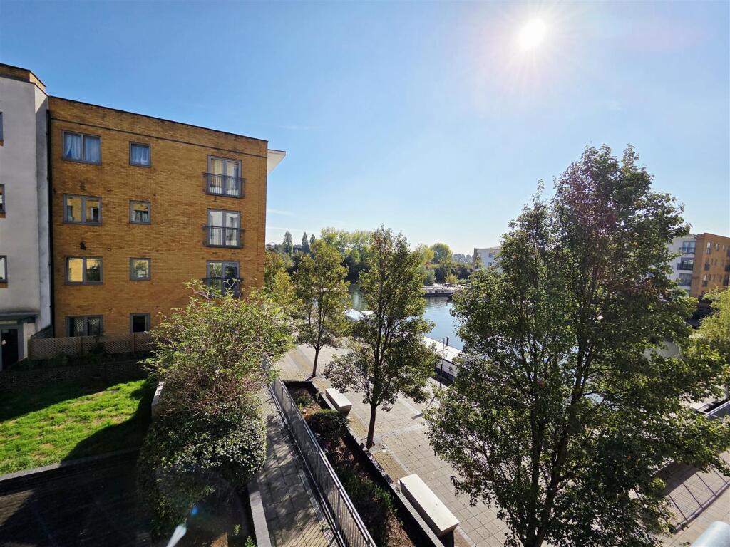
- Juliet Balcony
- Canal Views
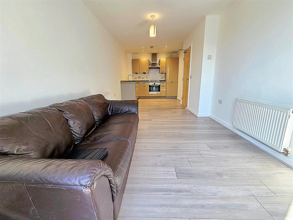
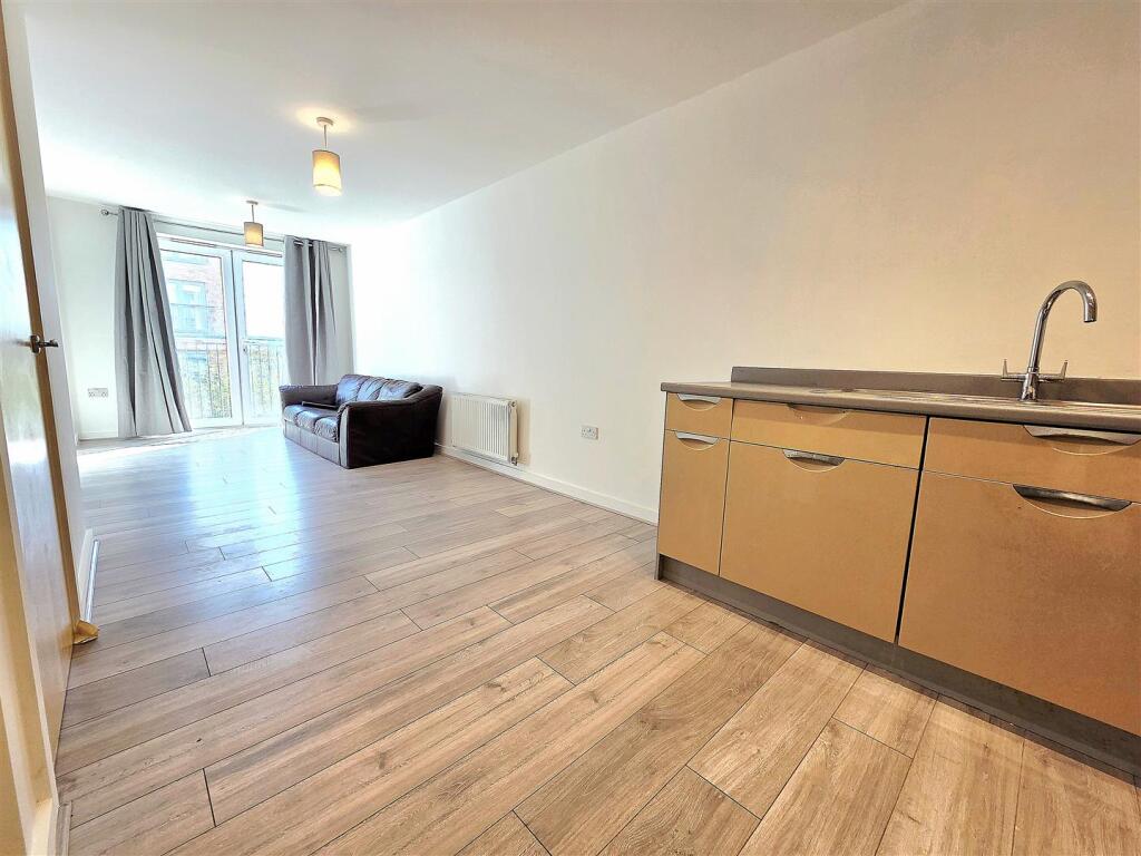
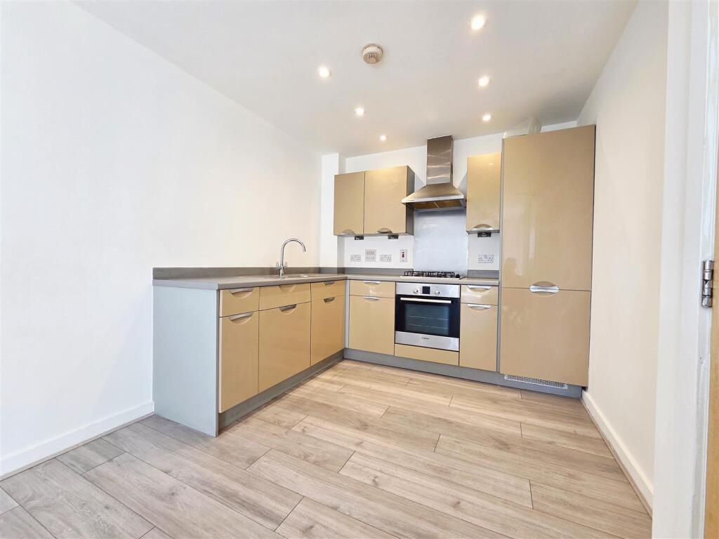
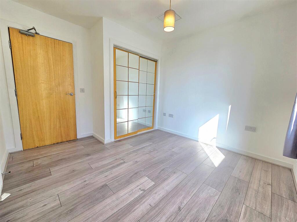
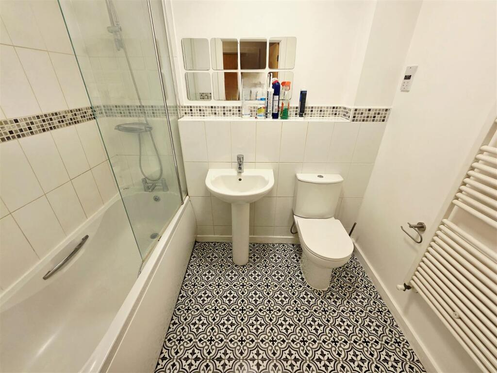
Description
The property is well presented throughout and compriss a spacious lounge with juliet balcony offering great view of the canal and
Listed by
Northolt
Brian Cox
Reference: 167687234
Flood risk
Zone: 1
Risk: Low
Job (default Low)
Rental Range
Estimated market rent for Ealing. Low = conservative, Realistic = average, Optimistic = best case.
Based on Local Authority from postcode lookup → Ealing.
LHA (30th percentile) floor for South West Herts: £947/mo (Apr 2025 – Mar 2026)
Location
Address
Taywood Road
Nearby
Nearest stations, universities and amenities (distance from property).
| Type | Name | Distance |
|---|---|---|
| Shop | Costcutter | 0.1 miles |
| Bus stop | Aspen Lane | 0.1 miles |
| Bus stop | Sentinel Close | 0.1 miles |
| Shop | Nova Electrical Trade Discount Centre | 0.2 miles |
| Train station | Northolt | 1.3 miles |
| Train station | Southall | 1.6 miles |
| University | University of West London | 3.2 miles |
| University | University of West London - Hellenic Institute Of Maritime Studies | 3.2 miles |
| Hospital | Hounslow Medical Centre | 4.2 miles |
| Hospital | Watford General Hospital | 8.3 miles |
Street-level crime
| Category | Count |
|---|---|
| Violence and sexual offences | 136 |
| Anti-social behaviour | 107 |
| Public order | 35 |
| Shoplifting | 34 |
| Criminal damage and arson | 31 |
| Robbery | 29 |
| Vehicle crime | 27 |
| Drugs | 24 |
| Other theft | 22 |
| Theft from the person | 16 |
| Burglary | 12 |
| Bicycle theft | 5 |
| Possession of weapons | 4 |
| Other crime | 2 |
| Total incidents | 484 |
Within 1 mile during Apr 2026. Source: data.police.uk (England & Wales).
Schools nearby
Nearest open schools with Ofsted ratings (England). Closed schools are not shown. Data from Get Information about Schools and Ofsted.
| Name | Type | Distance | Ofsted |
|---|---|---|---|
| Grangewood School | Other | 0.2 miles | Good — 14 May 2020 |
| Greenford High School | Secondary | 0.4 miles | Good — 30 Mar 2022 |
| Durdans Park Primary School | Primary | 0.5 miles | Good — 30 Jan 2014 |
| Lady Margaret Primary School | Primary | 0.5 miles | Good — 31 Mar 2011 |
| Gifford Primary School | Primary | 0.5 miles | Outstanding — 27 Jun 2024 |
Rental Comparables
Residential lets from OpenRent and Rightmove for the area (same bedroom count). Use to validate rent estimates. Student lets are excluded.
| Title | Rent | Beds | Distance | As seen on |
|---|---|---|---|---|
| 1 Bed Flat, Concord Close, UB5 | £1,300/mo | 1 | 0.43 miles | OpenRent |
| 1 Bed Semi-Detached House, Ascot Gardens, UB1 | £850/mo | 1 | 0.47 miles | OpenRent |
| Studio Flat, Maple Road, UB4 | £1,150/mo | 1 | 0.58 miles | OpenRent |
Average rent: £1,100/mo (3 listings)