Flat 44
DAPPLE COURT, 300, CROXLEY VIEW, WATFORD, HERTFORDSHIRE WD18 6AH
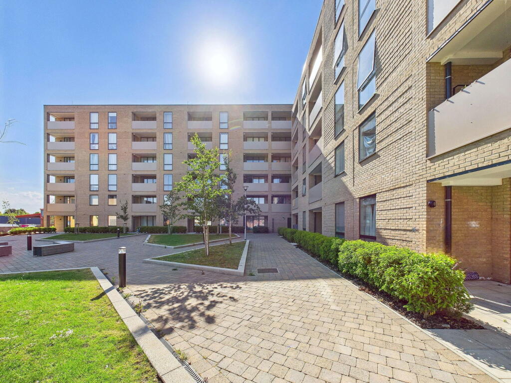
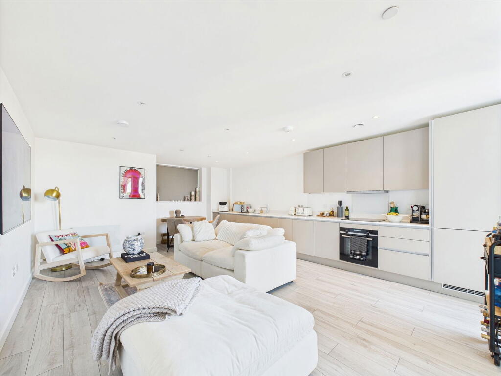
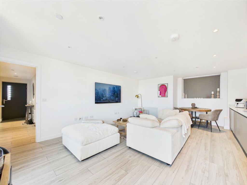
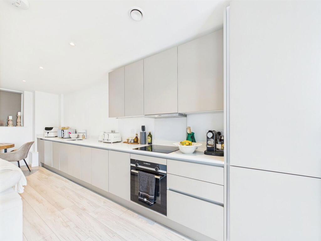
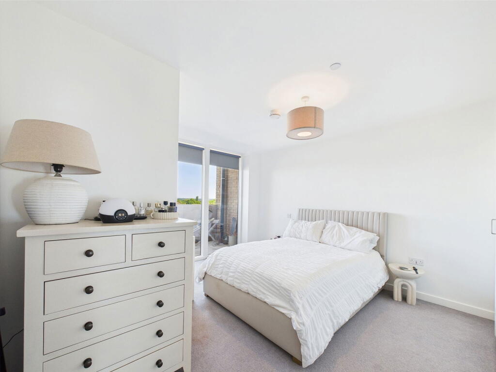
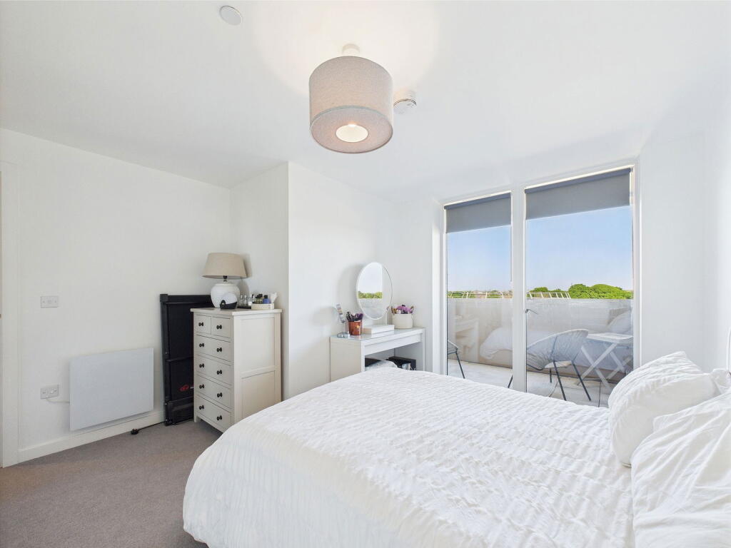
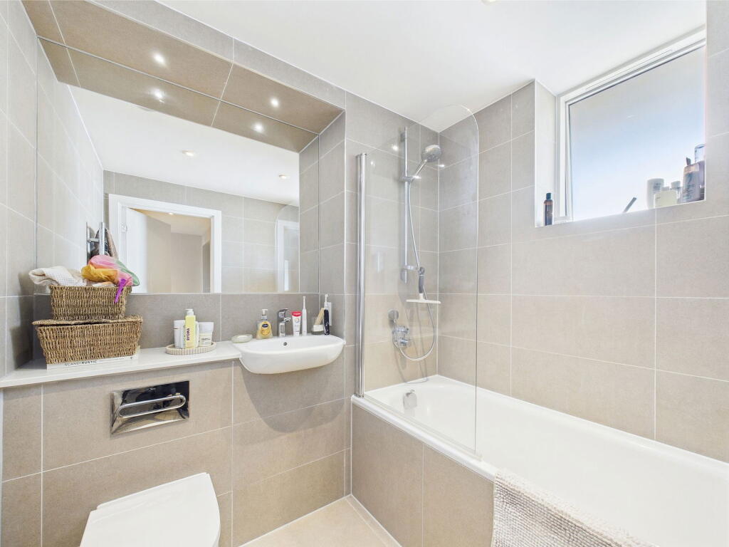
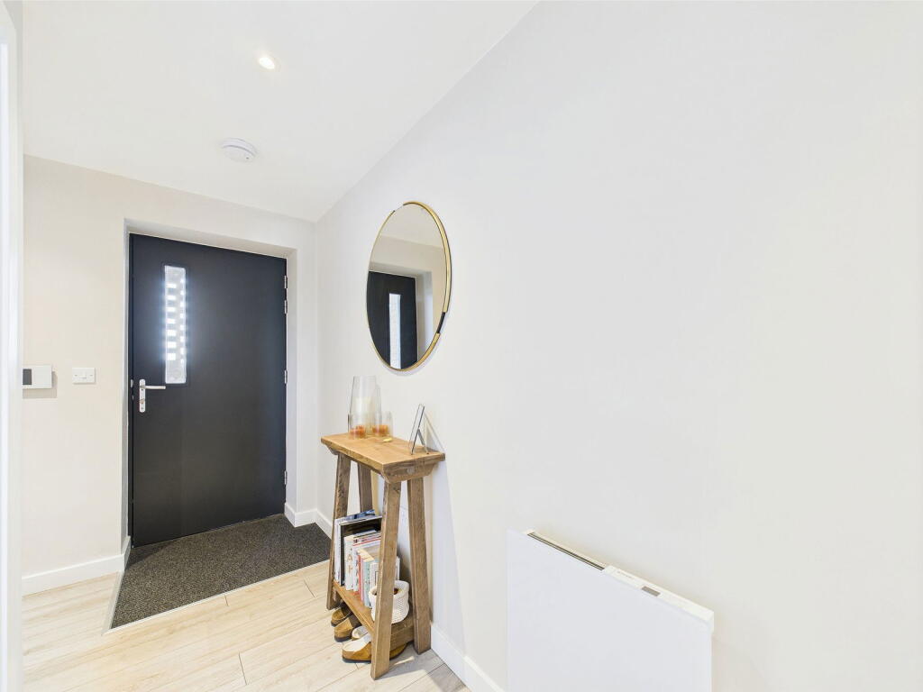
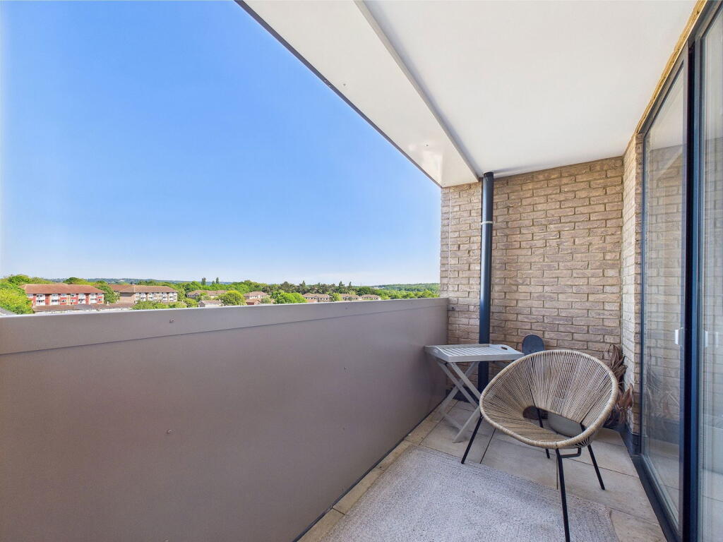
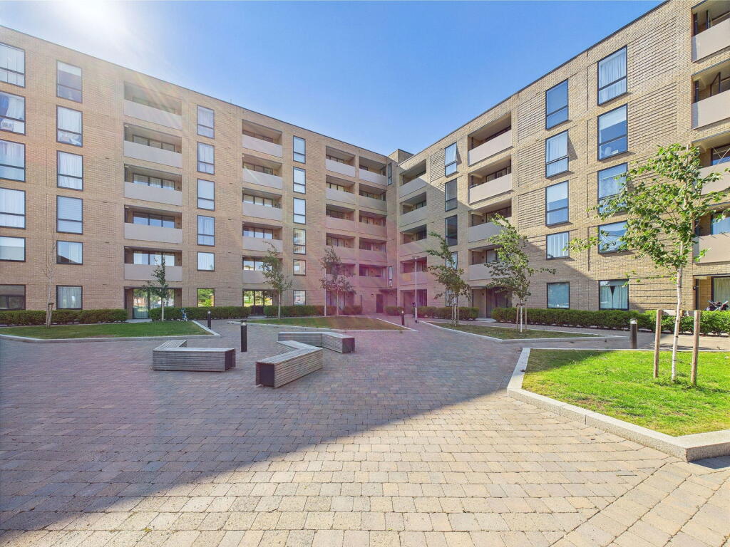
Photo 1 Photo 2 Photo 3 Photo 4 Photo 5 Photo 6 Photo 7 Photo 8 Photo 9 Photo 10
/ 10
Property details
Floor area
60 m²
Last sold
£295,000 Sep 2025
Price per m²
£5,000/m²
Local average
£298,186 (+0.6%)
Street crime
181 incidents within 1 mile (Apr 2026)
Key features
- One bedroom apartment
- Fifth floor
- Balcony
- Lift access
- 987 year lease
- One allocated parking space
Additional details
- Electricity
- Mains supply
- Broadband
- Cable
- Water
- Mains supply
- Sewerage
- Mains supply
- Heating
- Electric
- Parking
- Allocated
Description
Listed by
Hertfordshire
Sewell & Gardner
Reference: 161990003
EPC ratings on this postcode
We don't have a matched EPC for this property yet. Below are efficiency scores and details for other addresses on this postcode.
| Address | Current | Potential | Floor area | Age band | Type |
|---|---|---|---|---|---|
| Flat 44, Dapple Court, 300 Croxley View, WATFORD | 72 | 72 | 60 m² | — | Flat |
Flood risk
Zone: 1
Risk: Low
Job (default Low)
Floorplans
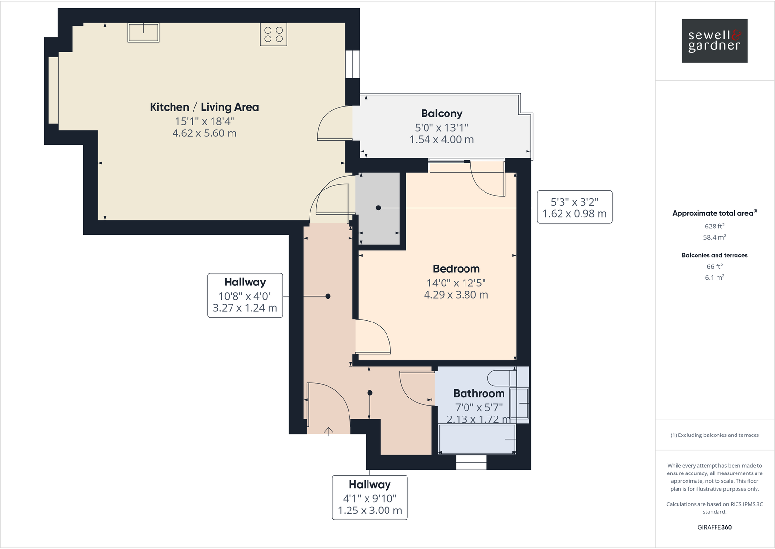
Floorplan 1
EPC Graphs
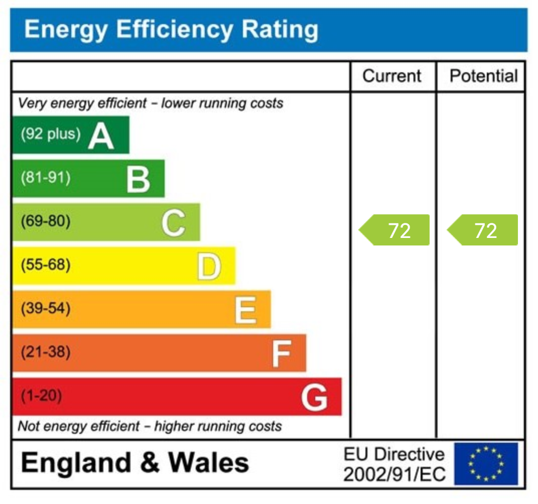
EPC 1
Price history
4% since 2022
| Event | Date | Price | % change |
|---|---|---|---|
| Sold | 09/09/2025 (9 months ago) | £295,000 | +3.5% |
| Sold | 14/12/2022 (3 years ago) | £285,000 | — |
Source: HM Land Registry Price Paid Data. Crown copyright.
Sold Comparables
Sold comparables data is not available for this property.
Capital growth trend
Land Registry outcode average: last 12 months vs 5y and 10y ago (from sold prices).
House Price Index (HM Land Registry — official index, not sold-price averages): East of England. Series: Flats and maisonettes. As of March 2026.
Rental Range
Estimated market rent for East of England. Low = conservative, Realistic = average, Optimistic = best case.
Based on Postcode area WD → East of England.
LHA (30th percentile) floor for Bedford: £648/mo (Apr 2025 – Mar 2026)
Location
Nearby
Nearest stations, universities and amenities (distance from property).
| Type | Name | Distance |
|---|---|---|
| Bus stop | Chiltern Pines Estate | 0.1 miles |
| Bus stop | Watford Enterprise Centre | 0.1 miles |
| Shop | Peugeot | 0.1 miles |
| Shop | Jewson | 0.1 miles |
| Train station | Croxley | 0.8 miles |
| Hospital | Watford General Hospital | 0.9 miles |
| Train station | Watford | 0.9 miles |
| University | Unknown | 8.0 miles |
Street-level crime
| Category | Count |
|---|---|
| Violence and sexual offences | 71 |
| Anti-social behaviour | 38 |
| Criminal damage and arson | 16 |
| Vehicle crime | 14 |
| Other theft | 9 |
| Public order | 8 |
| Drugs | 6 |
| Shoplifting | 6 |
| Burglary | 3 |
| Other crime | 3 |
| Robbery | 3 |
| Bicycle theft | 2 |
| Possession of weapons | 2 |
| Total incidents | 181 |
Within 1 mile during Apr 2026. Source: data.police.uk (England & Wales).
Schools nearby
Nearest open schools with Ofsted ratings (England). Closed schools are not shown. Data from Get Information about Schools and Ofsted.
| Name | Type | Distance | Ofsted |
|---|---|---|---|
| Holywell Primary School | Primary | 0.2 miles | Requires improvement — 15 Jun 2023 |
| St Anthony's Catholic Primary School | Primary | 0.3 miles | Good — 30 Nov 2021 |
| Ascot Road Primary School | Primary | 0.4 miles | Good — 17 Nov 2024 |
| Westfield Academy | Secondary | 0.4 miles | — (Inspected (no overall grade)) |
| Chessbrook Education Support Centre | Other | 0.5 miles | Outstanding — 6 Jun 2014 |
Rental Comparables
Loading rental comparables for this postcode. Refresh in a few minutes.
Rent-driven metrics
Based on Area rent estimate.
- Rent ratio — Monthly rent ÷ purchase price (1% rule). 1%+ = strong, 0.8–1% = okay, <0.8% = weak for cashflow.
- Max investor price — Rent ÷ 0.8%; the price at which rent would be 0.8% of price (Stoke-style target).
- Target investor price — Rent ÷ 1%; the price at which rent would be 1% of price (strong cashflow band).
- Gross yield — Annual rent as % of purchase price (no costs).
Enter House Number
Enter the house number to help us retrieve more accurate pricing history and property data.
Please log in to submit or correct the house number for this listing.
Log in to continue