16
PHIPPSVILLE COURT, ST MATTHEWS PARADE, NORTHAMPTON, NORTHAMPTON, NORTHAMPTONSHIRE NN2 7JW
£850 pcm
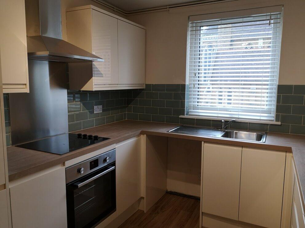
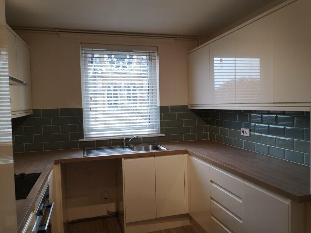
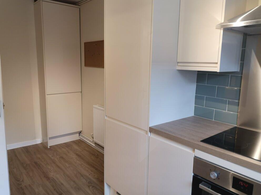
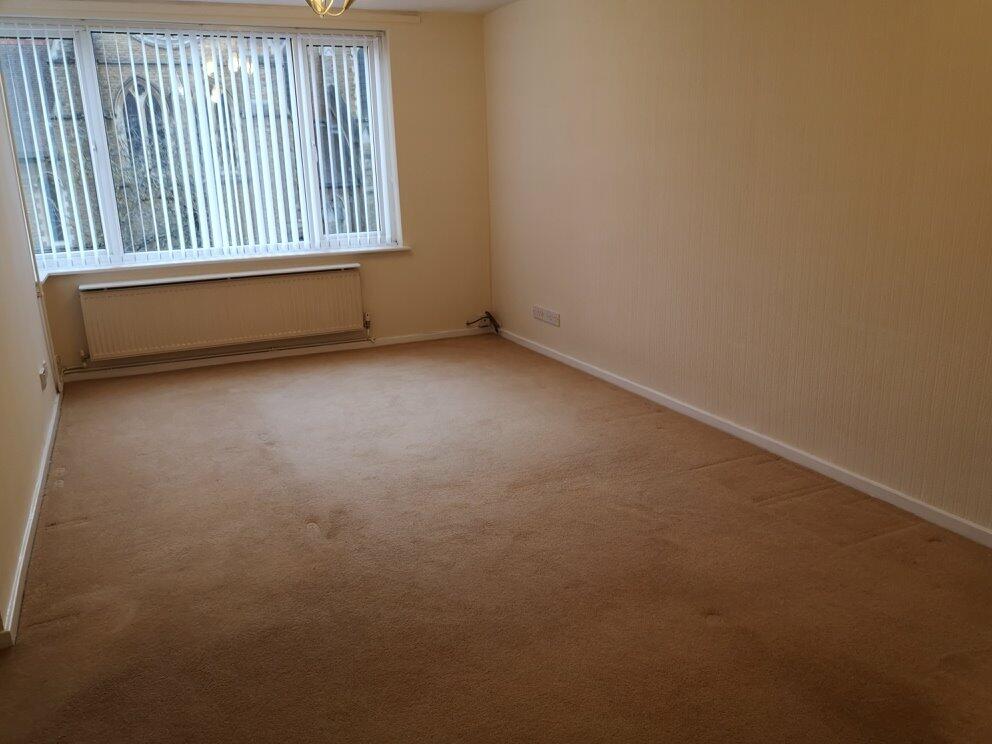
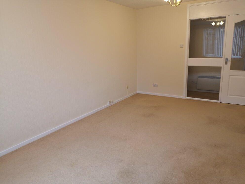
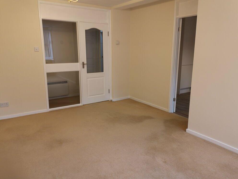
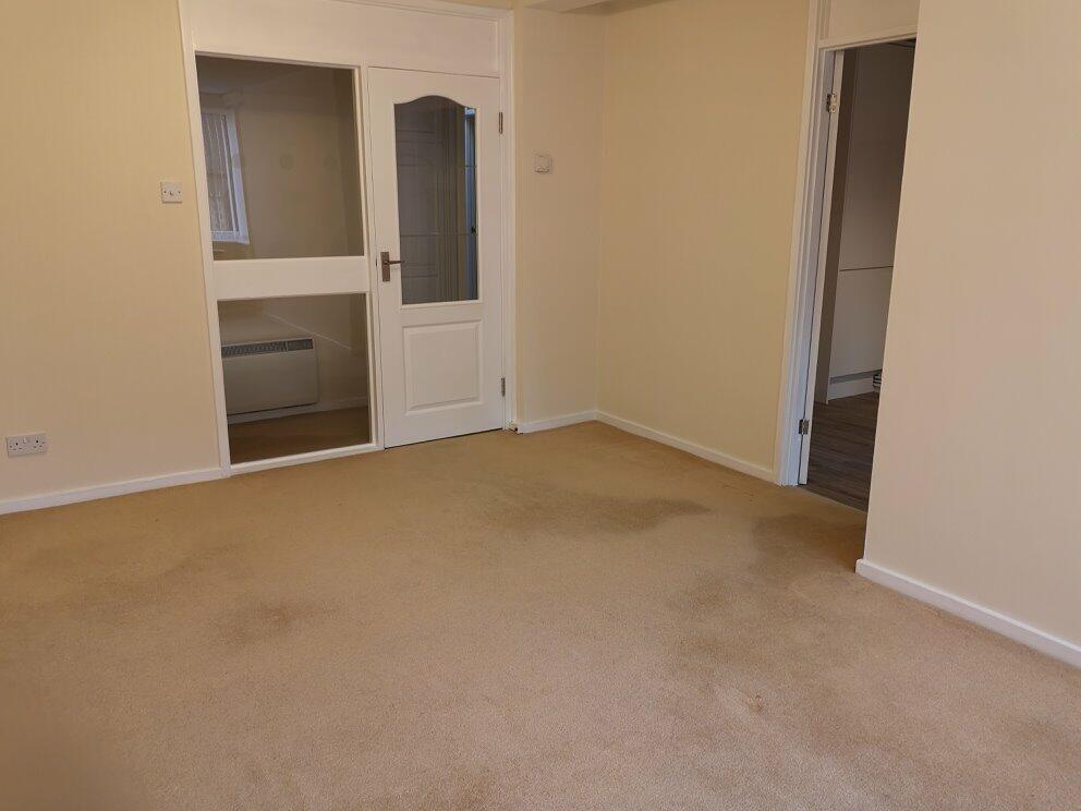
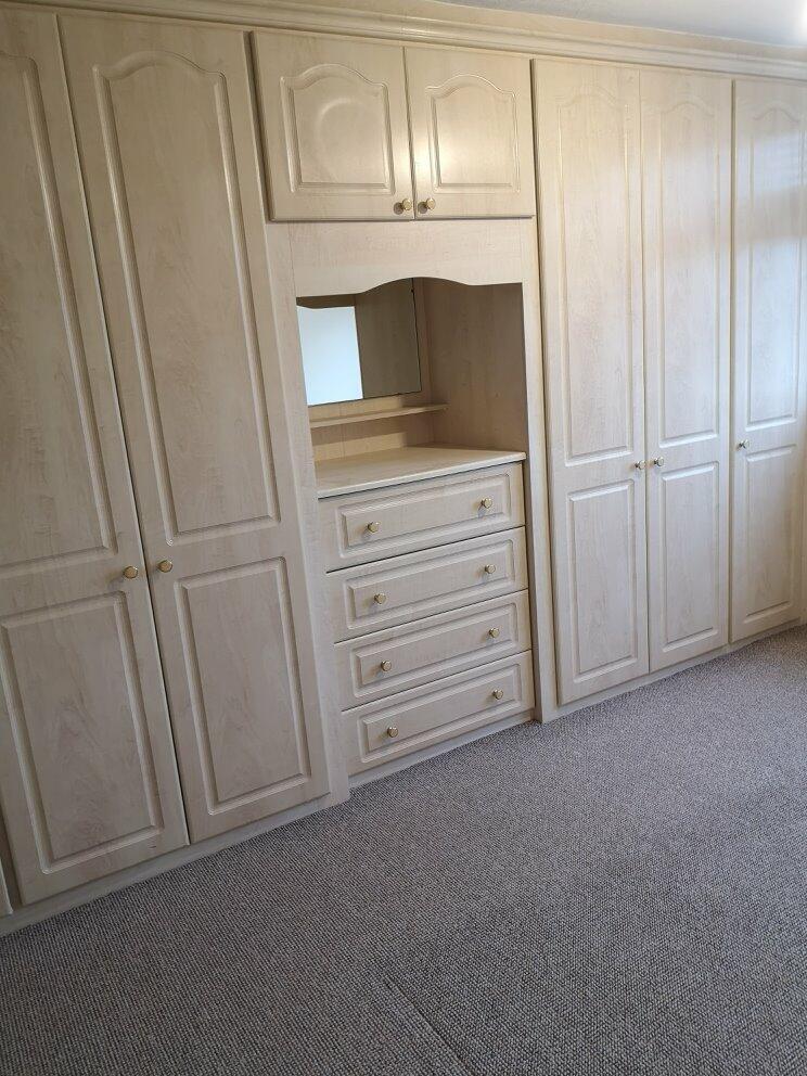
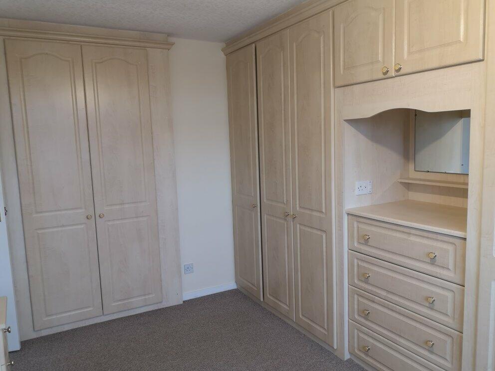
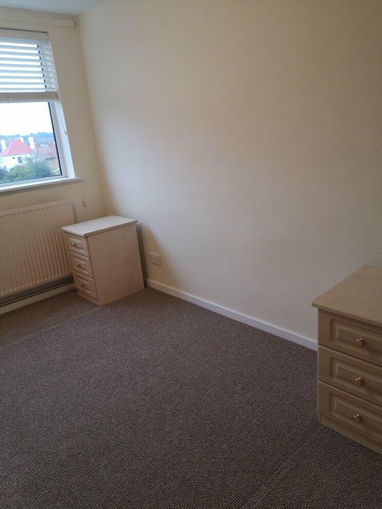
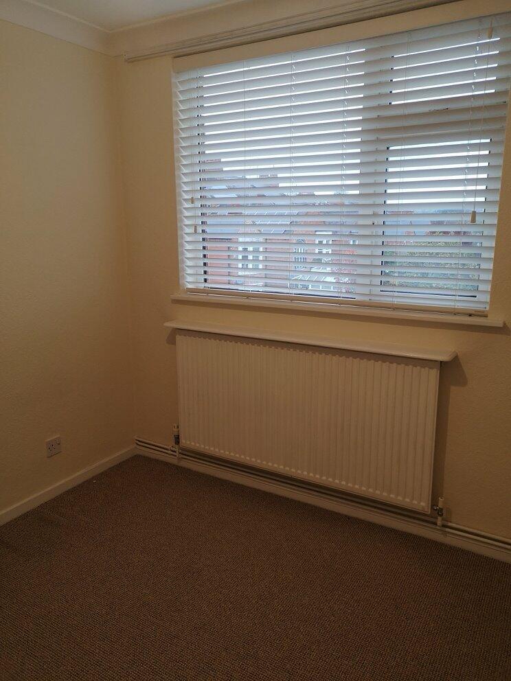
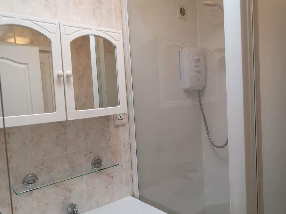
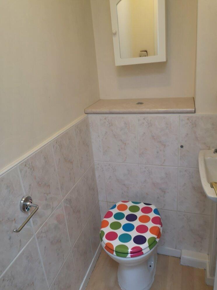
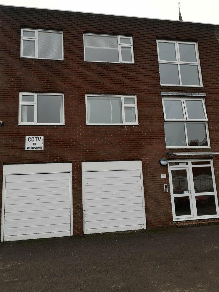
Photo 1 Photo 2 Photo 3 Photo 4 Photo 5 Photo 6 Photo 7 Photo 8 Photo 9 Photo 10 Photo 11 Photo 12 Photo 13 Photo 14
/ 14
Property details
Floor area
64 m²
Council tax band
B
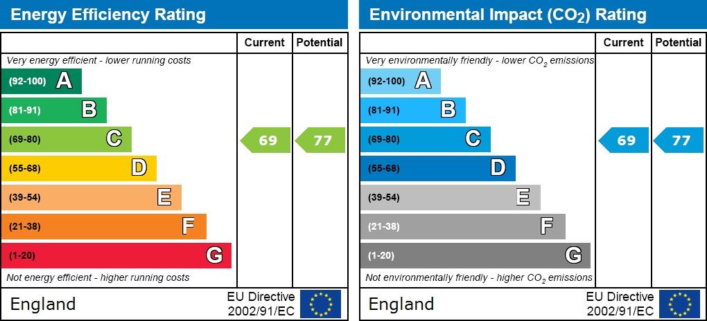
EPC rating
C
Year built
England and Wales: 1976-1982
Deprivation
Decile 3 (8,768 of 33,755)
Street crime
506 incidents within 1 mile (Apr 2026)
Key features
- Apartment
- 2 Beds
- 1 Reception
- 1 Bathroom
- Energy Rating : C
- Council Tax Band B
- Unfurnished
- Shower
- Garage
- Parking
Additional details
- Parking
- Garage
Description
The property comprises of entrance hall, large living room, a modern fitted kitchen with space for a table, built in fridge freezer, electric oven and hob with extractor. The wall and base units give plenty of storage and space for a washing machine.
To the rear of the apartment, there is a Shower Room and a separate WC, a large double bedroom with fully fitted wardrobes and a further single bedroom. Benefits include double glazing, gas radiator central heating and Garage.
Available From 11th April 2023
Energy Rating C
STRICTLY NO PETS ALLOWED
Full references will be completed and a deposit will be required.
Call the Miltons Team to view on .
Listed by
Northampton
Key Home Residential Sales and Lettings Ltd
Reference: 134080193
EPC Rating & Upgrade Cost
Current rating: C
Potential rating: C
Inspection date: 21/01/2019
Expiry date: 20/01/2029
Current heating cost: £459/year
Potential heating cost: £291/year
Est. upgrade cost to C: £4,775
Recommendations
- Flat roof or sloping ceiling insulation (£850 - £1,500)
- Cavity wall insulation (£500 - £1,500)
- Replace boiler with new condensing boiler (£2,200 - £3,000)
Flood risk
Zone: 1
Risk: Low
Job (default Low)
EPC Graphs
EPC graph
Company ownership
Registered legal owner is a company.
Rental Range
Estimated market rent for West Northamptonshire. Low = conservative, Realistic = average, Optimistic = best case.
Based on Local Authority from postcode lookup → West Northamptonshire.
LHA (30th percentile) floor for Leicester: £648/mo (Apr 2025 – Mar 2026)
Location
Nearby
Nearest stations, universities and amenities (distance from property).
| Type | Name | Distance |
|---|---|---|
| Bus stop | Unknown | 0.0 miles |
| Shop | Georgie's | 0.0 miles |
| Shop | Capital | 0.0 miles |
| Hospital | St Matthews Hospital | 0.1 miles |
| University | University of Northampton St Georges Avenue | 0.6 miles |
| Hospital | Manfield Health Campus | 1.1 miles |
| University | University of Northampton - School of Podiatry | 1.2 miles |
| Train station | Northampton | 1.6 miles |
| Train station | Boughton | 2.7 miles |
Street-level crime
| Category | Count |
|---|---|
| Violence and sexual offences | 181 |
| Anti-social behaviour | 140 |
| Public order | 30 |
| Drugs | 25 |
| Other theft | 25 |
| Vehicle crime | 24 |
| Criminal damage and arson | 23 |
| Burglary | 19 |
| Robbery | 14 |
| Shoplifting | 10 |
| Possession of weapons | 8 |
| Other crime | 3 |
| Bicycle theft | 2 |
| Theft from the person | 2 |
| Total incidents | 506 |
Within 1 mile during Apr 2026. Source: data.police.uk (England & Wales).
Schools nearby
Nearest open schools with Ofsted ratings (England). Closed schools are not shown. Data from Get Information about Schools and Ofsted.
| Name | Type | Distance | Ofsted |
|---|---|---|---|
| Wallace Road Nursery School | Nursery | 0.3 miles | Good — 24 Jul 2022 |
| Kingsley Primary School | Primary | 0.4 miles | Good — 24 Jul 2023 |
| Cedar Road Primary School | Primary | 0.4 miles | Good — 3 Jul 2023 |
| Fairfields School | Other | 0.5 miles | Outstanding — 20 Mar 2014 |
| Stimpson Avenue Academy | Primary | 0.5 miles | Good — 19 Sep 2023 |
Rental Comparables
Loading rental comparables for this postcode. Refresh in a few minutes.