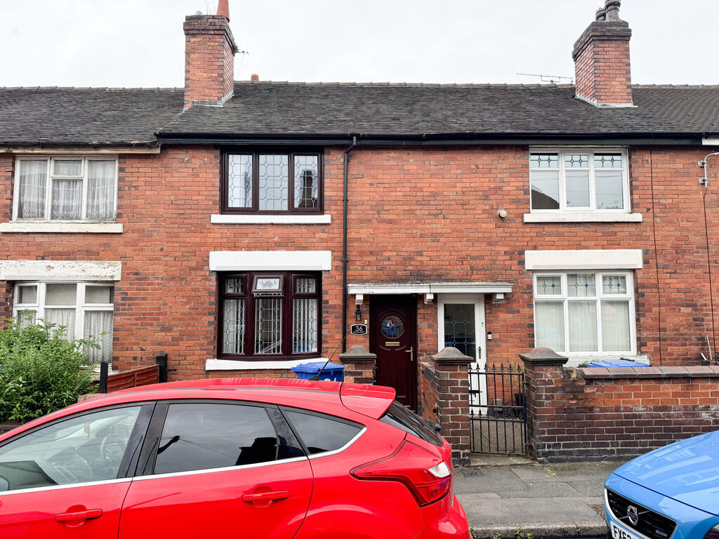
36 BOWDEN STREET
STOKE-ON-TRENT, STOKE-ON-TRENT ST6 1JB
£750 pcm
Property details
Floor area
81 m²
Council tax band
A
Deprivation
Decile 1 (2,423 of 33,755)
Street crime
397 incidents within 1 mile (Apr 2026)
Key features
- Large Forecourted Terrace House
- Two Bedrooms
- Well Presented
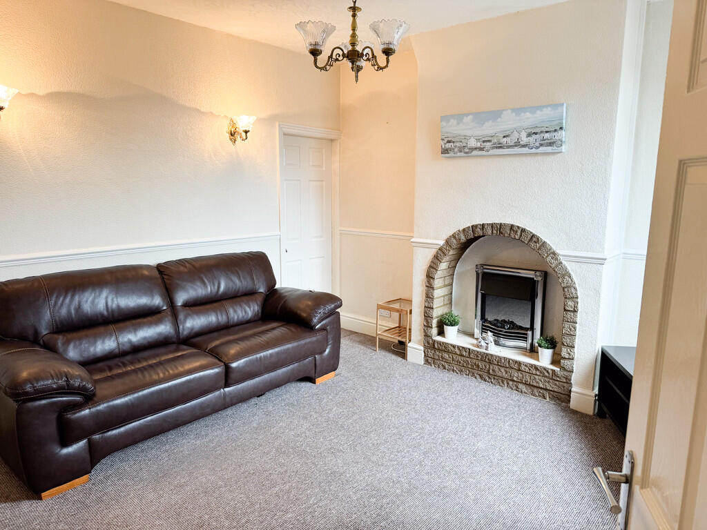
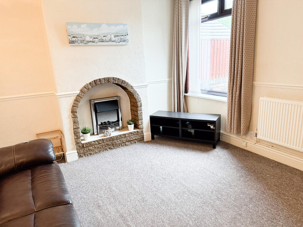
- Lounge
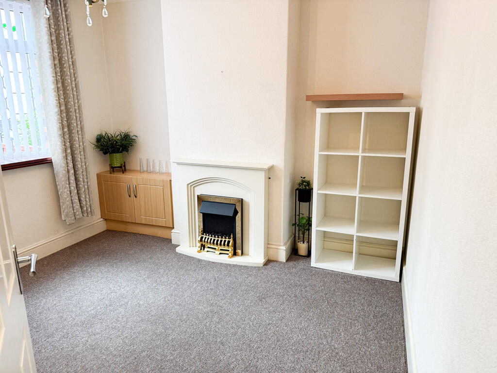
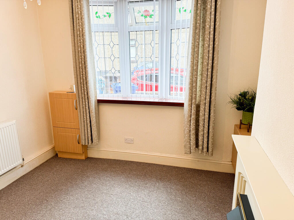
- Sitting Room
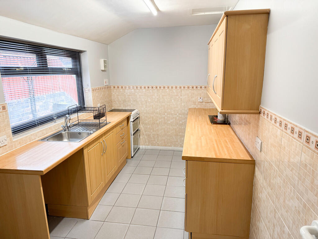
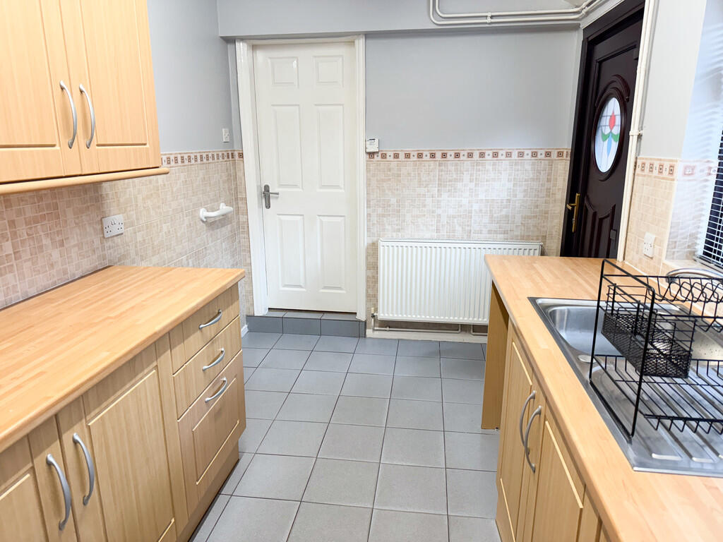
- Fitted Kitchen
- Gch with Combination Boiler
- Deposit £865.38
- Available End of March 2026
- Viewing Strongly Advised
Additional details
- Heating
- Gas central
- Parking
- On street
- Garden
- Yes
Description
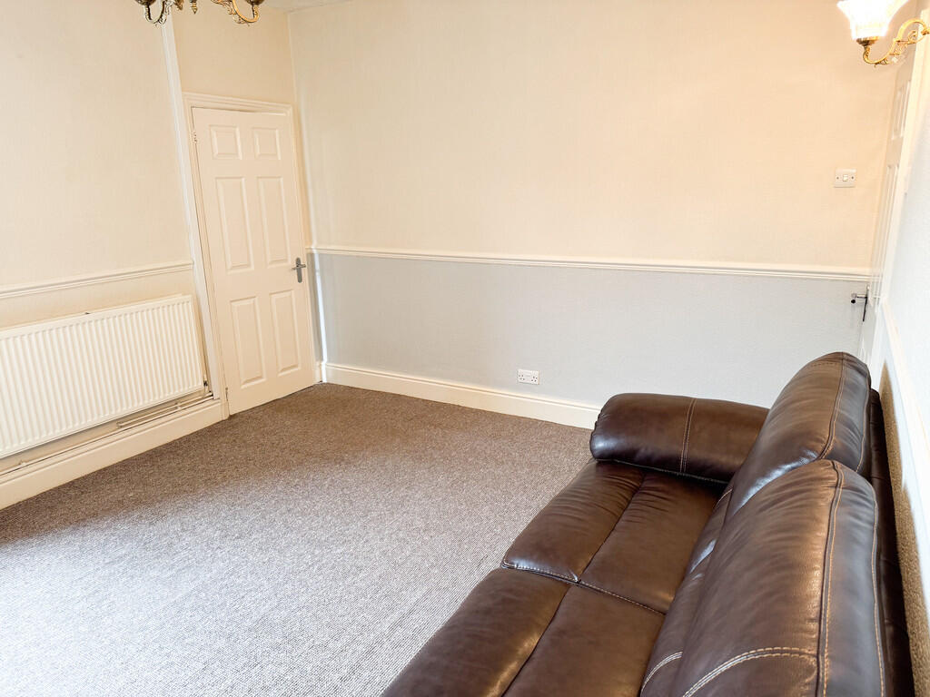
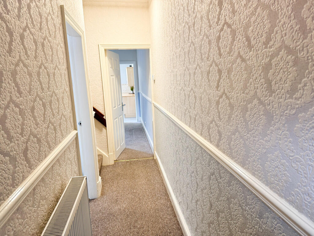
ENTRANCE HALL(DRAFT DETAILS) Stairs leading to the first floor, doors into:
SITTING ROOM 11' 1" x 10' 6" (3.38m x 3.2m) Feature fireplace.
LOUNGE 13' 10" x 11' 10" (4.22m x 3.61m) Feature fireplace, storage cupboard. Door leading into:
KITCHEN 14' 3" x 7' 5" (4.34m x 2.26m) Fitted kitchen, 'Worcester Bosch' combination boiler. UPVC double glazed door leading to the garden.
FIRST FLOOR
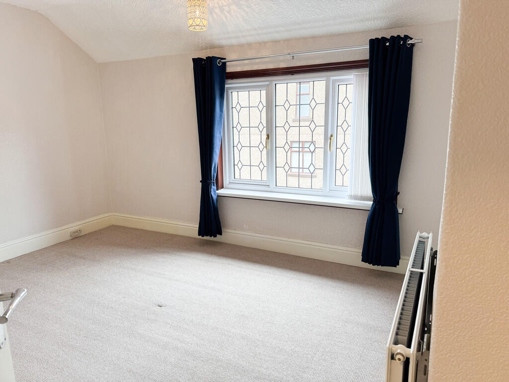
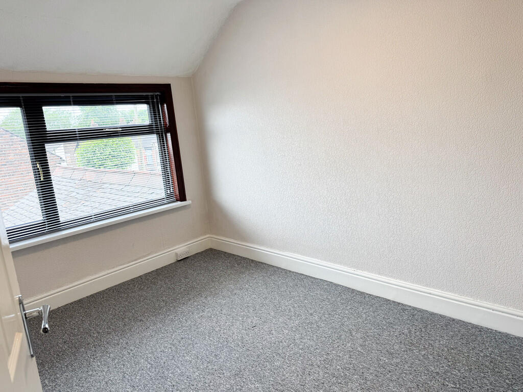
BEDROOM ONE 14' 0" x 11' 2" (4.27m x 3.4m)
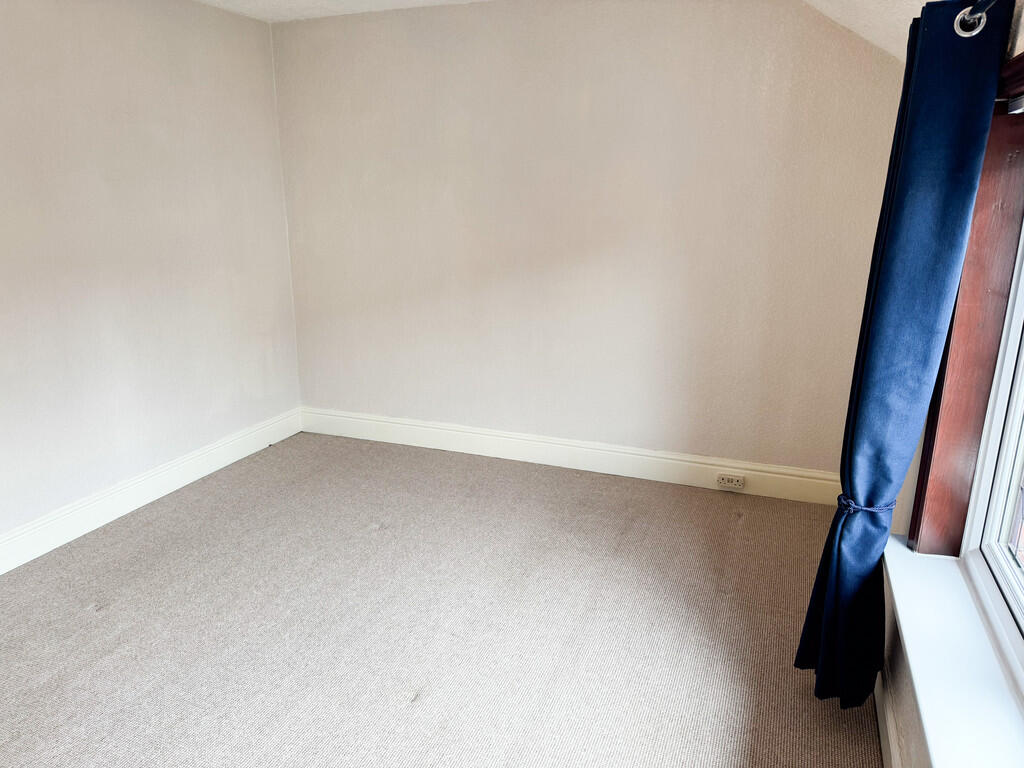
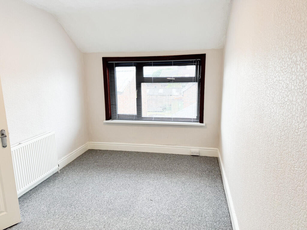
BEDROOM TWO 15' 2"Maximum x 8' 7" (4.62m x 2.62m)
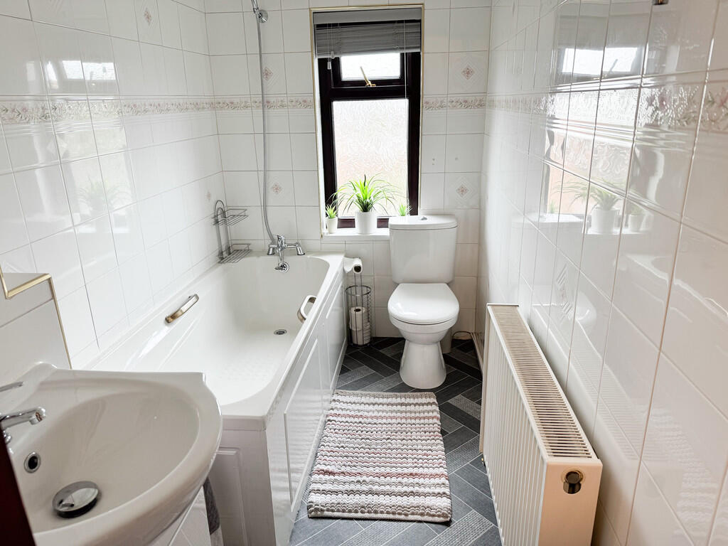
BATHROOM/WC 8' 4" x 4' 8" (2.54m x 1.42m) Bath, vanity sink unit, WC.
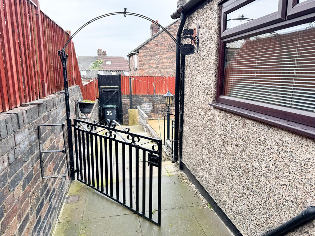
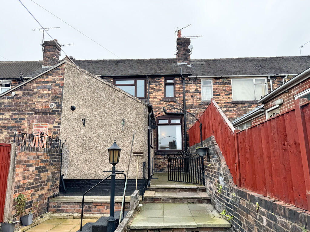
EXTERIOR ** The property has a forecourt.
To the rear there is a good sized low maintenance garden.
Listed by
Stoke-on-Trent
Findahome Online
Reference: 173367146
EPC Rating & Upgrade Cost
Fetching EPC data… Refresh this page in a moment.
Flood risk
Zone: 1
Risk: Low
Job (default Low)
EPC Graphs

EPC Front Page

EPC Front Page
Rental Range
Estimated market rent for Stoke-on-Trent. Low = conservative, Realistic = average, Optimistic = best case.
Based on Local Authority from postcode lookup → Stoke-on-Trent.
LHA (30th percentile) floor for Staffordshire North: £479/mo (Apr 2025 – Mar 2026)
Location
Nearby
Nearest stations, universities and amenities (distance from property).
| Type | Name | Distance |
|---|---|---|
| Bus stop | Moorland Road, opposite Park Road | 0.1 miles |
| Bus stop | Moorland Road, Park Road | 0.1 miles |
| Shop | Dartmouth Food & Wine | 0.1 miles |
| Shop | Newsagent Off Licence | 0.2 miles |
| Hospital | Haywood Hospital Walk-in Centre | 0.6 miles |
| Hospital | Haywood Hospital | 0.6 miles |
| Train station | Longport | 1.4 miles |
| University | University of Staffordshire Stoke Campus | 2.7 miles |
| Train station | Stoke-on-Trent | 2.8 miles |
Street-level crime
| Category | Count |
|---|---|
| Violence and sexual offences | 128 |
| Anti-social behaviour | 99 |
| Public order | 34 |
| Other theft | 24 |
| Shoplifting | 22 |
| Burglary | 20 |
| Criminal damage and arson | 20 |
| Vehicle crime | 19 |
| Drugs | 14 |
| Other crime | 6 |
| Possession of weapons | 4 |
| Robbery | 4 |
| Bicycle theft | 2 |
| Theft from the person | 1 |
| Total incidents | 397 |
Within 1 mile during Apr 2026. Source: data.police.uk (England & Wales).
Schools nearby
Nearest open schools with Ofsted ratings (England). Closed schools are not shown. Data from Get Information about Schools and Ofsted.
| Name | Type | Distance | Ofsted |
|---|---|---|---|
| The Valiant School | Other | 0.0 miles | — (No rating) |
| Moorpark Junior School | Primary | 0.2 miles | Good — 11 Jul 2016 |
| Jackfield Infant School | Primary | 0.2 miles | Good — 18 Jan 2023 |
| Haywood Academy | Secondary | 0.5 miles | Good — 14 Jun 2023 |
| North Road Academy | Other | 0.5 miles | Requires improvement — 2 Apr 2023 |
Rental Comparables
Residential lets from OpenRent and Rightmove for the area (same bedroom count). Use to validate rent estimates. Student lets are excluded.
| Title | Rent | Beds | Distance | As seen on |
|---|---|---|---|---|
| Dartmouth Street, STOKE-ON-TRENT | £750/mo | 2 | 0.08 miles | Rightmove |
| Macclesfield Street, Stoke-On-Trent, ST6 | £725/mo | 2 | 0.09 miles | Rightmove |
| Jackfield Street,Burslem, Stoke-on-Trent | £700/mo | 2 | 0.12 miles | Rightmove |
| Wade Street Burslem | £750/mo | 2 | 0.12 miles | Rightmove |
| May Street, Burslem, Stoke-on-Trent, Staffordshire, ST6 | £625/mo | 2 | 0.18 miles | Rightmove |
| Lingard Street, Burslem, Stoke-on-Trent, ST6 | £750/mo | — | 0.21 miles | Rightmove |
| Hamil Road, Burslem | £745/mo | 2 | 0.22 miles | Rightmove |
| Stanfield Road, Stoke-On-Trent, ST6 | £700/mo | 2 | 0.23 miles | Rightmove |
| Nile Street, Burslem, Stoke-On-Trent, ST6 | £950/mo | 2 | 0.43 miles | Rightmove |
| Moorland Road, Burslem, Stoke-on-Trent | £715/mo | 2 | 0.48 miles | Rightmove |
| Lindley Street, Stoke-On-Trent | £650/mo | 2 | 0.55 miles | Rightmove |
| Federation Road, Burslem | £625/mo | 2 | 0.69 miles | Rightmove |
| Forest edge Sneyd Street, Stoke-On-Trent | £850/mo | 2 | 0.84 miles | Rightmove |
| Sneyd Street, Sneyd Green | £895/mo | 2 | 0.84 miles | Rightmove |
| Lyndhurst Street, Burslem | £695/mo | 2 | 0.84 miles | Rightmove |
| Patricia Rose Close, Stoke-On-Trent, ST6 | £1,035/mo | 2 | 0.93 miles | Rightmove |
| King William Street, Tunstall | £750/mo | 2 | 0.96 miles | Rightmove |
| Bowlers Close, Festival Heights, Stoke-on-Trent, ST6 | £800/mo | 2 | 0.99 miles | Rightmove |
| Pinnox Street, Stoke-On-Trent | £850/mo | 2 | 1.01 miles | Rightmove |
| 25 Morton Street | £700/mo | 2 | 1.05 miles | Rightmove |
Average rent: £749/mo (31 listings)