Corporation Street
Stoke-on-Trent, Staffordshire, ST4, ST4 4AY
£725 pcm
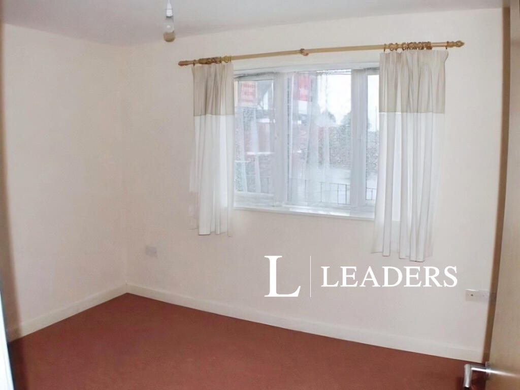
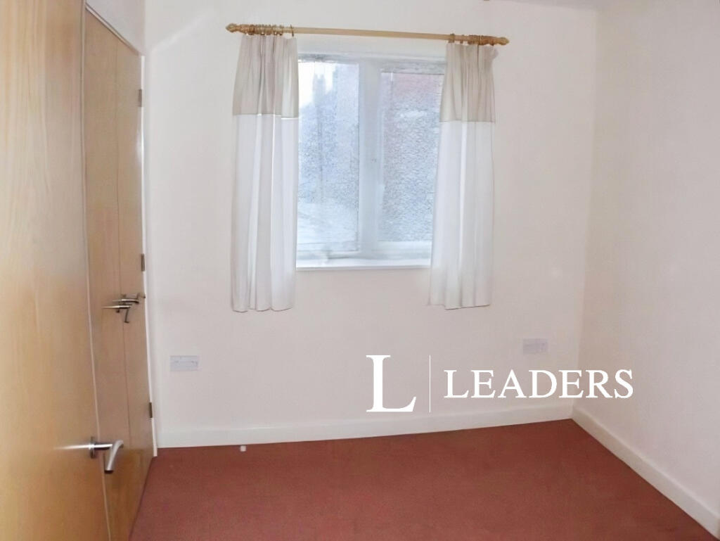
Property details
Council tax band
A
Deprivation
Decile 3 (8,918 of 33,755)
Street crime
427 incidents within 1 mile (Aug 2026)
Key features
- TWO BEDROOM
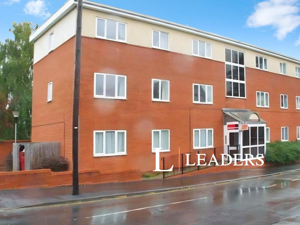
- GROUND FLOOR FLAT
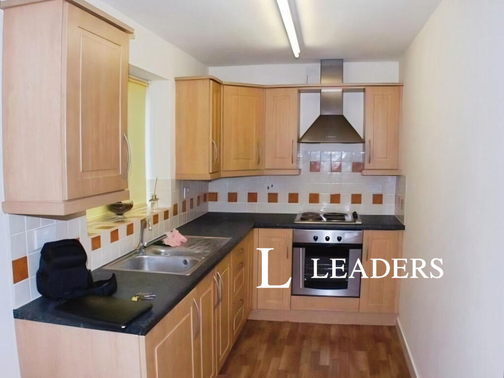
- OPEN PLAN KITCHEN DINER
- No Deposit Option
Additional details
- Parking
- Yes
Description
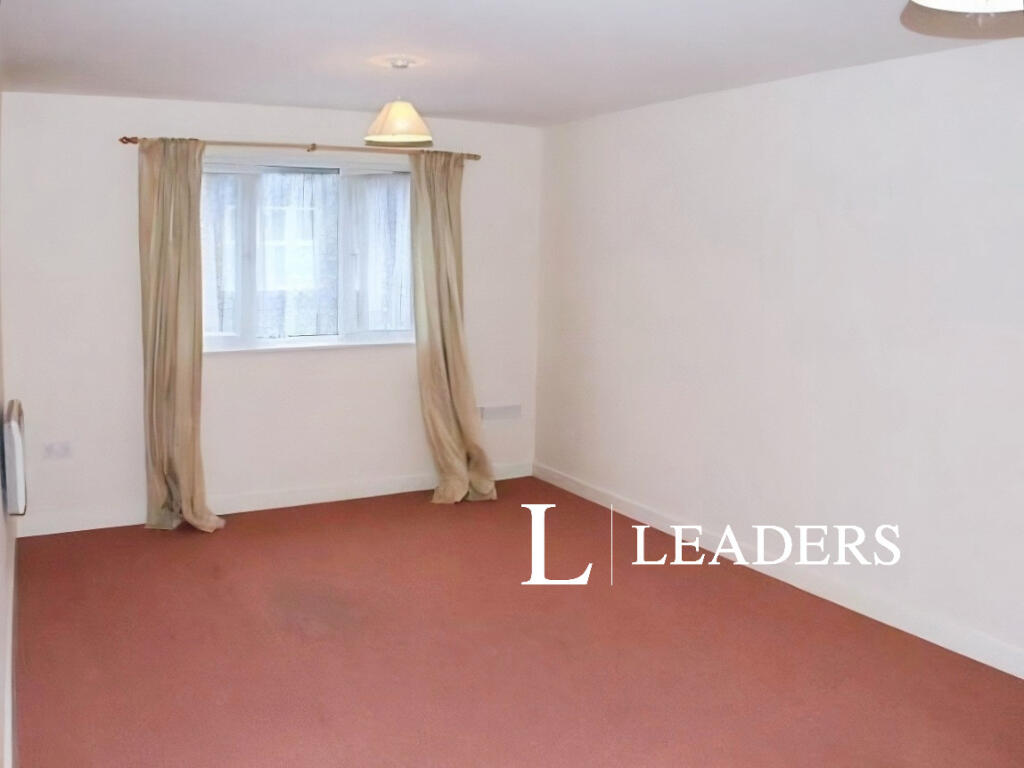
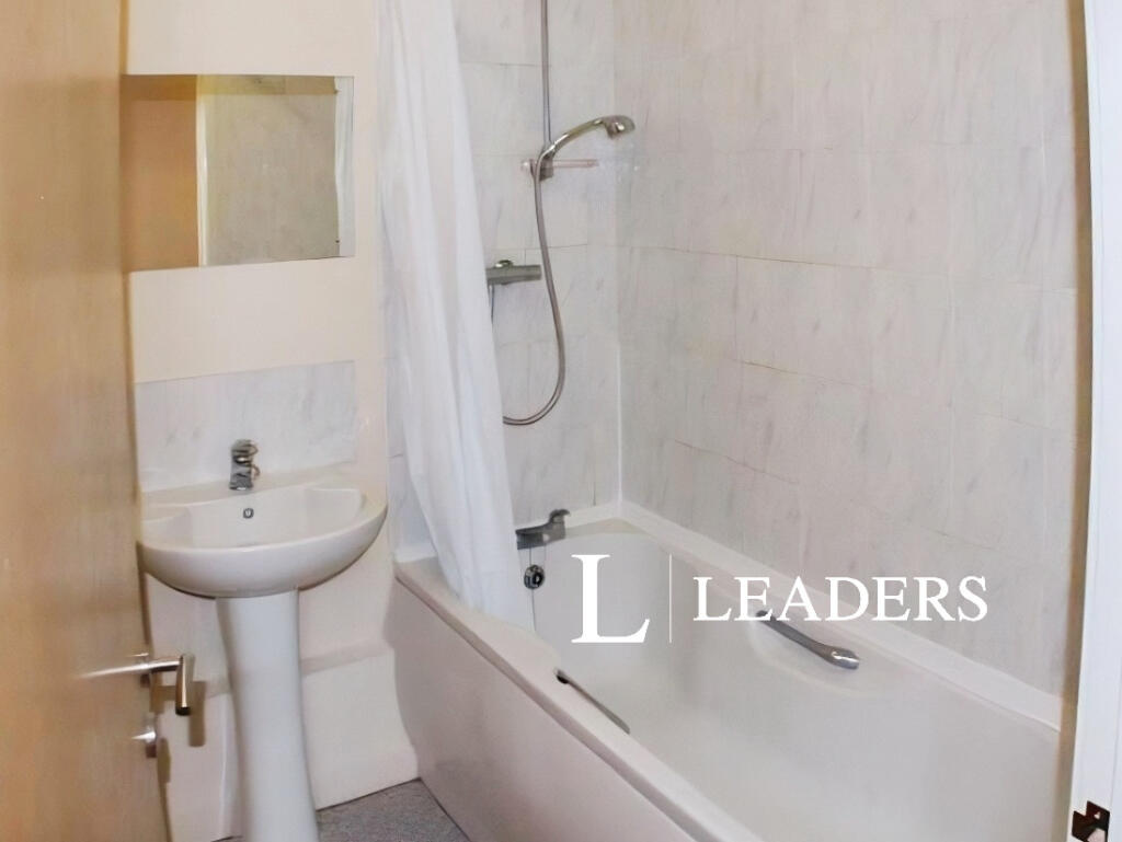
The apartment briefly comprises of entrance hallway with electronic intercom, following into the open plan kitchen diner, with an integrated washer, oven and hob, two spacious bedrooms and a three-piece family bathroom
Externally there is private parking.
EPC Rating: C. Council Tax Band: A. Rent excludes the tenancy deposit and any other permitted payments. Please contact us for further information or visit our website. Deposit payable is £836.53. A holding deposit of £167.30, based on the advertised rent, is required to reserve this property. Please contact us for further information or visit our website.
Broadband and Mobile Phone: Ofcom suggest that Ultrafast broadband is available to this property Via Openreach and 5g Mobile signal may be available on some networks. Information regarding broadband options and phone signal can be obtained from the Ofcom broadband and mobile coverage checker.
Listed by
Hartshill
Leaders and Romans Group
Reference: 93327909
EPC ratings on this postcode
We don't have a matched EPC for this property yet. Below are efficiency scores and details for other addresses on this postcode.
| Address | Current | Potential | Floor area | Age band | Type |
|---|---|---|---|---|---|
| 101, Corporation Street, STOKE-ON-TRENT | 58 | 78 | 78 m² | England and Wales: before 1900 | Terraced |
| 103 Corporation Street, STOKE-ON-TRENT | 61 | 80 | 82 m² | England and Wales: 1900-1929 | Terraced |
| 54 Corporation Street, STOKE-ON-TRENT | 70 | 87 | 75 m² | England and Wales: 1900-1929 | Terraced |
| 56 Corporation Street, STOKE-ON-TRENT | 63 | 80 | 74 m² | England and Wales: 1900-1929 | Terraced |
| 58 CORPORATION STREET, STOKE, STOKE-ON-TRENT, STOKE-ON-TRENT | 62 | 86 | 78 m² | England and Wales: 1900-1929 | Terraced |
| 60, Corporation Street, STOKE-ON-TRENT | 63 | 81 | 73 m² | England and Wales: 1900-1929 | Terraced |
| 62, Corporation Street, STOKE-ON-TRENT | 70 | 86 | 73 m² | England and Wales: 1900-1929 | Terraced |
| 66, Corporation Street, STOKE-ON-TRENT | 76 | 87 | 92 m² | England and Wales: before 1900 | Terraced |
| 67, Corporation Street, STOKE-ON-TRENT | 72 | 90 | 68 m² | England and Wales: 1900-1929 | Terraced |
| 69, Corporation Street, STOKE-ON-TRENT | 50 | 77 | 114 m² | England and Wales: 1900-1929 | Terraced |
| 70 Corporation Street, STOKE-ON-TRENT | 72 | 73 | 70 m² | England and Wales: 1900-1929 | Flat |
| 71 CORPORATION STREET, STOKE, STOKE-ON-TRENT, STOKE-ON-TRENT | 70 | 87 | 71 m² | England and Wales: 1900-1929 | Terraced |
| 73 Corporation Street, STOKE-ON-TRENT | 48 | 67 | 77 m² | England and Wales: before 1900 | Terraced |
| 91, Corporation Street, STOKE-ON-TRENT | 73 | 78 | 235 m² | England and Wales: 1900-1929 | Detached |
| 96, Corporation Street, STOKE-ON-TRENT | 60 | 85 | 83 m² | England and Wales: 1900-1929 | Detached |
Flood risk
Zone: 1
Risk: Low
Job (default Low)
Registered land (INSPIRE)
This location falls inside an HM Land Registry INSPIRE registered freehold polygon.
Building plot (shared): ~323 m² (0.08 acres) (area is for the building, not the flat)
Source: HM Land Registry INSPIRE Index Polygons.
EPC Graphs
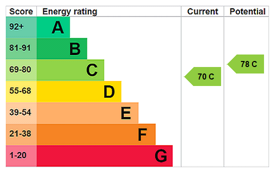
EPC Rating Graph
Rental Range
Estimated market rent for Stoke-on-Trent. Low = conservative, Realistic = average, Optimistic = best case.
Based on Local Authority from postcode lookup → Stoke-on-Trent.
LHA (30th percentile) floor for Staffordshire North: £479/mo (Apr 2025 – Mar 2026)
Location
Address
Foden Street
Nearby
Nearest stations, universities and amenities (distance from property).
| Type | Name | Distance |
|---|---|---|
| Shop | The Cube (Unisex hair salon) | 0.1 miles |
| Shop | Premier Everyday | 0.1 miles |
| Bus stop | The Villas | 0.1 miles |
| Bus stop | Unknown | 0.2 miles |
| Train station | Stoke-on-Trent | 0.8 miles |
| Hospital | Royal Stoke University Hospital | 1.1 miles |
| Hospital | North Staffordshire Hospital | 1.6 miles |
| Train station | Longton | 2.2 miles |
| University | Keele University | 3.5 miles |
| University | Buxton & Leek College | 10.2 miles |
Street-level crime
| Category | Count |
|---|---|
| Violence and sexual offences | 126 |
| Shoplifting | 71 |
| Anti-social behaviour | 63 |
| Public order | 39 |
| Criminal damage and arson | 29 |
| Other theft | 24 |
| Drugs | 23 |
| Burglary | 18 |
| Vehicle crime | 8 |
| Robbery | 7 |
| Other crime | 6 |
| Theft from the person | 6 |
| Possession of weapons | 5 |
| Bicycle theft | 2 |
| Total incidents | 427 |
Within 1 mile during Aug 2026. Source: data.police.uk (England & Wales).
Schools nearby
Nearest open schools with Ofsted ratings (England). Closed schools are not shown. Data from Get Information about Schools and Ofsted.
| Name | Type | Distance | Ofsted |
|---|---|---|---|
| Stoke Minster CofE Primary Academy | Primary | 0.2 miles | Inadequate — 27 Sep 2022 |
| The Willows Primary School | Primary | 0.6 miles | Good — 14 Dec 2010 |
| Thistley Hough Academy | Secondary | 0.6 miles | Good — 26 Apr 2017 |
| City of Stoke-On-Trent Sixth Form College | Other | 0.7 miles | — (No rating) |
| Oakhill Primary School | Primary | 0.7 miles | Good — 4 Dec 2023 |
Rental Comparables
Residential lets from OpenRent and Rightmove for the area (same bedroom count). Use to validate rent estimates. Student lets are excluded.
| Title | Rent | Beds | Distance | As seen on |
|---|---|---|---|---|
| Corporation Street, Stoke-on-Trent, Staffordshire, ST4 | £725/mo | 2 | 0 miles | Rightmove |
| Campbell Road, Stoke-On-Trent, ST4 | £700/mo | 2 | 0.16 miles | Rightmove |
| 2 Bed Terraced House, Boothen Old Road, ST4 | £825/mo | 2 | 0.27 miles | OpenRent |
| Shelburne Street, Stoke-On-Trent | £895/mo | 2 | 0.29 miles | Rightmove |
| James Street, Penkhull | £795/mo | 2 | 0.29 miles | Rightmove |
| Boothen Road, Stoke-On-Trent | £750/mo | 2 | 0.3 miles | Rightmove |
| Boon Avenue, Stoke-On-Trent | £895/mo | 2 | 0.35 miles | Rightmove |
| Fairbank Avenue, Stoke-on-trent | £925/mo | 2 | 0.43 miles | Rightmove |
| Gresty Street, Stoke-On-Trent | £795/mo | 2 | 0.45 miles | Rightmove |
| Greatbatch Avenue, Stoke-On-Trent, ST4 | £775/mo | 2 | 0.53 miles | Rightmove |
| Westland Street, Penkhull | £750/mo | 2 | 0.58 miles | Rightmove |
| Alastair Road, Oakhill | £800/mo | 2 | 0.59 miles | Rightmove |
| Princes Road, Penkhull | £395/mo | — | 0.62 miles | Rightmove |
| Floyd Street, Stoke-on-Trent | £700/mo | 2 | 0.65 miles | Rightmove |
| Richmond Street, Stoke-on-Trent, Staffordshire, ST4 | £795/mo | 2 | 0.65 miles | Rightmove |
| Grosvenor Avenue, STOKE-ON-TRENT | £825/mo | 2 | 0.66 miles | Rightmove |
| Gerrard Street, Hartshill | £900/mo | 2 | 0.69 miles | Rightmove |
| Masterson Street, STOKE-ON-TRENT | £795/mo | 2 | 0.82 miles | Rightmove |
| Masterson Street, Stoke-on-Trent, Staffordshire, ST4 | £750/mo | 2 | 0.82 miles | Rightmove |
| Lukesland Avenue, ST4 | £995/mo | 2 | 0.85 miles | Rightmove |
Average rent: £897/mo (50 listings)
Enter House Number
Enter the house number to help us retrieve more accurate pricing history and property data.
Please log in to submit or correct the house number for this listing.
Log in to continue