89 KNUTSFORD ROAD
ALDERLEY EDGE, CHORLEY, CHESHIRE SK9 7SH
£1,500,000
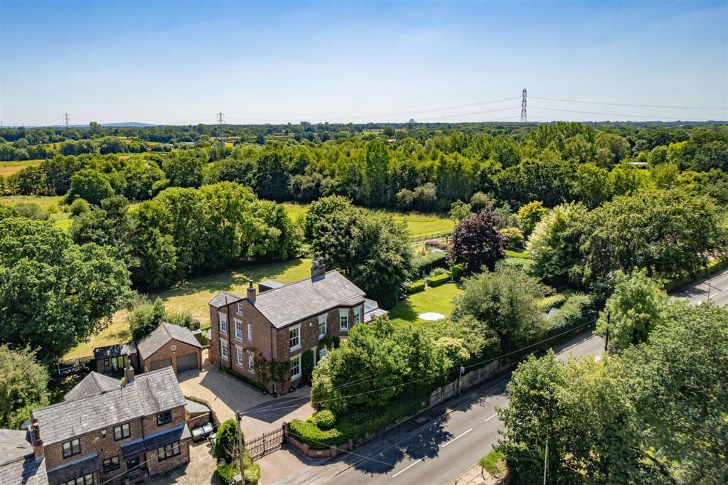
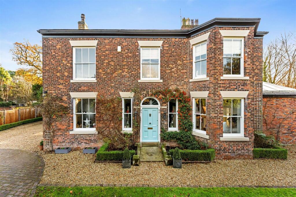
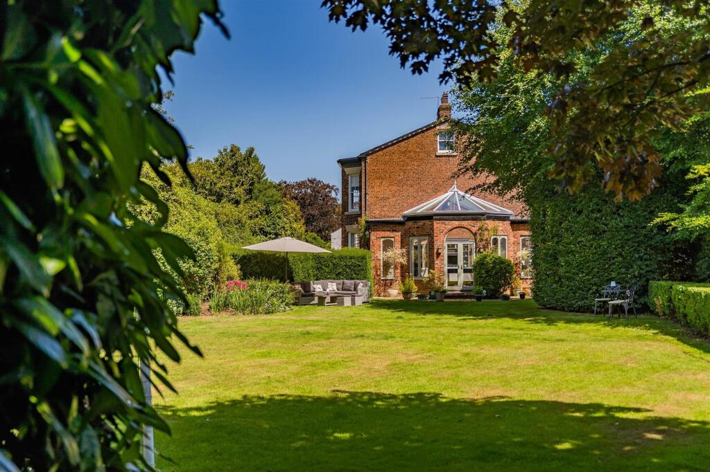
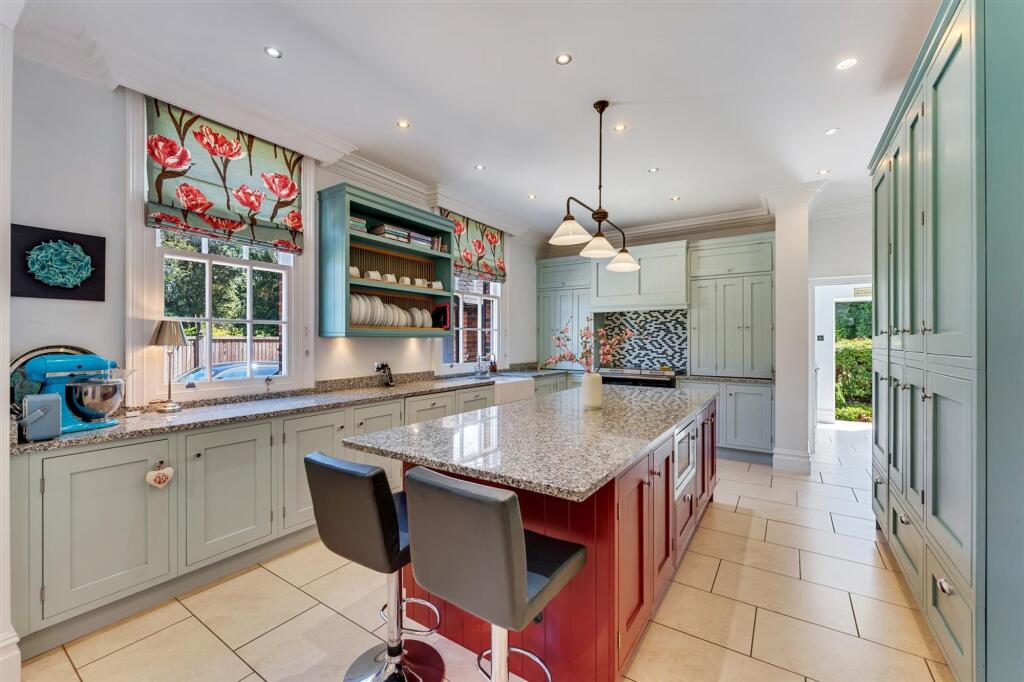
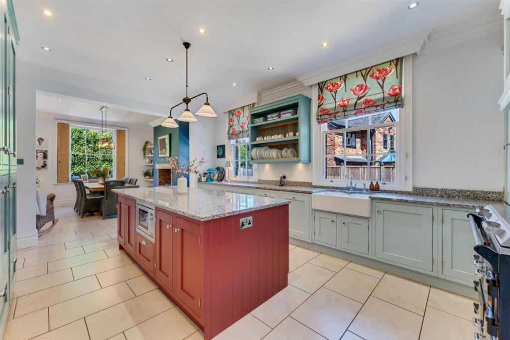
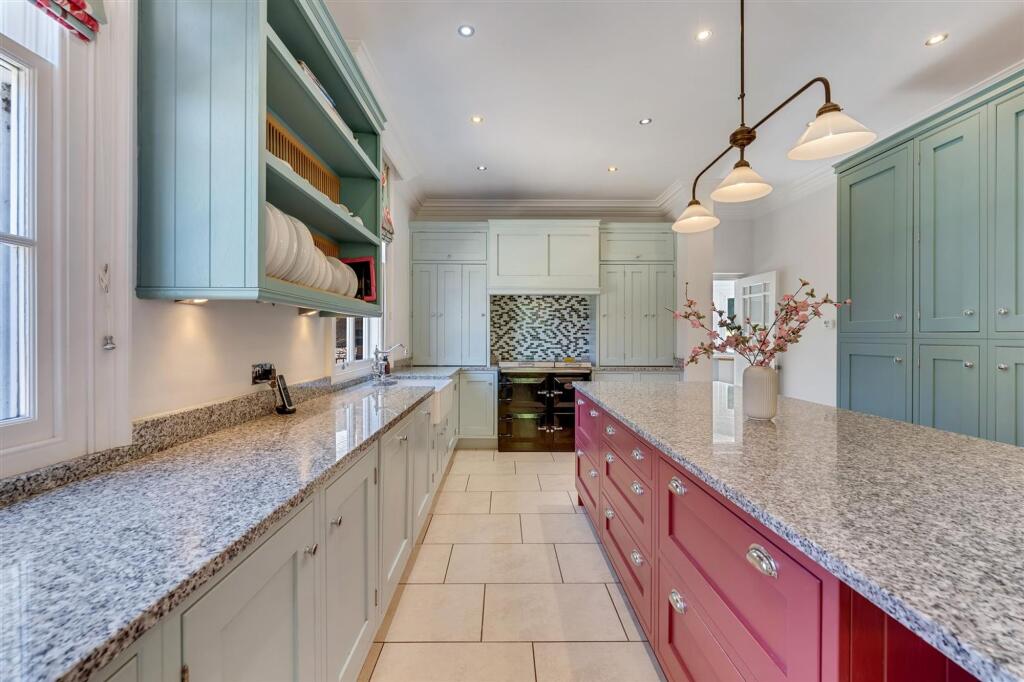
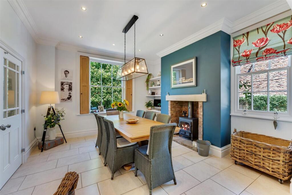
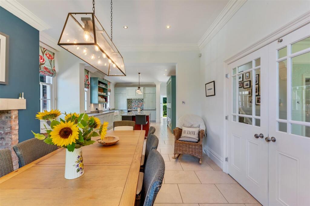
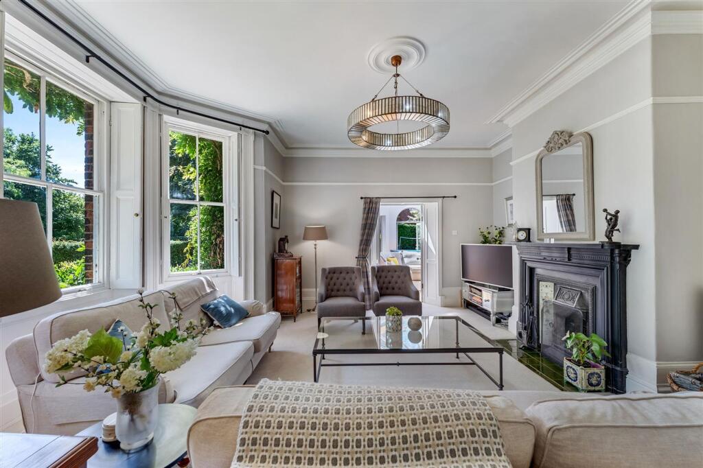
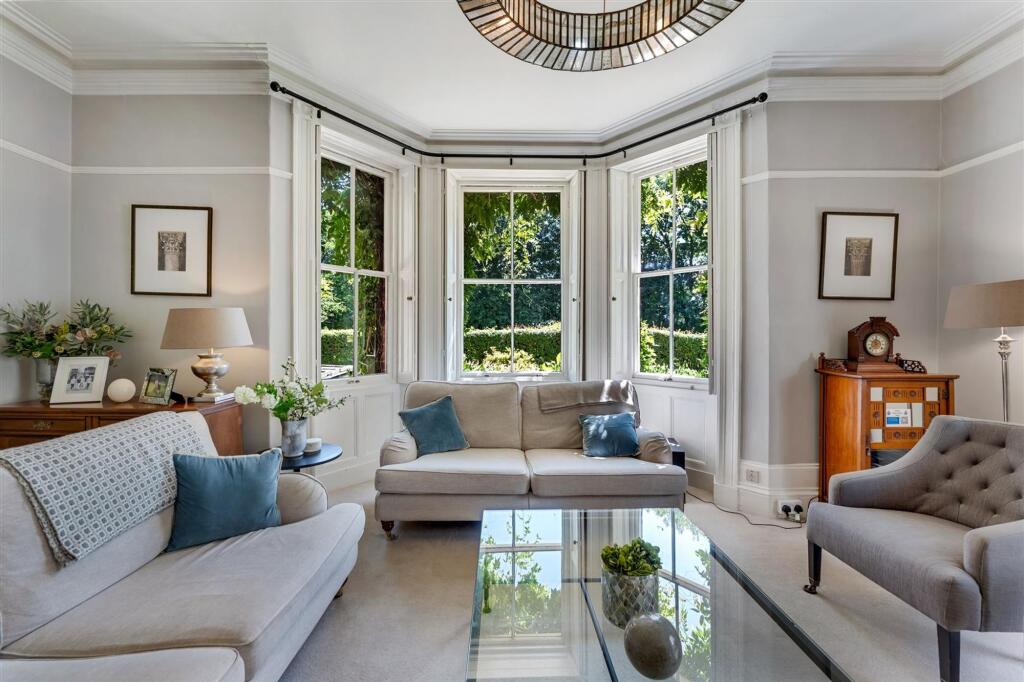
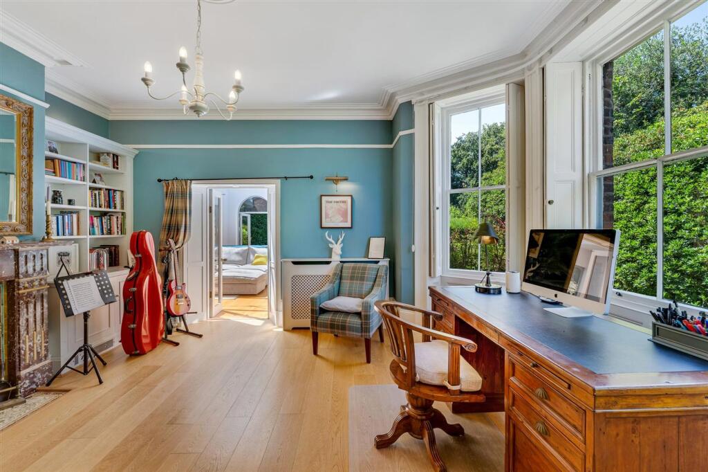
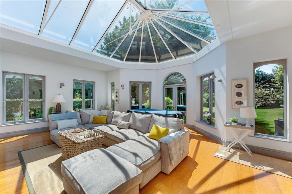
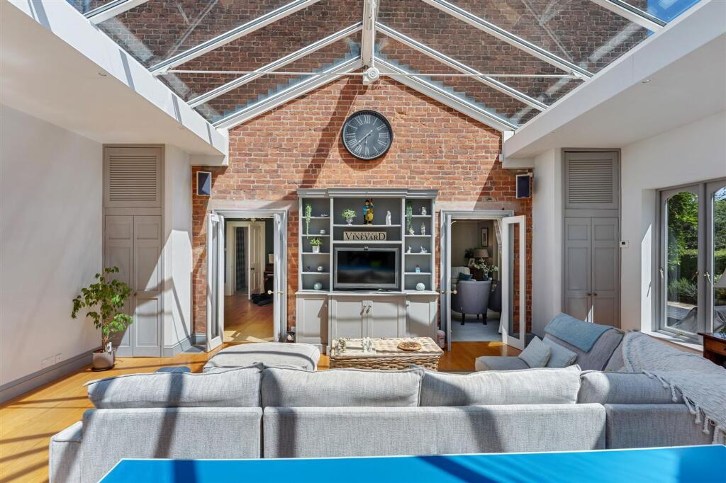
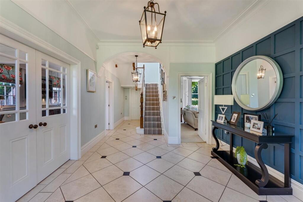
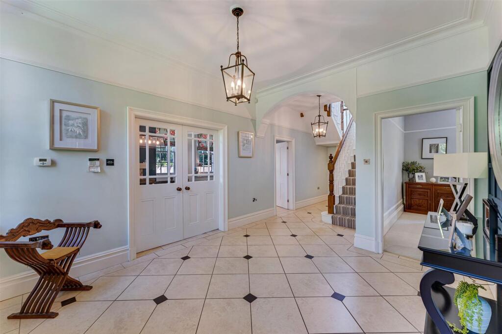
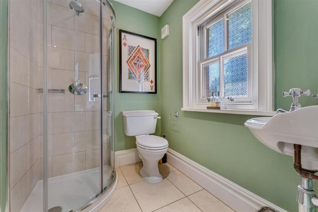
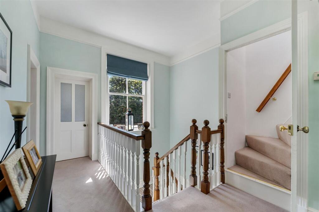
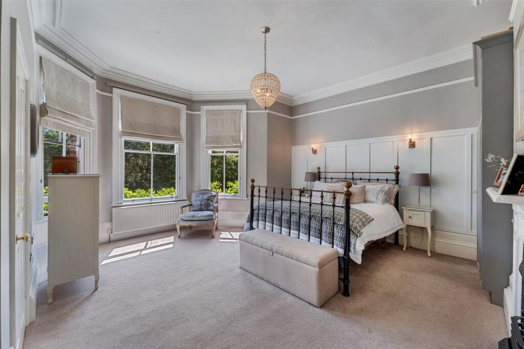
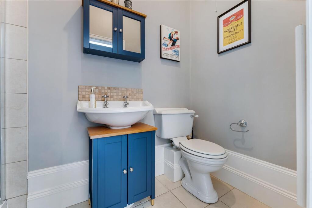
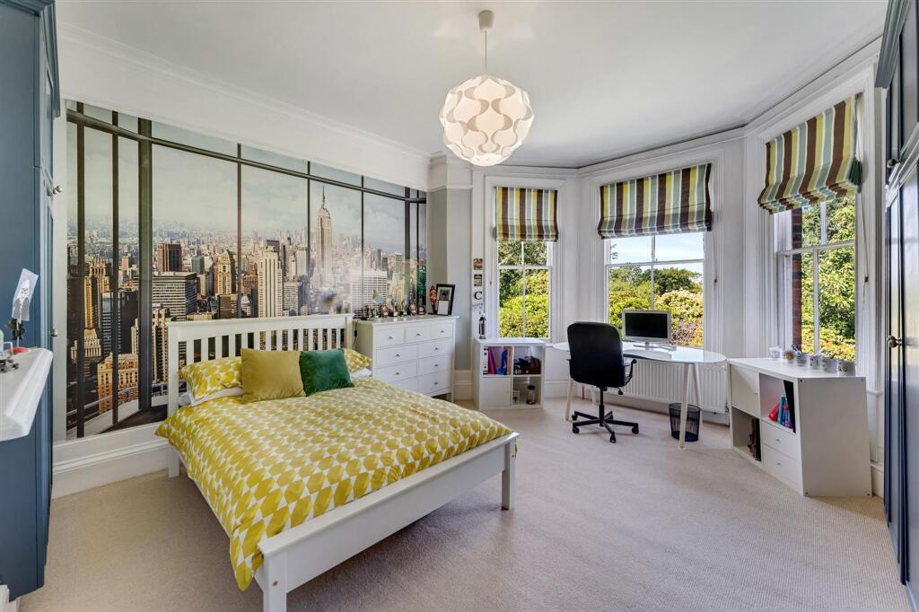
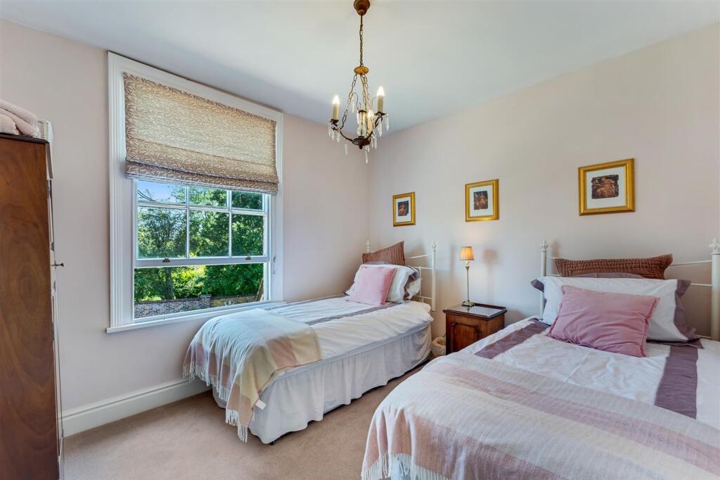
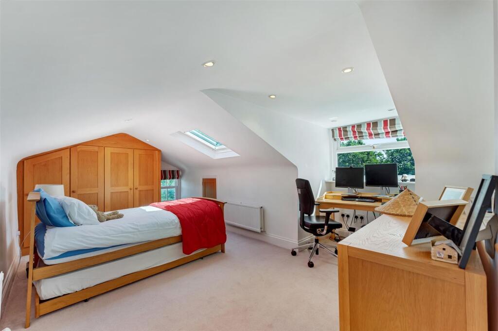
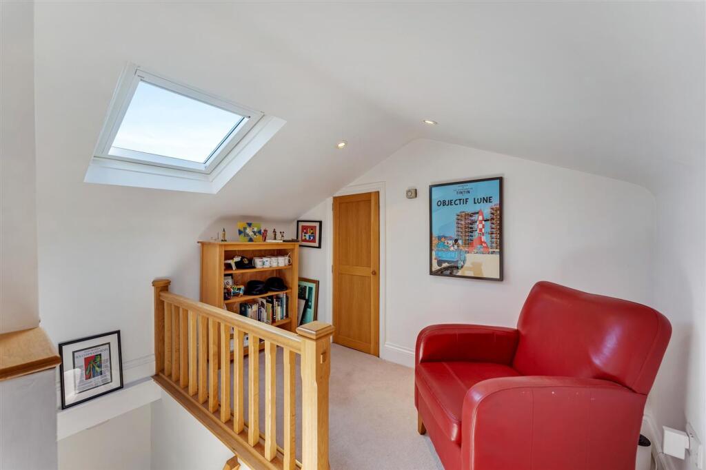
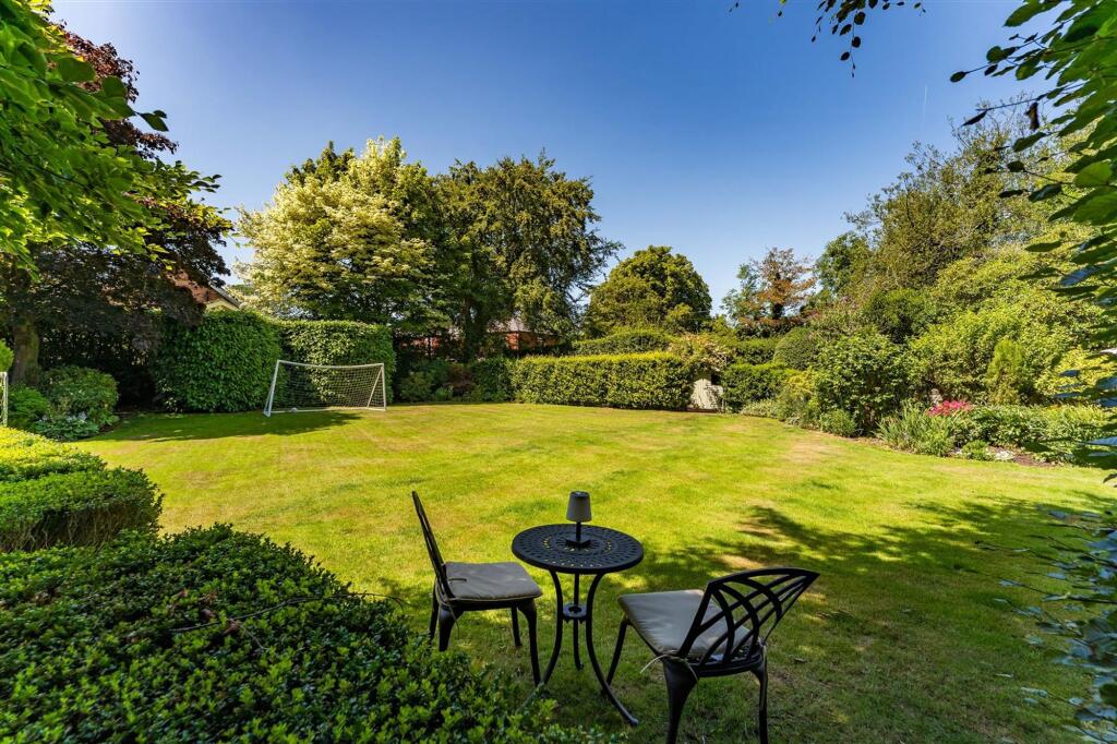
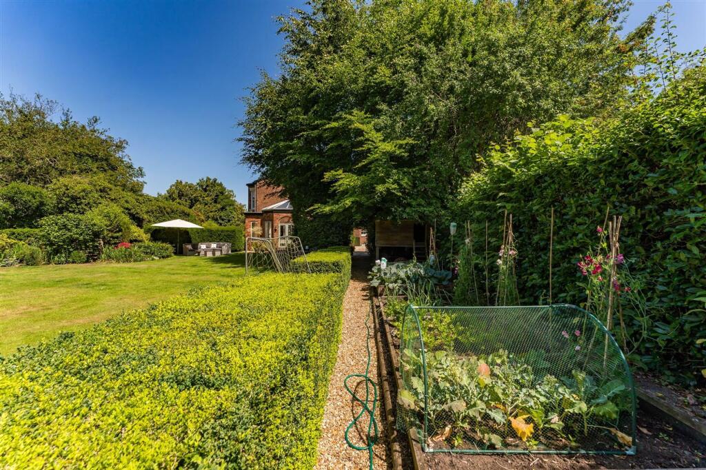
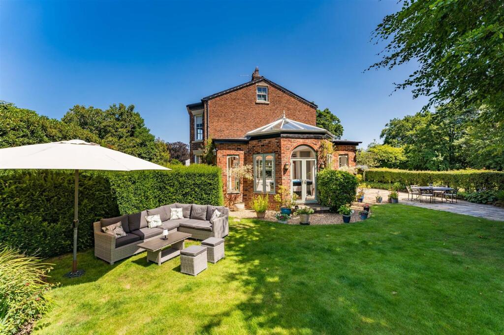
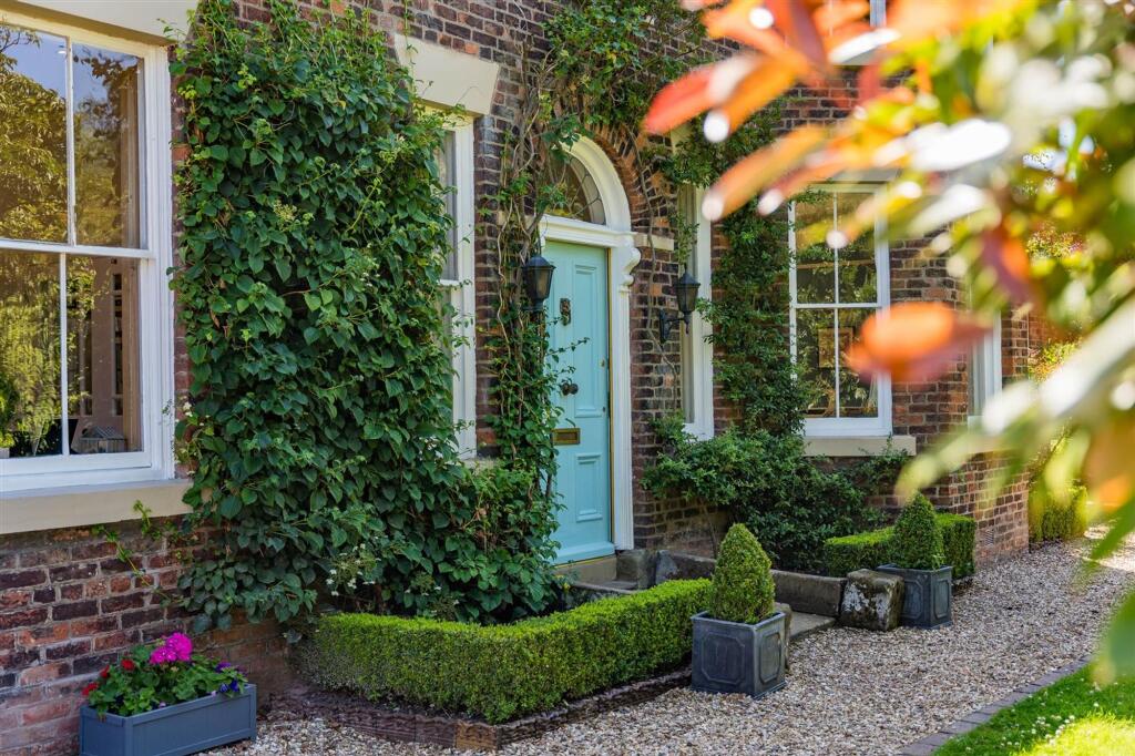
Photo 1 Photo 2 Photo 3 Photo 4 Photo 5 Photo 6 Photo 7 Photo 8 Photo 9 Photo 10 Photo 11 Photo 12 Photo 13 Photo 14 Photo 15 Photo 16 Photo 17 Photo 18 Photo 19 Photo 20 Photo 21 Photo 22 Photo 23 Photo 24 Photo 25 Photo 26 Photo 27 Photo 28 Photo 29 Photo 30 Photo 31
/ 31
Property details
Floor area
302 m²
Last sold
£925,000 Sep 2007
Local average
£837,551 (+79.1%)
Deprivation
Decile 10 (32,229 of 33,755)
Street crime
7 incidents within 1 mile (Apr 2026)
Key features
- Gated Driveway and Detached Double Garage
- Immaculately Maintained
- Mature Gardens and Grounds
- Idyllic Gardens
- Easy Access to Alderley Edge and Wilmslow
- Stunning Period Residence
Additional details
- Parking
- Yes
- Garden
- Yes
- Listed property
- No
- Restrictions
- No
- Required access
- No
- Rights of way
- No
- Flooded in last 5 years
- No
- Flood defences
- No
Description
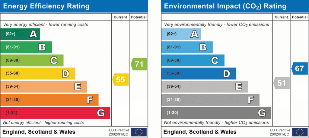
EPC Rating: D
Listed by
Alderley Edge
Mosley Jarman
Reference: 89815599
EPC Rating & Upgrade Cost
Fetching EPC data… Refresh this page in a moment.
Flood risk
Zone: 1
Risk: Low
Job (default Low)
Floorplans
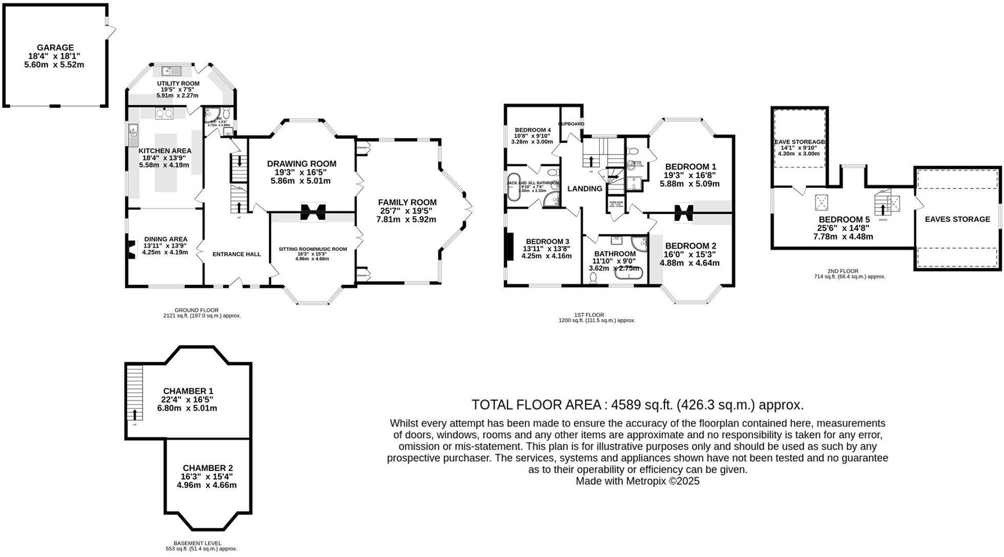
Floorplan 1
EPC Graphs
EPC 1
Price history
225% since 1997
| Event | Date | Price | % change |
|---|---|---|---|
| Listed for sale | — | £1,500,000 | +62.2% |
| Sold | 24/09/2007 (18 years ago) | £925,000 | +224.6% |
| Sold | 25/03/1997 (29 years ago) | £285,000 | — |
Source: HM Land Registry Price Paid Data. Crown copyright.
Sold Comparables
Same street and nearby sales within 0.25 miles (last 5 years). Data from Land Registry Price Paid.
| Address | Price | Date | Type |
|---|---|---|---|
| 47 KNUTSFORD ROAD, CHORLEY, ALDERLEY EDGE, CHESHIRE EAST, SK9 7SH | £405 | 21/03/2025 | Other |
Area average: £405 (1 sale)
Capital growth trend
Land Registry outcode average: last 12 months vs 5y and 10y ago (from sold prices).
House Price Index (HM Land Registry — official index, not sold-price averages): Cheshire East. Series: All dwelling types. As of March 2026.
Rental Range
Estimated market rent for Cheshire East. Low = conservative, Realistic = average, Optimistic = best case.
Based on Local Authority from postcode lookup → Cheshire East.
LHA (30th percentile) floor for West Pennine: £760/mo (Apr 2025 – Mar 2026)
Location
Nearby
Nearest stations, universities and amenities (distance from property).
| Type | Name | Distance |
|---|---|---|
| Bus stop | Chorley, Knutsford Road / Beswicks Lane | 0.1 miles |
| Shop | The Village Store | 0.6 miles |
| Shop | 135 Hairdressing | 0.7 miles |
| Train station | Alderley Edge | 1.2 miles |
| Train station | Wilmslow | 2.1 miles |
| Hospital | Rosemount Resource Centre | 5.9 miles |
| Hospital | Altrincham Hospital | 6.4 miles |
| University | University of Manchester Fallowfield Campus | 9.7 miles |
| University | Fallowfield Reception and Richmond Amenities Building | 9.7 miles |
Street-level crime
| Category | Count |
|---|---|
| Violence and sexual offences | 5 |
| Anti-social behaviour | 1 |
| Criminal damage and arson | 1 |
| Total incidents | 7 |
Within 1 mile during Apr 2026. Source: data.police.uk (England & Wales).
Schools nearby
Nearest open schools with Ofsted ratings (England). Closed schools are not shown. Data from Get Information about Schools and Ofsted.
| Name | Type | Distance | Ofsted |
|---|---|---|---|
| Lindow Community Primary School | Primary | 0.4 miles | Good — 11 Mar 2014 |
| The Ryleys School | Other | 1.0 miles | — (No rating) |
| Ashdene Primary School | Primary | 1.0 miles | Outstanding — 23 Apr 2019 |
| Alderley Edge Community Primary School | Primary | 1.1 miles | — (Inspected (no overall grade)) |
| Alderley Edge School for Girls | Other | 1.1 miles | — (No rating) |
Rental Comparables
Loading rental comparables for this postcode. Refresh in a few minutes.
Rent-driven metrics
Based on Area rent estimate.
- Rent ratio — Monthly rent ÷ purchase price (1% rule). 1%+ = strong, 0.8–1% = okay, <0.8% = weak for cashflow.
- Max investor price — Rent ÷ 0.8%; the price at which rent would be 0.8% of price (Stoke-style target).
- Target investor price — Rent ÷ 1%; the price at which rent would be 1% of price (strong cashflow band).
- Gross yield — Annual rent as % of purchase price (no costs).