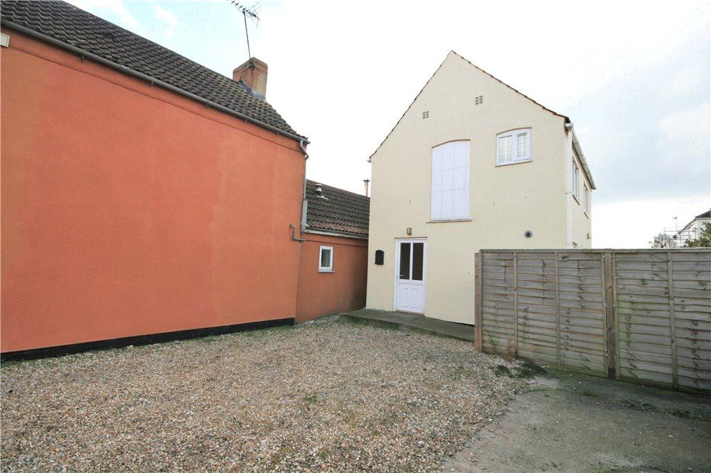
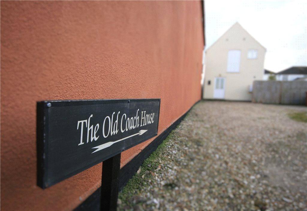
THE COACH HOUSE
WEST STREET, LINCOLN, BILLINGHAY, LINCOLNSHIRE LN4 4HP
£475 pcm


Property details
Floor area
61 m²
EPC rating
G
Year built
England and Wales: before 1900
Deprivation
Decile 3 (8,148 of 33,755)
Street crime
6 incidents within 1 mile (Mar 2026)
Key features
- Sympathetically Converted Coach House
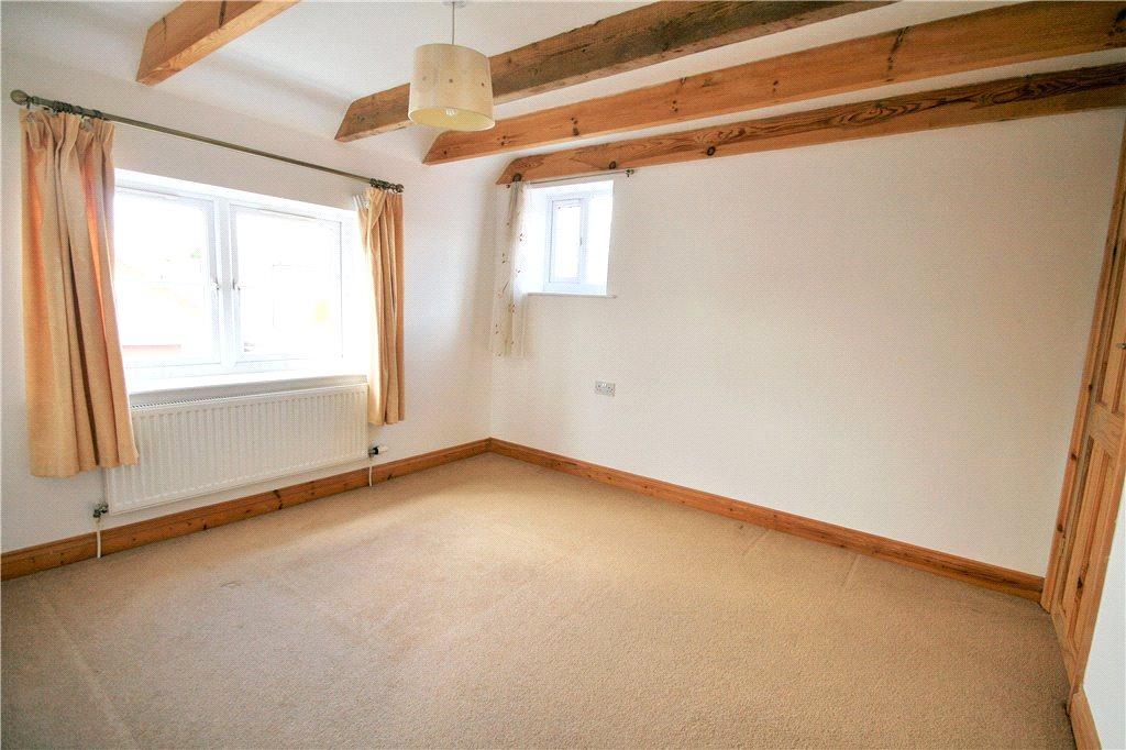
- Two Double Bedrooms & Bathroom
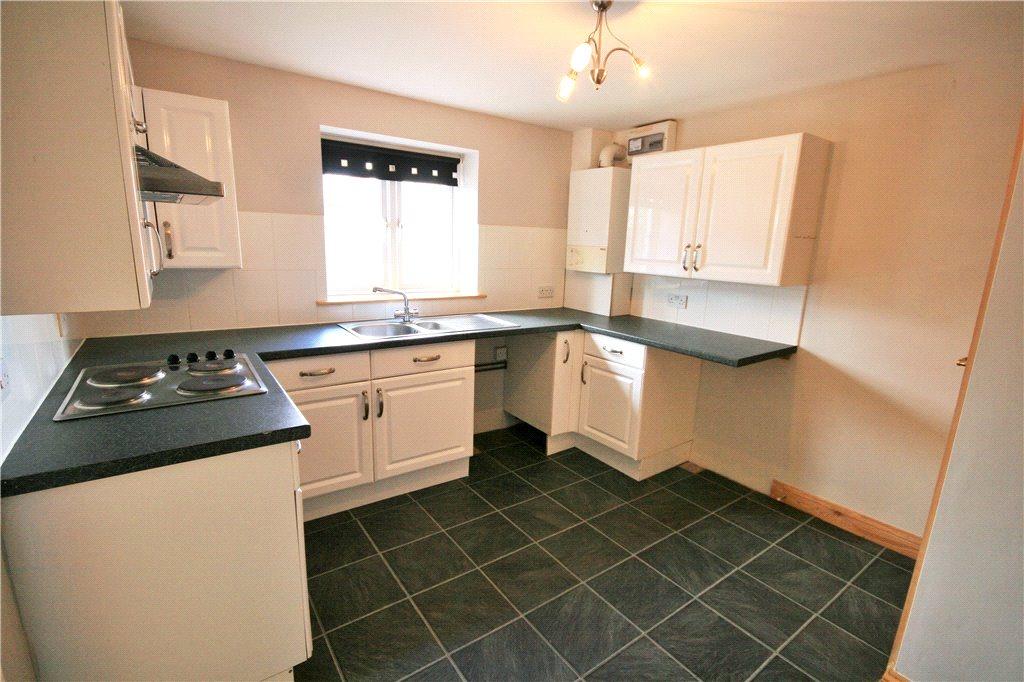
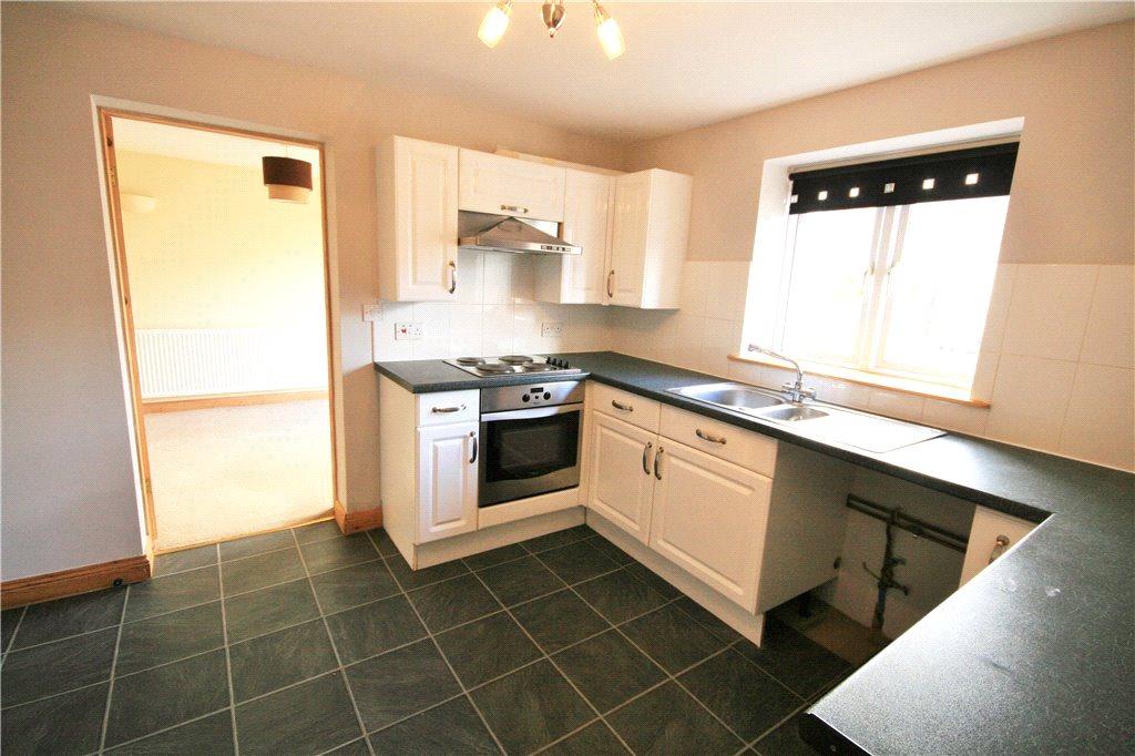
- Living Room & Breakfast Kitchen
- Low Maintenance Garden & Driveway
- uPVC Double Glazing & Gas Central Heating
- No Pets, Available Now
- EPC Rating E, Deposit £715.00
Additional details
- Parking
- Yes
- Garden
- Yes
Description
Listed by
Sleaford
Pygott & Crone
Reference: 56701290
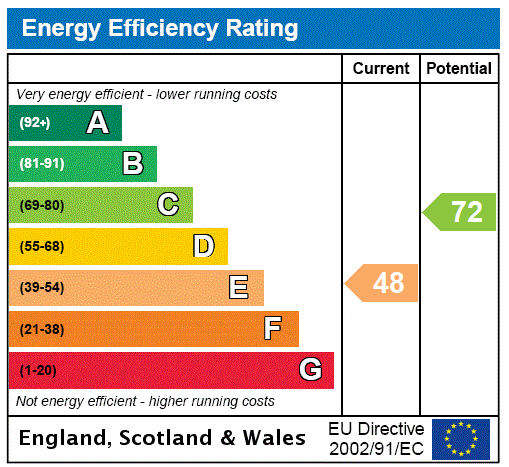
EPC Rating & Upgrade Cost
Current rating: G
Potential rating: C
Inspection date: 08/10/2020
Current heating cost: £1,871/year
Potential heating cost: £543/year
Est. upgrade cost to C: £28,350
Recommendations
- 50 mm internal or external wall insulation (£4,000 - £14,000)
- Floor insulation (solid floor) (£4,000 - £6,000)
- Upgrade heating controls (£350 - £450)
- Replace boiler with new condensing boiler (£2,200 - £3,000)
- Flue gas heat recovery in conjunction with boiler (£400 - £900)
- Solar water heating (£4,000 - £6,000)
- Replacement glazing units (£1,000 - £1,400)
- Solar photovoltaic panels, 2.5 kWp (£3,500 - £5,500)
Flood risk
Zone: 1
Risk: Low
Job (default Low)
EPC Graphs
EPC Rating Graph
Rental Range
Estimated market rent for North Kesteven. Low = conservative, Realistic = average, Optimistic = best case.
Based on Local Authority from postcode lookup → North Kesteven.
LHA (30th percentile) floor for Lincoln: £598/mo (Apr 2025 – Mar 2026)
Location
Address
West Street
Nearby
Nearest stations, universities and amenities (distance from property).
| Type | Name | Distance |
|---|---|---|
| Bus stop | Ship Inn | 0.2 miles |
| Bus stop | Park Lane | 0.2 miles |
| Shop | Get Ahead Hats | 1.8 miles |
| Shop | Malcolm Padley & Sons | 3.3 miles |
| Train station | Ruskington | 5.0 miles |
| Train station | Metheringham | 6.2 miles |
| Hospital | Rauceby Hospital | 9.9 miles |
| Hospital | Horncastle War Memorial Hospital | 11.3 miles |
Street-level crime
| Category | Count |
|---|---|
| Violence and sexual offences | 4 |
| Anti-social behaviour | 1 |
| Other theft | 1 |
| Total incidents | 6 |
Within 1 mile during Mar 2026. Source: data.police.uk (England & Wales).
Schools nearby
Nearest open schools with Ofsted ratings (England). Closed schools are not shown. Data from Get Information about Schools and Ofsted.
| Name | Type | Distance | Ofsted |
|---|---|---|---|
| The Billinghay Church of England Primary School | Primary | 0.2 miles | Good — 19 Sep 2023 |
| Walcott Primary School | Primary | 1.8 miles | Good — 21 Sep 2023 |
| Mrs Mary King's CofE (Controlled) Primary School | Primary | 3.7 miles | Good — 28 Mar 2023 |
Rental Comparables
Loading rental comparables for this postcode. Refresh in a few minutes.