Sy13 2Jj
SY13 2JJ
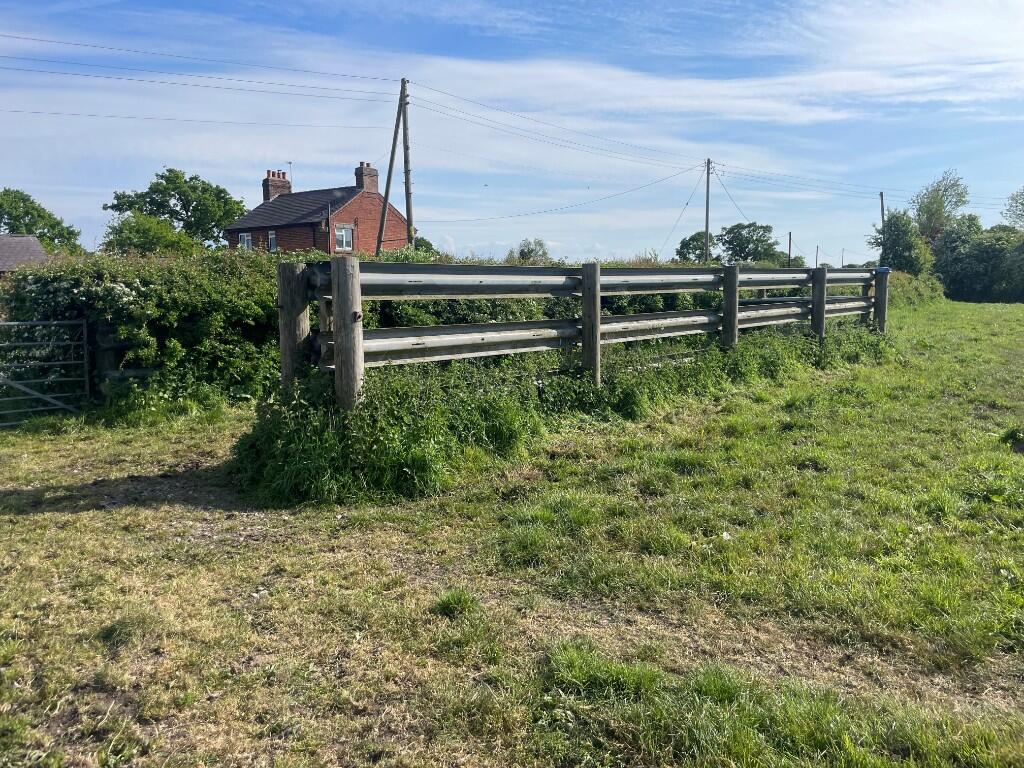
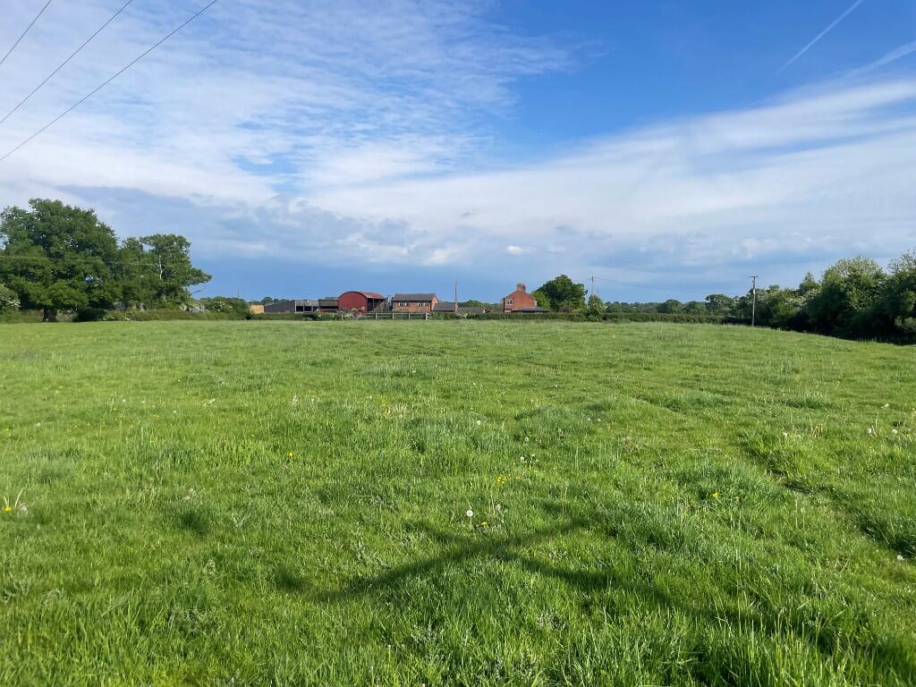
Photo 1 Photo 2 Photo 3 Photo 4 Photo 5 Photo 6 Photo 7 Photo 8 Photo 9 Photo 10 Photo 11 Photo 12 Photo 13 Photo 14 Photo 15 Photo 16 Photo 17 Photo 18 Photo 19 Photo 20 Photo 21 Photo 22 Photo 23 Photo 24 Photo 25 Photo 26
/ 26
EPC ratings on this postcode
We don't have a matched EPC for this property yet. Below are efficiency scores and details for other addresses on this postcode.
| Address | Current | Potential | Floor area | Age band | Type |
|---|---|---|---|---|---|
| Border House, The Chequer, Bronington | 74 | 82 | 151 m² | England and Wales: 2007 onwards | House |
| Border House, The Chequer, Bronington, WHITCHURCH | 74 | 82 | 151 m² | England and Wales: 2007-2011 | Detached |
| Greenacres, The Chequer, Bronington | 49 | 58 | 83 m² | England and Wales: 1950-1966 | House |
| Meadow View, The Chequer, Bronington | 60 | 70 | 76 m² | England and Wales: 1991-1995 | House |
| Meadow View, The Chequer, Bronington | 61 | 76 | 116 m² | England and Wales: 1983-1990 | House |
| Meadow View, The Chequer, Bronington, WHITCHURCH | 61 | 76 | 116 m² | — | Detached |
| Ponderosa, The Chequer, Bronington | 68 | 81 | 118 m² | England and Wales: 1950-1966 | Bungalow |
| Ponderosa, The Chequer, Bronington, WHITCHURCH | 68 | 81 | 118 m² | England and Wales: 1950-1966 | Detached |
| Ruscoe Cottage, The Chequer, Bronington | 53 | 61 | 109 m² | England and Wales: 1900-1929 | House |
| Ruscoe Farm, The Chequer | 31 | 75 | 241 m² | England and Wales: before 1900 | House |
| Ruscoe Farm, The Chequer, Bronington, WHITCHURCH | 45 | 78 | 238 m² | England and Wales: before 1900 | Detached |
| Ruscoe Farm, The Chequer, WHITCHURCH | 31 | 75 | 241 m² | England and Wales: before 1900 | Detached |
| Ruscoe House, The Chequer, Bronington | 49 | 71 | 189 m² | England and Wales: before 1900 | House |
| Ruscoe House, The Chequer, Bronington | 29 | 47 | 185 m² | England and Wales: before 1900 | House |
| Ruscoe House, The Chequer, Bronington, WHITCHURCH | 49 | 71 | 189 m² | England and Wales: before 1900 | Detached |
Flood risk
Zone: 1
Risk: Low
Not in Flood Risk Area (no data)
EPC Graphs

EPC
Price history
No sales history found for this property in Land Registry Price Paid data.
Sold Comparables
Same street and nearby sales within 0.25 miles (last 5 years). Data from Land Registry Price Paid.
| Address | Price | Date | Type |
|---|---|---|---|
| RUSCOE HOUSE THE CHEQUER, BRONINGTON, WHITCHURCH, WREXHAM, SY13 2JJ | £725,000 | 16/07/2025 | Detached |
| RUSCOE HOUSE THE CHEQUER, BRONINGTON, WHITCHURCH, WREXHAM, SY13 2JJ | £725,000 | 16/07/2025 | Other |
Area average: £725,000 (2 sales)
Capital growth trend
Land Registry outcode average: last 12 months vs 5y and 10y ago (from sold prices).
House Price Index (HM Land Registry — official index, not sold-price averages): Wrexham. Series: All dwelling types. As of March 2026.
Rental Range
Estimated market rent for Wrexham. Low = conservative, Realistic = average, Optimistic = best case.
Based on Local Authority from postcode lookup → Wrexham.
LHA (30th percentile) floor for Wigan: £773/mo (Apr 2025 – Mar 2026)
Location
Nearby
Nearest stations, universities and amenities (distance from property).
| Type | Name | Distance |
|---|---|---|
| Shop | Unknown | 0.7 miles |
| Shop | J Roberts | 2.2 miles |
| Bus stop | Agden, B5395 / Agden Lane | 2.5 miles |
| Bus stop | Aldi | 2.5 miles |
| Hospital | Whitchurch Community Hospital | 3.5 miles |
| Train station | Whitchurch | 3.8 miles |
| Hospital | Penley Hospital | 4.5 miles |
| Train station | Prees | 5.2 miles |
Street-level crime
Crime data is not yet available for this property.
Rental Comparables
Loading rental comparables for this postcode. Refresh in a few minutes.
Enter House Number
Enter the house number to help us retrieve more accurate pricing history and property data.
Please log in to submit or correct the house number for this listing.
Log in to continue