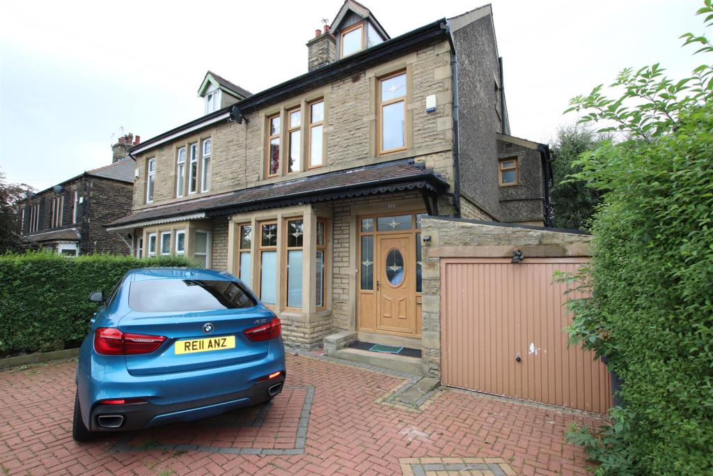
515 IDLE ROAD
BRADFORD, WEST YORKSHIRE BD2 2AY
Property details
Floor area
135 m²
EPC rating
D
Year built
England and Wales: 1930-1949
Deprivation
Decile 1 (2,847 of 33,755)
Street crime
382 incidents within 1 mile (Apr 2026)
Key features
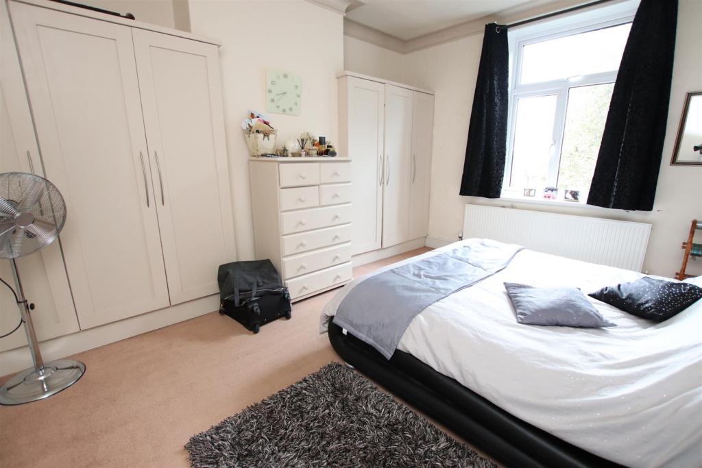
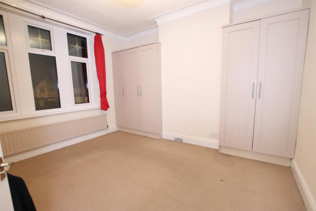
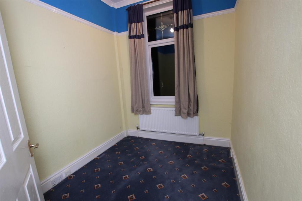
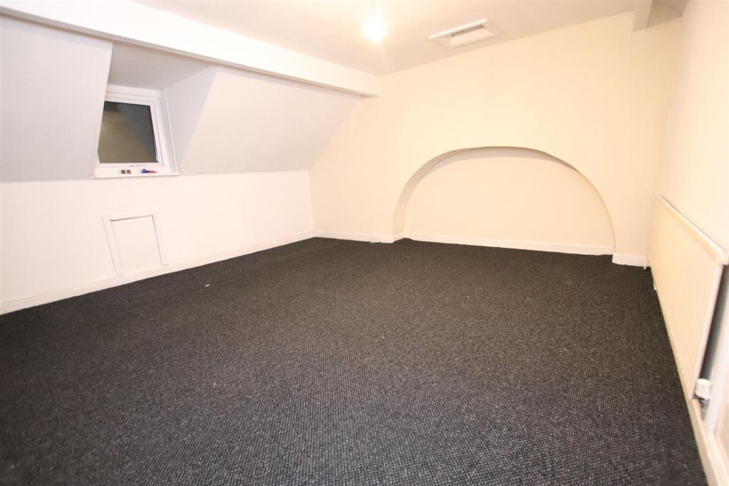
- *FOUR BEDROOMS*
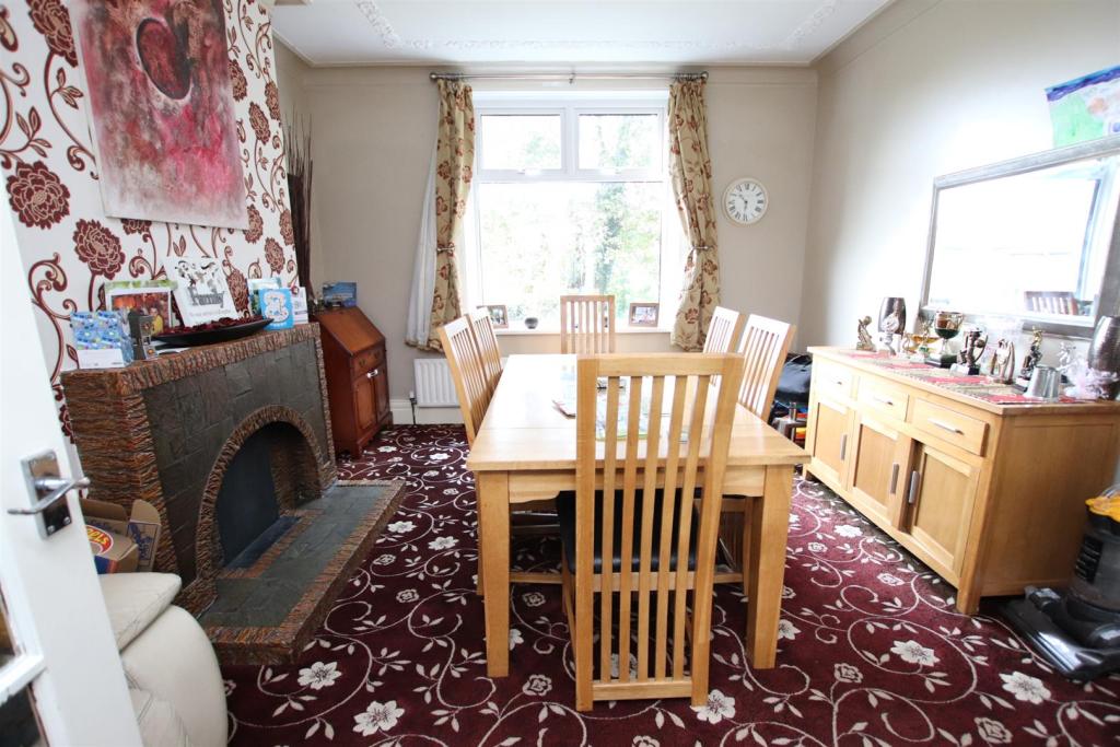
- *TWO RECEPTION ROOMS*
- *EXCELLENT LOCATION*
- *LOVELY FAMILY HOME*
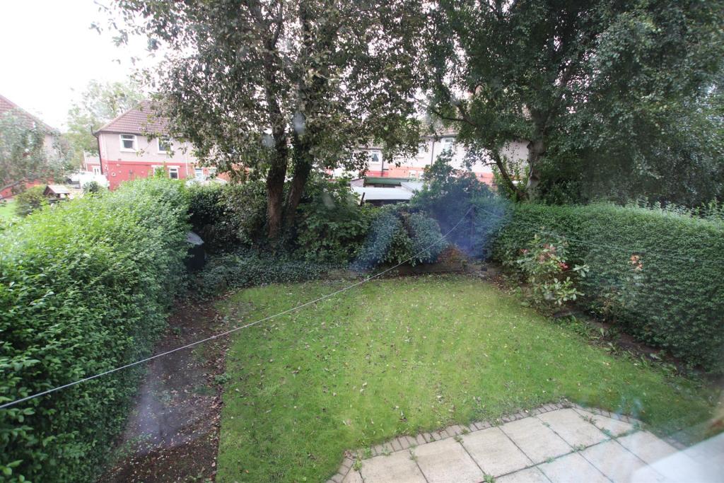
- *GARDEN*
- *PARKING*
- *GARAGE*
Additional details
- Parking
- Yes
- Garden
- Yes
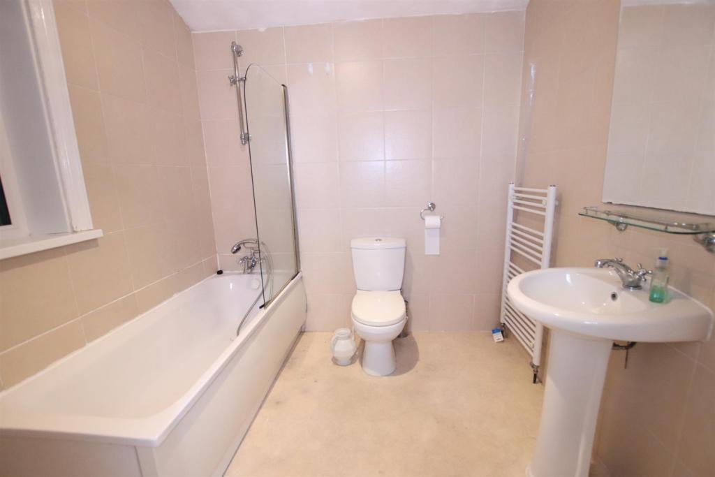
Description
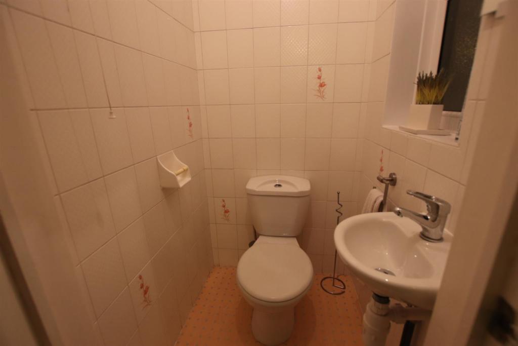
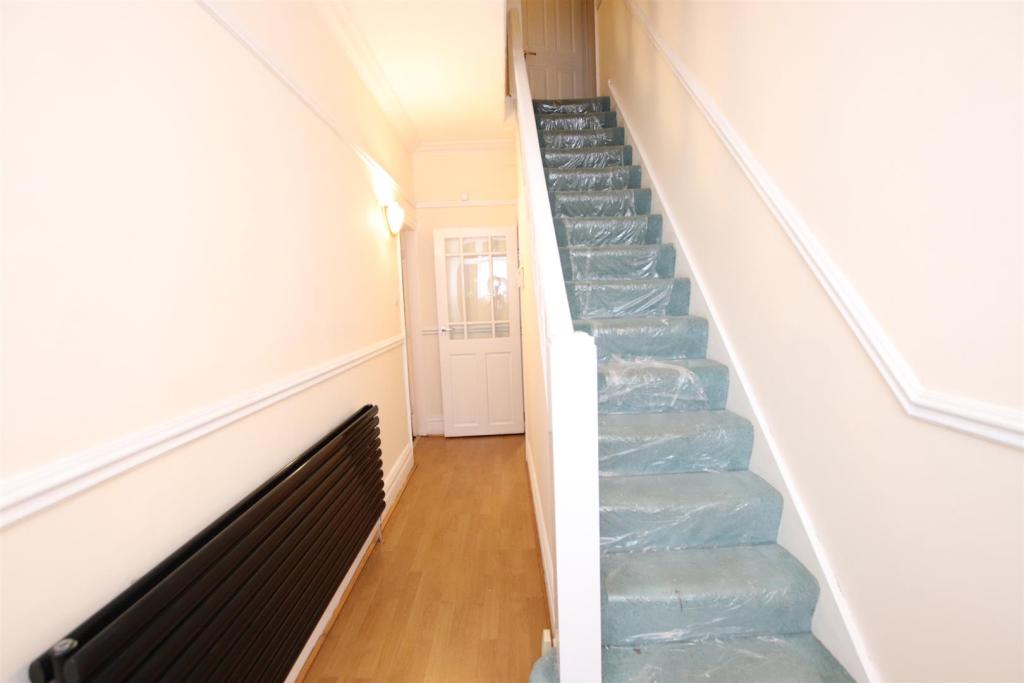
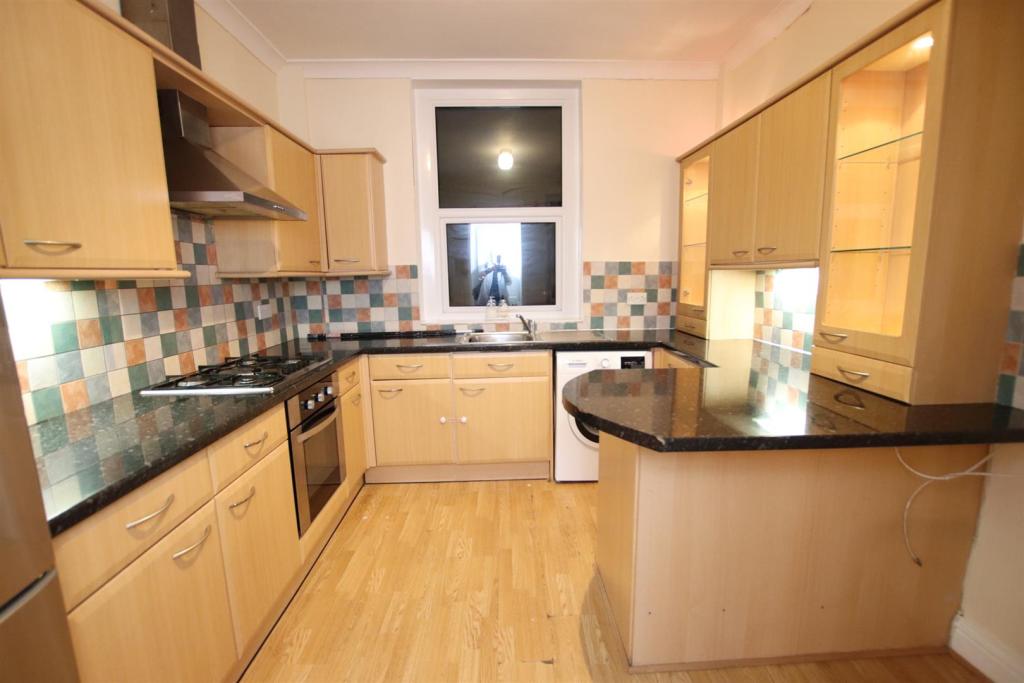
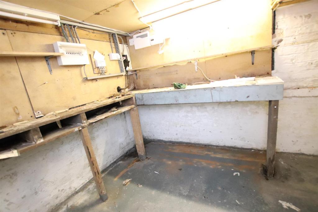
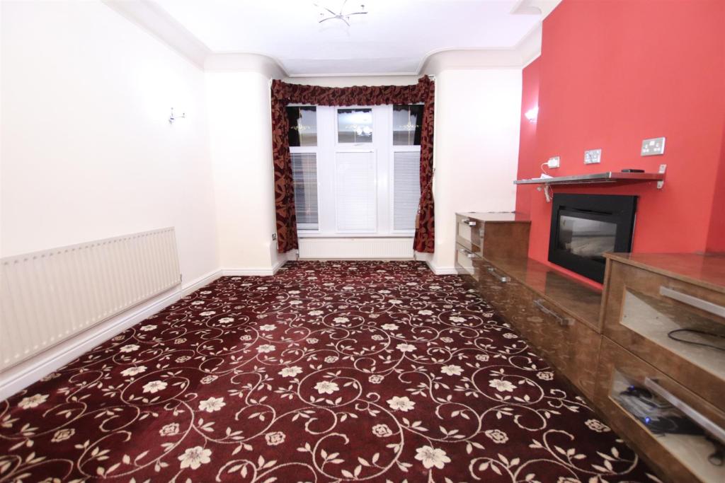
Townend Estate Agents offer to let this FOUR bedroom semi-detached property. Located close to local schools, amenities and with easy access to Bradford city centre. The property benefits from TWO reception rooms and would make a lovely family home. With driveway parking, garage and gardens this is a rental property not to be missed.
Listed by
Bradford
Townend Estate Agents
Reference: 65794002
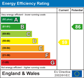
EPC Rating & Upgrade Cost
Current rating: D
Potential rating: B
Inspection date: 21/12/2017
Expiry date: 20/12/2027
Est. upgrade cost to C: £23,625
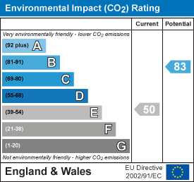
Recommendations
- Room-in-roof insulation (£1,500 - £2,700)
- 50 mm internal or external wall insulation (£4,000 - £14,000)
- Floor insulation (suspended floor) (£800 - £1,200)
- Low energy lighting for all fixed outlets (£25)
- Solar water heating (£4,000 - £6,000)
- Solar photovoltaic panels, 2.5 kWp (£5,000 - £8,000)
Flood risk
Zone: 1
Risk: Low
Job (default Low)
EPC Graphs
EE Rating
EI Rating
Rental Range
Estimated market rent for Bradford. Low = conservative, Realistic = average, Optimistic = best case.
Based on Local Authority from postcode lookup → Bradford.
LHA (30th percentile) floor for Bradford & South Dales: £748/mo (Apr 2025 – Mar 2026)
Location
Nearby
Nearest stations, universities and amenities (distance from property).
| Type | Name | Distance |
|---|---|---|
| Bus stop | Idle Road Norman Grove | 0.0 miles |
| Shop | Unknown | 0.3 miles |
| Hospital | Eccleshill NHS Treatment Centre | 1.0 miles |
| Train station | Frizinghall | 1.3 miles |
| Train station | Shipley | 1.7 miles |
| Hospital | Moorlands View | 2.9 miles |
| University | Leeds Trinity University | 4.2 miles |
| University | Kirkstall Brewery Residences | 5.2 miles |
Street-level crime
| Category | Count |
|---|---|
| Violence and sexual offences | 159 |
| Anti-social behaviour | 74 |
| Criminal damage and arson | 39 |
| Public order | 26 |
| Shoplifting | 21 |
| Drugs | 16 |
| Burglary | 13 |
| Other theft | 12 |
| Vehicle crime | 11 |
| Other crime | 7 |
| Possession of weapons | 2 |
| Robbery | 2 |
| Total incidents | 382 |
Within 1 mile during Apr 2026. Source: data.police.uk (England & Wales).
Schools nearby
Nearest open schools with Ofsted ratings (England). Closed schools are not shown. Data from Get Information about Schools and Ofsted.
| Name | Type | Distance | Ofsted |
|---|---|---|---|
| Swain House Primary School | Primary | 0.2 miles | Good — 1 Nov 2011 |
| St Francis Catholic Primary School, A Voluntary Academy | Primary | 0.3 miles | Good — 7 Feb 2013 |
| Hanson Academy | Secondary | 0.3 miles | Inadequate — 2 Jul 2020 |
| Grove House Primary School | Primary | 0.4 miles | Good — 21 Nov 2023 |
| Blakehill Primary School | Primary | 0.5 miles | Good — 2 Oct 2022 |
Rental Comparables
Rental comparables are temporarily unavailable while listing-site fetches are paused. Try again later.