28 CROWN STREET
CHESTERFIELD, CLOWNE, DERBYSHIRE S43 4DN
£725 pcm
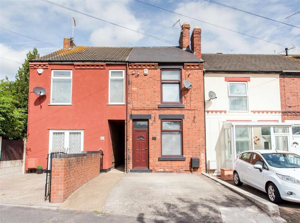
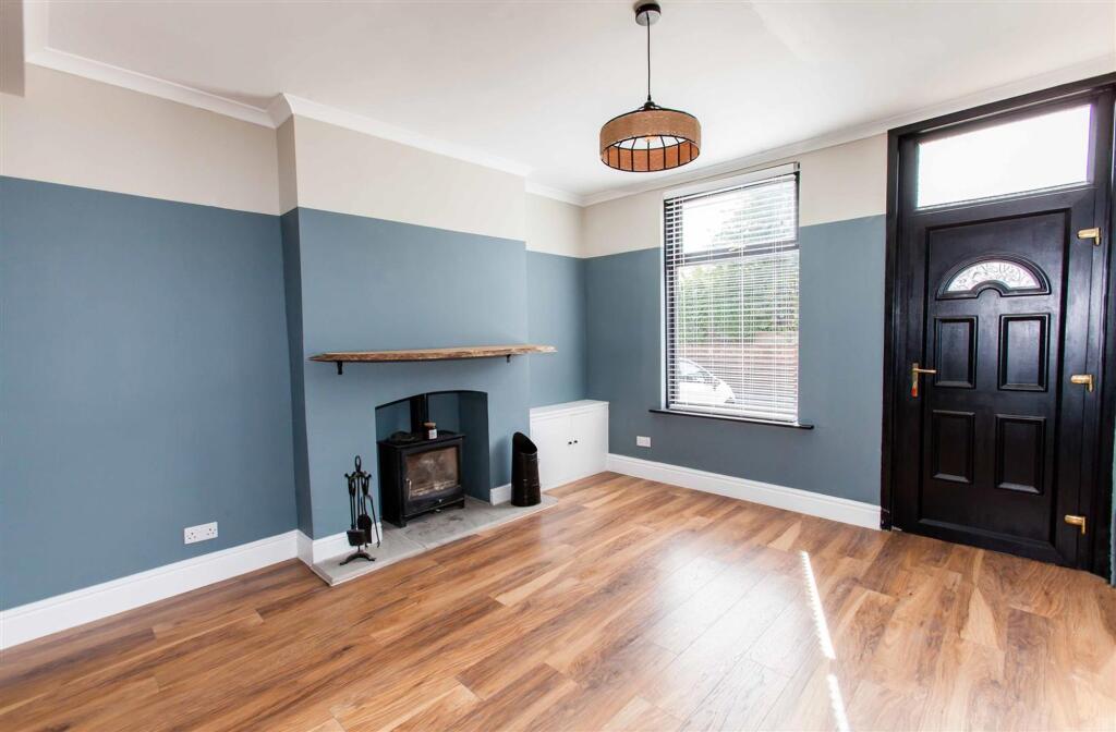
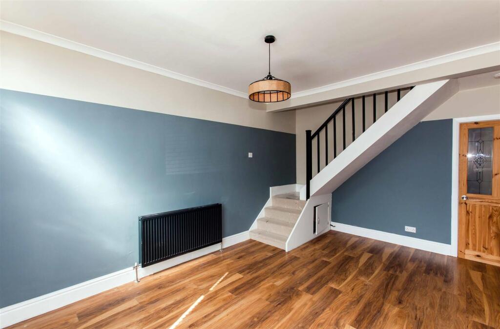
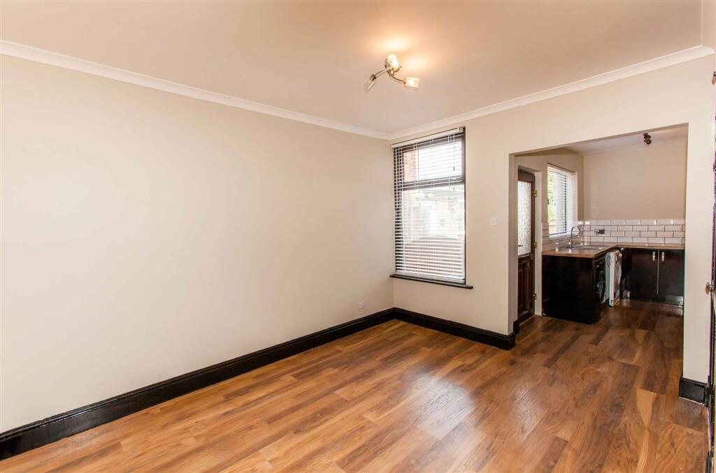
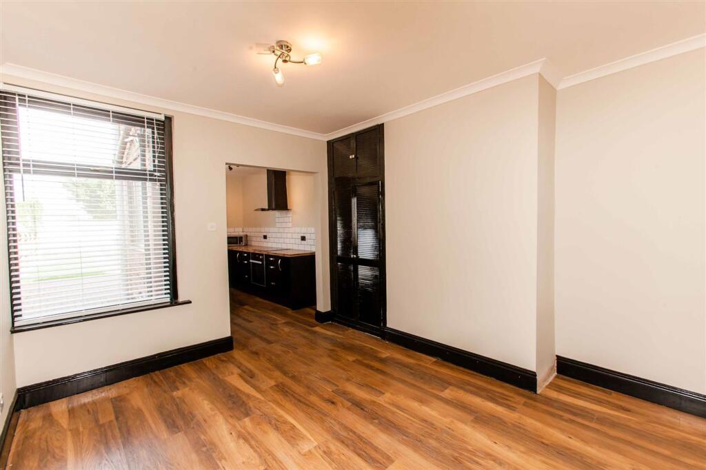
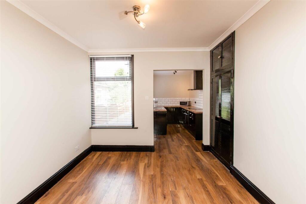
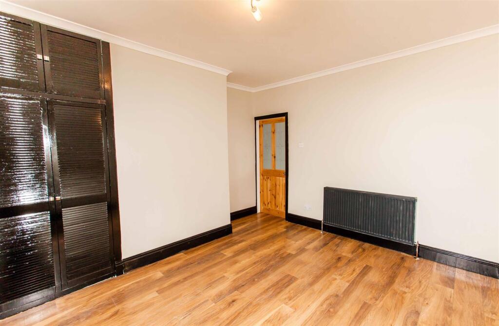
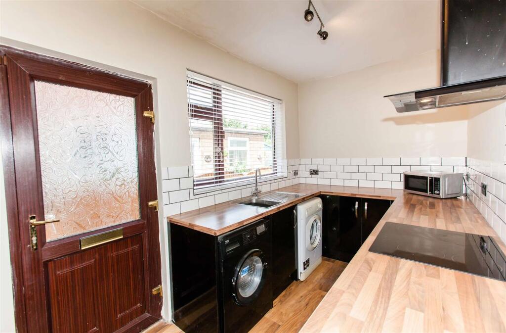


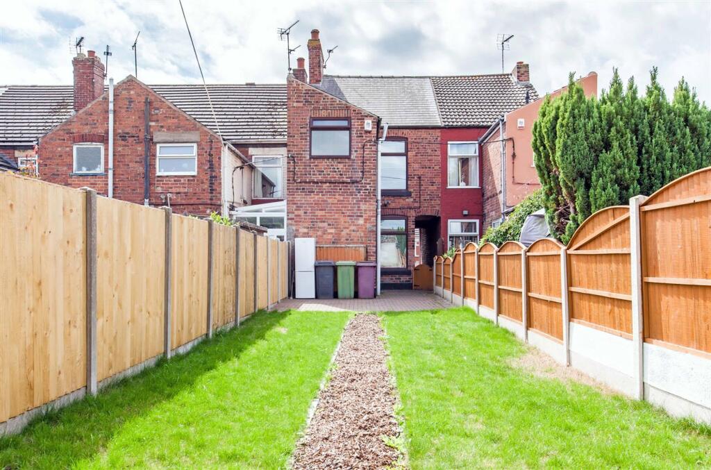
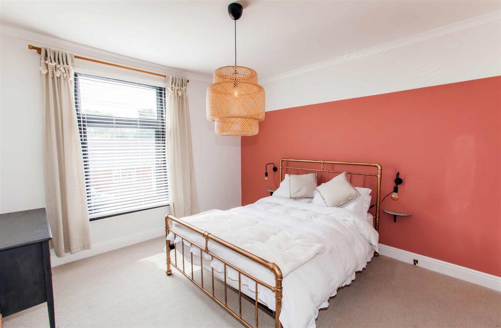
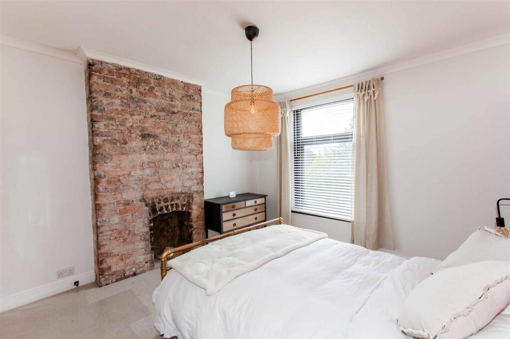


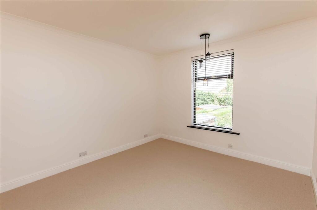
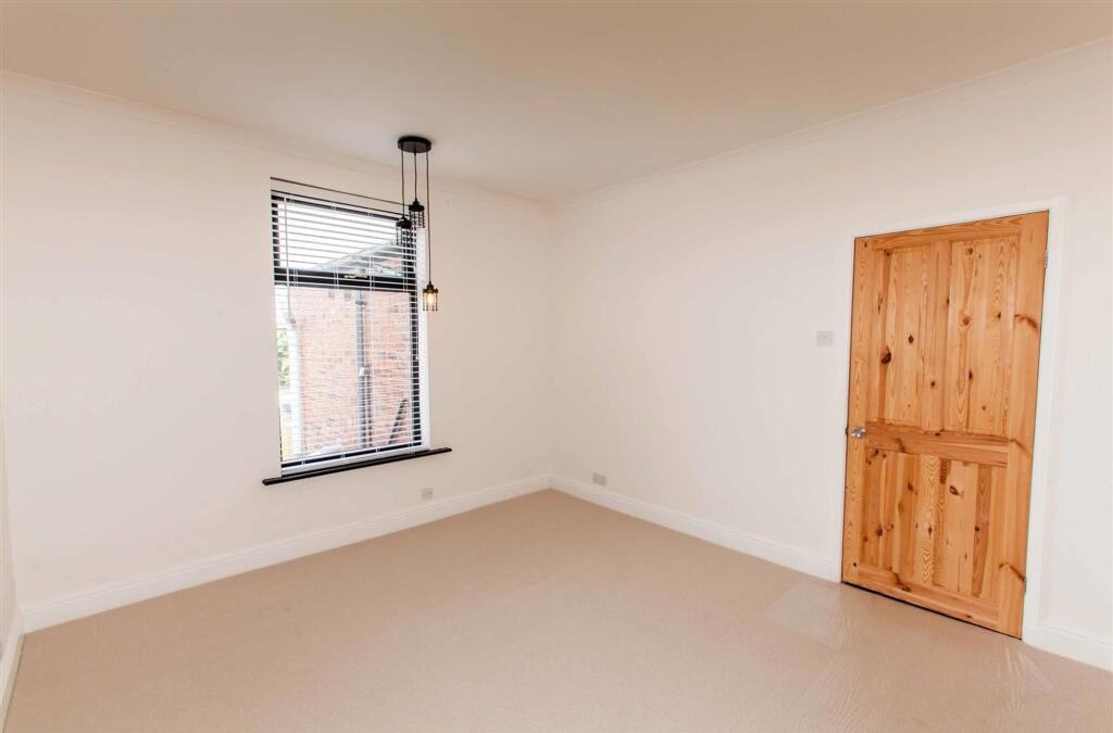
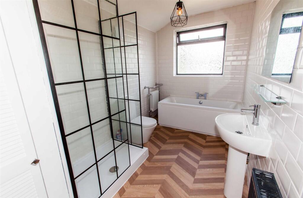
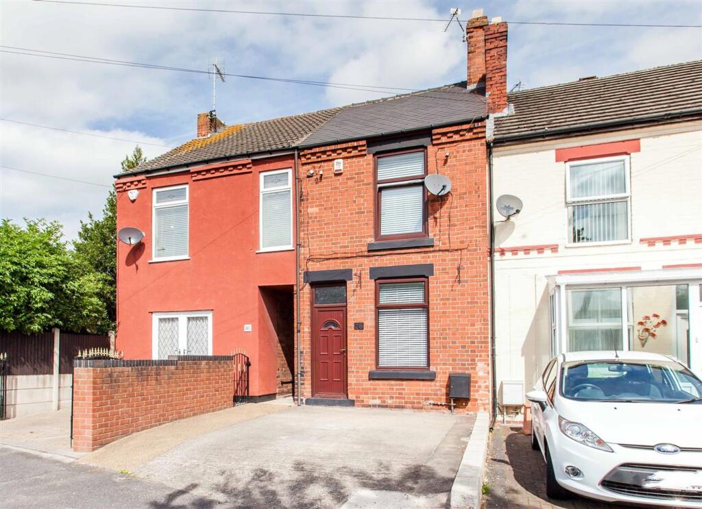
Photo 1 Photo 2 Photo 3 Photo 4 Photo 5 Photo 6 Photo 7 Photo 8 Photo 9 Photo 10 Photo 11 Photo 12 Photo 13 Photo 14 Photo 15 Photo 16 Photo 17 Photo 18 Photo 19 Photo 20
/ 20
Property details
Floor area
84 m²
Council tax band
A
EPC rating
D
Street crime
70 incidents within 1 mile (Apr 2026)
Key features
- Available Now
- Sought After Location
- Close to Local Shops, Amenities and Transport Links
- Off Road Parking
- Enclosed Rear Garden
- Spacious Accommodation
- Unfurnished
- Bond £725
- Applicants will be subject to credit and affordability checks
- Beautifully Presented
Additional details
- Parking
- Off street
- Garden
- Private garden
- Listed property
- No
- Restrictions
- No
- Required access
- No
- Rights of way
- No
- Flooded in last 5 years
- No
- Flood defences
- No
Description
In summary, this two-bedroom mid-terraced house is a rare find that combines modern comfort with traditional charm.
EPC Rating: D
Listed by
Bolsover
T Wilson Estate Agents Limited
Reference: 170302865
EPC Rating & Upgrade Cost
Current rating: D
Potential rating: B
Inspection date: 29/11/2019
Expiry date: 28/11/2029
Current heating cost: £665/year
Potential heating cost: £354/year
Recommendations
- 50 mm internal or external wall insulation (14,000)
- Floor insulation (solid floor) (6,000)
- Replace boiler with new condensing boiler (3,000)
- Solar water heating (6,000)
- Replacement glazing units (1,400)
- Solar photovoltaic panels, 2.5 kWp (5,500)
Flood risk
Zone: 1
Risk: Low
Job (default Low)
Floorplans

All
Rental Range
Estimated market rent for Bolsover. Low = conservative, Realistic = average, Optimistic = best case.
Based on Local Authority from postcode lookup → Bolsover.
LHA (30th percentile) floor for Chesterfield: £524/mo (Apr 2025 – Mar 2026)
Location
Nearby
Nearest stations, universities and amenities (distance from property).
| Type | Name | Distance |
|---|---|---|
| Shop | Church Street Antiques and Collectibles | 0.1 miles |
| Bus stop | Angel Inn | 0.1 miles |
| Bus stop | Clowne Tesco | 0.2 miles |
| Shop | Amber Crafts and Haberdashery | 0.5 miles |
| Train station | Creswell | 2.1 miles |
| Train station | Whitwell | 2.7 miles |
| University | The University of Sheffield AMRC | 9.1 miles |
| Hospital | Clay Cross Hospital | 9.4 miles |
| Hospital | Kings Mill Hospital | 9.5 miles |
| University | Nottingham Trent University Vision University Centre | 10.9 miles |
Street-level crime
| Category | Count |
|---|---|
| Violence and sexual offences | 26 |
| Anti-social behaviour | 15 |
| Public order | 11 |
| Shoplifting | 5 |
| Criminal damage and arson | 4 |
| Other theft | 4 |
| Bicycle theft | 1 |
| Drugs | 1 |
| Other crime | 1 |
| Possession of weapons | 1 |
| Vehicle crime | 1 |
| Total incidents | 70 |
Within 1 mile during Apr 2026. Source: data.police.uk (England & Wales).
Schools nearby
Nearest open schools with Ofsted ratings (England). Closed schools are not shown. Data from Get Information about Schools and Ofsted.
| Name | Type | Distance | Ofsted |
|---|---|---|---|
| Clowne Infant and Nursery School | Primary | 0.1 miles | Good — 18 Jun 2024 |
| Clowne Junior School | Primary | 0.1 miles | Good — 2 Dec 2021 |
| New Direction | Other | 0.2 miles | Good — 23 Nov 2023 |
| Heritage High School | Secondary | 0.4 miles | Good — 26 Nov 2023 |
| Barlborough Primary School | Primary | 1.6 miles | Good — 16 Jun 2011 |
Rental Comparables
Residential lets from OpenRent and Rightmove for the area (same bedroom count). Use to validate rent estimates. Student lets are excluded.
| Title | Rent | Beds | Distance | As seen on |
|---|---|---|---|---|
| 2 Bed Flat, High Street, S43 | £600/mo | 2 | 0.11 miles | OpenRent |
| 2 Bed Terraced House, Boughton Lane, S43 | £750/mo | 2 | 0.17 miles | OpenRent |
| 2 Bed Terraced House, Boughton Lane, S43 | £785/mo | 2 | 0.21 miles | OpenRent |
| 2 Bed Semi-Detached House, Rectory Road, S43 | £880/mo | 2 | 0.22 miles | OpenRent |
| 2 Bed Flat, Chapel Close, S43 | £650/mo | 2 | 0.38 miles | OpenRent |
| 2 Bed Terraced House, Barlborough Road, S43 | £850/mo | 2 | 0.48 miles | OpenRent |
| 2 Bed Terraced House, Barlborough Road, S43 | £725/mo | 2 | 0.49 miles | OpenRent |
Average rent: £749/mo (7 listings)