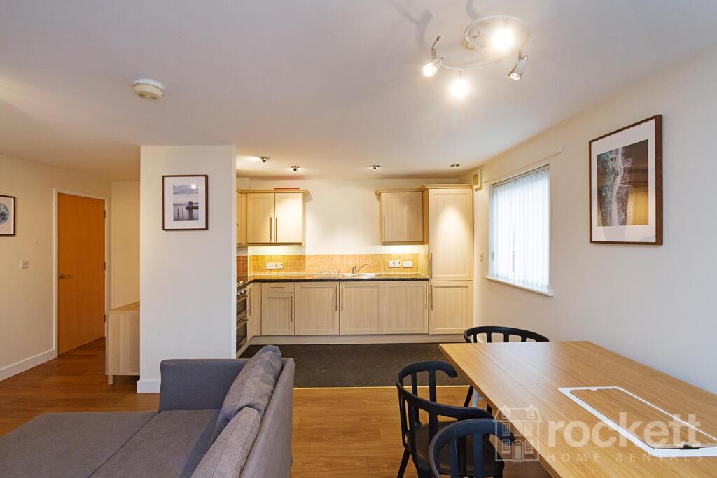
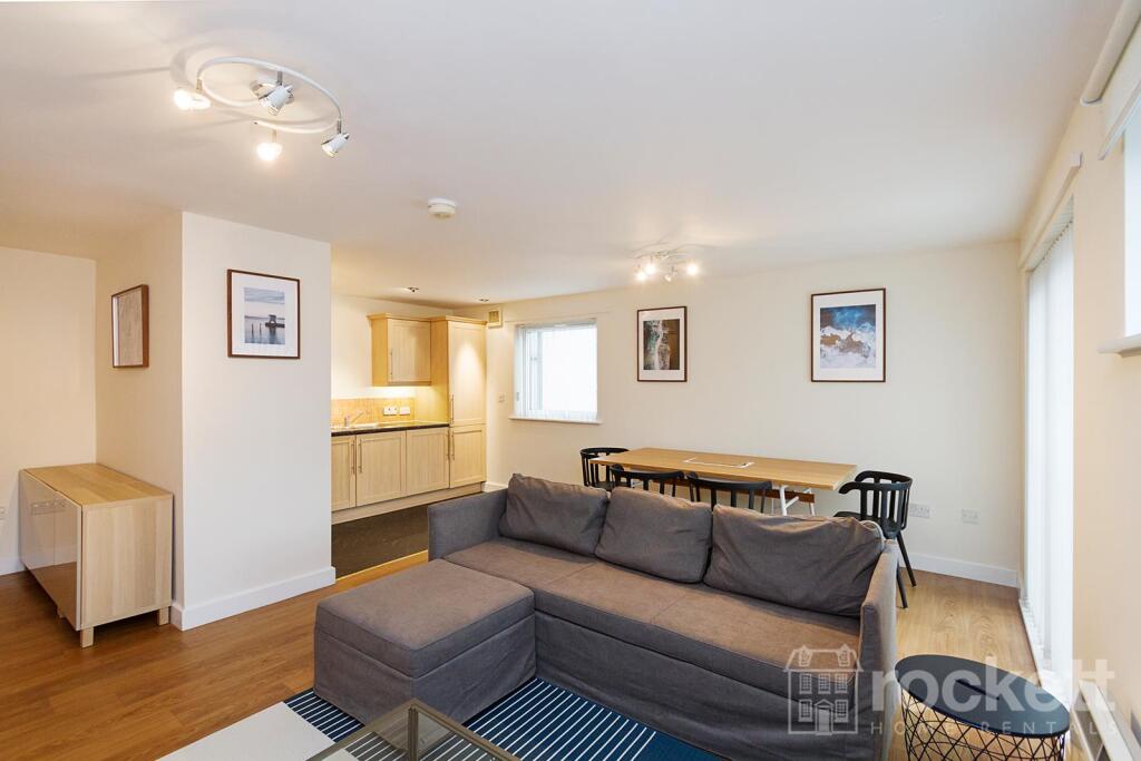
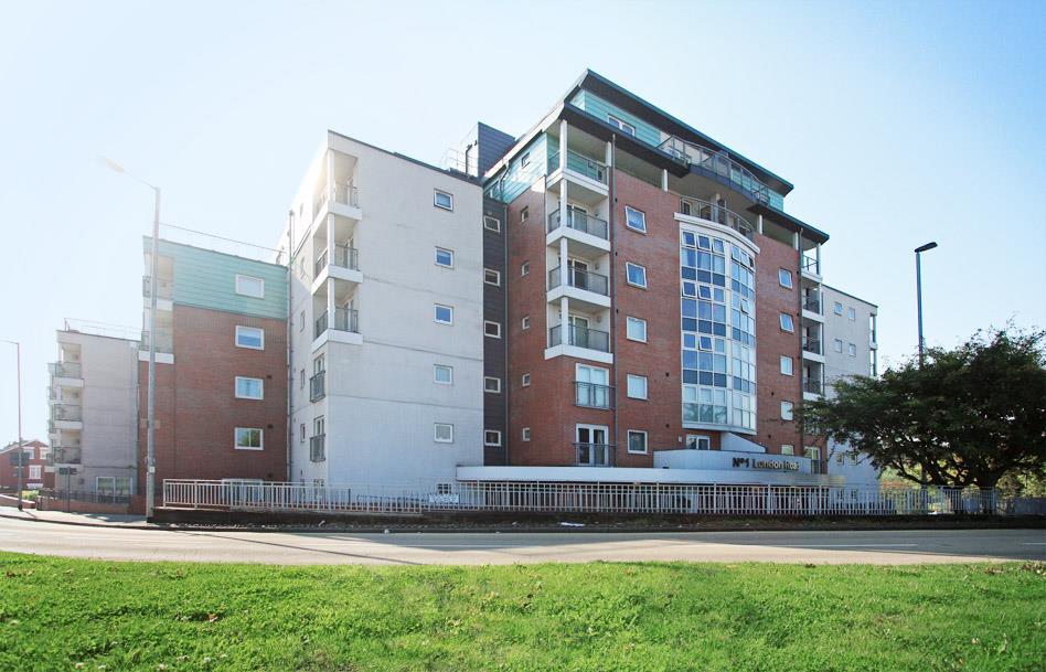
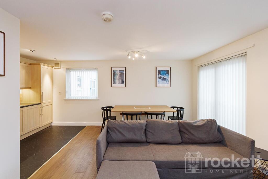
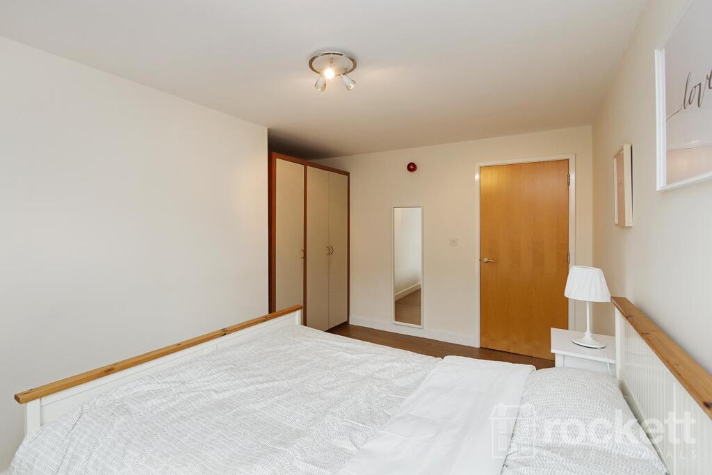
FLAT 8
TRINITY COURT, LONDON ROAD, NEWCASTLE, STAFFORDSHIRE ST5 1LA
£995 pcm

08_Trinity_gwi_3108E 08_Trinity_gwi_3097E IMG_0050bweb.jpg 08_Trinity_gwi_3092E 08_Trinity_gwi_3088E 08_Trinity_gwi_3099E 08_Trinity_gwi_3106E 08_Trinity_gwi_3127E 08_Trinity_gwi_3129E 08_Trinity_gwi_3134E 08_Trinity_gwi_3135E 08_Trinity_gwi_3137E 08_Trinity_gwi_3150E 08_Trinity_gwi_3049E 08_Trinity_gwi_3054E 08_Trinity_gwi_3066E 08_Trinity_gwi_3050E 08_Trinity_gwi_3067E 08_Trinity_gwi_3071E 08_Trinity_gwi_3074E 08_Trinity_gwi_3079E 29 Windsor Court (8) 29 Windsor Court (10 london rd garden 132 Picture No. 29
/ 25
Property details
Floor area
82 m²
Council tax band
B
Deprivation
Decile 4 (10,391 of 33,755)
Street crime
386 incidents within 1 mile (Mar 2026)
Additional details
- Parking
- Allocated
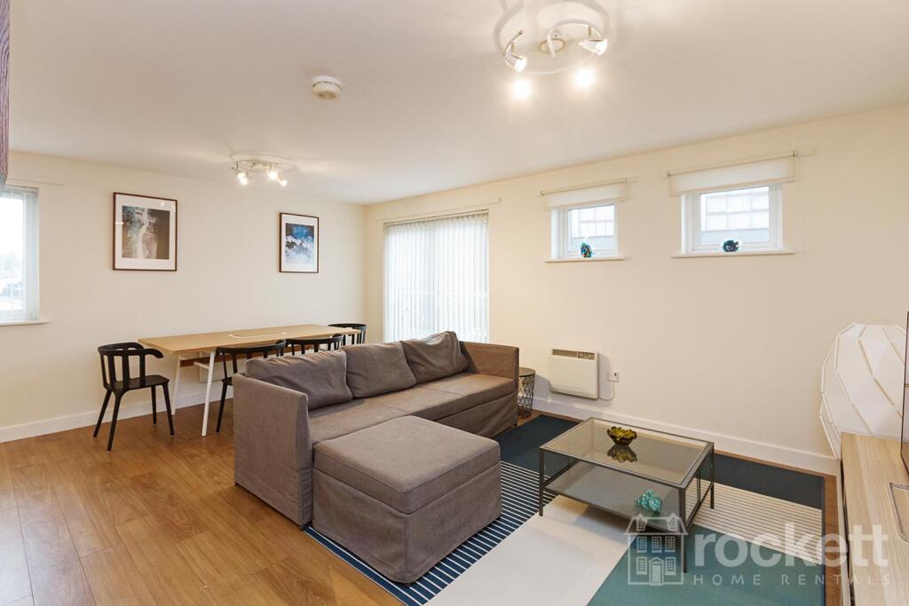
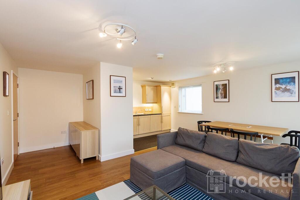
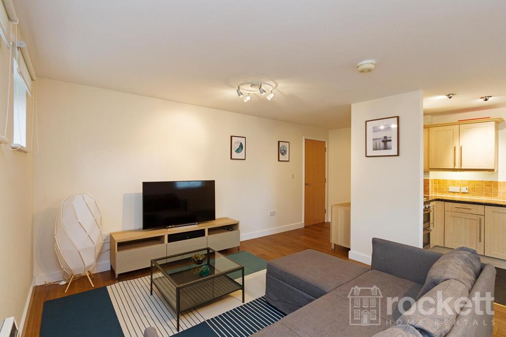
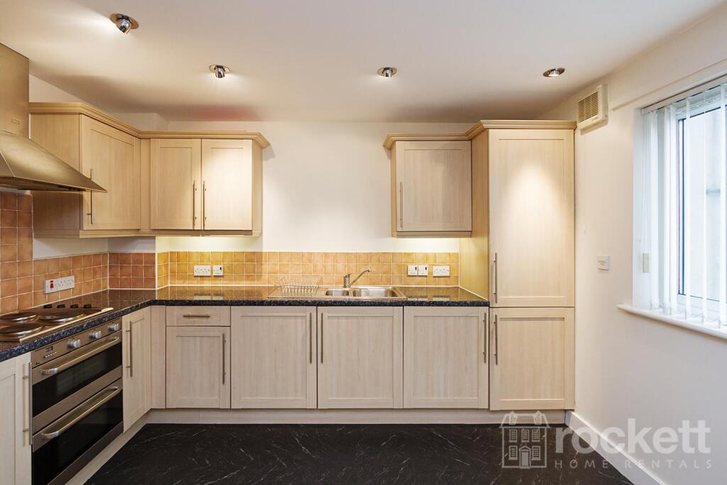
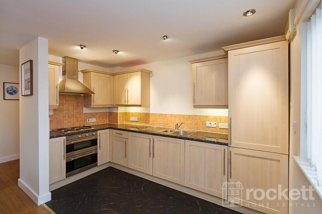
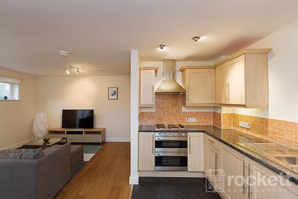
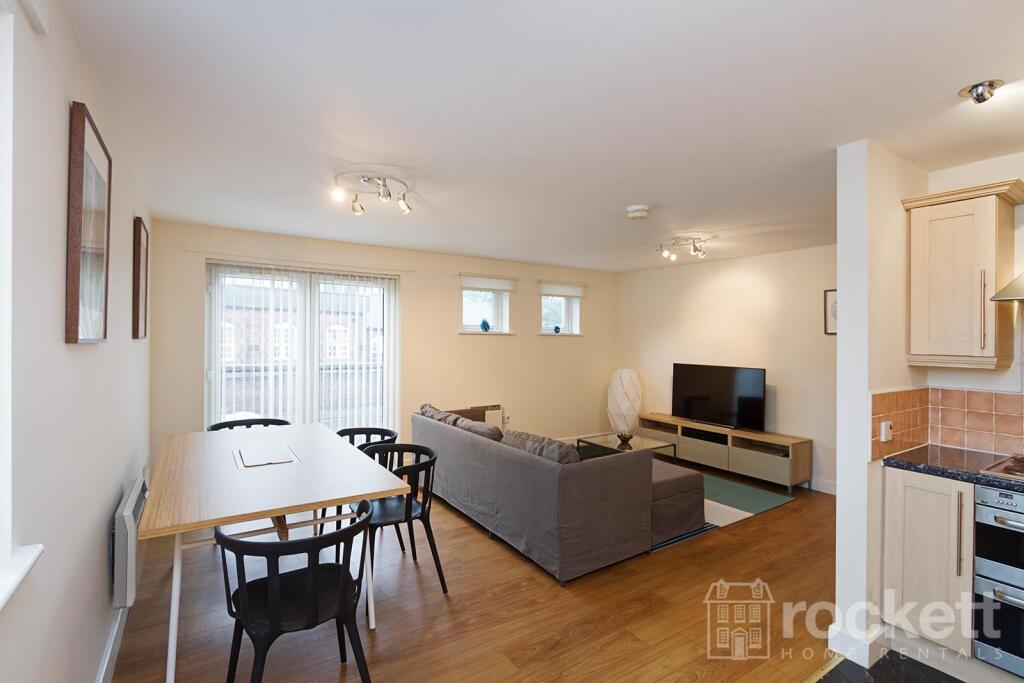
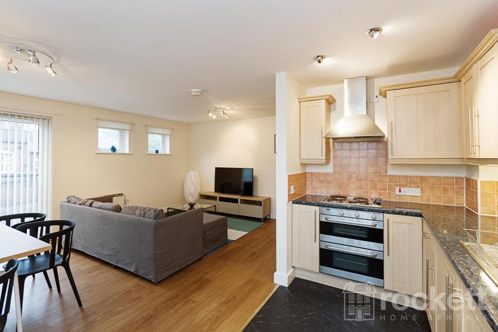
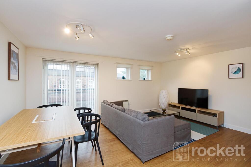
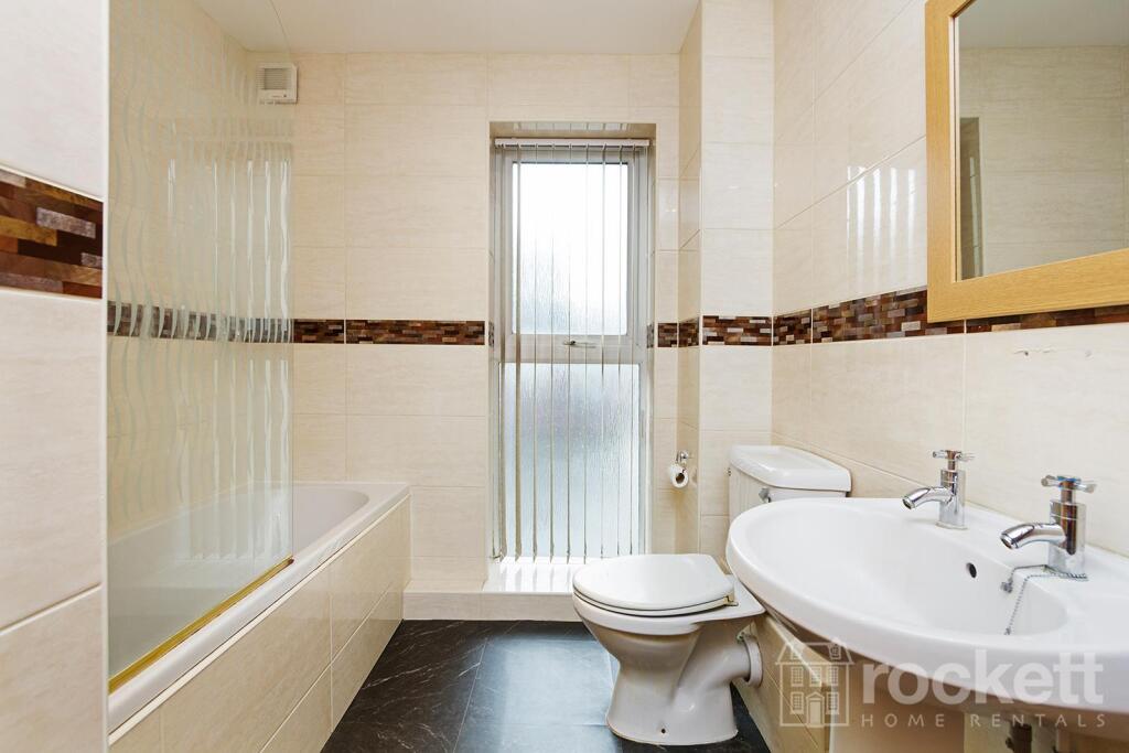
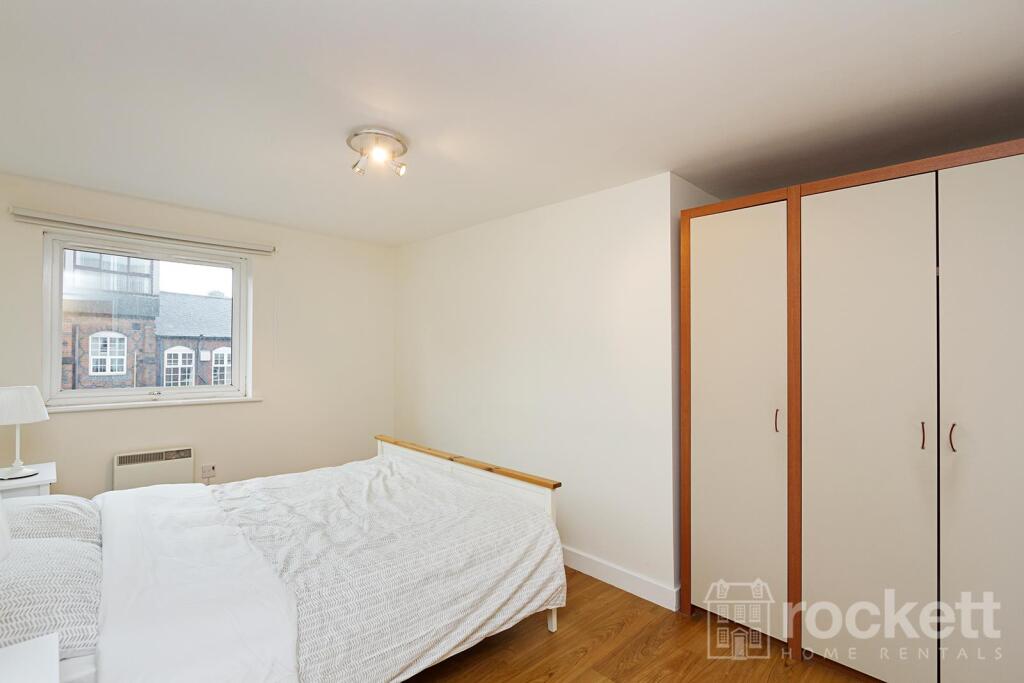
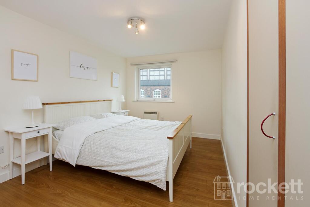
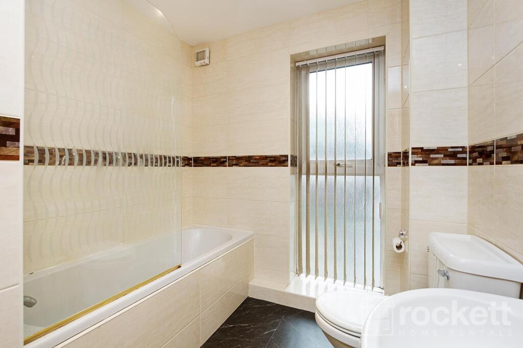
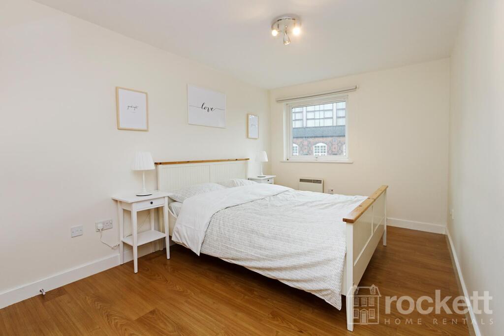
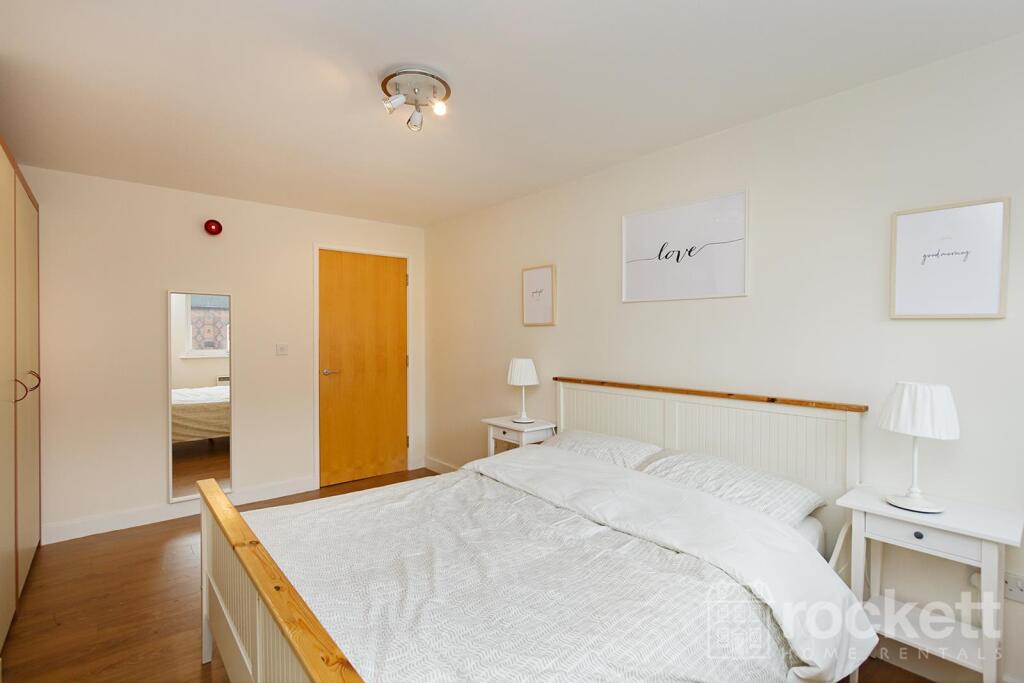
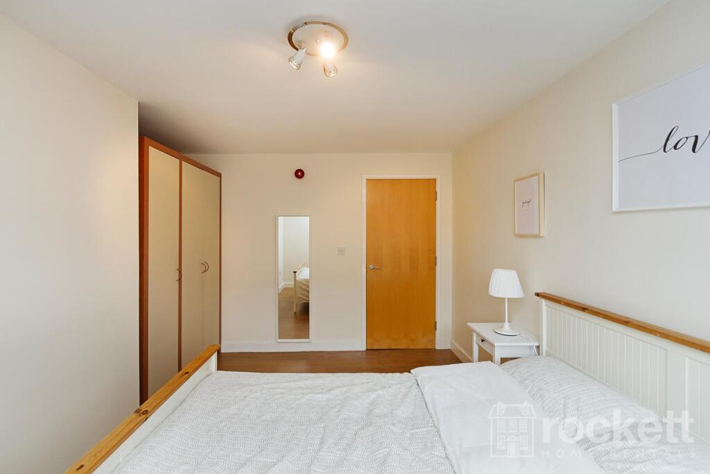
Description
Deposit free option or traditional 5 week deposit available
We have created a brochure full of lots of information on the property for you:
Listed by
Wolstanton
Rockett Home Rentals Ltd
Reference: 174552866
EPC Rating & Upgrade Cost
Fetching EPC data… Refresh this page in a moment.
Flood risk
Zone: 1
Risk: Low
Job (default Low)
EPC Graphs
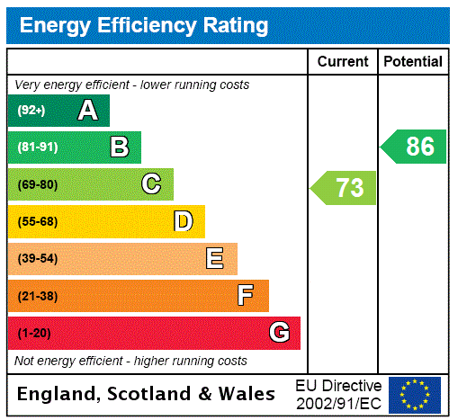
EPC Rating Graph
Rental Range
Estimated market rent for Newcastle-under-Lyme. Low = conservative, Realistic = average, Optimistic = best case.
Based on Local Authority from postcode lookup → Newcastle-under-Lyme.
LHA (30th percentile) floor for Staffordshire North: £424/mo (Apr 2025 – Mar 2026)
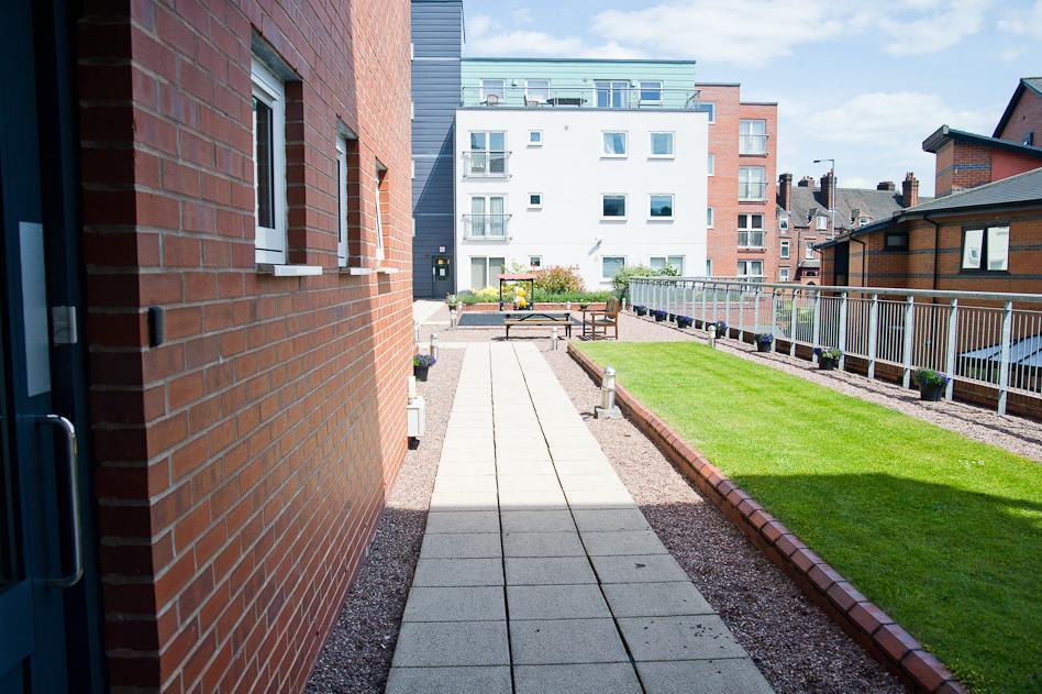
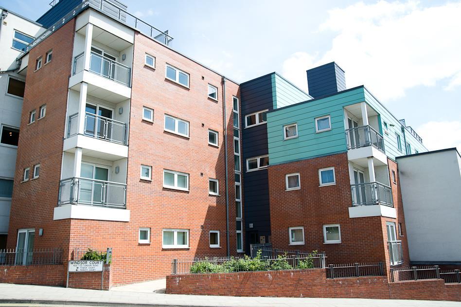
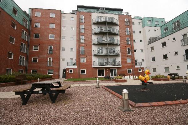
Location
Address
1 London Road
Nearby
Nearest stations, universities and amenities (distance from property).
| Type | Name | Distance |
|---|---|---|
| Shop | Cash Converters | 0.1 miles |
| Bus stop | Cherry Tree PH | 0.1 miles |
| Shop | Bargain World | 0.1 miles |
| Bus stop | Lyme Valley Road | 0.1 miles |
| Hospital | Hartshill Medical Centre | 0.6 miles |
| Hospital | Royal Stoke University Hospital | 0.6 miles |
| Train station | Stoke-on-Trent | 1.8 miles |
| University | University of Staffordshire Stoke Campus | 1.8 miles |
| University | Keele University | 2.0 miles |
| Train station | Longport | 2.4 miles |
Street-level crime
| Category | Count |
|---|---|
| Violence and sexual offences | 160 |
| Anti-social behaviour | 69 |
| Public order | 41 |
| Criminal damage and arson | 23 |
| Shoplifting | 21 |
| Other theft | 18 |
| Vehicle crime | 15 |
| Burglary | 10 |
| Other crime | 10 |
| Drugs | 7 |
| Possession of weapons | 4 |
| Robbery | 4 |
| Bicycle theft | 2 |
| Theft from the person | 2 |
| Total incidents | 386 |
Within 1 mile during Mar 2026. Source: data.police.uk (England & Wales).
Schools nearby
Nearest open schools with Ofsted ratings (England). Closed schools are not shown. Data from Get Information about Schools and Ofsted.
| Name | Type | Distance | Ofsted |
|---|---|---|---|
| Hassell Primary School | Primary | 0.1 miles | Good — 25 Oct 2023 |
| Blackfriars Academy | Other | 0.3 miles | Outstanding — 6 Feb 2013 |
| Newcastle-under-Lyme School | Other | 0.3 miles | — (No rating) |
| St Giles' and St George's Church of England Academy | Primary | 0.4 miles | Good — 21 May 2023 |
| Co-op Academy Friarswood | Primary | 0.4 miles | Good — 8 Mar 2013 |
Rental Comparables
Residential lets from OpenRent and Rightmove for the area (same bedroom count). Use to validate rent estimates. Student lets are excluded.
Average rent: £620/mo (32 listings)