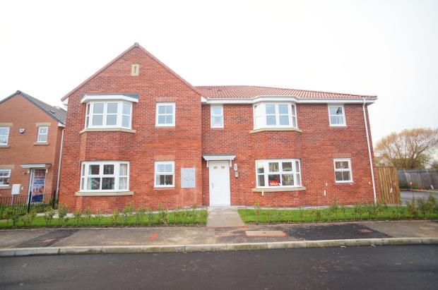
89 DENSHAM DRIVE
STOCKTON-ON-TEES, STOCKTON-ON-TEES TS18 3NN
£500 pcm

Property details
Floor area
64 m²
EPC rating
C
Street crime
514 incidents within 1 mile (Apr 2026)
Key features
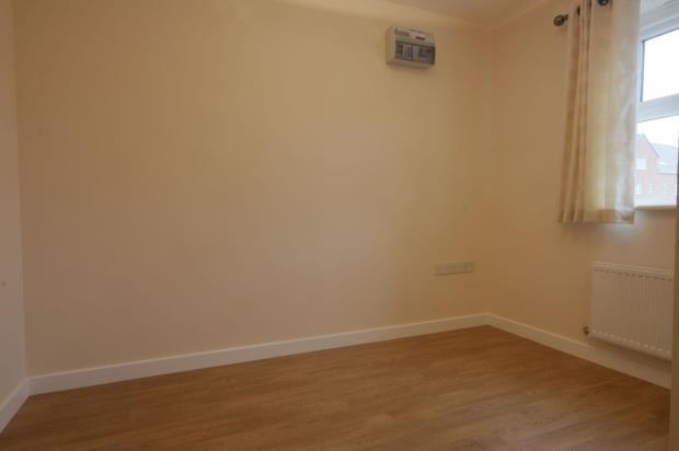
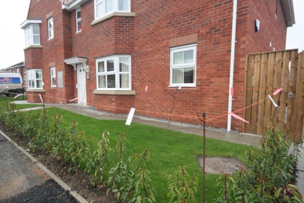
- Newly Constructed Ground Floor Apartment
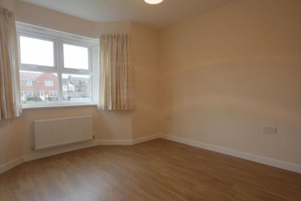
- Two Bedrooms
- Gas Central Heating
- Double Glazing
- Alarm
- Secure Entry System and Parking
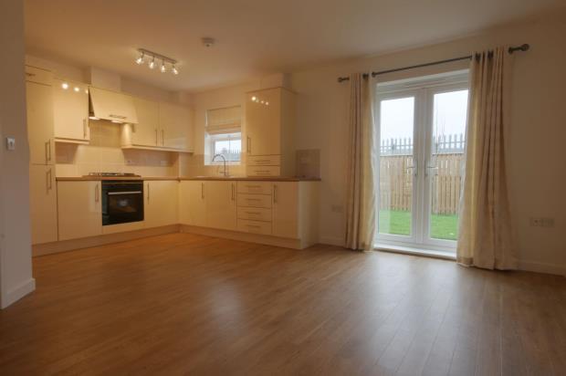
- Open Plan Lounge / Kitchen with Some Integrated Appliances
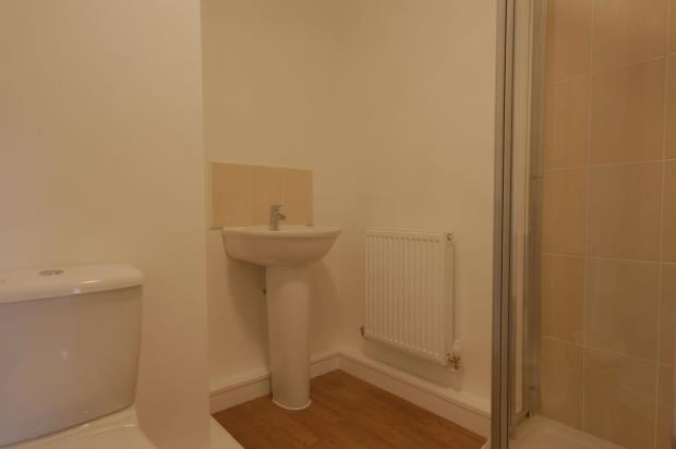
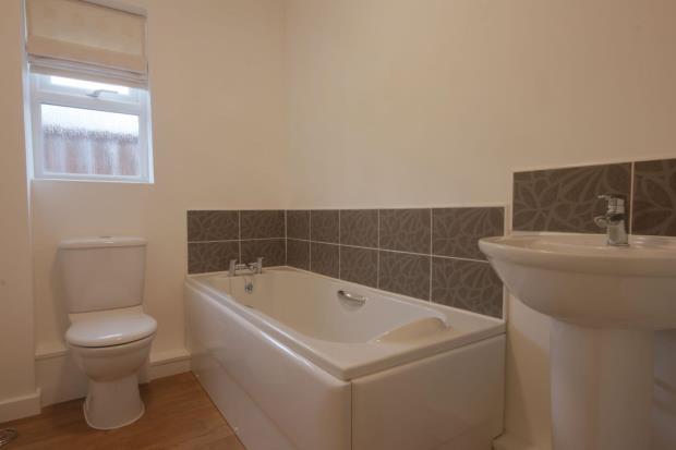
- Master with En-Suite Shower Room
- Bathroom/WC
- UNFURNISHED
Additional details
- Parking
- Yes
Description
Bond - £600
DSS Considered
Students Considered
No Pets
No Smokers
Children Welcome
Listed by
Middlesbrough
Michael Poole
Reference: 45612112
EPC Rating & Upgrade Cost
Current rating: C
Potential rating: C
Inspection date: 23/08/2012
Expiry date: 22/08/2022 (expired)
Current heating cost: £252/year
Potential heating cost: £252/year
Flood risk
Zone: 1
Risk: Low
Job (default Low)
Company ownership
Registered legal owner is a company.
Rental Range
Estimated market rent for Stockton-on-Tees. Low = conservative, Realistic = average, Optimistic = best case.
Based on Local Authority from postcode lookup → Stockton-on-Tees.
LHA (30th percentile) floor for Teesside: £474/mo (Apr 2025 – Mar 2026)
Location
Nearby
Nearest stations, universities and amenities (distance from property).
| Type | Name | Distance |
|---|---|---|
| Bus stop | Denshams Corner | 0.1 miles |
| Bus stop | Oxbridge Varo Terrace | 0.1 miles |
| Shop | Hair By David | 0.1 miles |
| Shop | Unknown | 0.1 miles |
| Train station | Stockton | 0.8 miles |
| Train station | Thornaby | 0.9 miles |
| University | Durham University, Queen's Campus | 1.2 miles |
| Hospital | Butterwick Hospice | 1.7 miles |
| Hospital | North Tees Hospital | 1.8 miles |
| University | Teesside University | 3.7 miles |
Street-level crime
| Category | Count |
|---|---|
| Violence and sexual offences | 186 |
| Anti-social behaviour | 66 |
| Criminal damage and arson | 54 |
| Shoplifting | 50 |
| Public order | 30 |
| Vehicle crime | 30 |
| Other theft | 29 |
| Burglary | 16 |
| Drugs | 14 |
| Other crime | 14 |
| Robbery | 12 |
| Possession of weapons | 8 |
| Theft from the person | 3 |
| Bicycle theft | 2 |
| Total incidents | 514 |
Within 1 mile during Apr 2026. Source: data.police.uk (England & Wales).
Schools nearby
Nearest open schools with Ofsted ratings (England). Closed schools are not shown. Data from Get Information about Schools and Ofsted.
| Name | Type | Distance | Ofsted |
|---|---|---|---|
| Oxbridge Lane Primary School | Primary | 0.1 miles | Good — 12 Oct 2021 |
| Bowesfield Primary School | Primary | 0.2 miles | Good — 25 Apr 2024 |
| St Cuthbert's Catholic Primary School, Stockton | Primary | 0.4 miles | Good — 16 Jan 2013 |
| Mill Lane Primary School | Primary | 0.5 miles | Good — 26 Jun 2023 |
| Hartburn Primary School | Primary | 0.7 miles | Good — 6 Feb 2014 |
Rental Comparables
Rental listings exist nearby, but none matched the 2-bedroom count for this property.