257A
WIMBLEDON PARK ROAD, LONDON, GREATER LONDON SW19 6NW
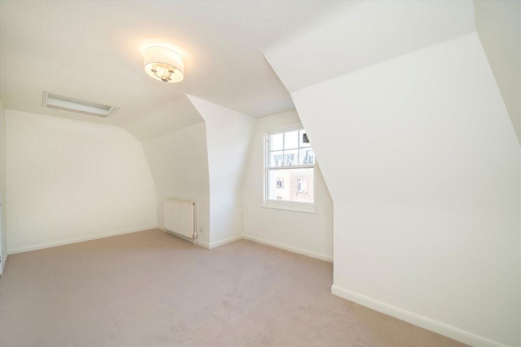
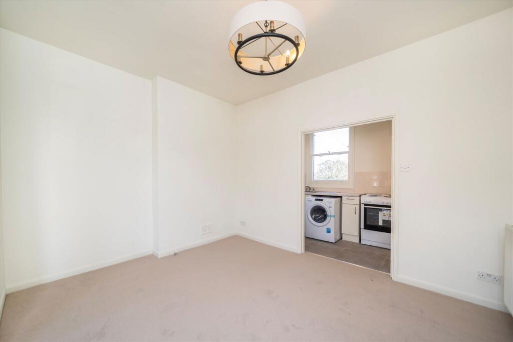
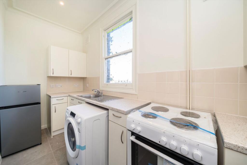
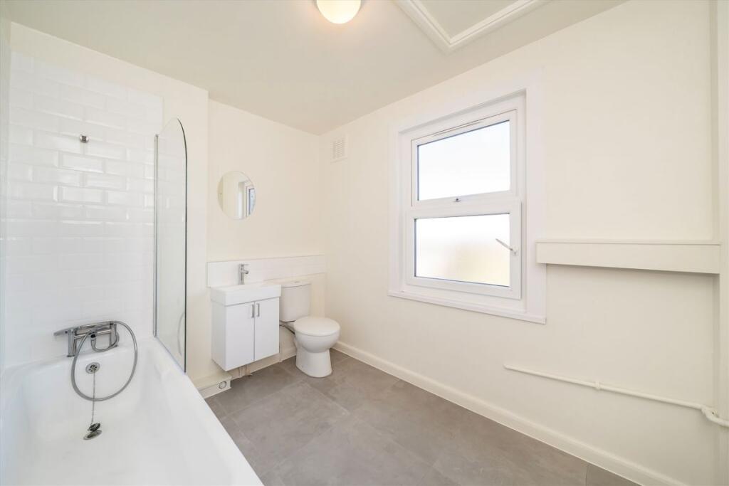
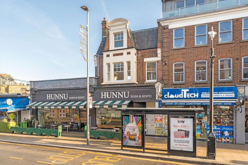
Photo 1 Photo 2 Photo 3 Photo 4 Photo 5
/ 5
Property details
Tenure
LEASEHOLD
Floor area
50 m²
Deprivation
Decile 9 (28,322 of 33,755)
Street crime
366 incidents within 1 mile (Apr 2026)
Key features
- One Bedroom
- Split Level
- First Floor
- Unfurnished
- Southfields Tube
- Close to Shops
Description
The property is perfectly located for Southfields tube station and the local amenities of Wimbledon Park Road whilst allowing good access to Wimbledon town centre with its vast array of shops, restaurants and bars.
Security Deposit: £1,846
Council Tax Band: C
Information contained within this listing is for guidance only and should be checked and confirmed (prior to proceeding).
Listed by
Wimbledon
Dexters
Reference: 169859816
EPC Rating & Upgrade Cost
Fetching EPC data… Refresh this page in a moment.
Flood risk
Zone: 1
Risk: Low
Job (default Low)
Floorplans
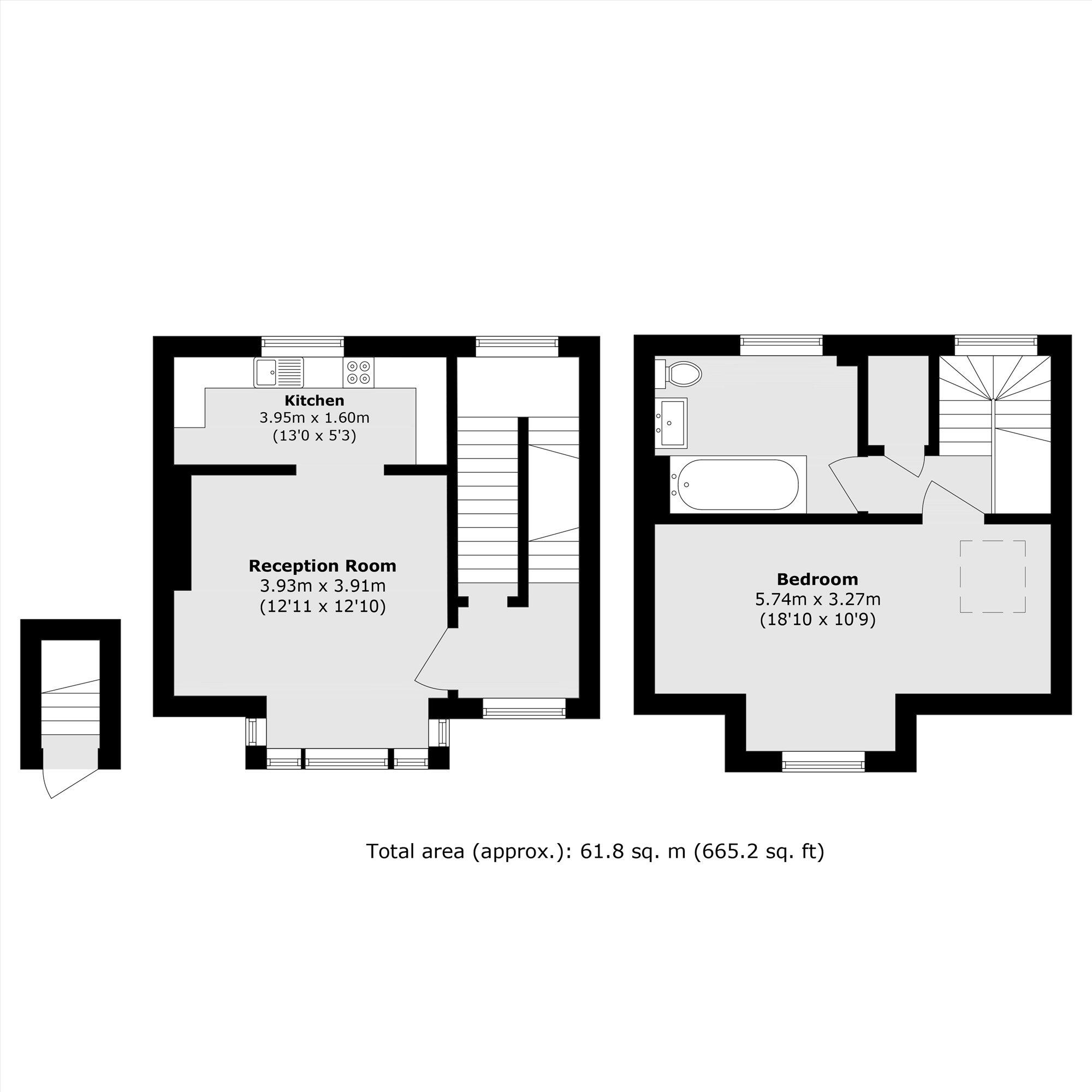
Floorplan 1
Company ownership
Registered legal owner is a company.
Rental Range
Estimated market rent for Wandsworth. Low = conservative, Realistic = average, Optimistic = best case.
Based on Local Authority from postcode lookup → Wandsworth.
LHA (30th percentile) floor for Stevenage & North Herts: £773/mo (Apr 2025 – Mar 2026)
Location
Nearby
Nearest stations, universities and amenities (distance from property).
| Type | Name | Distance |
|---|---|---|
| Bus stop | Southfields Station | 0.0 miles |
| Shop | Sainsbury's Local | 0.0 miles |
| Shop | Unknown | 0.1 miles |
| Train station | Southfields | 0.1 miles |
| Train station | Wimbledon Park | 0.8 miles |
| University | Horton Halls Reception | 1.4 miles |
| University | BIMM Institute London | 2.5 miles |
| Hospital | Bridge Lane Health Centre | 2.7 miles |
| Hospital | Chapel Orchard Day Surgery | 3.3 miles |
Street-level crime
| Category | Count |
|---|---|
| Violence and sexual offences | 102 |
| Anti-social behaviour | 79 |
| Shoplifting | 35 |
| Vehicle crime | 32 |
| Other theft | 27 |
| Public order | 22 |
| Burglary | 19 |
| Drugs | 13 |
| Criminal damage and arson | 11 |
| Robbery | 10 |
| Bicycle theft | 5 |
| Other crime | 5 |
| Theft from the person | 4 |
| Possession of weapons | 2 |
| Total incidents | 366 |
Within 1 mile during Apr 2026. Source: data.police.uk (England & Wales).
Schools nearby
Nearest open schools with Ofsted ratings (England). Closed schools are not shown. Data from Get Information about Schools and Ofsted.
| Name | Type | Distance | Ofsted |
|---|---|---|---|
| Saint Cecilia's Church of England School | Secondary | 0.2 miles | Good — 3 Nov 2011 |
| Sheringdale Primary School | Primary | 0.2 miles | — (Inspected (no overall grade)) |
| Linden Lodge School | Other | 0.3 miles | Good — 7 Mar 2017 |
| Albemarle Primary School | Primary | 0.3 miles | Good — 12 Dec 2023 |
| Riversdale Primary School | Primary | 0.4 miles | Requires improvement — 5 Nov 2023 |
Rental Comparables
Residential lets from OpenRent and Rightmove for the area (same bedroom count). Use to validate rent estimates. Student lets are excluded.
| Title | Rent | Beds | Distance | As seen on |
|---|---|---|---|---|
| Studio Flat, Augustus Road, SW19 | £1,671/mo | 1 | 0.17 miles | OpenRent |
| Studio Flat, Augustus Road, SW19 | £1,661/mo | 1 | 0.17 miles | OpenRent |
| Studio Flat, Augustus Road, SW19 | £1,661/mo | 1 | 0.17 miles | OpenRent |
| 1 Bed Terraced House, Fulwood Walk, SW19 | £1,900/mo | 1 | 0.39 miles | OpenRent |
Average rent: £1,723/mo (4 listings)