Denver Road
London, N16, N16 5JH
£650 pcm
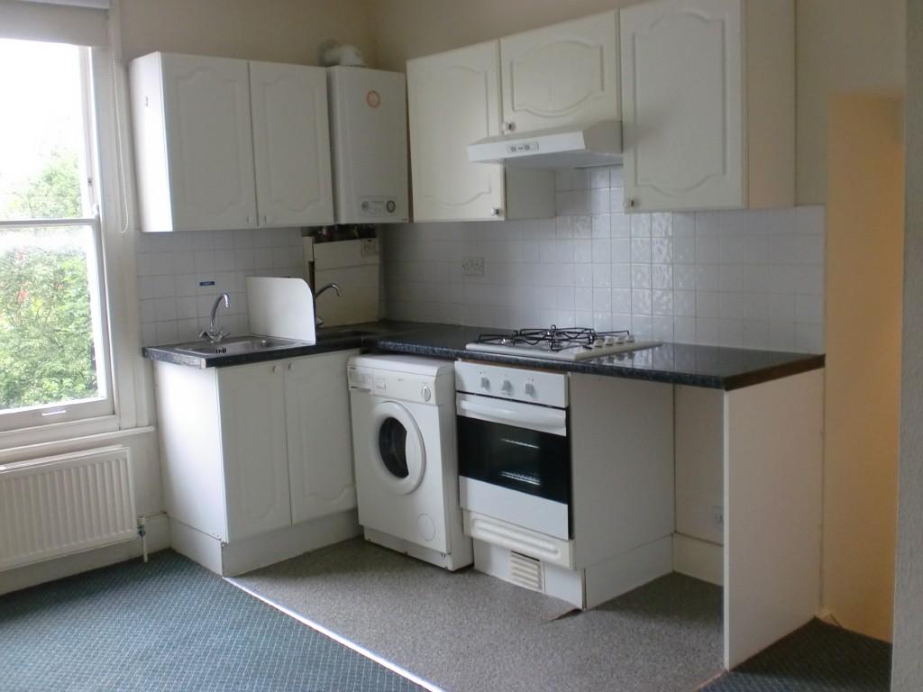
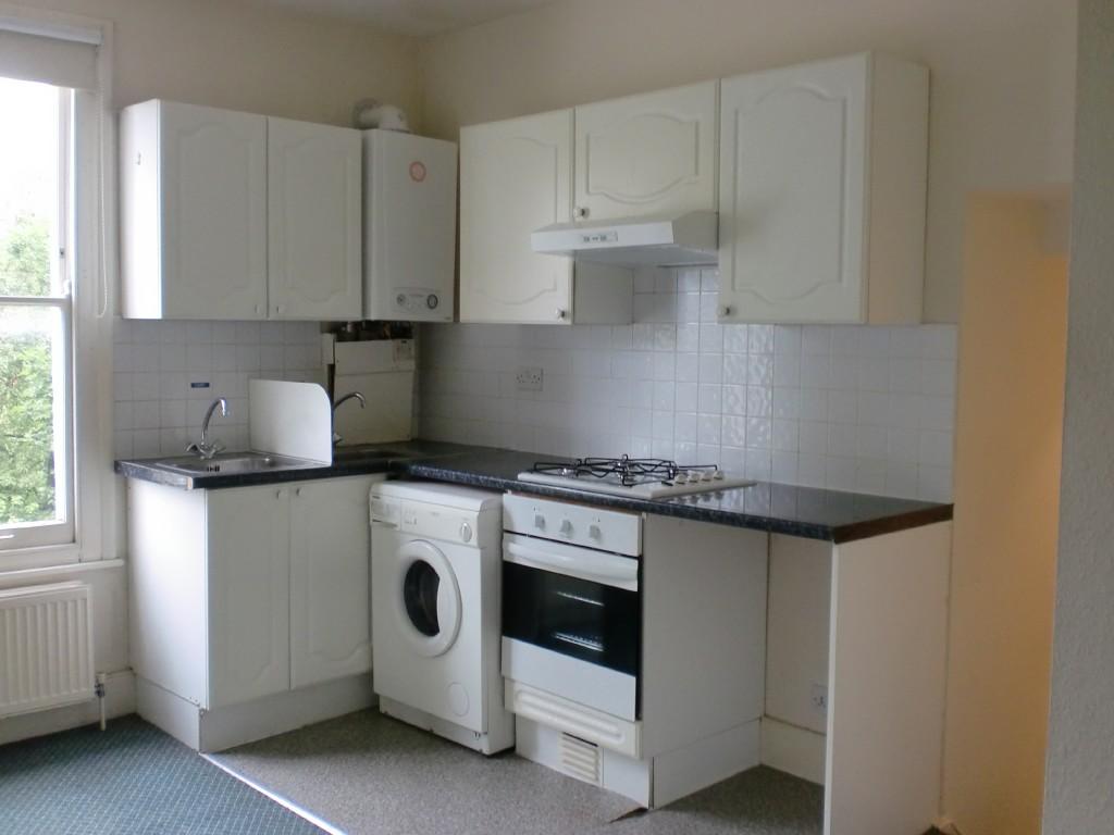
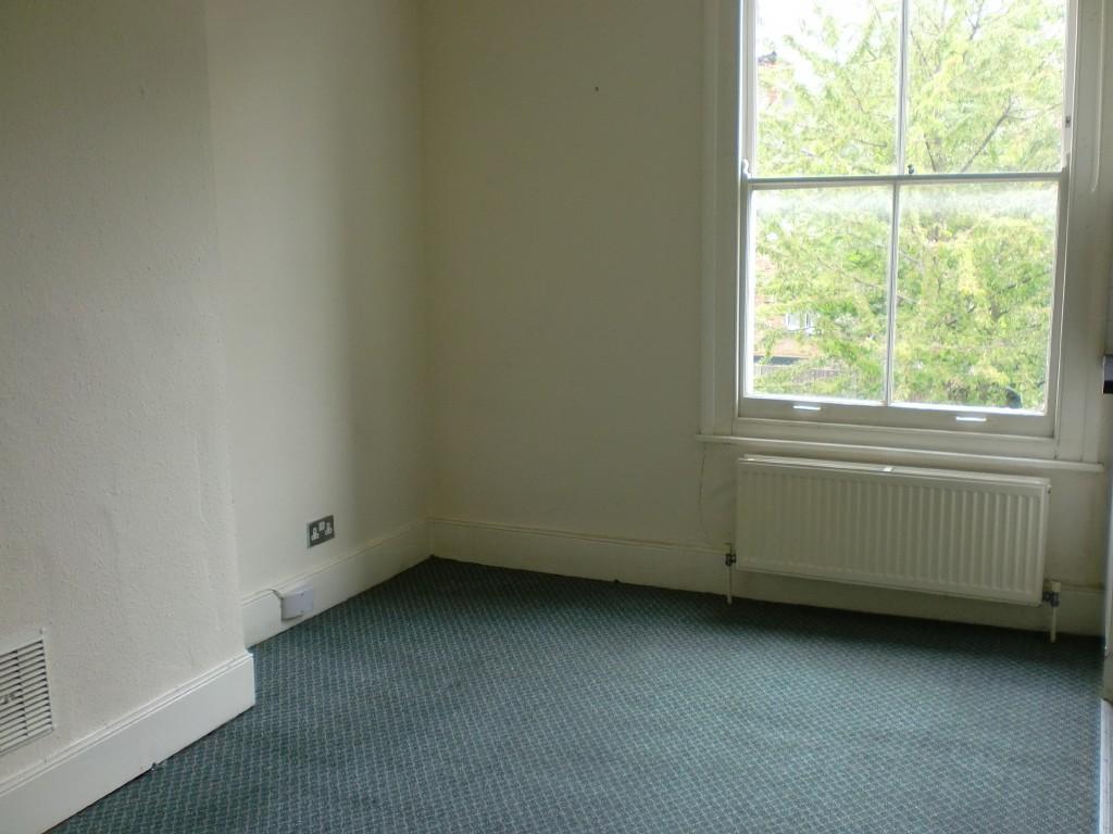
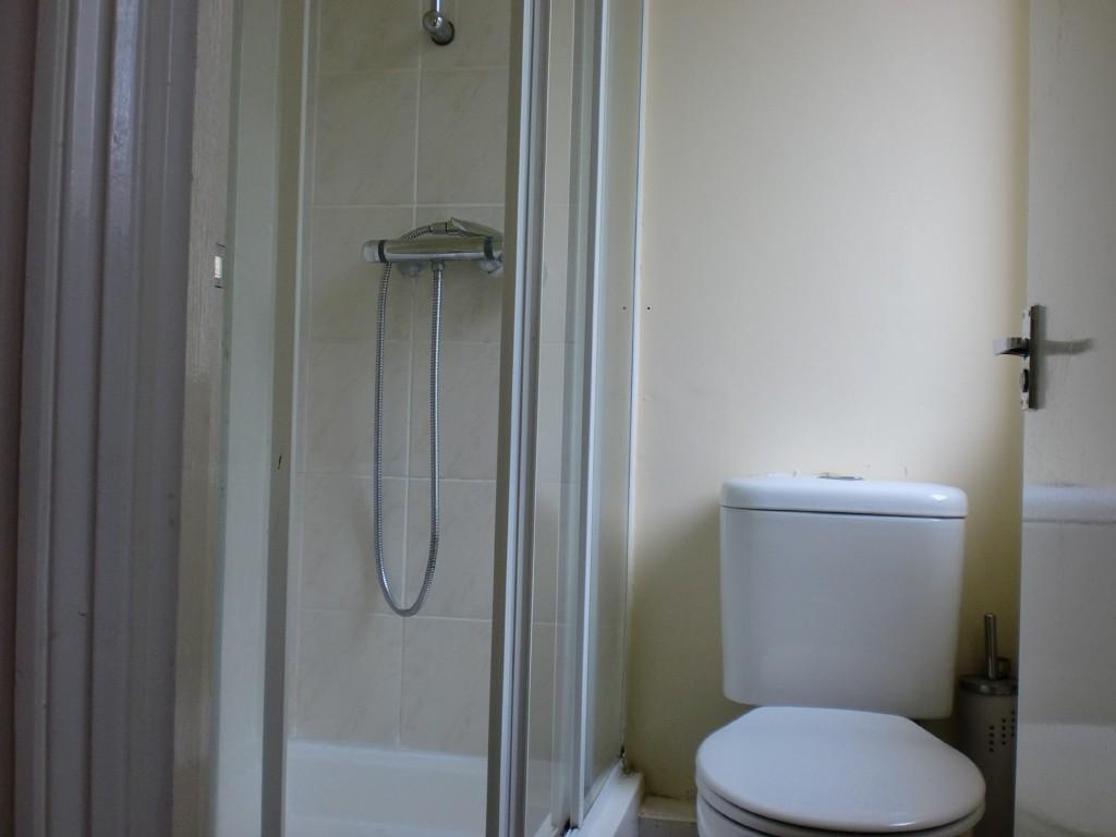
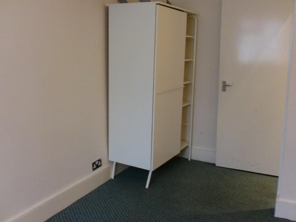
Photo 1 Photo 2 Photo 3 Photo 4 Photo 5
/ 5
Property details
Deprivation
Decile 1 (3,343 of 33,755)
Street crime
1102 incidents within 1 mile (Apr 2026)
Description
CARPETED THROUGHOUT
FULLY FITTED KITCHEN
WASHING MACHINE
GAS C/HEATING
AVAILABLE NOW
DHSS ACCEPTED
TO VIEW PLEASE CALL MARTIN ON 07528 939075
PLEASE QUOTE THE ADDRESS WHEN CALLING:
6B DENVER ROAD, N16 5JH
Listed by
London Rentals
Reference: 29816993
EPC ratings on this postcode
We don't have a matched EPC for this property yet. Below are efficiency scores and details for other addresses on this postcode.
| Address | Current | Potential | Floor area | Age band | Type |
|---|---|---|---|---|---|
| 12a Denver Road, LONDON | 69 | 78 | 78 m² | England and Wales: 1900-1929 | Flat |
| 12b Denver Road, London | 77 | 81 | 73 m² | England and Wales: 1900-1929 | Flat |
| 12c Denver Road, LONDON | 74 | 81 | 58 m² | England and Wales: 1900-1929 | Flat |
| 14a Denver Road, LONDON | 68 | 79 | 110 m² | England and Wales: 1900-1929 | Flat |
| 14a Denver Road, LONDON | 71 | 81 | 104 m² | England and Wales: 1900-1929 | Flat |
| 14c Denver Road, LONDON | 72 | 79 | 55 m² | England and Wales: 1900-1929 | Flat |
| 14c Denver Road, LONDON | 76 | 80 | 70 m² | England and Wales: 1900-1929 | Flat |
| 16A DENVER ROAD, LONDON | 60 | 72 | 73 m² | England and Wales: 1900-1929 | Flat |
| 16c Denver Road, LONDON | 73 | 77 | 81 m² | England and Wales: 1900-1929 | Flat |
| 16c Denver Road, LONDON | 55 | 62 | 70 m² | England and Wales: 1900-1929 | Flat |
| 16c Denver Road, LONDON | 60 | 64 | 74 m² | England and Wales: 1900-1929 | Flat |
| 18a Denver Road, LONDON | 64 | 78 | 85 m² | England and Wales: before 1900 | Flat |
| 18a Denver Road, LONDON | 65 | 79 | 75 m² | England and Wales: 1900-1929 | Flat |
| 18b Denver Road, LONDON | 72 | 81 | 53 m² | England and Wales: 1900-1929 | Flat |
| 18c, Denver Road, LONDON | 58 | 78 | 69 m² | England and Wales: before 1900 | Flat |
Flood risk
Zone: 1
Risk: Low
Job (default Low)
Rental Range
Estimated market rent for Hackney. Low = conservative, Realistic = average, Optimistic = best case.
Based on Local Authority from postcode lookup → Hackney.
LHA (30th percentile) floor for Stevenage & North Herts: Apr 2025 – Mar 2026
Location
Nearby
Nearest stations, universities and amenities (distance from property).
| Type | Name | Distance |
|---|---|---|
| Bus stop | Cranwich Road | 0.1 miles |
| Train station | Stamford Hill | 0.2 miles |
| Shop | Fairprice | 0.3 miles |
| Shop | Tiny's Local | 0.3 miles |
| Train station | South Tottenham | 0.6 miles |
| Hospital | Moorfields at Hoxton | 2.7 miles |
| University | University of Portsmouth Walthamstow Campus | 2.8 miles |
| University | University of Wales Trinity Saint David London | 2.8 miles |
| Hospital | North London Hospice Winchmore Hill | 3.6 miles |
Street-level crime
| Category | Count |
|---|---|
| Anti-social behaviour | 274 |
| Violence and sexual offences | 222 |
| Shoplifting | 106 |
| Theft from the person | 95 |
| Public order | 84 |
| Vehicle crime | 69 |
| Other theft | 58 |
| Criminal damage and arson | 55 |
| Burglary | 37 |
| Drugs | 35 |
| Robbery | 32 |
| Bicycle theft | 18 |
| Possession of weapons | 9 |
| Other crime | 8 |
| Total incidents | 1102 |
Within 1 mile during Apr 2026. Source: data.police.uk (England & Wales).
Schools nearby
Nearest open schools with Ofsted ratings (England). Closed schools are not shown. Data from Get Information about Schools and Ofsted.
| Name | Type | Distance | Ofsted |
|---|---|---|---|
| Beis Rochel d'Satmar Girls' School | Other | 0.1 miles | Requires improvement — 14 Feb 2023 |
| Vishnitz Girls School | Other | 0.1 miles | Requires improvement — 18 Sep 2024 |
| Bnois Jerusalem Girls School | Other | 0.1 miles | Requires improvement — 1 Jul 2024 |
| Talmud Torah London | Other | 0.1 miles | Good — 4 Oct 2023 |
| Beis Rochel dSatmar School | Other | 0.1 miles | Requires improvement — 30 Nov 2022 |
Rental Comparables
Residential lets from OpenRent and Rightmove for the area. Bedroom counts vary — use the Beds column to compare like-for-like lets. Student lets are excluded.
| Title | Rent | Beds | Distance | As seen on |
|---|---|---|---|---|
| 2 Bed Flat, Cranwich Road, N16 | £2,350/mo | 2 | 0.14 miles | OpenRent |
| Studio Flat, Linthorpe Road, N16 | £1,550/mo | 1 | 0.18 miles | OpenRent |
| 2 Bed Maisonette, St John's Road, N15 | £2,350/mo | 2 | 0.21 miles | OpenRent |
| 1 Bed Flat, Amhurst Park, N16 | £1,750/mo | 1 | 0.21 miles | OpenRent |
| 4 Bed Flat, Amhurst, N16 | £2,900/mo | 4 | 0.24 miles | OpenRent |
| 1 Bed Flat, St Ann's Road, N15 | £1,550/mo | 1 | 0.34 miles | OpenRent |
| 1 Bed Flat, St Ann's Road, N15 | £1,550/mo | 1 | 0.34 miles | OpenRent |
| 1 Bed Flat, Twyford House, N15 | £1,500/mo | 1 | 0.35 miles | OpenRent |
| Studio Flat, Hillsid Road, N15 | £1,050/mo | 1 | 0.35 miles | OpenRent |
| 1 Bed Flat, St Kildas Road, N16 | £1,895/mo | 1 | 0.39 miles | OpenRent |
| 3 Bed Flat, Stamford Hill Mansions, N16 | £3,467/mo | 3 | 0.39 miles | OpenRent |
Average rent: £1,992/mo (11 listings)
Enter House Number
Enter the house number to help us retrieve more accurate pricing history and property data.
Please log in to submit or correct the house number for this listing.
Log in to continue