40 SUNNYDENE ROAD
PURLEY, PURLEY, GREATER LONDON CR8 2DG
£1,100 pcm
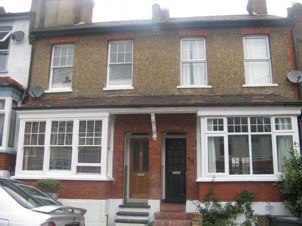
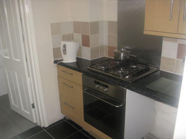
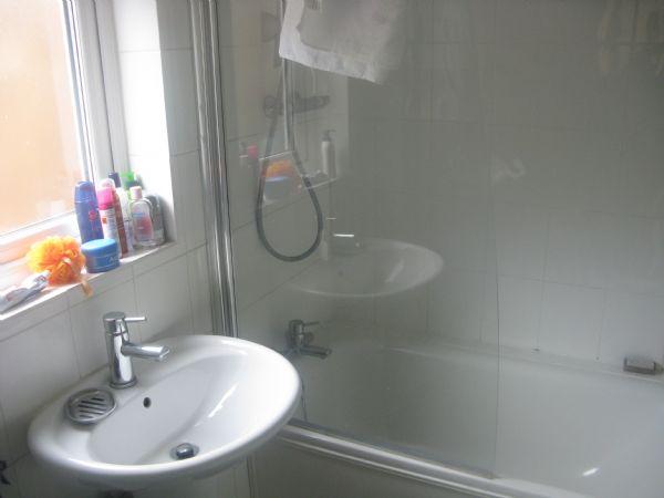
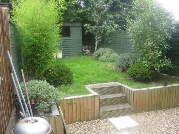
Photo 1 Photo 2 Photo 3 Photo 4
/ 4
Property details
Floor area
120 m²
Deprivation
Decile 5 (14,630 of 33,755)
Street crime
168 incidents within 1 mile (Apr 2026)
Additional details
- Garden
- Yes
Description
Listed by
Coulsdon
Choices Estate Agents Ltd
Reference: 26717534
EPC Rating & Upgrade Cost
Fetching EPC data… Refresh this page in a moment.
Flood risk
Zone: 1
Risk: Low
Job (default Low)
FENSA Certificates
This property has 1 FENSA certificate(s) on record, indicating window/door installations by FENSA-approved installers.
FENSA Certificate #7005328
Property Details
Street: 40 Sunnydene Road
Town: PURLEY
Postcode: CR8 2DG
Installation Details
Items: 2 windows
Certificate Issued: 15/12/2009
Work Completed: 24/01/2009
This certificate data was retrieved from FENSA's database
What is FENSA? FENSA (Fenestration Self-Assessment Scheme) is a government-authorised scheme that monitors building regulation compliance for replacement windows and doors. Certificates indicate that work was completed by FENSA-approved installers.
Rental Range
Estimated market rent for Croydon. Low = conservative, Realistic = average, Optimistic = best case.
Based on Local Authority from postcode lookup → Croydon.
LHA (30th percentile) floor for Outer North London: £1,690/mo (Apr 2025 – Mar 2026)
Location
Nearby
Nearest stations, universities and amenities (distance from property).
| Type | Name | Distance |
|---|---|---|
| Bus stop | Sunnydene Road | 0.1 miles |
| Shop | Newsflash Off Licence | 0.2 miles |
| Shop | Cornell & Varley | 0.3 miles |
| Train station | Purley | 0.4 miles |
| Train station | Reedham | 0.5 miles |
| Hospital | Patient Advice and Liaison Service (PALS) | 3.9 miles |
| Hospital | Croydon Heart Centre | 3.9 miles |
| University | Horton Halls Reception | 7.7 miles |
| University | University of Wales Trinity Saint David London Campus | 10.2 miles |
Street-level crime
| Category | Count |
|---|---|
| Violence and sexual offences | 52 |
| Anti-social behaviour | 34 |
| Vehicle crime | 18 |
| Public order | 13 |
| Shoplifting | 12 |
| Burglary | 11 |
| Criminal damage and arson | 9 |
| Other theft | 6 |
| Drugs | 5 |
| Theft from the person | 4 |
| Bicycle theft | 2 |
| Other crime | 1 |
| Possession of weapons | 1 |
| Total incidents | 168 |
Within 1 mile during Apr 2026. Source: data.police.uk (England & Wales).
Schools nearby
Nearest open schools with Ofsted ratings (England). Closed schools are not shown. Data from Get Information about Schools and Ofsted.
| Name | Type | Distance | Ofsted |
|---|---|---|---|
| St Nicholas School | Other | 0.4 miles | Requires improvement — 27 Jun 2024 |
| Beaumont Primary School | Primary | 0.5 miles | Outstanding — 17 Jan 2018 |
| Harris Primary Academy Kenley | Primary | 0.6 miles | Outstanding — 15 Jul 2015 |
| St David's School | Other | 0.6 miles | — (No rating) |
| Purley Nursery School | Nursery | 0.6 miles | Outstanding — 16 Oct 2013 |
Rental Comparables
Residential lets from OpenRent and Rightmove for the area (same bedroom count). Use to validate rent estimates. Student lets are excluded.
| Title | Rent | Beds | Distance | As seen on |
|---|---|---|---|---|
| 3 Bed Flat, Coombes House, CR8 | £1,950/mo | 3 | 0.37 miles | OpenRent |
| 3 Bed Terraced House, Kenley, CR8 | £2,400/mo | 3 | 0.58 miles | OpenRent |
Average rent: £2,175/mo (2 listings)