31 WINDSOR ROAD
HALESOWEN, WEST MIDLANDS B63 4BE
£1,150 pcm
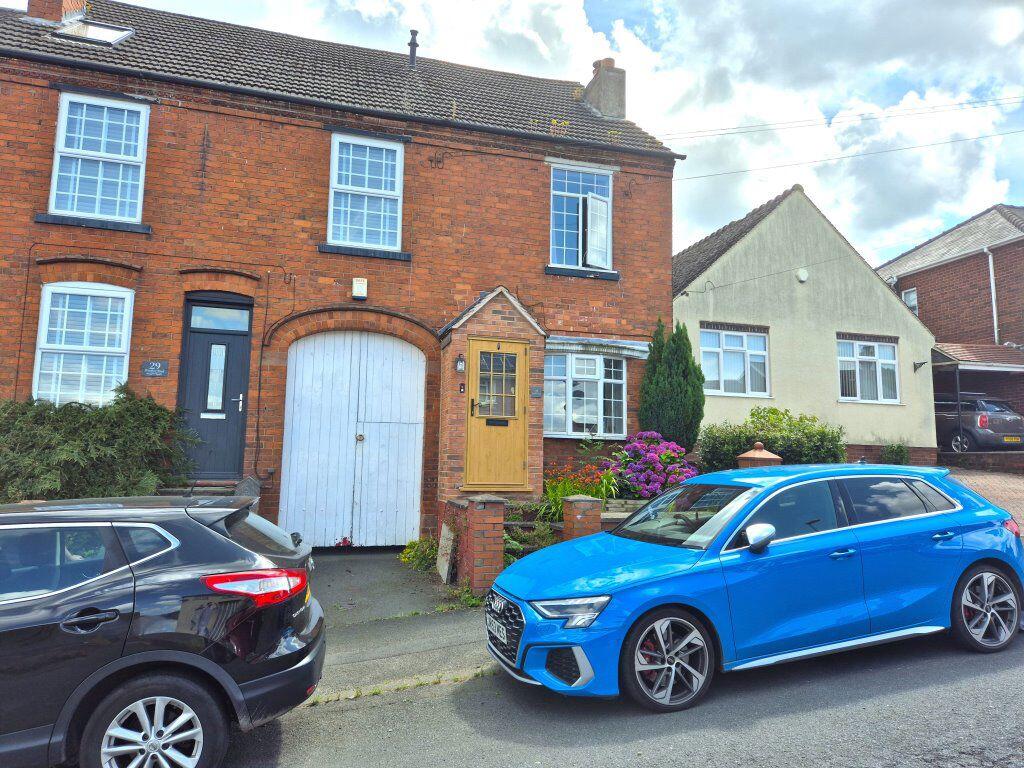
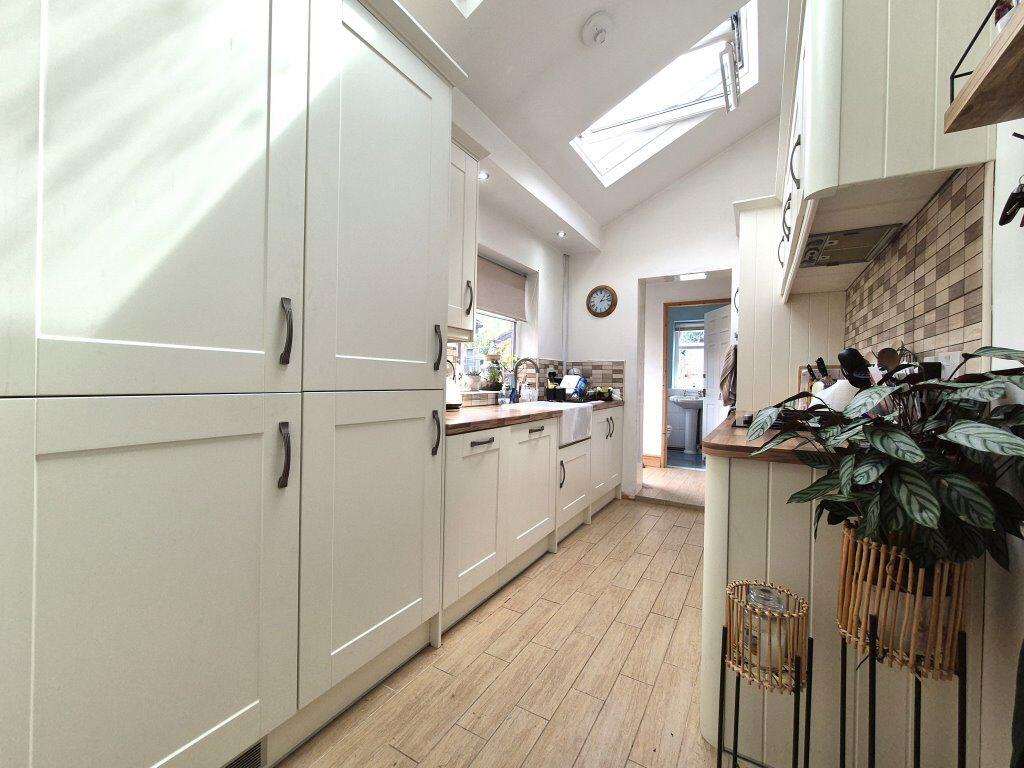
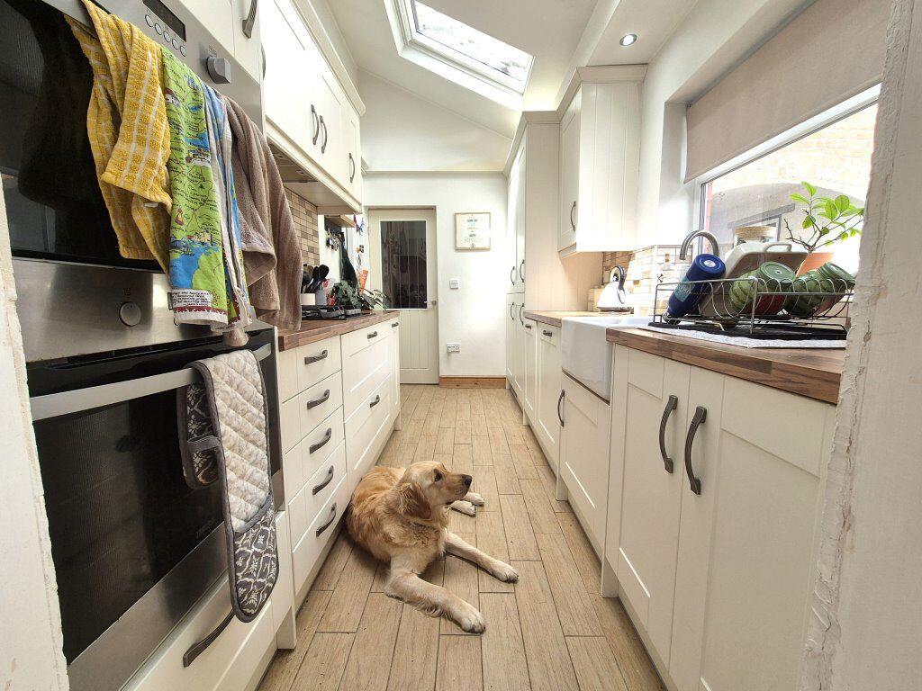
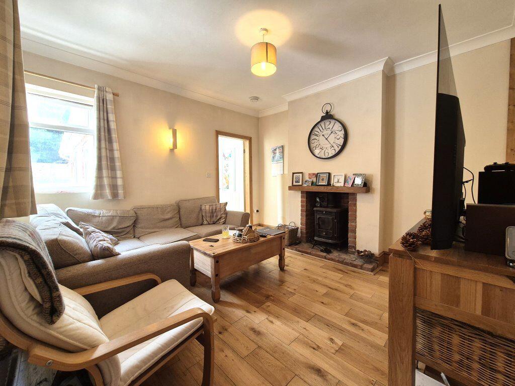
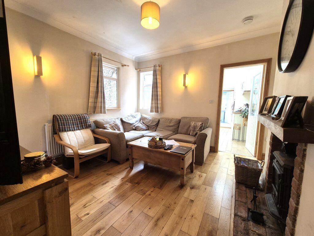
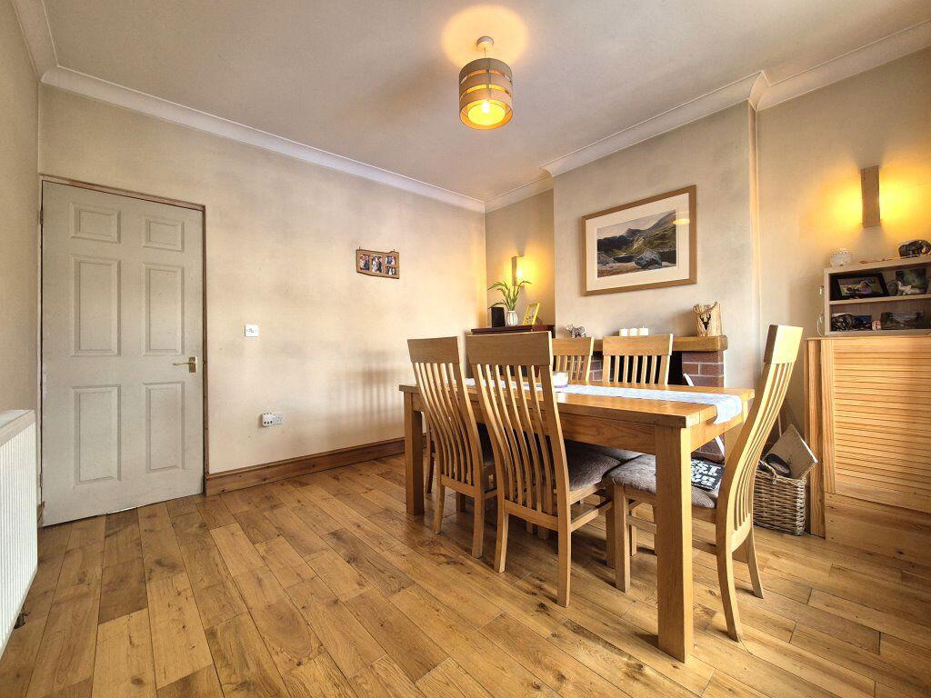
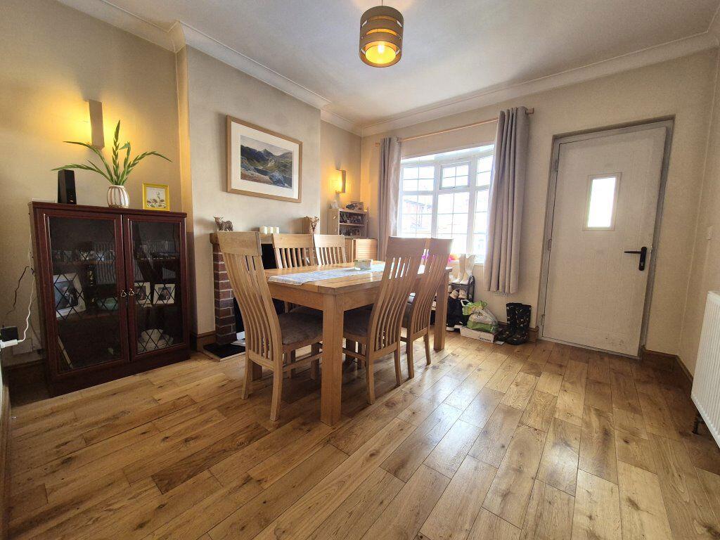
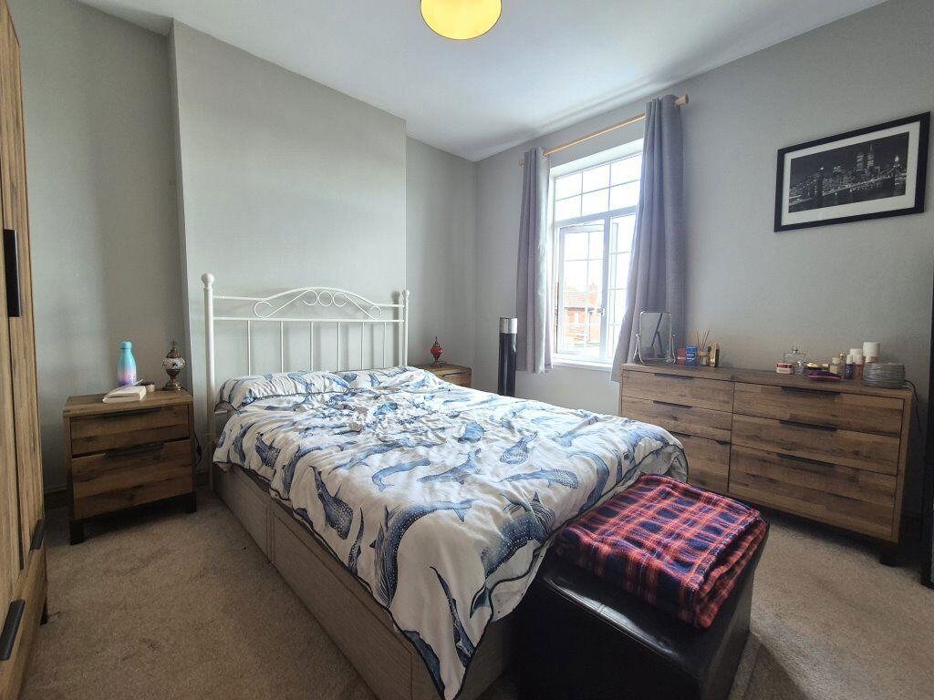
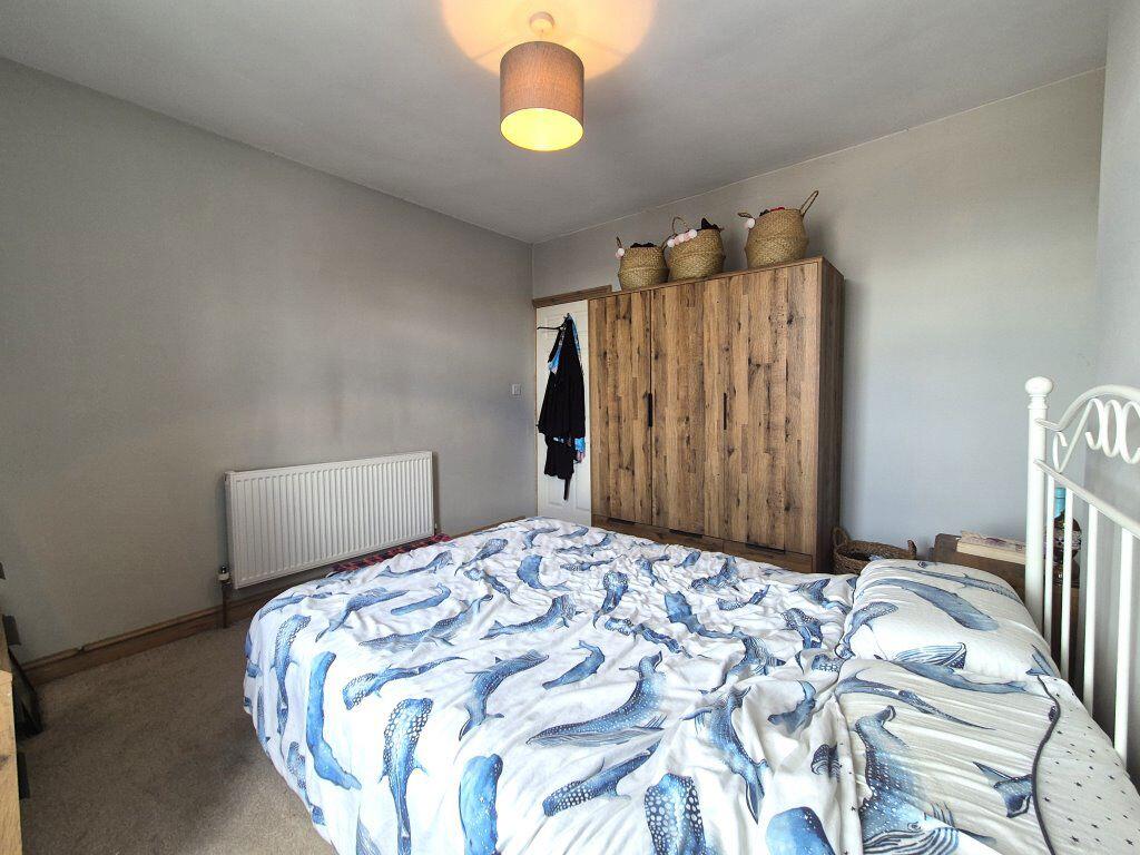
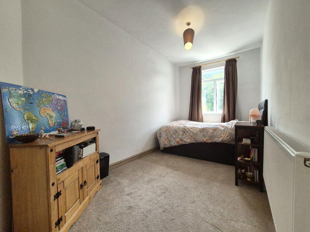
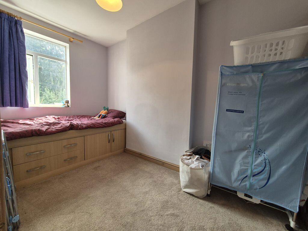

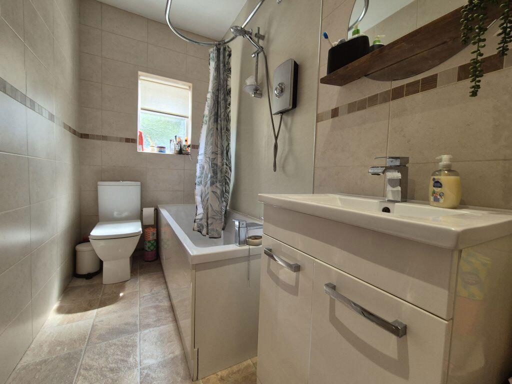
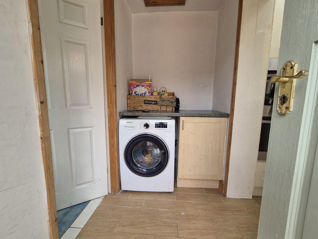
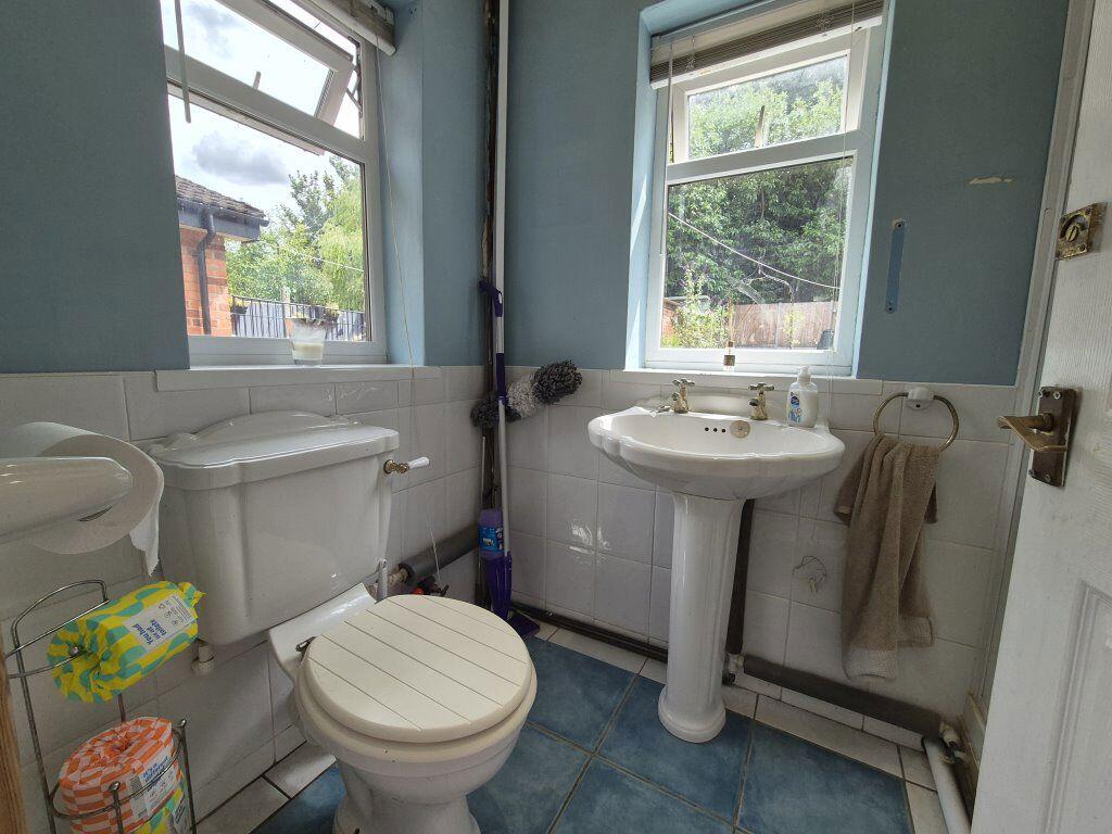
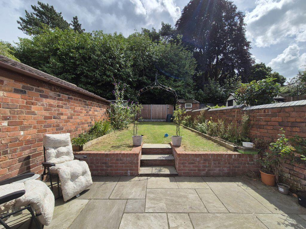
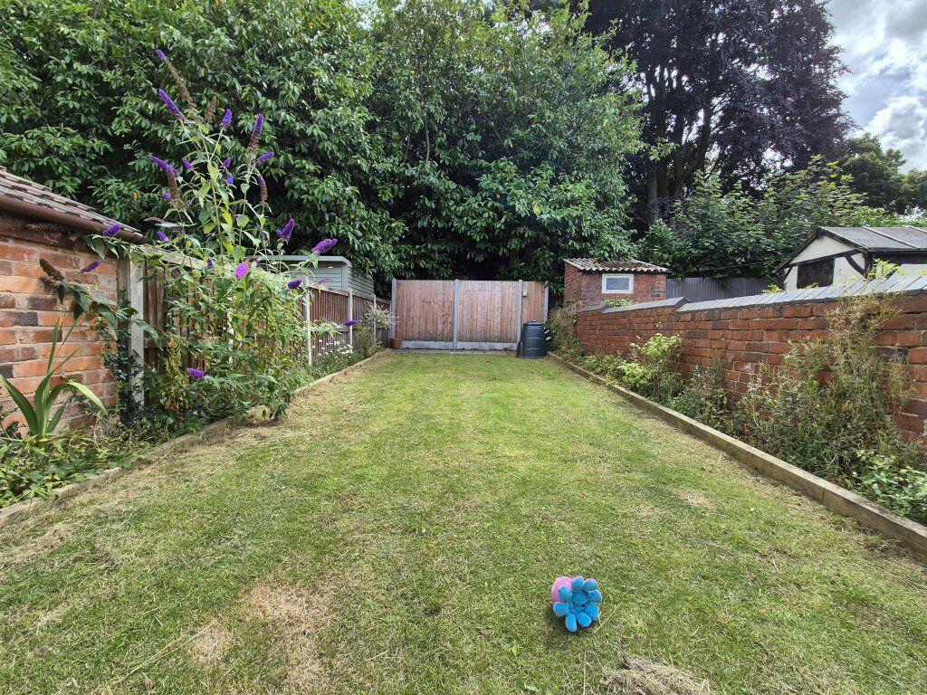
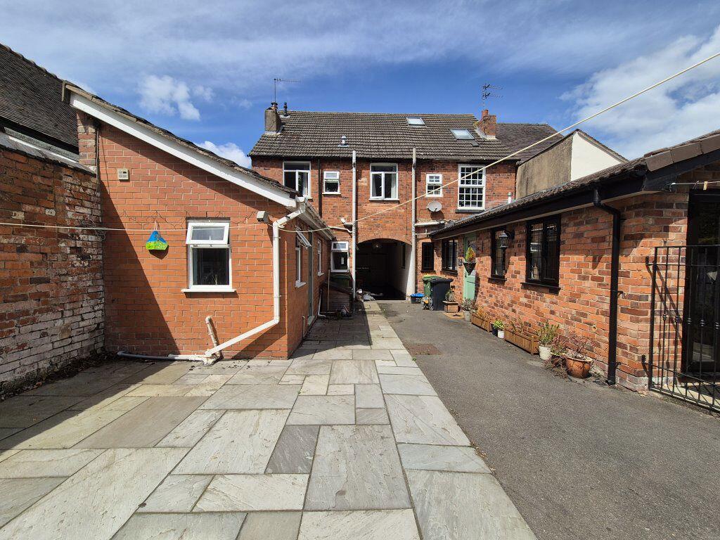
Photo 1 Photo 2 Photo 3 Photo 4 Photo 5 Photo 6 Photo 7 Photo 8 Photo 9 Photo 10 Photo 11 Photo 12 Photo 13 Photo 14 Photo 15 Photo 16 Photo 17 Photo 18
/ 18
Property details
Floor area
82 m²
Deprivation
Decile 5 (14,955 of 33,755)
Street crime
137 incidents within 1 mile (Mar 2026)
Additional details
- Garden
- Yes
Description
Lex Allan are proud to present this good sized, three bedroom family home in the heart of Halesowen. The property comprises off; entrance to dining room, good sized living area, modern kitchen, downstairs shower room, three double bedrooms and a family bathroom with shower over the bath. Externally there is a shared access to the right hand side, patio area and grassed garden.
Listed by
Stourbridge
Lex Allen
Reference: 87293901
EPC Rating & Upgrade Cost
Fetching EPC data… Refresh this page in a moment.
Flood risk
Zone: 2
Risk: In flood risk area
Environment Agency Flood Risk Areas (APSFR)
Rental Range
Estimated market rent for Dudley. Low = conservative, Realistic = average, Optimistic = best case.
Based on Local Authority from postcode lookup → Dudley.
LHA (30th percentile) floor for Black Country: £748/mo (Apr 2025 – Mar 2026)
Location
Nearby
Nearest stations, universities and amenities (distance from property).
| Type | Name | Distance |
|---|---|---|
| Bus stop | Richmond St / Slims Gate | 0.1 miles |
| Shop | Hasbury Motors | 0.2 miles |
| Shop | Don Guest and Son | 0.2 miles |
| Hospital | West Midlands Hospital Ramsay Health care | 0.9 miles |
| Train station | Old Hill | 1.4 miles |
| Train station | Cradley Heath | 1.9 miles |
| Hospital | Rowley Regis Hospital | 2.1 miles |
| University | Newman University | 2.9 miles |
| University | University of Wolverhampton ECMS National Foundry Training Centre | 4.7 miles |
Street-level crime
| Category | Count |
|---|---|
| Violence and sexual offences | 54 |
| Public order | 16 |
| Vehicle crime | 12 |
| Shoplifting | 10 |
| Criminal damage and arson | 9 |
| Other theft | 9 |
| Burglary | 7 |
| Possession of weapons | 7 |
| Other crime | 4 |
| Anti-social behaviour | 3 |
| Robbery | 2 |
| Theft from the person | 2 |
| Bicycle theft | 1 |
| Drugs | 1 |
| Total incidents | 137 |
Within 1 mile during Mar 2026. Source: data.police.uk (England & Wales).
Schools nearby
Nearest open schools with Ofsted ratings (England). Closed schools are not shown. Data from Get Information about Schools and Ofsted.
| Name | Type | Distance | Ofsted |
|---|---|---|---|
| Our Lady and St Kenelm RC School | Primary | 0.1 miles | Good — 11 Jan 2022 |
| Windsor High School and Sixth Form | Secondary | 0.1 miles | — (Inspected (no overall grade)) |
| Halesowen CofE Primary School | Primary | 0.3 miles | — (Inspected (no overall grade)) |
| The Earls High School | Secondary | 0.4 miles | Good — 12 Feb 2020 |
| Huntingtree Primary School | Primary | 0.4 miles | Good — 17 Mar 2019 |
Rental Comparables
Residential lets from OpenRent and Rightmove for the area (same bedroom count). Use to validate rent estimates. Student lets are excluded.
| Title | Rent | Beds | Distance | As seen on |
|---|---|---|---|---|
| 3 Bed Semi-Detached House, Mill Road, B64 | £1,200/mo | 3 | 1.01 miles | OpenRent |
| 3 Bed Detached House, County Park Avenue, B62 | £1,400/mo | 3 | 1.01 miles | OpenRent |
Average rent: £1,300/mo (2 listings)