10 CLYDE PARK
BRISTOL, CITY OF BRISTOL BS6 6RR
Property details
Floor area
73 m²
Year built
England and Wales: before 1900
Deprivation
Decile 9 (29,689 of 33,755)
Street crime
791 incidents within 1 mile (Apr 2026)
Key features
- NEWLY REDECORATED THROUGHOUT
- One bedroom unfurnished flat
- Agency fee GBP375 incl VAT
Description
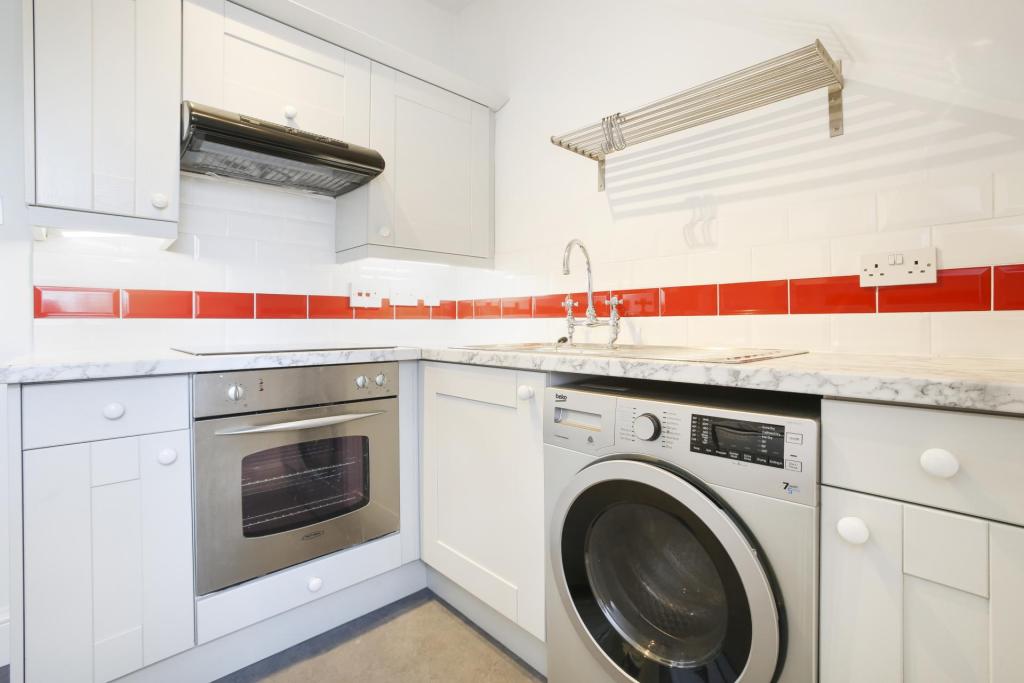
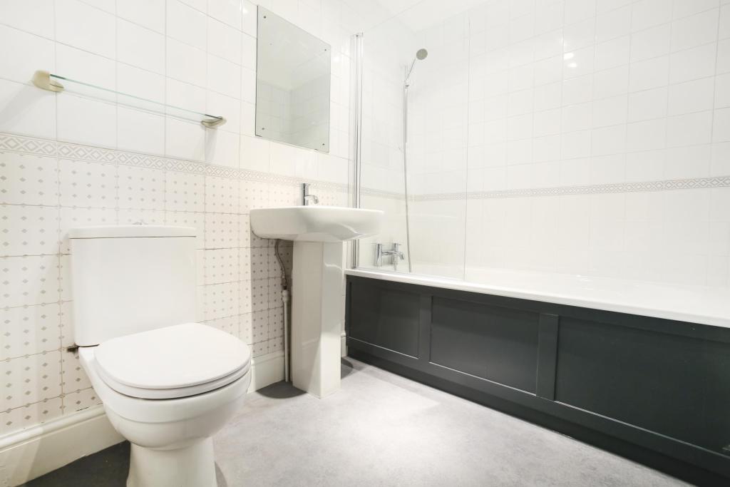
NEW KITCHEN AND BATHROOM.
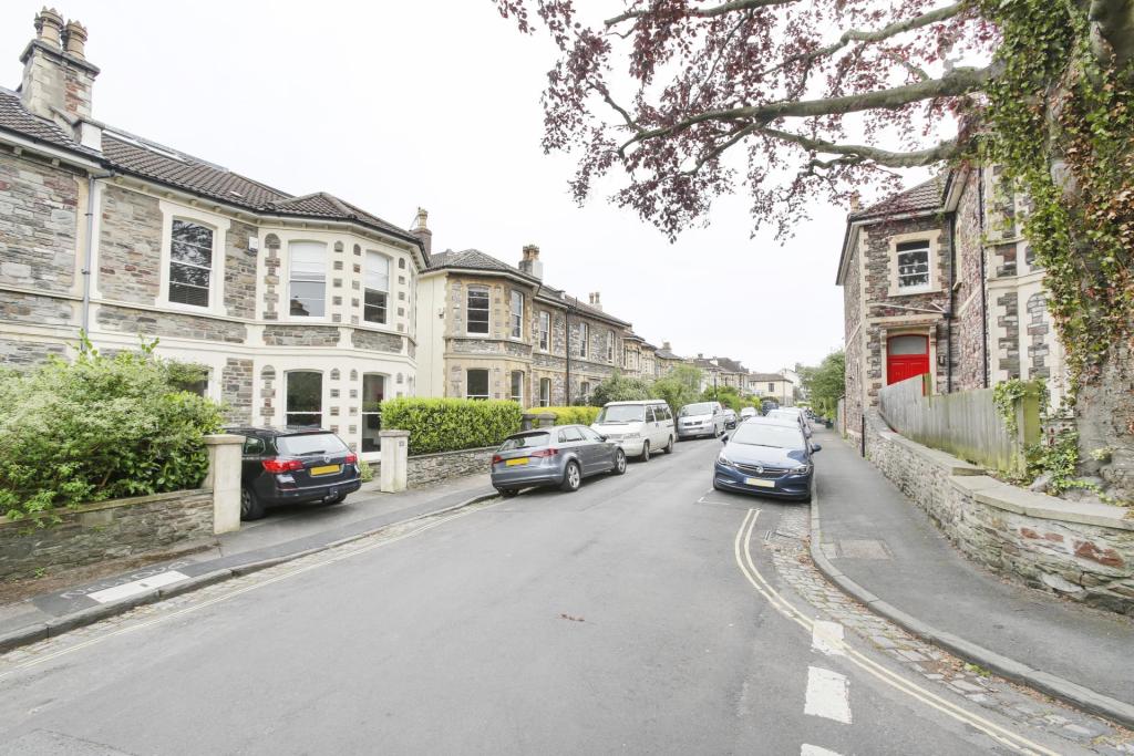
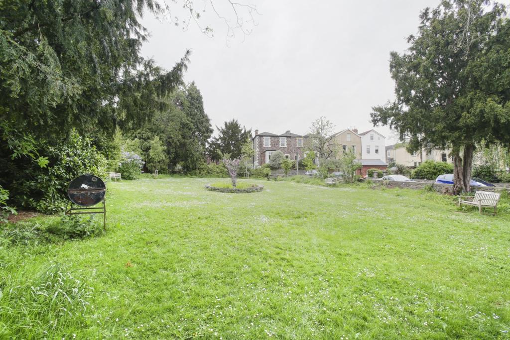
One bedroom top floor flat in a fantastic location close to Whiteladies Road.
Offered on an unfurnished basis.
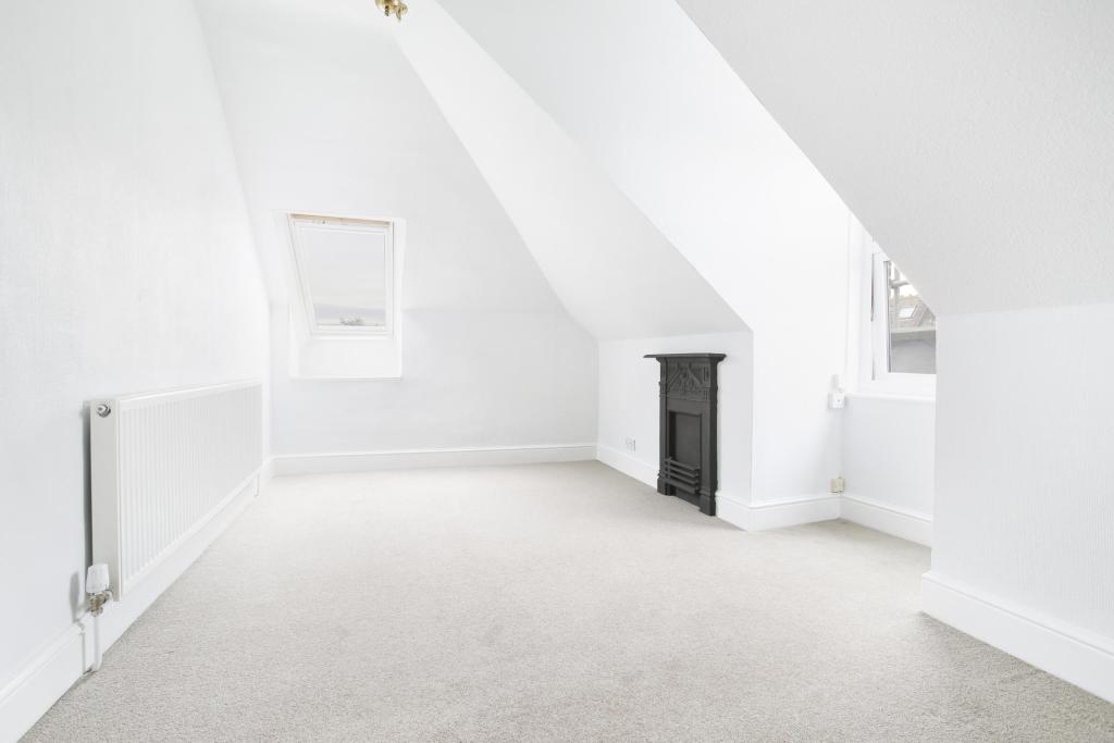
Living room at rear with roof top views.
Newly fitted kitchen equipped with cooker, fridge, freezer and washer/dryer.
Newly fitted bathroom with bath and shower above.
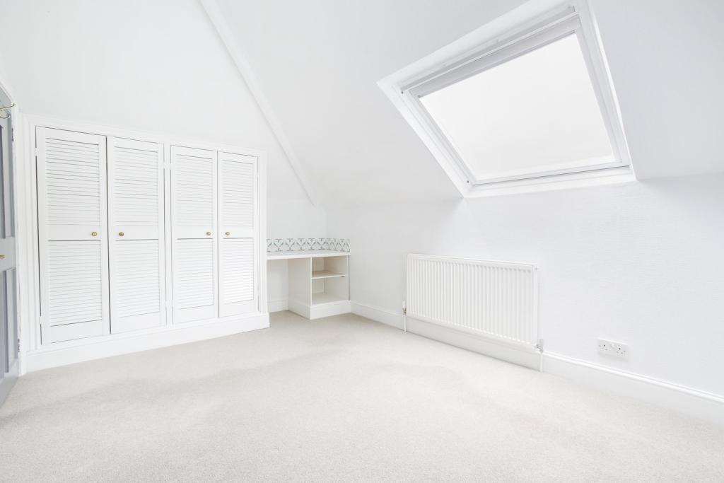
Double bedroom with fitted wardrobes.
Double glazed throughout.
GCH.
Suitable for a single professional only.
Agency fee GBP375 incl VAT.
Listed by
Bristol
Sarah Kenny Residential Lettings
Reference: 72997412
EPC Rating & Upgrade Cost
Fetching EPC data… Refresh this page in a moment.
Flood risk
Zone: 1
Risk: Low
Job (default Low)
Floorplans
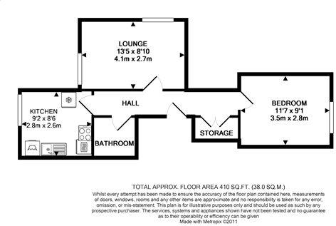
Floorplan 1
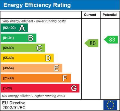
EPC Graphs
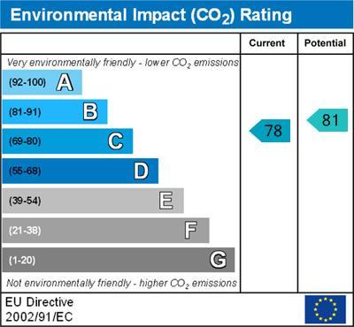
Environmental Impact
Energy Efficiency
Rental Range
Estimated market rent for Bristol, City of. Low = conservative, Realistic = average, Optimistic = best case.
Based on Local Authority from postcode lookup → Bristol, City of.
LHA (30th percentile) floor for Gloucester: £549/mo (Apr 2025 – Mar 2026)
Location
Nearby
Nearest stations, universities and amenities (distance from property).
| Type | Name | Distance |
|---|---|---|
| Bus stop | Ermleet Road | 0.2 miles |
| Shop | Velvet Umbrella | 0.3 miles |
| Shop | Snappy Snaps | 0.3 miles |
| Train station | Redland | 0.3 miles |
| Train station | Clifton Down | 0.4 miles |
| Hospital | Spire Bristol | 0.4 miles |
| University | 5 Priory Road, Life Sciences | 0.6 miles |
| Hospital | South West Regional Laboratories | 0.7 miles |
| University | dBs Institute Bristol Campus | 1.4 miles |
Street-level crime
| Category | Count |
|---|---|
| Violence and sexual offences | 204 |
| Anti-social behaviour | 125 |
| Shoplifting | 94 |
| Vehicle crime | 74 |
| Public order | 64 |
| Other theft | 63 |
| Burglary | 55 |
| Criminal damage and arson | 48 |
| Bicycle theft | 18 |
| Robbery | 18 |
| Drugs | 10 |
| Theft from the person | 10 |
| Other crime | 5 |
| Possession of weapons | 3 |
| Total incidents | 791 |
Within 1 mile during Apr 2026. Source: data.police.uk (England & Wales).
Schools nearby
Nearest open schools with Ofsted ratings (England). Closed schools are not shown. Data from Get Information about Schools and Ofsted.
| Name | Type | Distance | Ofsted |
|---|---|---|---|
| Bristol Waldorf School | Other | 0.3 miles | Requires improvement — 15 Aug 2023 |
| Redland Green School | Secondary | 0.3 miles | Good — 23 Jan 2024 |
| Ss Peter and Paul RC Primary School | Primary | 0.4 miles | Good — 2 May 2023 |
| Cotham Gardens Primary School | Primary | 0.4 miles | — (Inspected (no overall grade)) |
| Cotham School | Secondary | 0.4 miles | Good — 10 May 2018 |
Rental Comparables
Loading rental comparables for this postcode. Refresh in a few minutes.