12 PEPPER STREET
NEWCASTLE, SILVERDALE, STAFFORDSHIRE ST5 6QJ
£475 pcm
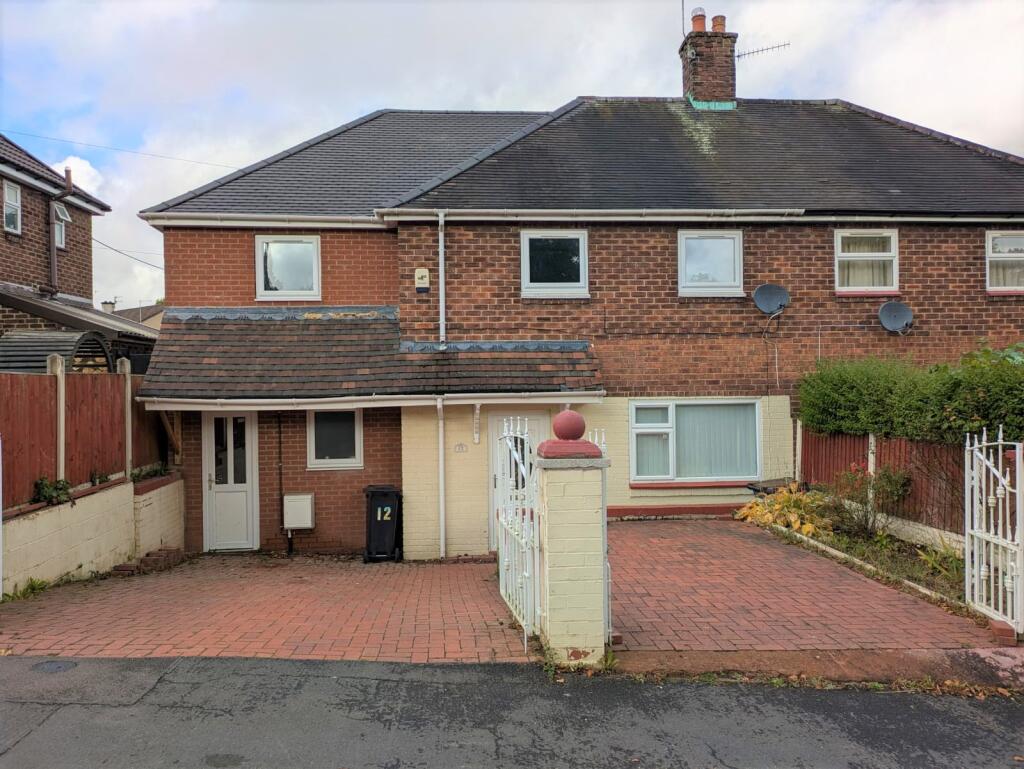
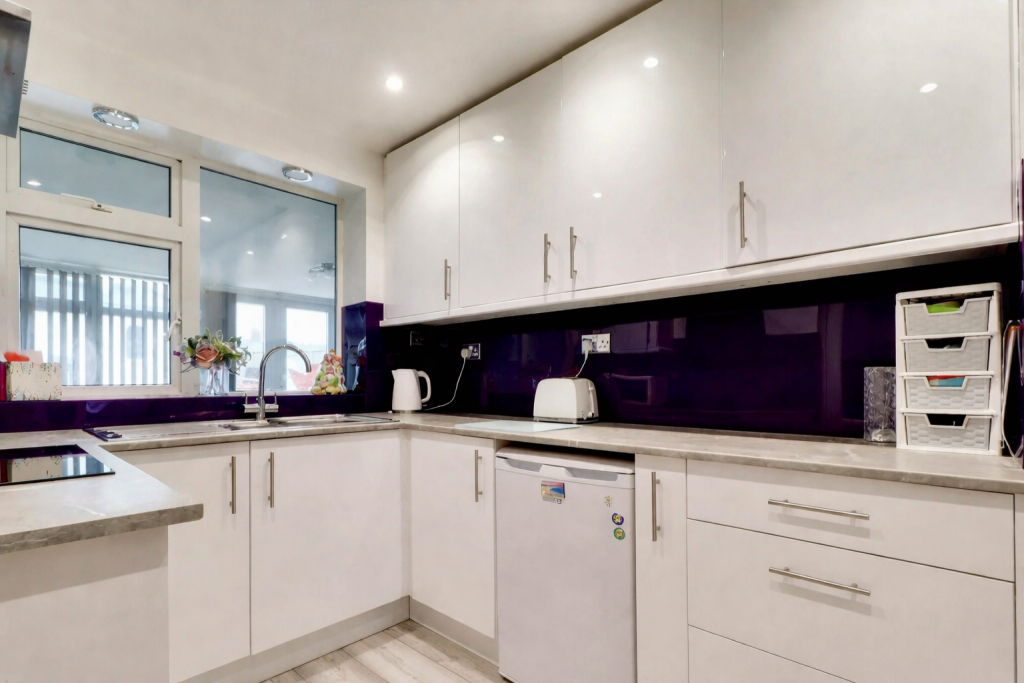
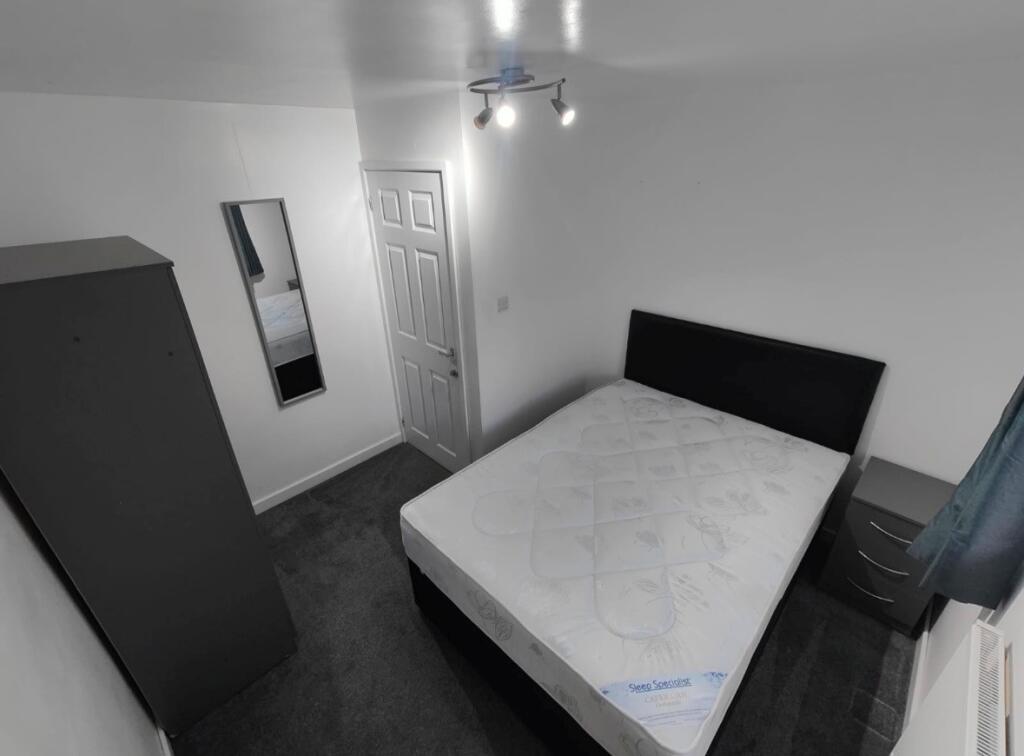
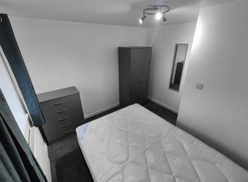
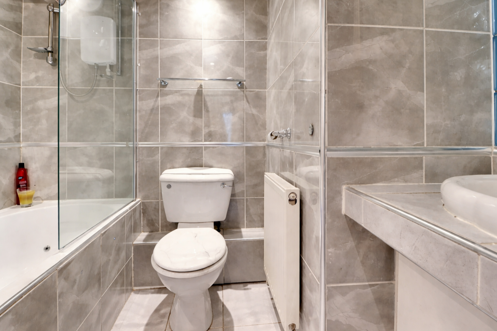
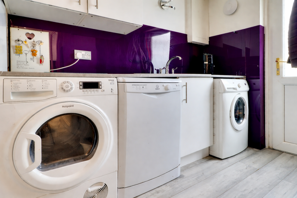
Photo 1 Photo 2 Photo 3 Photo 4 Photo 5 Photo 6 Photo 7
/ 7
Property details
Floor area
93 m²
Council tax band
A
Deprivation
Decile 4 (10,985 of 33,755)
Street crime
58 incidents within 1 mile (Apr 2026)
Key features
- Well-maintained property
- Great transport links
- Fully furnished room
- Inclusive of utility bills
Description
What’s included:
• All bills included (gas, electric, water, council tax & WiFi)
• Fully furnished throughout
• Communal living areas ready to use
• Shared bathroom
• Well-maintained property
Location:
Situated in ST5, the property is within easy reach of:
• Keele university
• Newcastle town centre
• Shops, supermarkets, and local amenities
• Great transport links
This is a fantastic opportunity to secure a well-located room with everything included for simple, stress-free living.
Get in touch today on to arrange a viewing – rooms are expected to go quickly! Council Tax Band: A Holding Deposit: £109.00
Listed by
Newcastle Under Lyme
Countrywide UK Lettings - Connells
Reference: 173548454
EPC Rating & Upgrade Cost
Fetching EPC data… Refresh this page in a moment.
Flood risk
Zone: 1
Risk: Low
Job (default Low)
Rental Range
Estimated market rent for Newcastle-under-Lyme. Low = conservative, Realistic = average, Optimistic = best case.
Based on Local Authority from postcode lookup → Newcastle-under-Lyme.
LHA (30th percentile) floor for Staffordshire North: £424/mo (Apr 2025 – Mar 2026)
Location
Nearby
Nearest stations, universities and amenities (distance from property).
| Type | Name | Distance |
|---|---|---|
| Bus stop | Underwood Road | 0.0 miles |
| Shop | One Stop | 0.4 miles |
| Shop | Co-op Food | 0.7 miles |
| University | Keele University | 1.1 miles |
| Train station | Silverdale | 1.4 miles |
| Train station | Apedale Road | 1.6 miles |
| Hospital | Bradwell Hospital | 2.5 miles |
| Hospital | Royal Stoke University Hospital | 3.0 miles |
| University | University of Staffordshire Stoke Campus | 4.3 miles |
Street-level crime
| Category | Count |
|---|---|
| Violence and sexual offences | 27 |
| Anti-social behaviour | 14 |
| Other theft | 5 |
| Public order | 4 |
| Criminal damage and arson | 3 |
| Possession of weapons | 2 |
| Burglary | 1 |
| Drugs | 1 |
| Other crime | 1 |
| Total incidents | 58 |
Within 1 mile during Apr 2026. Source: data.police.uk (England & Wales).
Schools nearby
Nearest open schools with Ofsted ratings (England). Closed schools are not shown. Data from Get Information about Schools and Ofsted.
| Name | Type | Distance | Ofsted |
|---|---|---|---|
| St Luke's CofE (C) Primary School | Primary | 0.1 miles | Requires improvement — 26 Jan 2023 |
| St John's CofE (C) Primary School | Primary | 0.7 miles | Requires improvement — 13 Jul 2023 |
| Silverdale Primary Academy | Primary | 0.9 miles | Good — 29 Nov 2023 |
| University of Keele | Other | 0.9 miles | — (No rating) |
| Alsagers Bank Primary Academy | Primary | 1.3 miles | Good — 19 Nov 2012 |
Rental Comparables
Residential lets from OpenRent and Rightmove for the area (same bedroom count). Use to validate rent estimates. Student lets are excluded.
Average rent: £644/mo (33 listings)