5 RUSSELL STREET
KETTERING, KETTERING, NORTHAMPTONSHIRE NN16 0EL
£575 pcm
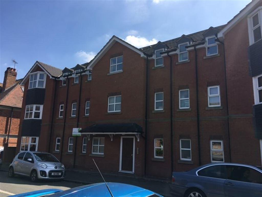
Photo 1
/ 1
Property details
Floor area
36 m²
Deprivation
Decile 3 (9,324 of 33,755)
Street crime
452 incidents within 1 mile (Apr 2026)
Key features
- KETTERING
- Apartment
- Unfurnished Property
- Sorry, No Smokers
- Sorry, No Pets Allowed
- No Garden
- 2 Bedrooms
- 1 Reception
- 2 Bathrooms
- Long Term
Description
EPC rating: B
Listed by
Kettering
Lets Rent Property Ltd
Reference: 65926258
EPC Rating & Upgrade Cost
Fetching EPC data… Refresh this page in a moment.
Flood risk
Zone: 1
Risk: Low
Job (default Low)
FENSA Certificates
This property has 1 FENSA certificate(s) on record, indicating window/door installations by FENSA-approved installers.
FENSA Certificate #5871381
Property Details
Street: 5 Russell Street
Town: KETTERING
Postcode: NN16 0EL
Installation Details
Items: 1 window
Certificate Issued: 04/08/2008
Work Completed: 06/06/2008
This certificate data was retrieved from FENSA's database
What is FENSA? FENSA (Fenestration Self-Assessment Scheme) is a government-authorised scheme that monitors building regulation compliance for replacement windows and doors. Certificates indicate that work was completed by FENSA-approved installers.
Rental Range
Estimated market rent for North Northamptonshire. Low = conservative, Realistic = average, Optimistic = best case.
Based on Local Authority from postcode lookup → North Northamptonshire.
LHA (30th percentile) floor for Northants Central: £693/mo (Apr 2025 – Mar 2026)
Location
Nearby
Nearest stations, universities and amenities (distance from property).
| Type | Name | Distance |
|---|---|---|
| Shop | Russell Street Off Licence | 0.0 miles |
| Shop | Elisse Tattoo | 0.1 miles |
| Bus stop | Police Station (opp) | 0.2 miles |
| Bus stop | School Lane (opp) | 0.2 miles |
| Train station | Kettering | 0.6 miles |
| Hospital | Procurement & Supplies Department (Stores) | 0.9 miles |
| Train station | Wicksteed Park | 1.1 miles |
| Hospital | Manfield Health Campus | 11.0 miles |
Street-level crime
| Category | Count |
|---|---|
| Violence and sexual offences | 173 |
| Anti-social behaviour | 116 |
| Public order | 33 |
| Criminal damage and arson | 32 |
| Shoplifting | 20 |
| Other theft | 19 |
| Drugs | 17 |
| Vehicle crime | 11 |
| Burglary | 9 |
| Possession of weapons | 7 |
| Other crime | 6 |
| Robbery | 6 |
| Bicycle theft | 2 |
| Theft from the person | 1 |
| Total incidents | 452 |
Within 1 mile during Apr 2026. Source: data.police.uk (England & Wales).
Schools nearby
Nearest open schools with Ofsted ratings (England). Closed schools are not shown. Data from Get Information about Schools and Ofsted.
| Name | Type | Distance | Ofsted |
|---|---|---|---|
| St Mary's Church of England Voluntary Aided Primary School | Primary | 0.3 miles | Good — 13 Jun 2011 |
| Compass Primary Academy | Primary | 0.4 miles | Good — 28 Jun 2023 |
| Kettering Science Academy | Secondary | 0.5 miles | Good — 18 Sep 2023 |
| Hawthorn Community Primary School | Primary | 0.5 miles | Good — 4 Oct 2023 |
| St Peter's School | Other | 0.6 miles | — (No rating) |
Rental Comparables
Rental listings exist nearby, but none matched the 2-bedroom count for this property.