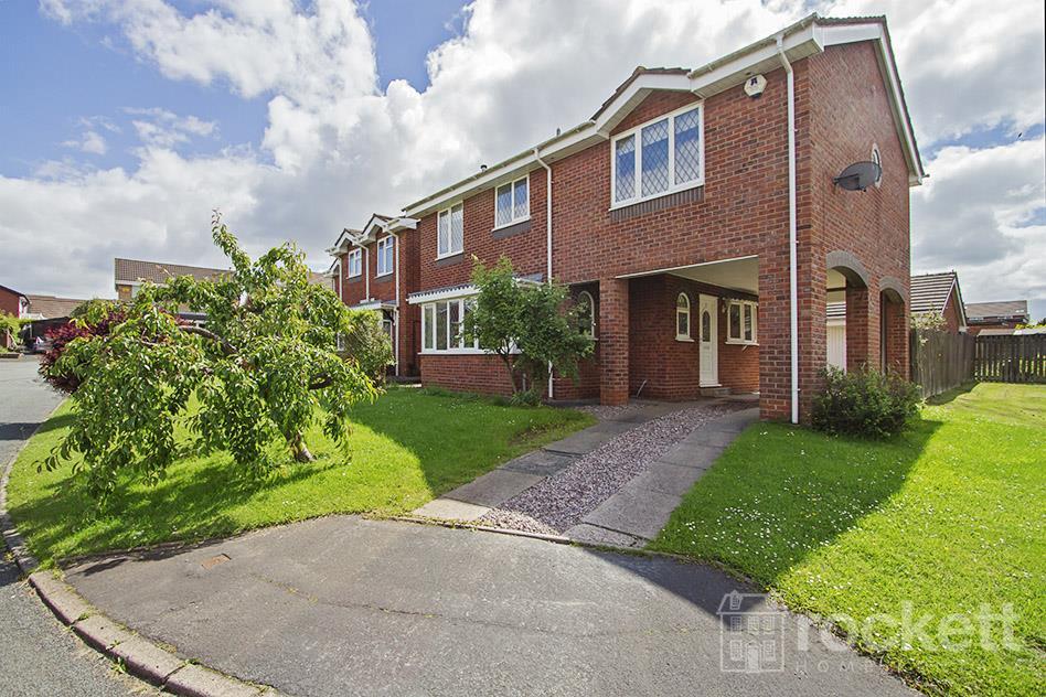
5 ENSTONE COURT
NEWCASTLE, NEWCASTLE, STAFFORDSHIRE ST5 4JE
£1,295 pcm
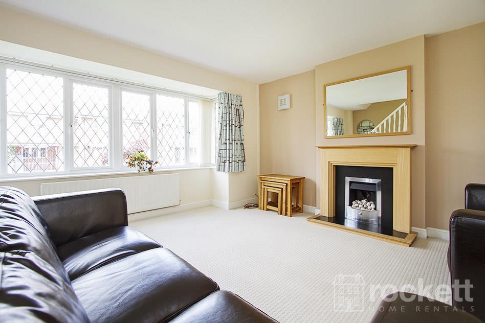
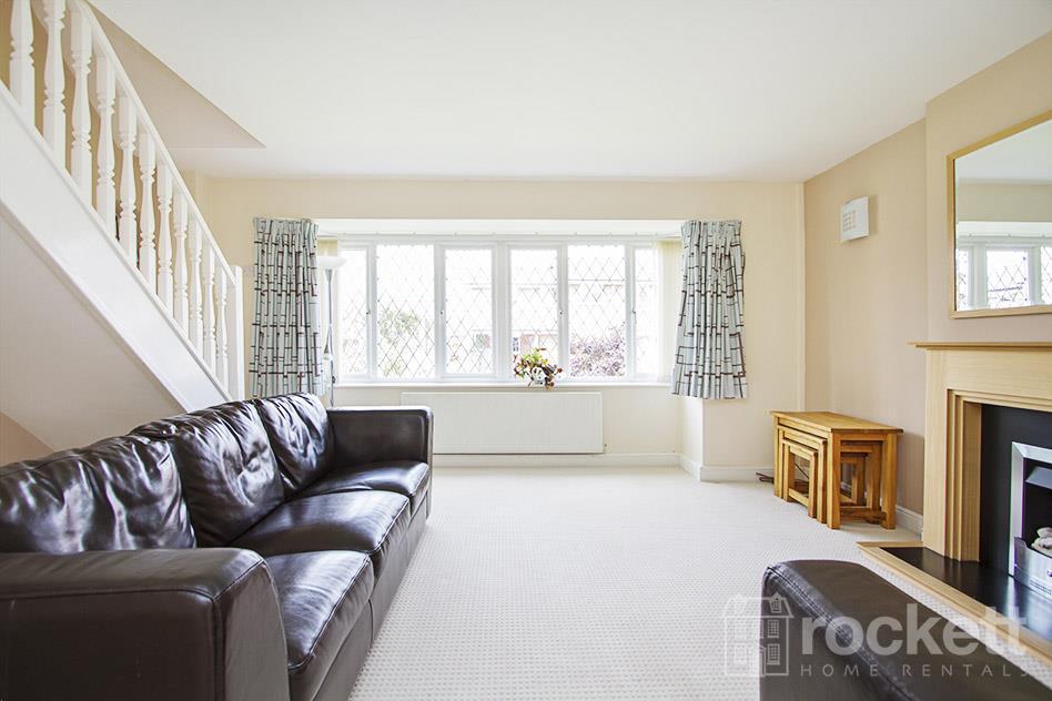
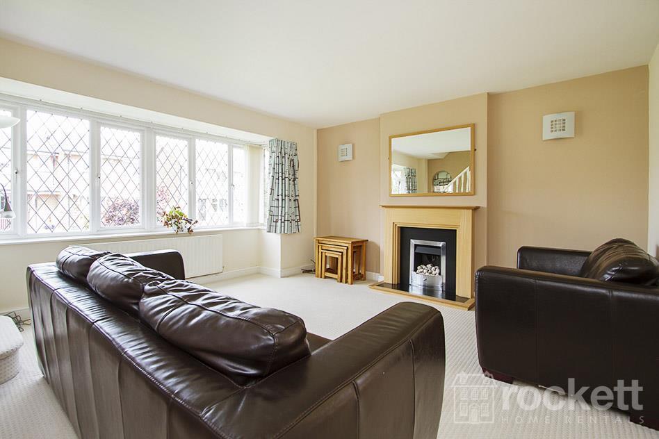

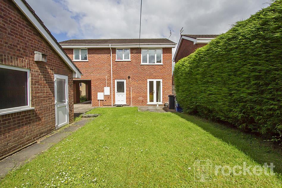
Property details
Floor area
109 m²
Council tax band
D
Deprivation
Decile 10 (32,168 of 33,755)
Street crime
53 incidents within 1 mile (Apr 2026)
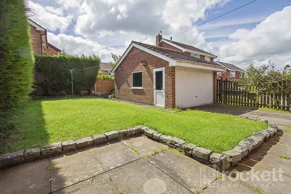
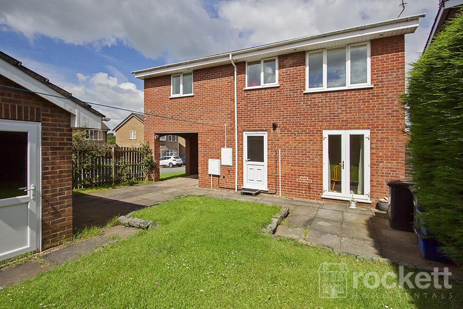
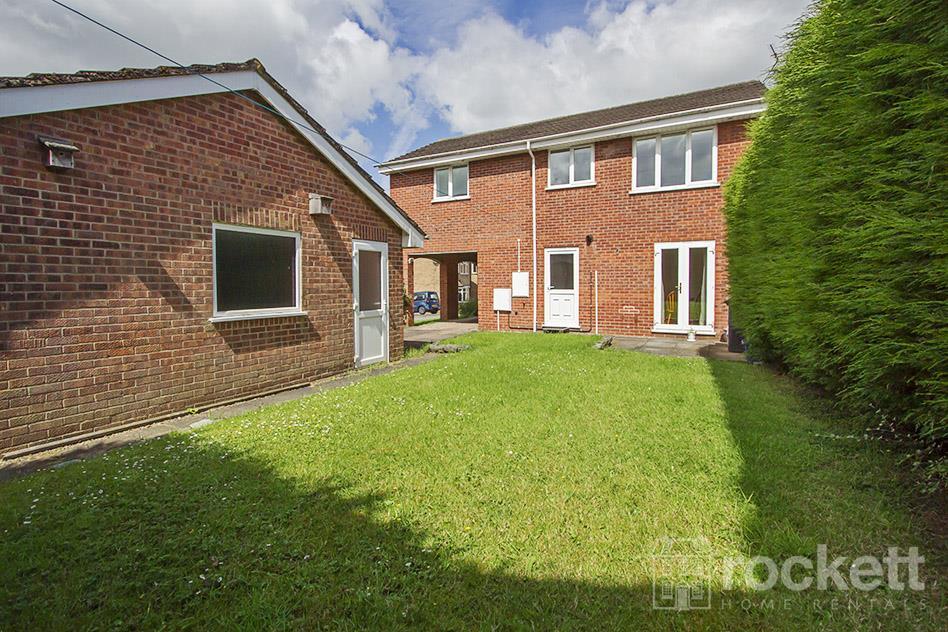
Additional details
- Parking
- Garage, Driveway
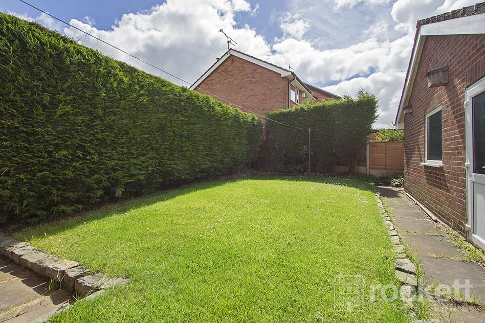
- Garden
- Yes
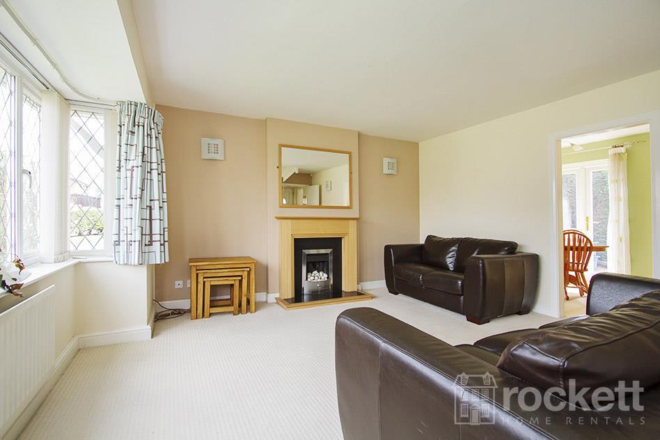
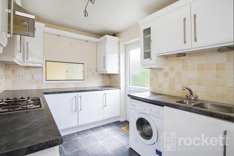
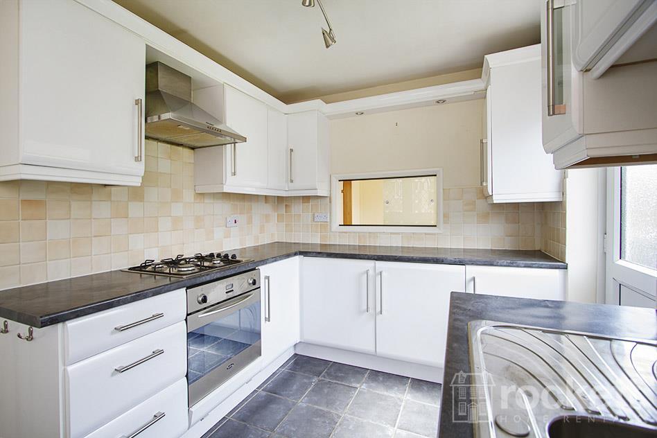
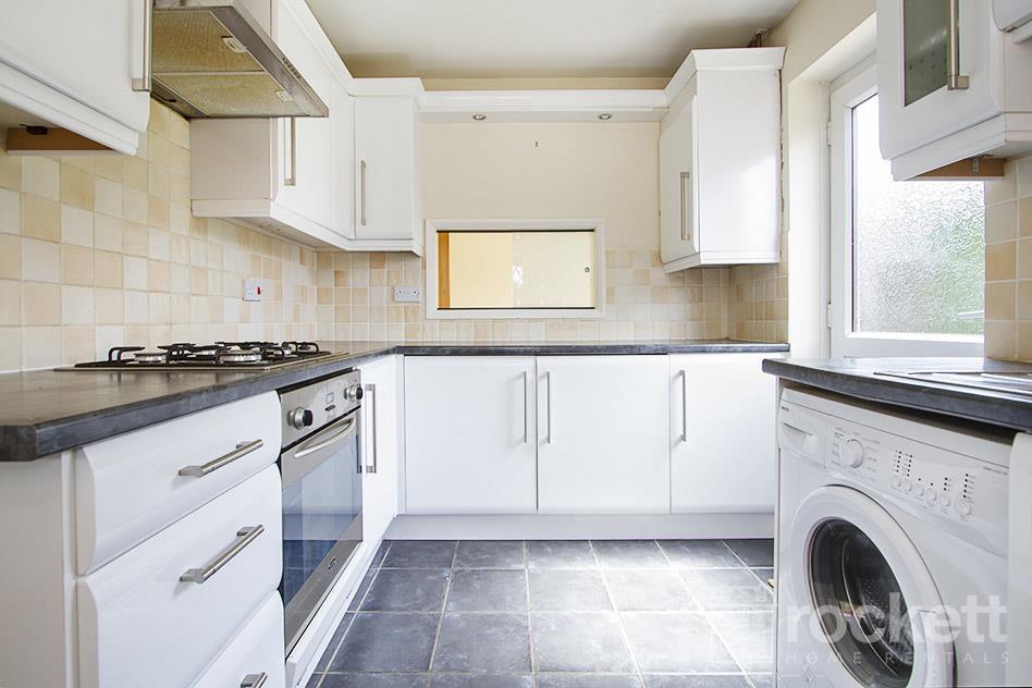
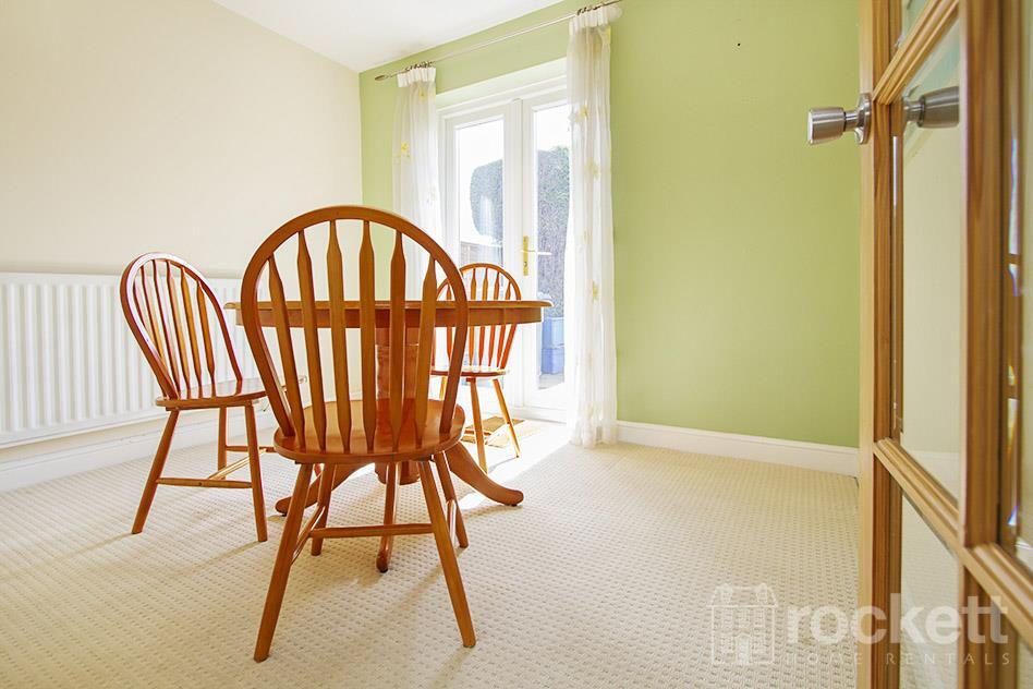
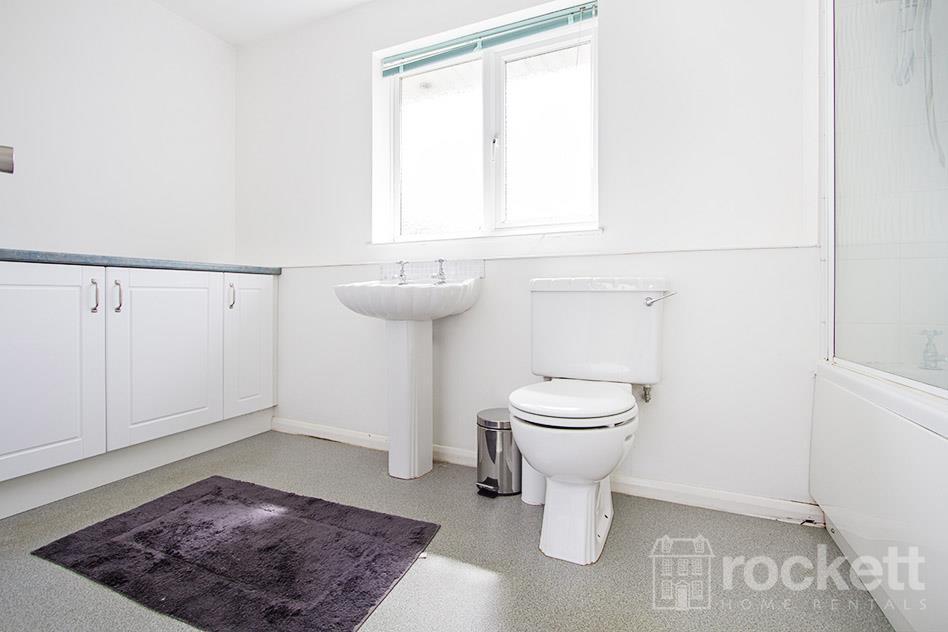
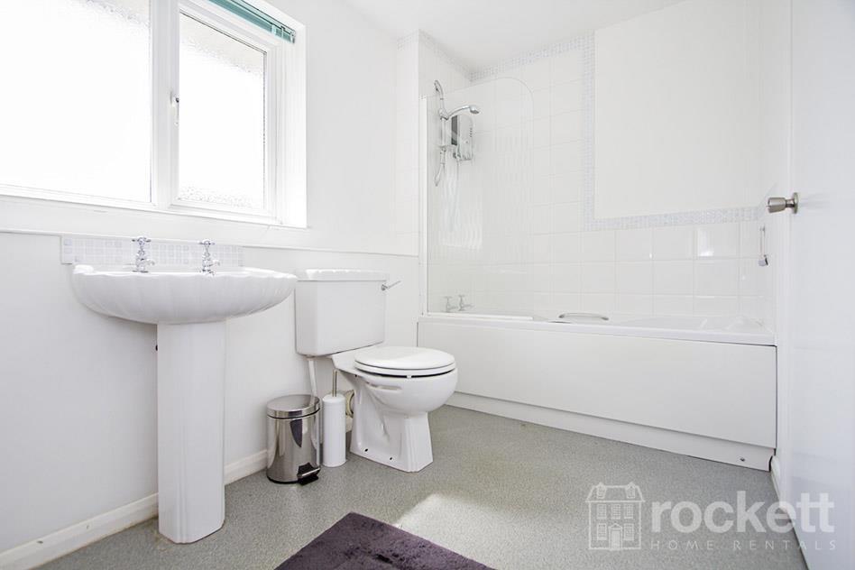
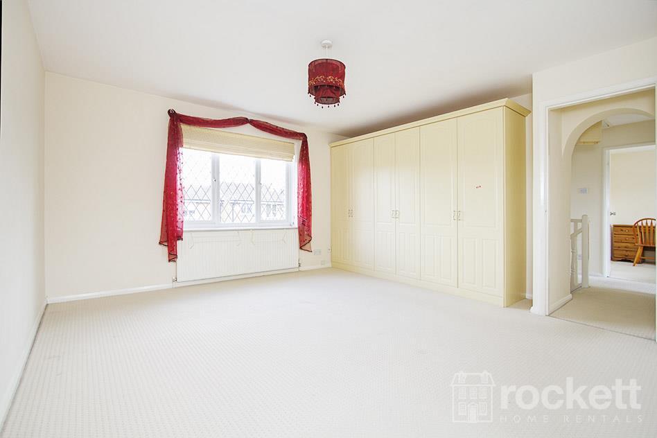
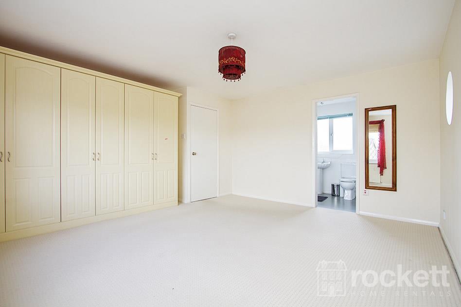
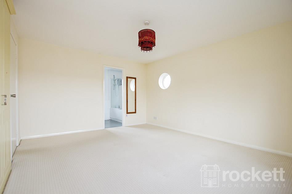
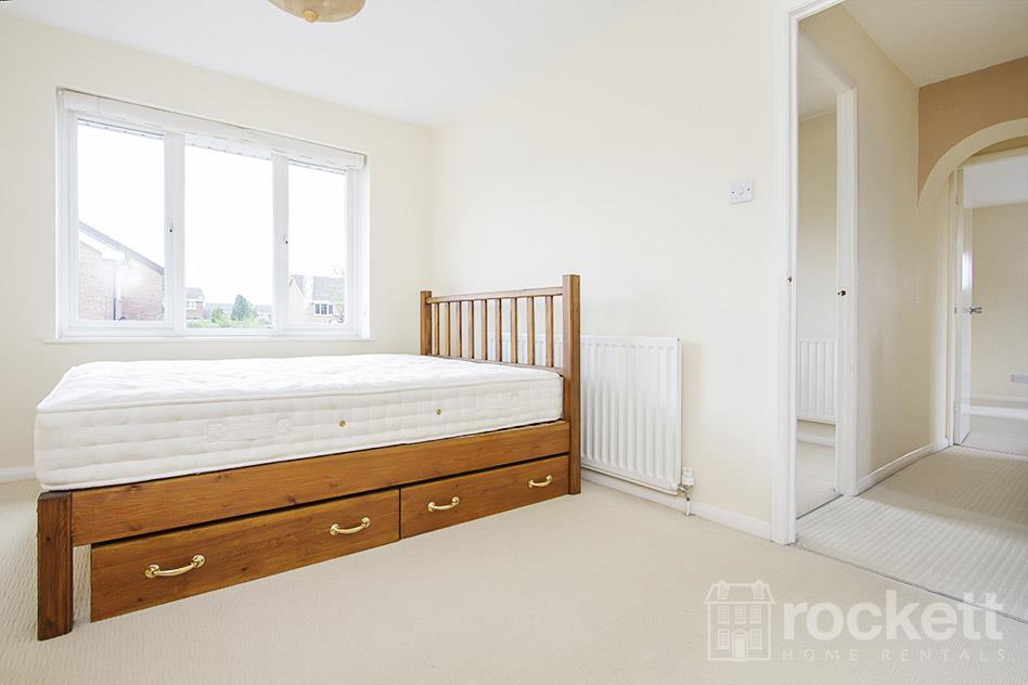
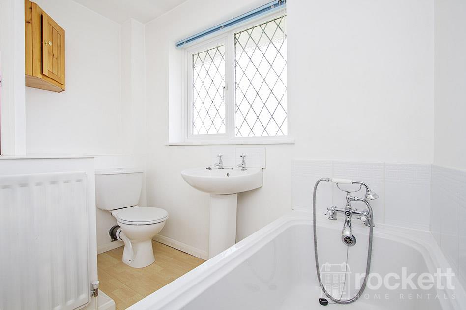
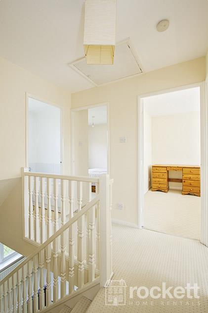
Description
We have created a brochure full of lots of information on the property for you:
Listed by
Wolstanton
Rockett Home Rentals Ltd
Reference: 174552863
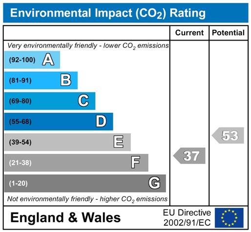
EPC Rating & Upgrade Cost
Fetching EPC data… Refresh this page in a moment.
Flood risk
Zone: 1
Risk: Low
Job (default Low)
EPC Graphs
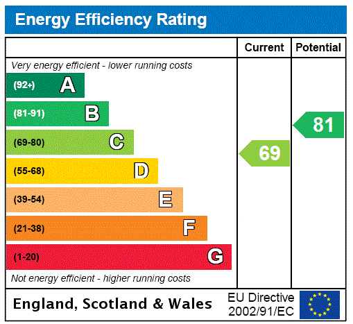
EPC Rating Graph
FENSA Certificates
This property has 1 FENSA certificate(s) on record, indicating window/door installations by FENSA-approved installers.
FENSA Certificate #1578905
Property Details
Street: 5 ENSTONE COURT
Town: NEWCASTLE
Postcode: ST5 4JE
Installation Details
Items: 16 windows and 2 doors
Certificate Issued: 22/03/2004
Work Completed: 08/03/2004
This certificate data was retrieved from FENSA's database
What is FENSA? FENSA (Fenestration Self-Assessment Scheme) is a government-authorised scheme that monitors building regulation compliance for replacement windows and doors. Certificates indicate that work was completed by FENSA-approved installers.
Rental Range
Estimated market rent for Newcastle-under-Lyme. Low = conservative, Realistic = average, Optimistic = best case.
Based on Local Authority from postcode lookup → Newcastle-under-Lyme.
LHA (30th percentile) floor for Staffordshire North: £798/mo (Apr 2025 – Mar 2026)
Location
Nearby
Nearest stations, universities and amenities (distance from property).
| Type | Name | Distance |
|---|---|---|
| Bus stop | Terrington Drive | 0.0 miles |
| Shop | Co-op Food | 0.2 miles |
| Hospital | North Staffordshire Nuffield Hospital | 0.3 miles |
| Shop | Premier | 0.4 miles |
| Hospital | Harplands Hospital | 1.4 miles |
| University | Keele University | 2.1 miles |
| Train station | Trentham Leisure | 2.1 miles |
| Train station | Unknown | 2.4 miles |
| University | University of Staffordshire Stoke Campus | 2.7 miles |
Street-level crime
| Category | Count |
|---|---|
| Violence and sexual offences | 21 |
| Anti-social behaviour | 15 |
| Criminal damage and arson | 6 |
| Public order | 6 |
| Other crime | 2 |
| Drugs | 1 |
| Other theft | 1 |
| Vehicle crime | 1 |
| Total incidents | 53 |
Within 1 mile during Apr 2026. Source: data.police.uk (England & Wales).
Schools nearby
Nearest open schools with Ofsted ratings (England). Closed schools are not shown. Data from Get Information about Schools and Ofsted.
| Name | Type | Distance | Ofsted |
|---|---|---|---|
| Our Lady and St Werburgh's Catholic Primary School | Primary | 0.4 miles | Good — 11 Apr 2014 |
| Clayton Hall Academy | Secondary | 0.5 miles | Good — 18 Mar 2024 |
| Seabridge Primary School | Primary | 0.7 miles | Good — 22 Mar 2012 |
| Langdale Primary School | Primary | 0.8 miles | Good — 15 Sep 2024 |
| St Teresa's Catholic (A) Primary School | Primary | 1.2 miles | Good — 5 May 2017 |
Rental Comparables
Residential lets from OpenRent and Rightmove for the area (same bedroom count). Use to validate rent estimates. Student lets are excluded.
Average rent: £1,435/mo (13 listings)