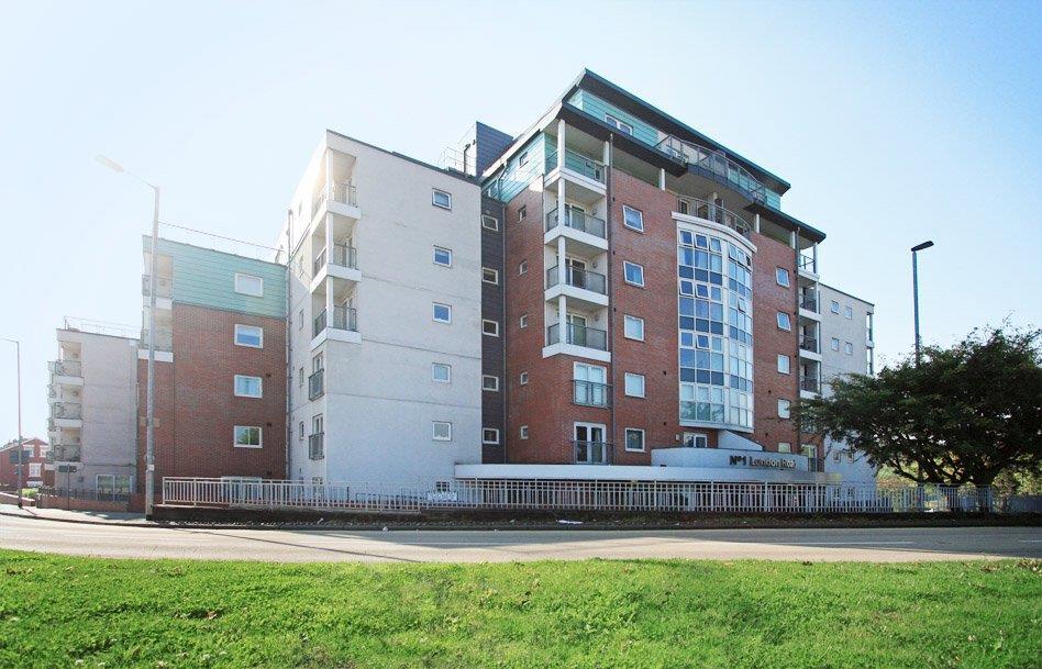
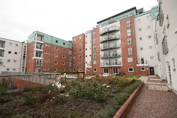
Windsor Court
No.1 London Road, Newcastle Under Lyme, Staffordshire, ST5, ST5 1NY
£1,195 pcm

Property details
Floor area
73 m²
Council tax band
C
Deprivation
Decile 4 (10,391 of 33,755)
Street crime
345 incidents within 1 mile (May 2026)
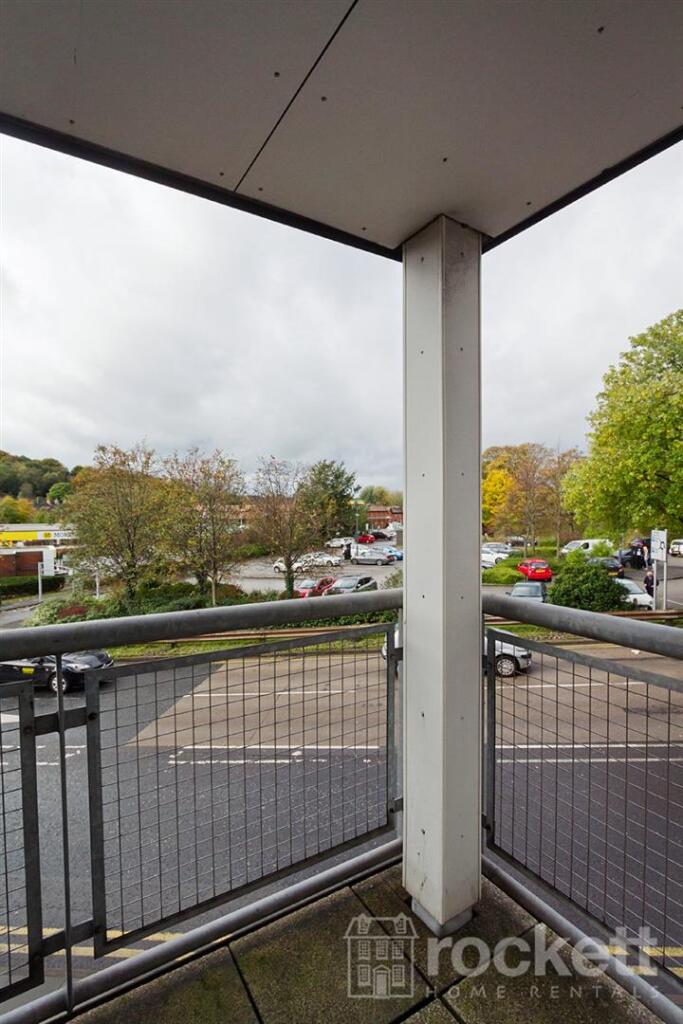
Additional details
- Parking
- Allocated
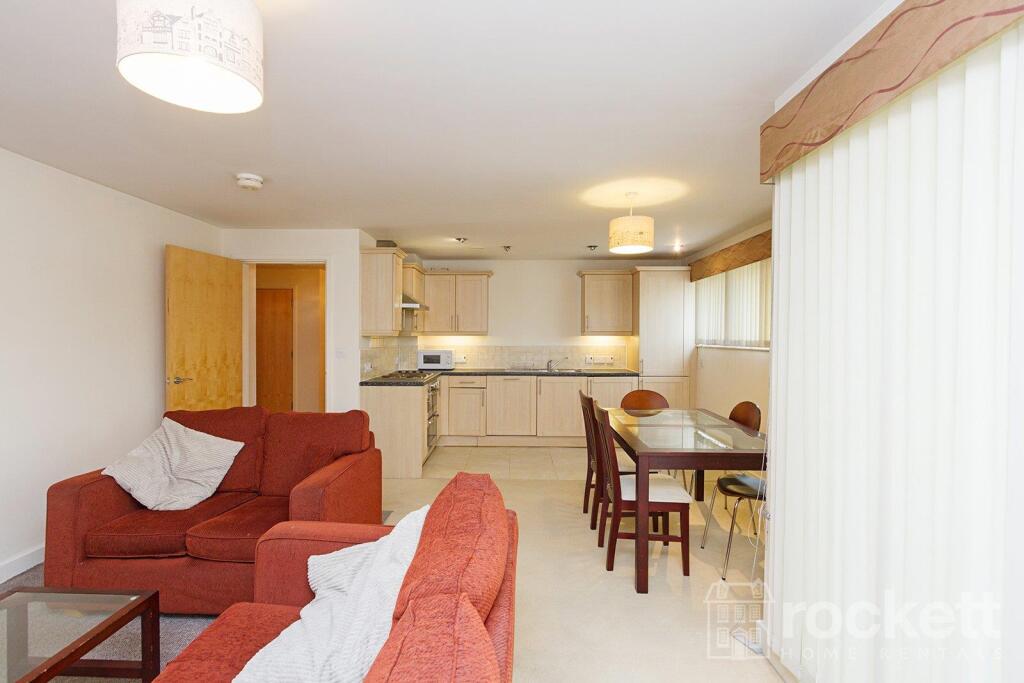
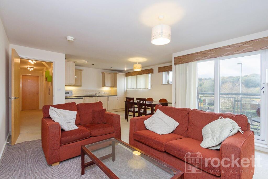
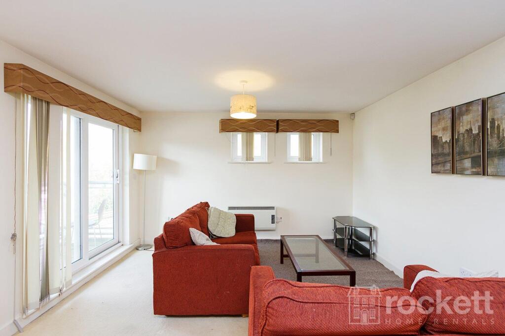
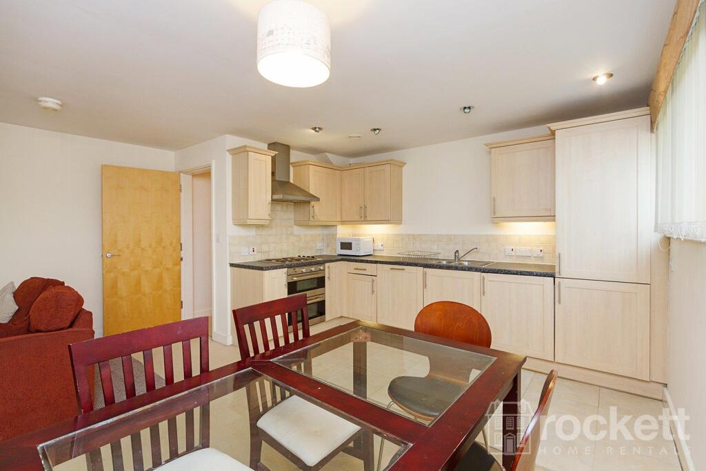
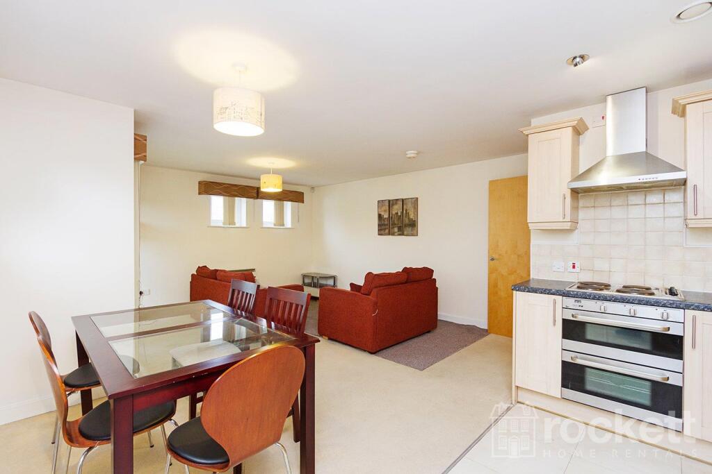
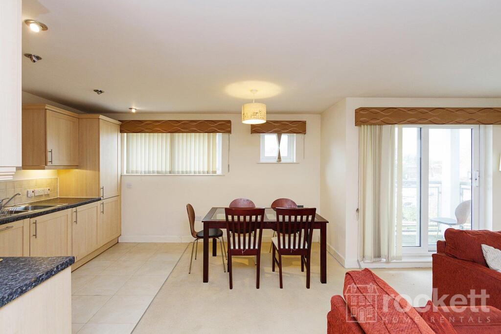
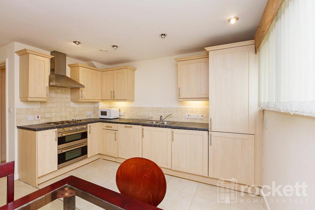
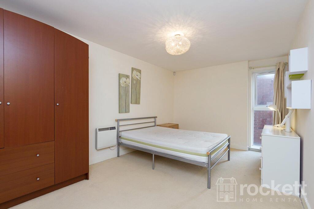
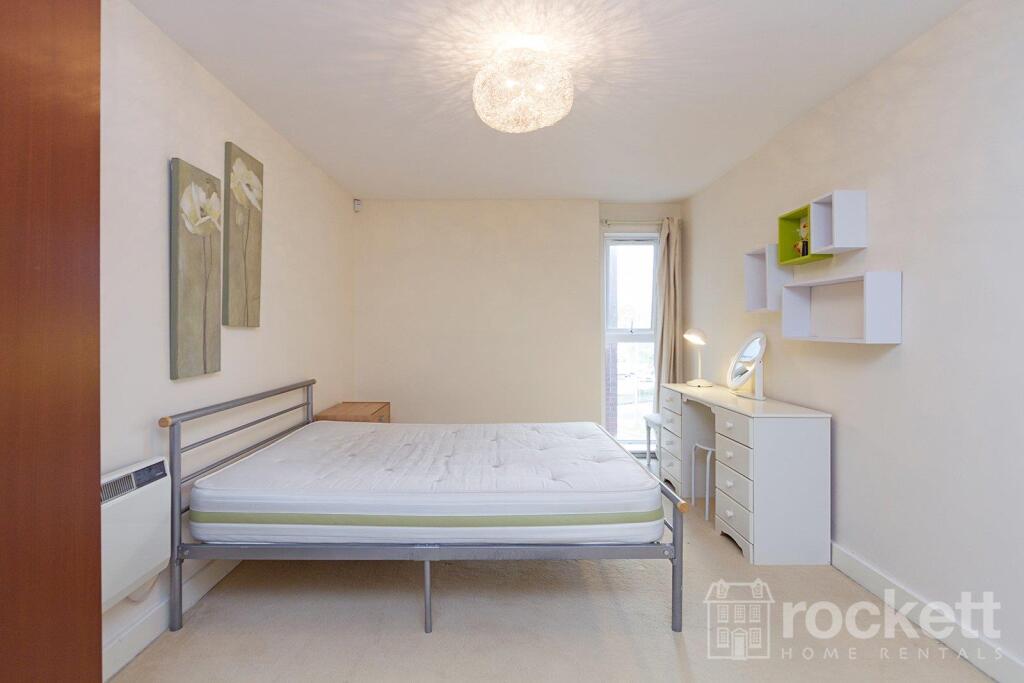
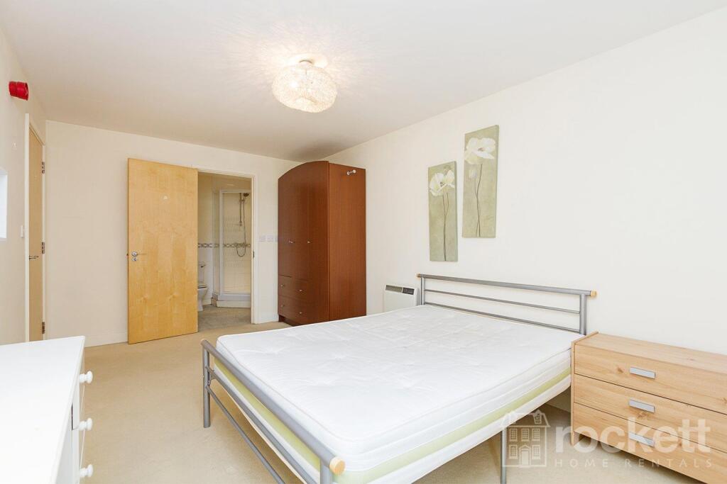
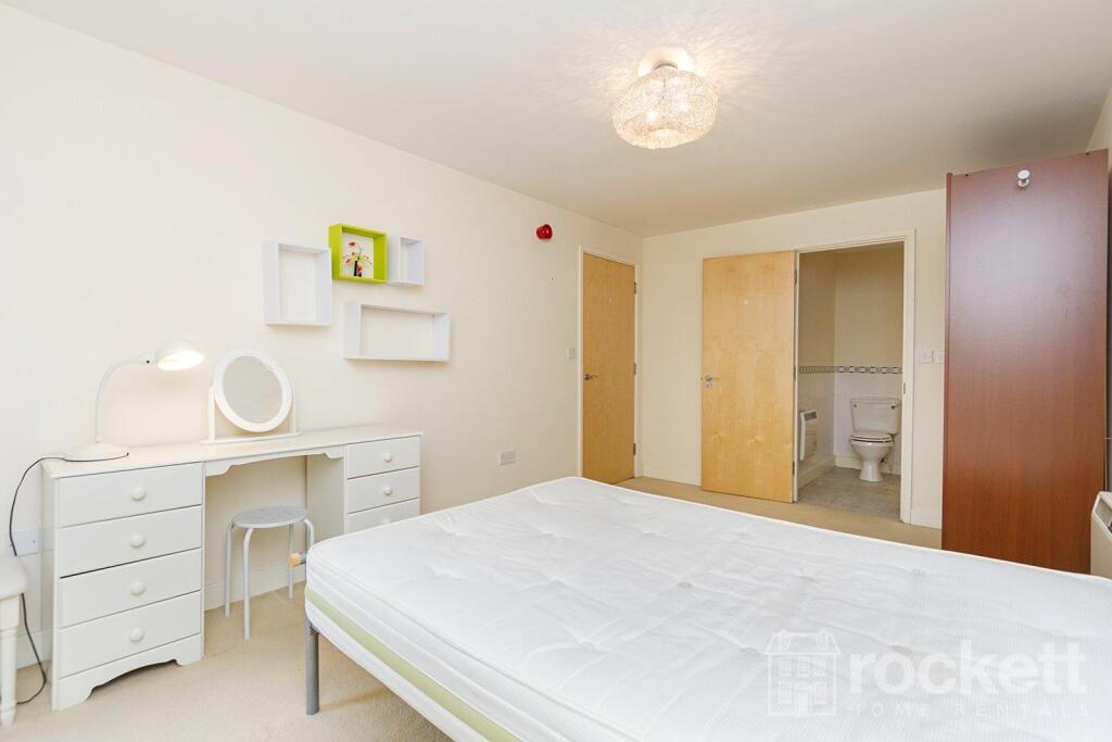
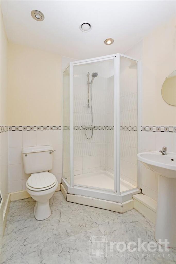
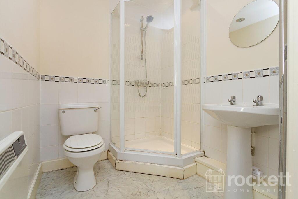
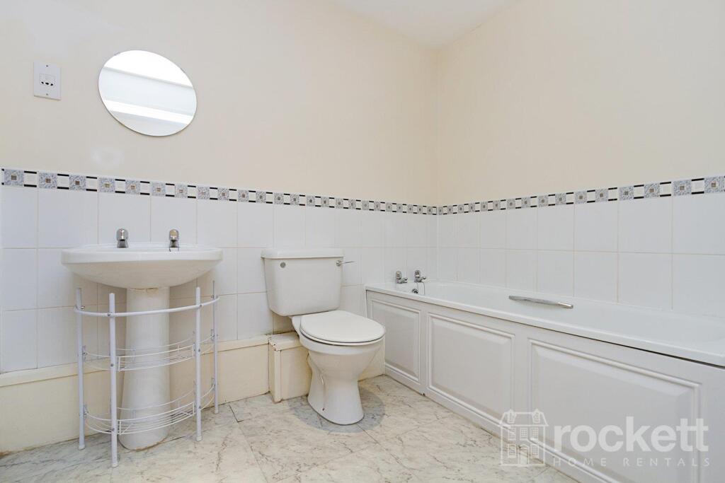
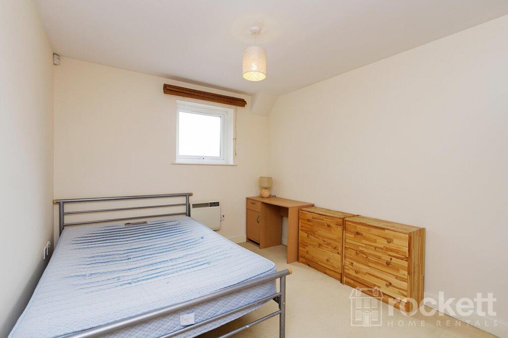
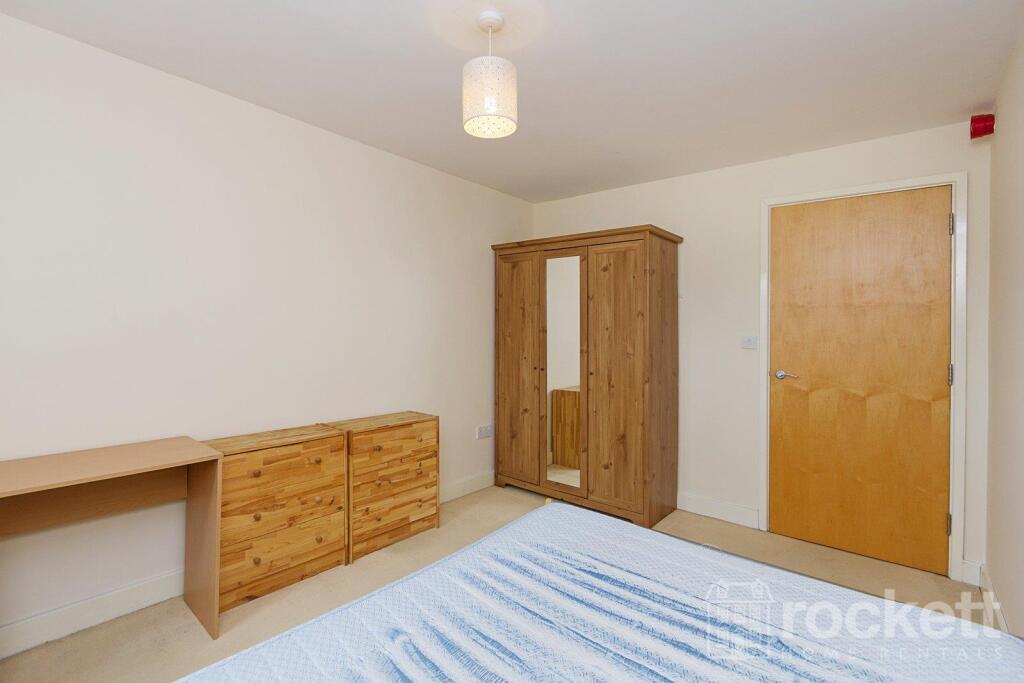
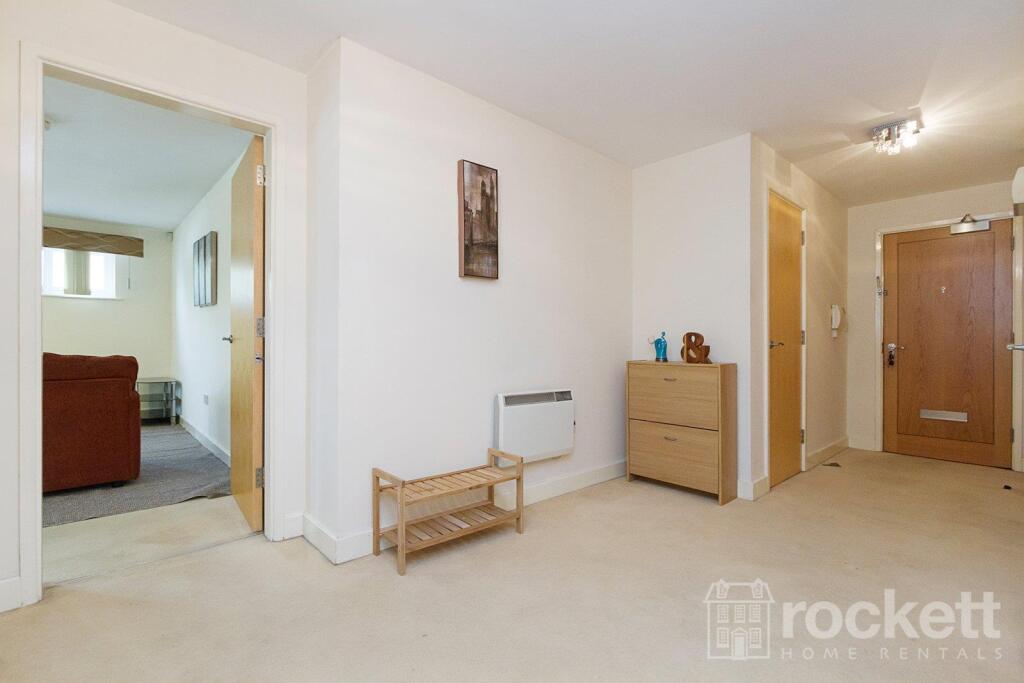
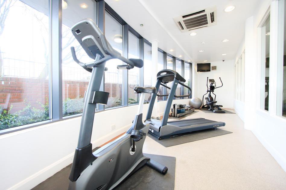
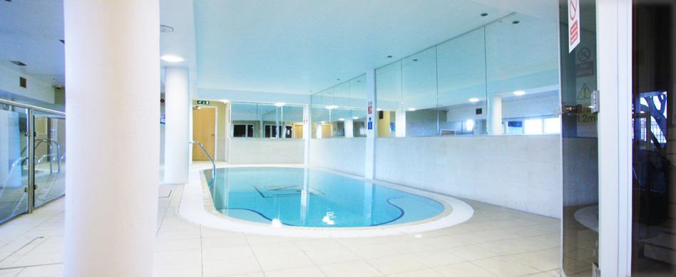
Description
This property is managed by the landlord.
We have created a brochure for you full of lots of information on the property:
Listed by
Wolstanton
Rockett Home Rentals Ltd
Reference: 89379255
Flood risk
Zone: 1
Risk: Low
Job (default Low)
EPC Graphs
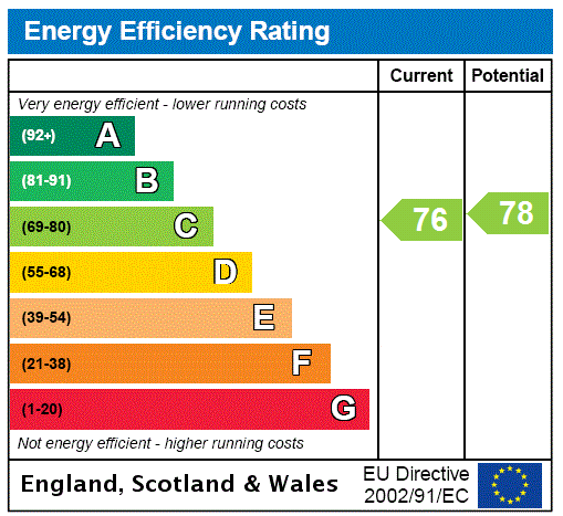
EPC Rating Graph
Rental Range
Estimated market rent for Newcastle-under-Lyme. Low = conservative, Realistic = average, Optimistic = best case.
Based on Local Authority from postcode lookup → Newcastle-under-Lyme.
LHA (30th percentile) floor for Staffordshire North: £479/mo (Apr 2025 – Mar 2026)
Location
Address
1 London Road
Nearby
Nearest stations, universities and amenities (distance from property).
| Type | Name | Distance |
|---|---|---|
| Bus stop | Cherry Tree PH | 0.1 miles |
| Bus stop | Lyme Valley Road | 0.1 miles |
| Shop | Timpson | 0.1 miles |
| Shop | Sports Direct | 0.2 miles |
| Hospital | Royal Stoke University Hospital | 0.6 miles |
| Hospital | North Staffordshire Nuffield Hospital | 1.4 miles |
| Train station | Stoke-on-Trent | 1.8 miles |
| University | Keele University | 2.0 miles |
| Train station | Longport | 2.4 miles |
| University | University of Buckingham Crewe Campus | 10.1 miles |
Street-level crime
| Category | Count |
|---|---|
| Violence and sexual offences | 144 |
| Anti-social behaviour | 67 |
| Public order | 30 |
| Shoplifting | 22 |
| Criminal damage and arson | 19 |
| Other theft | 19 |
| Drugs | 16 |
| Burglary | 11 |
| Vehicle crime | 6 |
| Bicycle theft | 5 |
| Robbery | 4 |
| Other crime | 1 |
| Theft from the person | 1 |
| Total incidents | 345 |
Within 1 mile during May 2026. Source: data.police.uk (England & Wales).
Schools nearby
Nearest open schools with Ofsted ratings (England). Closed schools are not shown. Data from Get Information about Schools and Ofsted.
| Name | Type | Distance | Ofsted |
|---|---|---|---|
| Hassell Primary School | Primary | 0.1 miles | Good — 25 Oct 2023 |
| Blackfriars Academy | Other | 0.3 miles | Outstanding — 6 Feb 2013 |
| Newcastle-under-Lyme School | Other | 0.3 miles | — (No rating) |
| St Giles' and St George's Church of England Academy | Primary | 0.4 miles | Good — 21 May 2023 |
| Co-op Academy Friarswood | Primary | 0.4 miles | Good — 8 Mar 2013 |
Rental Comparables
Residential lets from OpenRent and Rightmove for the area (same bedroom count). Use to validate rent estimates. Student lets are excluded.
Average rent: £922/mo (62 listings)