38 LEMSFORD ROAD
ST ALBANS, HERTFORDSHIRE AL1 3PG
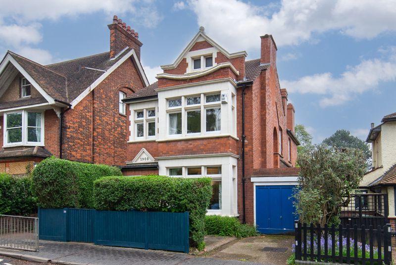
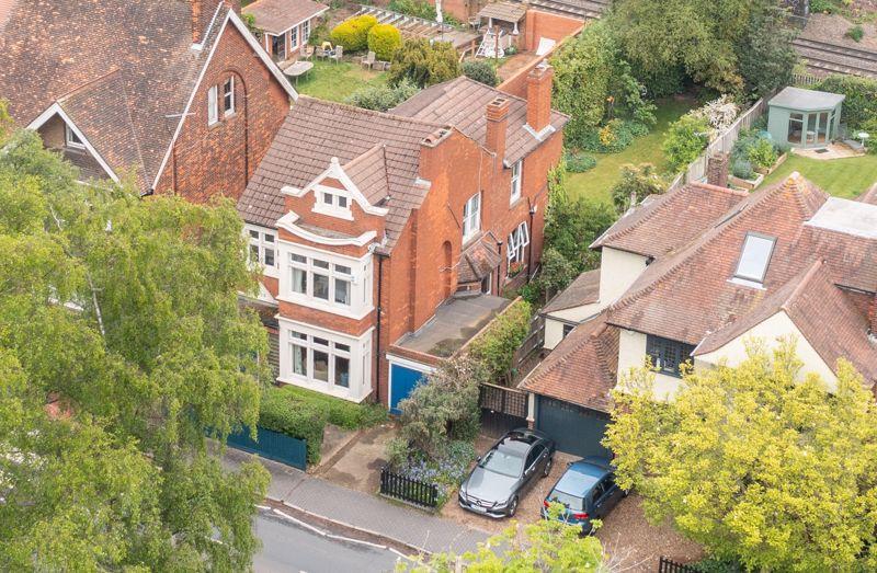
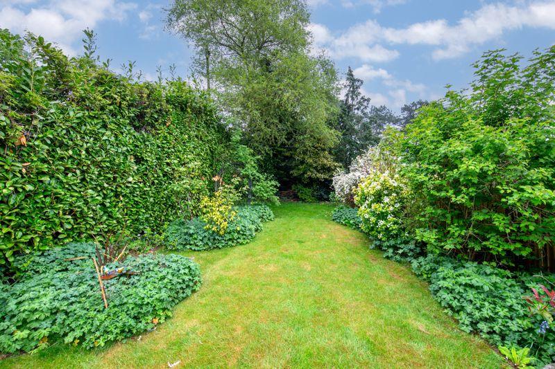
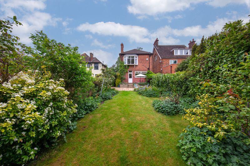
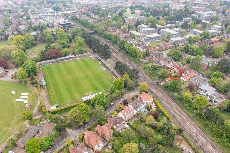
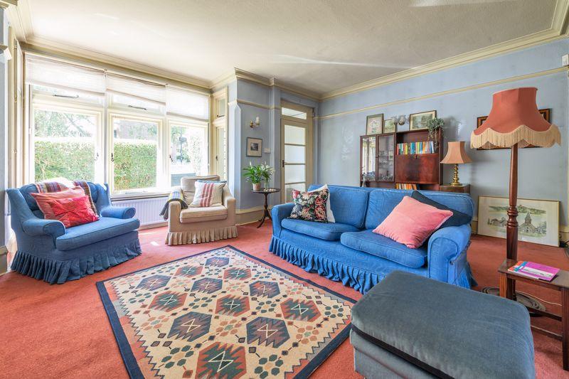
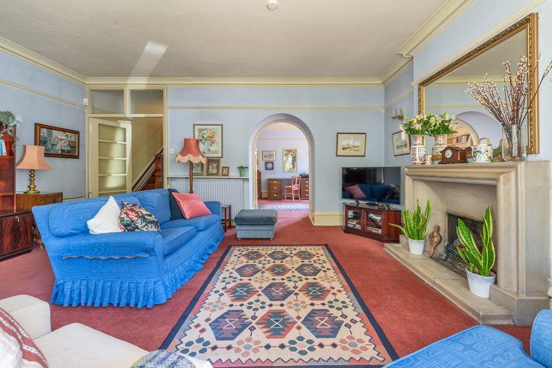
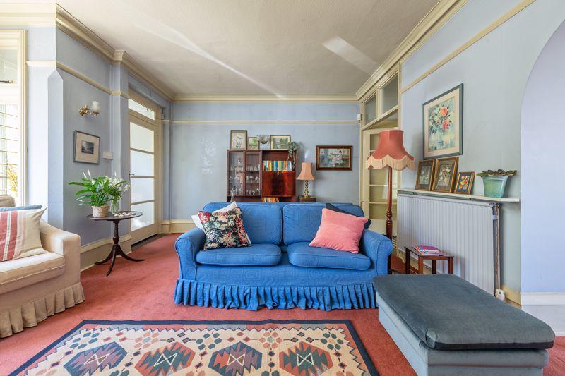
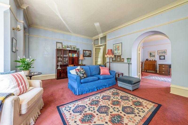
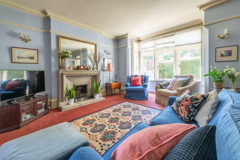
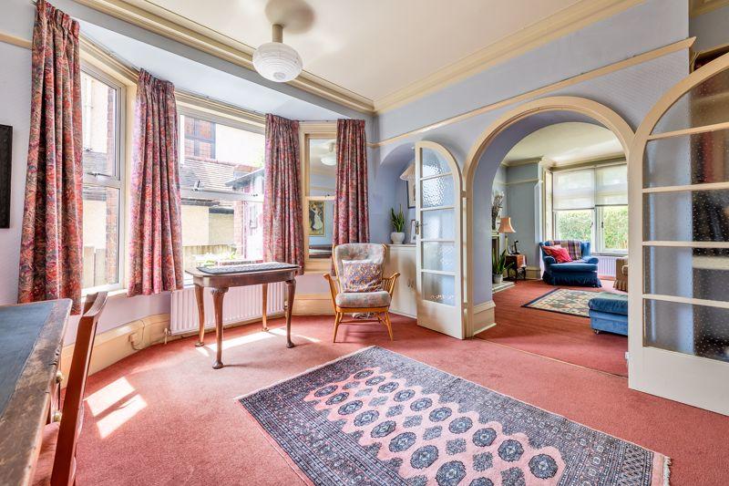
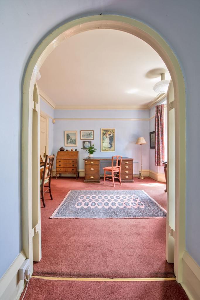

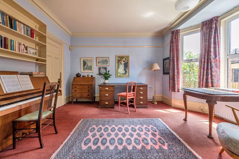
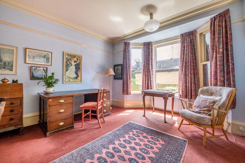
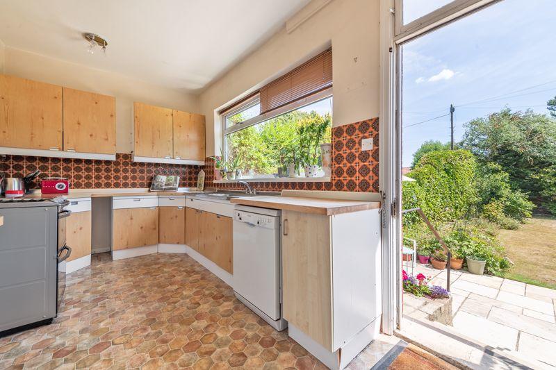
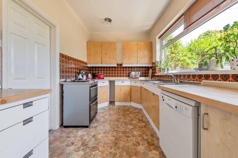
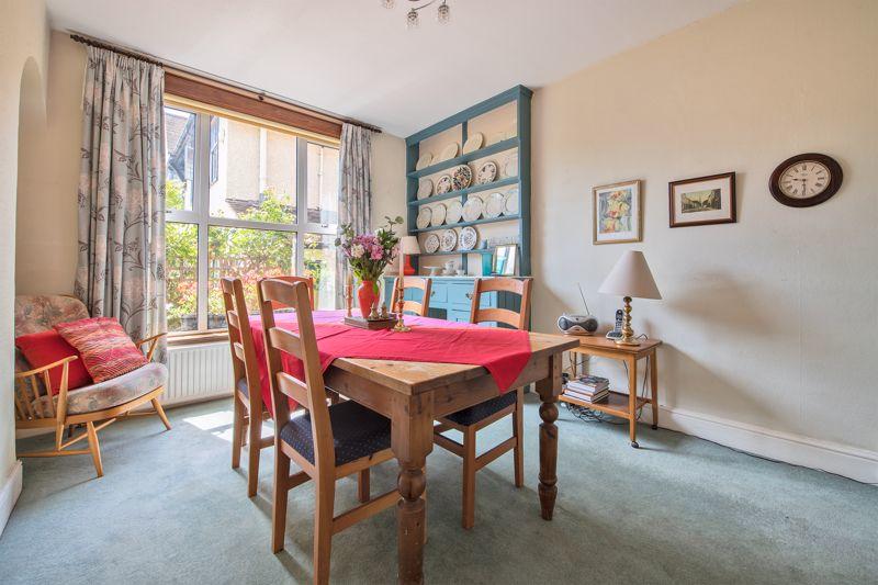
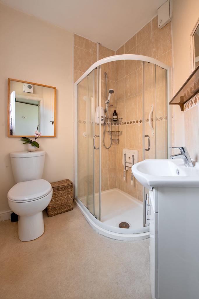
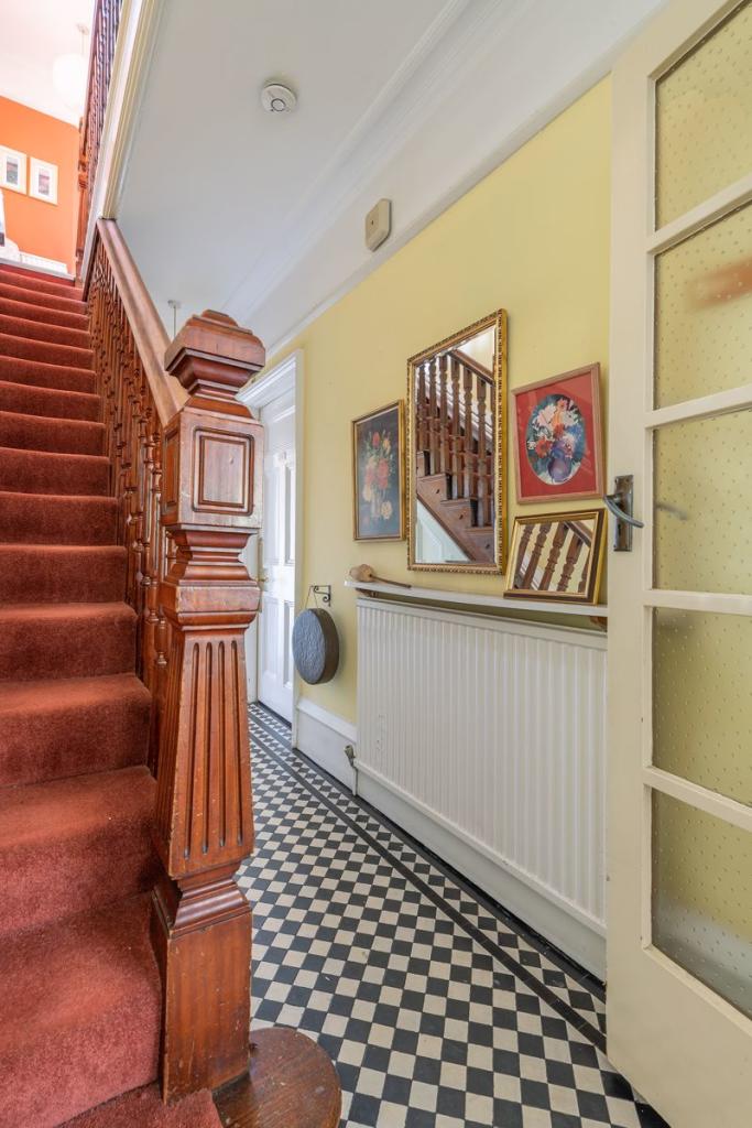
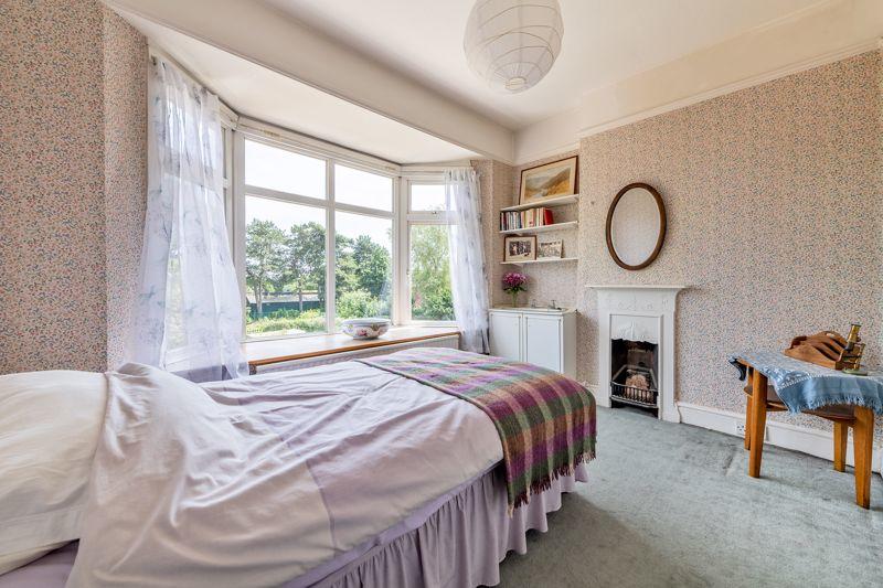
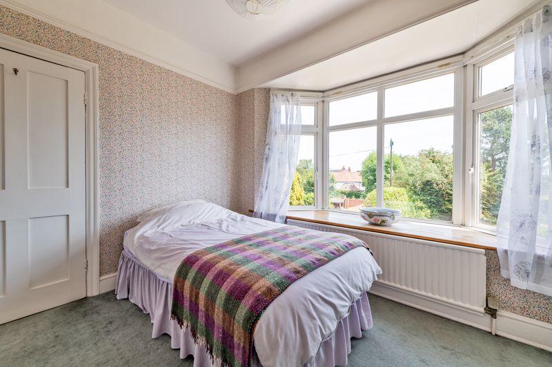
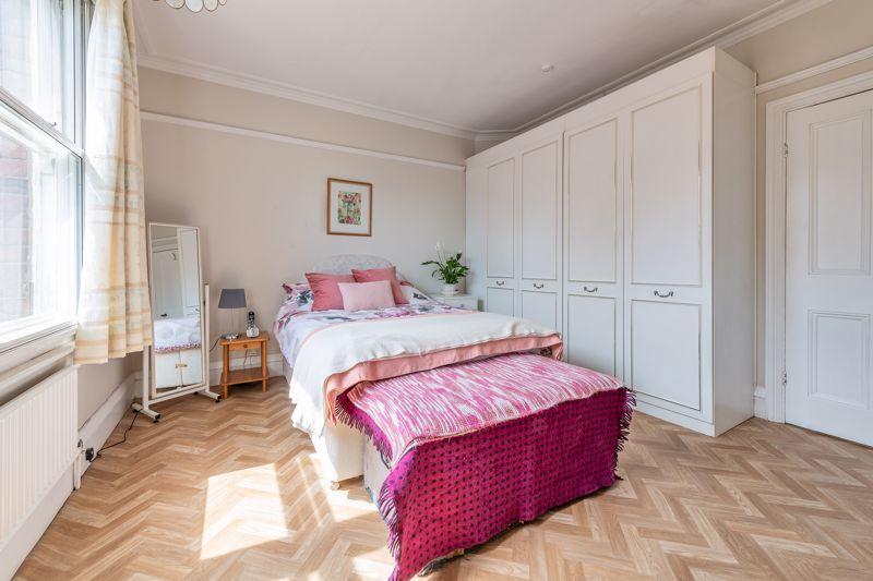
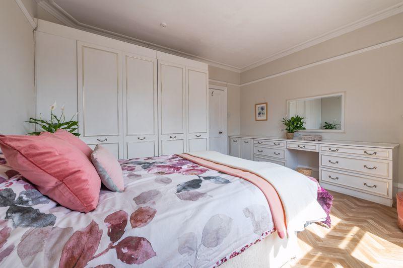
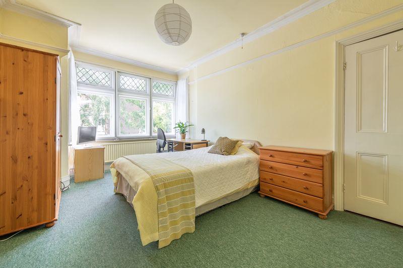
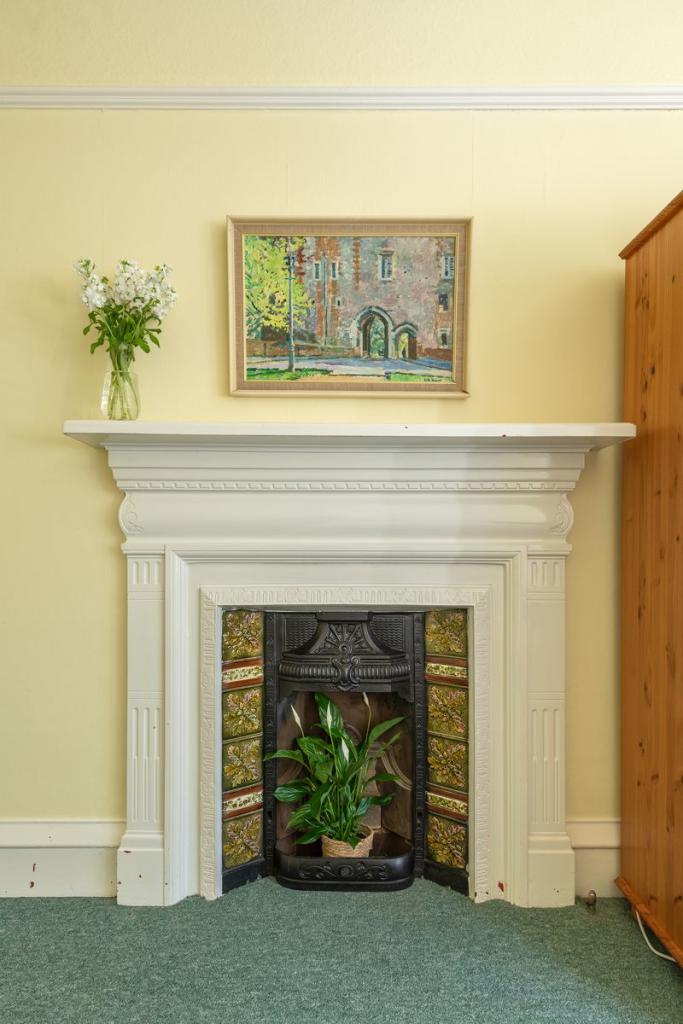
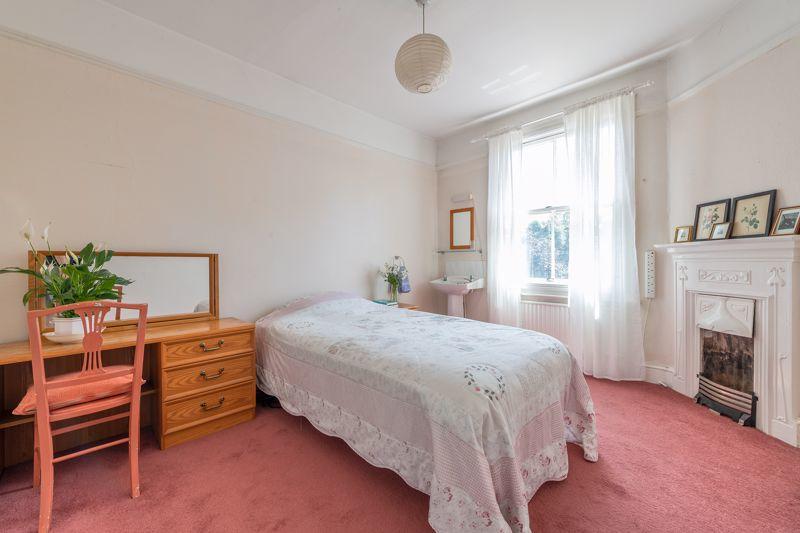
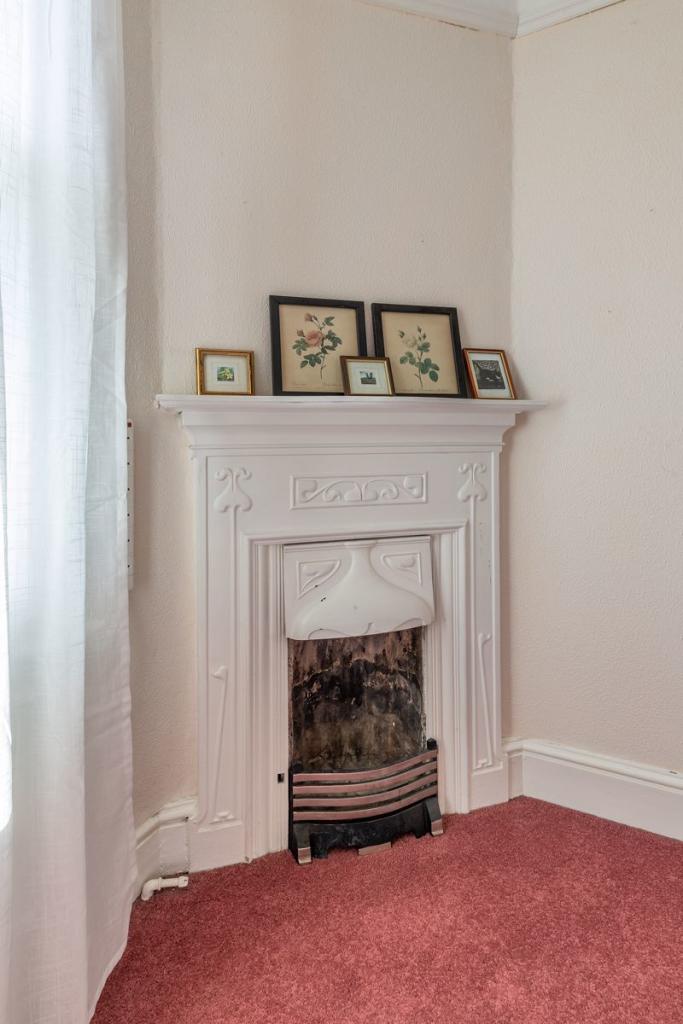
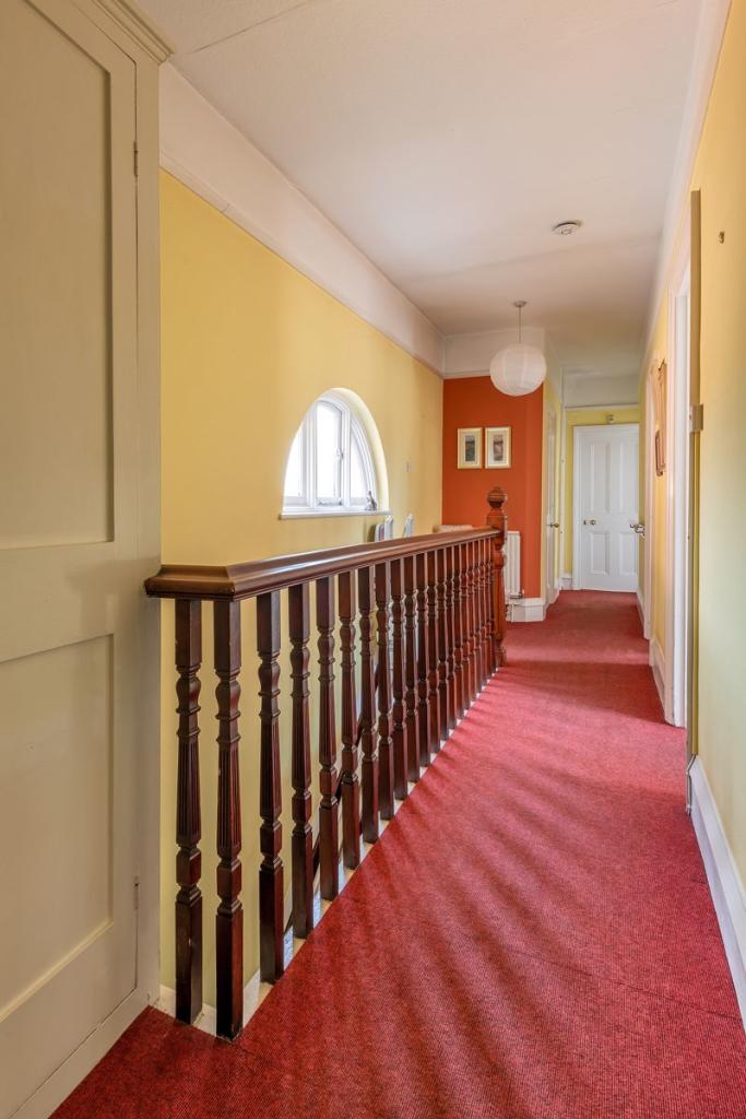
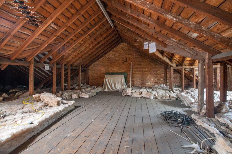
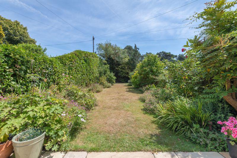
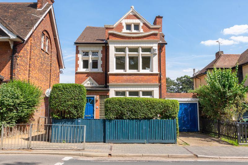

Photo 16 Photo 16 Photo 3 Photo 28 Photo 17 Photo 35 Photo 37 Photo 36 Photo 38 Photo 39 Photo 20 Photo 27 Photo 21 Photo 22 Photo 41 Photo 40 Photo 23 Photo 33 Photo 24 Photo 32 Photo 26 Photo 25 Photo 34 Photo 33 Photo 28 Photo 29 Photo 36 Photo 35 Photo 30 Photo 35 Photo 33 Photo 36 Photo 30
/ 33
Property details
Tenure
FREEHOLD
Floor area
166 m²
Council tax band
G
EPC rating
E
Last sold
£1,242,700 Mar 2023
Price per m²
£7,530/m²
Local average
£1,494,823 (-16.4%)
Deprivation
Decile 8 (25,813 of 33,755)
Street crime
290 incidents within 1 mile (Apr 2026)
Key features
- FIVE BEDROOM Edwardian detached house within short walking distance of station, city centre and Clarence park
- Beautiful character features throughout
- THREE good sized reception rooms ideal for entertaining
- Requires some updating but offers excellent potential to extend or reconfigure with the added benefit of a large loft space (subject to consent)
- GARAGE and off street parking
- Well screened front garden and mature private rear garden (approx. 70') with terrace
- Gas central heating - EPC rating 'E'
- Tenure: FREEHOLD Council tax: Band 'E'
- NO CHAIN
Additional details
- Parking
- Yes
- Garden
- Yes
Description
Listed by
St. Albans
Herts Homes
Reference: 130585847
EPC Rating & Upgrade Cost
Current rating: E
Potential rating: C
Inspection date: 04/05/2022
Expiry date: 03/05/2032
Current heating cost: £1,505/year
Potential heating cost: £820/year
Est. upgrade cost to C: £19,545
Recommendations
- 50 mm internal or external wall insulation (£4,000 - £14,000)
- Floor insulation (suspended floor) (£800 - £1,200)
- Low energy lighting for all fixed outlets (£45)
- Solar water heating (£4,000 - £6,000)
- Solar photovoltaic panels, 2.5 kWp (£3,500 - £5,500)
Flood risk
Zone: 1
Risk: Low
Job (default Low)
Floorplans
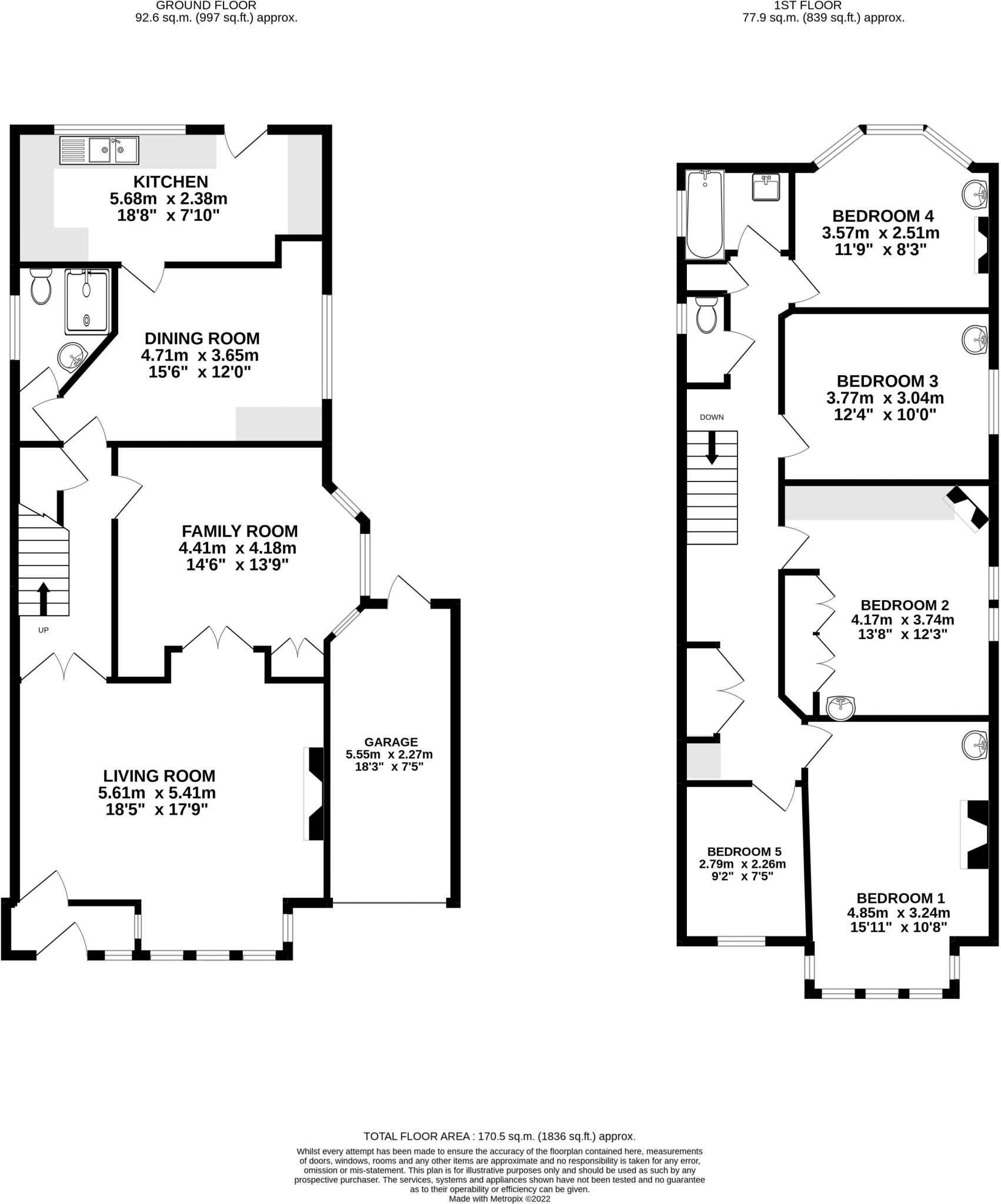
Floorplan 1
EPC Graphs

Energy Performance Certificate
Price history
| Event | Date | Price | % change |
|---|---|---|---|
| Sold | 10/03/2023 (3 years ago) | £1,242,700 | — |
Source: HM Land Registry Price Paid Data. Crown copyright.
Sold Comparables
Same street and nearby sales within 0.25 miles (last 5 years). Data from Land Registry Price Paid.
| Address | Price | Date | Type |
|---|---|---|---|
| 13 ALTHORP ROAD, ST ALBANS, HERTFORDSHIRE, AL1 3PH | £1,355,000 | 05/12/2025 | Detached |
| 28 GAINSBOROUGH AVENUE, ST ALBANS, HERTFORDSHIRE, AL1 4NL | £1,470,000 | 28/03/2025 | Detached |
| 6 HILLSIDE ROAD, ST ALBANS, HERTFORDSHIRE, AL1 3QL | £2,225,000 | 16/12/2022 | Detached |
| 15 ALTHORP ROAD, ST ALBANS, HERTFORDSHIRE, AL1 3PH | £1,450,000 | 12/08/2022 | Detached |
| 30 GAINSBOROUGH AVENUE, ST ALBANS, HERTFORDSHIRE, AL1 4NL | £1,540,000 | 29/07/2022 | Detached |
| 18 GAINSBOROUGH AVENUE, ST ALBANS, HERTFORDSHIRE, AL1 4NL | £1,725,000 | 16/02/2022 | Detached |
| 35 ST PETERS ROAD, ST ALBANS, HERTFORDSHIRE, AL1 3SR | £2,790,000 | 21/01/2022 | Detached |
| 48 LEMSFORD ROAD, ST ALBANS, HERTFORDSHIRE, AL1 3PR | £2,191,000 | 09/11/2021 | Detached |
| 36 AVENUE ROAD, ST ALBANS, HERTFORDSHIRE, AL1 3QB | £1,965,000 | 12/10/2021 | Detached |
| 8 LEMSFORD ROAD, ST ALBANS, HERTFORDSHIRE, AL1 3PB | £1,075,000 | 21/06/2021 | Detached |
Area average: £1,778,600 (10 sales)
Capital growth trend
Land Registry outcode average: last 12 months vs 5y and 10y ago (from sold prices).
House Price Index (HM Land Registry — official index, not sold-price averages): St Albans. Series: Detached. As of March 2026.
Rental Range
Estimated market rent for St Albans. Low = conservative, Realistic = average, Optimistic = best case.
Based on Local Authority from postcode lookup → St Albans.
LHA (30th percentile) floor for Bedford: £1,296/mo (Apr 2025 – Mar 2026)
Location
Nearby
Nearest stations, universities and amenities (distance from property).
| Type | Name | Distance |
|---|---|---|
| Bus stop | Walton Street | 0.2 miles |
| Shop | What Alice Wore | 0.3 miles |
| Shop | Madina General Stores | 0.3 miles |
| Train station | St Albans City | 0.3 miles |
| Hospital | NHS Albany Lodge and St Albans Children Centre | 0.7 miles |
| Hospital | St Albans City Hospital | 0.8 miles |
| Train station | St Albans Abbey | 1.0 miles |
| University | University of Hertfordshire, de Havilland Campus | 3.3 miles |
| University | University of Hertfordshire | 3.6 miles |
Street-level crime
| Category | Count |
|---|---|
| Violence and sexual offences | 82 |
| Anti-social behaviour | 67 |
| Other theft | 31 |
| Shoplifting | 28 |
| Criminal damage and arson | 17 |
| Public order | 15 |
| Drugs | 11 |
| Burglary | 10 |
| Vehicle crime | 10 |
| Other crime | 6 |
| Theft from the person | 6 |
| Bicycle theft | 5 |
| Possession of weapons | 1 |
| Robbery | 1 |
| Total incidents | 290 |
Within 1 mile during Apr 2026. Source: data.police.uk (England & Wales).
Schools nearby
Nearest open schools with Ofsted ratings (England). Closed schools are not shown. Data from Get Information about Schools and Ofsted.
| Name | Type | Distance | Ofsted |
|---|---|---|---|
| Loreto College | Secondary | 0.2 miles | — (Inspected (no overall grade)) |
| Maple Primary School | Primary | 0.2 miles | Good — 22 Nov 2021 |
| St Albans High School for Girls | Other | 0.3 miles | — (No rating) |
| Alban City School | Primary | 0.3 miles | Good — 27 Mar 2014 |
| Bernards Heath Infant and Nursery School | Primary | 0.4 miles | Good — 14 Nov 2011 |
Rental Comparables
Loading rental comparables for this postcode. Refresh in a few minutes.
Rent-driven metrics
Based on Area rent estimate.
- Rent ratio — Monthly rent ÷ purchase price (1% rule). 1%+ = strong, 0.8–1% = okay, <0.8% = weak for cashflow.
- Max investor price — Rent ÷ 0.8%; the price at which rent would be 0.8% of price (Stoke-style target).
- Target investor price — Rent ÷ 1%; the price at which rent would be 1% of price (strong cashflow band).
- Gross yield — Annual rent as % of purchase price (no costs).