60 PRIORY ROAD
PETERBOROUGH, CITY OF PETERBOROUGH PE3 9EE
£895 pcm
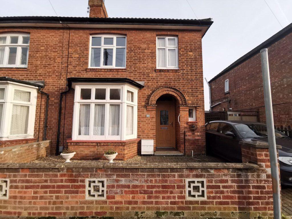
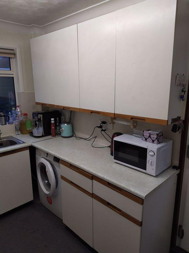
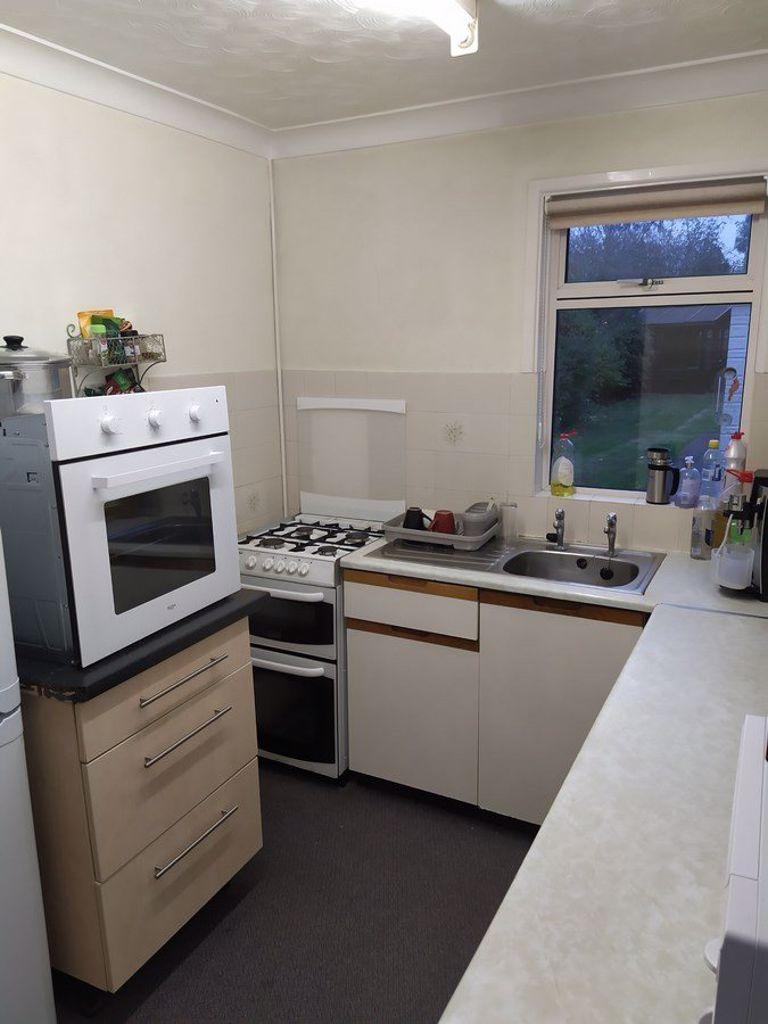
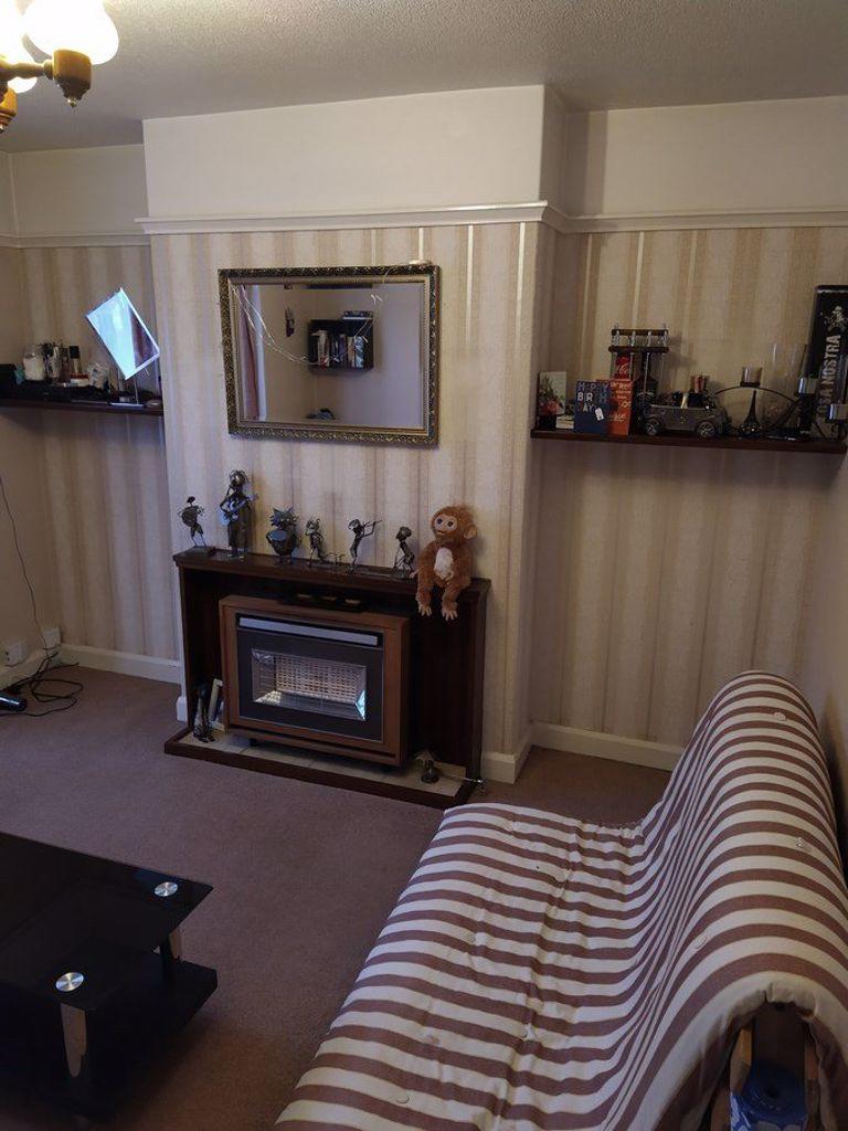
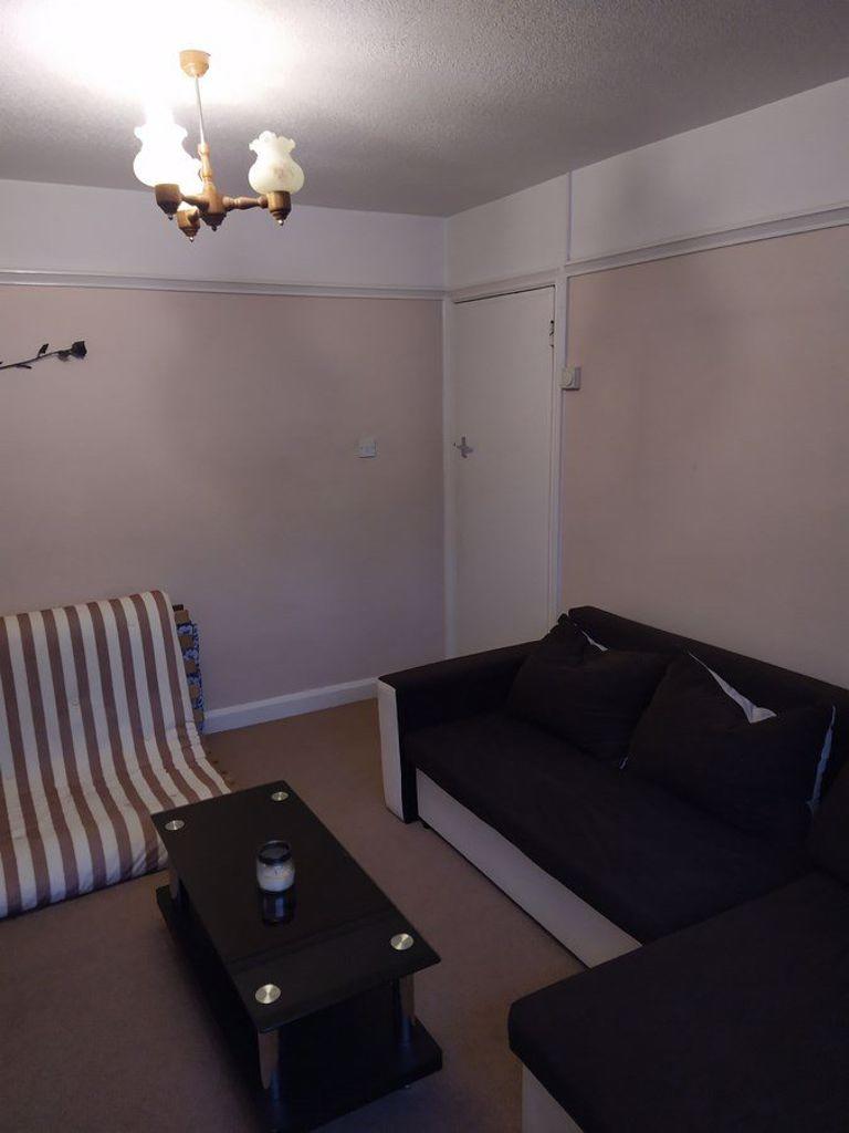
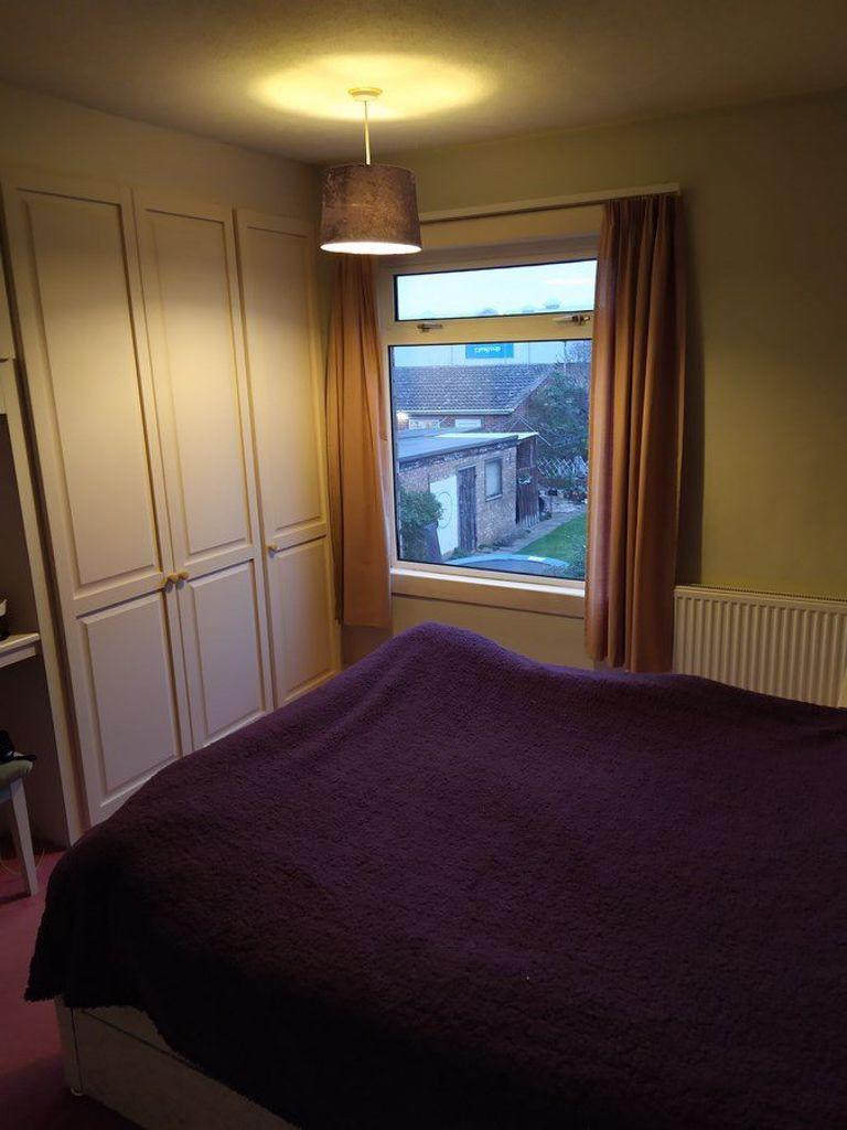
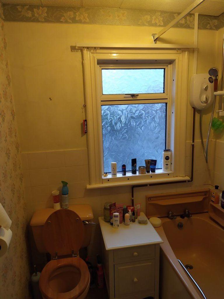
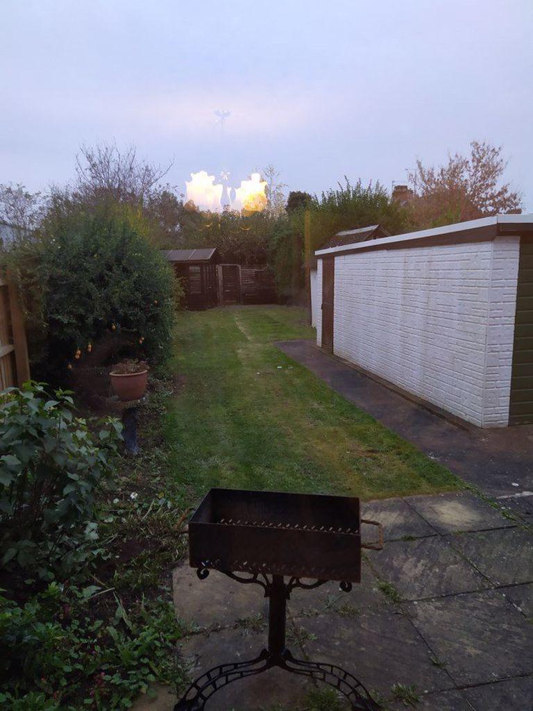
Photo 1 Photo 2 Photo 3 Photo 4 Photo 5 Photo 6 Photo 7 Photo 8
/ 8
Property details
Floor area
89 m²
EPC rating
D
Year built
England and Wales: 1900-1929
Deprivation
Decile 2 (6,040 of 33,755)
Street crime
663 incidents within 1 mile (Apr 2026)
Key features
- WEST TOWN
- Semi-Detached
- Unfurnished Property
- Children Welcome
- Sorry, No Smokers
- Sorry, No Pets Allowed
- Medium Sized Garden
- Driveway Parking Available
- 3 Bedrooms
- 2 Receptions
Additional details
- Parking
- Yes
- Garden
- Yes
Description
Listed by
Peterborough
PropertyLine
Reference: 87185225
EPC Rating & Upgrade Cost
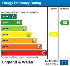
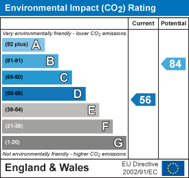
Current rating: D
Potential rating: B
Inspection date: 17/12/2018
Expiry date: 16/12/2028
Recommendations
- 50 mm internal or external wall insulation (14,000)
- Floor insulation (suspended floor) (1,200)
- Draughtproof single-glazed windows (120)
- Solar water heating (6,000)
- Solar photovoltaic panels, 2.5 kWp (8,000)
Flood risk
Zone: 1
Risk: Low
Job (default Low)
EPC Graphs
EPC 1
EPC 2
FENSA Certificates
This property has 1 FENSA certificate(s) on record, indicating window/door installations by FENSA-approved installers.
FENSA Certificate #9702192
Property Details
Street: 60 Priory Road
Town: PETERBOROUGH
Postcode: PE3 9EE
Installation Details
Items: 2 windows
Certificate Issued: 05/08/2013
Work Completed: 23/07/2013
This certificate data was retrieved from FENSA's database
What is FENSA? FENSA (Fenestration Self-Assessment Scheme) is a government-authorised scheme that monitors building regulation compliance for replacement windows and doors. Certificates indicate that work was completed by FENSA-approved installers.
Rental Range
Estimated market rent for Peterborough. Low = conservative, Realistic = average, Optimistic = best case.
Based on Local Authority from postcode lookup → Peterborough.
LHA (30th percentile) floor for Peterborough: £808/mo (Apr 2025 – Mar 2026)
Location
Nearby
Nearest stations, universities and amenities (distance from property).
| Type | Name | Distance |
|---|---|---|
| Bus stop | Prison | 0.1 miles |
| Shop | Unknown | 0.2 miles |
| Shop | Ummah Halal Meats | 0.2 miles |
| Train station | Peterborough | 0.6 miles |
| Hospital | Peterborough City Hospital | 0.8 miles |
| University | City College Peterborough | 1.0 miles |
| Train station | Peterborough (NVR) | 1.1 miles |
| University | ARU Peterborough | 1.2 miles |
Street-level crime
| Category | Count |
|---|---|
| Violence and sexual offences | 227 |
| Anti-social behaviour | 104 |
| Shoplifting | 62 |
| Public order | 52 |
| Criminal damage and arson | 46 |
| Drugs | 39 |
| Other theft | 34 |
| Burglary | 24 |
| Vehicle crime | 23 |
| Other crime | 20 |
| Robbery | 10 |
| Bicycle theft | 8 |
| Possession of weapons | 8 |
| Theft from the person | 6 |
| Total incidents | 663 |
Within 1 mile during Apr 2026. Source: data.police.uk (England & Wales).
Schools nearby
Nearest open schools with Ofsted ratings (England). Closed schools are not shown. Data from Get Information about Schools and Ofsted.
| Name | Type | Distance | Ofsted |
|---|---|---|---|
| West Town Primary Academy | Primary | 0.3 miles | Good — 11 Sep 2017 |
| Richard Barnes Academy | Other | 0.3 miles | — (Inspected (no overall grade)) |
| Gladstone Primary Academy | Primary | 0.4 miles | Good — 5 Dec 2023 |
| The Peterborough School | Other | 0.6 miles | — (No rating) |
| The Beeches Primary School | Primary | 0.6 miles | Good — 15 Jan 2024 |
Rental Comparables
Rental listings exist nearby, but none matched the 3-bedroom count for this property.