133 WESTON STREET
WALSALL, WALSALL, WEST MIDLANDS WS1 4EF
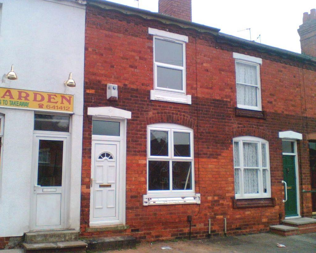
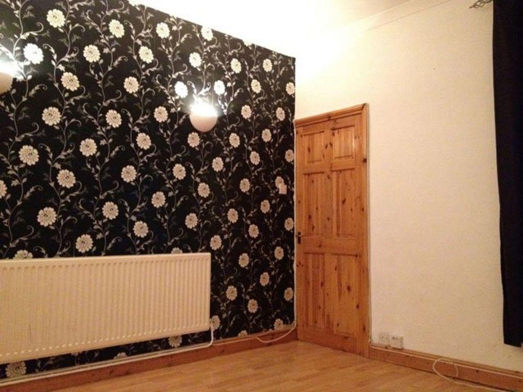
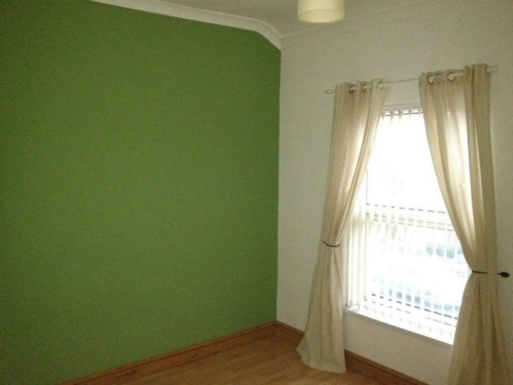
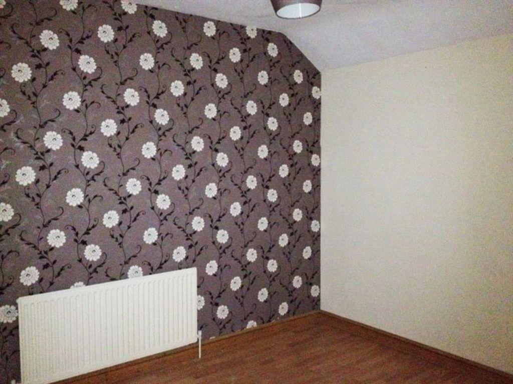
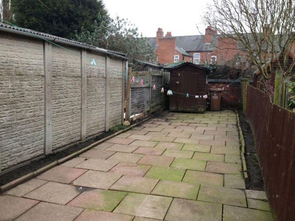
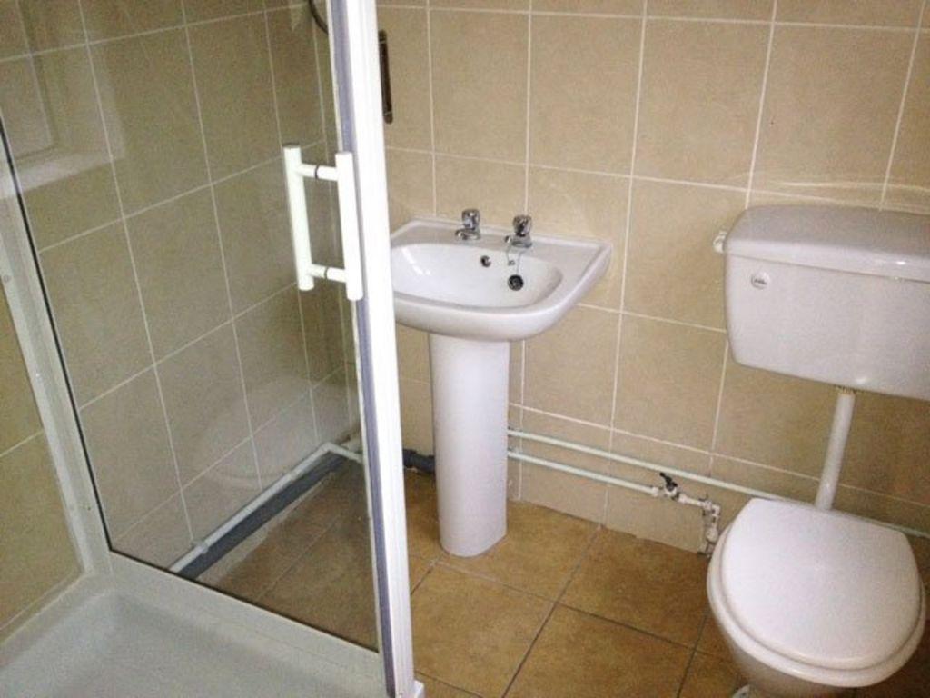
Photo 1 Photo 2 Photo 3 Photo 4 Photo 5 Photo 6
/ 6
Property details
Floor area
81 m²
EPC rating
C
Year built
England and Wales: 1900-1929
Deprivation
Decile 1 (2,255 of 33,755)
Street crime
372 incidents within 1 mile (Mar 2026)
Additional details
- Garden
- Yes
Description
Listed by
Walsall
Wadsworth & Co. Est 1928
Reference: 21496815
EPC Rating & Upgrade Cost
Current rating: C
Potential rating: B
Inspection date: 02/04/2025
Current heating cost: £683/year
Potential heating cost: £524/year
Est. upgrade cost to C: £18,500
Recommendations
- 50 mm internal or external wall insulation (£4,000 - £14,000)
- Solar water heating (£4,000 - £6,000)
- Solar photovoltaic panels, 2.5 kWp (£3,500 - £5,500)
Flood risk
Zone: 2
Risk: In flood risk area
Environment Agency Flood Risk Areas (APSFR)
Rental Range
Estimated market rent for Walsall. Low = conservative, Realistic = average, Optimistic = best case.
Based on Local Authority from postcode lookup → Walsall.
LHA (30th percentile) floor for Black Country: £623/mo (Apr 2025 – Mar 2026)
Location
Nearby
Nearest stations, universities and amenities (distance from property).
| Type | Name | Distance |
|---|---|---|
| Bus stop | Weston St / Broadway | 0.0 miles |
| Shop | Broadway Booze & Convenience | 0.1 miles |
| Shop | Unknown | 0.3 miles |
| Train station | Bescot Stadium | 0.6 miles |
| Train station | Walsall | 1.0 miles |
| University | Maryvale Institute | 4.0 miles |
| University | BCU Oscott Gardens | 5.1 miles |
| Hospital | Bilston Street Surgery | 6.2 miles |
| Hospital | krishna pemmaraju | 8.2 miles |
Street-level crime
| Category | Count |
|---|---|
| Violence and sexual offences | 158 |
| Shoplifting | 47 |
| Criminal damage and arson | 31 |
| Public order | 28 |
| Vehicle crime | 25 |
| Other theft | 15 |
| Drugs | 14 |
| Burglary | 13 |
| Anti-social behaviour | 11 |
| Possession of weapons | 9 |
| Other crime | 8 |
| Robbery | 8 |
| Theft from the person | 4 |
| Bicycle theft | 1 |
| Total incidents | 372 |
Within 1 mile during Mar 2026. Source: data.police.uk (England & Wales).
Schools nearby
Nearest open schools with Ofsted ratings (England). Closed schools are not shown. Data from Get Information about Schools and Ofsted.
| Name | Type | Distance | Ofsted |
|---|---|---|---|
| Whitehall Nursery and Infant School | Primary | 0.2 miles | Outstanding — 13 Jan 2015 |
| Fullbrook Nursery School | Nursery | 0.2 miles | Outstanding — 3 Jul 2024 |
| Abu Bakr Boys School | Other | 0.2 miles | Requires improvement — 17 Apr 2024 |
| Joseph Leckie Academy | Secondary | 0.3 miles | Good — 25 Nov 2021 |
| Whitehall Junior Community School | Primary | 0.3 miles | Good — 8 Dec 2022 |
Rental Comparables
Residential lets from OpenRent and Rightmove for the area (same bedroom count). Use to validate rent estimates. Student lets are excluded.
| Title | Rent | Beds | Distance | As seen on |
|---|---|---|---|---|
| 2 Bed Flat, West Bromwich Road, WS5 | £900/mo | 2 | 0.19 miles | OpenRent |
| 2 Bed Flat, Manorhouse Close, WS1 | £850/mo | 2 | 0.37 miles | OpenRent |
| Highview, Highgate Road, Walsall, WS1 | £925/mo | 2 | 0.47 miles | Rightmove |
Average rent: £892/mo (3 listings)