123 BREWERS SQUARE
DARTFORD, KENT DA1 1BF
£1,504 pcm
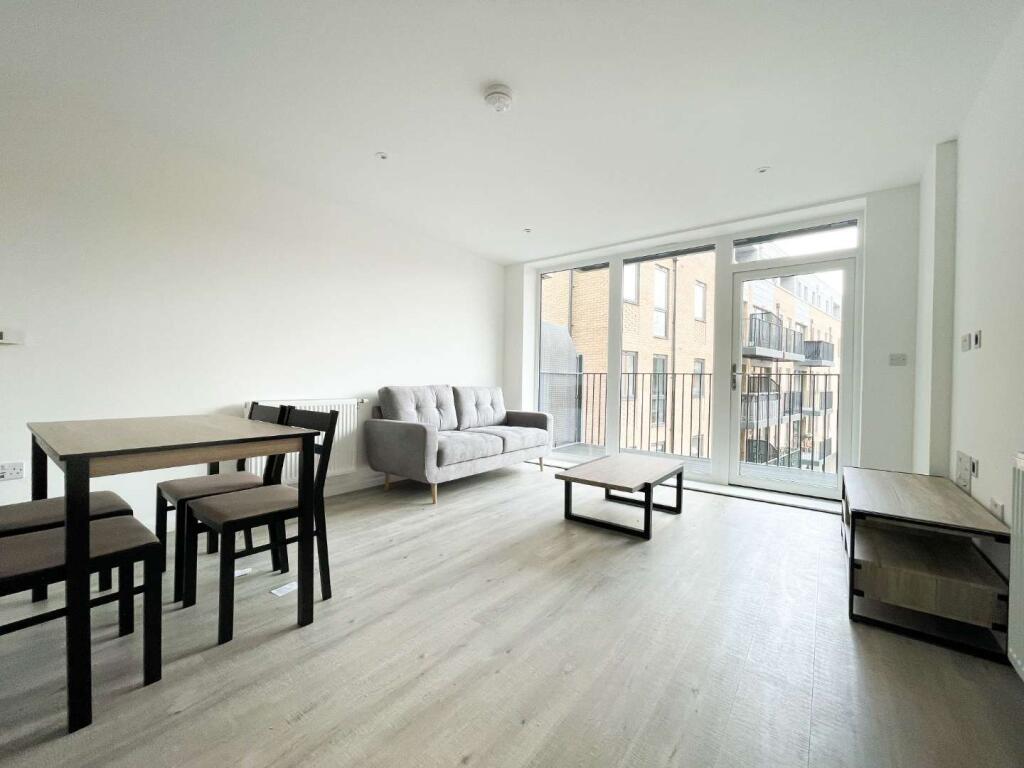
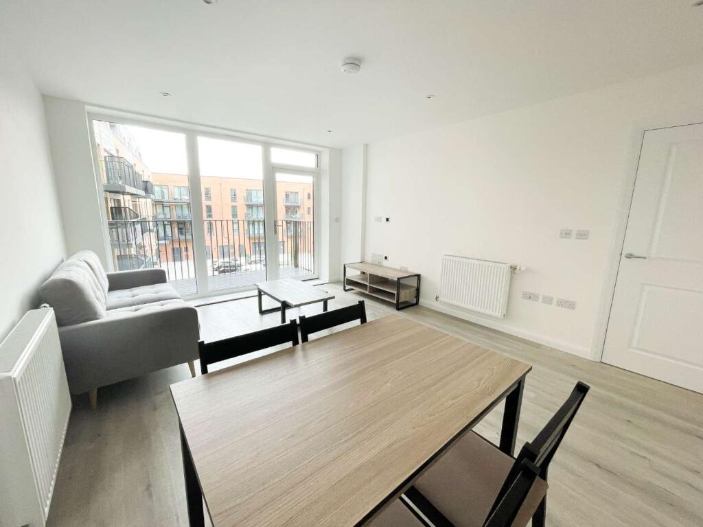
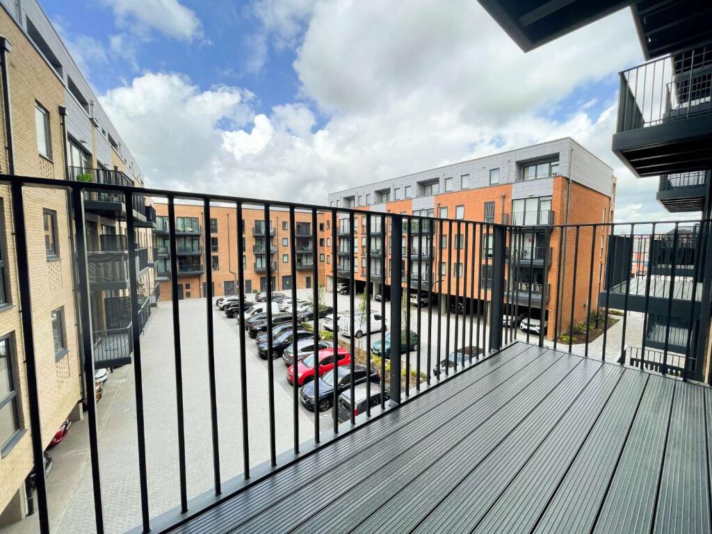
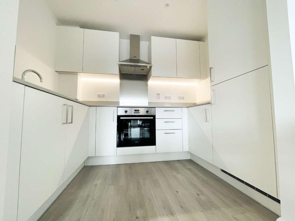

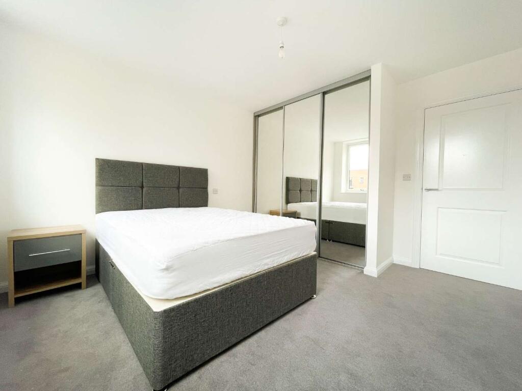
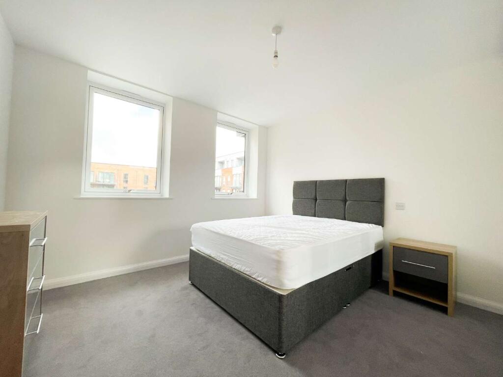
Photo 1 Photo 2 Photo 3 Photo 4 Photo 5 Photo 6 Photo 7
/ 7
Property details
Floor area
50 m²
Street crime
355 incidents within 1 mile (Apr 2026)
Key features
- Furnished
- Private balcony
- Concierge
- Excellent location
Description
All data and information set forth on this website regarding real property, for sale, purchase, rental and/or financing, are from sources regarded as reliable. No warranties are made as to the accuracy of any descriptions and/or other details and such information is subject to errors, omissions, changes of price, tenancies, commissions, prior sales, leases or financing, or withdrawal without notice. Square footages are approximate and may be verified by consulting a professional architect or engineer.
Listed by
London
Global House Estates
Reference: 169245008
EPC Rating & Upgrade Cost
Fetching EPC data… Refresh this page in a moment.
Flood risk
Zone: 1
Risk: Low
Job (default Low)
EPC Graphs
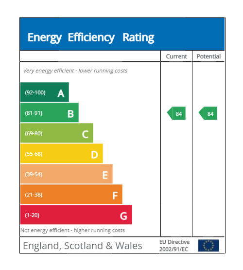
EPC 1
Rental Range
Estimated market rent for South East. Low = conservative, Realistic = average, Optimistic = best case.
Based on Postcode area DA → South East.
LHA (30th percentile) floor for North West Kent: £748/mo (Apr 2025 – Mar 2026)
Location
Nearby
Nearest stations, universities and amenities (distance from property).
| Type | Name | Distance |
|---|---|---|
| Shop | Unknown | 0.0 miles |
| Bus stop | Lowfield Street | 0.1 miles |
| Bus stop | Holy Trinity Church | 0.1 miles |
| Train station | Dartford | 0.3 miles |
| Hospital | Livingstone Community Hospitals | 0.4 miles |
| Hospital | Little Brook Hospital | 1.1 miles |
| Train station | Crayford | 1.7 miles |
| University | University of Greenwich | 2.2 miles |
| University | University of Greenwich Avery Hill Campus | 6.0 miles |
Street-level crime
| Category | Count |
|---|---|
| Violence and sexual offences | 116 |
| Anti-social behaviour | 54 |
| Shoplifting | 48 |
| Other theft | 31 |
| Criminal damage and arson | 24 |
| Public order | 18 |
| Vehicle crime | 17 |
| Drugs | 14 |
| Burglary | 9 |
| Other crime | 8 |
| Theft from the person | 5 |
| Bicycle theft | 4 |
| Robbery | 4 |
| Possession of weapons | 3 |
| Total incidents | 355 |
Within 1 mile during Apr 2026. Source: data.police.uk (England & Wales).
Schools nearby
Nearest open schools with Ofsted ratings (England). Closed schools are not shown. Data from Get Information about Schools and Ofsted.
| Name | Type | Distance | Ofsted |
|---|---|---|---|
| Westgate Primary School | Primary | 0.3 miles | Good — 27 Mar 2019 |
| Leigh Academy Dartford | Primary | 0.5 miles | Good — 6 Mar 2018 |
| Our Lady's Catholic Primary School, Dartford | Primary | 0.5 miles | Good — 16 Mar 2012 |
| Dartford Grammar School | Secondary | 0.6 miles | Outstanding — 26 Jan 2023 |
| Dartford Grammar School for Girls | Secondary | 0.6 miles | Outstanding — 1 Sep 2016 |
Rental Comparables
Rental listings exist nearby, but none matched the 1-bedroom count for this property.