7 HEDLEY CLOSE
HOUGHTON LE SPRING, TYNE AND WEAR DH4 6GT
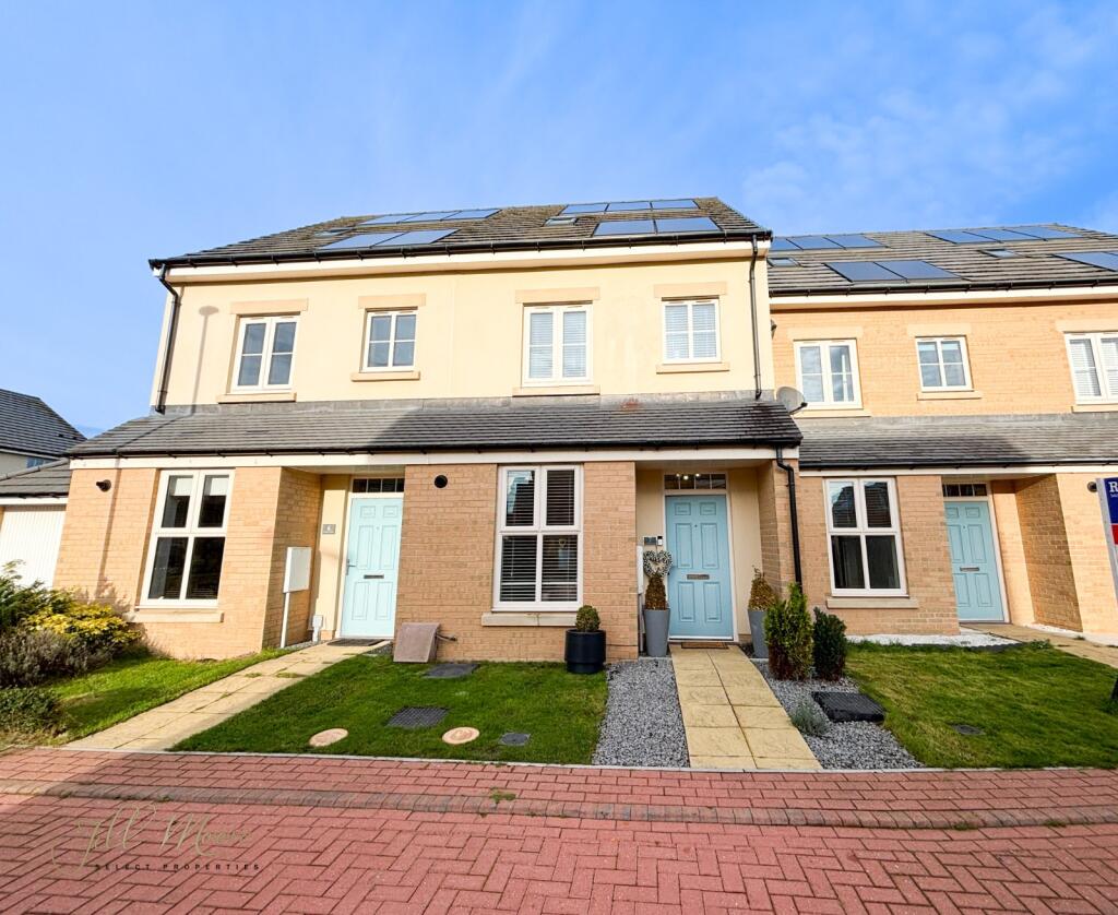
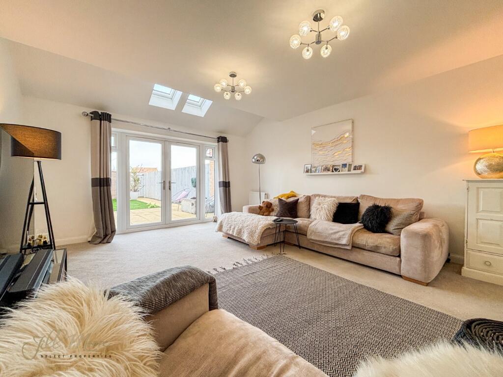
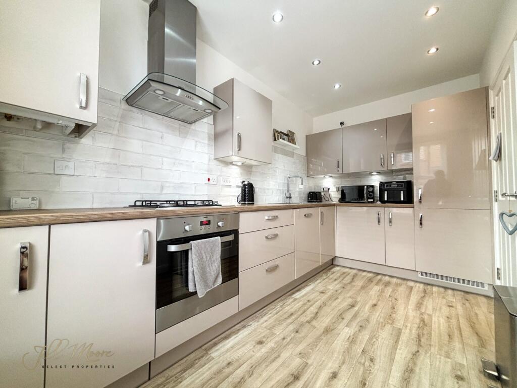
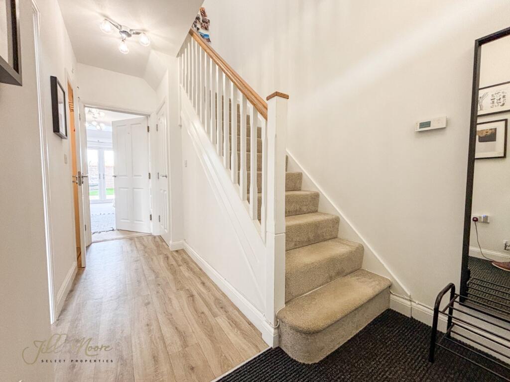
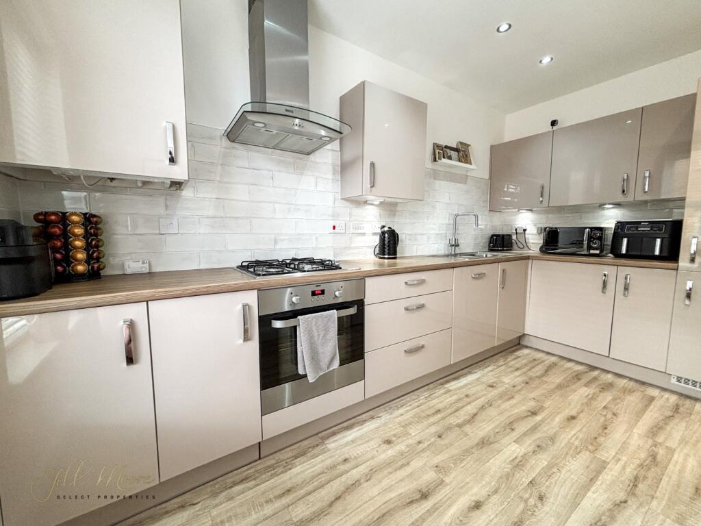
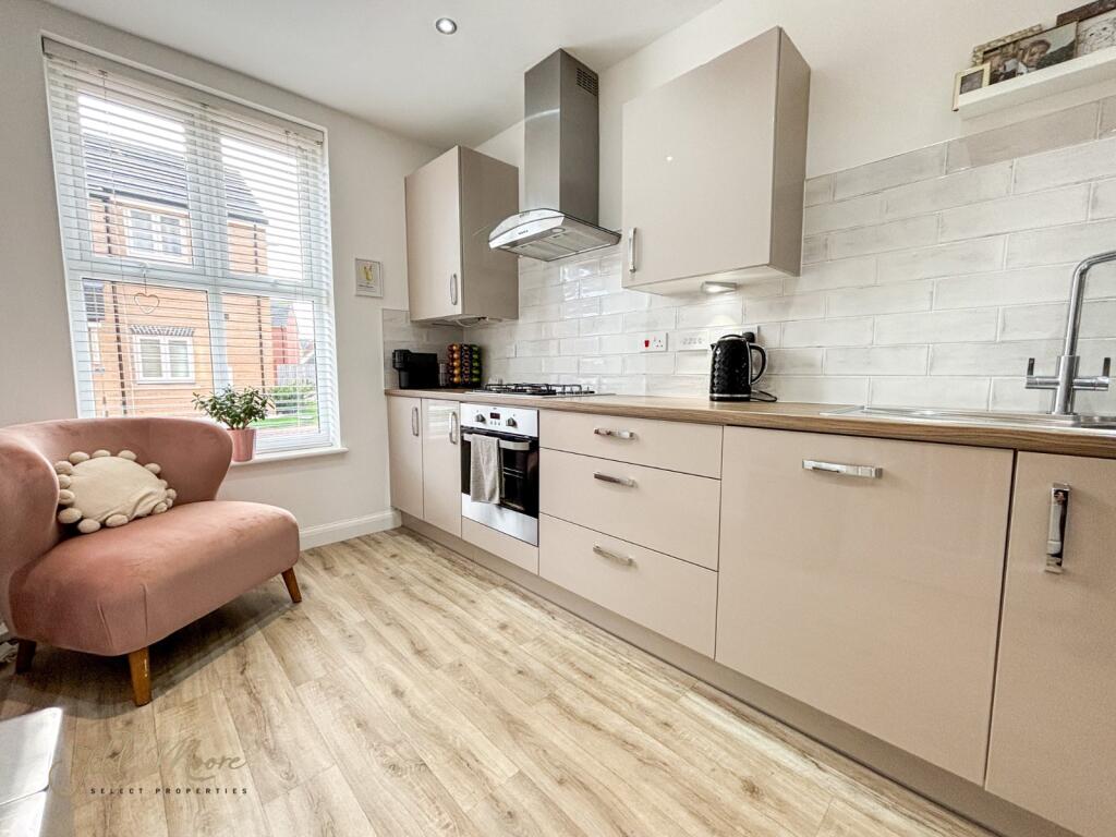
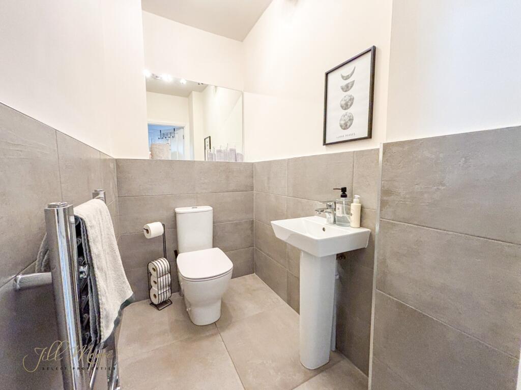
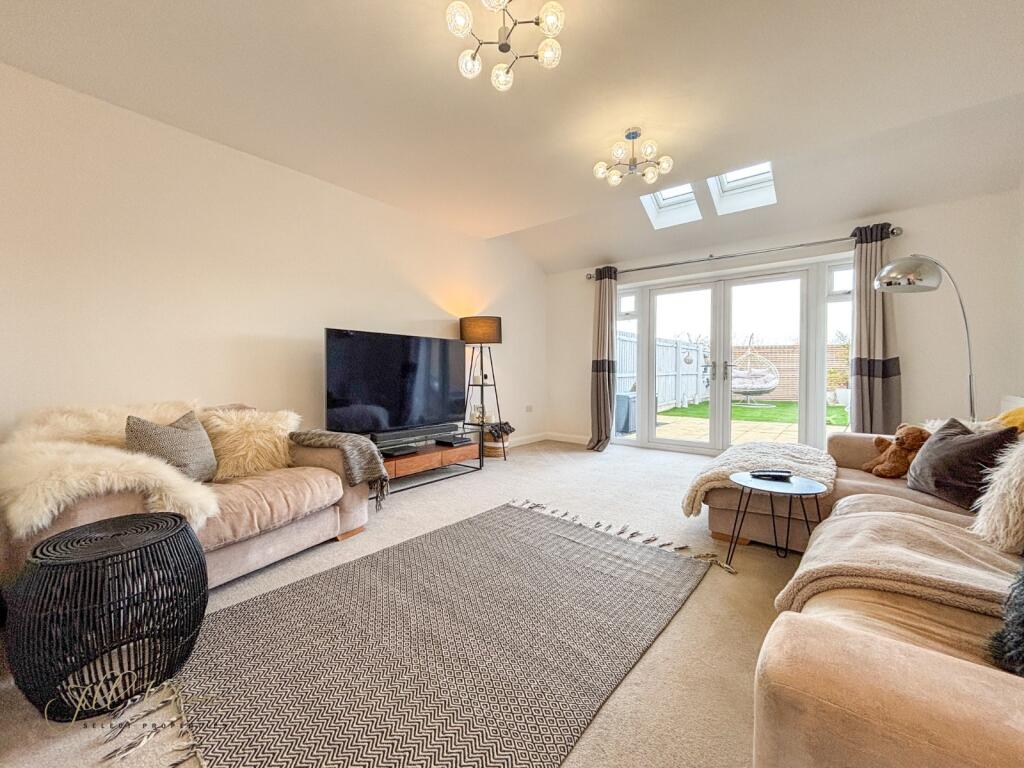
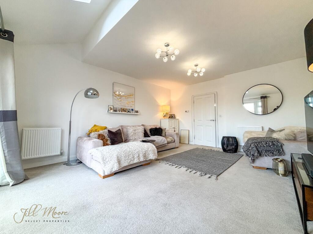
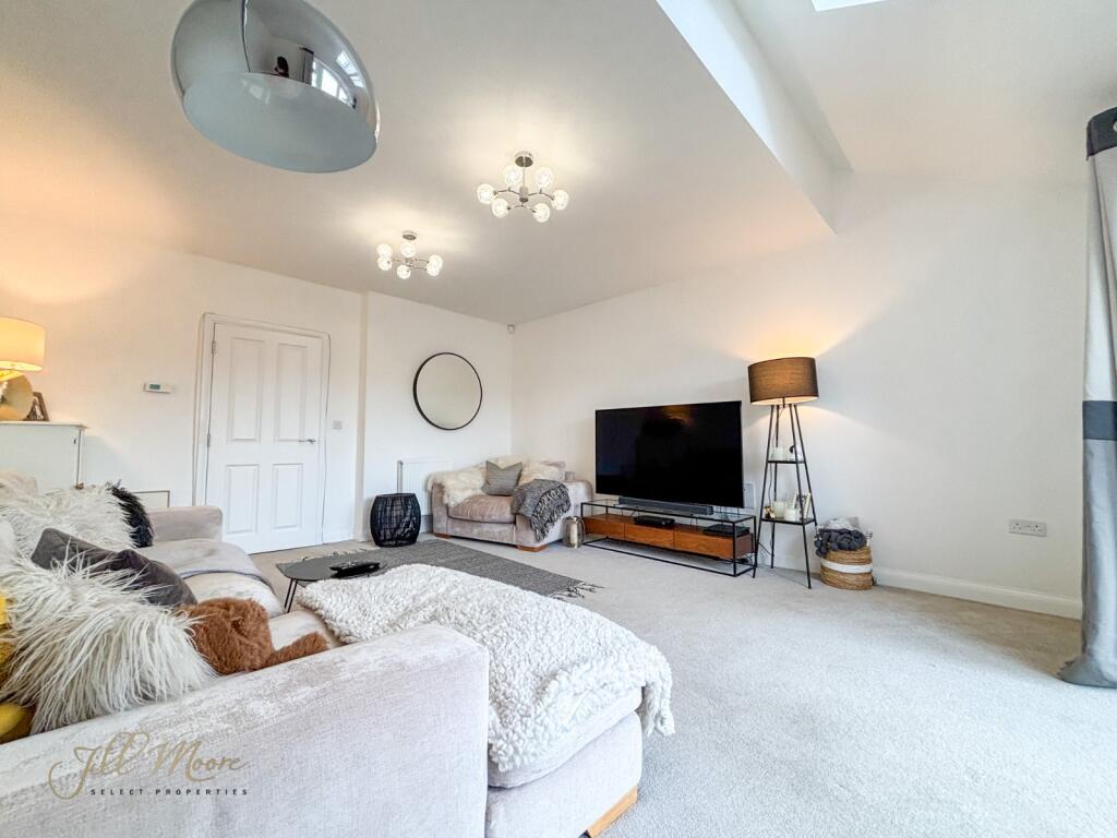
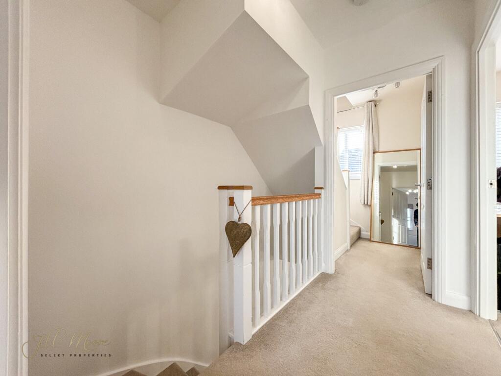
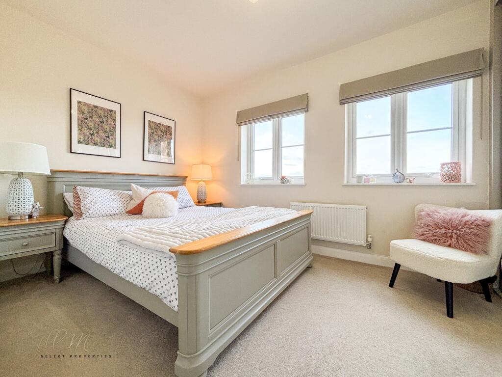
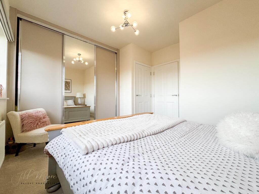
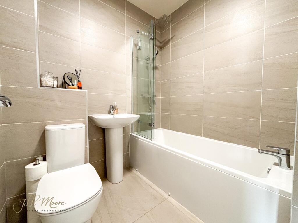
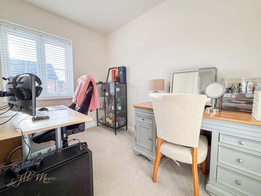
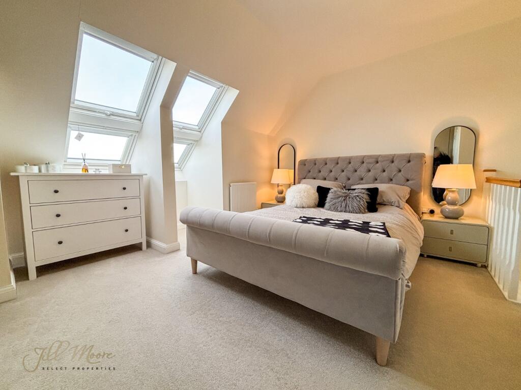
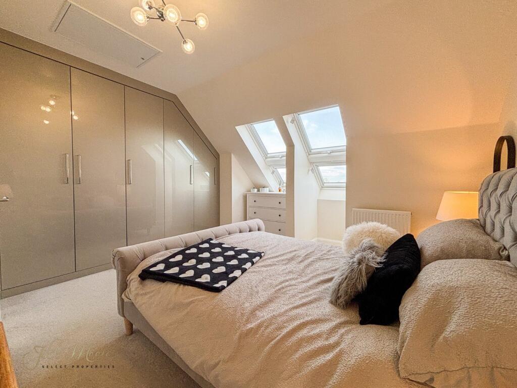
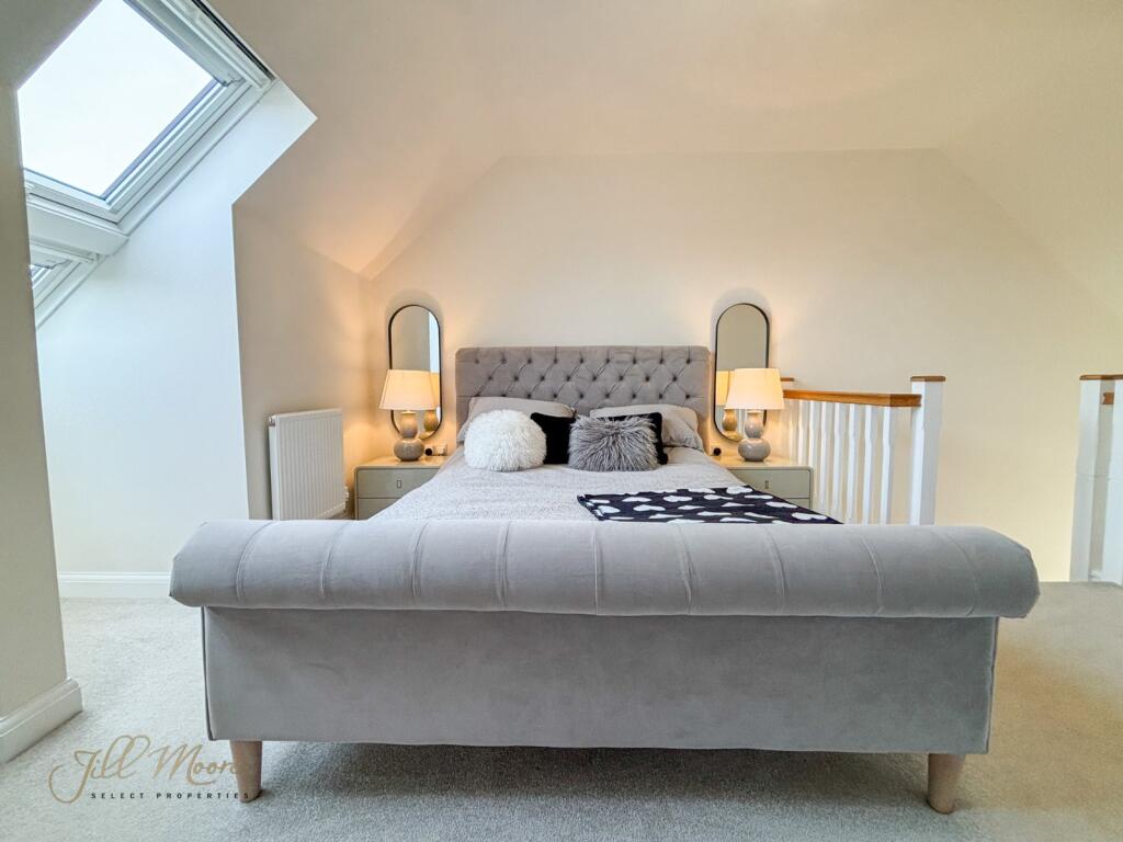
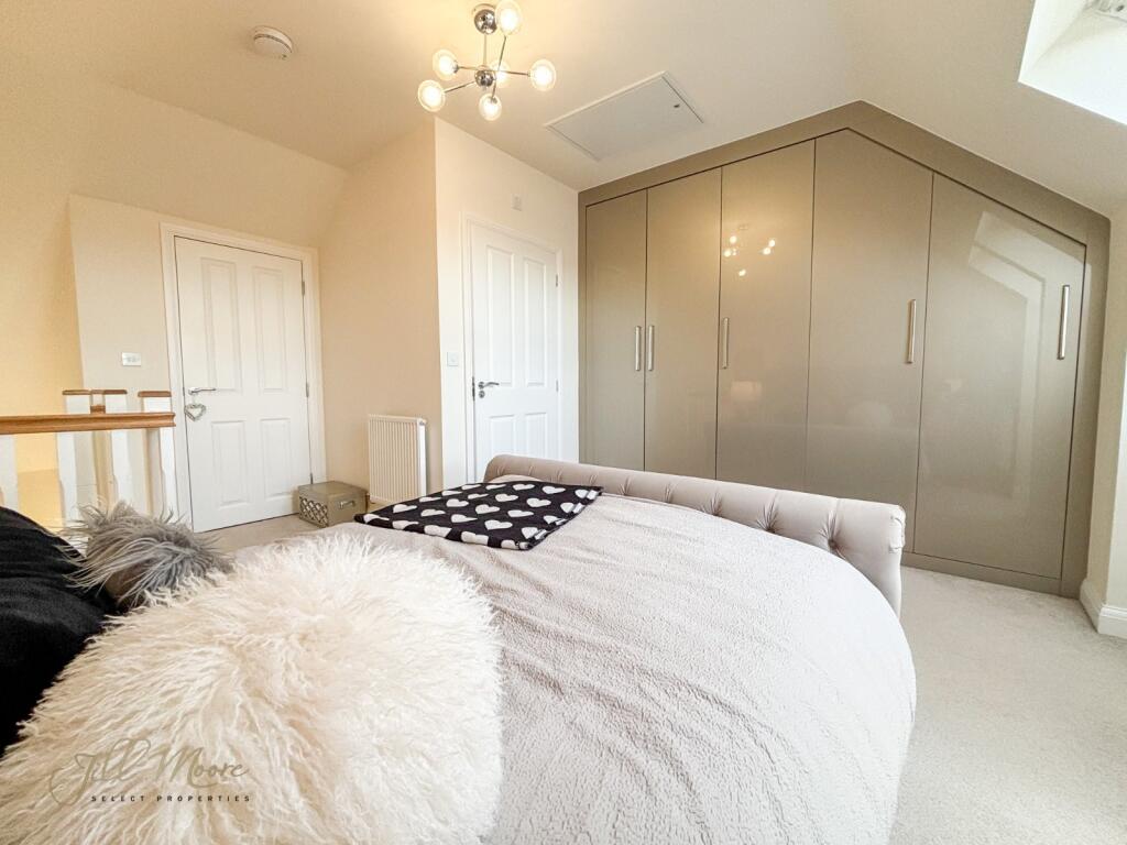
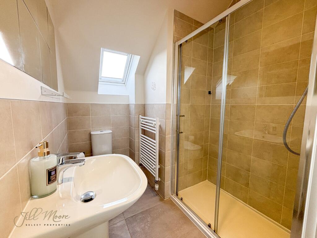
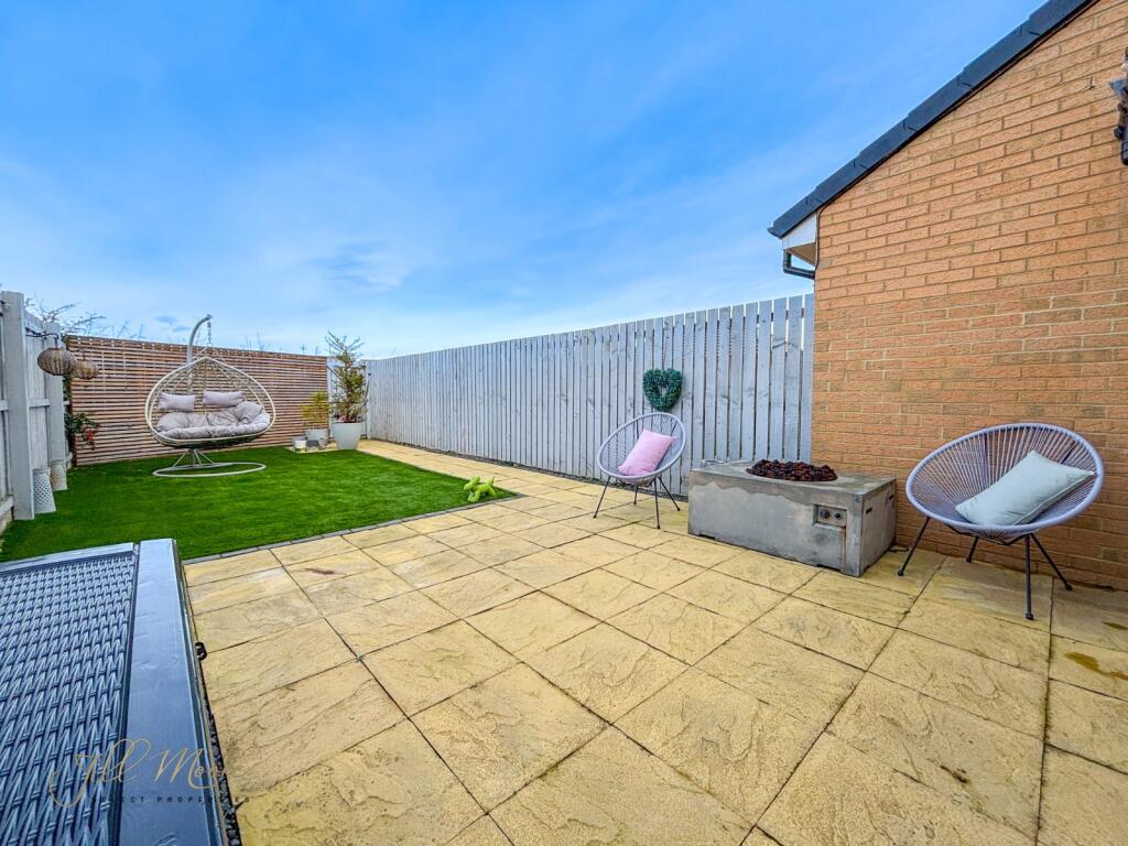
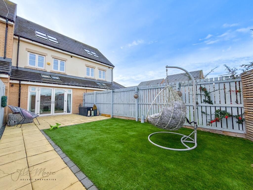
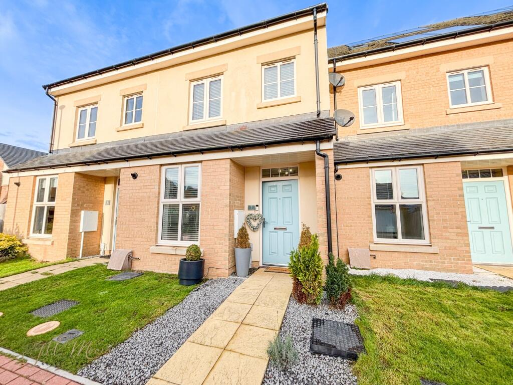
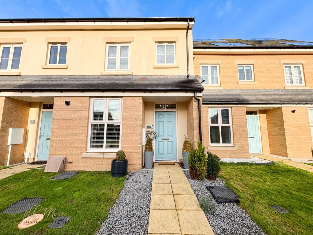
Picture No. 30 Picture No. 05 Picture No. 11 Hallway Picture No. 12 Kitchen W/C Picture No. 04 Picture No. 06 Picture No. 07 First Floor Landing Bed 2 Bed 2 Bathroom Bed 3 Master Bed Master Bed Master Bed Master Bed Picture No. 26 Master Bed Picture No. 25 Picture No. 24 Picture No. 27 Picture No. 28 Picture No. 03
/ 26
Property details
Tenure
FREEHOLD
Council tax band
C
Last sold
£205,000 May 2026
Local average
£119,699 (+71.3%)
Street crime
115 incidents within 1 mile (Aug 2026)
Key features
- No Onward Chain!!
- Amazing First Time Buy
- Amenities On Doorstep
- Catchment Area For Great Local Schools
- Master Bedroom With En-suite
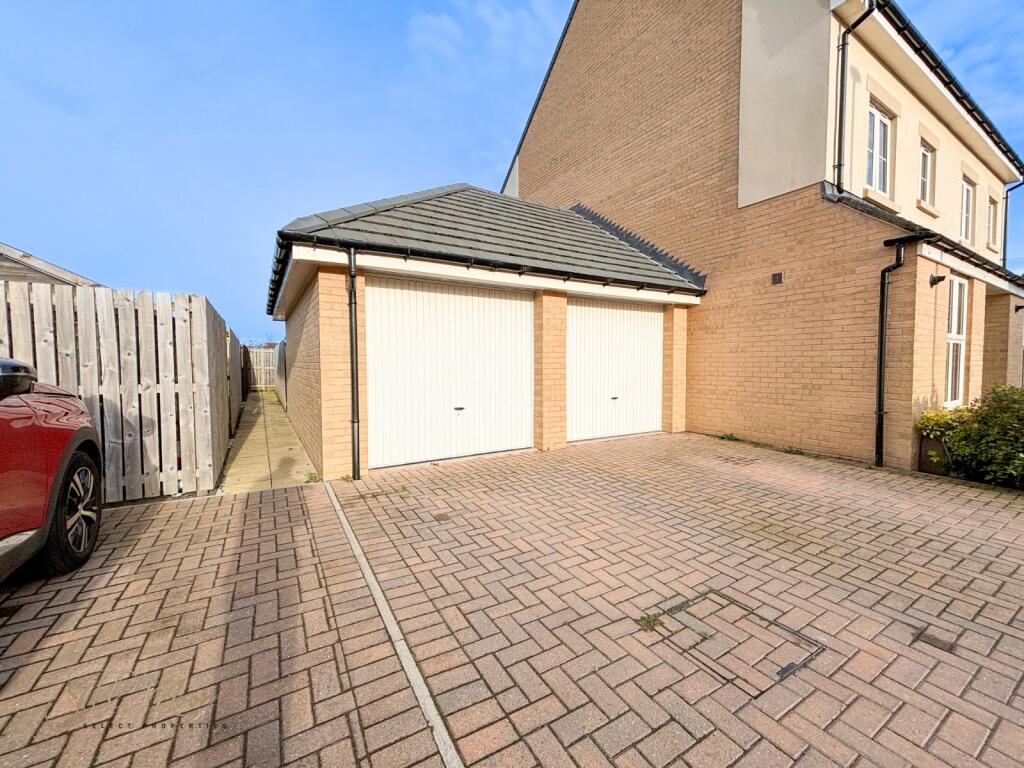
- Private Driveway & Garage
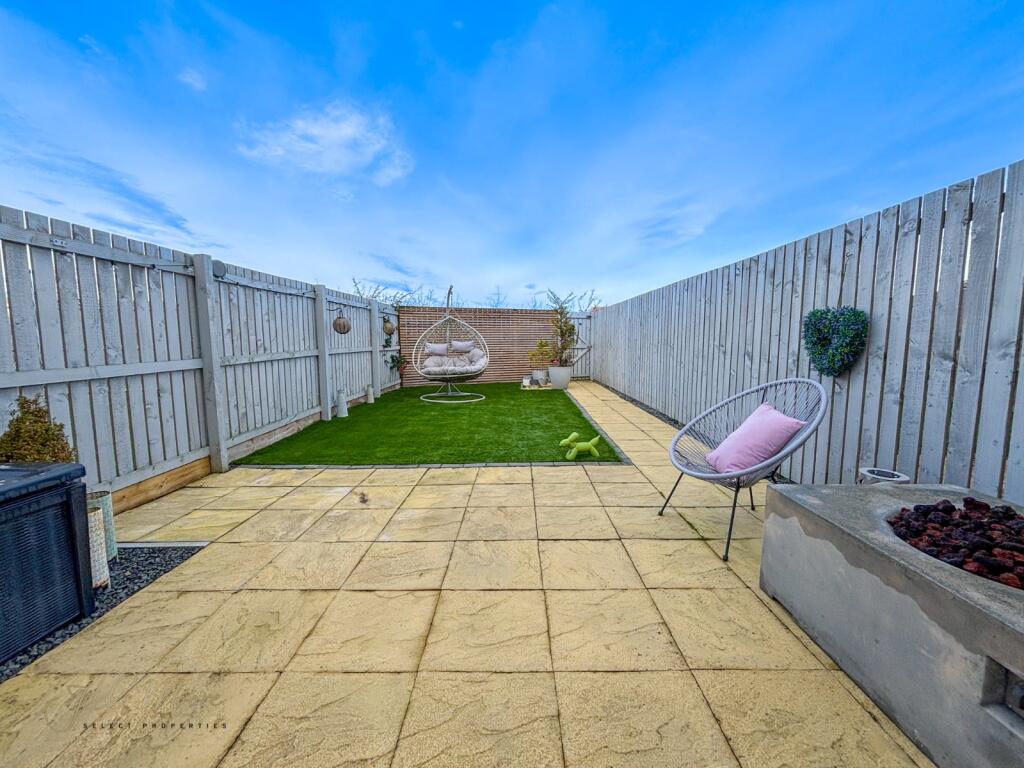
- South Facing Rear Garden
- Freehold
- Council Tax Band C
Additional details
- Parking
- Driveway
- Garden
- Yes
Description
Listed by
Washington
Castledene Sales & Lettings (Hartlepool) Limited
Reference: 169790423
Flood risk
Zone: 1
Risk: Low
Job (default Low)
Registered land (INSPIRE)
This location falls inside an HM Land Registry INSPIRE registered freehold polygon.
Plot: ~116 m² (0.03 acres)
Source: HM Land Registry INSPIRE Index Polygons.
Floorplans
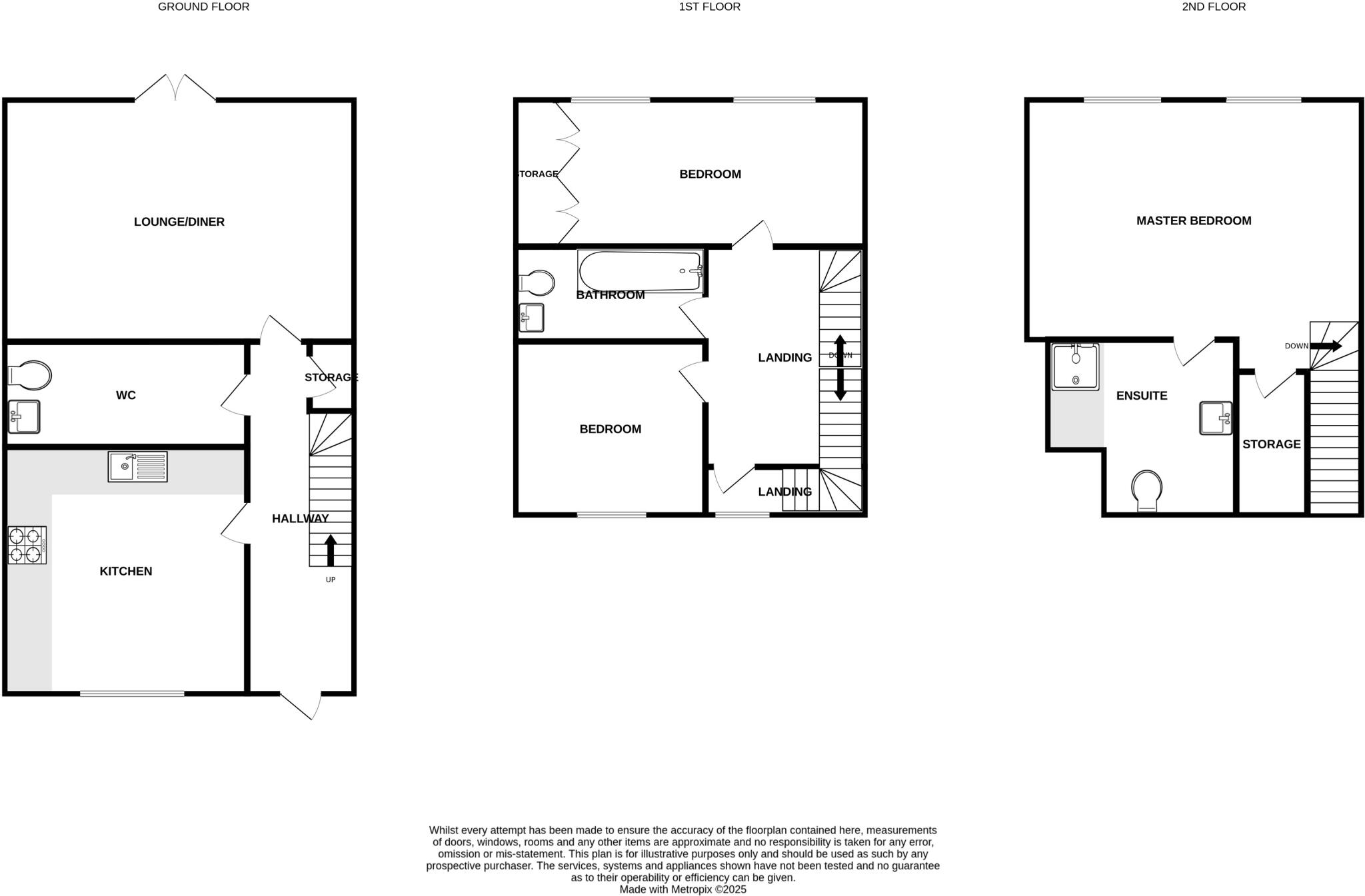
Floorplan
EPC Graphs
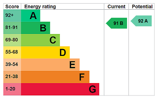
EPC Rating Graph
Price history
8% since 2019
| Event | Date | Price | % change |
|---|---|---|---|
| Sold | 22/05/2026 (5 months ago) | £205,000 | +7.9% |
| Sold | 17/12/2019 (6 years ago) | £189,995 | — |
Source: HM Land Registry Price Paid Data. Crown copyright.
Sold Comparables
Same street and nearby sales within 0.25 miles (last 5 years). Data from Land Registry Price Paid.
| Address | Price | Date | Type |
|---|---|---|---|
| Same street 8 HEDLEY CLOSE, HOUGHTON LE SPRING, SUNDERLAND, TYNE AND WEAR, DH4 6GT | £196,000 | 30/01/2026 | Terraced |
| 15 LOUISA CLOSE, HOUGHTON LE SPRING, SUNDERLAND, TYNE AND WEAR, DH4 6GS | £140,000 | 04/12/2025 | Terraced |
| 1 WATERHOUSES, HOUGHTON LE SPRING, SUNDERLAND, TYNE AND WEAR, DH4 6GE | £192,000 | 25/11/2022 | Terraced |
| Same street 33 HEDLEY CLOSE, HOUGHTON LE SPRING, SUNDERLAND, TYNE AND WEAR, DH4 6GT | £150,000 | 04/11/2022 | Terraced |
| 11 WHITWORTH PARK DRIVE, HOUGHTON LE SPRING, SUNDERLAND, TYNE AND WEAR, DH4 6GP | £245,000 | 04/11/2022 | Terraced |
| 22 WHITWORTH PARK DRIVE, HOUGHTON LE SPRING, SUNDERLAND, TYNE AND WEAR, DH4 6GN | £222,500 | 04/07/2022 | Terraced |
| 49 WHITWORTH PARK DRIVE, HOUGHTON LE SPRING, SUNDERLAND, TYNE AND WEAR, DH4 6GP | £220,000 | 27/05/2022 | Terraced |
| 86 WHITWORTH PARK DRIVE, HOUGHTON LE SPRING, SUNDERLAND, TYNE AND WEAR, DH4 6GN | £175,000 | 31/03/2022 | Terraced |
| 19 WATERHOUSES, HOUGHTON LE SPRING, SUNDERLAND, TYNE AND WEAR, DH4 6GE | £190,000 | 28/02/2022 | Terraced |
| 35 WATERGATE, HOUGHTON LE SPRING, SUNDERLAND, TYNE AND WEAR, DH4 6GL | £147,500 | 20/12/2021 | Terraced |
| 86 WHITWORTH PARK DRIVE, HOUGHTON LE SPRING, SUNDERLAND, TYNE AND WEAR, DH4 6GN | £185,000 | 30/11/2021 | Terraced |
Street average: £173,000 (2 sales)
Area average: £190,778 (9 sales)
Capital growth trend
Land Registry outcode average: last 12 months vs 5y and 10y ago (from sold prices).
House Price Index (HM Land Registry — official index, not sold-price averages): Sunderland. Series: Terraced. As of July 2026.
Rental Range
Estimated market rent for Sunderland. Low = conservative, Realistic = average, Optimistic = best case.
Based on Local Authority from postcode lookup → Sunderland.
LHA (30th percentile) floor for Sunderland: £549/mo (Apr 2025 – Mar 2026)
Location
Nearby
Nearest stations, universities and amenities (distance from property).
| Type | Name | Distance |
|---|---|---|
| Bus stop | BLIND LANE-GOLF COURSE ROAD-N/B | 0.2 miles |
| Bus stop | BLIND LANE-GOLF COURSE ROAD-S/B | 0.2 miles |
| Shop | Blue Olive | 0.5 miles |
| Shop | Morrisons Daily | 0.6 miles |
| Train station | Chester-le-Street | 3.1 miles |
| Train station | South Hylton | 3.8 miles |
| Hospital | Sunderland Primary care Trust | 5.2 miles |
| University | University of Sunderland, City Campus | 5.4 miles |
| University | Norfolk Street | 5.9 miles |
| Hospital | University Hospital of North Durham | 6.0 miles |
Street-level crime
| Category | Count |
|---|---|
| Violence and sexual offences | 40 |
| Shoplifting | 18 |
| Anti-social behaviour | 17 |
| Criminal damage and arson | 16 |
| Burglary | 6 |
| Public order | 6 |
| Vehicle crime | 5 |
| Other crime | 2 |
| Other theft | 2 |
| Robbery | 2 |
| Possession of weapons | 1 |
| Total incidents | 115 |
Within 1 mile during Aug 2026. Source: data.police.uk (England & Wales).
Schools nearby
Nearest open schools with Ofsted ratings (England). Closed schools are not shown. Data from Get Information about Schools and Ofsted.
| Name | Type | Distance | Ofsted |
|---|---|---|---|
| Bournmoor Primary School | Primary | 0.6 miles | Good — 16 Jul 2015 |
| Shiney Row Primary School | Primary | 0.7 miles | Good — 30 Oct 2012 |
| Woodlea Primary School | Primary | 0.9 miles | Good — 3 Feb 2019 |
| Newbottle Primary Academy | Primary | 0.9 miles | Good — 15 Feb 2017 |
| Our Lady Queen of Peace Catholic Primary School, Penshaw | Primary | 1.0 miles | Requires improvement — 13 Jul 2022 |
Rental Comparables
Rental listings exist nearby, but none matched the 3-bedroom count for this property.
Rent-driven metrics
Based on Area rent estimate.
- Rent ratio — Monthly rent ÷ purchase price (1% rule). 1%+ = strong, 0.8–1% = okay, <0.8% = weak for cashflow.
- Max investor price — Rent ÷ 0.8%; the price at which rent would be 0.8% of price (Stoke-style target).
- Target investor price — Rent ÷ 1%; the price at which rent would be 1% of price (strong cashflow band).
- Gross yield — Annual rent as % of purchase price (no costs).