London Road
Newcastle-under-Lyme, ST5 7LR
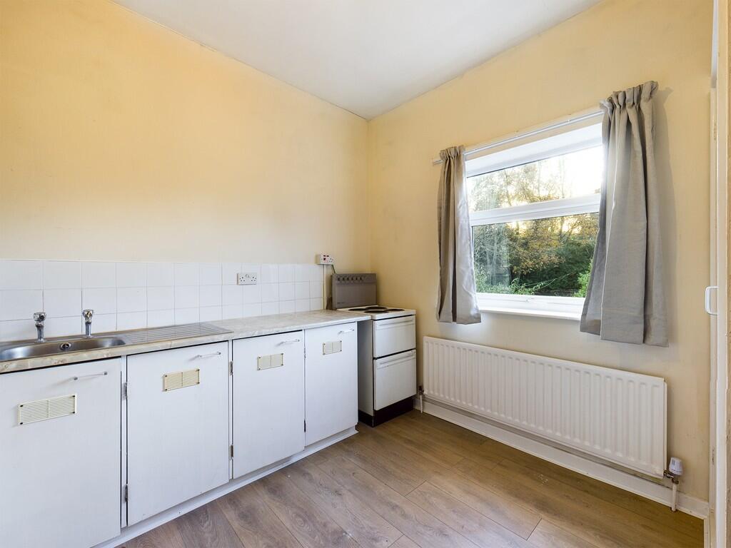
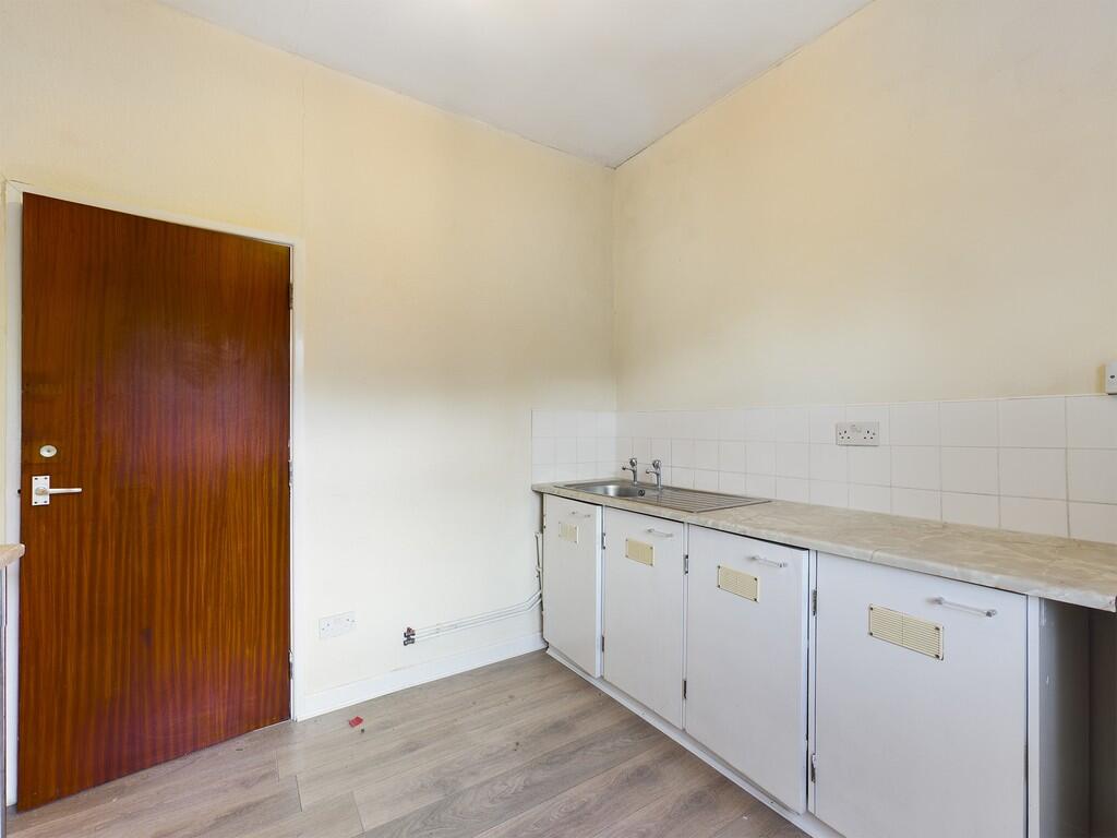
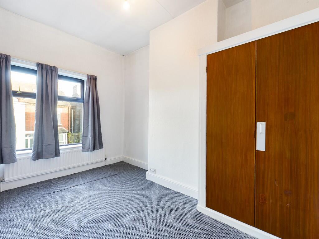
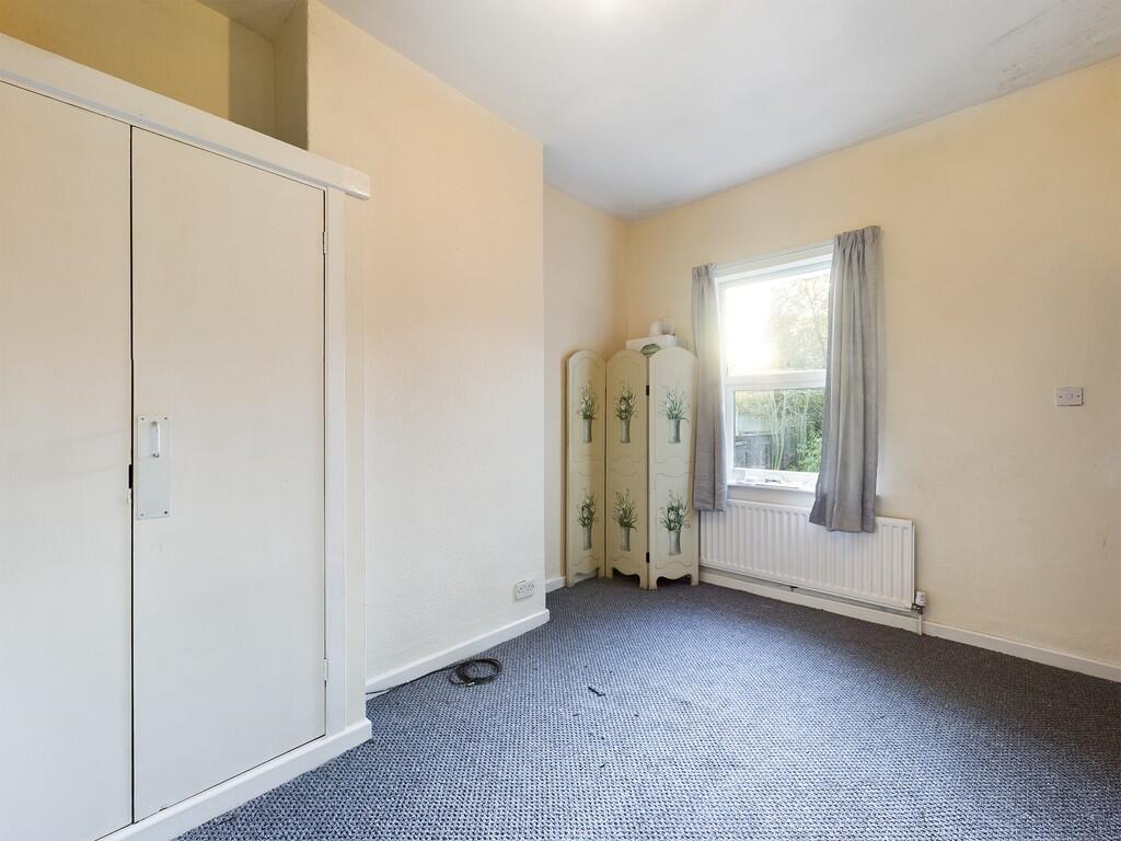
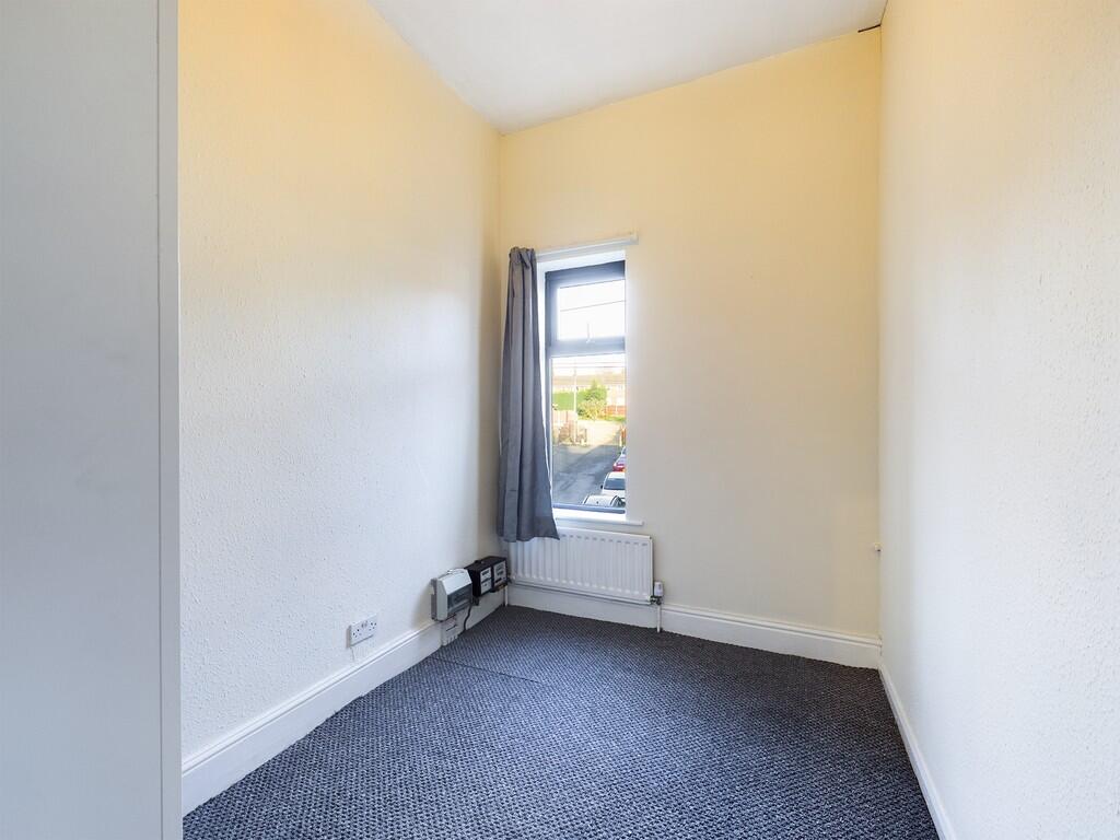
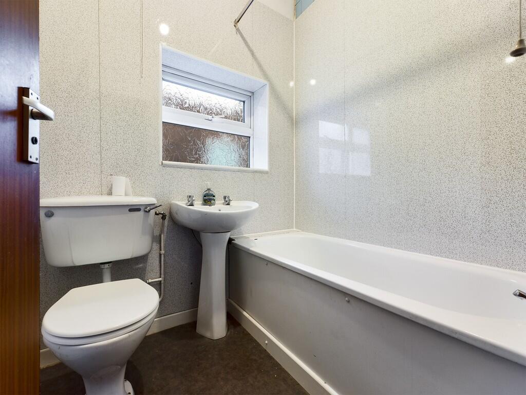
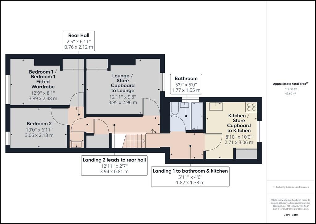
Photo 1 Photo 2 Photo 3 Photo 4 Photo 5 Photo 6 Photo 7
/ 7
Property details
Council tax band
A
Deprivation
Decile 1 (2,818 of 33,755)
Street crime
127 incidents within 1 mile (Mar 2026)
Key features
- First floor apartment
- Lounge
- Kitchen
- 2 Bedrooms
- Bathroom
- Close to Newcastle town centre
- Council tax band A
- Sought after location
Additional details
- Heating
- Gas central
- Parking
- On street
Description
Listed by
Stoke On Trent
The Property Franchise Group
Reference: 174759290
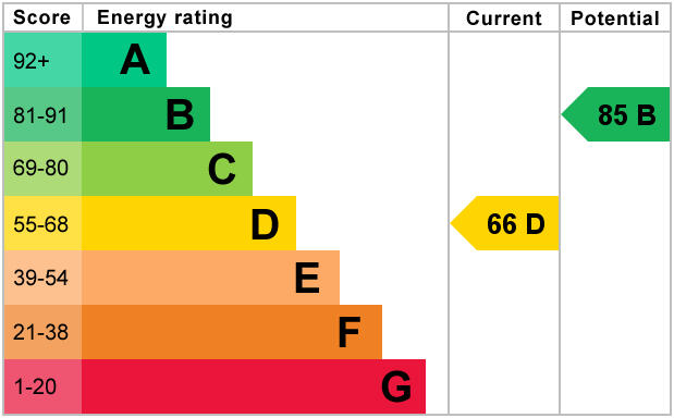
EPC ratings on this postcode
We don't have a matched EPC for this property yet. Below are efficiency scores and details for other addresses on this postcode.
| Address | Current | Potential | Floor area | Age band | Type |
|---|---|---|---|---|---|
| 100 London Road, Chesterton, NEWCASTLE | 71 | 82 | 94 m² | England and Wales: 1900-1929 | Terraced |
| 100, London Road, Chesterton, NEWCASTLE | 63 | 86 | 78 m² | England and Wales: 1900-1929 | Terraced |
| 103 London Road, Chesterton, NEWCASTLE | 4 | 68 | 105 m² | England and Wales: before 1900 | Detached |
| 112 London Road, Chesterton, NEWCASTLE | 66 | 85 | 103 m² | England and Wales: 1900-1929 | Terraced |
| 114, London Road, Chesterton, NEWCASTLE | 46 | 86 | 111 m² | England and Wales: before 1900 | Terraced |
| 114, London Road, Chesterton, NEWCASTLE | 46 | 82 | 108 m² | England and Wales: 1900-1929 | Terraced |
| 118, London Road, Chesterton, NEWCASTLE | 43 | 77 | 76 m² | England and Wales: before 1900 | Terraced |
| 120, London Road, Chesterton, NEWCASTLE | 64 | 87 | 71 m² | England and Wales: before 1900 | Terraced |
| 122 London Road, Chesterton, NEWCASTLE | 57 | 83 | 72 m² | England and Wales: 1900-1929 | Terraced |
| 124 London Road, Chesterton, NEWCASTLE | 59 | 82 | 85 m² | England and Wales: 1900-1929 | Terraced |
| 128 London Road, Chesterton, NEWCASTLE | 61 | 79 | 81 m² | England and Wales: 1900-1929 | Terraced |
| 128, London Road, Chesterton, NEWCASTLE | 53 | 75 | 93 m² | England and Wales: 1900-1929 | Terraced |
| 130, London Road, Chesterton, NEWCASTLE | 38 | 77 | 73 m² | England and Wales: before 1900 | Terraced |
| 77 London Road, Chesterton, NEWCASTLE | 79 | 83 | 162 m² | England and Wales: 1900-1929 | Terraced |
| 79, London Road, Chesterton, NEWCASTLE | 60 | 81 | 92 m² | England and Wales: 1900-1929 | Terraced |
Flood risk
Zone: 1
Risk: Low
Job (default Low)
EPC Graphs
EPC 1
Rental Range
Estimated market rent for Newcastle-under-Lyme. Low = conservative, Realistic = average, Optimistic = best case.
Based on Local Authority from postcode lookup → Newcastle-under-Lyme.
LHA (30th percentile) floor for Staffordshire North: £479/mo (Apr 2025 – Mar 2026)
Location
Address
Brittain Avenue
Nearby
Nearest stations, universities and amenities (distance from property).
| Type | Name | Distance |
|---|---|---|
| Bus stop | Brittain Avenue | 0.0 miles |
| Shop | BargainBikerBrands | 0.0 miles |
| Bus stop | Albert Street | 0.0 miles |
| Shop | Longstaff Cycles | 0.1 miles |
| Hospital | Bradwell Hospital | 0.4 miles |
| Train station | Apedale Road | 0.7 miles |
| Train station | Silverdale | 0.8 miles |
| Hospital | Hartshill Medical Centre | 2.6 miles |
| University | Keele University | 2.8 miles |
| University | University of Staffordshire Stoke Campus | 3.5 miles |
Street-level crime
| Category | Count |
|---|---|
| Violence and sexual offences | 48 |
| Anti-social behaviour | 29 |
| Criminal damage and arson | 10 |
| Burglary | 8 |
| Other crime | 6 |
| Other theft | 6 |
| Public order | 6 |
| Drugs | 4 |
| Vehicle crime | 4 |
| Bicycle theft | 3 |
| Shoplifting | 3 |
| Total incidents | 127 |
Within 1 mile during Mar 2026. Source: data.police.uk (England & Wales).
Schools nearby
Nearest open schools with Ofsted ratings (England). Closed schools are not shown. Data from Get Information about Schools and Ofsted.
| Name | Type | Distance | Ofsted |
|---|---|---|---|
| Chesterton Primary School | Primary | 0.2 miles | Good — 8 Jul 2021 |
| Chesterton Community Sports College | Secondary | 0.2 miles | Good — 13 Nov 2022 |
| Churchfields Primary School | Primary | 0.3 miles | Outstanding — 15 Sep 2015 |
| Crackley Bank Primary School | Primary | 0.5 miles | Good — 21 May 2023 |
| Sun Academy Bradwell | Primary | 0.5 miles | Good — 11 Sep 2018 |
Rental Comparables
Residential lets from OpenRent and Rightmove for the area (same bedroom count). Use to validate rent estimates. Student lets are excluded.
Average rent: £823/mo (46 listings)
Enter House Number
Enter the house number to help us retrieve more accurate pricing history and property data.
Please log in to submit or correct the house number for this listing.
Log in to continue