6 HAZELMERE DRIVE
BURNTWOOD, STAFFORDSHIRE WS7 4YP
Property details
Tenure
FREEHOLD
Floor area
83 m²
EPC rating
D
Year built
England and Wales: 1976-1982
Last sold
£183,500 Jan 2018
Price per m²
£2,229/m²
Local average
£358,727 (-48.4%)
Deprivation
Decile 9 (30,298 of 33,755)
Street crime
112 incidents within 1 mile (May 2026)
Key features
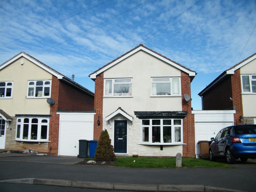
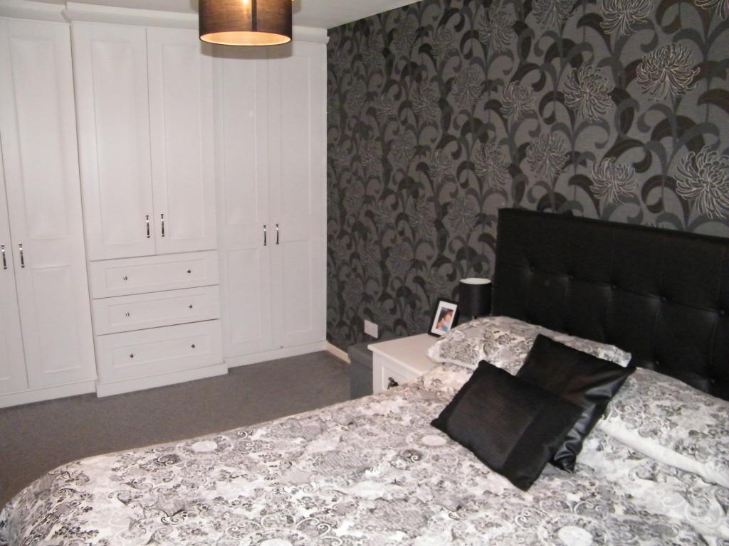
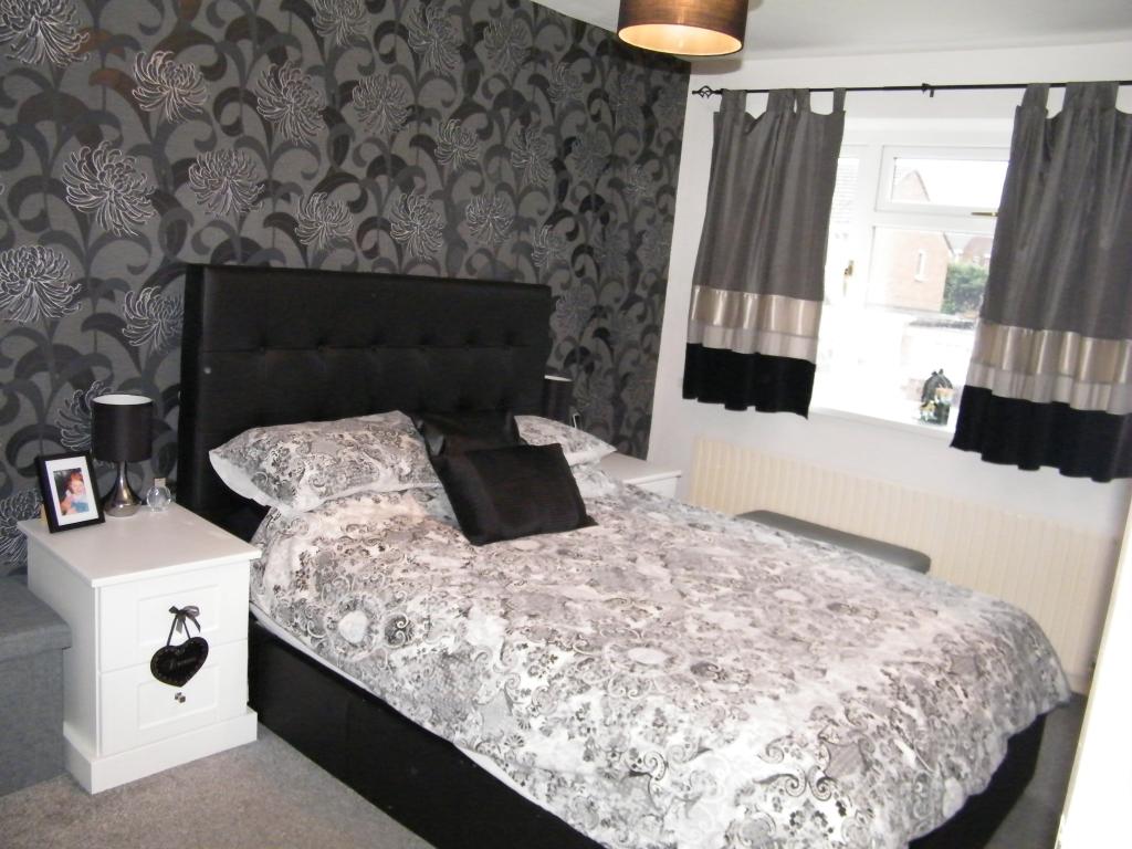
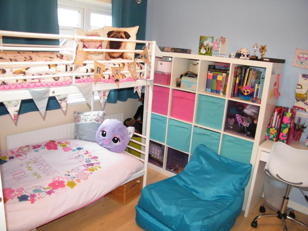
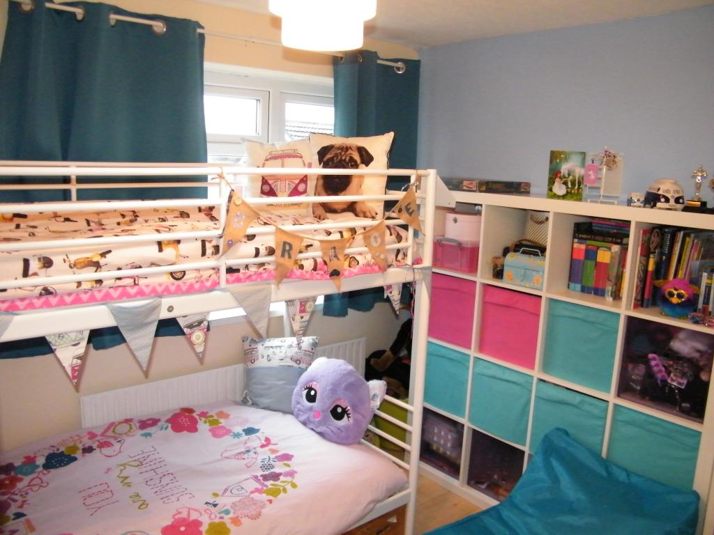
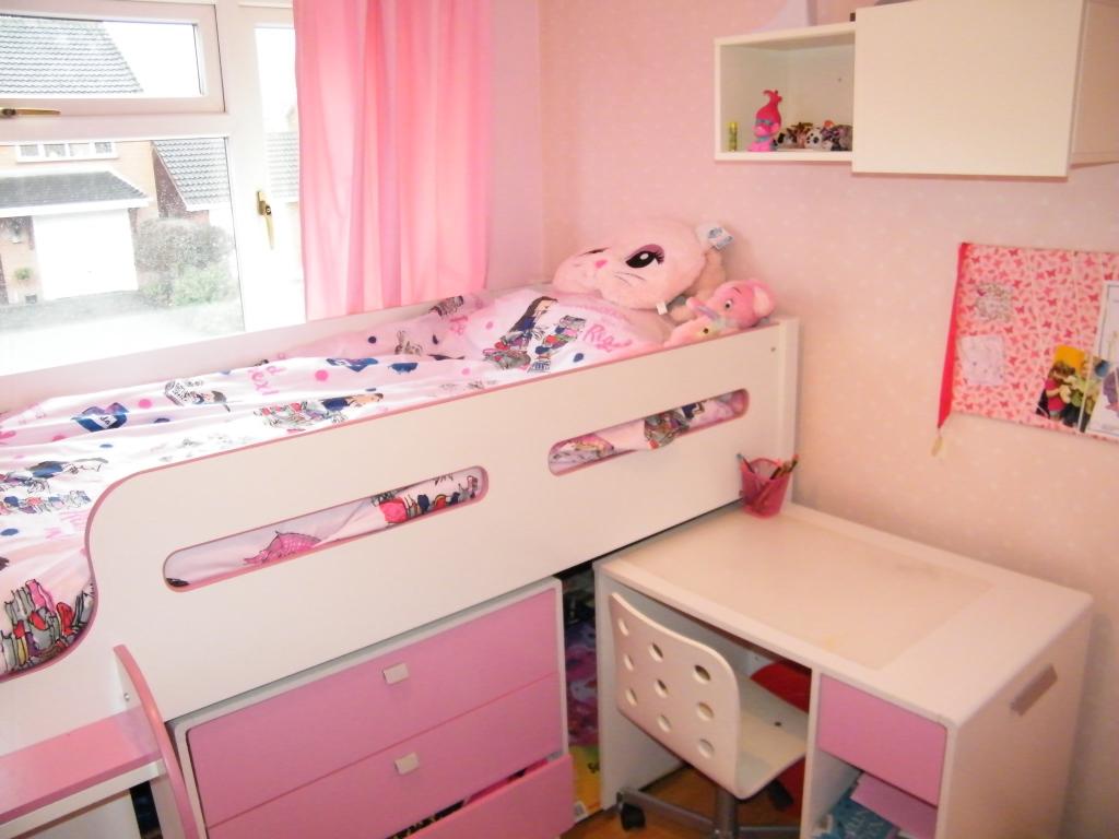
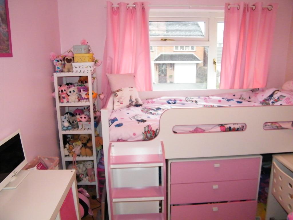
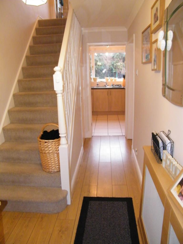
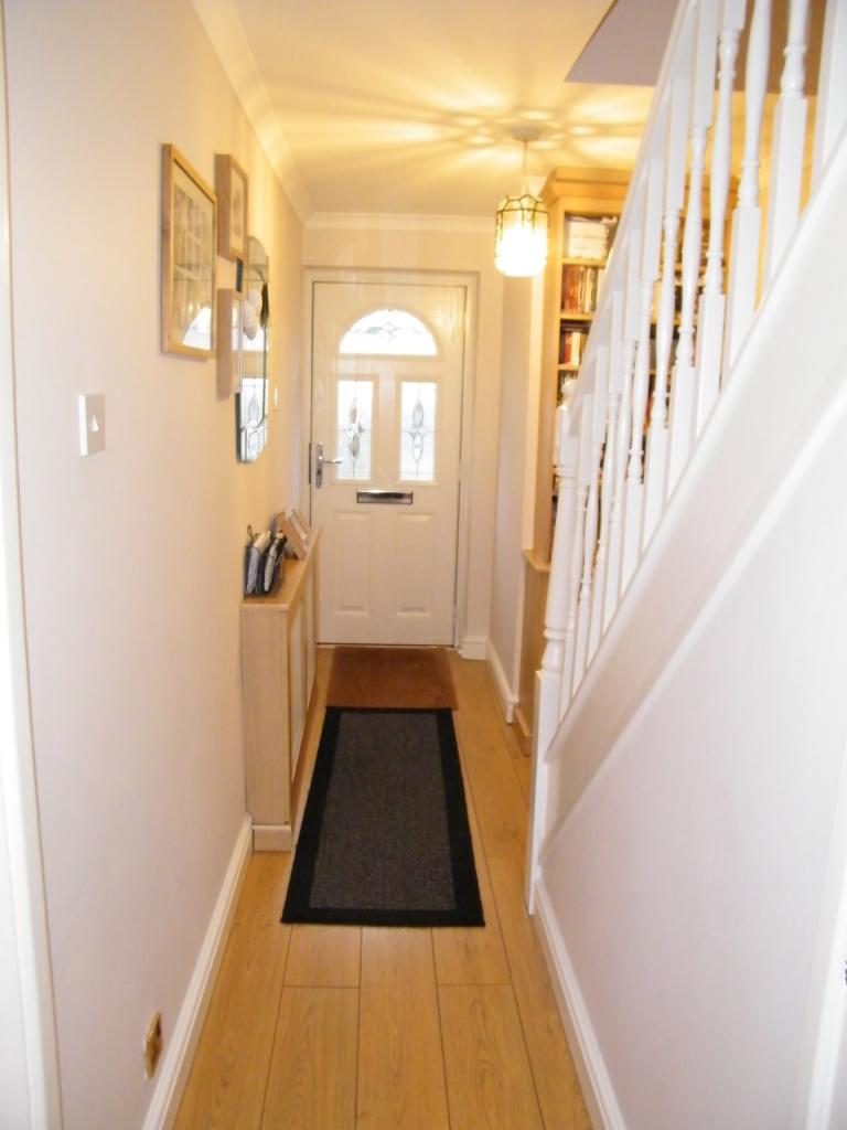
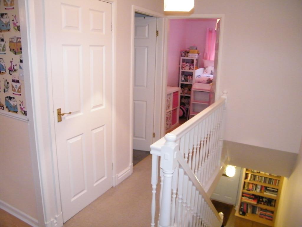
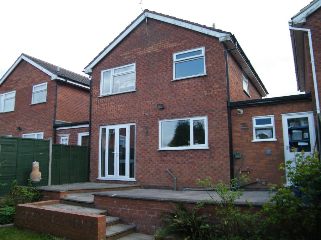
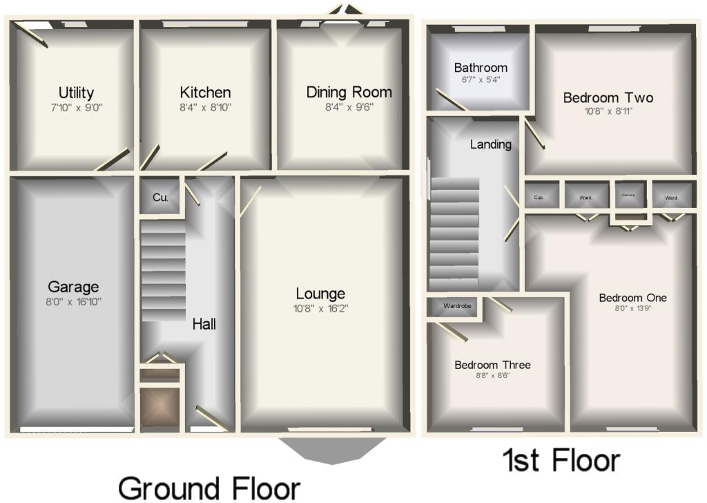
- Three bedroom link detached house
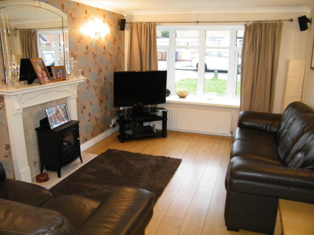
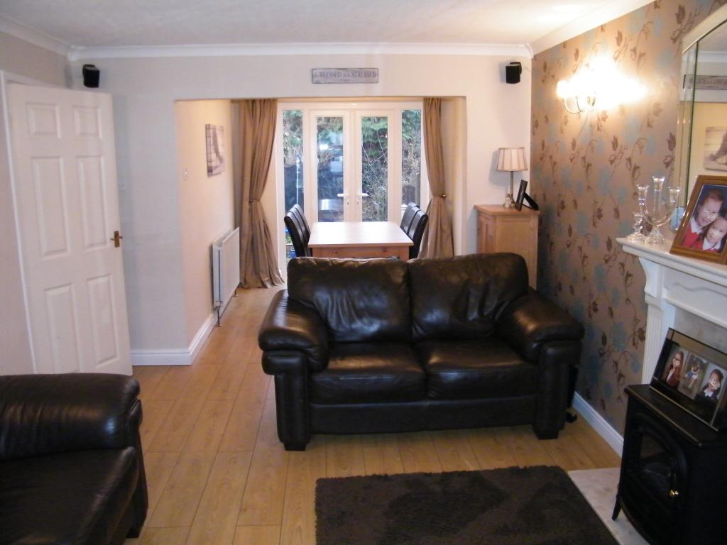
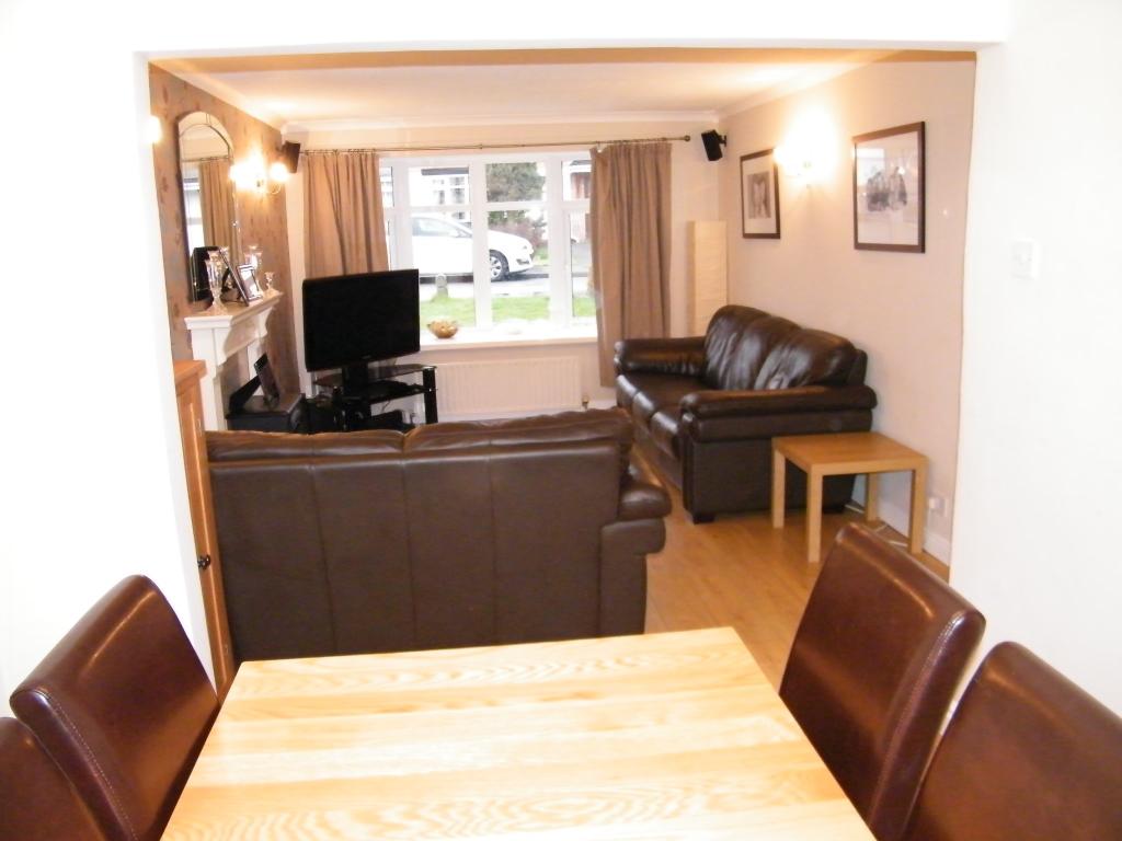
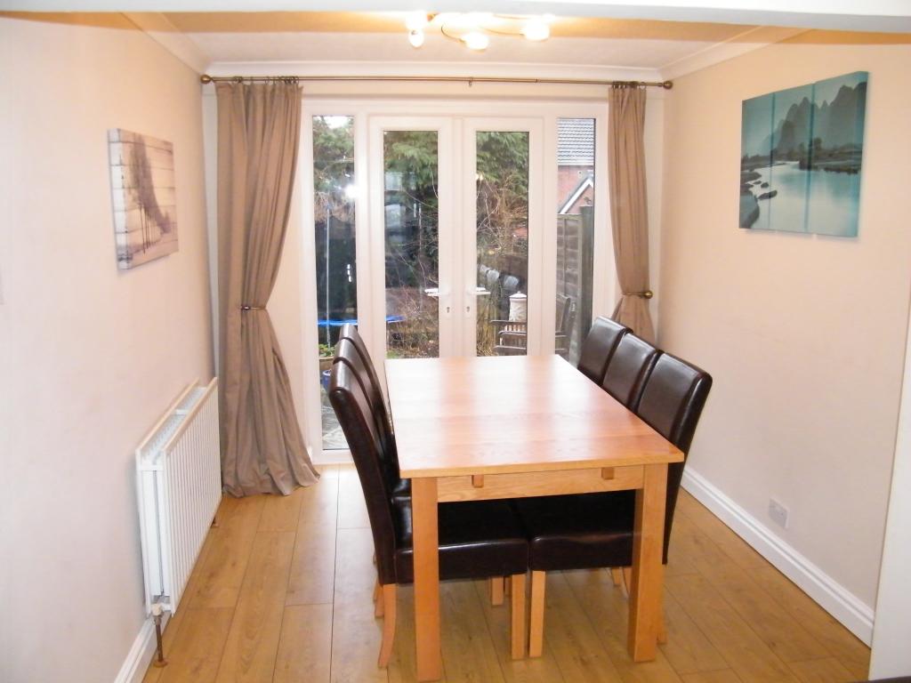
- Through lounge/dining room
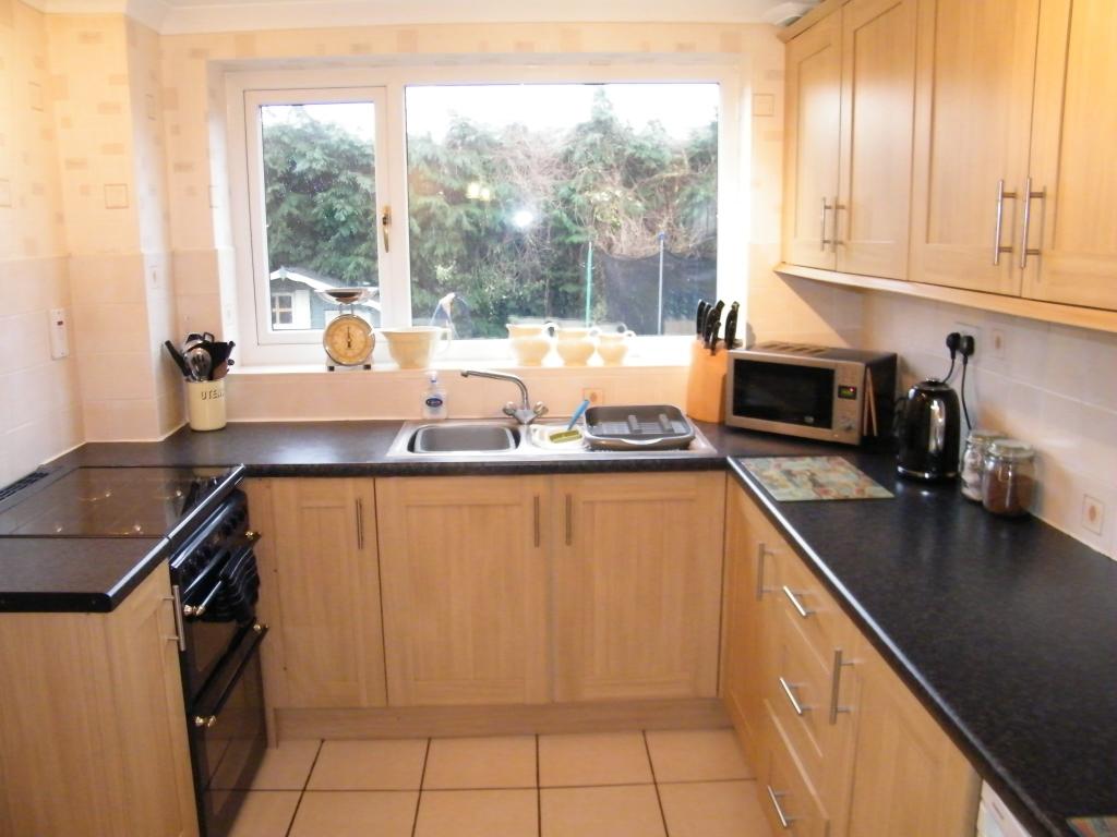
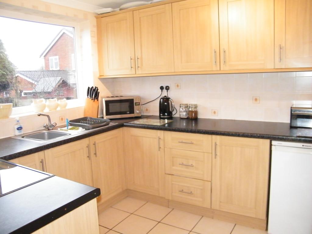
- Kitchen and utility room
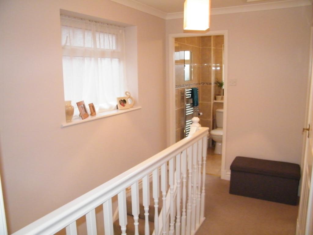
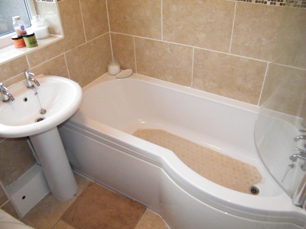
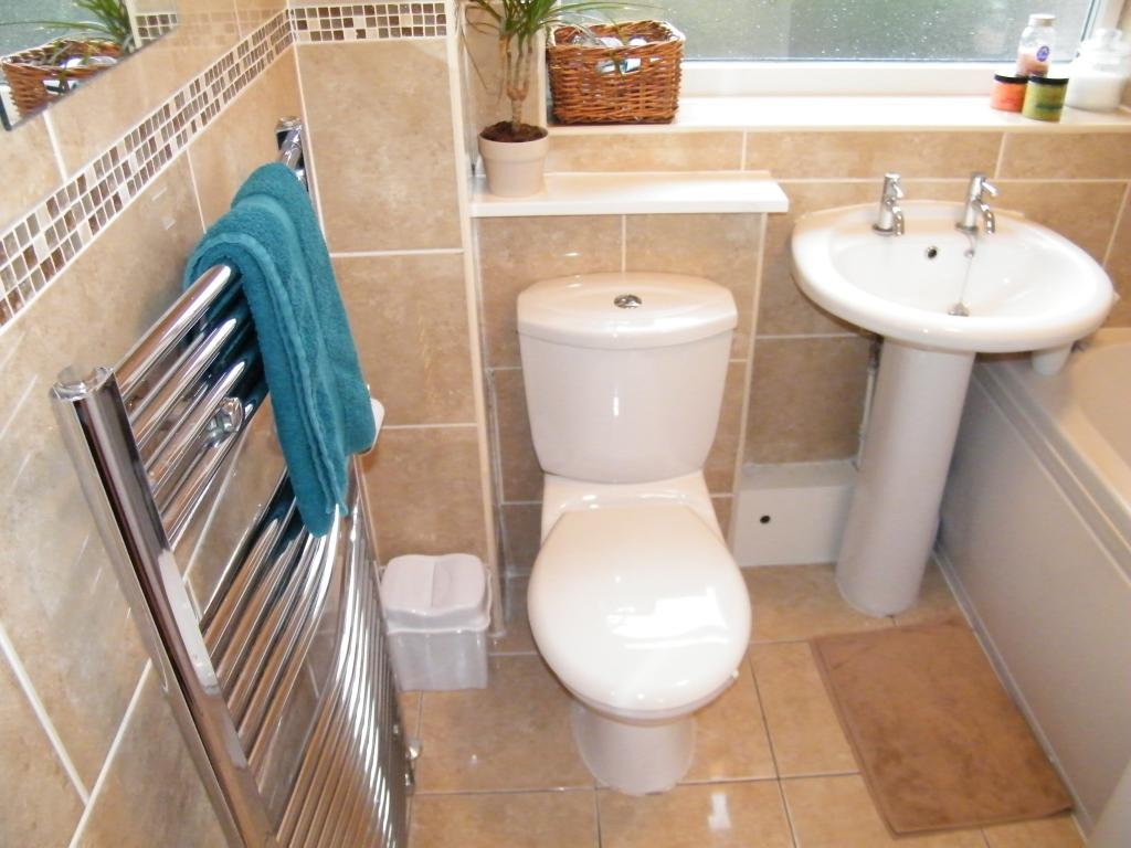
- Bathroom
- Gas central heating and double glazing
- Garage and off road parking
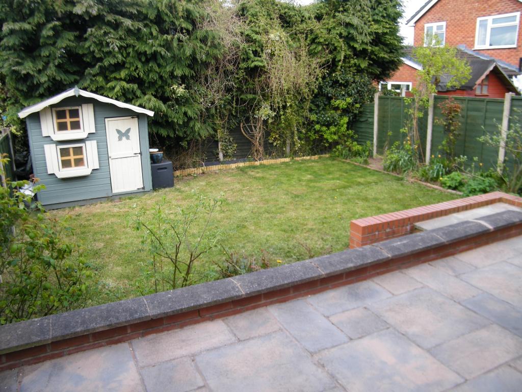
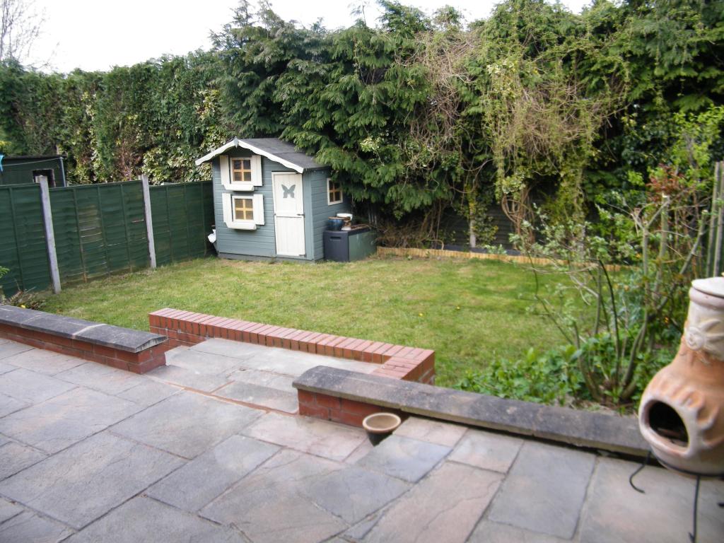
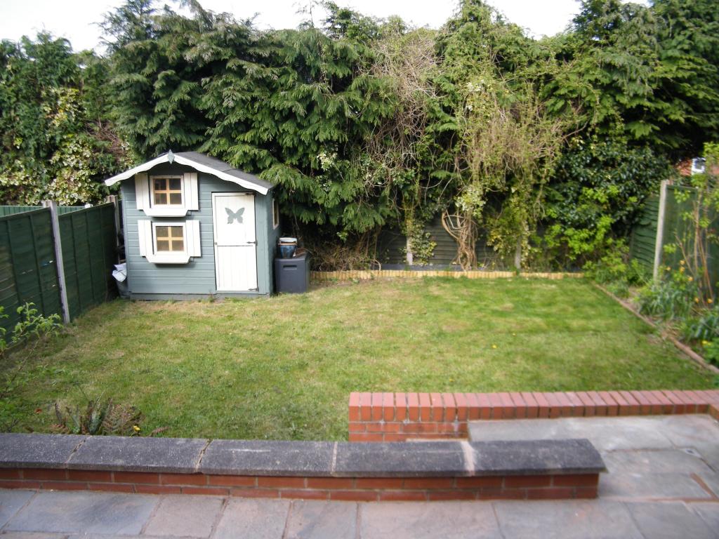
- Front and rear gardens
Additional details
- Parking
- Yes
- Garden
- Yes
Description
Located in a cul de sac in Burntwood within walking distance of Ridgeway Primary School with Eramus Darwin Academy and Chasetown Community School also nearby.
Listed by
Burntwood
Countrywide UK Sales - Connells
Reference: 64031588
EPC Rating & Upgrade Cost
Current rating: D
Potential rating: B
Inspection date: 17/01/2017
Expiry date: 16/01/2027
Current heating cost: £675/year
Potential heating cost: £538/year
Recommendations
- Floor insulation (solid floor) (6,000)
- Low energy lighting for all fixed outlets (35)
- Upgrade heating controls (450)
- Replace boiler with new condensing boiler (3,000)
- Solar water heating (6,000)
- Solar photovoltaic panels, 2.5 kWp (8,000)
Flood risk
Zone: 1
Risk: Low
Job (default Low)
Floorplans
CWQuickSketch.jpg
EPC Graphs
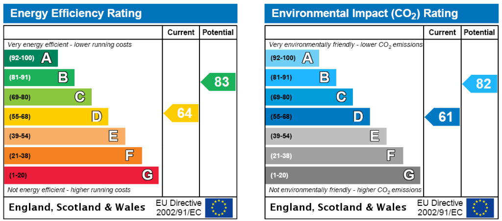
Energy Certificate
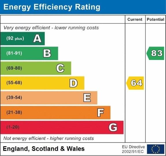
EPC.jpg
FENSA Certificates
This property has 2 FENSA certificate(s) on record, indicating window/door installations by FENSA-approved installers.
FENSA Certificate #8784389
Property Details
Street: 6 Hazelmere Drive
Town: BURNTWOOD
Postcode: WS7 4YP
Installation Details
Items: 3 windows and 2 doors
Certificate Issued: 09/04/2012
Work Completed: 08/03/2012
This certificate data was retrieved from FENSA's database
FENSA Certificate #2325214
Property Details
Street: 6 Hazelmere Drive
Town: BURNTWOOD
Postcode: WS7 4YP
Installation Details
Items: 5 windows
Certificate Issued: 20/12/2004
Work Completed: 15/11/2004
This certificate data was retrieved from FENSA's database
What is FENSA? FENSA (Fenestration Self-Assessment Scheme) is a government-authorised scheme that monitors building regulation compliance for replacement windows and doors. Certificates indicate that work was completed by FENSA-approved installers.
Price history
174% since 1999
| Event | Date | Price | % change |
|---|---|---|---|
| Sold | 26/01/2018 (8 years ago) | £183,500 | +173.9% |
| Sold | 30/06/1999 (27 years ago) | £67,000 | — |
Source: HM Land Registry Price Paid Data. Crown copyright.
Sold Comparables
Same street and nearby sales within 0.25 miles (last 5 years). Data from Land Registry Price Paid.
| Address | Price | Date | Type |
|---|---|---|---|
| Same street 15 HAZELMERE DRIVE, BURNTWOOD, LICHFIELD, STAFFORDSHIRE, WS7 4YP | £310,000 | 09/05/2025 | Detached |
| 54A HIGHFIELDS ROAD, CHASETOWN, BURNTWOOD, LICHFIELD, STAFFORDSHIRE, WS7 4QU | £397,000 | 21/12/2023 | Detached |
| 91 QUEEN STREET, BURNTWOOD, LICHFIELD, STAFFORDSHIRE, WS7 4QQ | £312,500 | 04/10/2023 | Detached |
| 58 HIGHFIELDS ROAD, CHASETOWN, BURNTWOOD, LICHFIELD, STAFFORDSHIRE, WS7 4QU | £700,000 | 01/09/2023 | Detached |
| Same street 21 HAZELMERE DRIVE, BURNTWOOD, LICHFIELD, STAFFORDSHIRE, WS7 4YP | £360,000 | 15/05/2023 | Detached |
| 73 HIGHFIELDS ROAD, CHASETOWN, BURNTWOOD, LICHFIELD, STAFFORDSHIRE, WS7 4QS | £385,000 | 16/12/2022 | Detached |
| Same street 7 HAZELMERE DRIVE, BURNTWOOD, LICHFIELD, STAFFORDSHIRE, WS7 4YP | £245,000 | 21/10/2022 | Semi-detached |
| 21 DAVY CLOSE, BURNTWOOD, LICHFIELD, STAFFORDSHIRE, WS7 4FB | £337,500 | 06/05/2022 | Detached |
| 42 LAWNSWOOD AVENUE, BURNTWOOD, LICHFIELD, STAFFORDSHIRE, WS7 4SZ | £208,000 | 24/02/2022 | Detached |
| 6 BELVEDERE CLOSE, BURNTWOOD, LICHFIELD, STAFFORDSHIRE, WS7 4YR | £315,000 | 13/01/2022 | Detached |
| 19 DAVY CLOSE, BURNTWOOD, LICHFIELD, STAFFORDSHIRE, WS7 4FB | £328,000 | 24/09/2021 | Detached |
| 16 BELVEDERE CLOSE, BURNTWOOD, LICHFIELD, STAFFORDSHIRE, WS7 4YR | £290,000 | 20/08/2021 | Detached |
| 22 QUEEN STREET, BURNTWOOD, LICHFIELD, STAFFORDSHIRE, WS7 4QH | £290,000 | 10/08/2021 | Detached |
| 35A HIGHFIELDS ROAD, CHASETOWN, BURNTWOOD, LICHFIELD, STAFFORDSHIRE, WS7 4QS | £285,000 | 04/08/2021 | Detached |
Street average: £305,000 (3 sales)
Area average: £349,818 (11 sales)
Capital growth trend
Land Registry outcode average: last 12 months vs 5y and 10y ago (from sold prices).
House Price Index (HM Land Registry — official index, not sold-price averages): Lichfield. Series: Detached. As of April 2026.
Rental Range
Estimated market rent for Lichfield. Low = conservative, Realistic = average, Optimistic = best case.
Based on Local Authority from postcode lookup → Lichfield.
LHA (30th percentile) floor for Mid Staffs: £738/mo (Apr 2025 – Mar 2026)
Location
Nearby
Nearest stations, universities and amenities (distance from property).
| Type | Name | Distance |
|---|---|---|
| Bus stop | Chestnut Court | 0.1 miles |
| Train station | Chasetown (Church Street) | 0.6 miles |
| Shop | Chasewater Cycle | 0.8 miles |
| Train station | Chasewater Heaths | 0.8 miles |
| Shop | Ladbrokes | 0.9 miles |
| Hospital | Samuel Johnson Community Hospital | 4.9 miles |
| Hospital | Little Aston Hospital | 5.3 miles |
| University | Maryvale Institute | 8.5 miles |
| University | University of Wolverhampton | 9.9 miles |
Street-level crime
| Category | Count |
|---|---|
| Violence and sexual offences | 50 |
| Anti-social behaviour | 15 |
| Shoplifting | 14 |
| Criminal damage and arson | 9 |
| Public order | 7 |
| Vehicle crime | 4 |
| Other crime | 3 |
| Robbery | 3 |
| Burglary | 2 |
| Other theft | 2 |
| Possession of weapons | 2 |
| Bicycle theft | 1 |
| Total incidents | 112 |
Within 1 mile during May 2026. Source: data.police.uk (England & Wales).
Schools nearby
Nearest open schools with Ofsted ratings (England). Closed schools are not shown. Data from Get Information about Schools and Ofsted.
| Name | Type | Distance | Ofsted |
|---|---|---|---|
| Erasmus Darwin Academy | Secondary | 0.3 miles | Good — 3 Oct 2014 |
| Ridgeway Primary Academy | Primary | 0.3 miles | — (Inspected (no overall grade)) |
| Chasetown Community School | Other | 0.3 miles | Good — 12 Jul 2013 |
| St Joseph and St Theresa Catholic Primary | Primary | 0.4 miles | Good — 30 Jan 2023 |
| Springhill Primary Academy | Primary | 0.7 miles | Good — 23 Jun 2019 |
Rental Comparables
Residential lets from OpenRent and Rightmove for the area (same bedroom count). Use to validate rent estimates. Student lets are excluded.
| Title | Rent | Beds | Distance | As seen on |
|---|---|---|---|---|
| 3 Bed Terraced House, Queen Street, WS7 | £750/mo | 3 | 0.25 miles | OpenRent |
| 3 Bed Terraced House, Summerfield Road, WS7 | £1,095/mo | 3 | 0.35 miles | OpenRent |
| 3 Bed End Terrace, Manor Rise, WS7 | £1,150/mo | 3 | 0.42 miles | OpenRent |
| 3 Bed Semi-Detached House, Follows End, WS7 | £1,300/mo | 3 | 0.43 miles | OpenRent |
| 3 Bed Semi-Detached House, Woodford Crescent, WS7 | £1,250/mo | 3 | 1.01 miles | OpenRent |
| 3 Bed Semi-Detached House, Emmanuel Road, WS7 | £1,100/mo | 3 | 1.07 miles | OpenRent |
Average rent: £1,108/mo (6 listings)
Rent-driven metrics
Based on OpenRent comparables.
- Rent ratio — Monthly rent ÷ purchase price (1% rule). 1%+ = strong, 0.8–1% = okay, <0.8% = weak for cashflow.
- Max investor price — Rent ÷ 0.8%; the price at which rent would be 0.8% of price (Stoke-style target).
- Target investor price — Rent ÷ 1%; the price at which rent would be 1% of price (strong cashflow band).
- Gross yield — Annual rent as % of purchase price (no costs).
- Cost-to-rent — Price ÷ annual rent (from OpenRent comparables). Under 14× = strong, 14–16× = acceptable, 17×+ = compressed.
- Cashflow — Rent minus mortgage, 10% maintenance, £25/mo compliance. Assumes 75% LTV, 3.95% APR (5yr fixed), 25yr term.
- ROI — Annual profit ÷ cash in (deposit + 4% purchase costs).