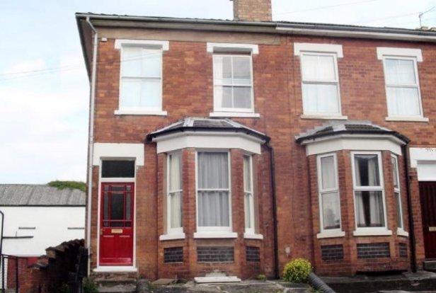
10 BELMONT STREET
WORCESTER, WORCESTERSHIRE WR3 8NN
£650 pcm
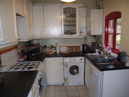
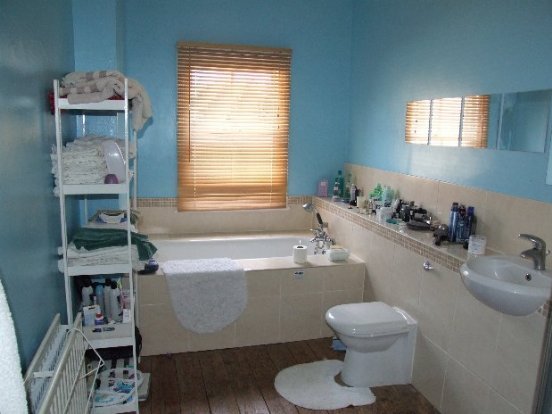
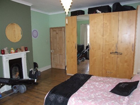
Property details
Floor area
107 m²
EPC rating
D
Year built
England and Wales: 1900-1929
Deprivation
Decile 6 (17,427 of 33,755)
Street crime
494 incidents within 1 mile (Apr 2026)
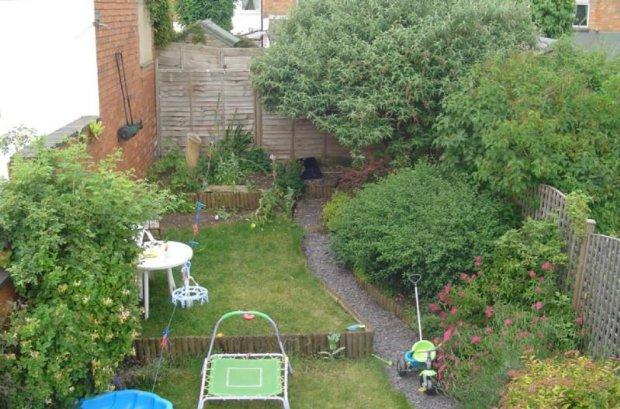
Key features
- 3 Bedrooms
- Victorian End Terrace
- Un-Furnished
- Rear Garden
- GCH
- C/Tax: B
Additional details
- Parking
- Yes
- Garden
- Yes
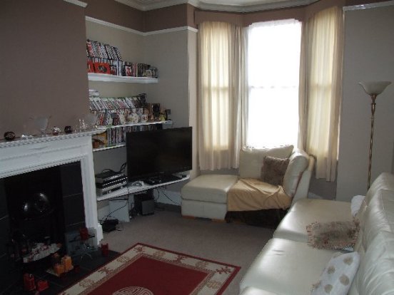
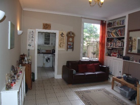
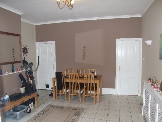
Description
Listed by
Worcester
The Property Franchise Group
Reference: 28225710
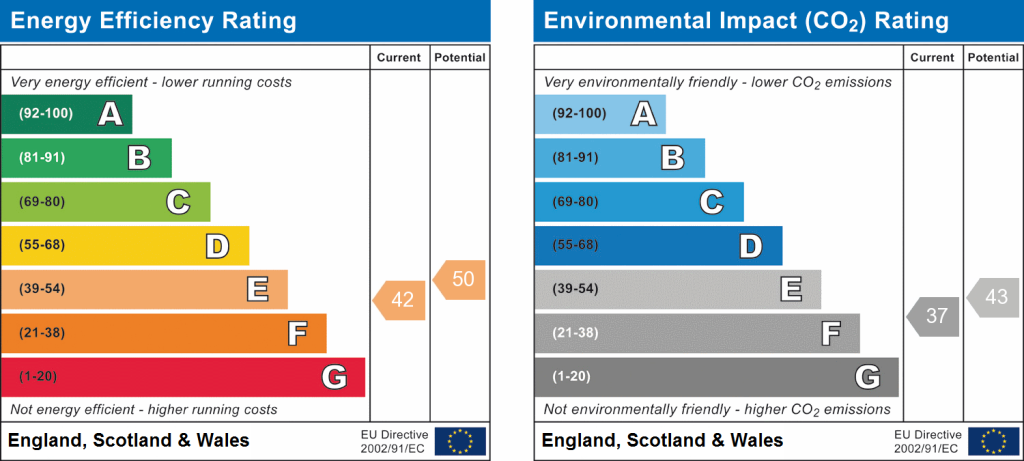
EPC Rating & Upgrade Cost
Current rating: D
Potential rating: B
Inspection date: 27/05/2025
Expiry date: 26/05/2035
Current heating cost: £977/year
Potential heating cost: £593/year
Est. upgrade cost to C: £23,500
Recommendations
- 50 mm internal or external wall insulation (£4,000 - £14,000)
- Floor insulation (solid floor) (£4,000 - £6,000)
- Solar water heating (£4,000 - £6,000)
- Solar photovoltaic panels, 2.5 kWp (£3,500 - £5,500)
Flood risk
Zone: 1
Risk: Low
Job (default Low)
Rental Range
Estimated market rent for Worcester. Low = conservative, Realistic = average, Optimistic = best case.
Based on Local Authority from postcode lookup → Worcester.
LHA (30th percentile) floor for Worcester South: £823/mo (Apr 2025 – Mar 2026)
Location
Nearby
Nearest stations, universities and amenities (distance from property).
| Type | Name | Distance |
|---|---|---|
| Bus stop | The Vauxhall | 0.1 miles |
| Bus stop | Dutton Street | 0.1 miles |
| Shop | Unknown | 0.1 miles |
| Shop | Jessica Jones / LSF | 0.4 miles |
| Train station | Worcester Shrub Hill | 0.5 miles |
| Train station | Worcester Foregate Street | 0.7 miles |
| Hospital | Worcestershire Royal Hospital | 1.5 miles |
| Hospital | Spire Southbank Hospital | 1.5 miles |
| University | University of Worcester Lakeside Campus | 4.0 miles |
Street-level crime
| Category | Count |
|---|---|
| Violence and sexual offences | 202 |
| Shoplifting | 92 |
| Criminal damage and arson | 43 |
| Other theft | 31 |
| Public order | 30 |
| Burglary | 29 |
| Vehicle crime | 15 |
| Drugs | 14 |
| Bicycle theft | 11 |
| Other crime | 10 |
| Possession of weapons | 8 |
| Robbery | 7 |
| Theft from the person | 2 |
| Total incidents | 494 |
Within 1 mile during Apr 2026. Source: data.police.uk (England & Wales).
Schools nearby
Nearest open schools with Ofsted ratings (England). Closed schools are not shown. Data from Get Information about Schools and Ofsted.
| Name | Type | Distance | Ofsted |
|---|---|---|---|
| St Barnabas CofE Primary School | Primary | 0.2 miles | — (Inspected (no overall grade)) |
| Bishop Perowne CofE College | Secondary | 0.3 miles | Good — 17 Apr 2024 |
| Hollymount School | Primary | 0.5 miles | Good — 17 Jul 2023 |
| St George's CofE Primary School | Primary | 0.6 miles | Good — 28 Nov 2022 |
| Royal Grammar School Worcester | Other | 0.6 miles | — (No rating) |
Rental Comparables
Residential lets from OpenRent and Rightmove for the area (same bedroom count). Use to validate rent estimates. Student lets are excluded.
| Title | Rent | Beds | Distance | As seen on |
|---|---|---|---|---|
| 3 Bed Semi-Detached House, Tunnel Hill, WR4 | £1,100/mo | 3 | 0.25 miles | OpenRent |
| 3 Bed Semi-Detached House, Lansdowne Crescent, WR3 | £1,450/mo | 3 | 0.25 miles | OpenRent |
| 3 Bed Semi-Detached House, Pope Iron Road, WR1 | £3,250/mo | 3 | 0.97 miles | OpenRent |
Average rent: £1,933/mo (3 listings)