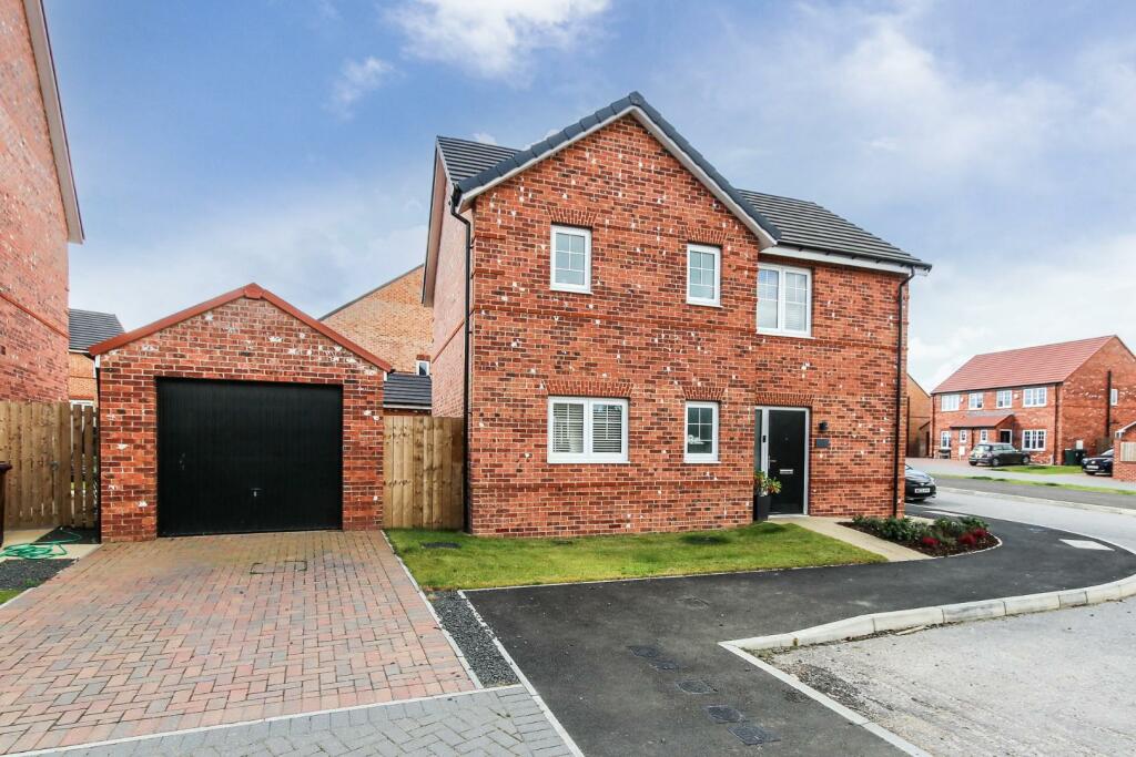
8 OAK CLOSE
NEWCASTLE UPON TYNE, CAMPERDOWN, TYNE AND WEAR NE12 5AD
Property details
Tenure
FREEHOLD
Floor area
103 m²
Council tax band
D
EPC rating
B
Last sold
£305,000 Feb 2025
Price per m²
£2,913/m²
Local average
£347,688 (-13.7%)
Street crime
73 incidents within 1 mile (Apr 2026)
Key features
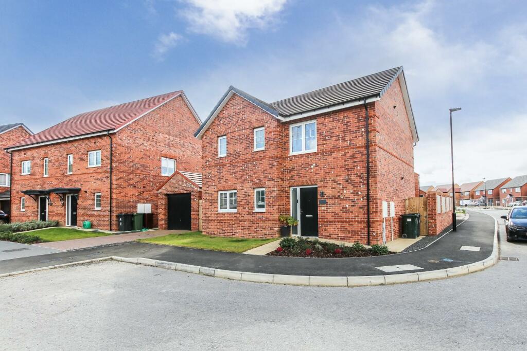
- Three bedroom, detahced family home.
- Well maintained throughout.
- Low maintinence front and rear gardens with private driveway and single garage.
- Within walking distance to local Schools, amenities and transport links.
Additional details
- Parking
- Yes
- Garden
- Yes
Description
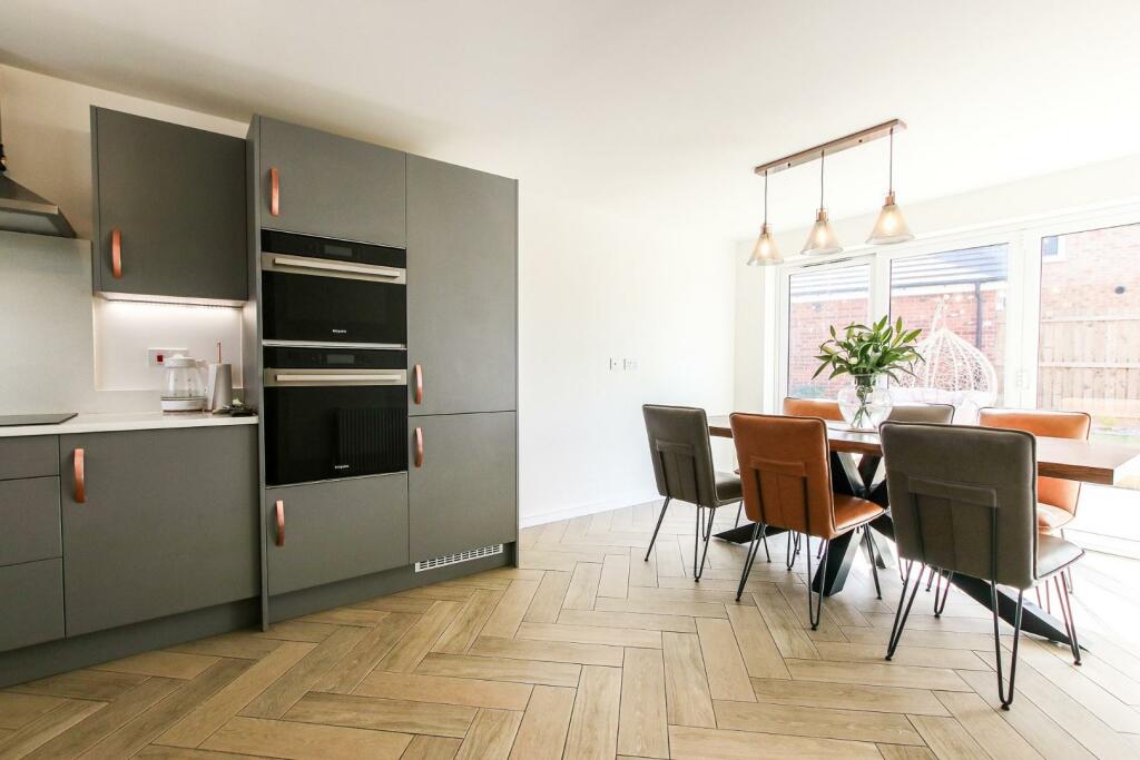
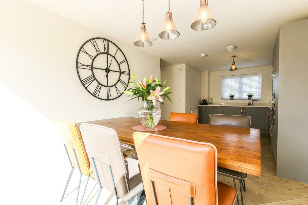
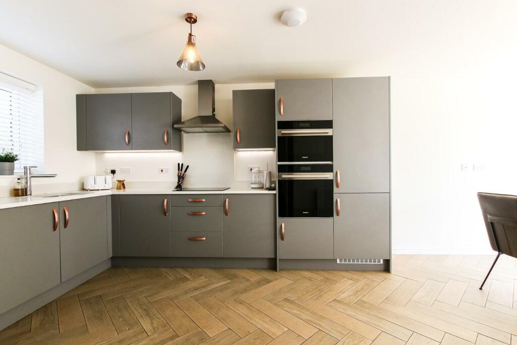
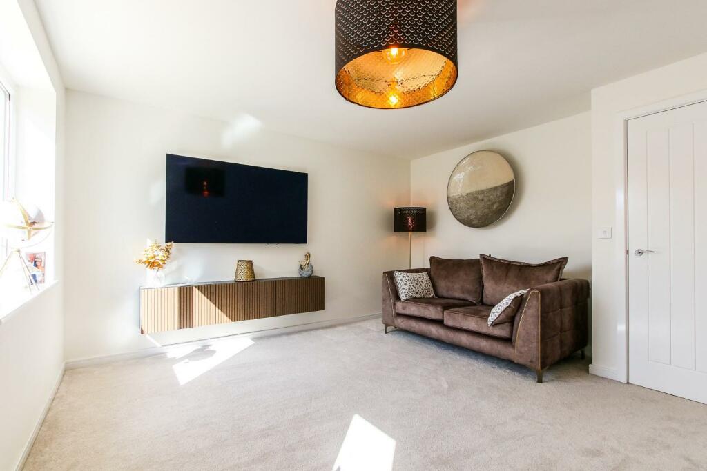
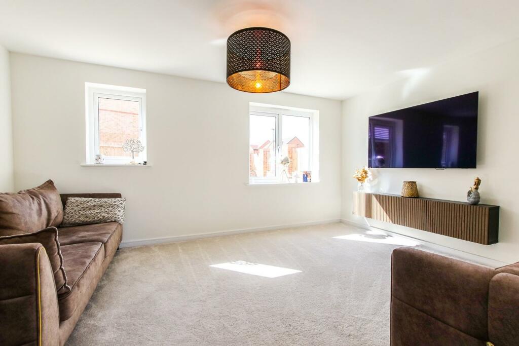
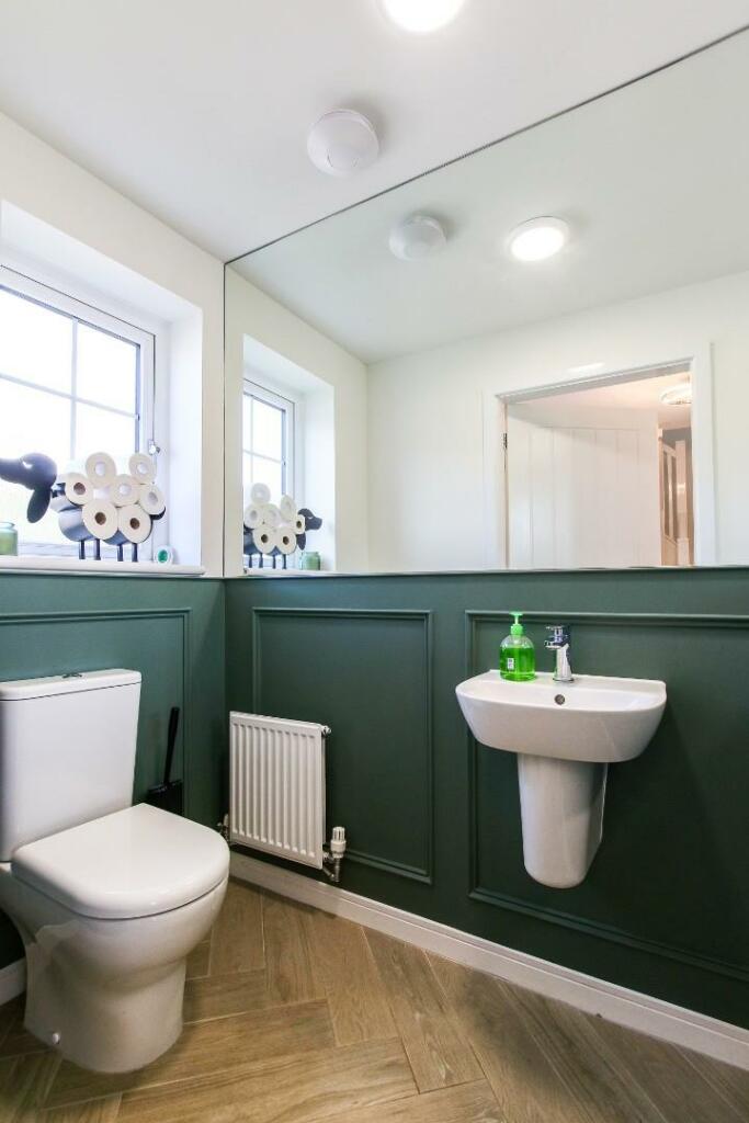
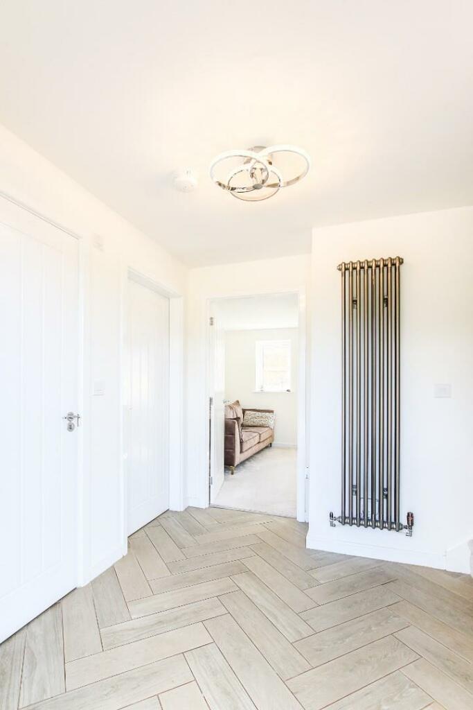
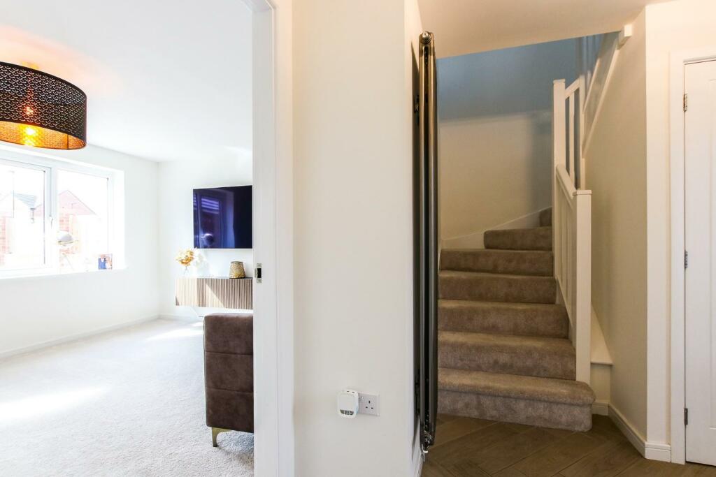
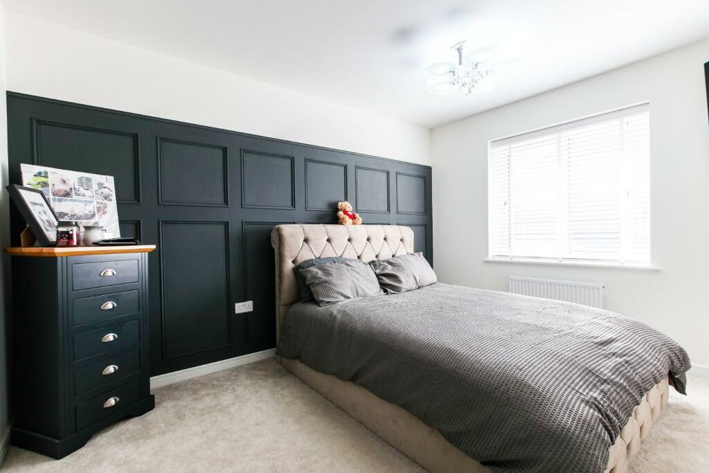
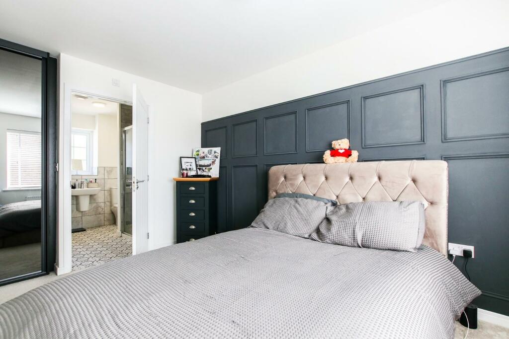
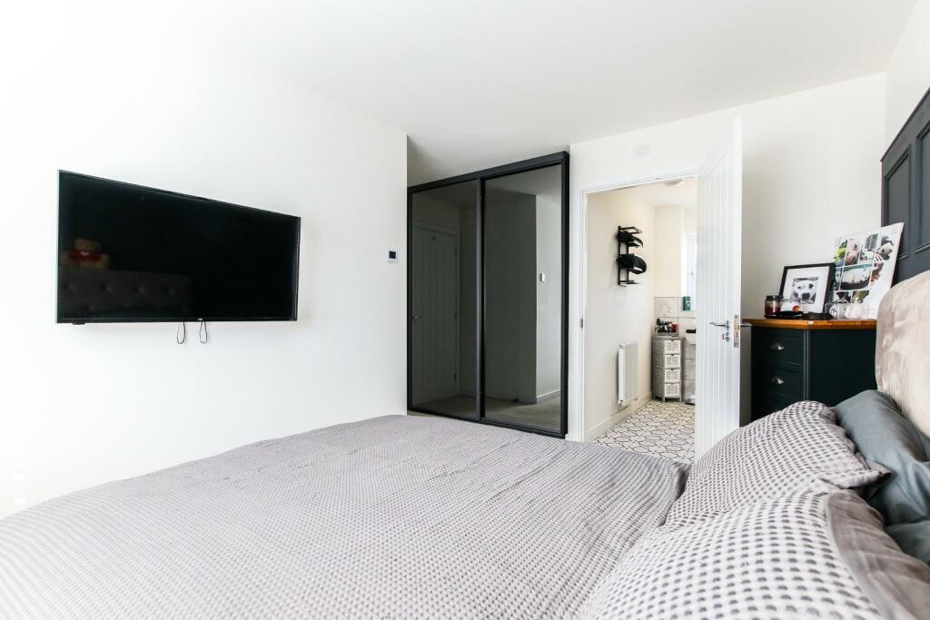
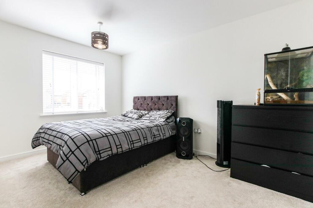
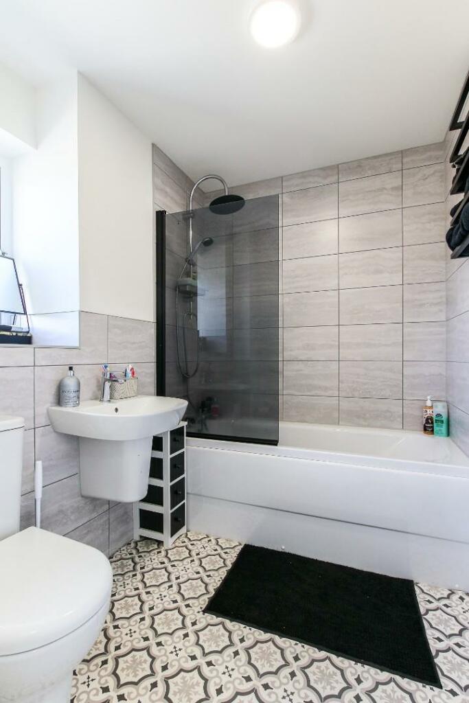
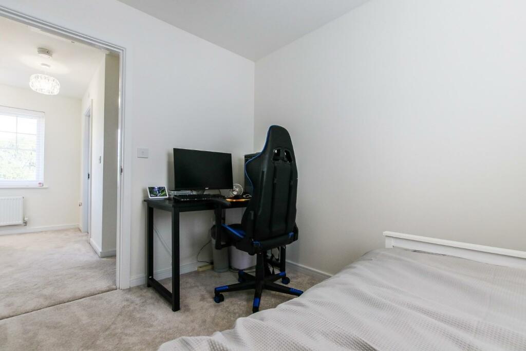
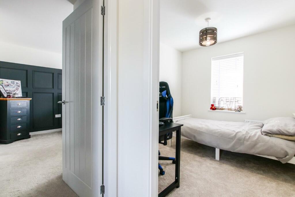
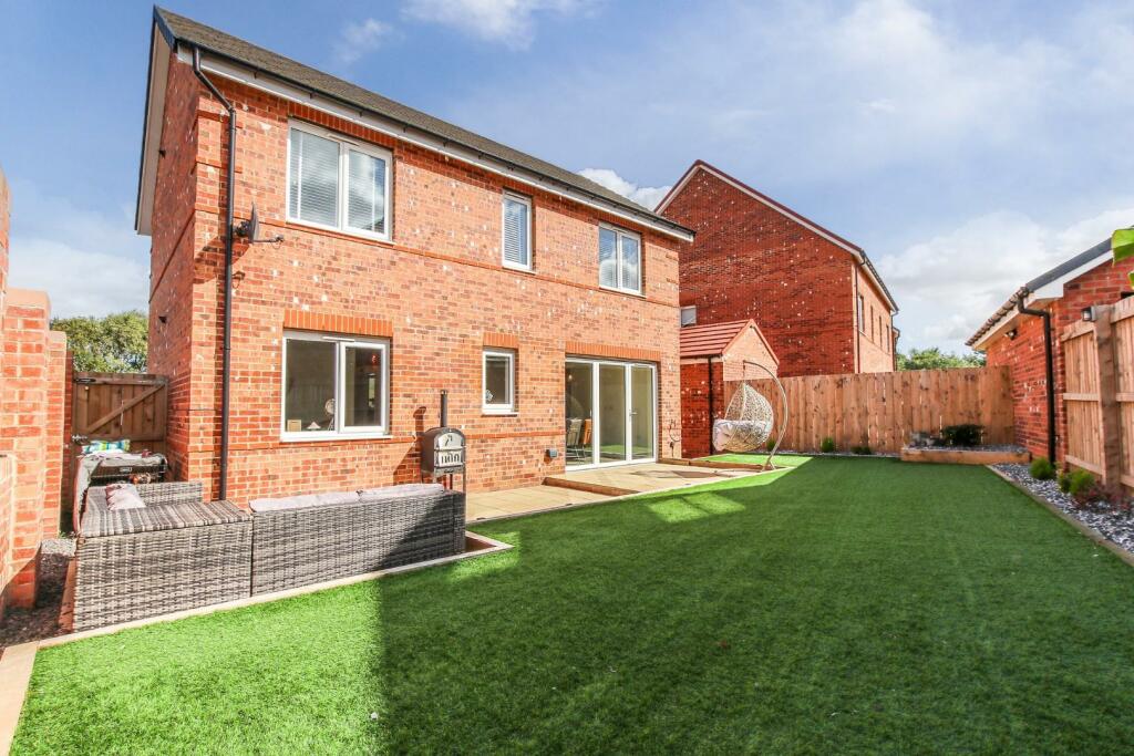
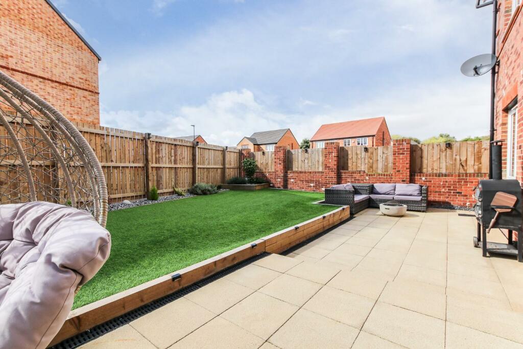
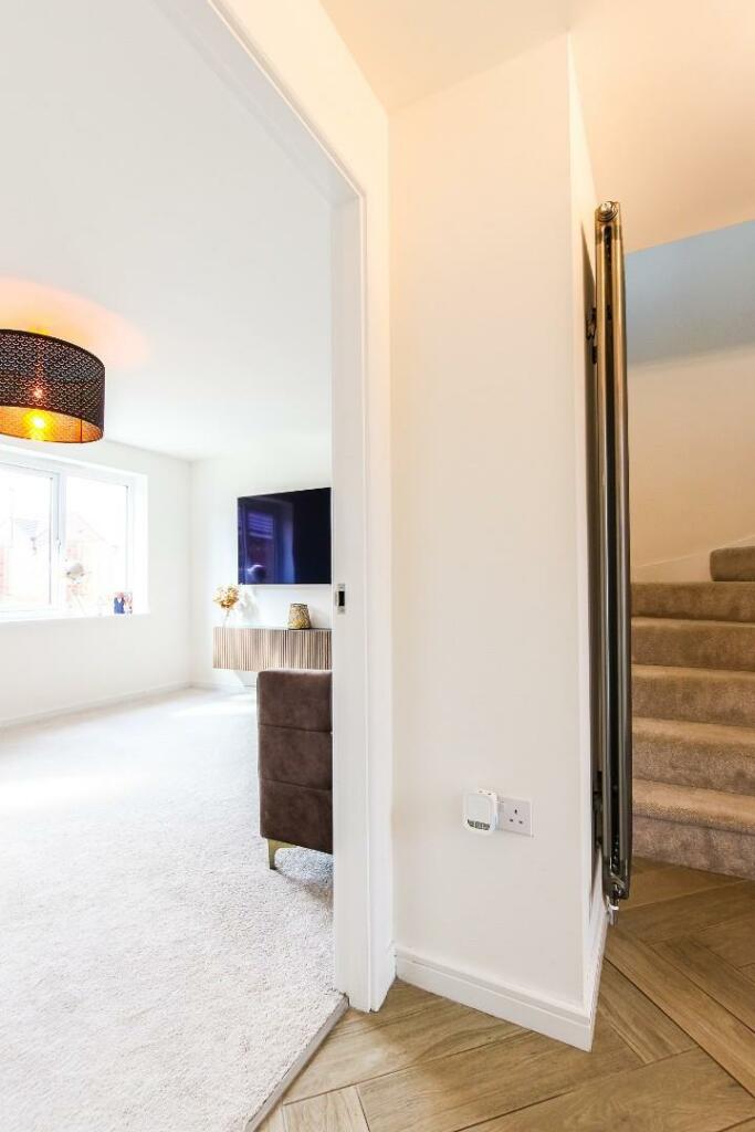
The property briefly comprises of an entrance hallway, downstairs WC, living room and spacious open plan kitchen/ diner. Three bedrooms and a family bathroom occupy the first floor. Externally, the front of the property features a lawned garden with a low maintenance paved driveway which offers off street parking and access to the detached single garage. A sunny low maintenance garden with artificial lawn and patio area is located to the rear.
The property is close to Gosforth, Balliol, and Quorum Business Parks, with the A1 and A19 easily accessible for those commuting further afield. West Moor is also adjacent to Killingworth, home to The Killingworth Centre (anchored by a large Morrison’s supermarket), and the White Swan Centre, which includes a Doctors’ surgery, activity hall, Cafe and Killingworth Library. The Lakeside Centre offers up various leisure facilities including a swimming pool and soft play for children.
Listed by
Newcastle
Alexander Hudson Estates Ltd
Reference: 153174797
EPC Rating & Upgrade Cost
Current rating: B
Potential rating: A
Inspection date: 10/11/2022
Expiry date: 09/11/2032
Current heating cost: £270/year
Potential heating cost: £270/year
Est. upgrade cost to C: £9,500
Recommendations
- Solar water heating (£4,000 - £6,000)
- Solar photovoltaic panels, 2.5 kWp (£3,500 - £5,500)
Flood risk
Zone: 1
Risk: Low
Job (default Low)
Floorplans
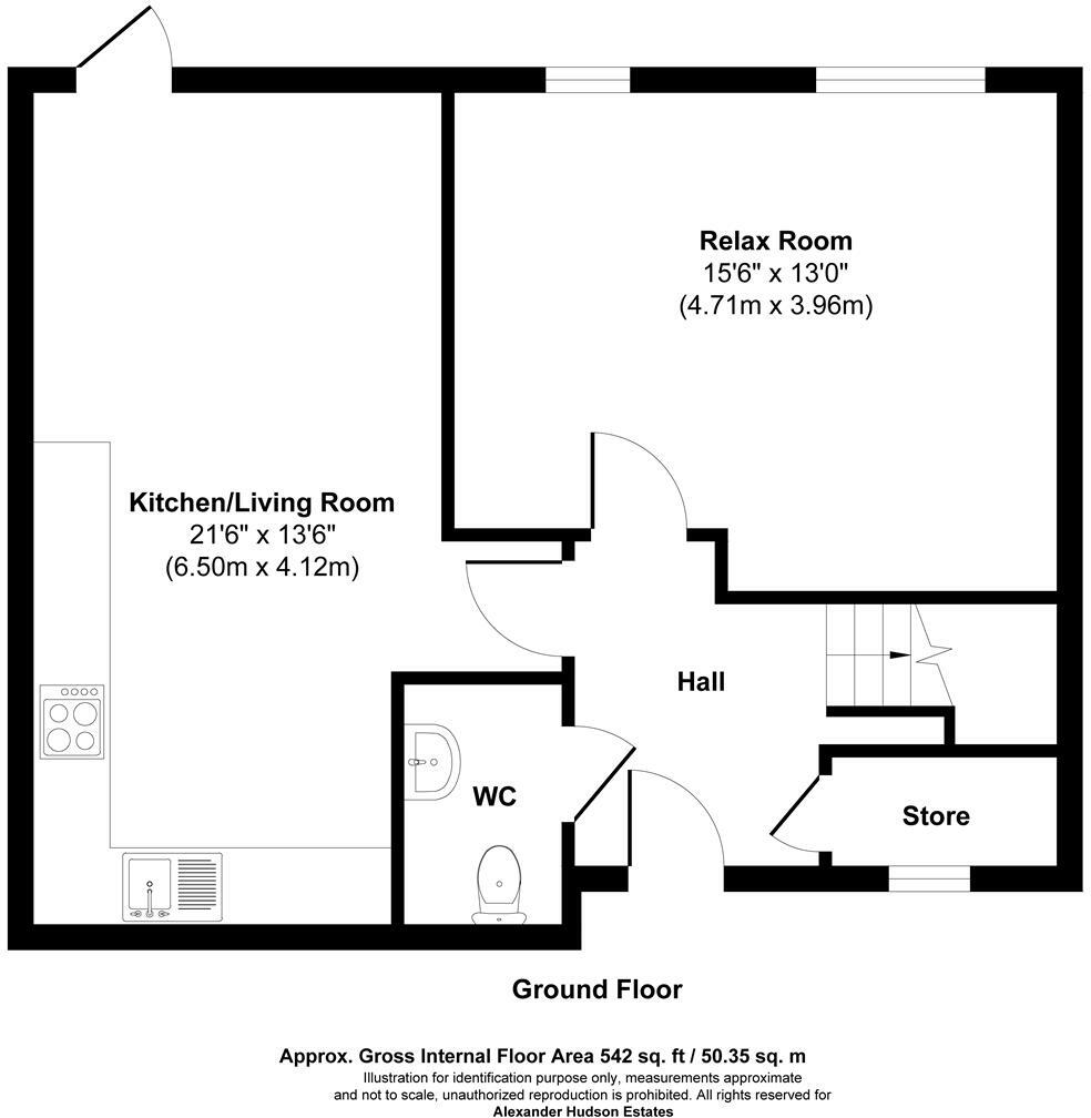
GF.jpg
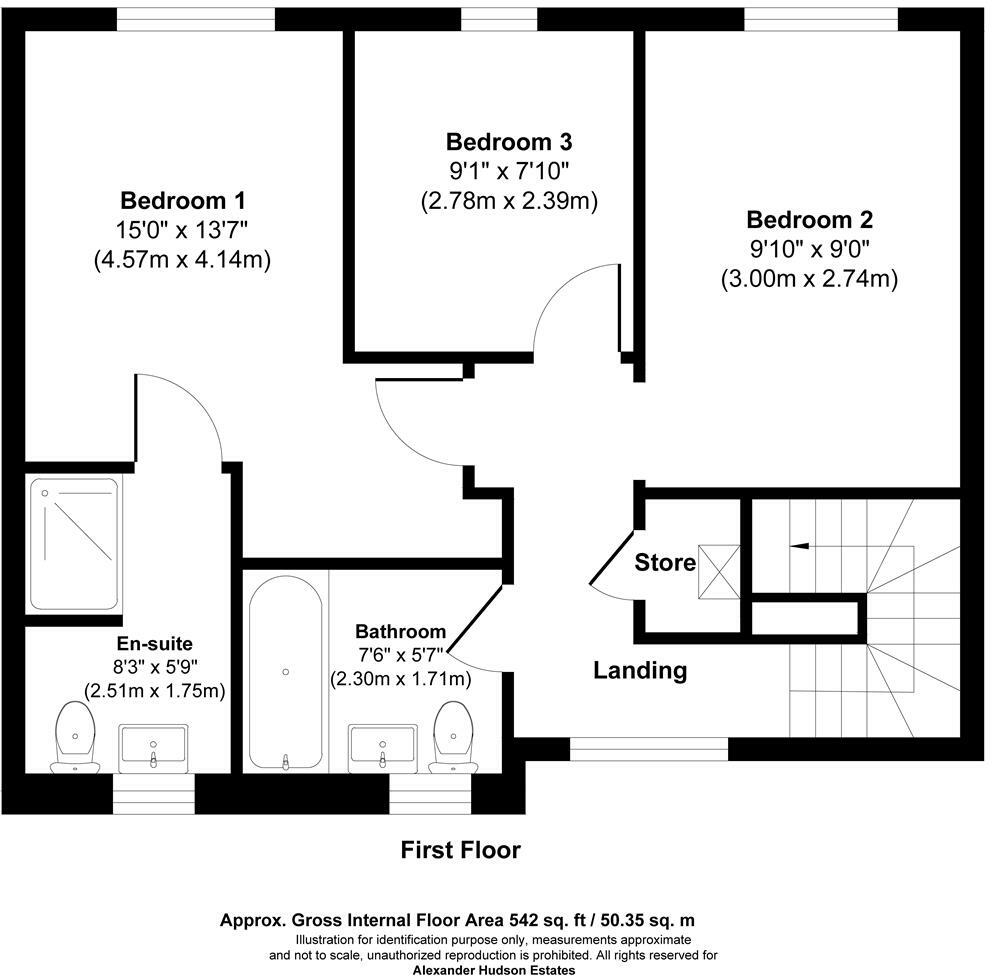
FF.jpg
EPC Graphs
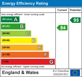
EE Rating
Price history
5% since 2023
| Event | Date | Price | % change |
|---|---|---|---|
| Sold | 07/02/2025 (1 year ago) | £305,000 | +5.2% |
| Sold | 10/03/2023 (3 years ago) | £289,995 | — |
Source: HM Land Registry Price Paid Data. Crown copyright.
Sold Comparables
Same street and nearby sales within 0.25 miles (last 5 years). Data from Land Registry Price Paid.
| Address | Price | Date | Type |
|---|---|---|---|
| Same street 12 OAK CLOSE, CAMPERDOWN, NEWCASTLE UPON TYNE, NORTH TYNESIDE, TYNE AND WEAR, NE12 5AD | £274,995 | 27/10/2023 | Semi-detached |
| 15 ACORN DRIVE, CAMPERDOWN, NEWCASTLE UPON TYNE, NORTH TYNESIDE, TYNE AND WEAR, NE12 5AS | £295,000 | 23/06/2023 | Detached |
| 10 HOLLY COURT, CAMPERDOWN, NEWCASTLE UPON TYNE, NORTH TYNESIDE, TYNE AND WEAR, NE12 5AN | £391,995 | 22/12/2022 | Detached |
| 14 HAZEL COURT, CAMPERDOWN, NEWCASTLE UPON TYNE, NORTH TYNESIDE, TYNE AND WEAR, NE12 5AL | £359,995 | 26/11/2022 | Detached |
| 5 HOLLY COURT, CAMPERDOWN, NEWCASTLE UPON TYNE, SOUTH TYNESIDE, TYNE AND WEAR, NE12 5AN | £282,995 | 28/10/2022 | Detached |
| 16 ACORN DRIVE, CAMPERDOWN, NEWCASTLE UPON TYNE, NORTH TYNESIDE, TYNE AND WEAR, NE12 5AS | £249,995 | 14/09/2022 | Detached |
| 12 HOLLY COURT, CAMPERDOWN, NEWCASTLE UPON TYNE, NORTH TYNESIDE, TYNE AND WEAR, NE12 5AN | £391,995 | 05/08/2022 | Detached |
| 20 PINETREE DRIVE, CAMPERDOWN, NEWCASTLE UPON TYNE, NORTH TYNESIDE, TYNE AND WEAR, NE12 5AQ | £295,000 | 05/08/2022 | Detached |
| 6 HOLLY COURT, CAMPERDOWN, NEWCASTLE UPON TYNE, NORTH TYNESIDE, TYNE AND WEAR, NE12 5AN | £376,995 | 28/06/2022 | Detached |
| 11 HOLLY COURT, CAMPERDOWN, NEWCASTLE UPON TYNE, NORTH TYNESIDE, TYNE AND WEAR, NE12 5AN | £284,995 | 27/05/2022 | Detached |
| 3 HOLLY COURT, CAMPERDOWN, NEWCASTLE UPON TYNE, NORTH TYNESIDE, TYNE AND WEAR, NE12 5AN | £284,995 | 20/05/2022 | Detached |
| 7 EMPEROR WAY, CAMPERDOWN, NEWCASTLE UPON TYNE, NORTH TYNESIDE, TYNE AND WEAR, NE12 5AP | £388,995 | 29/04/2022 | Detached |
| 8 EMPEROR WAY, CAMPERDOWN, NEWCASTLE UPON TYNE, NORTH TYNESIDE, TYNE AND WEAR, NE12 5AP | £284,995 | 29/04/2022 | Detached |
| 6 EMPEROR WAY, CAMPERDOWN, NEWCASTLE UPON TYNE, NORTH TYNESIDE, TYNE AND WEAR, NE12 5AP | £479,995 | 29/04/2022 | Detached |
| 7 HOLLY COURT, CAMPERDOWN, NEWCASTLE UPON TYNE, NORTH TYNESIDE, TYNE AND WEAR, NE12 5AN | £294,995 | 14/04/2022 | Detached |
| 9 HOLLY COURT, CAMPERDOWN, NEWCASTLE UPON TYNE, NORTH TYNESIDE, TYNE AND WEAR, NE12 5AN | £379,995 | 25/03/2022 | Detached |
| 6 BLACKTHORN GARDENS, CAMPERDOWN, NEWCASTLE UPON TYNE, NORTH TYNESIDE, TYNE AND WEAR, NE12 5AJ | £388,995 | 25/03/2022 | Detached |
| 8 HOLLY COURT, CAMPERDOWN, NEWCASTLE UPON TYNE, NORTH TYNESIDE, TYNE AND WEAR, NE12 5AN | £264,995 | 25/03/2022 | Detached |
| 12 HAZEL COURT, CAMPERDOWN, NEWCASTLE UPON TYNE, NORTH TYNESIDE, TYNE AND WEAR, NE12 5AL | £388,995 | 25/03/2022 | Detached |
| 4 HOLLY COURT, CAMPERDOWN, NEWCASTLE UPON TYNE, NORTH TYNESIDE, TYNE AND WEAR, NE12 5AN | £379,995 | 25/03/2022 | Detached |
| 5 BLACKTHORN GARDENS, CAMPERDOWN, NEWCASTLE UPON TYNE, NORTH TYNESIDE, TYNE AND WEAR, NE12 5AJ | £279,995 | 25/02/2022 | Detached |
Street average: £274,995 (1 sale)
Area average: £337,296 (20 sales)
Capital growth trend
Land Registry outcode average: last 12 months vs 5y and 10y ago (from sold prices).
House Price Index (HM Land Registry — official index, not sold-price averages): North East. Series: Detached. As of March 2026.
Rental Range
Estimated market rent for North East. Low = conservative, Realistic = average, Optimistic = best case.
Based on Postcode area NE → North East.
LHA (30th percentile) floor for Tyneside: £648/mo (Apr 2025 – Mar 2026)
Location
Nearby
Nearest stations, universities and amenities (distance from property).
| Type | Name | Distance |
|---|---|---|
| Bus stop | Killingworth Way | 0.2 miles |
| Shop | Diamond Choice Cars | 0.3 miles |
| Shop | Aldi | 0.3 miles |
| Train station | Benton | 2.2 miles |
| Train station | Four Lane Ends | 2.3 miles |
| Hospital | Northumbria Specialist Emergency Care Hospital | 2.4 miles |
| University | Northumbria University Coach Lane Campus | 2.7 miles |
| University | Unknown | 2.7 miles |
| Hospital | Freeman Hospital | 2.8 miles |
Street-level crime
| Category | Count |
|---|---|
| Anti-social behaviour | 22 |
| Shoplifting | 17 |
| Violence and sexual offences | 14 |
| Criminal damage and arson | 8 |
| Other theft | 4 |
| Public order | 4 |
| Other crime | 2 |
| Burglary | 1 |
| Drugs | 1 |
| Total incidents | 73 |
Within 1 mile during Apr 2026. Source: data.police.uk (England & Wales).
Schools nearby
Nearest open schools with Ofsted ratings (England). Closed schools are not shown. Data from Get Information about Schools and Ofsted.
| Name | Type | Distance | Ofsted |
|---|---|---|---|
| Burradon Community Primary School | Primary | 0.5 miles | Good — 15 Dec 2011 |
| Grasmere Academy | Primary | 0.7 miles | Good — 9 Feb 2023 |
| Bailey Green Primary School | Primary | 0.7 miles | Outstanding — 7 Jul 2024 |
| Fordley Primary School | Primary | 1.0 miles | — (Inspected (no overall grade)) |
| Amberley Primary School | Primary | 1.1 miles | Good — 10 Mar 2019 |
Rental Comparables
Rental listings exist nearby, but none matched the 3-bedroom count for this property.
Rent-driven metrics
Based on Area rent estimate.
- Rent ratio — Monthly rent ÷ purchase price (1% rule). 1%+ = strong, 0.8–1% = okay, <0.8% = weak for cashflow.
- Max investor price — Rent ÷ 0.8%; the price at which rent would be 0.8% of price (Stoke-style target).
- Target investor price — Rent ÷ 1%; the price at which rent would be 1% of price (strong cashflow band).
- Gross yield — Annual rent as % of purchase price (no costs).