19 PALMERSTON ROAD
IPSWICH, SUFFOLK IP4 2NU
£850 pcm
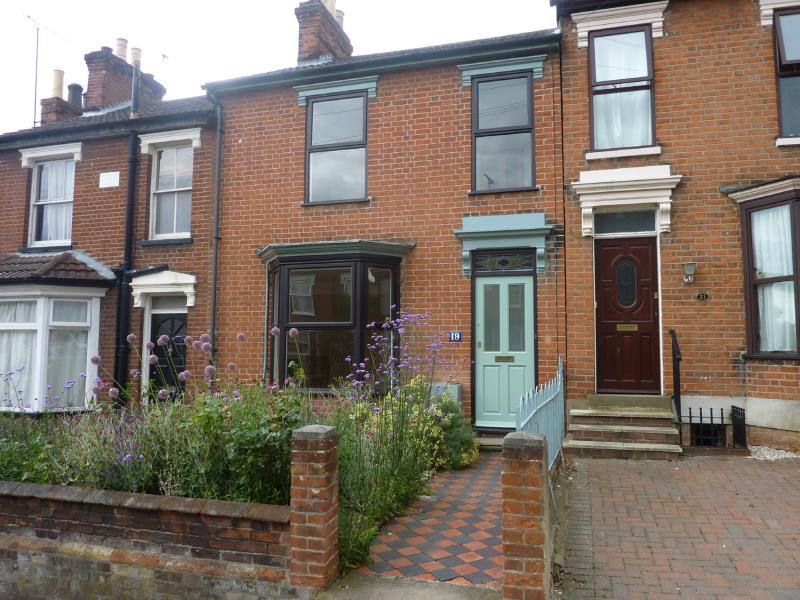
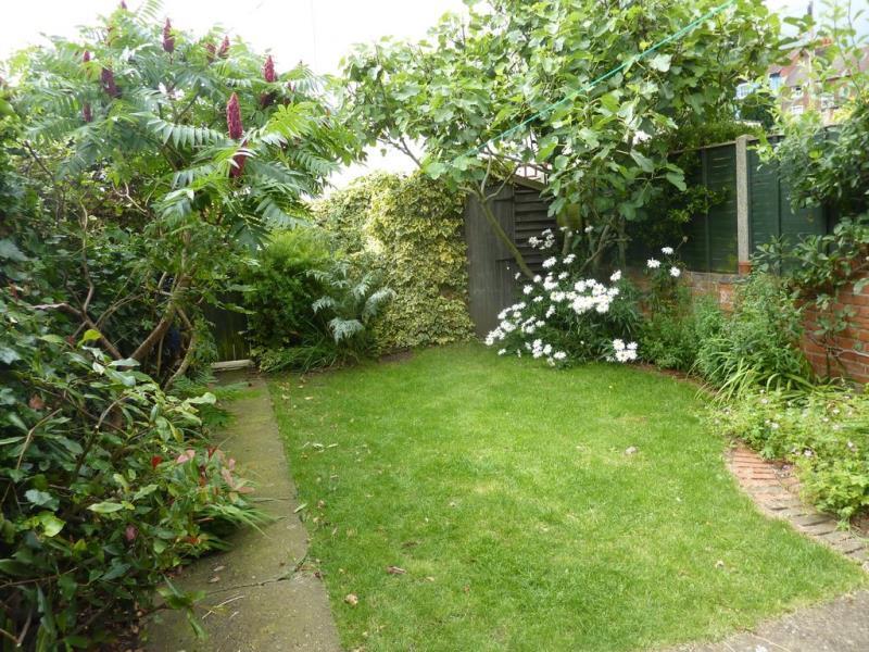
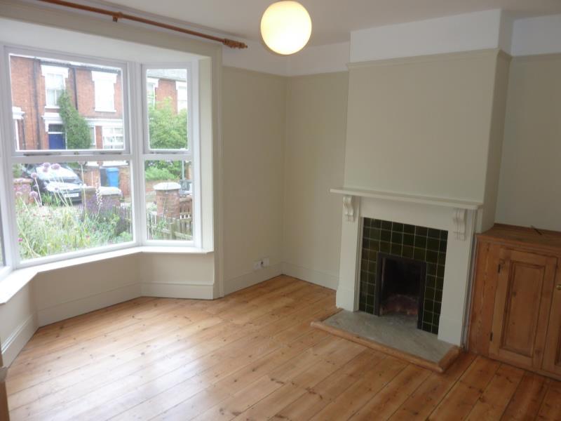
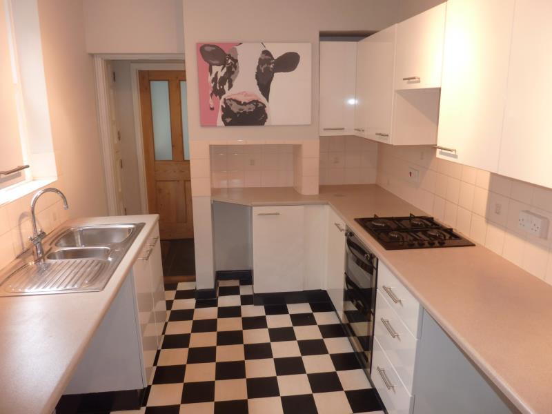
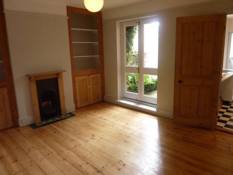
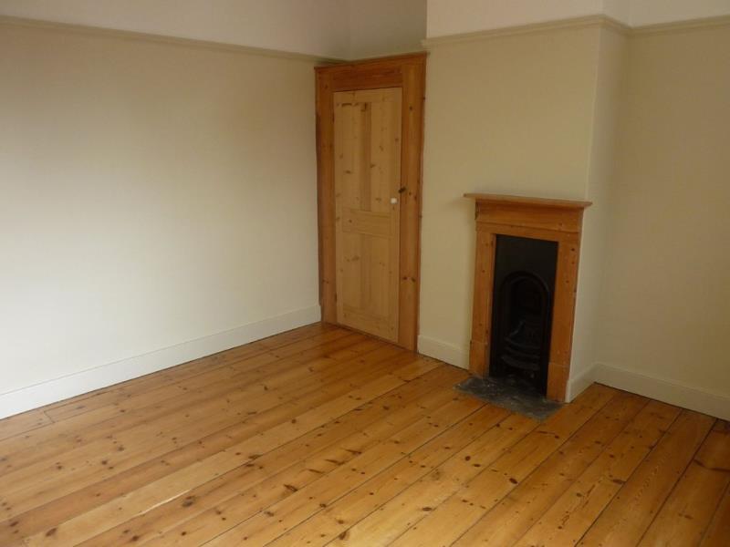
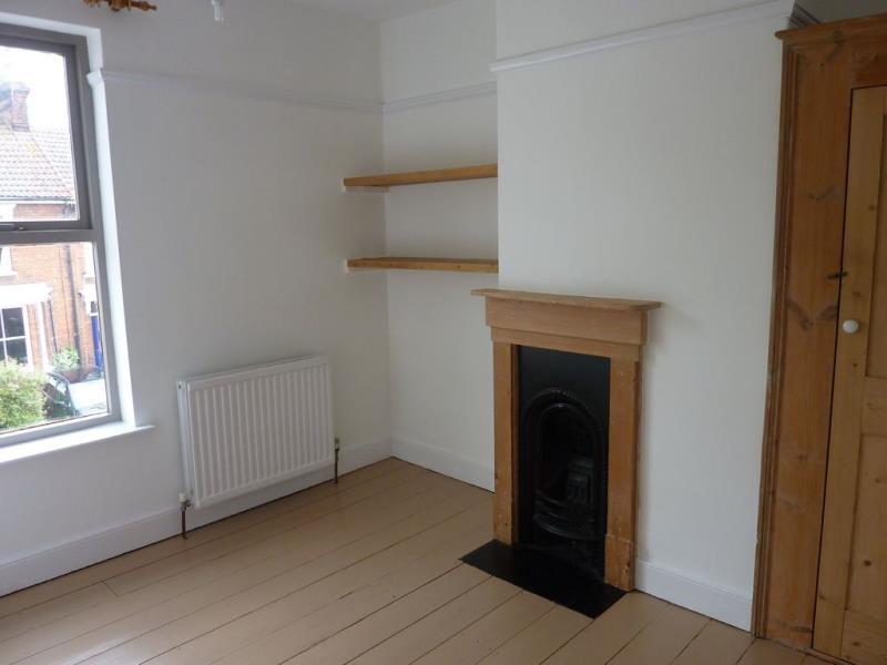
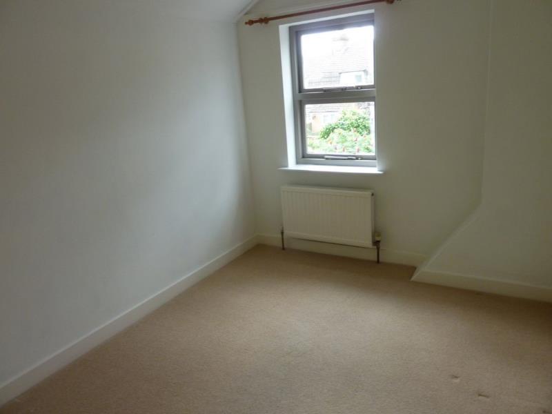
Photo 1 Photo 2 Photo 3 Photo 4 Photo 5 Photo 6 Photo 7 Photo 8 Photo 9 Photo 10 Photo 11
/ 11
Property details
Floor area
120 m²
EPC rating
D
Year built
England and Wales: before 1900
Deprivation
Decile 3 (9,735 of 33,755)
Street crime
512 incidents within 1 mile (Apr 2026)
Key features
- Semi-Detached House
- Four Bedrooms
- Fitted Kitchen
- Front and Rear Garden
- EPC Band D
- Gas Central Heating
Additional details
- Parking
- Yes
- Garden
- Yes
Description
Listed by
Ipswich
Pennington Surveyors Limited
Reference: 77092154
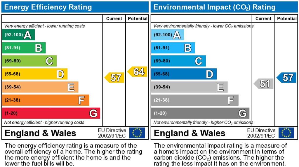
EPC Rating & Upgrade Cost
Current rating: D
Potential rating: C
Inspection date: 19/02/2026
Current heating cost: £1,756/year
Potential heating cost: £1,174/year
Est. upgrade cost to C: £31,200
Recommendations
- 50 mm internal or external wall insulation (£7,500 - £11,000)
- Floor insulation (solid floor) (£5,000 - £10,000)
- Draughtproof single-glazed windows (£150 - £250)
- Replace single glazed windows with low-E double glazing (£4,500 - £6,000)
- Solar photovoltaic panels, 2.5 kWp (£8,000 - £10,000)
Flood risk
Zone: 1
Risk: Low
Job (default Low)
EPC Graphs
EPC Graph

EPC Document
Rental Range
Estimated market rent for Ipswich. Low = conservative, Realistic = average, Optimistic = best case.
Based on Local Authority from postcode lookup → Ipswich.
LHA (30th percentile) floor for Ipswich: £1,097/mo (Apr 2025 – Mar 2026)
Location
Nearby
Nearest stations, universities and amenities (distance from property).
| Type | Name | Distance |
|---|---|---|
| Shop | Swift Used Car Sales | 0.1 miles |
| Bus stop | Lacey Street | 0.1 miles |
| Bus stop | Grove Lane | 0.1 miles |
| Shop | Al Amin Grocery Store | 0.1 miles |
| Train station | Derby Road | 0.8 miles |
| Train station | Ipswich | 1.1 miles |
| Hospital | Ipswich Hospital | 1.3 miles |
| Hospital | Nuffield Hospital Ipswich | 2.7 miles |
| University | University of Suffolk (DigiTech Centre) | 5.0 miles |
Street-level crime
| Category | Count |
|---|---|
| Violence and sexual offences | 180 |
| Shoplifting | 113 |
| Criminal damage and arson | 46 |
| Public order | 39 |
| Other theft | 29 |
| Anti-social behaviour | 26 |
| Drugs | 16 |
| Other crime | 15 |
| Possession of weapons | 10 |
| Vehicle crime | 10 |
| Burglary | 9 |
| Robbery | 8 |
| Theft from the person | 6 |
| Bicycle theft | 5 |
| Total incidents | 512 |
Within 1 mile during Apr 2026. Source: data.police.uk (England & Wales).
Schools nearby
Nearest open schools with Ofsted ratings (England). Closed schools are not shown. Data from Get Information about Schools and Ofsted.
| Name | Type | Distance | Ofsted |
|---|---|---|---|
| St Helen's Primary School | Primary | 0.1 miles | Good — 18 Apr 2012 |
| Learning Support, Southern Area Education Office | Other | 0.2 miles | — (No rating) |
| Suffolk New College | Other | 0.2 miles | — (No rating) |
| Woodbridge Road Academy | Other | 0.3 miles | — (No rating) |
| St Margaret's Church of England Voluntary Aided Primary School, Ipswich | Primary | 0.3 miles | Good — 17 Nov 2014 |
Rental Comparables
Rental listings exist nearby, but none matched the 4-bedroom count for this property.