St7 1St
ST7 1ST
Listing type
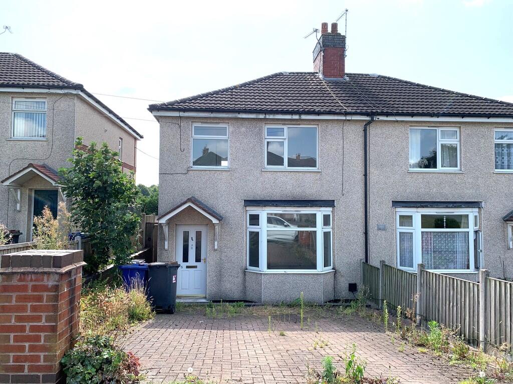
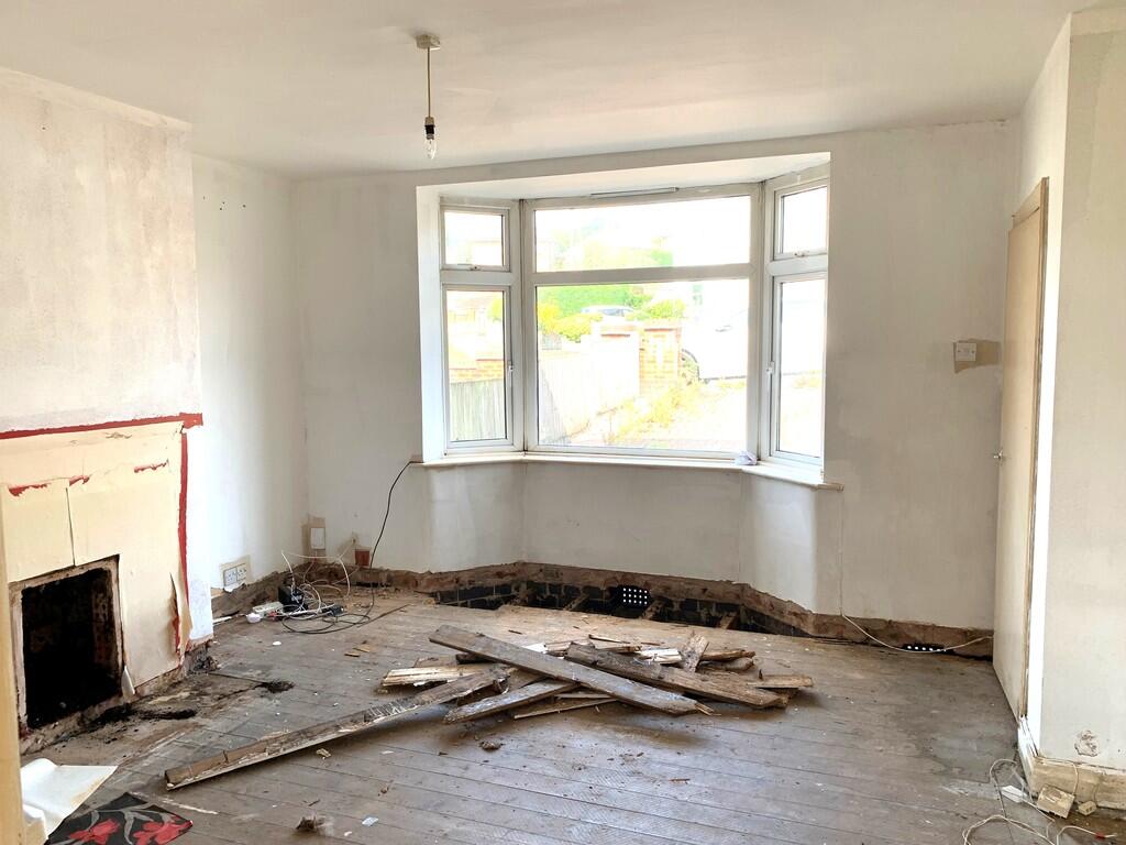
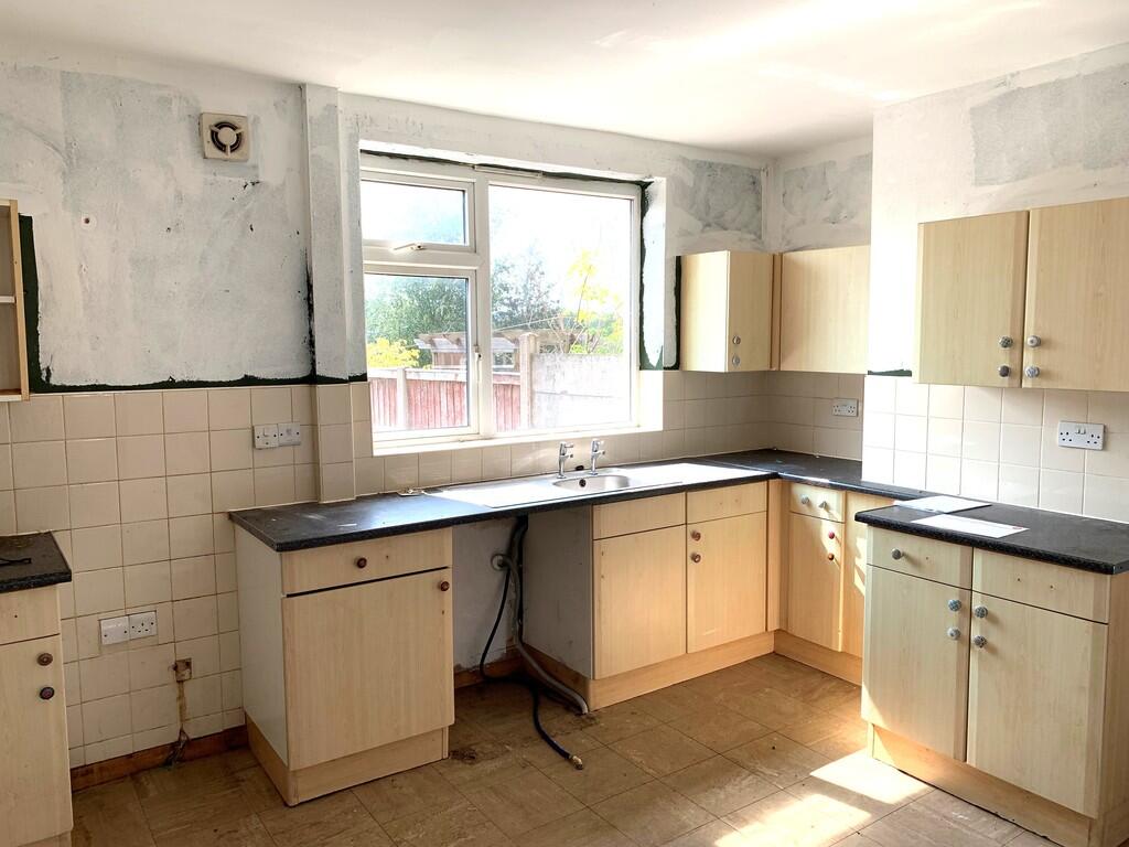
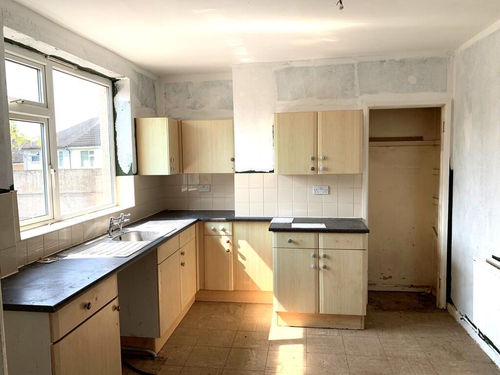
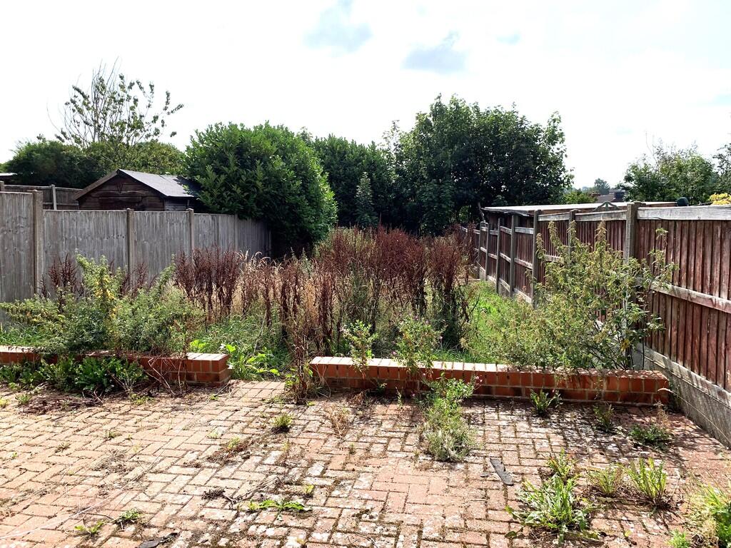
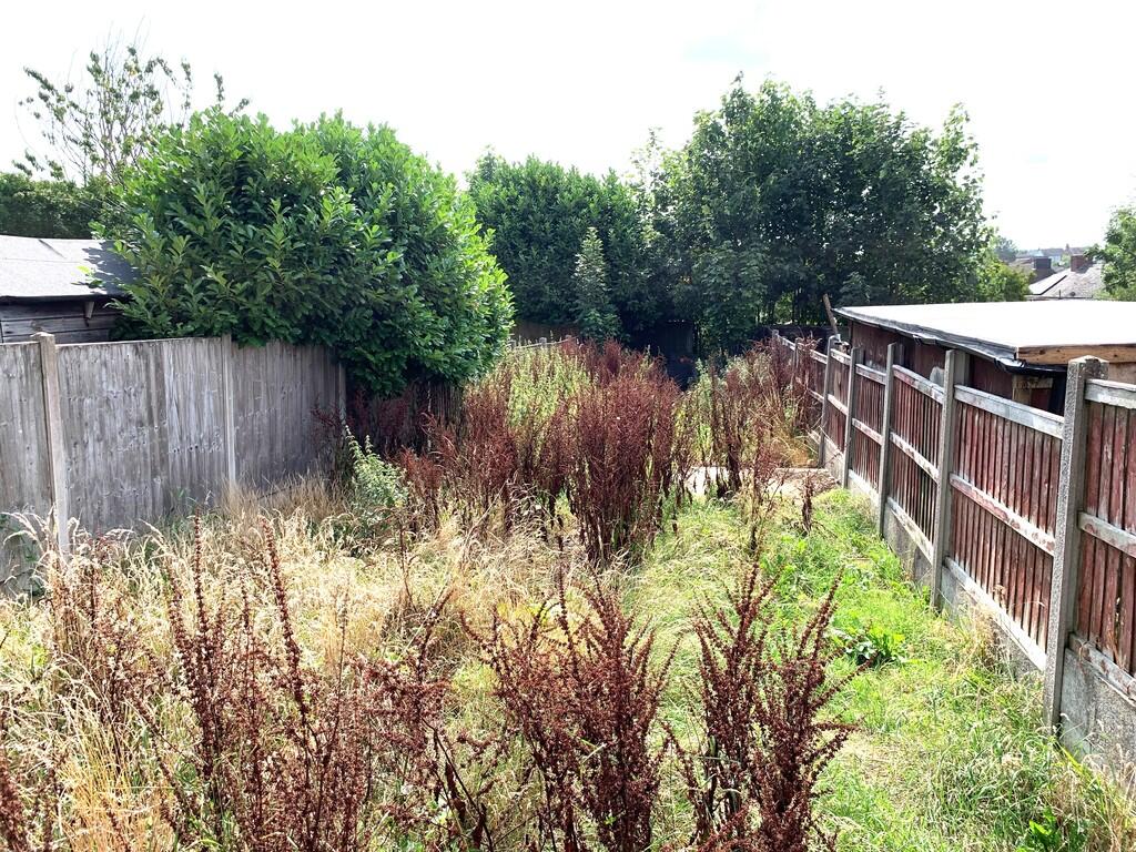
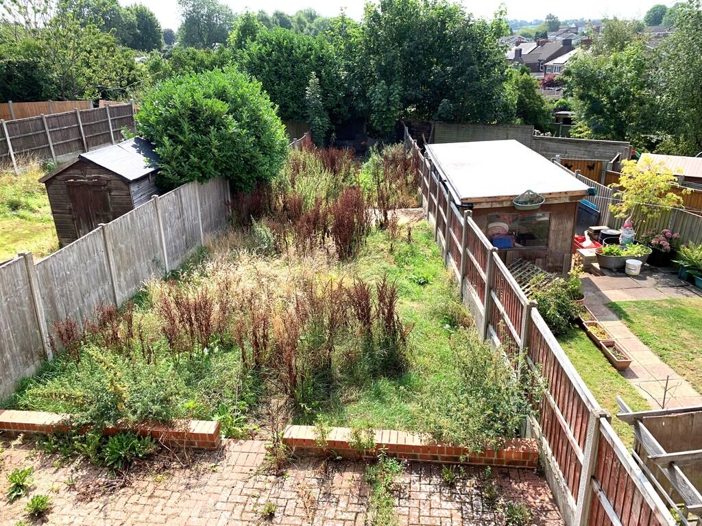
Property details
Listing category
Auction
Tenure
FREEHOLD
Council tax band
A
Deprivation
Decile 3 (6,774 of 33,755)
EPC ratings on this postcode
We don't have a matched EPC for this property yet. Below are efficiency scores and details for other addresses on this postcode.
| Address | Current | Potential | Floor area | Age band | Type |
|---|---|---|---|---|---|
| 10 Ashenough Road, Talke Pits, STOKE-ON-TRENT | 69 | 86 | 78 m² | England and Wales: 1930-1949 | Detached |
| 14, Ashenough Road, Talke Pits, STOKE-ON-TRENT | 69 | 81 | 126 m² | England and Wales: 1930-1949 | Detached |
| 14, Ashenough Road, Talke Pits, STOKE-ON-TRENT | 67 | 84 | 59 m² | England and Wales: 1930-1949 | Detached |
| 16, Ashenough Road, Talke Pits, STOKE-ON-TRENT | 67 | 86 | 78 m² | England and Wales: 1930-1949 | Detached |
| 18 Ashenough Road, Talke Pits, STOKE-ON-TRENT | 60 | 86 | 86 m² | England and Wales: 1950-1966 | Detached |
| 2, Ashenough Road, Talke Pits, STOKE-ON-TRENT | 72 | 83 | 144 m² | England and Wales: 1967-1975 | Detached |
| 2, Ashenough Road, Talke Pits, STOKE-ON-TRENT | 66 | 83 | 60 m² | England and Wales: 1930-1949 | Detached |
| 20 Ashenough Road, Talke Pits, STOKE-ON-TRENT | 74 | 88 | 78 m² | England and Wales: 1900-1929 | Detached |
| 3, Ashenough Road, Talke Pits, STOKE-ON-TRENT | 68 | 83 | 77 m² | England and Wales: 1930-1949 | Detached |
| 6 Ashenough Road, Talke Pits, STOKE-ON-TRENT | 70 | 77 | 80 m² | England and Wales: 1950-1966 | Detached |
| 6, Ashenough Road, Talke Pits, STOKE-ON-TRENT | 68 | 85 | 78 m² | England and Wales: 1930-1949 | Detached |
Flood risk
Zone: 1
Risk: Low
Not in Flood Risk Area (no data)
Price history
No sales history found for this property in Land Registry Price Paid data.
Sold Comparables
Same street and nearby sales within 0.25 miles (last 5 years). Data from Land Registry Price Paid.
| Address | Price | Date | Type |
|---|---|---|---|
| 18 ASHENOUGH ROAD, TALKE PITS, STOKE-ON-TRENT, NEWCASTLE-UNDER-LYME, STAFFORDSHIRE, ST7 1ST | £142,500 | 29/08/2025 | Semi-detached |
Area average: £142,500 (1 sale)
Capital growth trend
Land Registry outcode average: last 12 months vs 5y and 10y ago (from sold prices).
House Price Index (HM Land Registry — official index, not sold-price averages): Newcastle-under-Lyme. Series: All dwelling types. As of March 2026.
Rental Range
Estimated market rent for Newcastle-under-Lyme. Low = conservative, Realistic = average, Optimistic = best case.
Based on Local Authority from postcode lookup → Newcastle-under-Lyme.
LHA (30th percentile) floor for South Cheshire: £678/mo (Apr 2025 – Mar 2026)
Location
Nearby
Nearest stations, universities and amenities (distance from property).
| Type | Name | Distance |
|---|---|---|
| Bus stop | Crown Bank | 0.1 miles |
| Bus stop | Hurst Close | 0.1 miles |
| Shop | Cameo | 0.1 miles |
| Shop | Morrisons Daily | 0.2 miles |
| Train station | Kidsgrove | 1.2 miles |
| Train station | Alsager | 2.2 miles |
| Hospital | Bradwell Hospital | 2.5 miles |
| Hospital | Haywood Hospital | 3.0 miles |
| University | Keele University | 4.9 miles |
| University | University of Staffordshire Stoke Campus | 5.4 miles |
Street-level crime
Crime data is not yet available for this property.
Rental Comparables
Residential lets from OpenRent and Rightmove for the area (same bedroom count). Use to validate rent estimates. Student lets are excluded.
| Title | Rent | Beds | As seen on |
|---|---|---|---|
| Coalfield Close, Bignall End, Staffordsire | £1,200/mo | 3 | Rightmove |
| High Street, Alsagers Bank, Stoke On Trent, Staffordshire, ST7 | £795/mo | 3 | Rightmove |
| Boon Hill, Bignall End | £1,325/mo | 3 | Rightmove |
| Lincoln Road, STOKE-ON-TRENT | £850/mo | 3 | Rightmove |
| High Street, Halmer End, Stoke-on-Trent, ST7 | £895/mo | 3 | Rightmove |
| Boden Hall Cottages, Rode Heath, ST7 | £2,250/mo | 3 | Rightmove |
| Birch Tree Lane, Scholar Green, ST7 3LJ | £1,250/mo | 3 | Rightmove |
Average rent: £1,224/mo (7 listings)
Enter House Number
Enter the house number to help us retrieve more accurate pricing history and property data.
Please log in to submit or correct the house number for this listing.
Log in to continue