FLAT 6
70 - 72, CREDITON HILL, LONDON, GREATER LONDON NW6 1HR
£2,383 pcm
Property details
Floor area
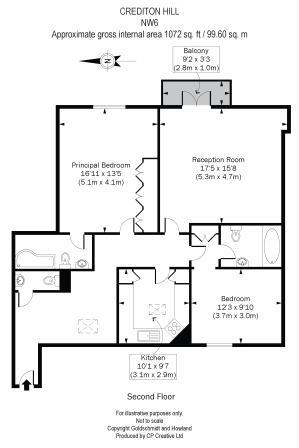
59 m²
EPC rating
C
Year built
England and Wales: 1930-1949
Deprivation
Decile 8 (23,678 of 33,755)
Street crime
1013 incidents within 1 mile (Apr 2026)
Additional details
- Parking
- Yes
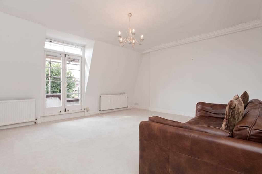
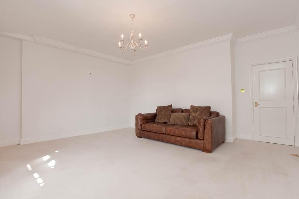
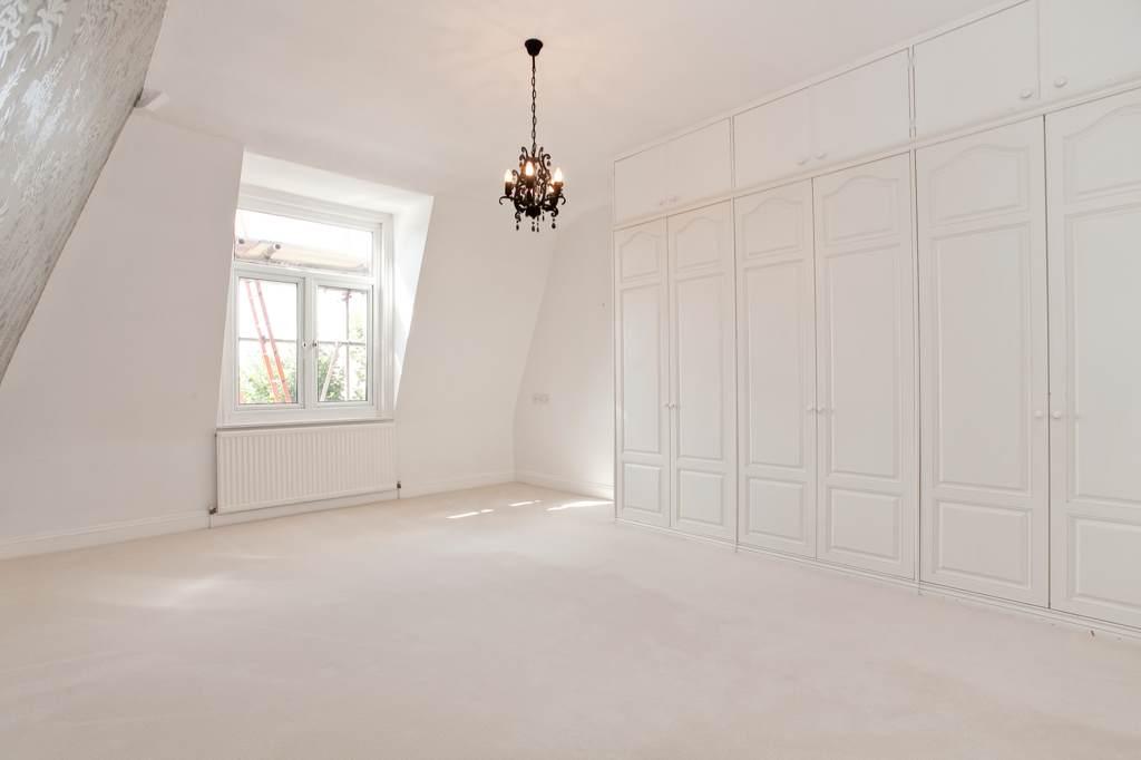
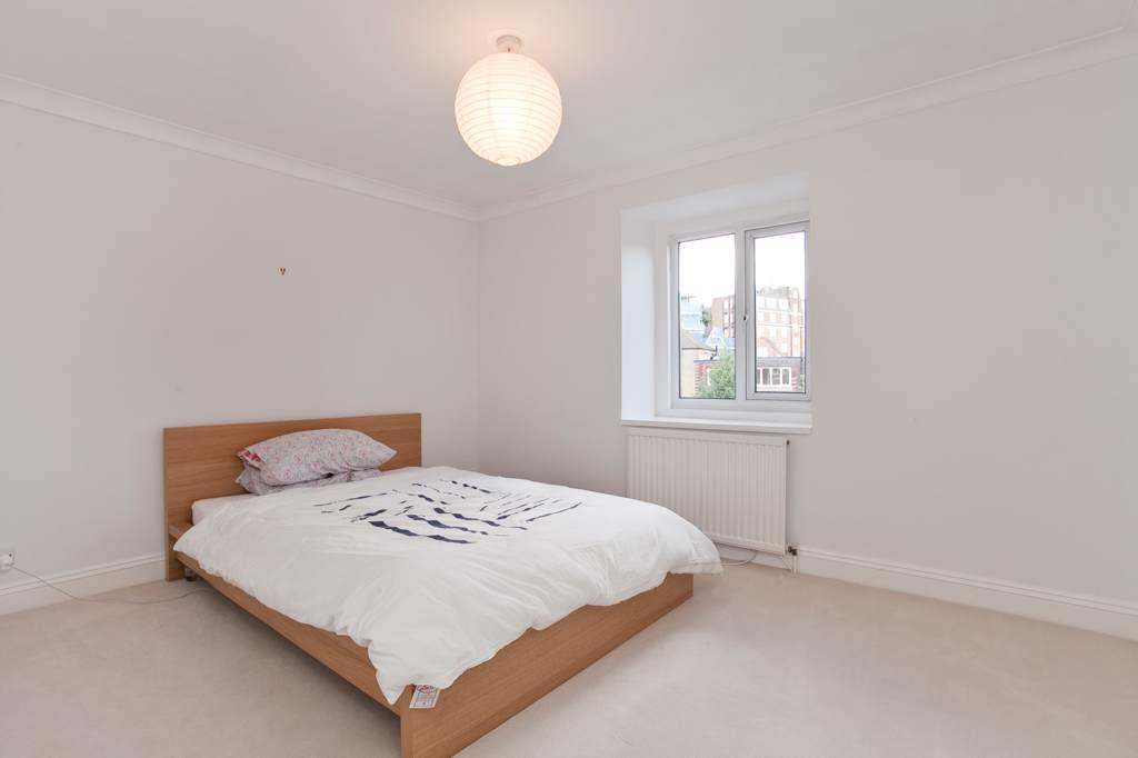
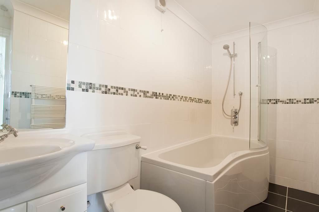
Description
* Reception Room * Kitchen * Two Double Bedrooms * 2 En Suite Bathrooms * Guest WC * Permit Parking *
Listed by
West Hampstead
Goldschmidt & Howland
Reference: 35567356
EPC Rating & Upgrade Cost
Current rating: C
Potential rating: B
Inspection date: 06/06/2025
Expiry date: 05/06/2035
Current heating cost: £431/year
Potential heating cost: £257/year
Est. upgrade cost to C: £9,120
Recommendations
- 50 mm internal or external wall insulation (£4,000 - £14,000)
- Low energy lighting for all fixed outlets (£120)
Flood risk
Zone: 1
Risk: Low
Job (default Low)
Rental Range
Estimated market rent for Camden. Low = conservative, Realistic = average, Optimistic = best case.
Based on Local Authority from postcode lookup → Camden.
LHA (30th percentile) floor for Inner North London: £1,789/mo (Apr 2025 – Mar 2026)
Location
Nearby
Nearest stations, universities and amenities (distance from property).
| Type | Name | Distance |
|---|---|---|
| Bus stop | Alvanley Gardens | 0.1 miles |
| Bus stop | West End Lane | 0.1 miles |
| Shop | All Aboard | 0.1 miles |
| Shop | GAIL's | 0.1 miles |
| Train station | West Hampstead Thameslink | 0.3 miles |
| Train station | Finchley Road & Frognal | 0.3 miles |
| University | The Royal Central School of Speech and Drama | 0.8 miles |
| University | Central Belsize Square | 0.9 miles |
| Hospital | Royal Free Hospital | 1.0 miles |
| Hospital | Hospital of St John and St Elizabeth | 1.4 miles |
Street-level crime
| Category | Count |
|---|---|
| Anti-social behaviour | 224 |
| Violence and sexual offences | 210 |
| Shoplifting | 88 |
| Theft from the person | 85 |
| Other theft | 84 |
| Vehicle crime | 65 |
| Public order | 63 |
| Burglary | 53 |
| Criminal damage and arson | 53 |
| Drugs | 41 |
| Robbery | 24 |
| Bicycle theft | 8 |
| Other crime | 8 |
| Possession of weapons | 7 |
| Total incidents | 1013 |
Within 1 mile during Apr 2026. Source: data.police.uk (England & Wales).
Schools nearby
Nearest open schools with Ofsted ratings (England). Closed schools are not shown. Data from Get Information about Schools and Ofsted.
| Name | Type | Distance | Ofsted |
|---|---|---|---|
| Emmanuel Church of England Primary School | Primary | 0.2 miles | Good — 11 Feb 2019 |
| University College School | Other | 0.4 miles | — (No rating) |
| St Margaret's School | Other | 0.4 miles | — (No rating) |
| Southbank International School Hampstead | Other | 0.5 miles | — (No rating) |
| West Hampstead Primary School | Primary | 0.5 miles | Good — 10 Sep 2012 |
Rental Comparables
Residential lets from OpenRent and Rightmove for the area (same bedroom count). Use to validate rent estimates. Student lets are excluded.
| Title | Rent | Beds | Distance | As seen on |
|---|---|---|---|---|
| 2 Bed Flat, Pulse Apartments, NW6 | £3,500/mo | 2 | 0.22 miles | OpenRent |
Average rent: £3,500/mo (1 listing)