FLAT 107
THE COLONNADES, 34, PORCHESTER SQUARE, LONDON, LONDON, GREATER LONDON W2 6AP
£4,333 pcm
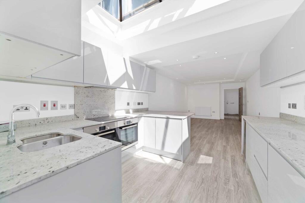
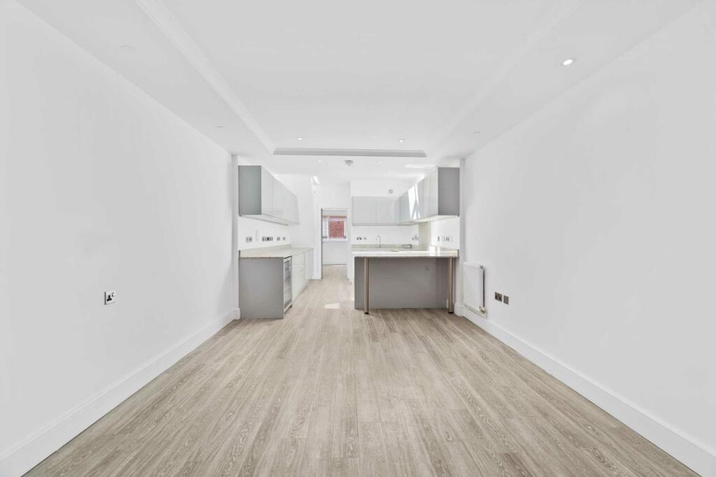
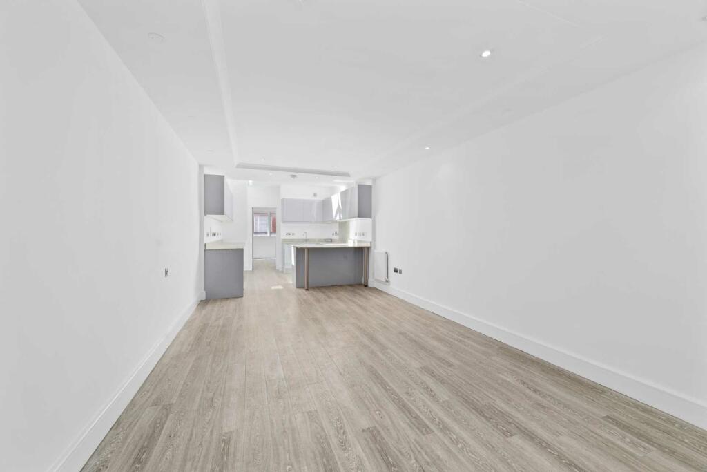
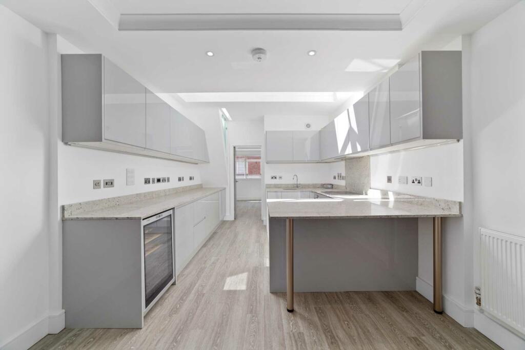
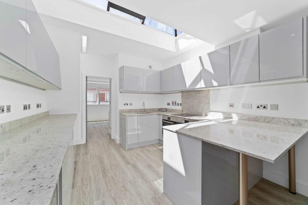
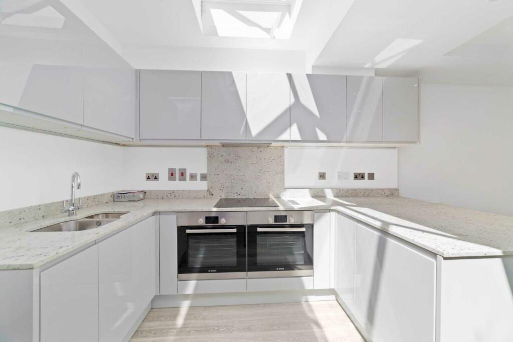
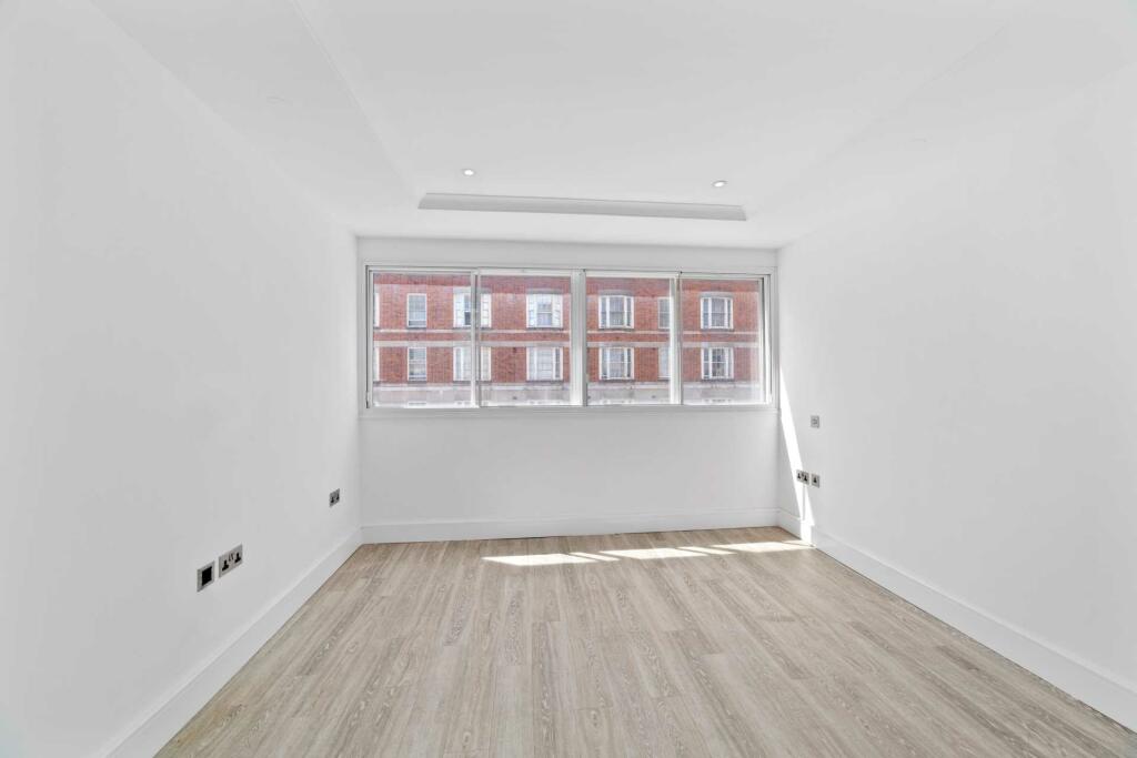
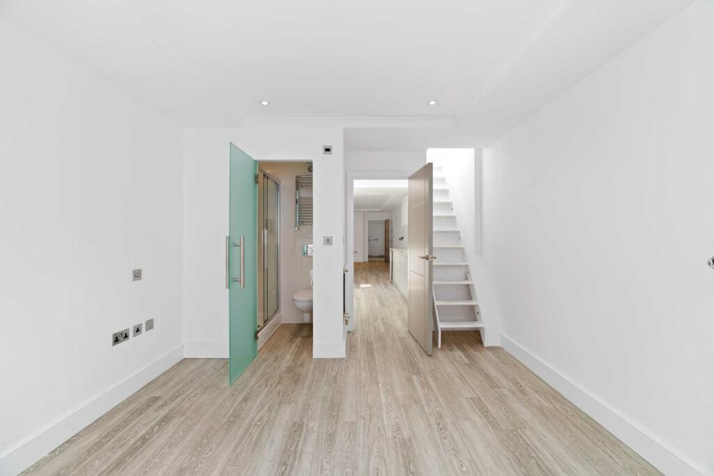
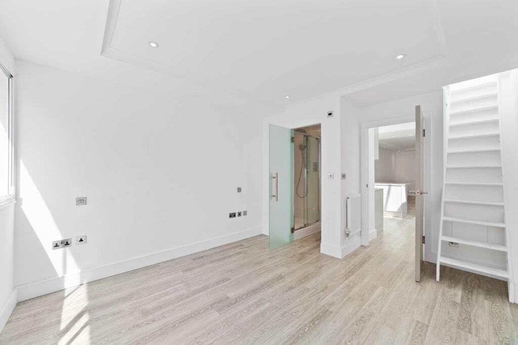
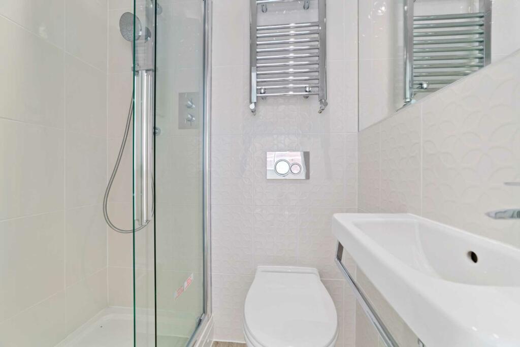
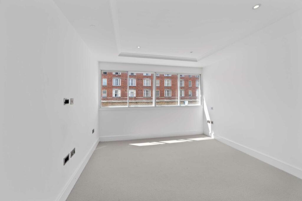
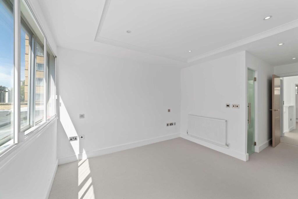
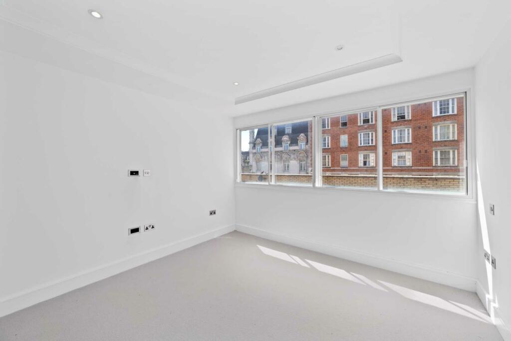
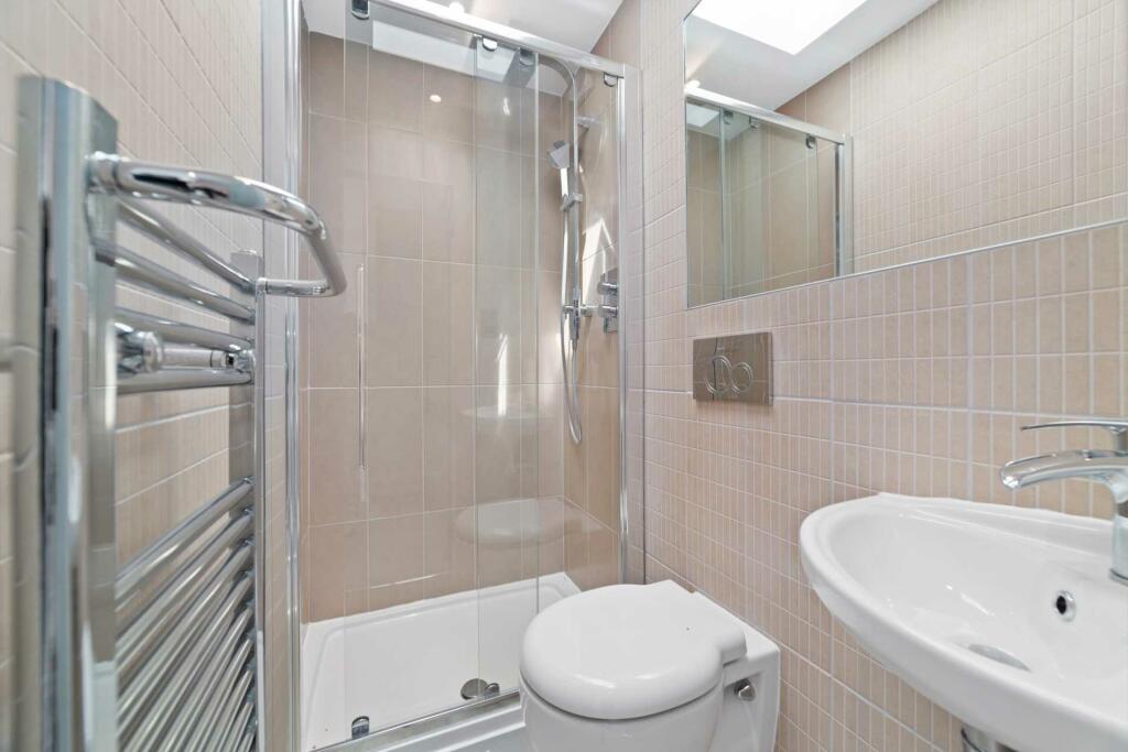
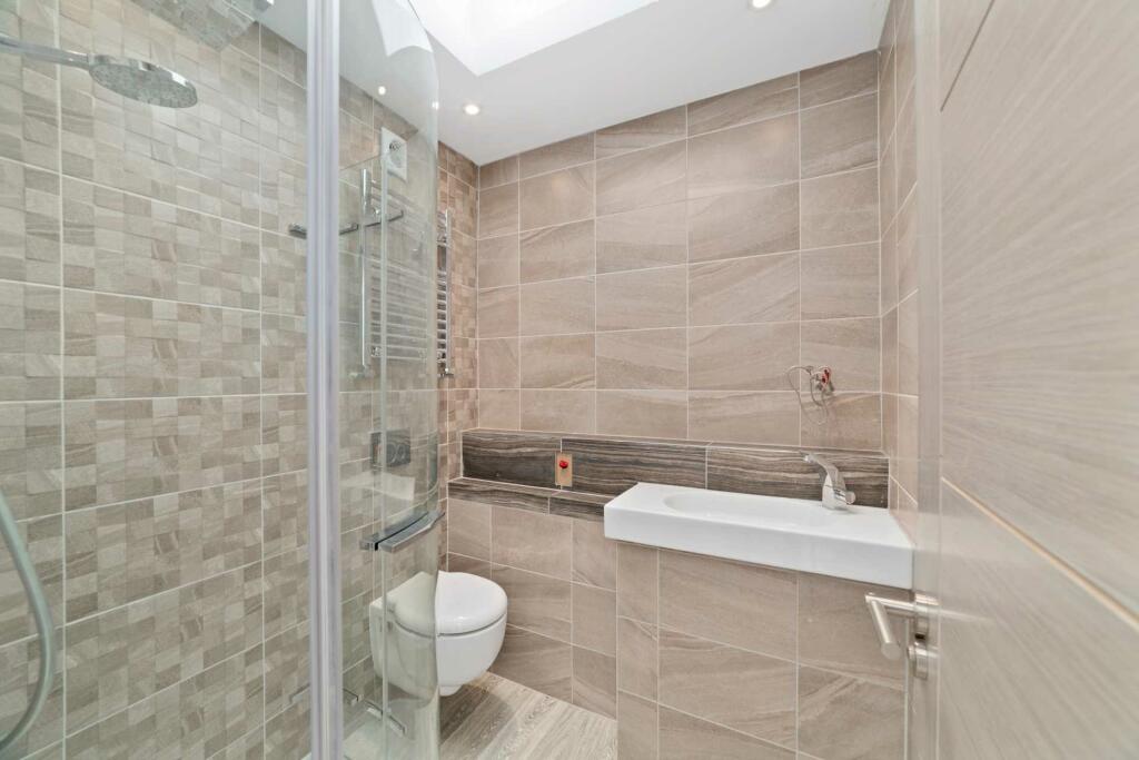
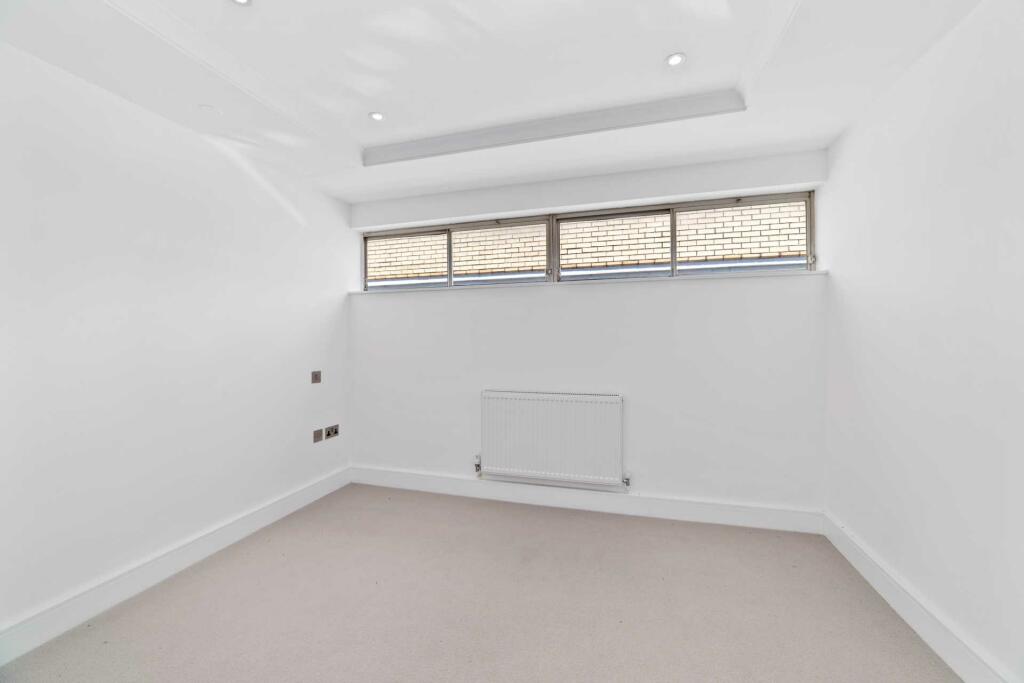
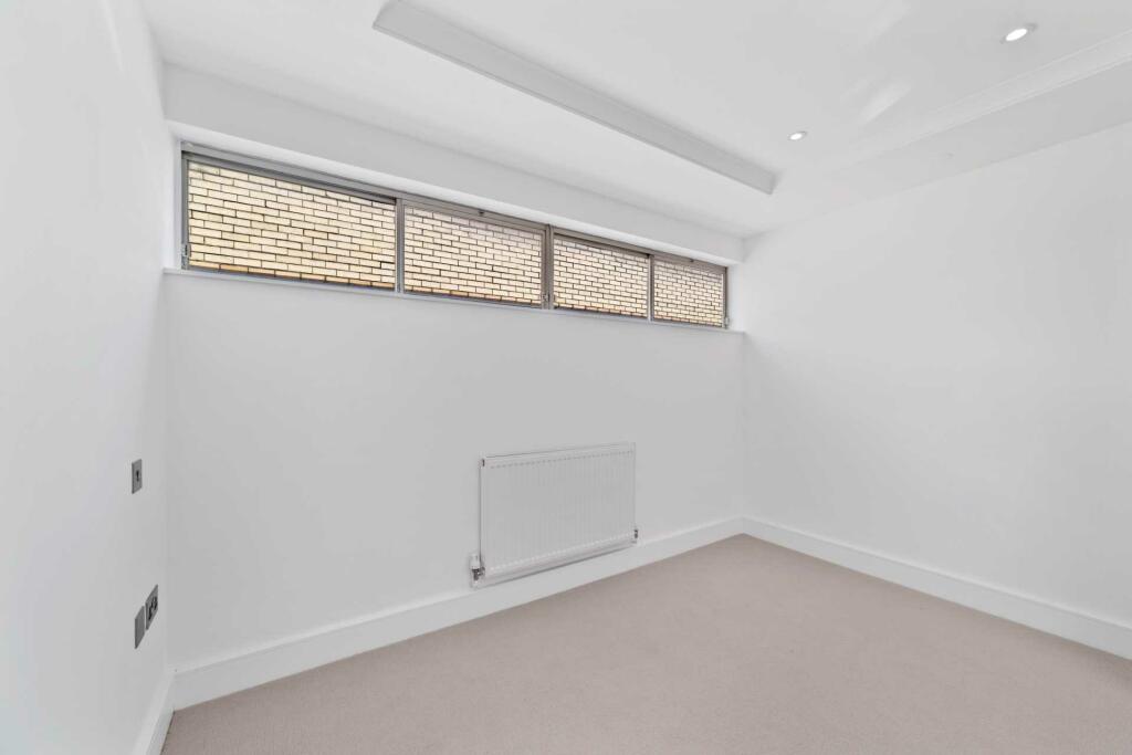
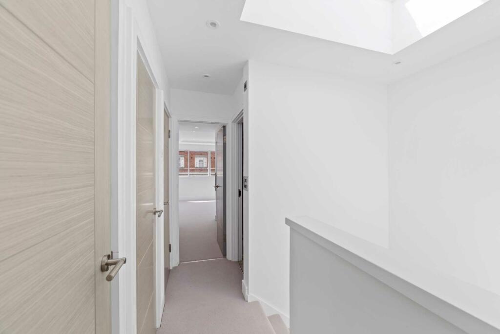
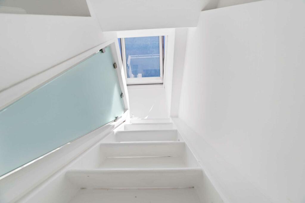
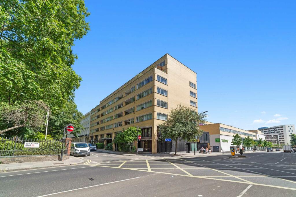
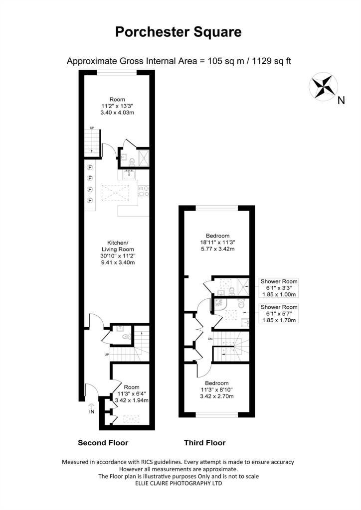
Photo 1 Photo 2 Photo 3 Photo 4 Photo 5 Photo 6 Photo 7 Photo 8 Photo 9 Photo 10 Photo 11 Photo 12 Photo 13 Photo 14 Photo 15 Photo 16 Photo 17 Photo 18 Photo 19 Photo 20 Photo 21
/ 21
Property details
Floor area
101 m²
Council tax band
F
Deprivation
Decile 5 (15,289 of 33,755)
Street crime
1681 incidents within 1 mile (Apr 2026)
Description
EPC Rating: C
Council Tax Band: F
Notice
Important Notice: We have prepared these property particulars as a general guide to a broad description of the property. All photographs, floorplans, measurements and distances referred to are given as a guide only.
Redress scheme provided by: NALS (A4127)
Client Money Protection provided by: SAFEAGENT (A4127)
Listed by
London
E J Harris
Reference: 151939361
EPC Rating & Upgrade Cost
Fetching EPC data… Refresh this page in a moment.
Flood risk
Zone: 1
Risk: Low
Job (default Low)
Floorplans
Floorplan 1
EPC Graphs
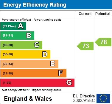
EPC 1
Rental Range
Estimated market rent for Westminster. Low = conservative, Realistic = average, Optimistic = best case.
Based on Local Authority from postcode lookup → Westminster.
LHA (30th percentile) floor for Central London: £2,154/mo (Apr 2025 – Mar 2026)
Location
Address
38 Porchester Road
Nearby
Nearest stations, universities and amenities (distance from property).
| Type | Name | Distance |
|---|---|---|
| Shop | Graham & Green | 0.0 miles |
| Shop | Nails Design | 0.0 miles |
| Bus stop | Porchester Road / Royal Oak | 0.0 miles |
| Bus stop | Porchester Terrace North | 0.0 miles |
| Train station | Royal Oak | 0.2 miles |
| Train station | Bayswater | 0.3 miles |
| University | Kennet West Skills Centre | 0.9 miles |
| University | LBS Behaviour Lab | 1.3 miles |
| Hospital | The Portland Hospital | 1.9 miles |
| Hospital | Sleep & Health Clinic | 2.1 miles |
Street-level crime
| Category | Count |
|---|---|
| Anti-social behaviour | 419 |
| Violence and sexual offences | 331 |
| Shoplifting | 183 |
| Other theft | 154 |
| Theft from the person | 117 |
| Burglary | 92 |
| Public order | 89 |
| Drugs | 75 |
| Vehicle crime | 69 |
| Criminal damage and arson | 63 |
| Bicycle theft | 35 |
| Robbery | 33 |
| Possession of weapons | 14 |
| Other crime | 7 |
| Total incidents | 1681 |
Within 1 mile during Apr 2026. Source: data.police.uk (England & Wales).
Schools nearby
Nearest open schools with Ofsted ratings (England). Closed schools are not shown. Data from Get Information about Schools and Ofsted.
| Name | Type | Distance | Ofsted |
|---|---|---|---|
| Hallfield Primary School | Primary | 0.2 miles | Good — 18 Nov 2013 |
| College Park School | Other | 0.2 miles | Good — 23 Oct 2013 |
| Edward Wilson Primary School | Primary | 0.3 miles | Good — 20 Jun 2023 |
| Westminster Academy | Secondary | 0.4 miles | Good — 12 Nov 2023 |
| Our Lady of Dolours Catholic Primary | Primary | 0.4 miles | Good — 29 Jun 2023 |
Rental Comparables
Rental listings exist nearby, but none matched the 3-bedroom count for this property.