102 BEECHWOOD DRIVE
CAMELFORD, CORNWALL PL32 9NB
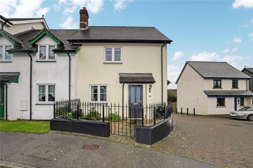
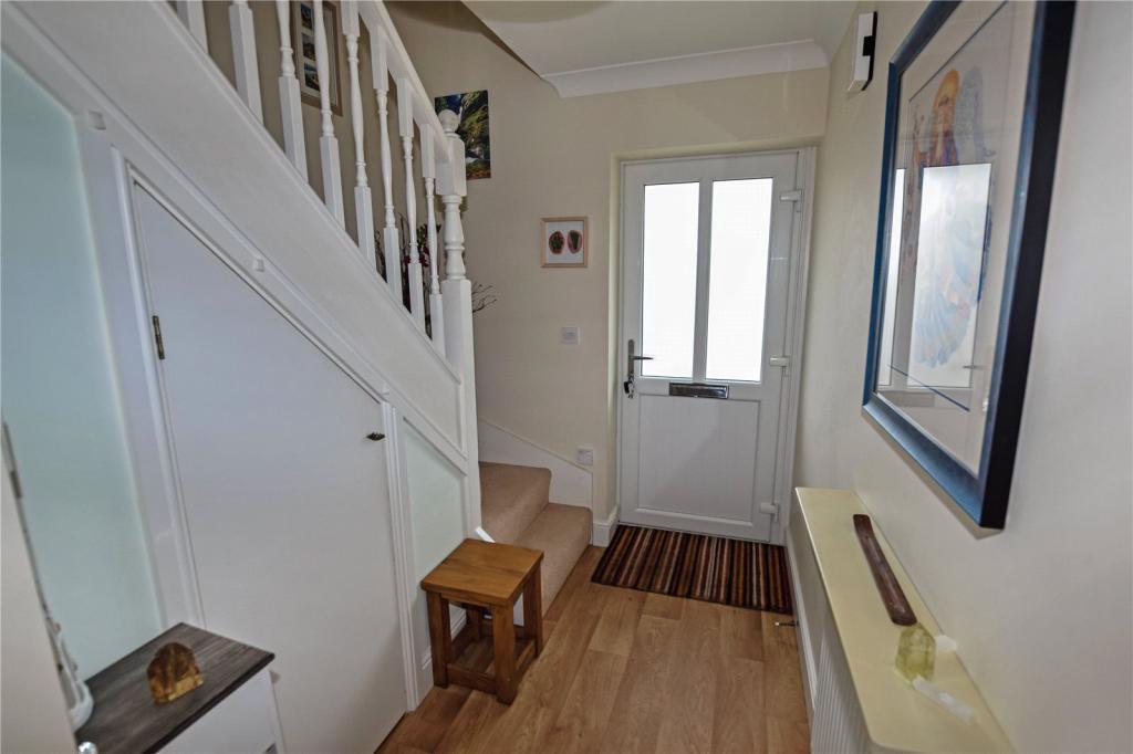
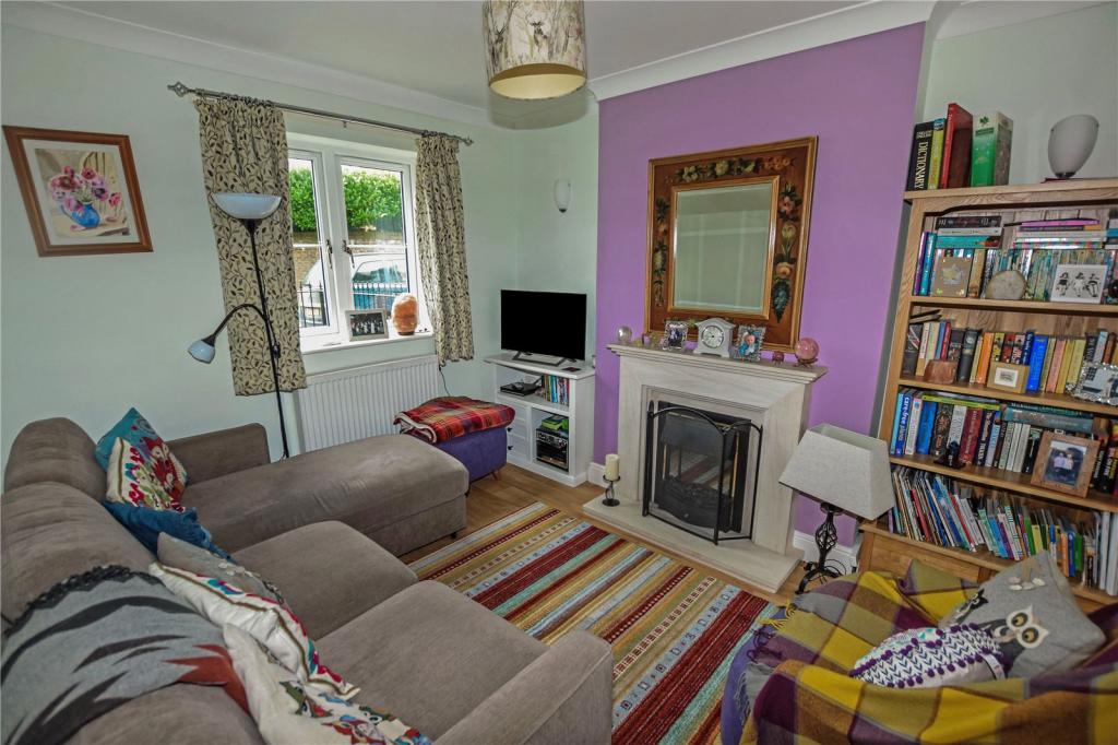
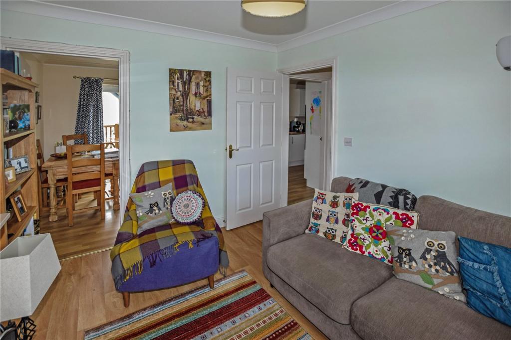
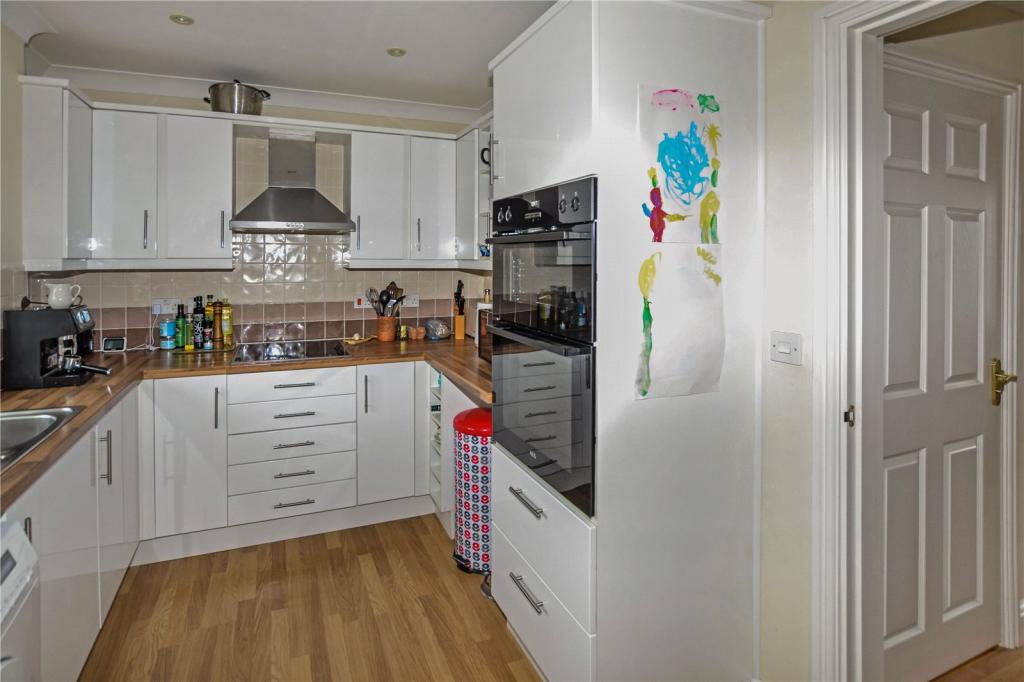
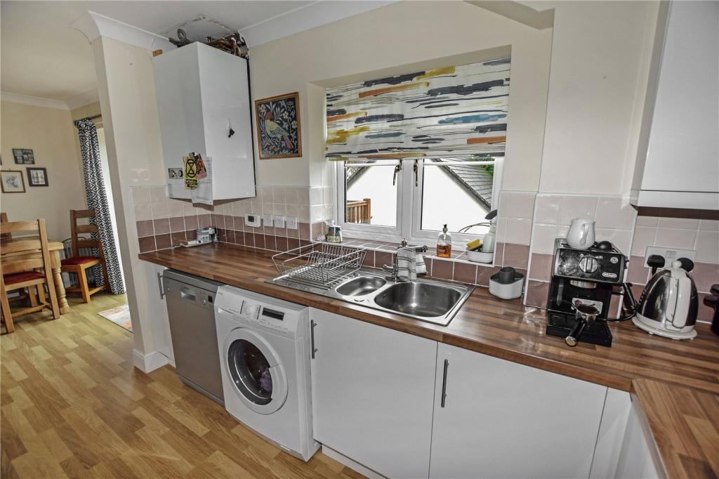
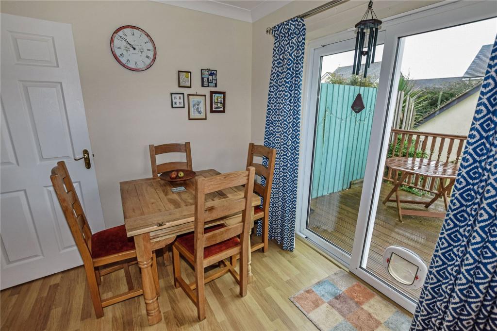
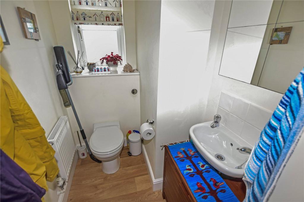
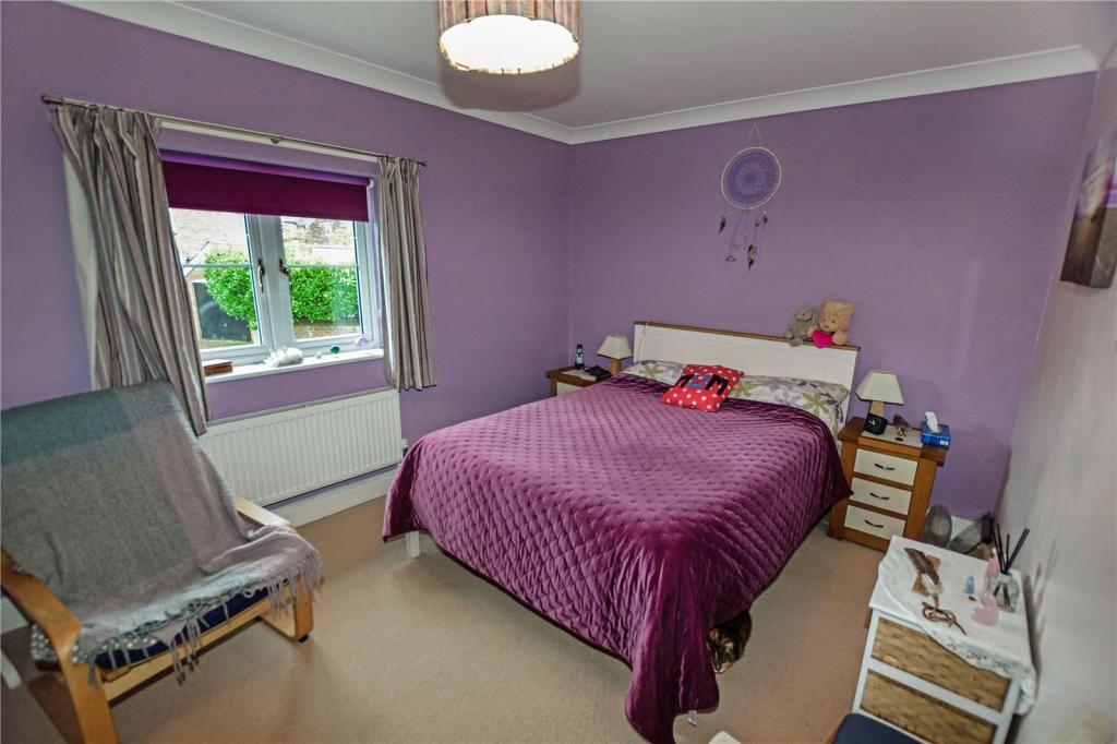
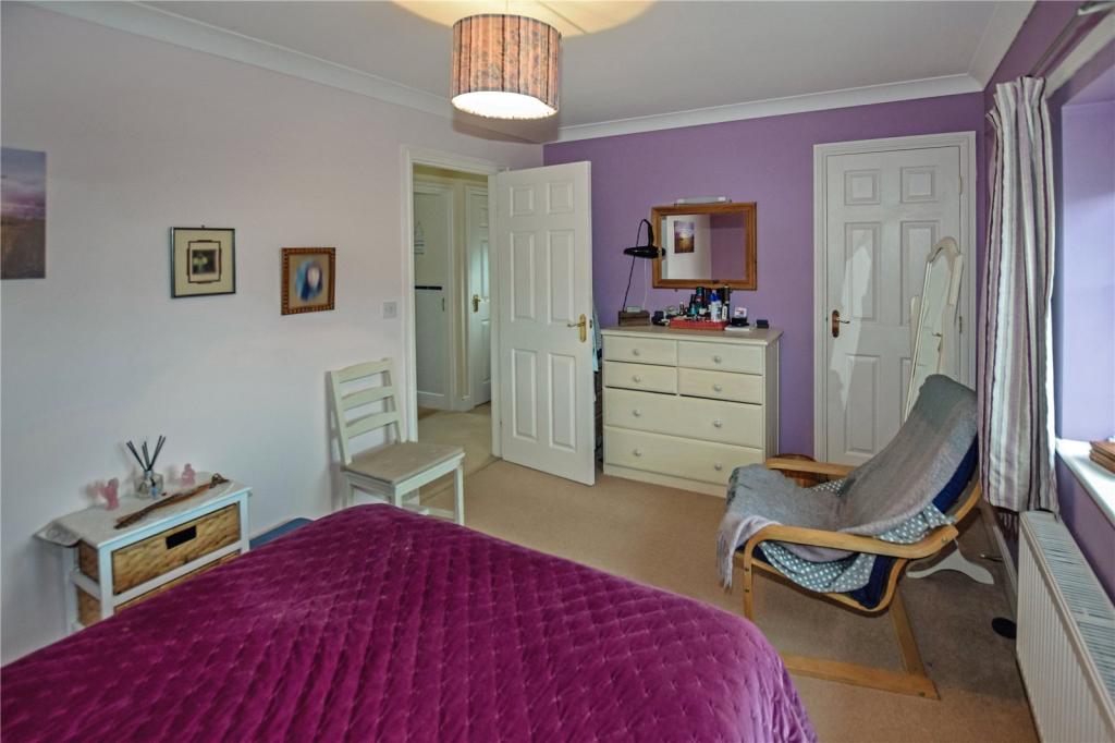
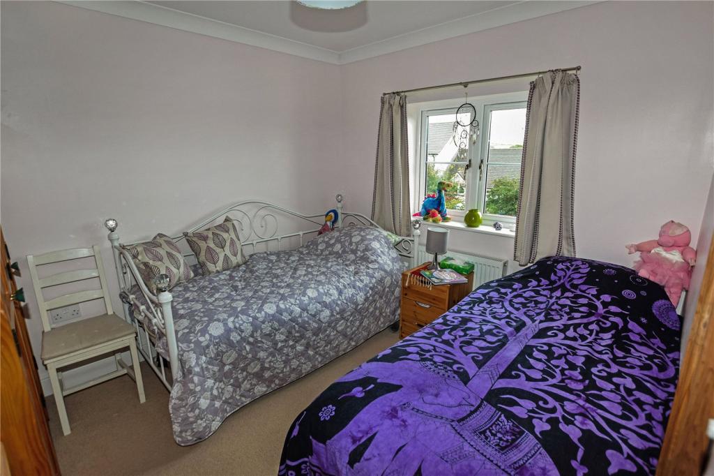
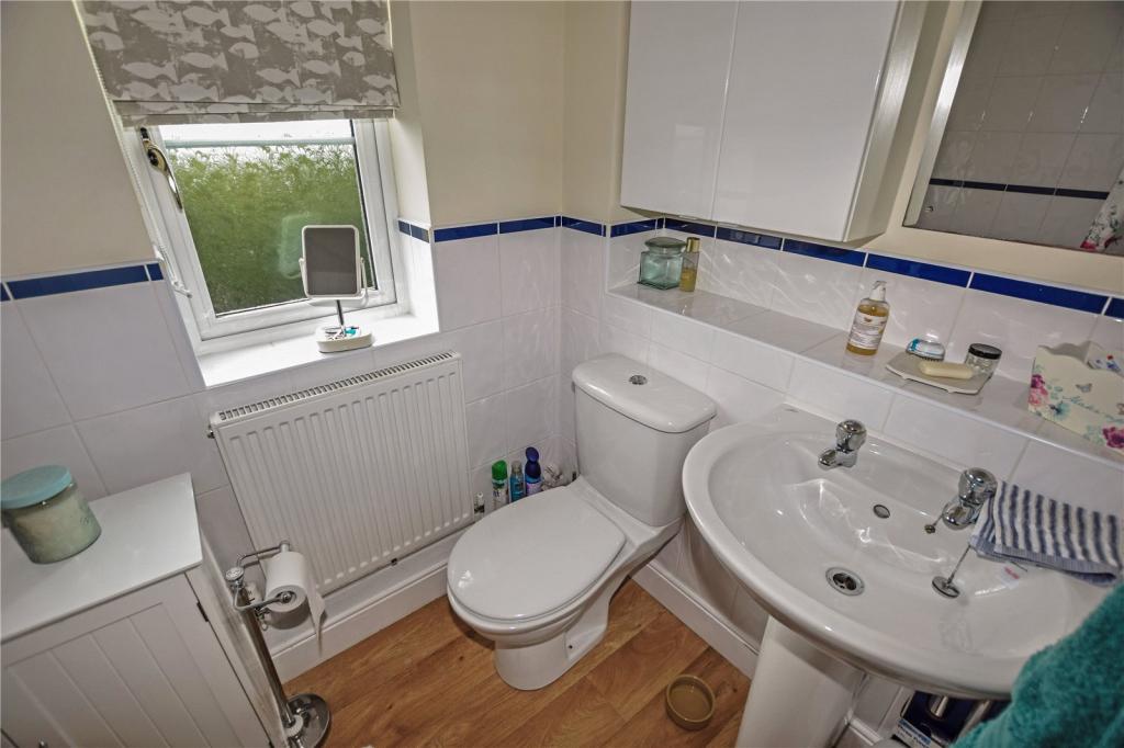
Property details
Floor area
76 m²
EPC rating
D
Last sold
£163,500 Jul 2020
Price per m²
£2,171/m²
Local average
£166,250 (-0.8%)
Deprivation
Decile 4 (12,218 of 33,755)
Street crime
7 incidents within 1 mile (May 2026)
Key features
- 2 BEDROOMS
- SEMI DETACHED
- GARAGE
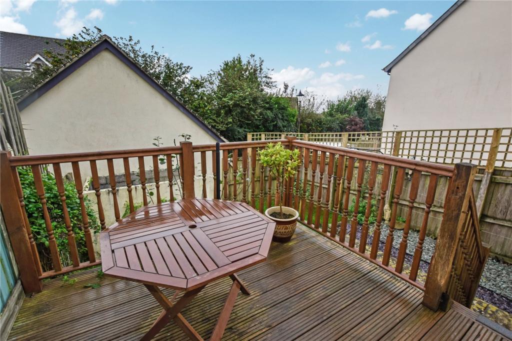
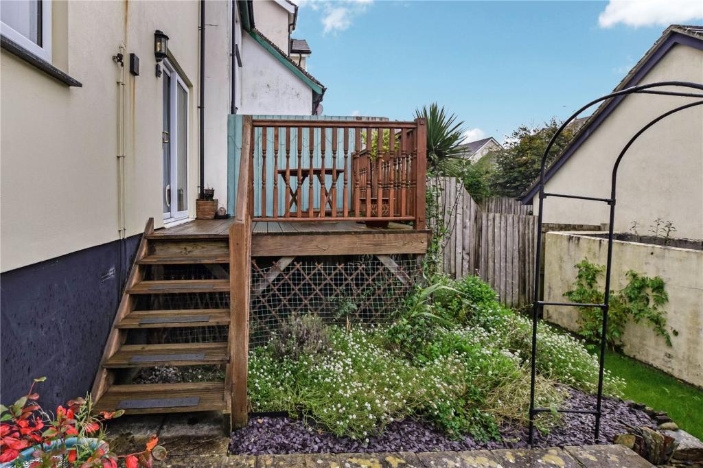
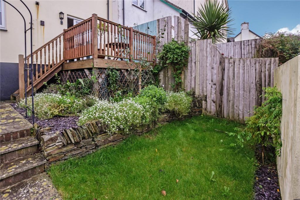
- FRONT & BACK GARDEN
- OIL CENTRAL HEATING
- PARKING
- CONVENIENT LOCATION
Additional details
- Parking
- Yes
- Garden
- Yes
Description
Directions
From our Wadebridge Office head north on the A39 towards Camelford. Passing through the high road of Camelford continue outbound towards Bude, last before leaving the town, take the turning to your left into Oakwood Rise and then Left into Beechwood Drive - Follow the road through until you come to number 102 on your right hand side in the corner.
Listed by
Wadebridge
Bond Oxborough Phillips
Reference: 74793187
EPC Rating & Upgrade Cost
Current rating: D
Potential rating: D
Inspection date: 22/08/2011
Expiry date: 21/08/2021 (expired)
Current heating cost: £403/year
Potential heating cost: £407/year
Recommendations
- Low energy lighting for all fixed outlets (?10)
- Solar water heating (?4,000 - ?6,000)
- Solar photovoltaic panels, 2.5 kWp (?11,000 - ?20,000)
Flood risk
Zone: 1
Risk: Low
Job (default Low)
Floorplans
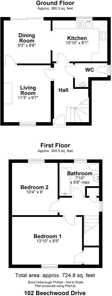
Floorplan
EPC Graphs
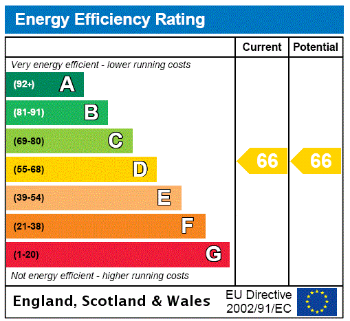
EPC Rating Graph
Price history
17% since 2012
| Event | Date | Price | % change |
|---|---|---|---|
| Sold | 24/07/2020 (6 years ago) | £163,500 | +0.3% |
| Sold | 19/07/2017 (9 years ago) | £163,000 | +16.4% |
| Sold | 13/03/2012 (14 years ago) | £140,000 | — |
Source: HM Land Registry Price Paid Data. Crown copyright.
Sold Comparables
Same street and nearby sales within 0.25 miles (last 5 years). Data from Land Registry Price Paid.
| Address | Price | Date | Type |
|---|---|---|---|
| 108 BEECHWOOD DRIVE, CAMELFORD, CORNWALL, PL32 9NB | £300,000 | 24/10/2024 | Semi-detached |
| 73 BEECHWOOD DRIVE, CAMELFORD, CORNWALL, PL32 9NB | £235,000 | 13/06/2024 | Semi-detached |
| 41 BEECHWOOD DRIVE, CAMELFORD, CORNWALL, PL32 9NA | £272,500 | 22/05/2023 | Semi-detached |
| 1 TREFREW ROAD, CAMELFORD, CORNWALL, PL32 9TP | £435,000 | 15/12/2022 | Semi-detached |
| 85B BEECHWOOD DRIVE, CAMELFORD, CORNWALL, PL32 9NB | £330,000 | 06/09/2022 | Semi-detached |
| 5 VICTORIA ROAD, CAMELFORD, CORNWALL, PL32 9TH | £340,000 | 18/03/2022 | Semi-detached |
| 51 BEECHWOOD DRIVE, CAMELFORD, CORNWALL, PL32 9NB | £250,000 | 15/11/2021 | Semi-detached |
| 25 BEECHWOOD DRIVE, CAMELFORD, CORNWALL, PL32 9NA | £218,000 | 09/09/2021 | Semi-detached |
| 95 BEECHWOOD DRIVE, CAMELFORD, CORNWALL, PL32 9NB | £252,000 | 26/08/2021 | Semi-detached |
| 32 BEECHWOOD DRIVE, CAMELFORD, CORNWALL, PL32 9NA | £220,000 | 09/08/2021 | Semi-detached |
Area average: £285,250 (10 sales)
Capital growth trend
House Price Index (HM Land Registry — official index, not sold-price averages): Cornwall. Series: Semi-detached. As of April 2026.
Rental Range
Estimated market rent for Cornwall. Low = conservative, Realistic = average, Optimistic = best case.
Based on Local Authority from postcode lookup → Cornwall.
Location
Nearby
Nearest stations, universities and amenities (distance from property).
| Type | Name | Distance |
|---|---|---|
| Bus stop | Camelford Church | 0.2 miles |
| Bus stop | Post Office | 0.3 miles |
| Shop | Dave Bass Car Body Repairs | 0.7 miles |
| Shop | Highfield Motors | 0.7 miles |
| Hospital | WW2 RAF Davidstow Sick Quarters | 2.9 miles |
| Train station | Mansion House Station | 10.4 miles |
| Train station | Boscarne Junction | 11.2 miles |
| Hospital | Bodmin Hospital | 11.3 miles |
Street-level crime
| Category | Count |
|---|---|
| Violence and sexual offences | 4 |
| Anti-social behaviour | 1 |
| Drugs | 1 |
| Shoplifting | 1 |
| Total incidents | 7 |
Within 1 mile during May 2026. Source: data.police.uk (England & Wales).
Schools nearby
Nearest open schools with Ofsted ratings (England). Closed schools are not shown. Data from Get Information about Schools and Ofsted.
| Name | Type | Distance | Ofsted |
|---|---|---|---|
| Sir James Smith's School | Secondary | 0.5 miles | Good — 8 Jun 2016 |
| Camelford Community Primary School | Primary | 0.6 miles | Good — 25 Jan 2024 |
| Delabole Primary School | Primary | 2.6 miles | Good — 20 Oct 2017 |
| St Teath Community Primary School | Primary | 3.5 miles | Good — 5 Dec 2012 |
| Boscastle Community Primary School | Primary | 4.2 miles | Good — 29 Nov 2018 |
Rental Comparables
Residential lets from OpenRent and Rightmove for the area (same bedroom count). Use to validate rent estimates. Student lets are excluded.
| Title | Rent | Beds | Distance | As seen on |
|---|---|---|---|---|
| 2 Bed Flat, Clease Road, PL32 | £850/mo | 2 | 0.52 miles | OpenRent |
| 2 Bed Flat, Penclease House, PL32 | £900/mo | 2 | 0.52 miles | OpenRent |
Average rent: £875/mo (2 listings)
Rent-driven metrics
Based on OpenRent comparables.
- Rent ratio — Monthly rent ÷ purchase price (1% rule). 1%+ = strong, 0.8–1% = okay, <0.8% = weak for cashflow.
- Max investor price — Rent ÷ 0.8%; the price at which rent would be 0.8% of price (Stoke-style target).
- Target investor price — Rent ÷ 1%; the price at which rent would be 1% of price (strong cashflow band).
- Gross yield — Annual rent as % of purchase price (no costs).
- Cost-to-rent — Price ÷ annual rent (from OpenRent comparables). Under 14× = strong, 14–16× = acceptable, 17×+ = compressed.
- Cashflow — Rent minus mortgage, 10% maintenance, £25/mo compliance. Assumes 75% LTV, 3.95% APR (5yr fixed), 25yr term.
- ROI — Annual profit ÷ cash in (deposit + 4% purchase costs).