56 DUNKLEY STREET
WOLVERHAMPTON, WEST MIDLANDS WV1 4AN
£1,025 pcm
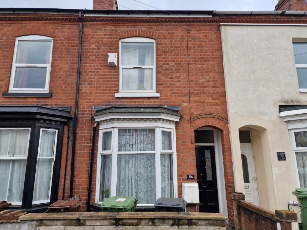
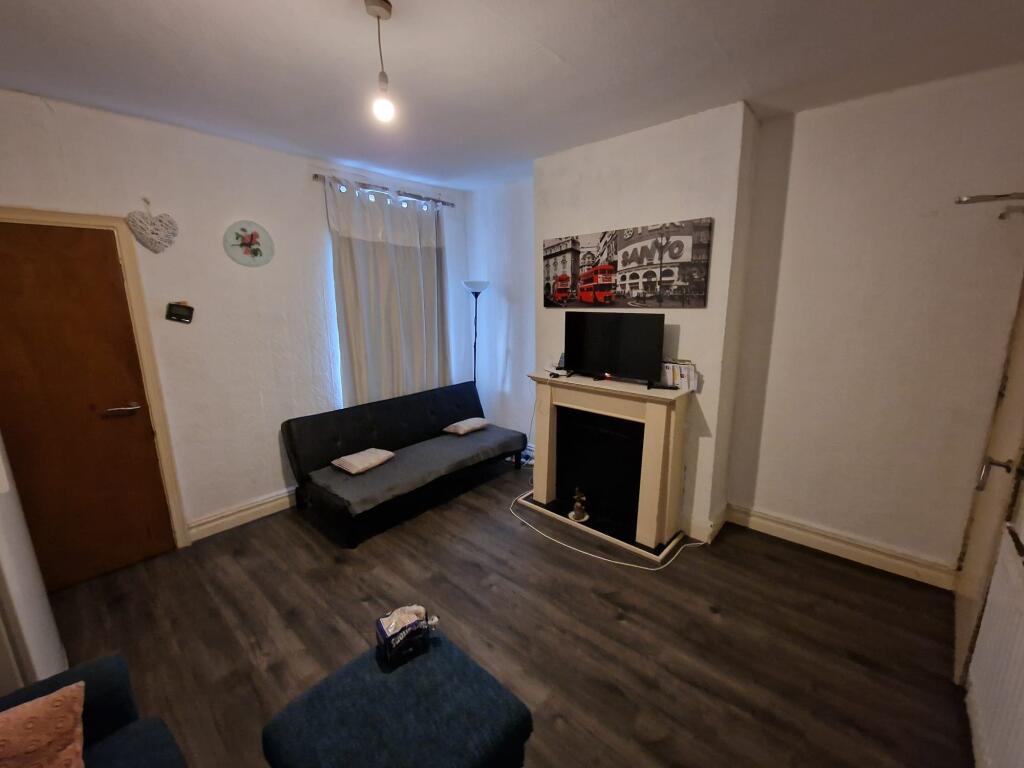
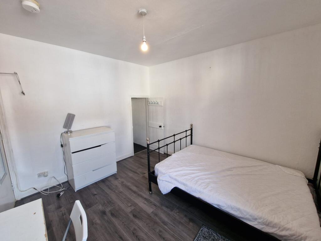
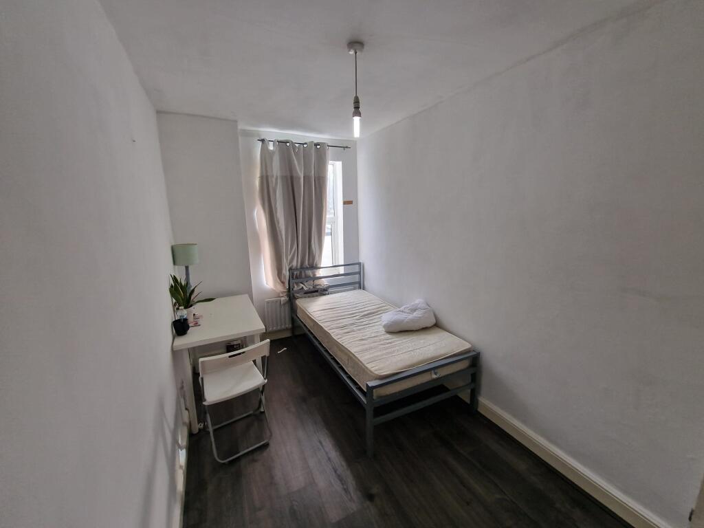
Photo 1 Photo 2 Photo 3 Photo 4 Photo 5
/ 5
Property details
Floor area
79 m²
EPC rating
D
Year built
England and Wales: 1900-1929
Deprivation
Decile 1 (1,537 of 33,755)
Street crime
595 incidents within 1 mile (Apr 2026)
Key features
- AVAILABLE NOW
- CITY CENTER
- BRILLIANT LOCATION FOR COMMUTERS
- FOUR BEDROOMS
Additional details
- Garden
- Yes
Description
Listed by
Wolverhampton
Countrywide UK Lettings - Connells
Reference: 170750900
EPC Rating & Upgrade Cost
Current rating: D
Potential rating: C
Inspection date: 26/06/2019
Current heating cost: £730/year
Potential heating cost: £595/year
Recommendations
- 50 mm internal or external wall insulation (14,000)
- Upgrade heating controls (450)
- Solar water heating (6,000)
- Solar photovoltaic panels, 2.5 kWp (5,500)
Flood risk
Zone: 1
Risk: Low
Job (default Low)
Rental Range
Estimated market rent for Wolverhampton. Low = conservative, Realistic = average, Optimistic = best case.
Based on Local Authority from postcode lookup → Wolverhampton.
LHA (30th percentile) floor for Black Country: £922/mo (Apr 2025 – Mar 2026)
Location
Nearby
Nearest stations, universities and amenities (distance from property).
| Type | Name | Distance |
|---|---|---|
| Shop | Wolverhampton Wanderers Ticket Office | 0.1 miles |
| Bus stop | Waterloo Rd / Molineux Stadium | 0.1 miles |
| Shop | Wolves Megastore | 0.1 miles |
| Bus stop | New Hampton Road Eas / Dunkley St | 0.1 miles |
| University | University of Wolverhampton | 0.2 miles |
| University | University of Wolverhampton Wulfruna Campus | 0.3 miles |
| Hospital | West Park Hospital | 0.5 miles |
| Train station | Wolverhampton | 0.6 miles |
| Hospital | krishna pemmaraju | 1.6 miles |
| Train station | Bilbrook | 3.2 miles |
Street-level crime
| Category | Count |
|---|---|
| Violence and sexual offences | 271 |
| Shoplifting | 62 |
| Criminal damage and arson | 57 |
| Public order | 37 |
| Other theft | 33 |
| Drugs | 31 |
| Vehicle crime | 24 |
| Anti-social behaviour | 23 |
| Possession of weapons | 14 |
| Burglary | 13 |
| Other crime | 9 |
| Robbery | 9 |
| Theft from the person | 7 |
| Bicycle theft | 5 |
| Total incidents | 595 |
Within 1 mile during Apr 2026. Source: data.police.uk (England & Wales).
Schools nearby
Nearest open schools with Ofsted ratings (England). Closed schools are not shown. Data from Get Information about Schools and Ofsted.
| Name | Type | Distance | Ofsted |
|---|---|---|---|
| Broadmeadow Special School | Other | 0.1 miles | Good — 15 Jul 2024 |
| West Park Primary School | Primary | 0.2 miles | Good — 6 May 2019 |
| University of Wolverhampton | Other | 0.3 miles | — (No rating) |
| Dunstall Hill Primary School | Primary | 0.4 miles | Good — 13 May 2019 |
| Thomas Telford University Technical College | Secondary | 0.5 miles | — (Inspected (no overall grade)) |
Rental Comparables
Rental listings exist nearby, but none matched the 4-bedroom count for this property.