29 GRANVILLE ROAD
LONDON, WALTHAMSTOW, GREATER LONDON E17 9BS
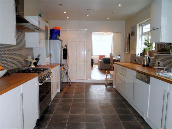
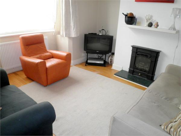
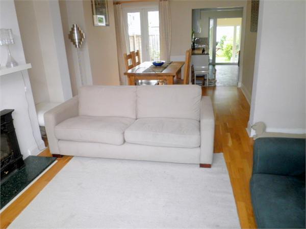
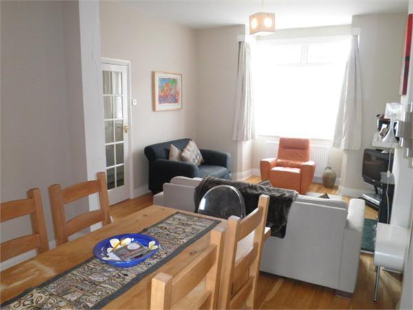
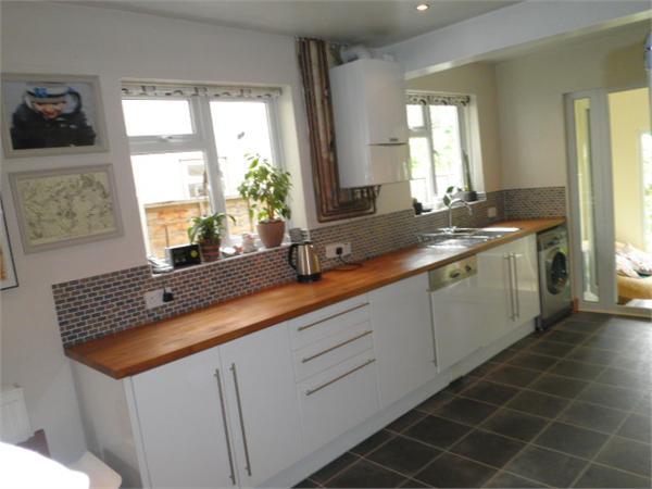
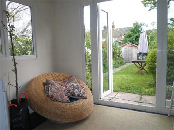
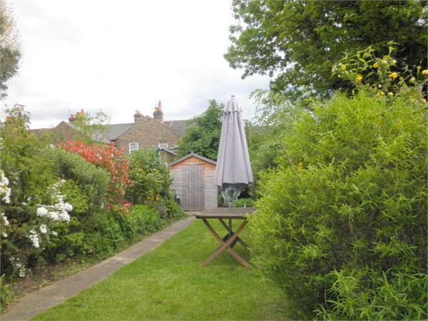
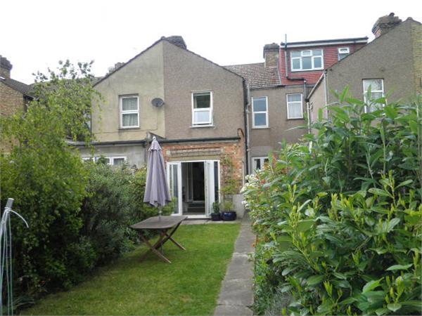
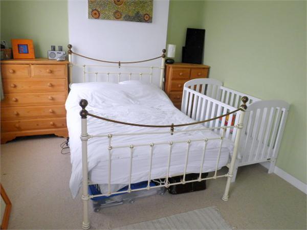
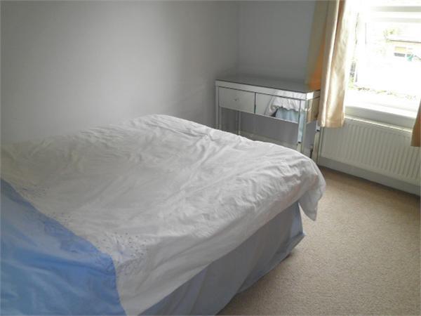
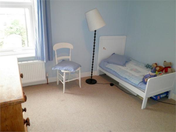
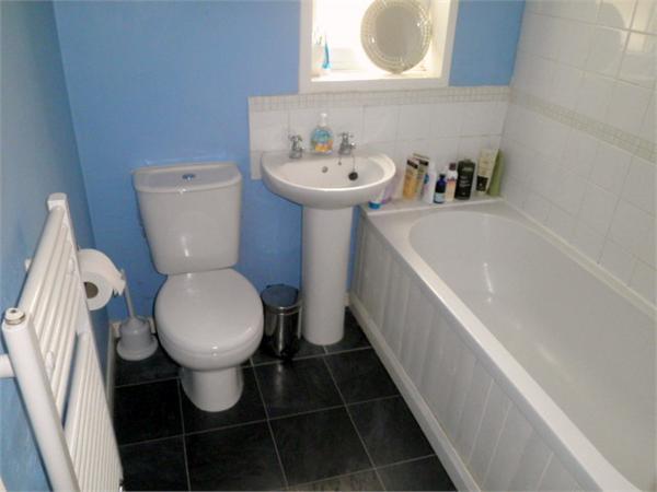
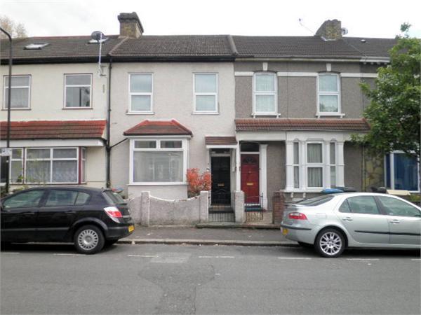
Photo 1 Photo 2 Photo 3 Photo 4 Photo 5 Photo 6 Photo 7 Photo 8 Photo 9 Photo 10 Photo 11 Photo 12 Photo 13
/ 13
Property details
Last sold
£355,000 Sep 2010
Local average
£366,285 (+2.4%)
Deprivation
Decile 4 (12,903 of 33,755)
Street crime
984 incidents within 1 mile (Apr 2026)
Key features
- Amenities:Central Heating,Double Glazing,Fitted Kitchen,Cellar,
- Local Facilities:Railway Station,Shops,Tube,Park,Restaurants,Bars,Bus Stop,
- Near Stations:Walthamstow Central,
Description
This property is within moments reach of " The Stows Village " area .
We are pleased to offer this three double bedroom house for sale. This property benefits from a spacious fitted kitchen with intergrated appliances, wooden floors, upstairs bathroom and a conservatory.
Southward facing garden
Close to Village and Walthamstow central station
Listed by
Walthamstow & Leyton
Coppermills
Reference: 16609380
EPC Rating & Upgrade Cost
Fetching EPC data… Refresh this page in a moment.
Flood risk
Zone: 1
Risk: Low
Job (default Low)
Price history
42% since 2004
| Event | Date | Price | % change |
|---|---|---|---|
| Sold | 27/09/2010 (15 years ago) | £355,000 | +42% |
| Sold | 16/08/2004 (21 years ago) | £250,000 | — |
Source: HM Land Registry Price Paid Data. Crown copyright.
Sold Comparables
Same street and nearby sales within 0.25 miles (last 5 years). Data from Land Registry Price Paid.
| Address | Price | Date | Type |
|---|---|---|---|
| 400A HOE STREET, LONDON, WALTHAM FOREST, GREATER LONDON, E17 9AA | £622,500 | 06/12/2022 | Other |
| 365 HOE STREET, LONDON, WALTHAM FOREST, GREATER LONDON, E17 9AP | £41,000 | 18/10/2022 | Other |
| 581 - 583 GROUND FLOOR SHOP LEA BRIDGE ROAD, LONDON, WALTHAM FOREST, GREATER LONDON, E10 6AJ | £655,000 | 14/09/2022 | Other |
| 583 LEA BRIDGE ROAD, LONDON, WALTHAM FOREST, GREATER LONDON, E10 6AJ | £6,000 | 14/09/2022 | Other |
| 597 LEA BRIDGE ROAD, LONDON, WALTHAM FOREST, GREATER LONDON, E10 6AJ | £330,000 | 14/09/2022 | Other |
| 589 LEA BRIDGE ROAD, LONDON, WALTHAM FOREST, GREATER LONDON, E10 6BB | £625,000 | 18/07/2022 | Other |
| 365 HOE STREET, LONDON, WALTHAM FOREST, GREATER LONDON, E17 9AP | £526,000 | 16/03/2022 | Other |
| 633 - 637 LEA BRIDGE ROAD, LONDON, WALTHAM FOREST, GREATER LONDON, E10 6AJ | £895,000 | 11/02/2022 | Other |
| 361A HOE STREET, LONDON, WALTHAM FOREST, GREATER LONDON, E17 9AP | £265,000 | 11/11/2021 | Other |
| 1A CLARENDON ROAD, WALTHAMSTOW, LONDON, WALTHAM FOREST, GREATER LONDON, E17 9AY | £145,000 | 15/10/2021 | Other |
| 1A CLARENDON ROAD, WALTHAMSTOW, LONDON, WALTHAM FOREST, GREATER LONDON, E17 9AY | £170,000 | 15/10/2021 | Other |
| SWELL COURT, 4 FLAT 23 GANDHI CLOSE, LONDON, WALTHAM FOREST, GREATER LONDON, E17 8LX | £276,000 | 23/06/2021 | Other |
| 1B COPELAND ROAD, LONDON, WALTHAM FOREST, GREATER LONDON, E17 9DB | £532,000 | 16/06/2021 | Other |
Area average: £391,423 (13 sales)
Capital growth trend
Land Registry outcode average: last 12 months vs 5y and 10y ago (from sold prices).
House Price Index (HM Land Registry — official index, not sold-price averages): Waltham Forest. Series: All dwelling types. As of March 2026.
Rental Range
Estimated market rent for Waltham Forest. Low = conservative, Realistic = average, Optimistic = best case.
Based on Local Authority from postcode lookup → Waltham Forest.
LHA (30th percentile) floor for Outer East London: £1,670/mo (Apr 2025 – Mar 2026)
Location
Nearby
Nearest stations, universities and amenities (distance from property).
| Type | Name | Distance |
|---|---|---|
| Bus stop | Grove Road | 0.1 miles |
| Shop | The E17 Cobbler | 0.1 miles |
| Shop | Michael's Hairstyles | 0.1 miles |
| Bus stop | Bakers Avenue | 0.1 miles |
| Train station | Walthamstow Central | 0.4 miles |
| Train station | Walthamstow Queen's Road | 0.5 miles |
| University | Arden University Stratford Campus | 2.4 miles |
| Hospital | Rainbow Ward | 4.3 miles |
| Hospital | A&E Department | 4.3 miles |
| University | University of Wales Trinity Saint David London | 4.6 miles |
Street-level crime
| Category | Count |
|---|---|
| Violence and sexual offences | 243 |
| Anti-social behaviour | 237 |
| Other theft | 85 |
| Vehicle crime | 77 |
| Drugs | 61 |
| Criminal damage and arson | 58 |
| Theft from the person | 49 |
| Burglary | 46 |
| Public order | 44 |
| Shoplifting | 34 |
| Robbery | 24 |
| Possession of weapons | 10 |
| Bicycle theft | 9 |
| Other crime | 7 |
| Total incidents | 984 |
Within 1 mile during Apr 2026. Source: data.police.uk (England & Wales).
Schools nearby
Nearest open schools with Ofsted ratings (England). Closed schools are not shown. Data from Get Information about Schools and Ofsted.
| Name | Type | Distance | Ofsted |
|---|---|---|---|
| Belmont Park School | Other | 0.3 miles | Good — 3 Oct 2014 |
| Thomas Gamuel Primary School | Primary | 0.4 miles | Good — 15 Nov 2016 |
| Edinburgh Primary School | Primary | 0.4 miles | Good — 11 Nov 2018 |
| Church Hill Nursery School | Nursery | 0.5 miles | Outstanding — 11 Sep 2012 |
| Henry Maynard Primary School | Primary | 0.5 miles | Good — 14 Nov 2023 |
Rental Comparables
Rental listings exist nearby, but none matched the 3-bedroom count for this property.
Rent-driven metrics
Based on Area rent estimate.
- Rent ratio — Monthly rent ÷ purchase price (1% rule). 1%+ = strong, 0.8–1% = okay, <0.8% = weak for cashflow.
- Max investor price — Rent ÷ 0.8%; the price at which rent would be 0.8% of price (Stoke-style target).
- Target investor price — Rent ÷ 1%; the price at which rent would be 1% of price (strong cashflow band).
- Gross yield — Annual rent as % of purchase price (no costs).