ST6 1DJ
ST6 1DJ
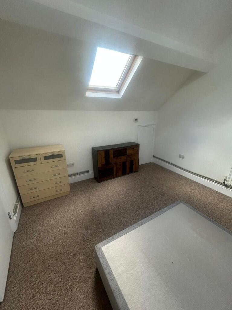
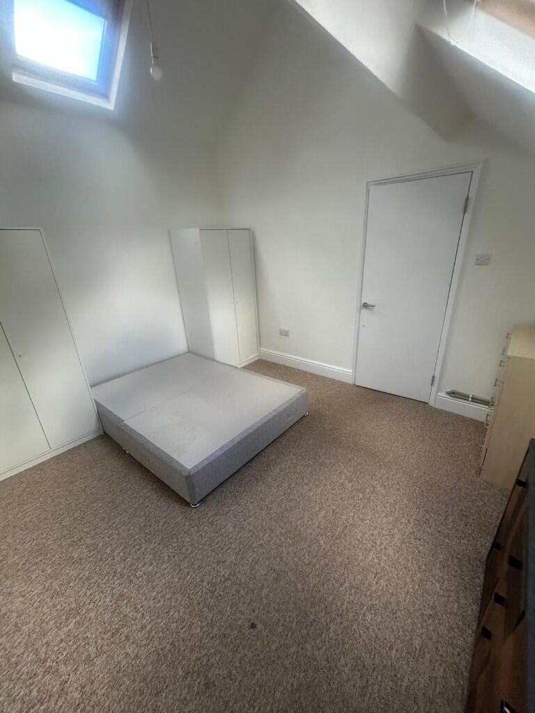
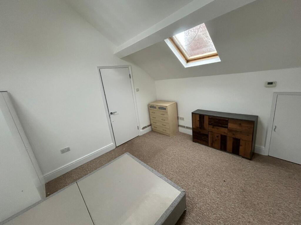
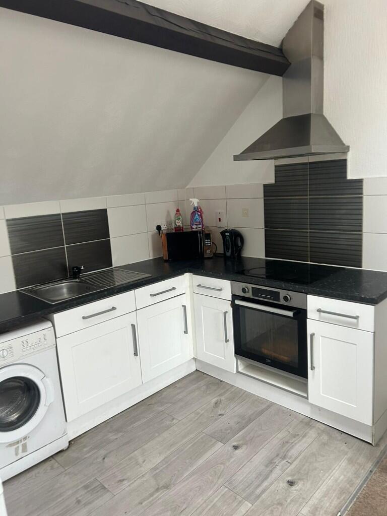
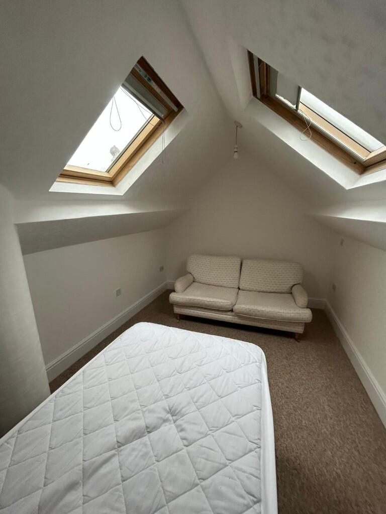
Photo 1 Photo 2 Photo 3 Photo 4 Photo 5 Photo 6 Photo 7 Photo 8 Photo 9 Photo 10 Photo 11 Photo 12 Photo 13
/ 13
Property details
Deprivation
Decile 1 (1,445 of 33,755)
EPC Rating & Upgrade Cost
Fetching EPC data… Refresh this page in a moment.
Flood risk
Zone: 1
Risk: Low
Not in Flood Risk Area (no data)
Rental Range
Estimated market rent for Stoke-on-Trent. Low = conservative, Realistic = average, Optimistic = best case.
Based on Local Authority from postcode lookup → Stoke-on-Trent.
LHA (30th percentile) floor for Staffordshire North: £479/mo (Apr 2025 – Mar 2026)
Location
Address
1 Moorland Road
Nearby
Nearest stations, universities and amenities (distance from property).
| Type | Name | Distance |
|---|---|---|
| Bus stop | 3A | 0.0 miles |
| Shop | Moorland Supermarket | 0.1 miles |
| Shop | Market Place Store | 0.1 miles |
| Bus stop | Newcastle Street, Dale Street | 0.4 miles |
| Hospital | Haywood Hospital Walk-in Centre | 0.8 miles |
| Hospital | Haywood Hospital | 0.8 miles |
| Train station | Longport | 0.9 miles |
| University | University of Staffordshire Stoke Campus | 2.6 miles |
| Train station | Stoke-on-Trent | 2.7 miles |
Street-level crime
Crime data is not yet available for this property.
Rental Comparables
Residential lets from OpenRent and Rightmove for the area (same bedroom count). Use to validate rent estimates. Student lets are excluded.
Average rent: £750/mo (37 listings)