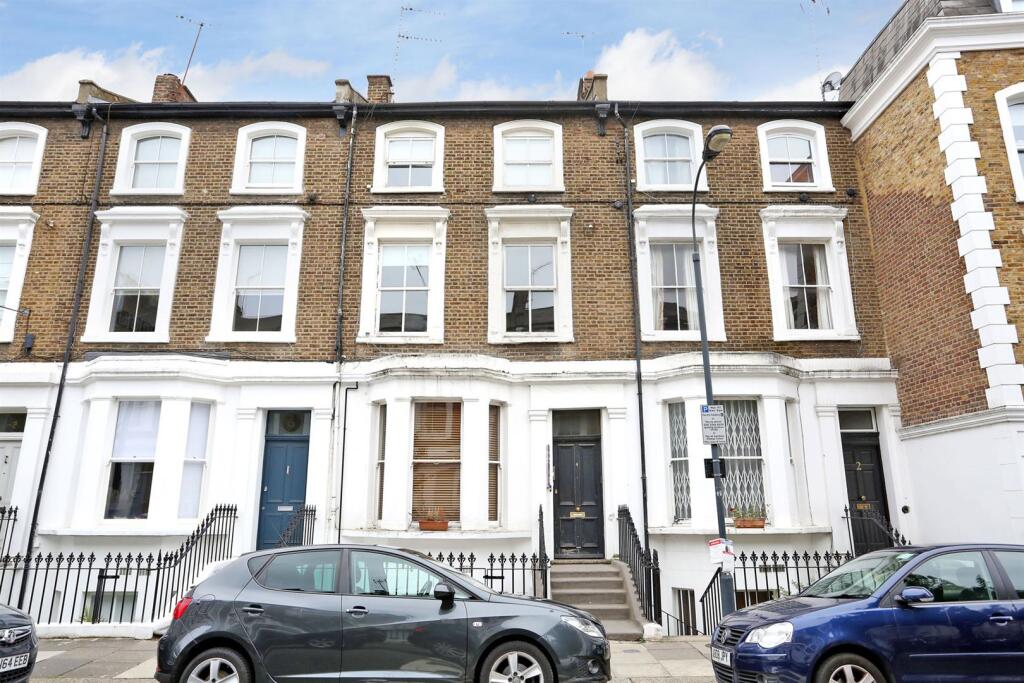
FLAT B
4 OVERSTONE ROAD, LONDON, GREATER LONDON W6 0AA
£1,550 pcm
Property details
Floor area
40 m²
Council tax band
C
EPC rating
C
Year built
England and Wales: before 1900
Deprivation
Decile 6 (19,355 of 33,755)
Street crime
1289 incidents within 1 mile (Apr 2026)
Key features
- Available immediately
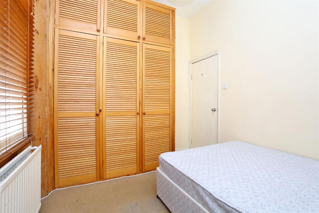
- One bedroom apartment
- Excellent location
- Only a few minutes walk to Hammersmith Broadway and the tube
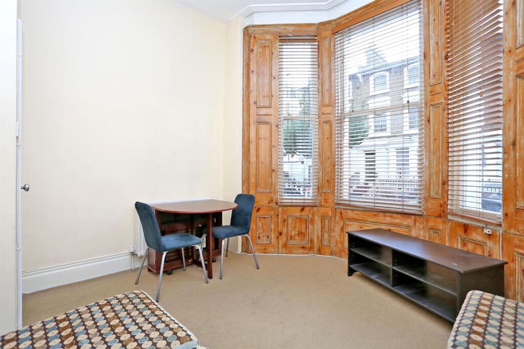
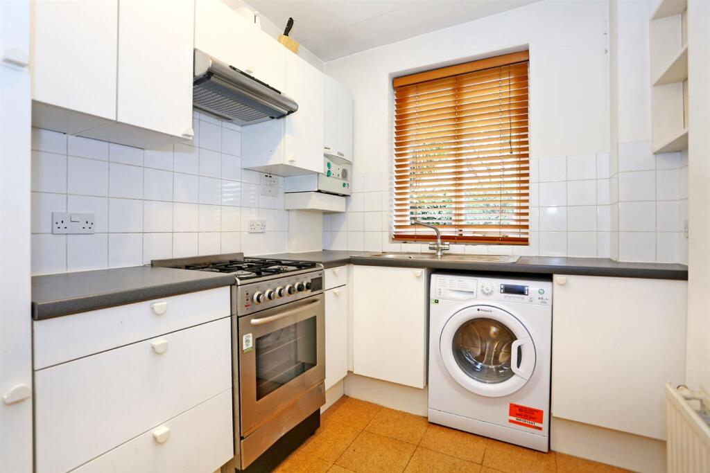
- Unfurnished
Additional details
- Parking
- Permit
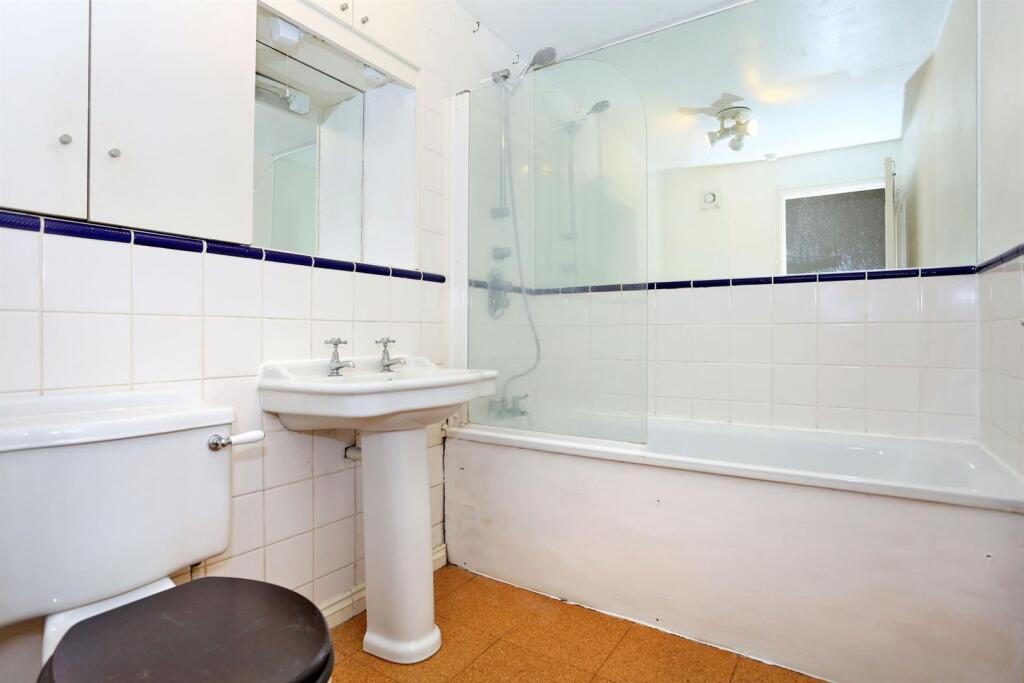
Description
The area benefits from an excellent selection of local shops, cafes, and restaurants along King Street and nearby Brook Green, while Hammersmith Broadway provides superb transport links via the Underground (Piccadilly, District, Hammersmith and City and Circle) and numerous bus routes. Westfield Shopping Centre is nearby, and Riverside walks along the Thames and the green spaces of Ravenscourt Park are also within easy reach.
Unfurnished. Available immediately. EPC Rating C.
Listed by
Chiswick
Andrew Nunn & Associates
Reference: 168999206
EPC Rating & Upgrade Cost
Current rating: C
Potential rating: C
Inspection date: 13/08/2019
Current heating cost: £310/year
Potential heating cost: £176/year
Recommendations
- 50 mm internal or external wall insulation (14,000)
- Replace single glazed windows with low-E double glazing (6,500)
Flood risk
Zone: 1
Risk: Low
Job (default Low)
EPC Graphs
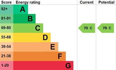
EPC.jpg
Rental Range
Estimated market rent for Hammersmith and Fulham. Low = conservative, Realistic = average, Optimistic = best case.
Based on Local Authority from postcode lookup → Hammersmith and Fulham.
LHA (30th percentile) floor for Inner West London: £1,346/mo (Apr 2025 – Mar 2026)
Location
Nearby
Nearest stations, universities and amenities (distance from property).
| Type | Name | Distance |
|---|---|---|
| Bus stop | Glenthorne House | 0.0 miles |
| Shop | Esmond Garage | 0.1 miles |
| Shop | Smile Direct Club | 0.1 miles |
| Train station | Hammersmith (Circle and Hammersmith & City lines) | 0.1 miles |
| Bus stop | Iffley Road | 0.1 miles |
| Train station | Hammersmith (District and Piccadilly lines) | 0.3 miles |
| University | Scale Space White City | 1.4 miles |
| University | BIMM Institute London | 1.7 miles |
| Hospital | Bridge Lane Health Centre | 3.0 miles |
| Hospital | The Portland Hospital | 4.1 miles |
Street-level crime
| Category | Count |
|---|---|
| Violence and sexual offences | 299 |
| Anti-social behaviour | 295 |
| Shoplifting | 168 |
| Other theft | 98 |
| Vehicle crime | 97 |
| Public order | 90 |
| Drugs | 61 |
| Criminal damage and arson | 43 |
| Burglary | 36 |
| Theft from the person | 33 |
| Bicycle theft | 23 |
| Robbery | 22 |
| Other crime | 16 |
| Possession of weapons | 8 |
| Total incidents | 1289 |
Within 1 mile during Apr 2026. Source: data.police.uk (England & Wales).
Schools nearby
Nearest open schools with Ofsted ratings (England). Closed schools are not shown. Data from Get Information about Schools and Ofsted.
| Name | Type | Distance | Ofsted |
|---|---|---|---|
| The Godolphin and Latymer School | Other | 0.1 miles | — (No rating) |
| West London Free School Primary | Primary | 0.2 miles | Outstanding — 18 Jun 2015 |
| Earl's Court Free School Primary | Primary | 0.2 miles | Outstanding — 7 Sep 2017 |
| Sacred Heart High School | Secondary | 0.2 miles | Outstanding — 31 Oct 2017 |
| Bute House Preparatory School for Girls | Other | 0.2 miles | — (No rating) |
Rental Comparables
Residential lets from OpenRent and Rightmove for the area (same bedroom count). Use to validate rent estimates. Student lets are excluded.
| Title | Rent | Beds | Distance | As seen on |
|---|---|---|---|---|
| 1 Bed Flat, Verulam House, W6 | £1,750/mo | 1 | 0.47 miles | OpenRent |
Average rent: £1,750/mo (1 listing)