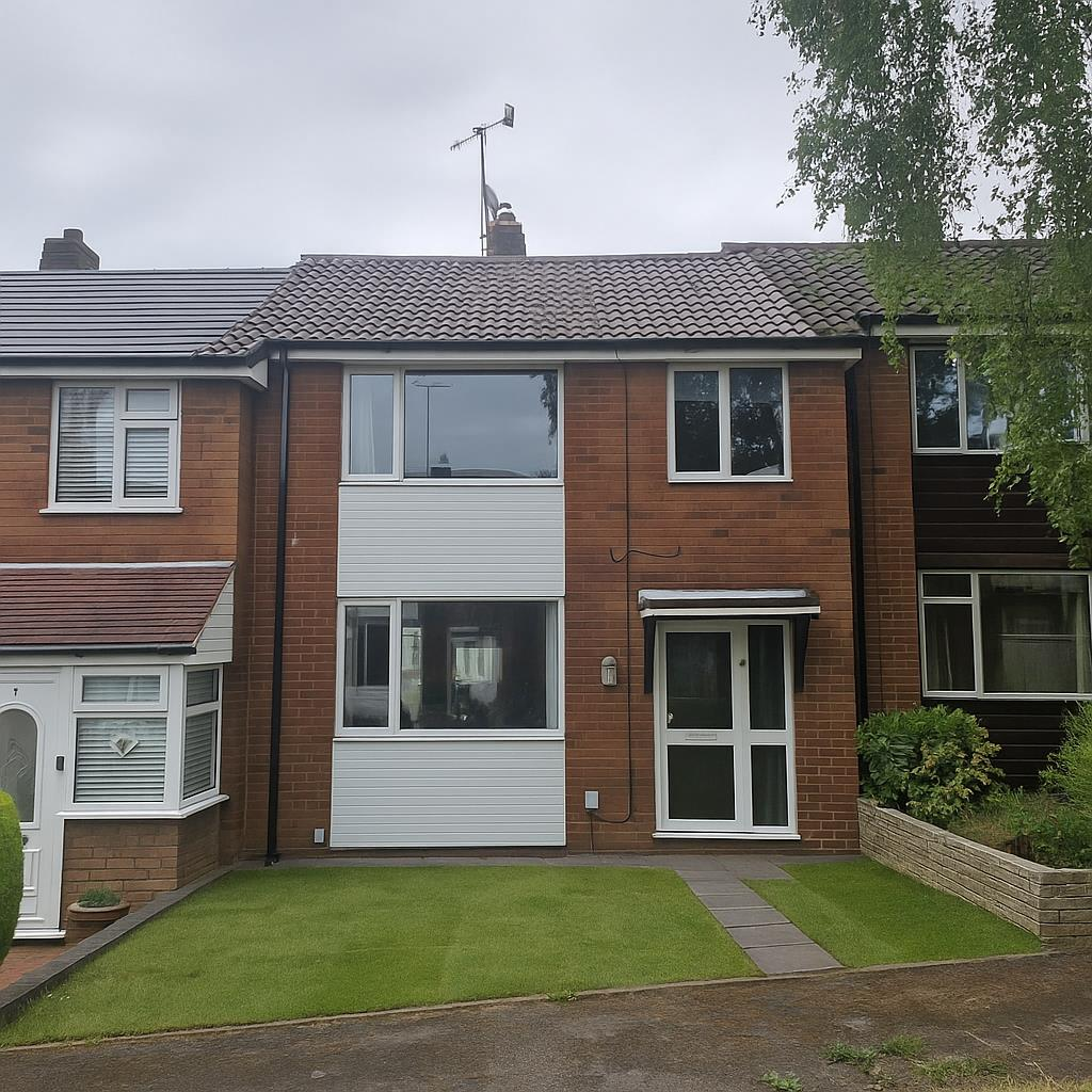
9 CORNWALL COURT
RUGELEY, RUGELEY, STAFFORDSHIRE WS15 1JY
£875 pcm
Property details
Floor area
72 m²
Council tax band
B
Deprivation
Decile 5 (14,196 of 33,755)
Street crime
112 incidents within 1 mile (Apr 2026)
Key features
- DEPOSIT ALTERNATIVE AVAILABLE
- DEPOSIT £1,009.61
- AVAILABLE SEPTEMBER
- COUNCIL TAX BAND B
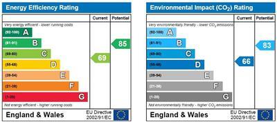
- EPC C
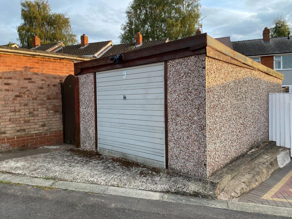
- GARAGE TO REAR
- PARKING TO REAR
Additional details
- Electricity
- Mains supply
- Water
- Mains supply
- Sewerage
- Mains supply
- Heating
- Gas central
- Parking
- Yes
- Garden
- Yes
Description
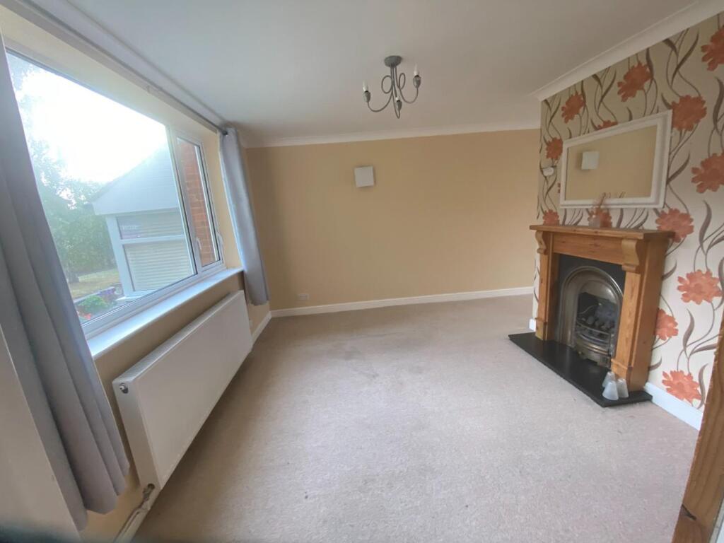
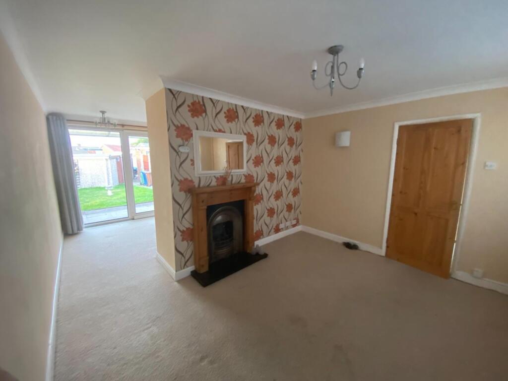
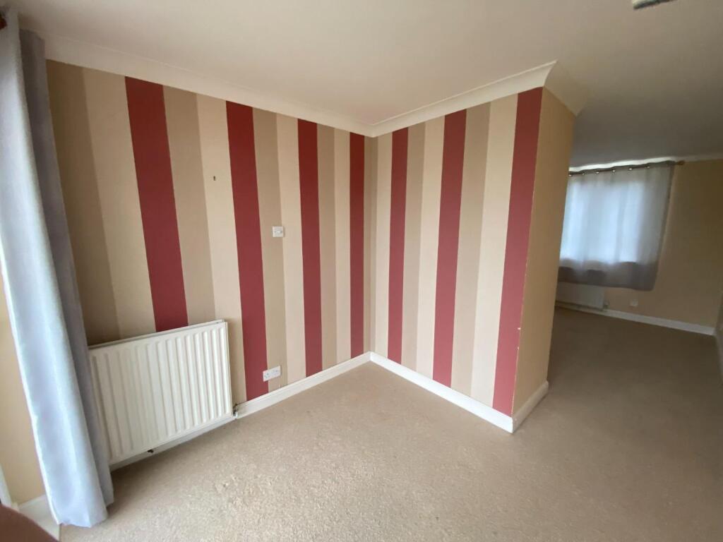
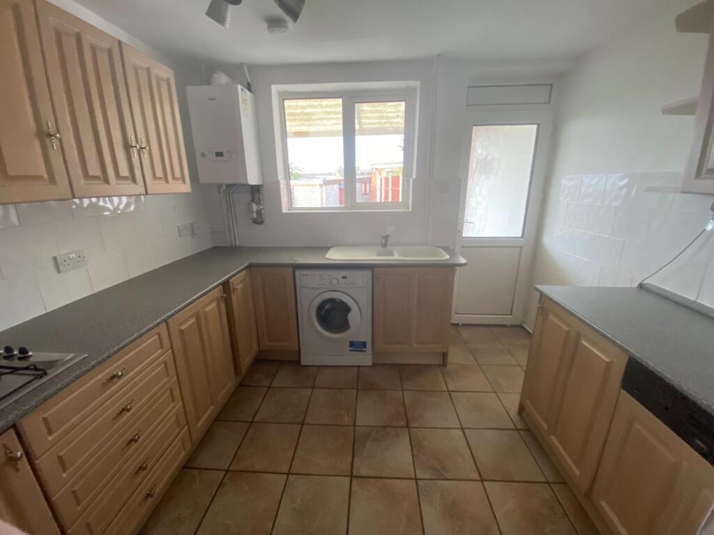
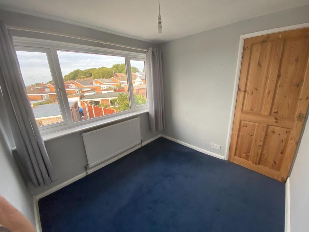
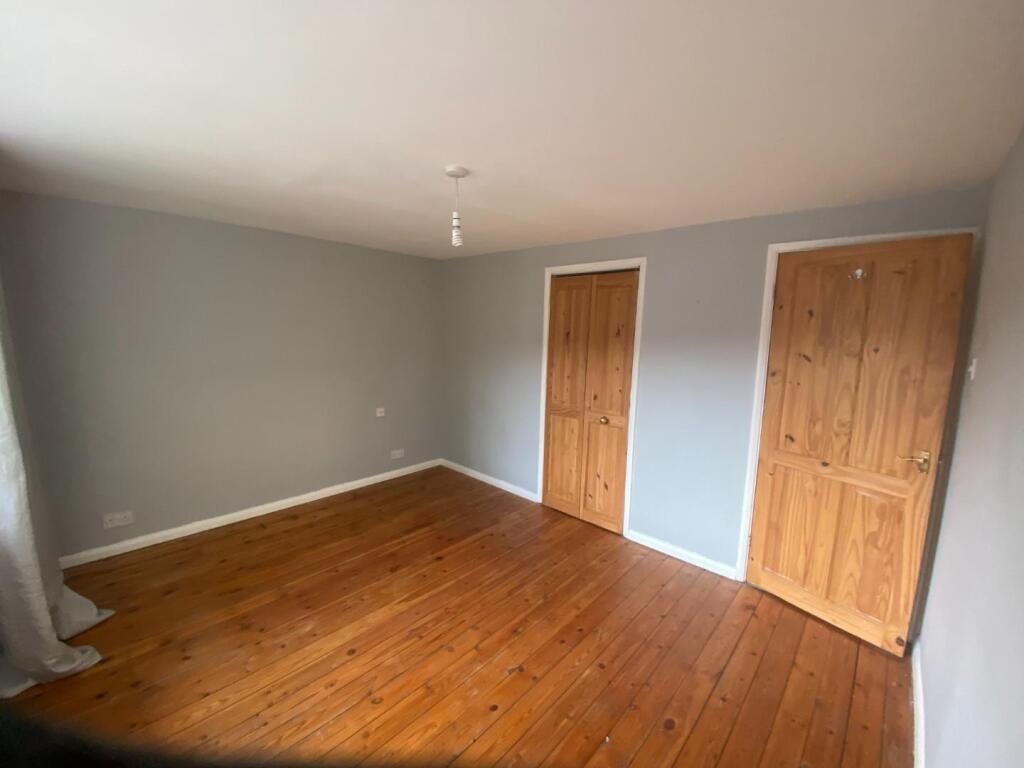
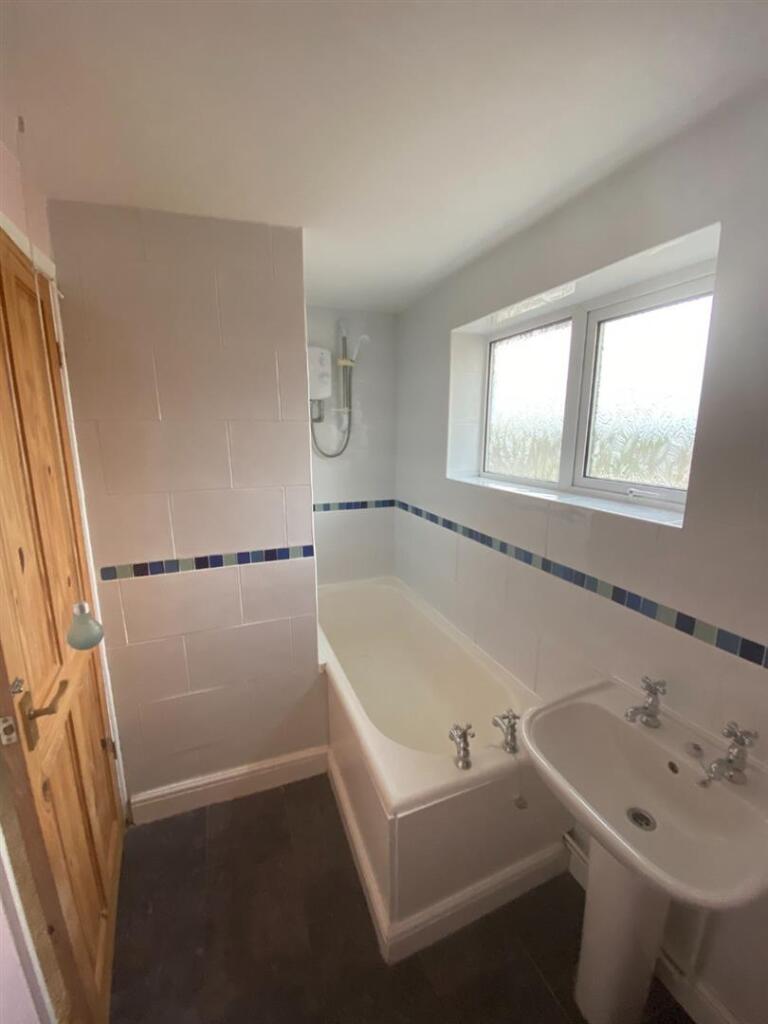
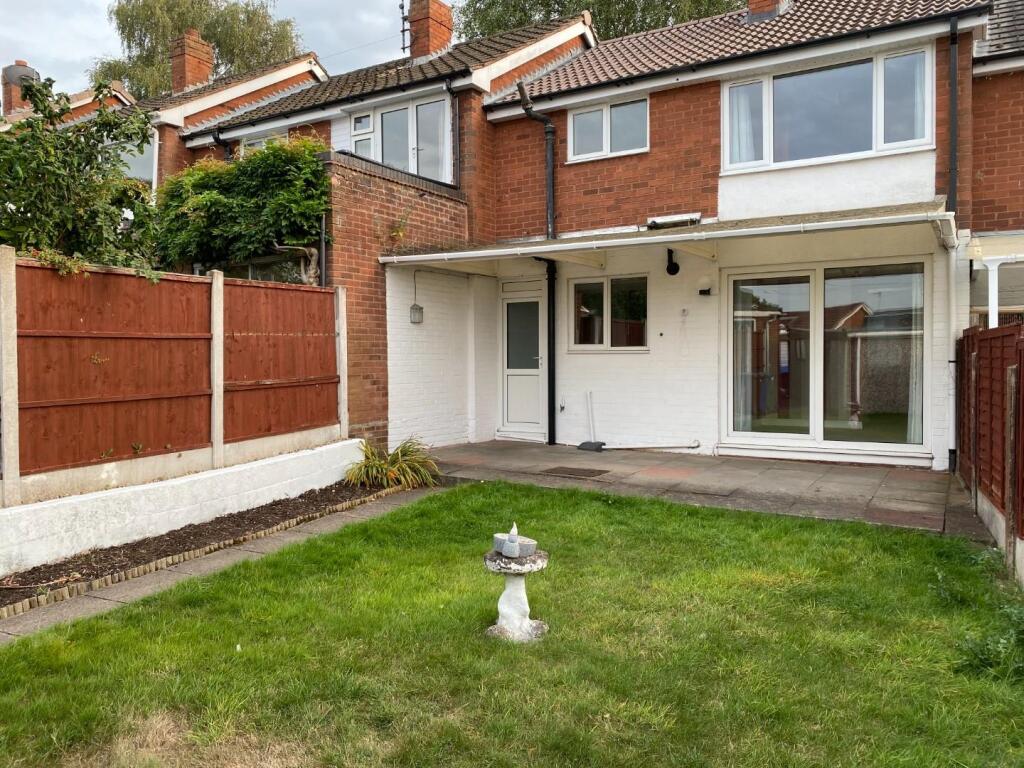
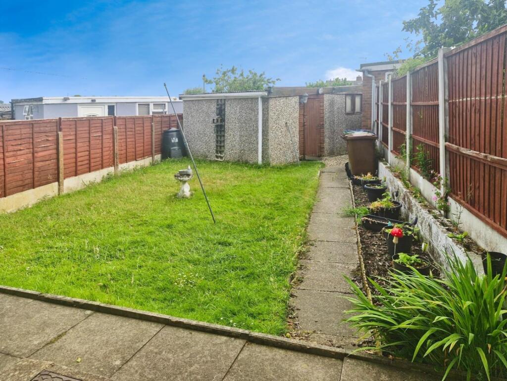
Spacious terraced property benefiting from Gas Central Heating. Accommodation comprises of Entrance Hall, Lounge, Dining Room, Kitchen . Three Bedrooms and Bathroom. Gardens to front and Rear. Garage and parking at rear. Available immediately.
EPC Rating C
DEPOSIT £1,009.61
Broadband speed upto 2000mbps
Council tax band B
Availiable September
Spacious terraced property benefiting from Gas Central Heating. Accommodation comprises of Entrance Hall, Lounge, Dining Room, Kitchen with some appliances. Three Bedrooms and Bathroom. Gardens to front and Rear. Garage and parking at rear.
Listed by
Lichfield
Hunters Property Group Ltd
Reference: 164291519
EPC Rating & Upgrade Cost
Fetching EPC data… Refresh this page in a moment.
Flood risk
Zone: 1
Risk: Low
Job (default Low)
EPC Graphs
EPC 1
Rental Range
Estimated market rent for Cannock Chase. Low = conservative, Realistic = average, Optimistic = best case.
Based on Local Authority from postcode lookup → Cannock Chase.
LHA (30th percentile) floor for Mid Staffs: £738/mo (Apr 2025 – Mar 2026)
Location
Nearby
Nearest stations, universities and amenities (distance from property).
| Type | Name | Distance |
|---|---|---|
| Bus stop | Draycott Park | 0.1 miles |
| Shop | The Co-operative Food | 0.4 miles |
| Train station | Rugeley Town | 0.7 miles |
| Shop | Peloton Cycles | 0.8 miles |
| Train station | Rugeley Trent Valley | 1.7 miles |
| Hospital | Cannock Chase Hospital | 5.2 miles |
| Hospital | Samuel Johnson Community Hospital | 6.9 miles |
| University | Staffordshire University Blackheath Lane Site | 7.0 miles |
Street-level crime
| Category | Count |
|---|---|
| Violence and sexual offences | 51 |
| Anti-social behaviour | 23 |
| Vehicle crime | 9 |
| Other theft | 6 |
| Public order | 6 |
| Shoplifting | 6 |
| Criminal damage and arson | 3 |
| Other crime | 3 |
| Burglary | 2 |
| Bicycle theft | 1 |
| Possession of weapons | 1 |
| Robbery | 1 |
| Total incidents | 112 |
Within 1 mile during Apr 2026. Source: data.police.uk (England & Wales).
Schools nearby
Nearest open schools with Ofsted ratings (England). Closed schools are not shown. Data from Get Information about Schools and Ofsted.
| Name | Type | Distance | Ofsted |
|---|---|---|---|
| Chase View Community Primary School | Primary | 0.3 miles | Good — 28 Jun 2022 |
| St Joseph's Catholic Primary School | Primary | 0.6 miles | Good — 13 Jun 2013 |
| Redbrook Hayes Community Primary School | Primary | 0.7 miles | Good — 22 Feb 2016 |
| Churchfield CofE Primary Academy | Primary | 0.8 miles | Good — 15 Nov 2023 |
| The Hart School | Secondary | 0.9 miles | Good — 27 Apr 2018 |
Rental Comparables
Rental comparables are temporarily unavailable while listing-site fetches are paused. Try again later.