29 DEAN MEADOW
NEWTON-LE-WILLOWS, MERSEYSIDE WA12 9PX
£800 pcm
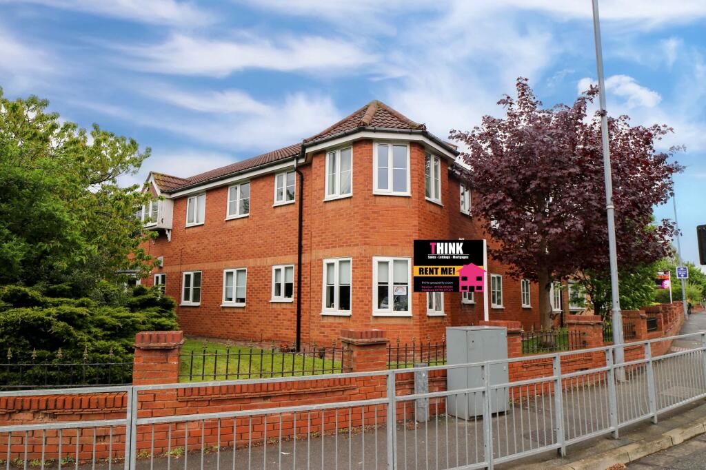
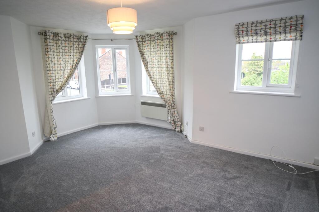
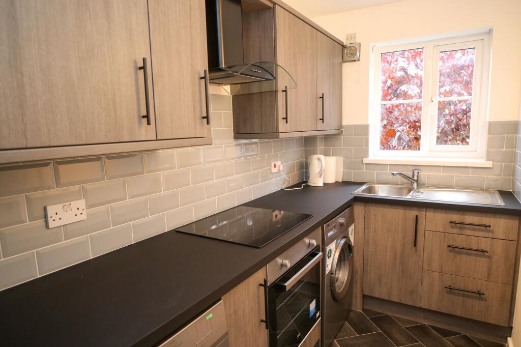
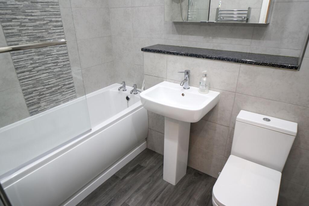
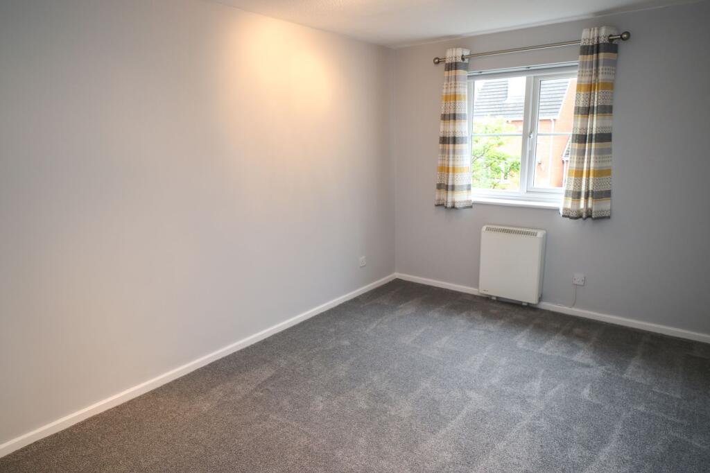
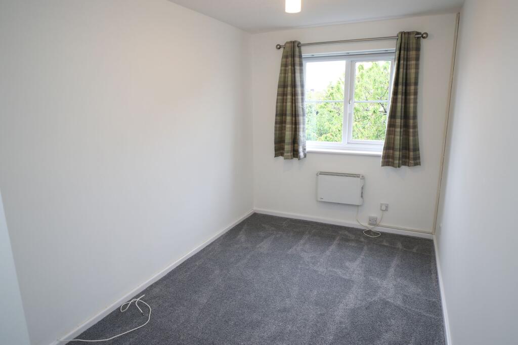
Photo 1 Lounge Kitchen Bathroom Bedroom 1 Bedroom 2
/ 6
Property details
Floor area
54 m²
Council tax band
B
EPC rating
C
Year built
England and Wales: 1991-1995
Deprivation
Decile 8 (23,774 of 33,755)
Street crime
174 incidents within 1 mile (Apr 2026)
Key features
- Quiet Location
- Modern Bathroom With Bath & Shower
- Modern Kitchen
- Great Size Lounge Area
- 1 Parking Space Included
- Electric Heating
- Close To The High Street
- No Pets
Additional details
- Electricity
- Mains supply
- Broadband
- FTTC (fibre to the cabinet)
- Water
- Mains supply
- Sewerage
- Mains supply
- Heating
- Electric
- Parking
- Yes
- Listed property
- No
- Restrictions
- No
- Required access
- No
- Rights of way
- No
- Flooded in last 5 years
- No
- Flood defences
- No
Description
EPC Rating: C
Listed by
Newton-le-Willows
Think Rentals Ltd
Reference: 171169769
EPC Rating & Upgrade Cost
Current rating: C
Potential rating: C
Inspection date: 08/06/2020
Expiry date: 07/06/2030
Current heating cost: £448/year
Potential heating cost: £322/year
Est. upgrade cost to C: £1,950
Recommendations
- Party wall insulation (£300 - £600)
- High heat retention storage heaters (£1,200 - £1,800)
Flood risk
Zone: 1
Risk: Low
Job (default Low)
Rental Range
Estimated market rent for St. Helens. Low = conservative, Realistic = average, Optimistic = best case.
Based on Local Authority from postcode lookup → St. Helens.
LHA (30th percentile) floor for Kendal: £648/mo (Apr 2025 – Mar 2026)
Location
Nearby
Nearest stations, universities and amenities (distance from property).
| Type | Name | Distance |
|---|---|---|
| Bus stop | Queens Drive | 0.0 miles |
| Bus stop | Sanderling Road | 0.1 miles |
| Shop | Mike's Rift Valley Cichlids | 0.2 miles |
| Shop | Crow Lane Mini Market | 0.2 miles |
| Train station | Earlestown | 0.5 miles |
| Train station | Newton-le-Willows | 0.7 miles |
| Hospital | Newton Community Hospital | 0.8 miles |
| Hospital | Hollins Park | 2.1 miles |
| University | University of Chester - Warrington Campus | 4.4 miles |
| University | University of Greater Manchester | 11.3 miles |
Street-level crime
| Category | Count |
|---|---|
| Violence and sexual offences | 71 |
| Shoplifting | 23 |
| Public order | 17 |
| Anti-social behaviour | 15 |
| Criminal damage and arson | 12 |
| Vehicle crime | 9 |
| Drugs | 7 |
| Other theft | 7 |
| Other crime | 6 |
| Burglary | 4 |
| Possession of weapons | 2 |
| Robbery | 1 |
| Total incidents | 174 |
Within 1 mile during Apr 2026. Source: data.police.uk (England & Wales).
Schools nearby
Nearest open schools with Ofsted ratings (England). Closed schools are not shown. Data from Get Information about Schools and Ofsted.
| Name | Type | Distance | Ofsted |
|---|---|---|---|
| Newton-le-Willows Primary School | Primary | 0.2 miles | Good — 16 Jun 2016 |
| St Mary's Catholic Infant Academy | Primary | 0.2 miles | Requires improvement — 21 Sep 2022 |
| St Mary's Catholic Junior Academy | Primary | 0.4 miles | Requires improvement — 23 Jan 2023 |
| Hope Academy | Secondary | 0.4 miles | — (Inspected (no overall grade)) |
| St Peter's CofE Primary School | Primary | 0.5 miles | Outstanding — 29 Jan 2014 |
Rental Comparables
Rental comparables are temporarily unavailable while listing-site fetches are paused. Try again later.