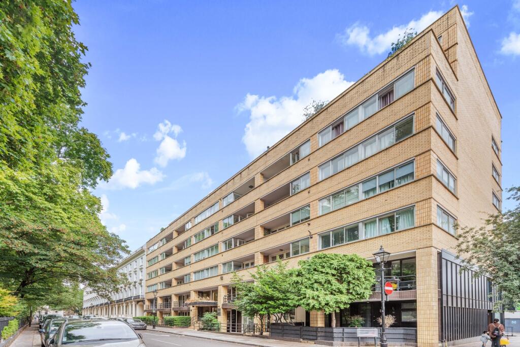
FLAT 116
THE COLONNADES, 34, PORCHESTER SQUARE, LONDON, GREATER LONDON W2 6AP
£4,117 pcm
Property details
Floor area
95 m²
Council tax band
F
EPC rating
C
Year built
England and Wales: 1967-1975
Deprivation
Decile 5 (15,289 of 33,755)
Street crime
1683 incidents within 1 mile (Apr 2026)
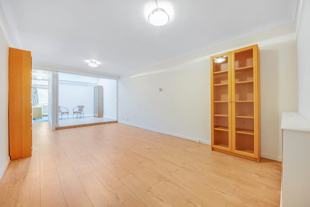
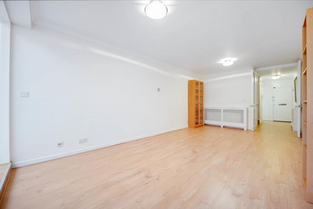
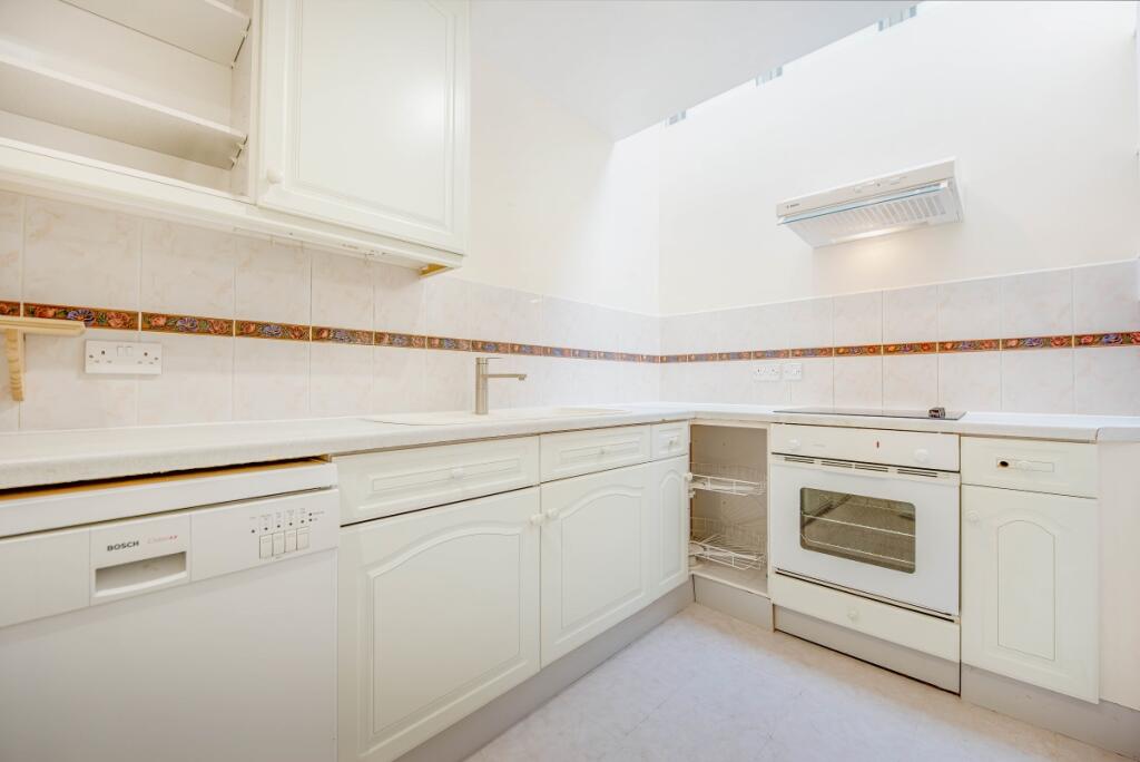
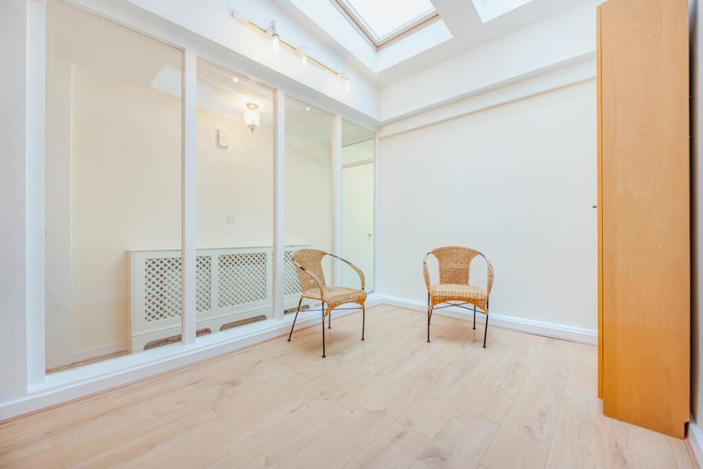
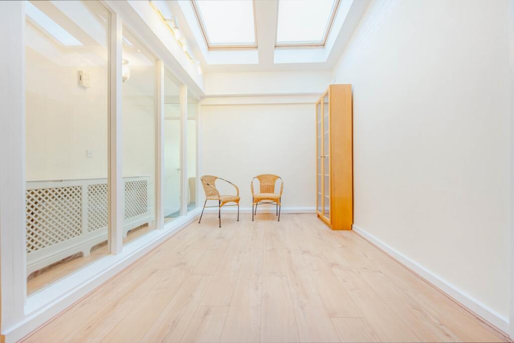
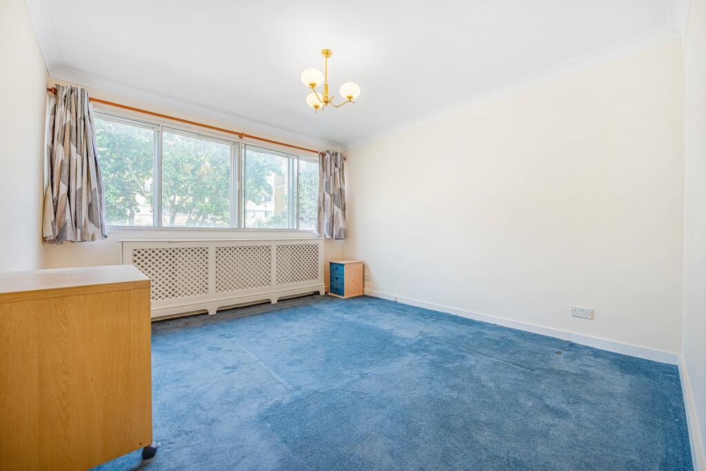
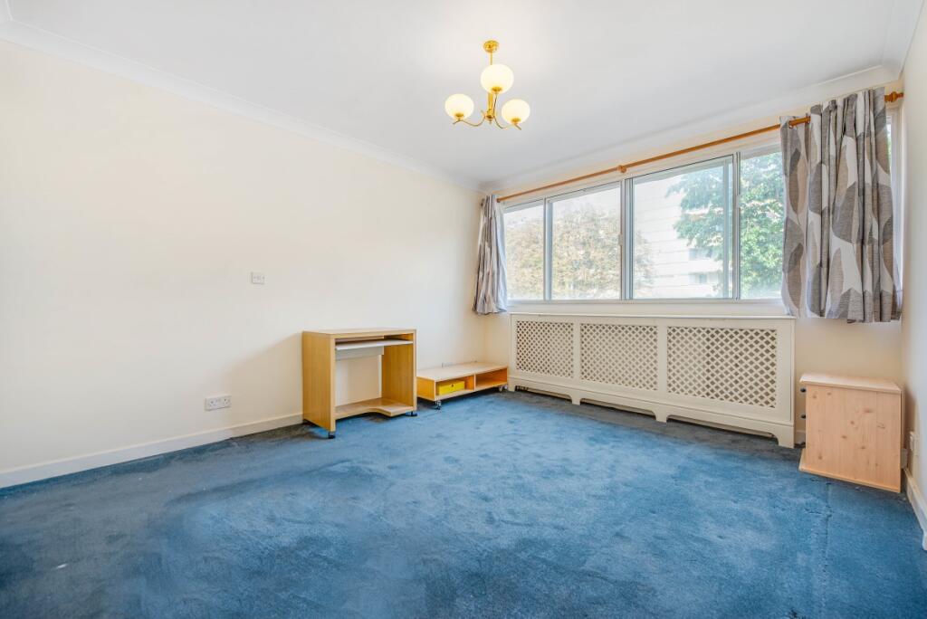
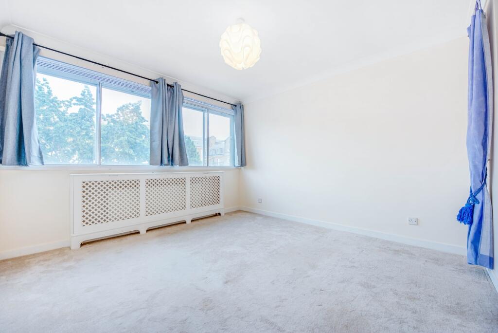
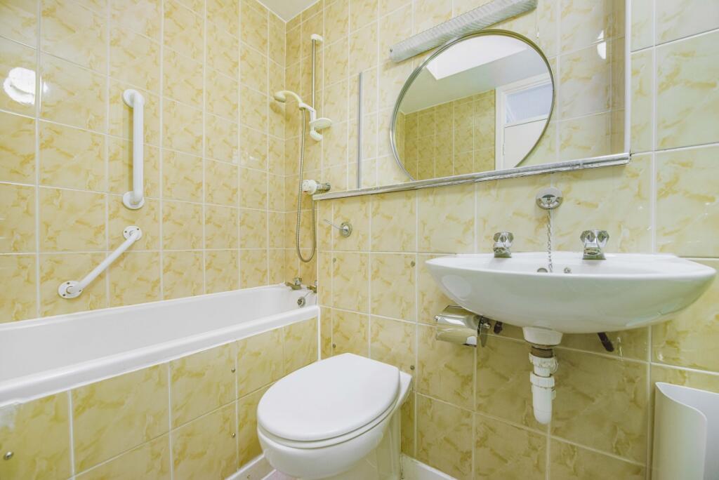
Key features
- Three-bedroom duplex apartment
- Lift access
- Ample natural light
- Furnished
- 24 hour porter
- Available to sharers
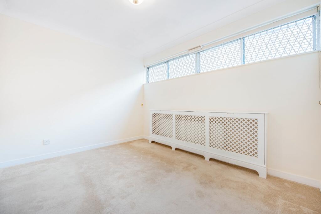
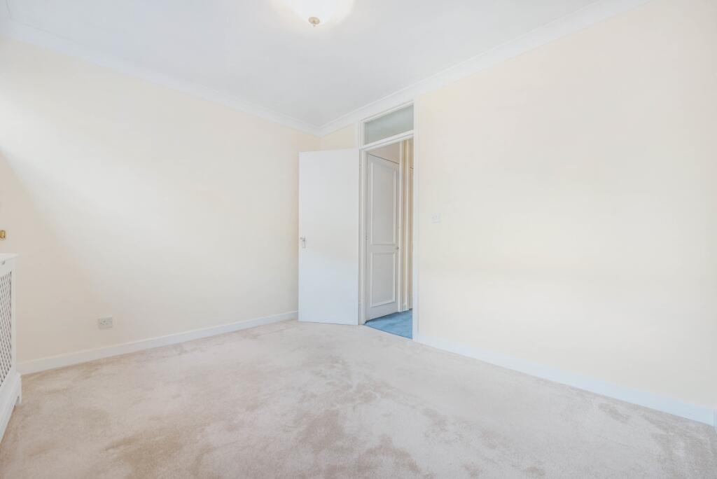
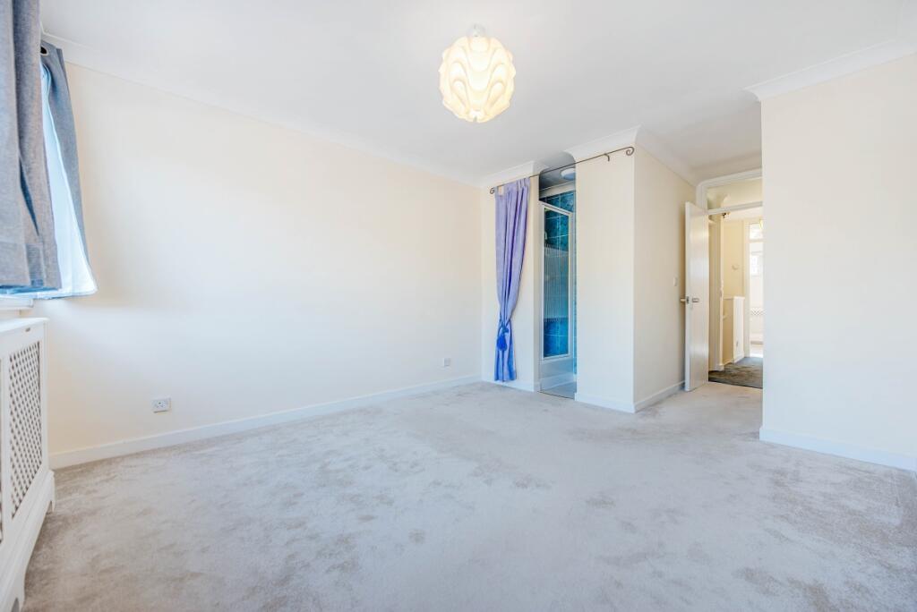
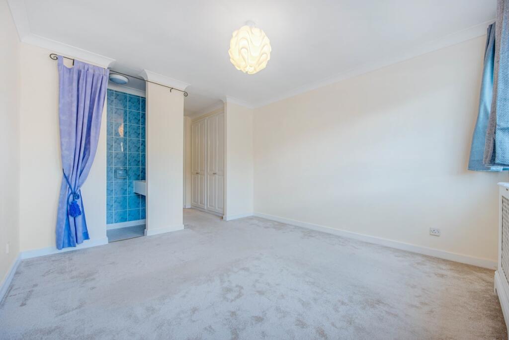
Description
The property is conveniently located moments from a Waitrose superstore whilst Royal Oak, Paddington, Bayswater and Queensway Tube stations can all be reached within a short walk.
Additional Information
Holding Deposit: £950 (1 week)*
Tenancy Deposit: £4,750 (5 weeks)*
Council Tax Band: F
*The deposit amounts are approximate and will vary depending on the final rent agreed. To check broadband and mobile phone coverage please visit Ofcom here ofcom.org.uk/phones-telecoms-and-internet/advice-for-consumers/advice/ofcom-checker
Listed by
Bayswater
The Lomond Group
Reference: 86919732
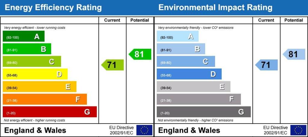
EPC Rating & Upgrade Cost
Current rating: C
Potential rating: B
Inspection date: 14/05/2021
Expiry date: 13/05/2031
Est. upgrade cost to C: £2,198
Recommendations
- Flat roof or sloping ceiling insulation (£850 - £1,500)
- Cavity wall insulation (£500 - £1,500)
- Increase hot water cylinder insulation (£15 - £30)
Flood risk
Zone: 1
Risk: Low
Job (default Low)
Floorplans
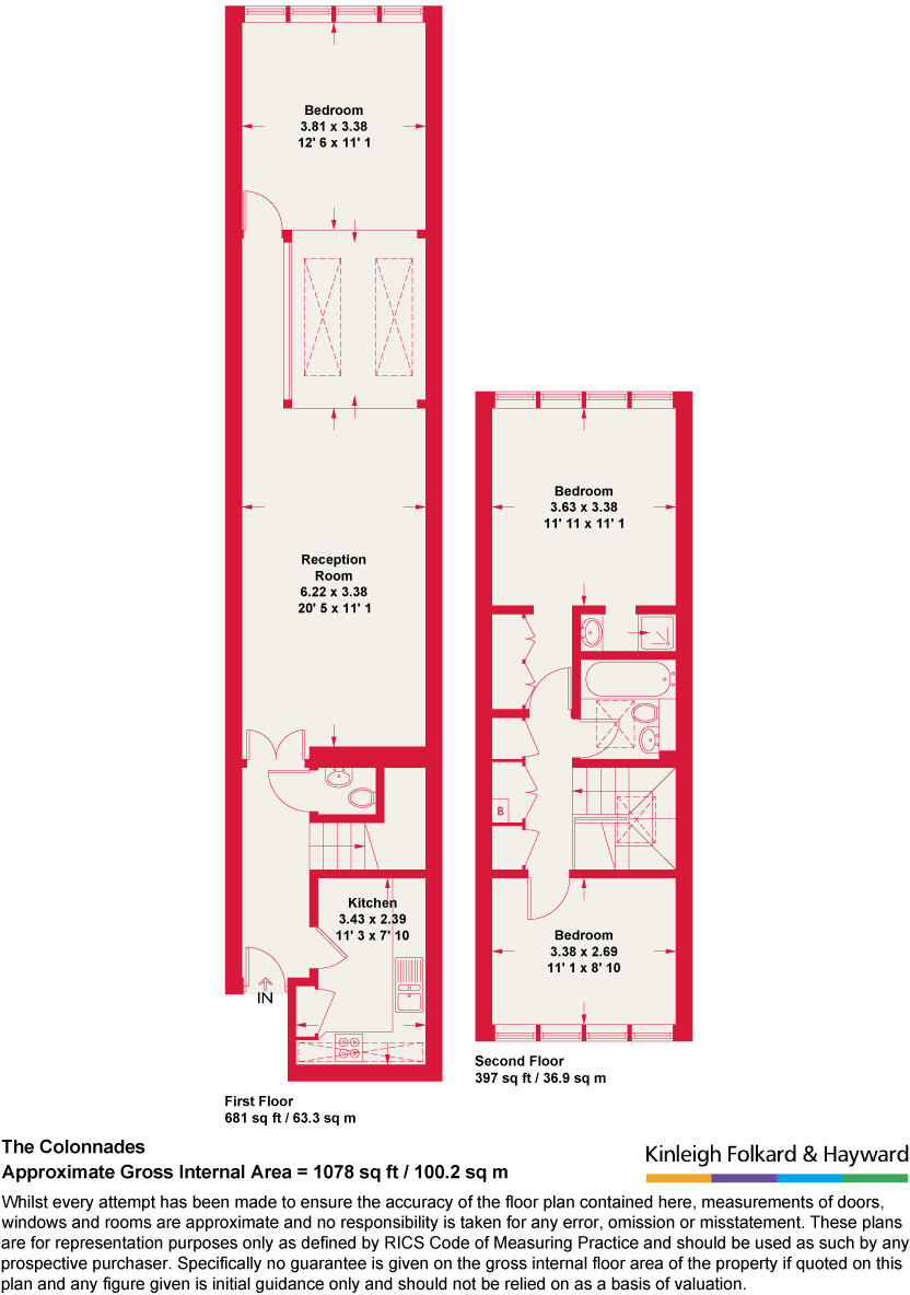
Floorplan
EPC Graphs
Revised EPC
Rental Range
Estimated market rent for Westminster. Low = conservative, Realistic = average, Optimistic = best case.
Based on Local Authority from postcode lookup → Westminster.
LHA (30th percentile) floor for Central London: £2,154/mo (Apr 2025 – Mar 2026)
Location
Address
38 Porchester Road
Nearby
Nearest stations, universities and amenities (distance from property).
| Type | Name | Distance |
|---|---|---|
| Shop | Graham & Green | 0.0 miles |
| Bus stop | Porchester Road / Royal Oak | 0.0 miles |
| Shop | Nails Design | 0.0 miles |
| Bus stop | Porchester Terrace North | 0.0 miles |
| Train station | Royal Oak | 0.2 miles |
| Train station | Bayswater | 0.3 miles |
| University | Kennet West Skills Centre | 0.9 miles |
| University | LBS Behaviour Lab | 1.3 miles |
| Hospital | The Portland Hospital | 1.9 miles |
| Hospital | Sleep & Health Clinic | 2.1 miles |
Street-level crime
| Category | Count |
|---|---|
| Anti-social behaviour | 420 |
| Violence and sexual offences | 331 |
| Shoplifting | 183 |
| Other theft | 155 |
| Theft from the person | 117 |
| Burglary | 92 |
| Public order | 89 |
| Drugs | 75 |
| Vehicle crime | 69 |
| Criminal damage and arson | 63 |
| Bicycle theft | 35 |
| Robbery | 33 |
| Possession of weapons | 14 |
| Other crime | 7 |
| Total incidents | 1683 |
Within 1 mile during Apr 2026. Source: data.police.uk (England & Wales).
Schools nearby
Nearest open schools with Ofsted ratings (England). Closed schools are not shown. Data from Get Information about Schools and Ofsted.
| Name | Type | Distance | Ofsted |
|---|---|---|---|
| Hallfield Primary School | Primary | 0.2 miles | Good — 18 Nov 2013 |
| College Park School | Other | 0.2 miles | Good — 23 Oct 2013 |
| Edward Wilson Primary School | Primary | 0.3 miles | Good — 20 Jun 2023 |
| Westminster Academy | Secondary | 0.4 miles | Good — 12 Nov 2023 |
| Our Lady of Dolours Catholic Primary | Primary | 0.4 miles | Good — 29 Jun 2023 |
Rental Comparables
Rental comparables are temporarily unavailable while listing-site fetches are paused. Try again later.