Wa6 8Pn
WA6 8PN
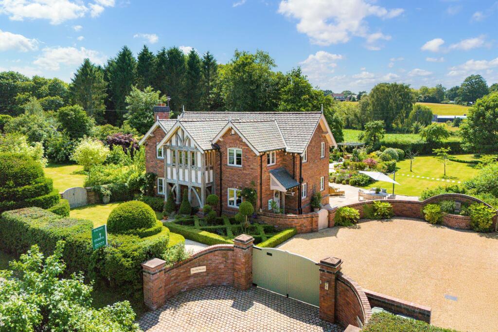
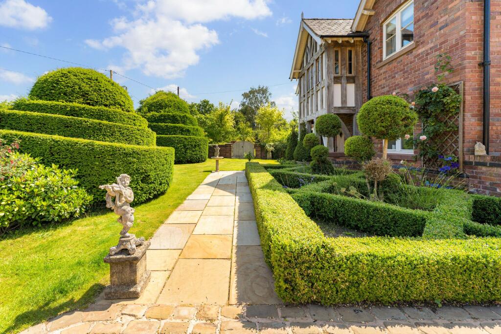
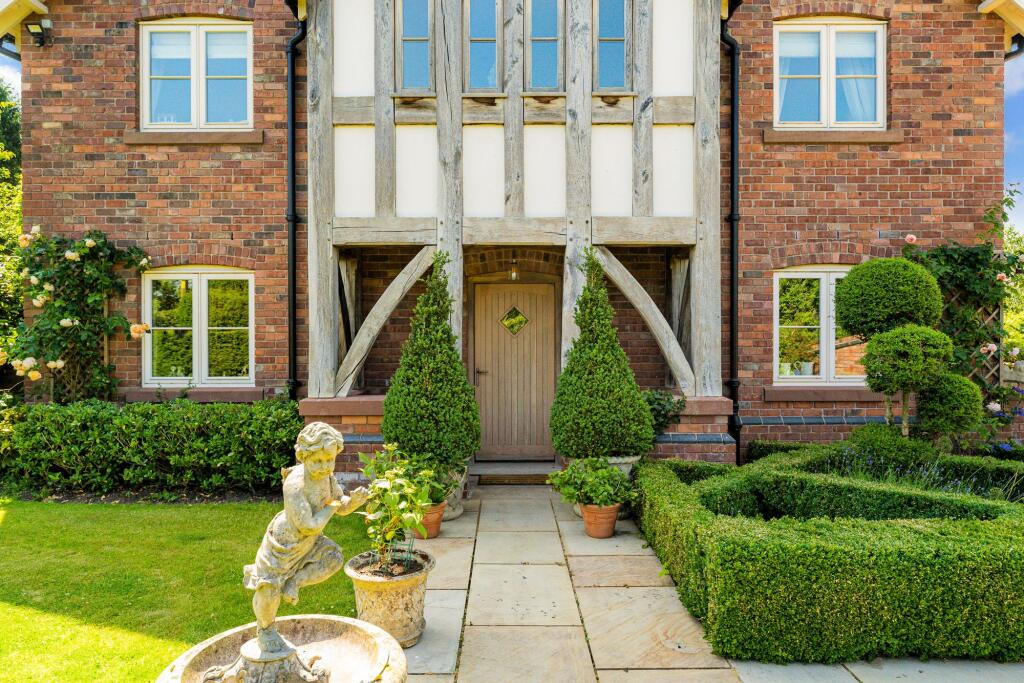
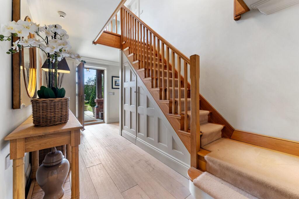
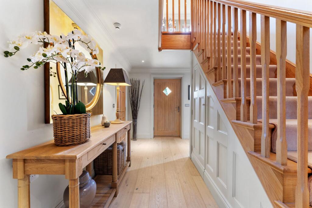
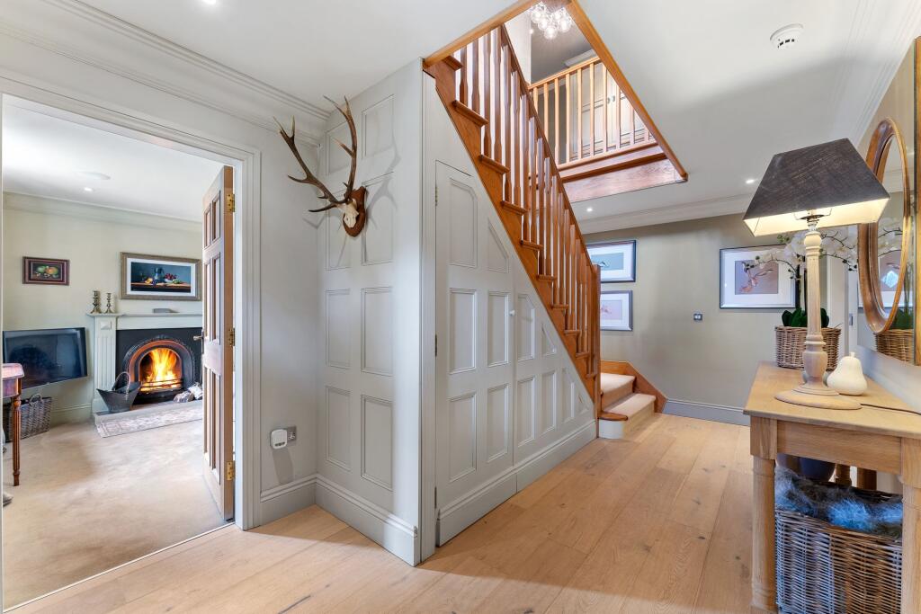
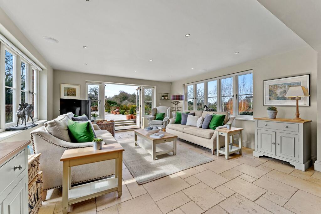
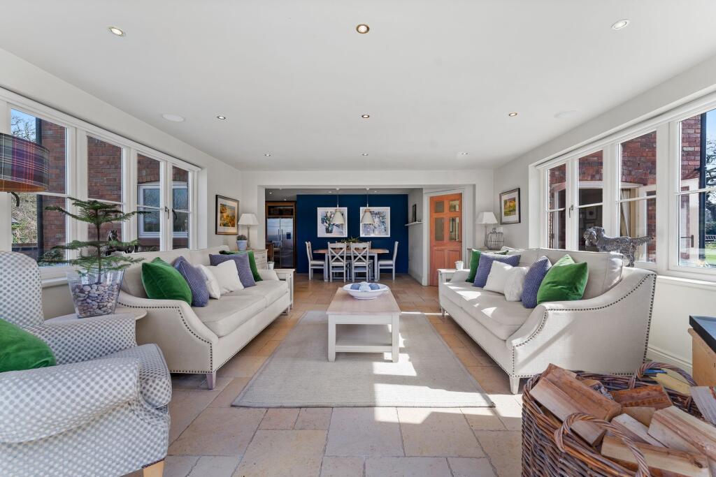

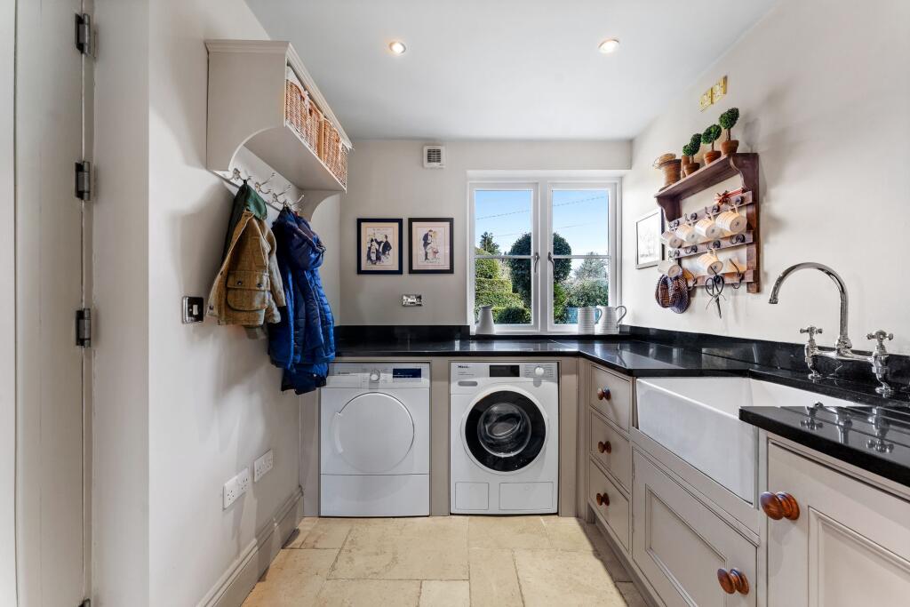
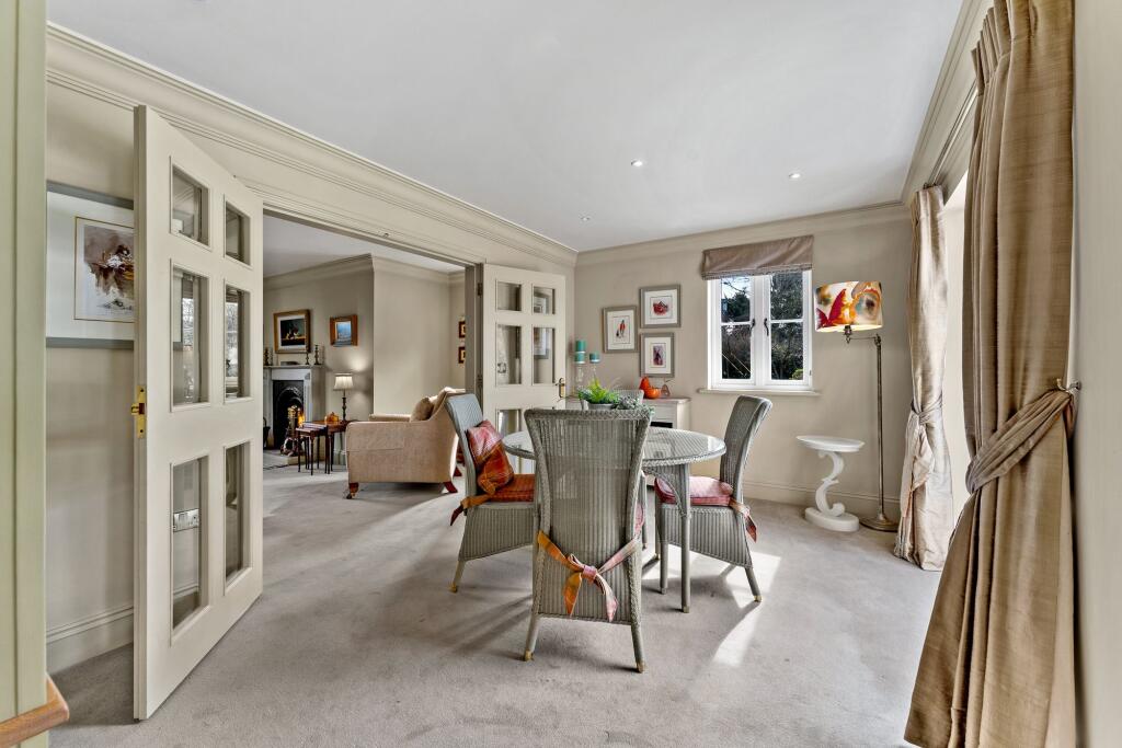
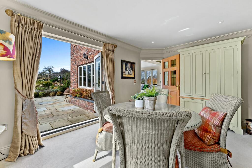
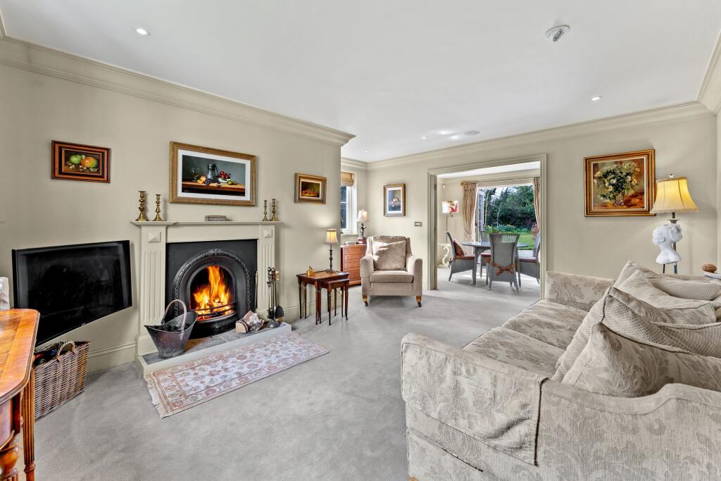
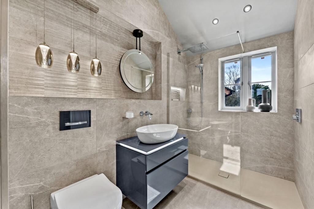
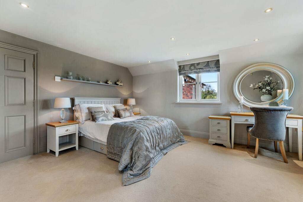
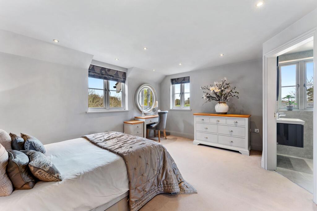
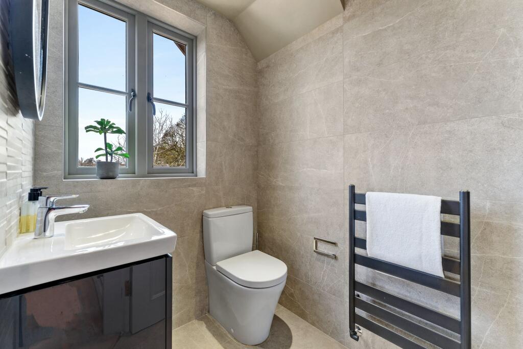
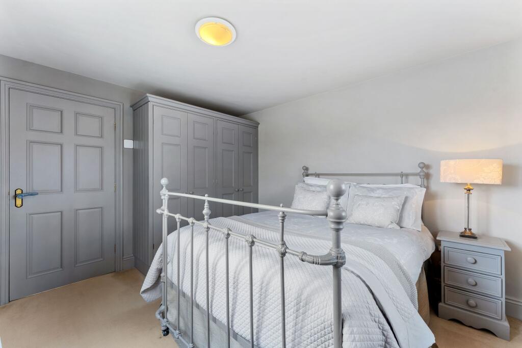
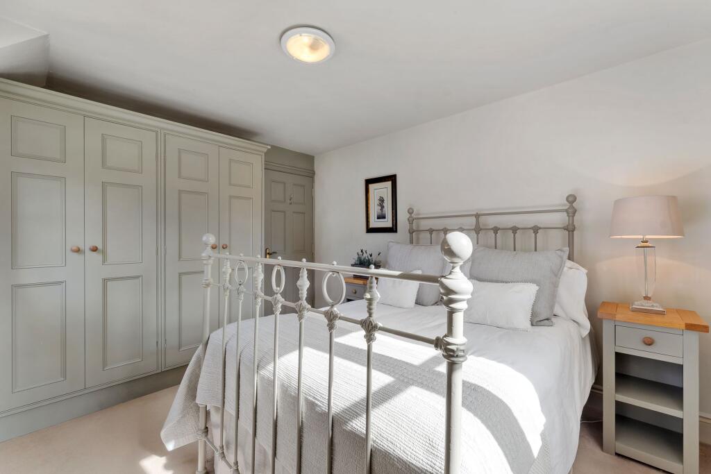
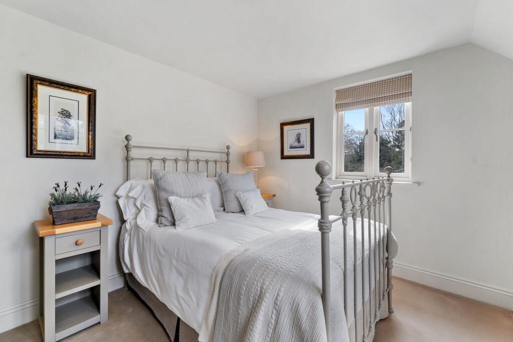
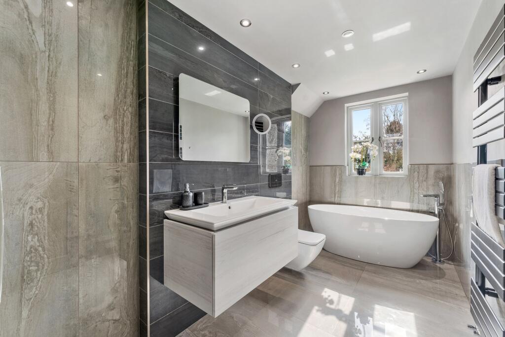
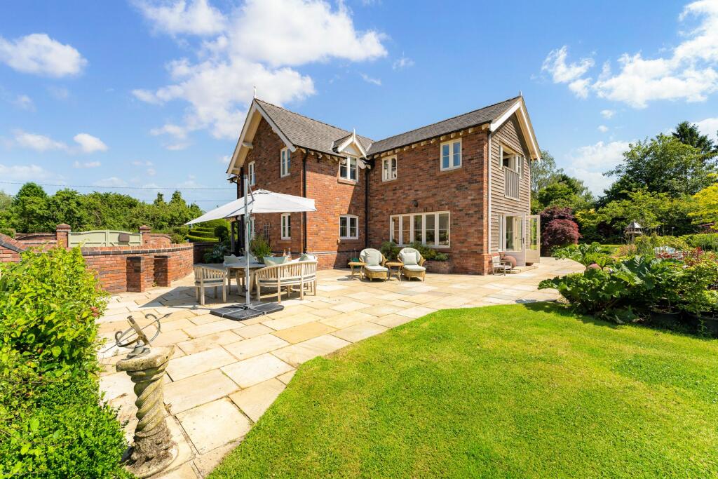
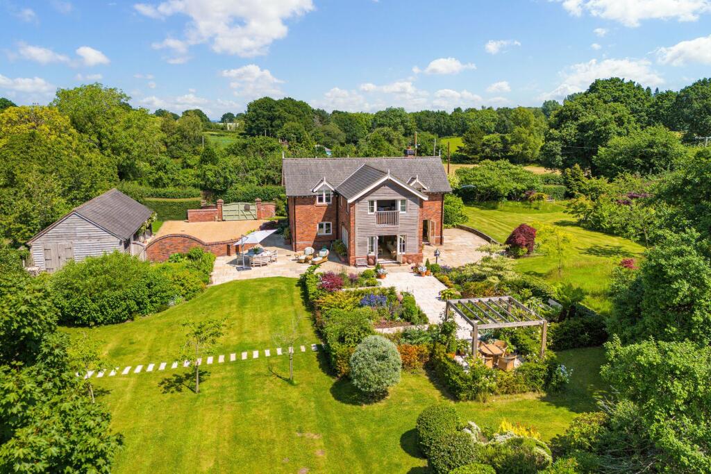
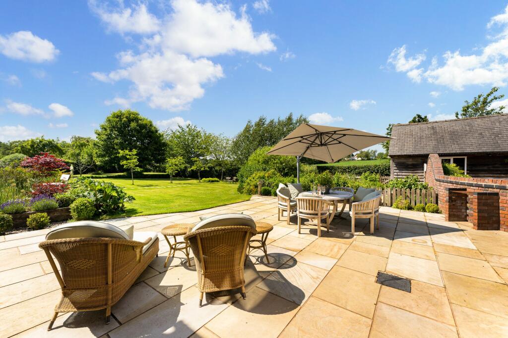

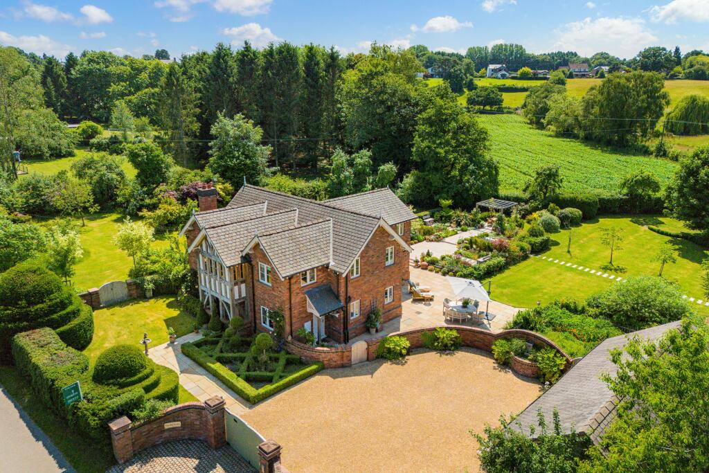
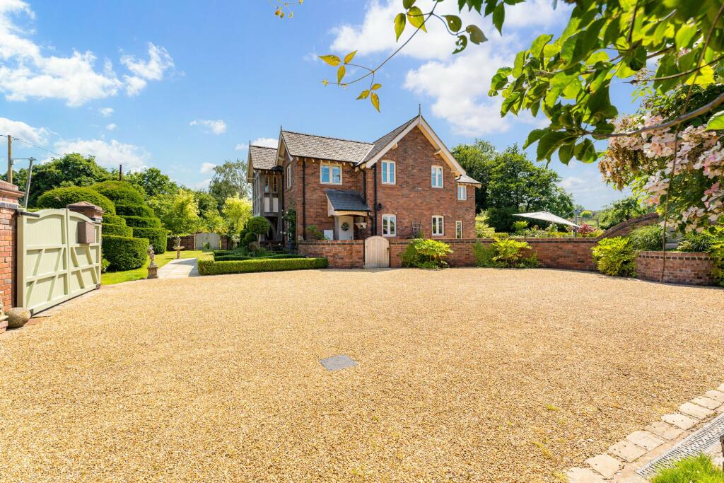
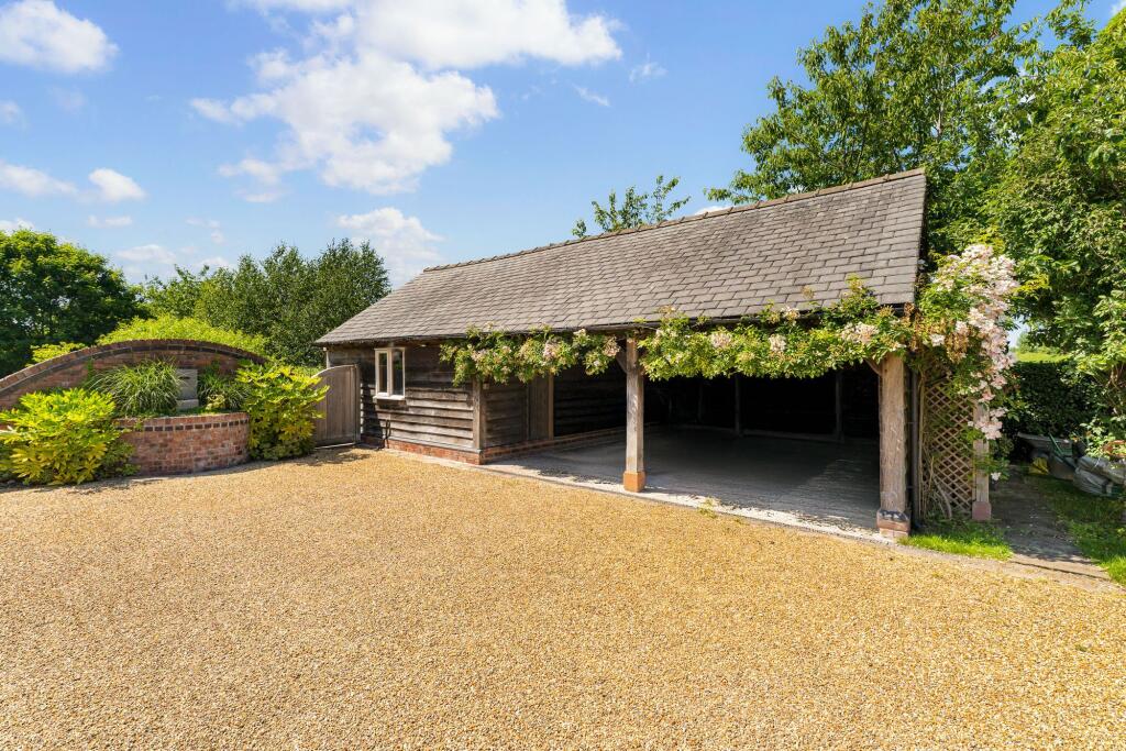
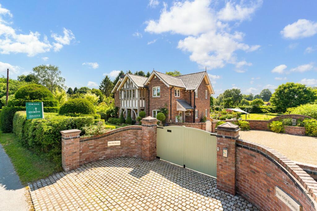
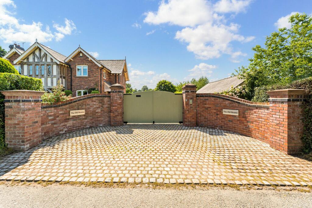
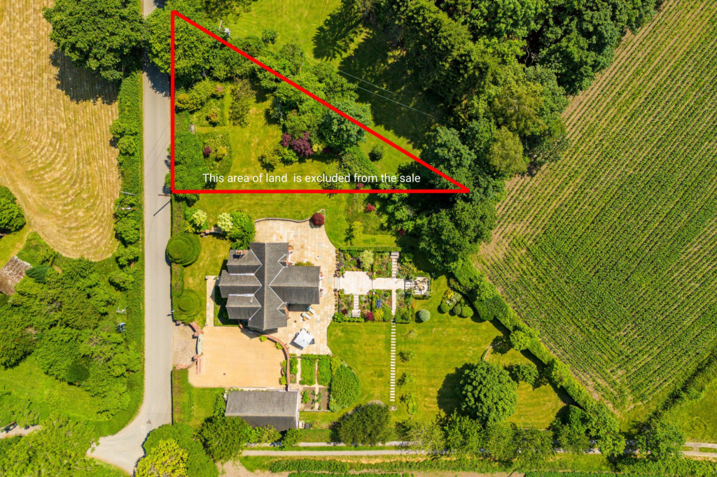
Photo 1 Photo 2 Photo 3 Photo 4 Photo 5 Photo 6 Photo 7 Photo 8 Photo 9 Photo 10 Photo 11 Photo 12 Photo 13 Photo 14 Photo 15 Photo 16 Photo 17 Photo 18 Photo 19 Photo 20 Photo 21 Photo 22 Photo 23 Photo 24 Photo 25 Photo 26 Photo 27 Photo 28 Photo 29 Photo 30 Photo 31 Photo 32 Photo 33 Photo 34 Photo 35 Photo 36 Photo 37 Photo 38 Photo 39 Photo 40 Photo 41 Photo 42 Photo 43 Photo 44 Photo 45 Photo 46 Photo 47 Photo 48 Photo 49 Photo 50 Photo 51 Photo 52 Photo 53 Photo 54 Photo 55
/ 55
Property details
Tenure
FREEHOLD
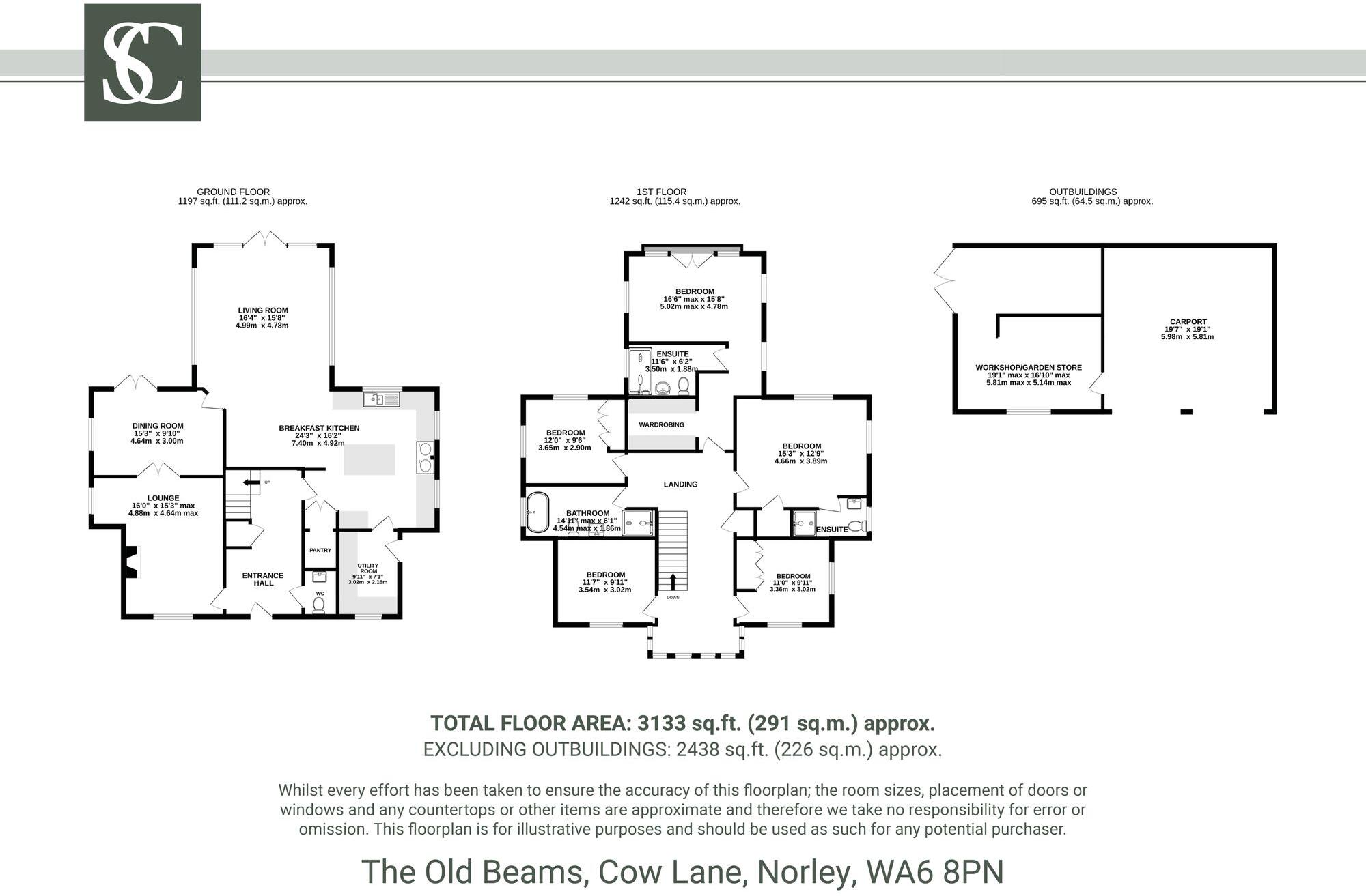
Floor area
236 m²
Council tax band
G
Deprivation
Decile 8 (26,265 of 33,755)
EPC ratings on this postcode
We don't have a matched EPC for this property yet. Below are efficiency scores and details for other addresses on this postcode.
| Address | Current | Potential | Floor area | Age band | Type |
|---|---|---|---|---|---|
| Lester Dale, Cow Lane, Norley, FRODSHAM | 78 | 86 | 237 m² | England and Wales: 2003-2006 | Detached |
| The Old Beams, Cow Lane, Norley | 76 | 90 | 236 m² | England and Wales: 2003-2006 | House |
| The Old Beams, Cow Lane, Norley, FRODSHAM | 76 | 90 | 236 m² | England and Wales: 2003-2006 | Detached |
Flood risk
Zone: 1
Risk: Low
Not in Flood Risk Area (no data)
Floorplans
All
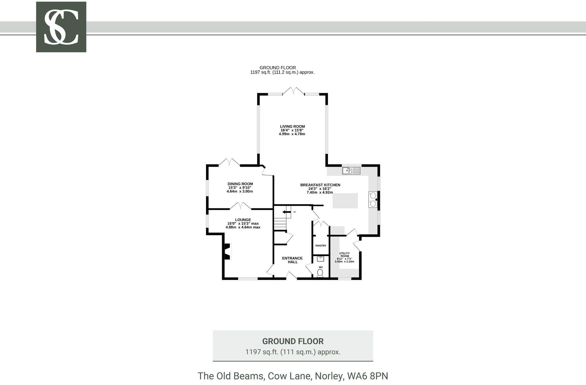
Ground Floor
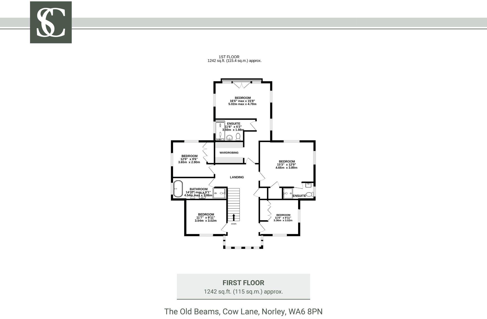
First Floor
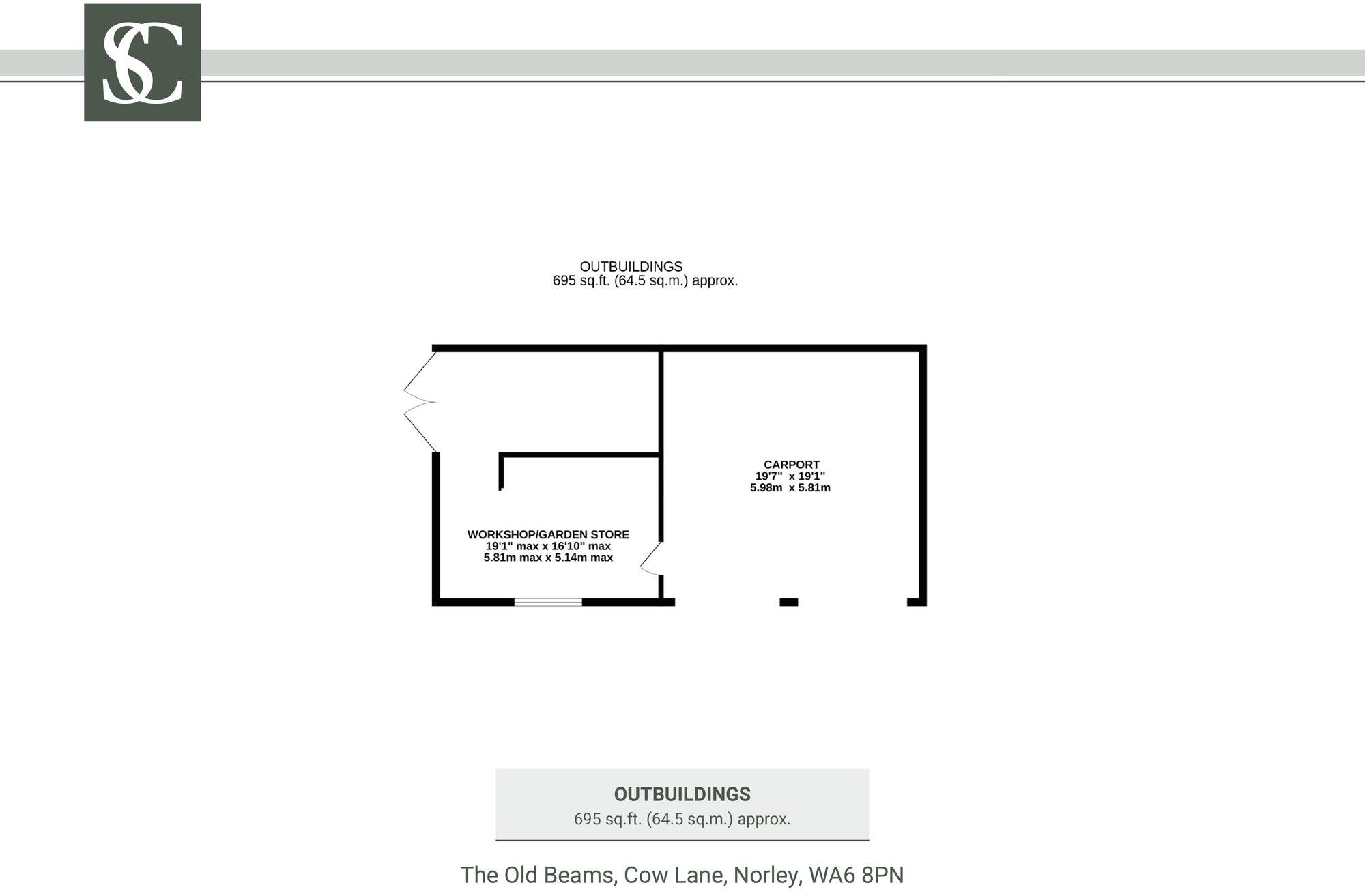
Outbuildings
EPC Graphs
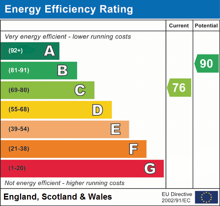
EPC 1
Price history
No sales history found for this property in Land Registry Price Paid data.
Sold Comparables
Same street and nearby sales within 0.25 miles (last 5 years). Data from Land Registry Price Paid.
| Address | Price | Date | Type |
|---|---|---|---|
| MOSS FARM COW LANE, NORLEY, FRODSHAM, CHESHIRE WEST AND CHESTER, WA6 8PN | £810,000 | 11/07/2022 | Other |
Area average: £810,000 (1 sale)
Capital growth trend
Land Registry outcode average: last 12 months vs 5y and 10y ago (from sold prices).
House Price Index (HM Land Registry — official index, not sold-price averages): Cheshire West and Chester. Series: All dwelling types. As of March 2026.
Rental Range
Estimated market rent for Cheshire West and Chester. Low = conservative, Realistic = average, Optimistic = best case.
Based on Local Authority from postcode lookup → Cheshire West and Chester.
LHA (30th percentile) floor for Central Lancs: £922/mo (Apr 2025 – Mar 2026)
Location
Nearby
Nearest stations, universities and amenities (distance from property).
| Type | Name | Distance |
|---|---|---|
| Bus stop | Norley, Finger Post Lane / Fernbank | 0.2 miles |
| Bus stop | Norley, School Bank / West View Road | 0.3 miles |
| Shop | The Stores | 0.3 miles |
| Shop | Norley Stores | 0.3 miles |
| Train station | Delamere | 1.6 miles |
| Train station | Cuddington | 1.7 miles |
| Hospital | Victoria Infimary | 5.1 miles |
| Hospital | The NeuroMuscular Centre | 5.6 miles |
| University | University of Chester - Kingsway | 10.1 miles |
| University | University of Chester - Queen's Park Campus | 11.0 miles |
Street-level crime
Crime data is not yet available for this property.
Rental Comparables
Loading rental comparables for this postcode. Refresh in a few minutes.
Enter House Number
Enter the house number to help us retrieve more accurate pricing history and property data.
Please log in to submit or correct the house number for this listing.
Log in to continue