37 MINSTER WAY
BATH, BATH AND NORTH EAST SOMERSET BA2 6RH
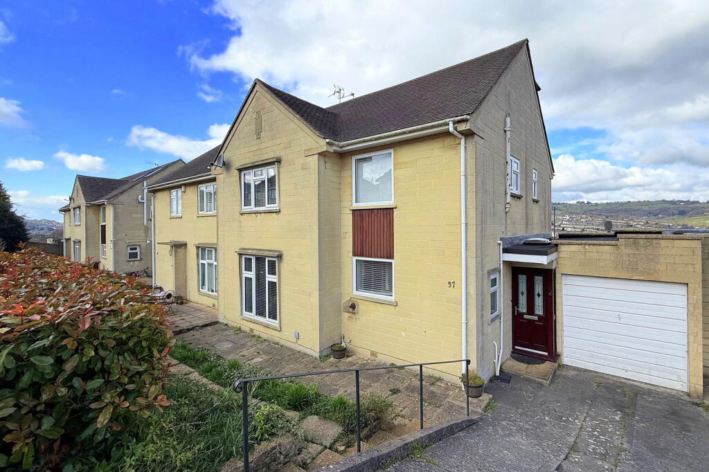
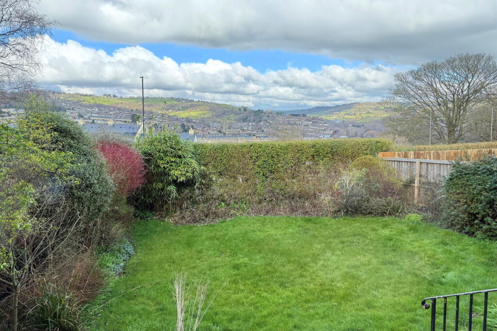
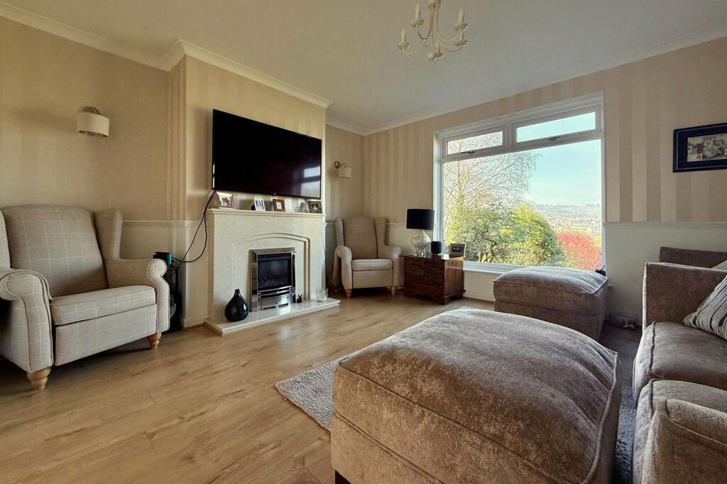
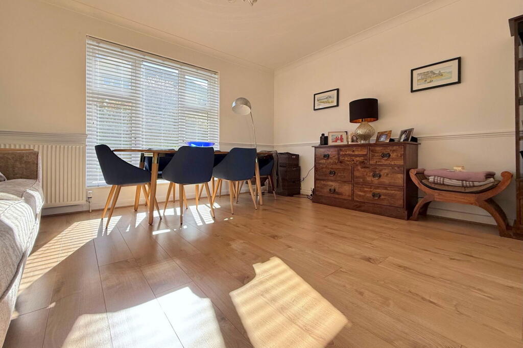
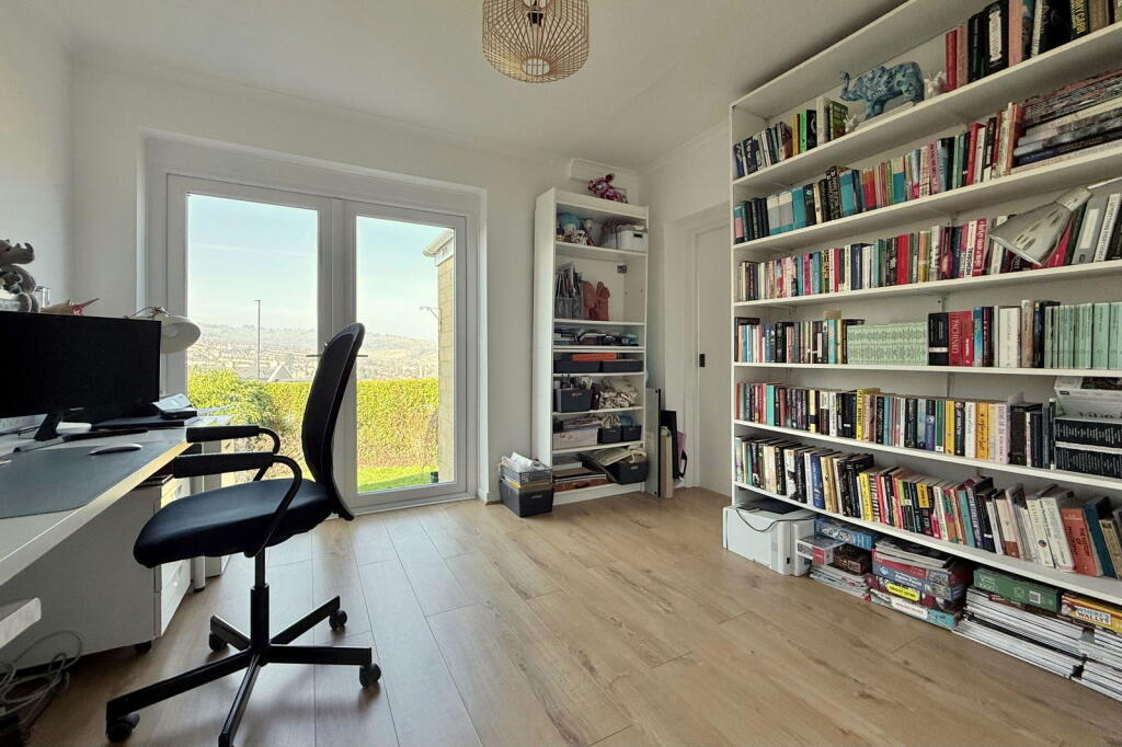
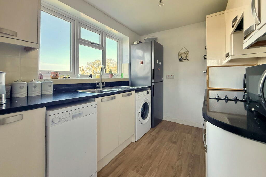
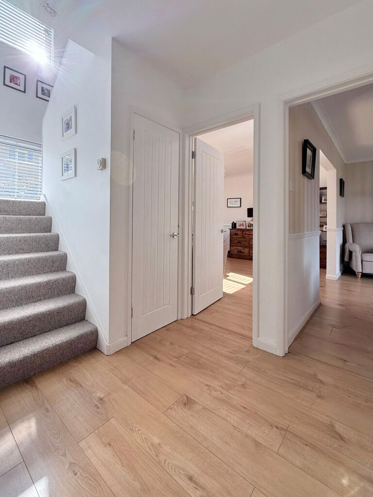
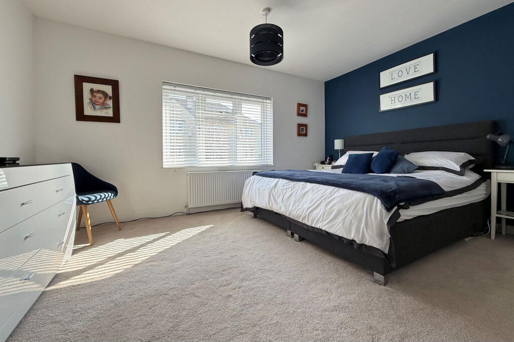
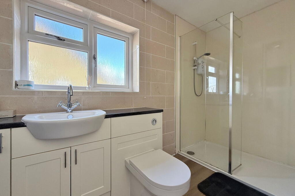
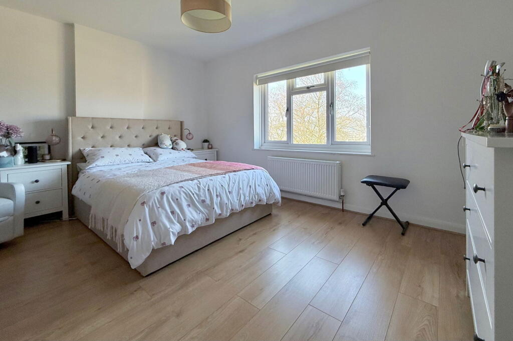
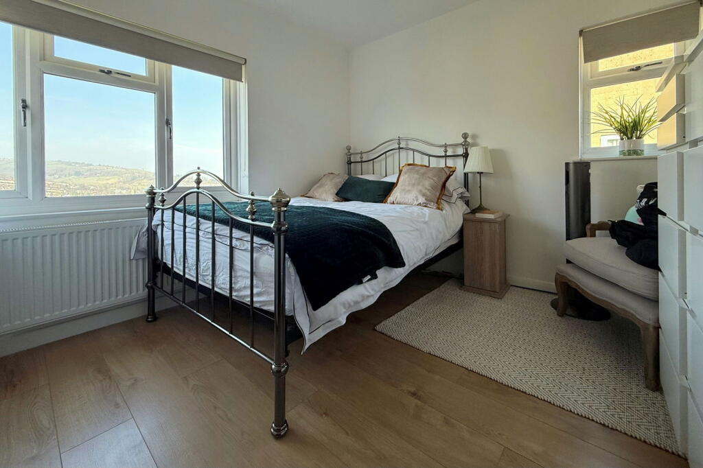
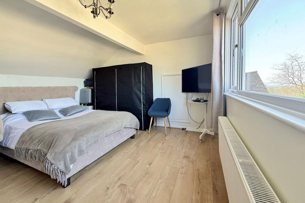
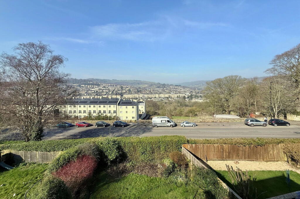
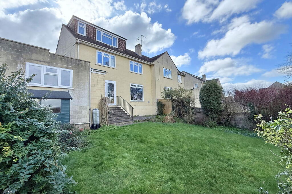
Photo 1 Photo 2 Photo 3 Photo 4 Photo 5 Photo 6 Photo 7 Photo 8 Photo 9 Photo 10 Photo 11 Photo 12 Photo 13 Photo 14
/ 14
Property details
Tenure
FREEHOLD
Floor area
146 m²
Council tax band
F
EPC rating
C
Last sold
£680,000 Mar 2026
Price per m²
£4,795/m²
Local average
£519,188 (+34.8%)
Deprivation
Decile 10 (32,792 of 33,755)
Street crime
228 incidents within 1 mile (Jun 2026)
Key features
- Sought after ‘no through’ road on the edge of the city centre
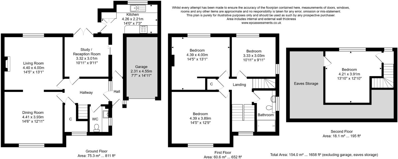
- Four double bedrooms and 3 reception rooms
- Well presented, particularly spacious and bright accommodation
- Garage, driveway and lovely open views
Additional details
- Parking
- Garage, Driveway
- Garden
- Private garden
Description
ACCOMMODATION
4 good sized bedrooms
bathroom
cloakroom
living room
dining room
further reception room
kitchen
gas fired heating
double glazing
single garage and driveway
EXTERNALLY
There is a small garden in front of the house, with shrubs, whilst to the rear, there is an enclosed garden, mainly laid to lawn with flower beds, herbaceous borders, ornamental bushes and shrubs. To the side of the property sits the single garage with sloping driveway to the road. Residents’ parking permits (zone 14) are also available.
LOCATION
The house stands in this desirable and most convenient residential location. It is close to Bathwick St Mary's and King Edward’s schools - as well as the range of shops and amenities on Bathwick Street, and Sydney Gardens (with its excellent children’s play area, tennis courts and access onto the Kennet and Avon Canal). The very centre of Bath and Bath Spa Railway Station are also within walking distance.
Tenure: Freehold
Council tax band: ‘F’ £3,043.52
Listed by
Bath
Whiteley Helyar
Reference: 166342646
EPC Rating & Upgrade Cost
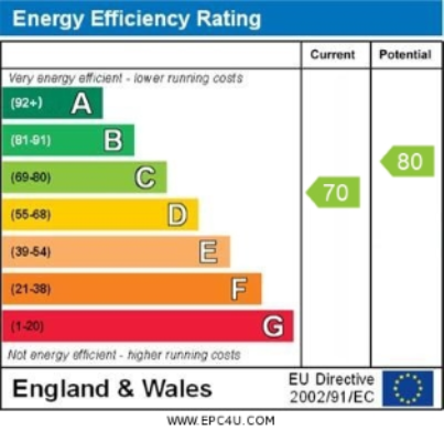
Current rating: C
Potential rating: C
Inspection date: 12/03/2025
Expiry date: 11/03/2035
Current heating cost: £1,180/year
Potential heating cost: £1,051/year
Est. upgrade cost to C: £6,520
Recommendations
- Cavity wall insulation (£500 - £1,500)
- Floor insulation (suspended floor) (£800 - £1,200)
- Low energy lighting for all fixed outlets (£20)
- Solar photovoltaic panels, 2.5 kWp (£3,500 - £5,500)
Flood risk
Zone: 1
Risk: Low
Job (default Low)
Registered land (INSPIRE)
This location falls inside an HM Land Registry INSPIRE registered freehold polygon.
Plot: ~480 m² (0.12 acres)
Source: HM Land Registry INSPIRE Index Polygons.
Floorplans
Floorplan 1
EPC Graphs
EPC 1
FENSA Certificates
This property has 3 FENSA certificate(s) on record, indicating window/door installations by FENSA-approved installers.
FENSA Certificate #144935
Property Details
Street: 37 Minster Way
Town: BATH
Postcode: BA2 6RH
Installation Details
Items: 3 windows
Certificate Issued: 15/10/2002
Work Completed: 19/09/2002
This certificate data was retrieved from FENSA's database
FENSA Certificate #8610189
Property Details
Street: 37 Minster Way
Town: BATH
Postcode: BA2 6RH
Installation Details
Items: 1 window and 1 door
Certificate Issued: 23/01/2012
Work Completed: 02/12/2011
This certificate data was retrieved from FENSA's database
FENSA Certificate #15220222 Recent
Property Details
Street: 37 Minster Way
Town: BATH
Postcode: BA2 6RH
Installation Details
Items: 12 windows and 1 door
Certificate Issued: 23/06/2022
Work Completed: 18/05/2022
This certificate data was retrieved from FENSA's database
What is FENSA? FENSA (Fenestration Self-Assessment Scheme) is a government-authorised scheme that monitors building regulation compliance for replacement windows and doors. Certificates indicate that work was completed by FENSA-approved installers.
Price history
16% since 2022
| Event | Date | Price | % change |
|---|---|---|---|
| Sold | 31/03/2026 (4 months ago) | £680,000 | +16.2% |
| Sold | 14/01/2022 (4 years ago) | £585,000 | — |
Source: HM Land Registry Price Paid Data. Crown copyright.
Sold Comparables
Same street and nearby sales within 0.25 miles (last 5 years). Data from Land Registry Price Paid.
| Address | Price | Date | Type |
|---|---|---|---|
| Same street 38 MINSTER WAY, BATH, BATH AND NORTH EAST SOMERSET, BA2 6RH | £605,000 | 09/06/2023 | Detached |
| 55 MINSTER WAY, BATH, BATH AND NORTH EAST SOMERSET, BA2 6RJ | £832,000 | 14/10/2022 | Semi-detached |
| 69 MINSTER WAY, BATH, BATH AND NORTH EAST SOMERSET, BA2 6RJ | £751,751 | 01/09/2022 | Semi-detached |
| 21 HOLBURNE PARK, BATHWICK, BATH, BATH AND NORTH EAST SOMERSET, BA2 6BL | £1,525,000 | 22/07/2022 | Semi-detached |
| 19 HOLBURNE PARK, BATHWICK, BATH, BATH AND NORTH EAST SOMERSET, BA2 6BL | £1,500,000 | 06/04/2022 | Semi-detached |
| Same street 33 MINSTER WAY, BATH, BATH AND NORTH EAST SOMERSET, BA2 6RH | £545,000 | 01/09/2021 | Terraced |
Street average: £575,000 (2 sales)
Area average: £1,152,188 (4 sales)
Capital growth trend
Land Registry outcode average: last 12 months vs 5y and 10y ago (from sold prices).
House Price Index (HM Land Registry — official index, not sold-price averages): Bath and North East Somerset. Series: Semi-detached. As of May 2026.
Rental Range
Estimated market rent for Bath and North East Somerset. Low = conservative, Realistic = average, Optimistic = best case.
Based on Local Authority from postcode lookup → Bath and North East Somerset.
LHA (30th percentile) floor for Bath: £1,940/mo (Apr 2025 – Mar 2026)
Location
Nearby
Nearest stations, universities and amenities (distance from property).
| Type | Name | Distance |
|---|---|---|
| Bus stop | Minster Way | 0.1 miles |
| Shop | Fettle | 0.5 miles |
| Shop | Unknown | 0.6 miles |
| Train station | Bath Spa | 1.1 miles |
| University | University of Bath | 1.1 miles |
| University | University of Bath Campus | 1.1 miles |
| Train station | Oldfield Park | 1.8 miles |
| Hospital | Dorothy House Hospice Care | 3.7 miles |
| Hospital | Trowbridge Community Hospital | 7.2 miles |
Street-level crime
| Category | Count |
|---|---|
| Violence and sexual offences | 64 |
| Anti-social behaviour | 54 |
| Other theft | 28 |
| Shoplifting | 24 |
| Public order | 16 |
| Burglary | 9 |
| Vehicle crime | 8 |
| Criminal damage and arson | 7 |
| Robbery | 6 |
| Theft from the person | 5 |
| Other crime | 3 |
| Bicycle theft | 2 |
| Drugs | 2 |
| Total incidents | 228 |
Within 1 mile during Jun 2026. Source: data.police.uk (England & Wales).
Schools nearby
Nearest open schools with Ofsted ratings (England). Closed schools are not shown. Data from Get Information about Schools and Ofsted.
| Name | Type | Distance | Ofsted |
|---|---|---|---|
| Bathwick St Mary Church School | Primary | 0.2 miles | Good — 17 Jan 2023 |
| King Edward's School | Other | 0.2 miles | — (No rating) |
| St Saviours Junior Church School | Primary | 0.7 miles | Good — 11 Apr 2013 |
| St Saviours Infant Church School | Primary | 0.7 miles | Good — 21 Sep 2022 |
| University of Bath | Other | 0.8 miles | — (No rating) |
Rental Comparables
Rental listings exist nearby, but none matched the 4-bedroom count for this property.
Rent-driven metrics
Based on Area rent estimate.
- Rent ratio — Monthly rent ÷ purchase price (1% rule). 1%+ = strong, 0.8–1% = okay, <0.8% = weak for cashflow.
- Max investor price — Rent ÷ 0.8%; the price at which rent would be 0.8% of price (Stoke-style target).
- Target investor price — Rent ÷ 1%; the price at which rent would be 1% of price (strong cashflow band).
- Gross yield — Annual rent as % of purchase price (no costs).